Eastern Sierra hikes - 2015
return to eastern sierra index
return to index
In September, Rich, Linda, Jean, Bonnie and I traveled to the Mineral King/Silver City area, near the entrance to King's Canyon NP. This was the first western Sierra Nevada destination for the East Sierra Trips group.
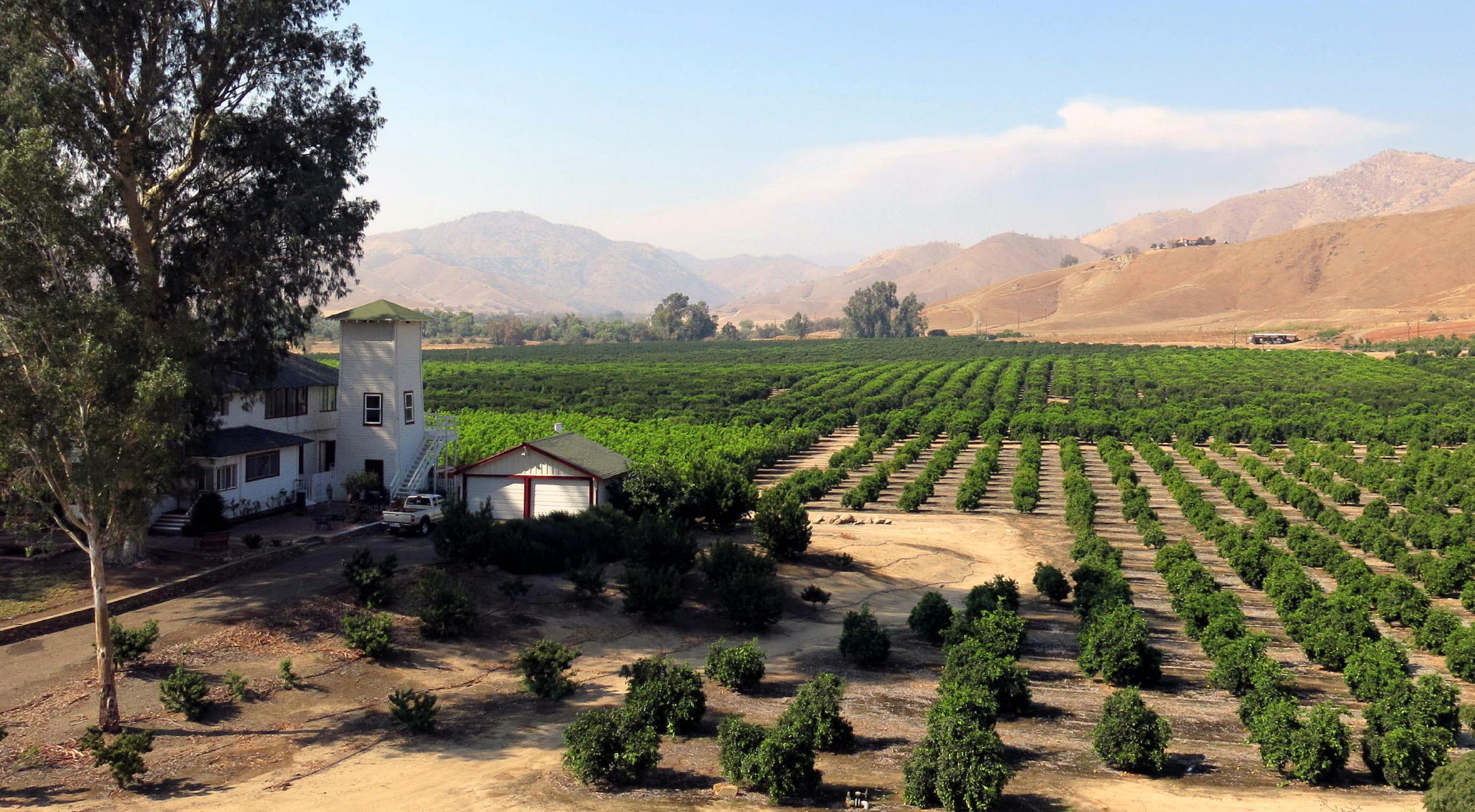
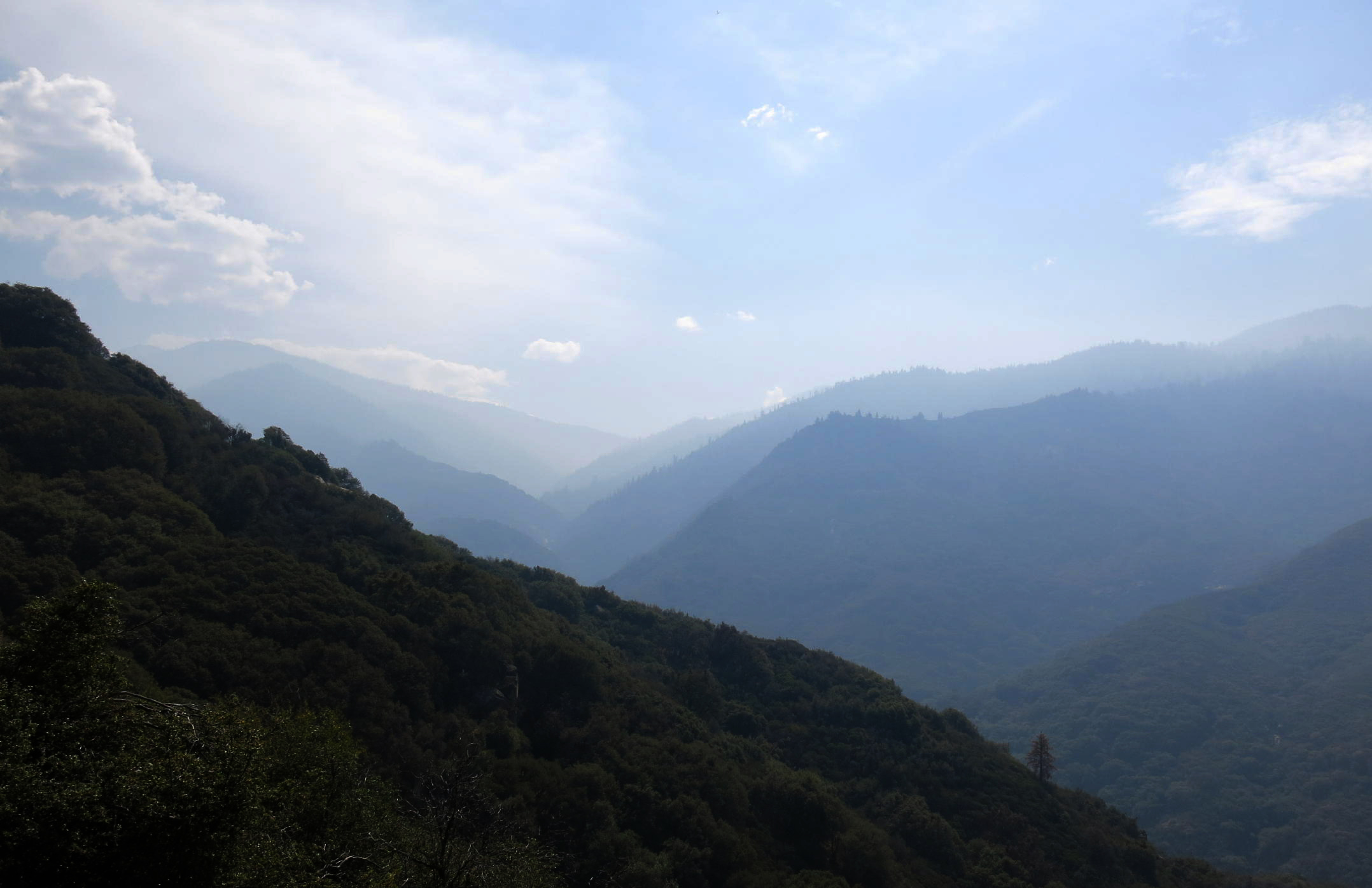
It is a long drive south from Sacramento (on hwy 99), and we encountered a lot of smoke near the Fresno area and points south. Once we reached Visalia & turned east for 73 miles, up into the hills, air quality improved.
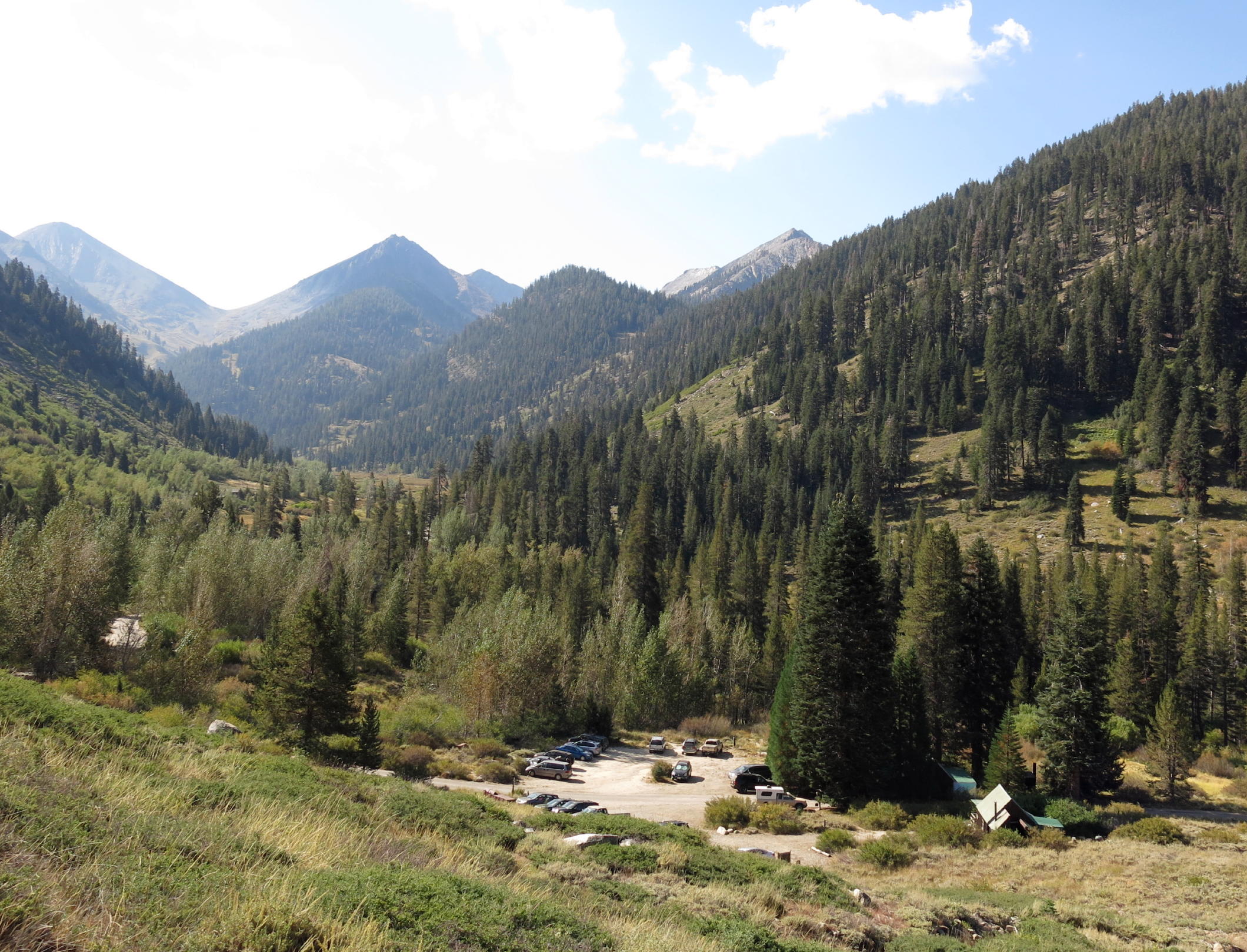
Mineral King Road is an amazing drive: you gain 5,000 ft. of elevation over 25 miles, and there are 100+ bends. Fortunately it is lightly traveled, mainly by campers, back-packers, or people who work or stay at Silver City Mountain Resort (at 6,730 ft.). We had clear skies and the cabins here are newer and we all crammed into one of them.
The drive there -
note - on a pc or laptop you can zoom in & and out, but not on a smartphone.
|
|
classic southern California orange grove scenery |
|
off the main road & onto Mineral King Rd. |
|
|
|
|
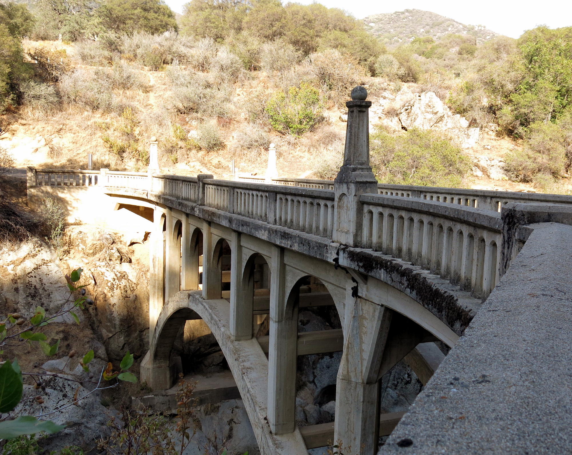
Kaweah River Bridge, from 1923 |
|
see note |
|
|
|
|
|
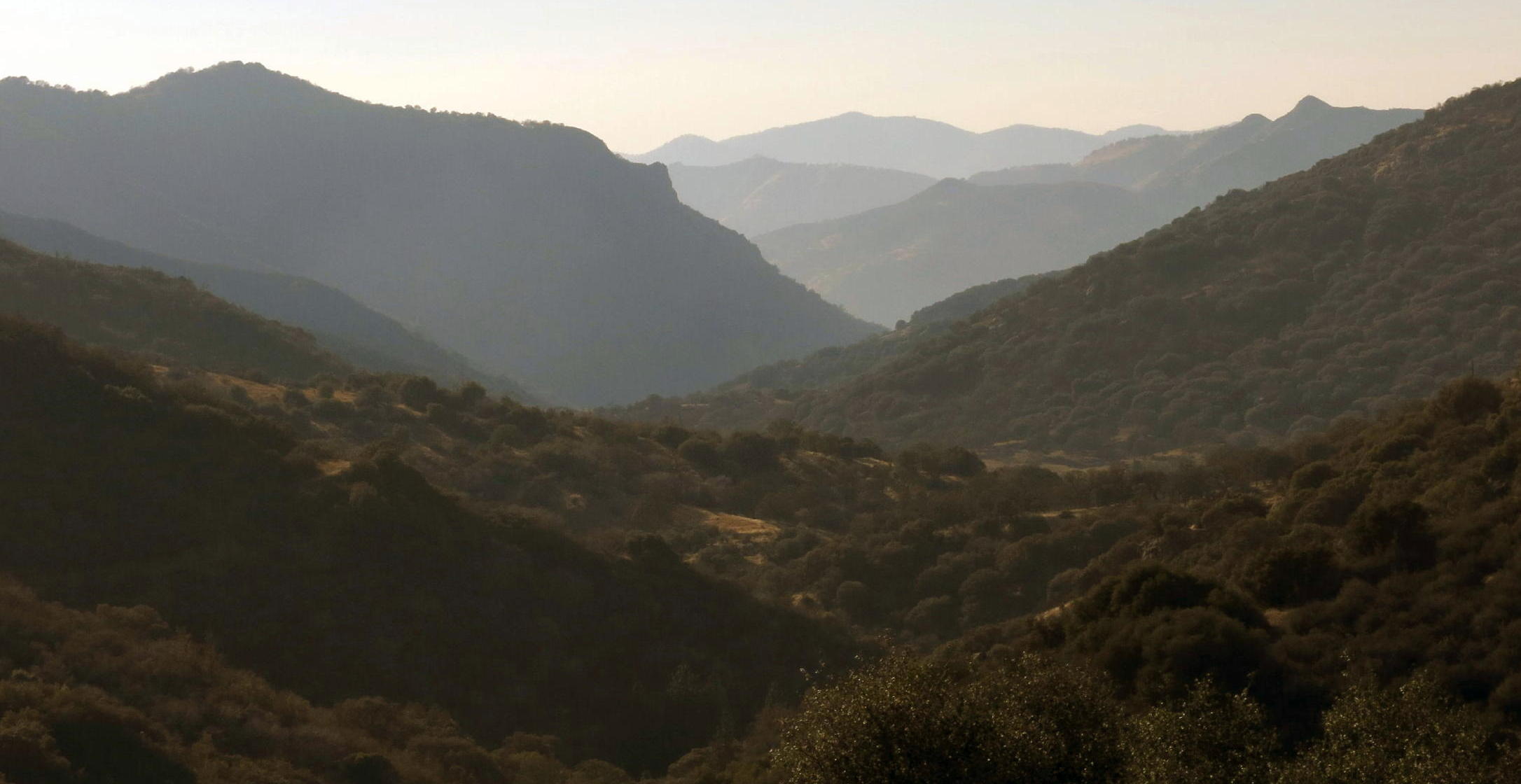
smoky landscape when arriving |
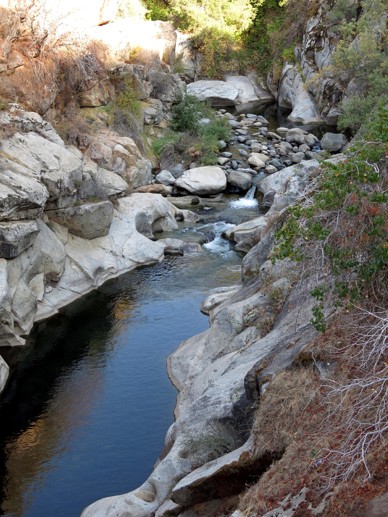
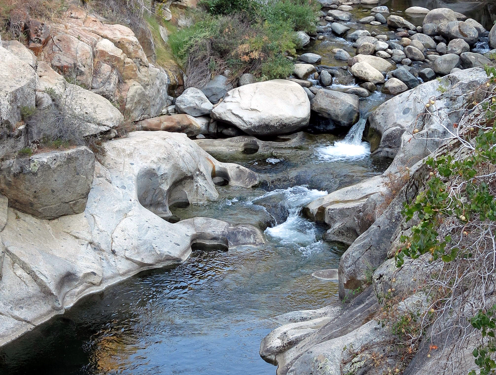
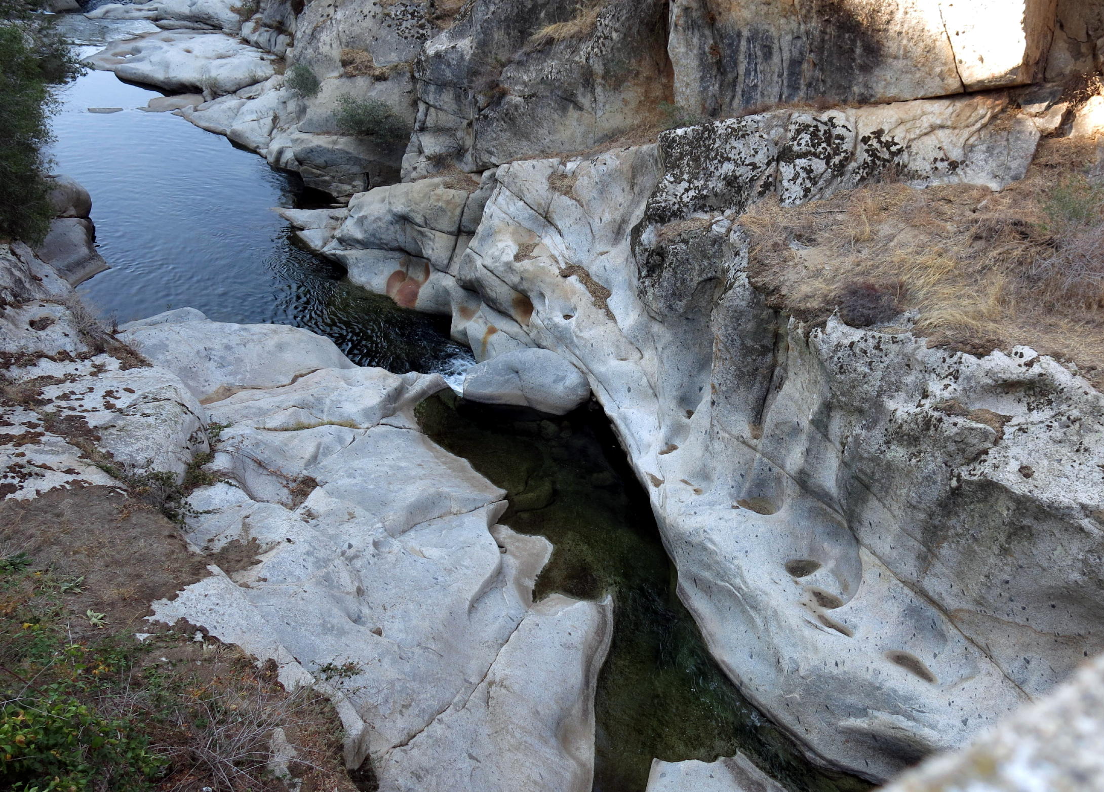
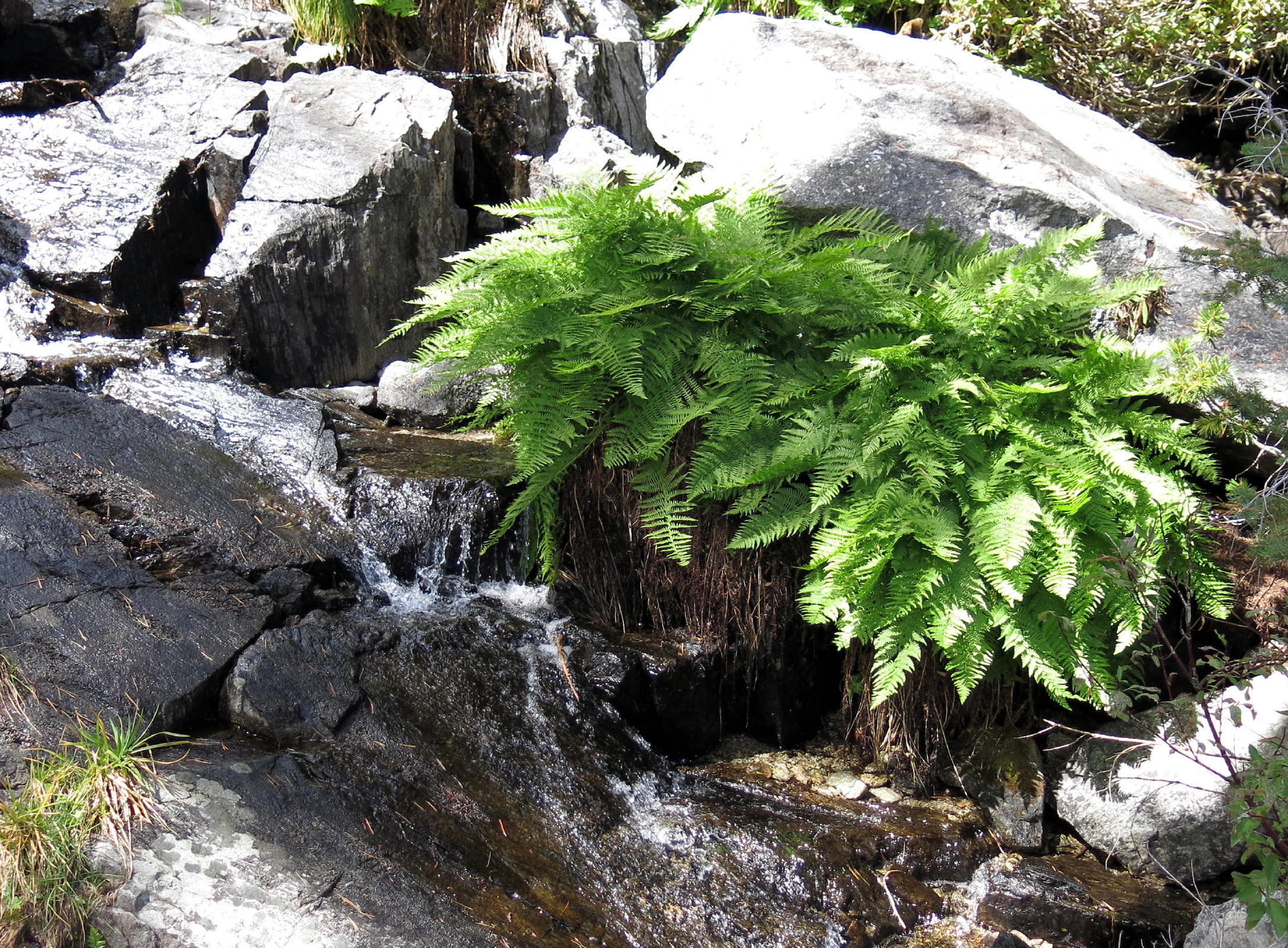
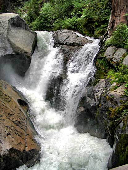
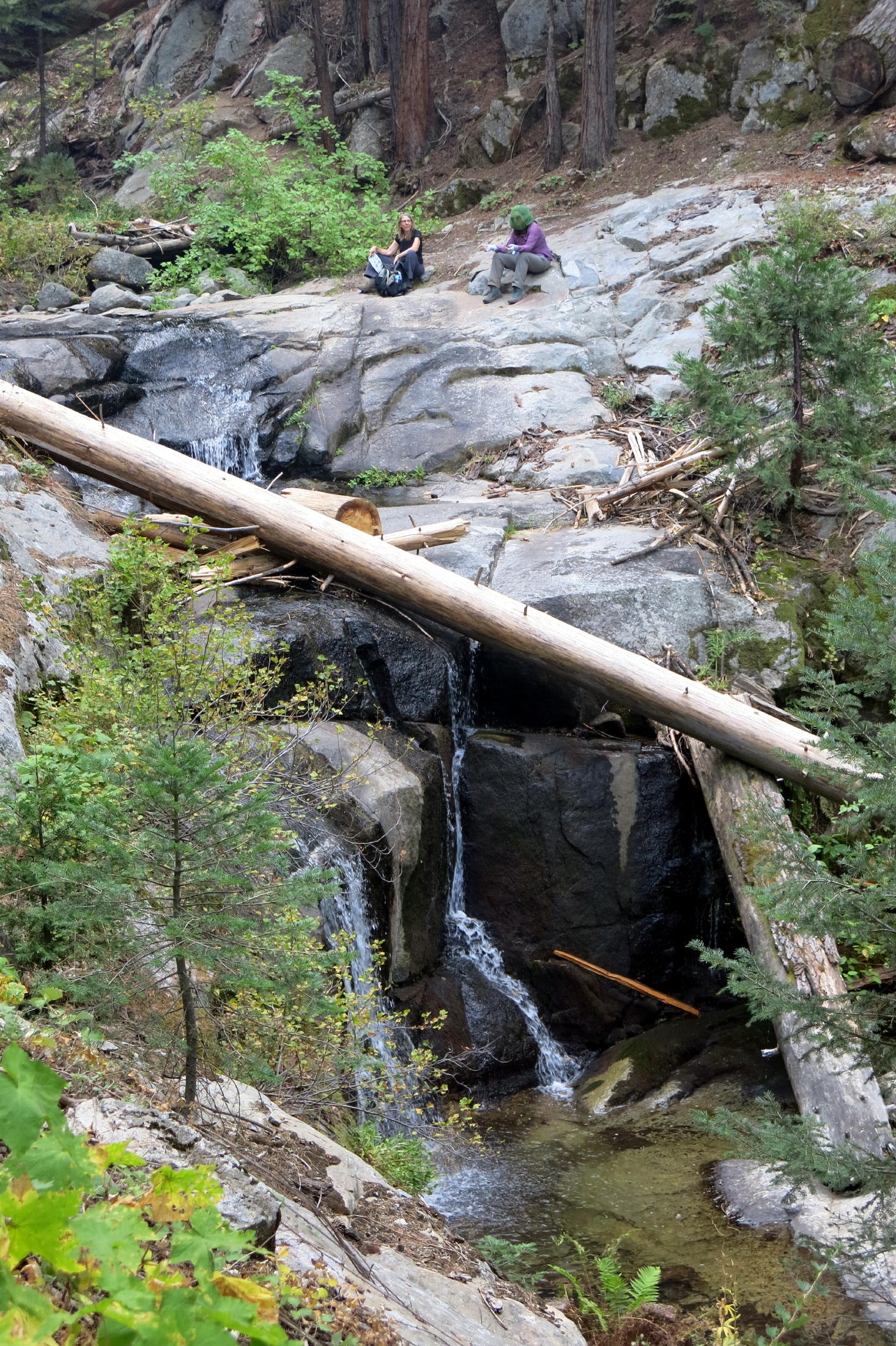
note - in steep terrain, river hydraulics carve out the rocks, over time.
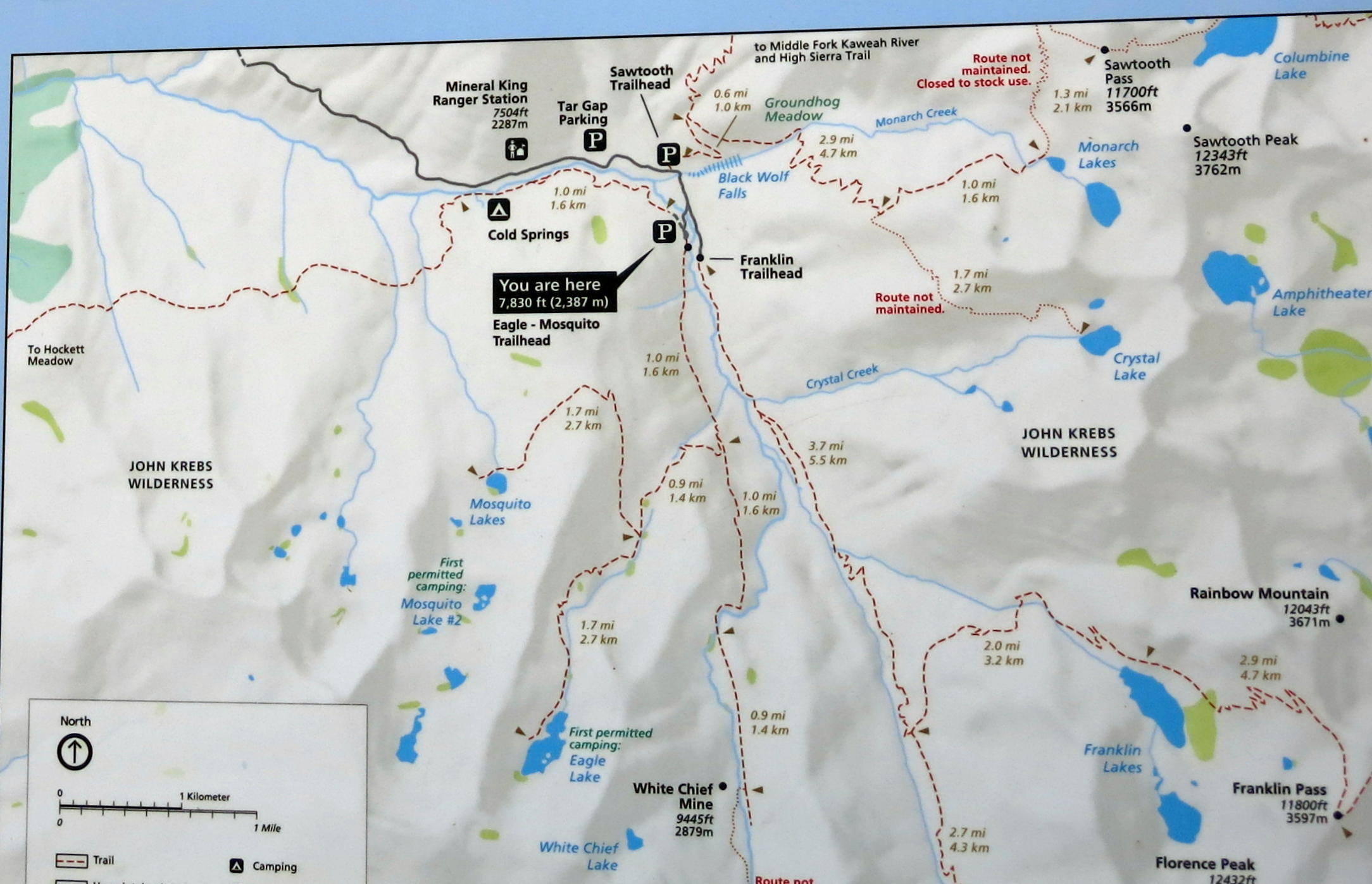
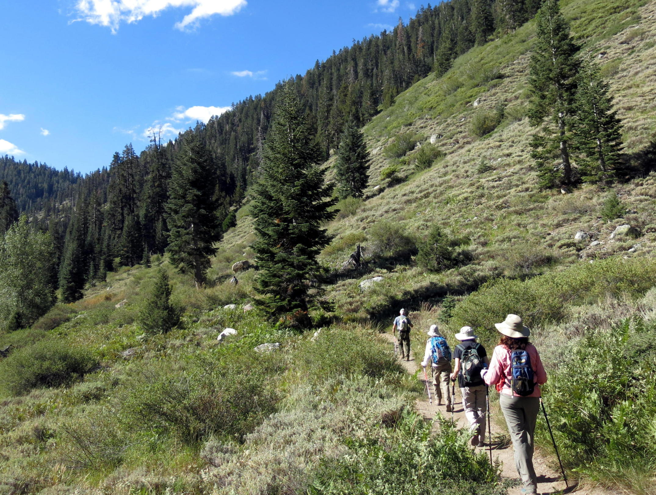
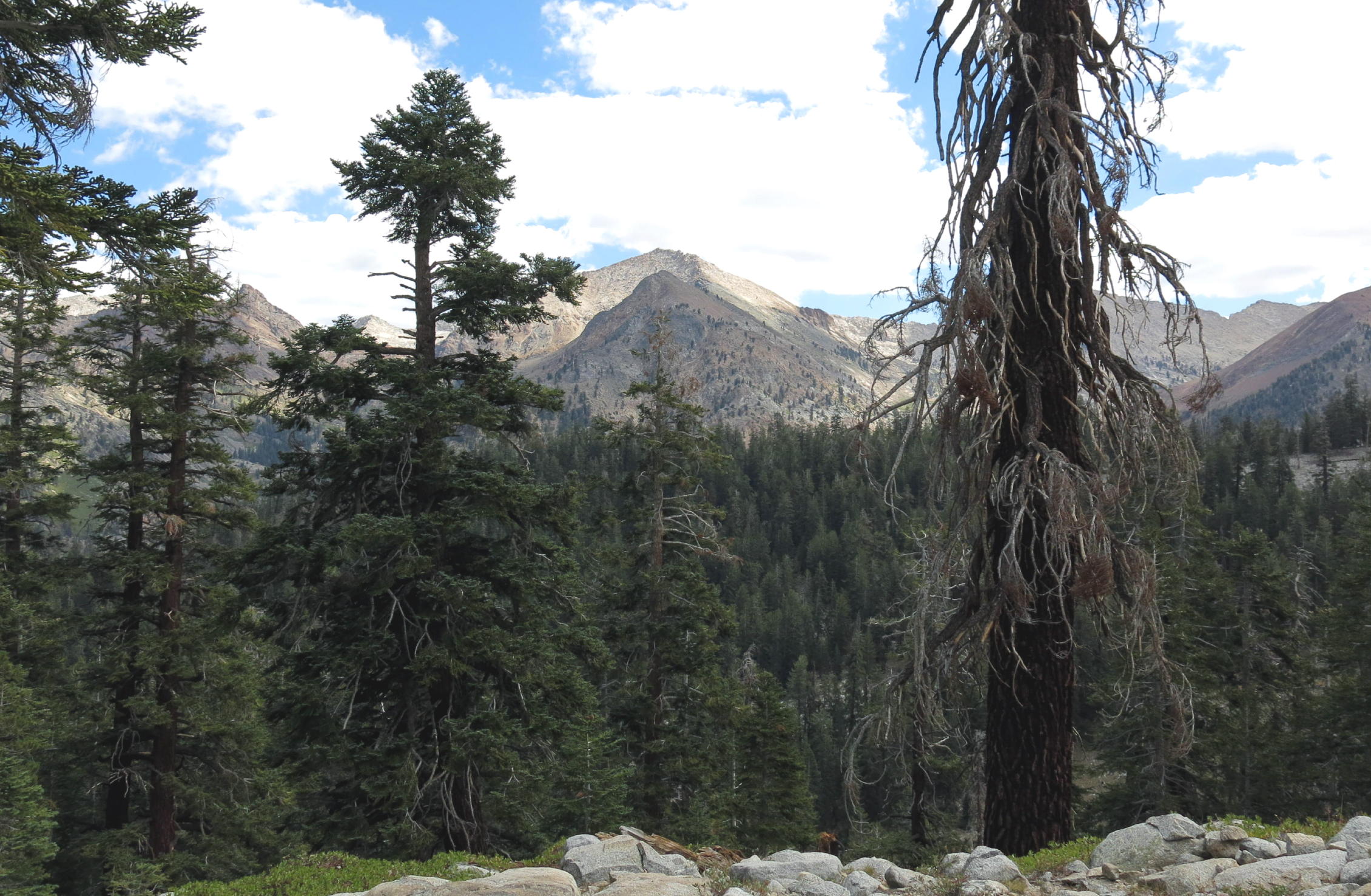
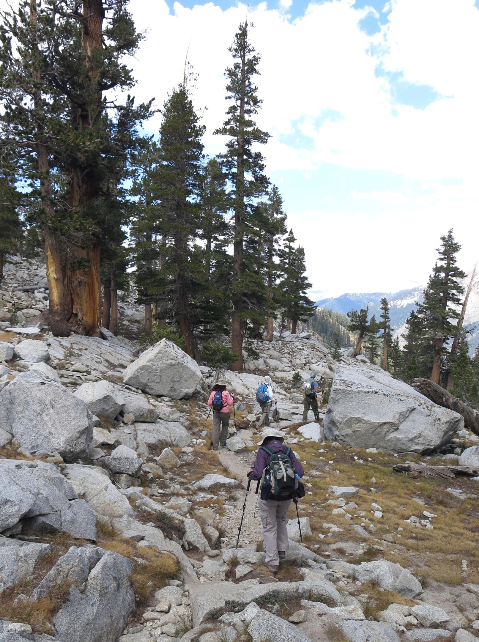
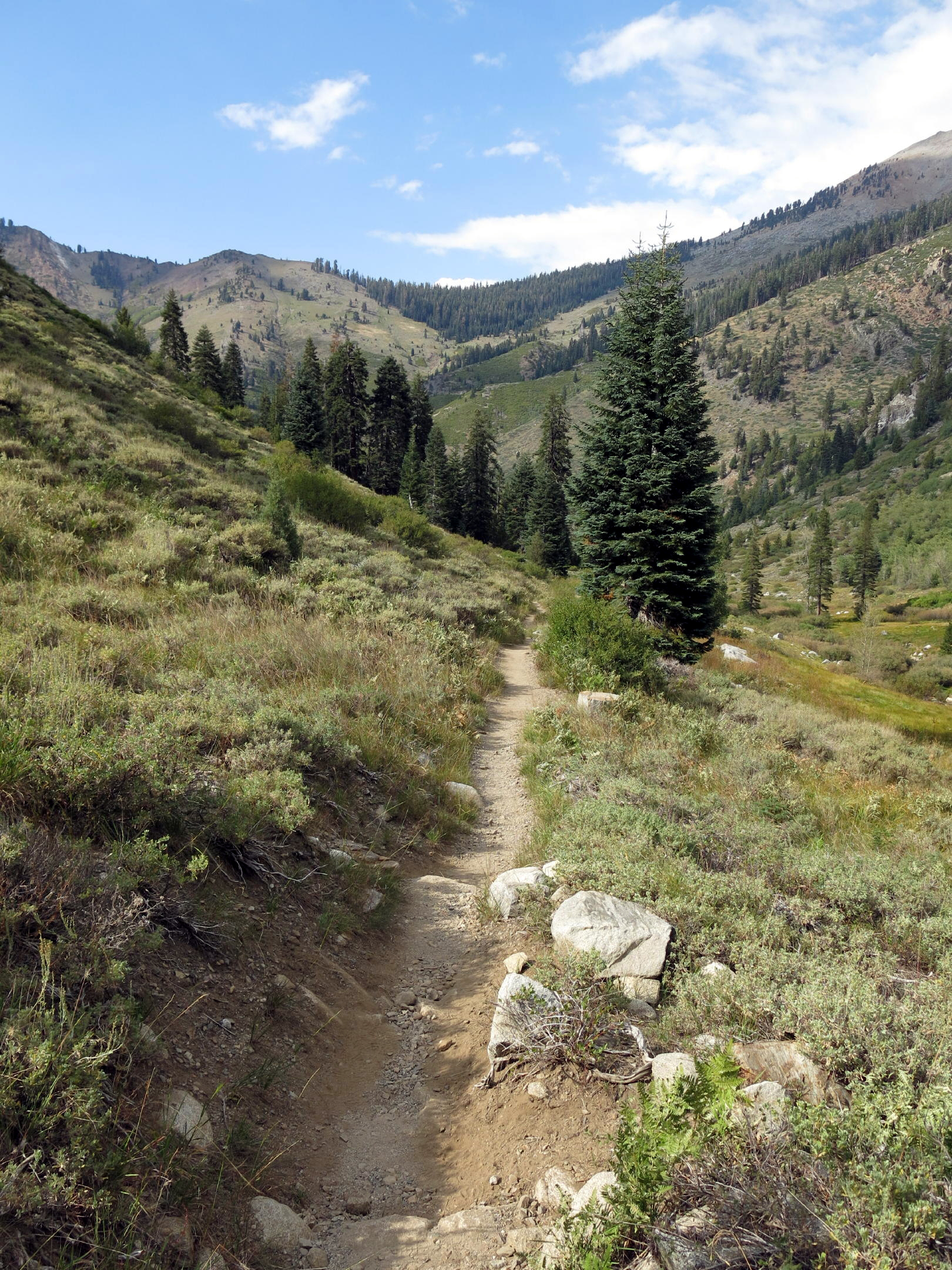
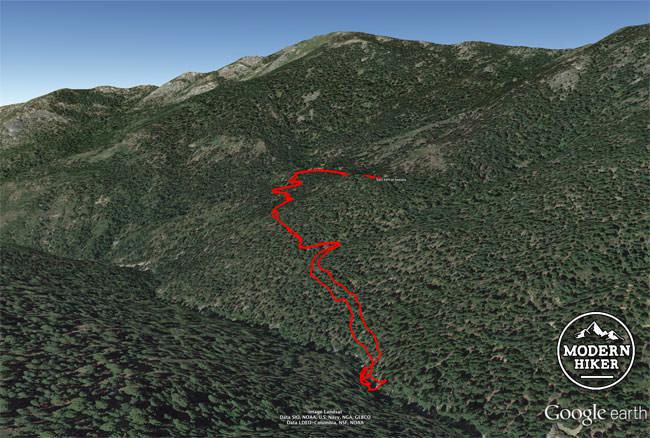
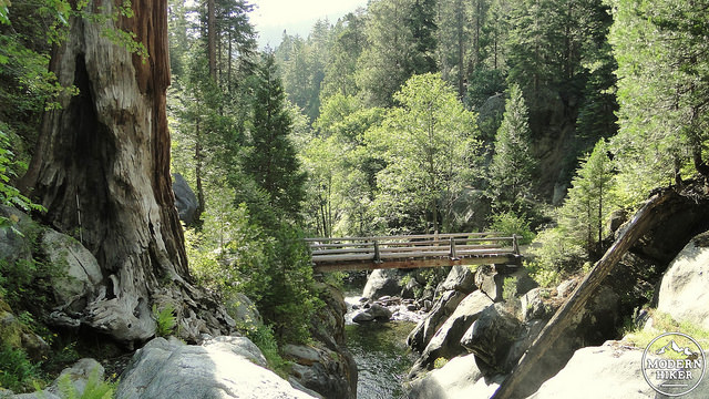
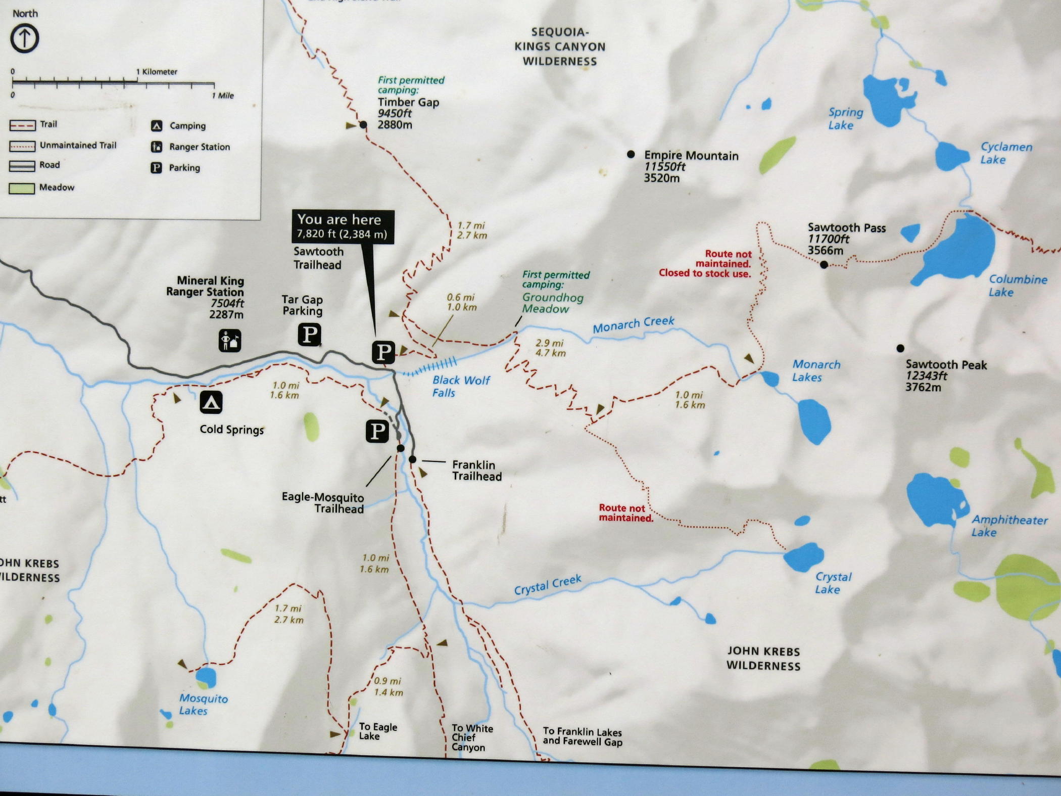
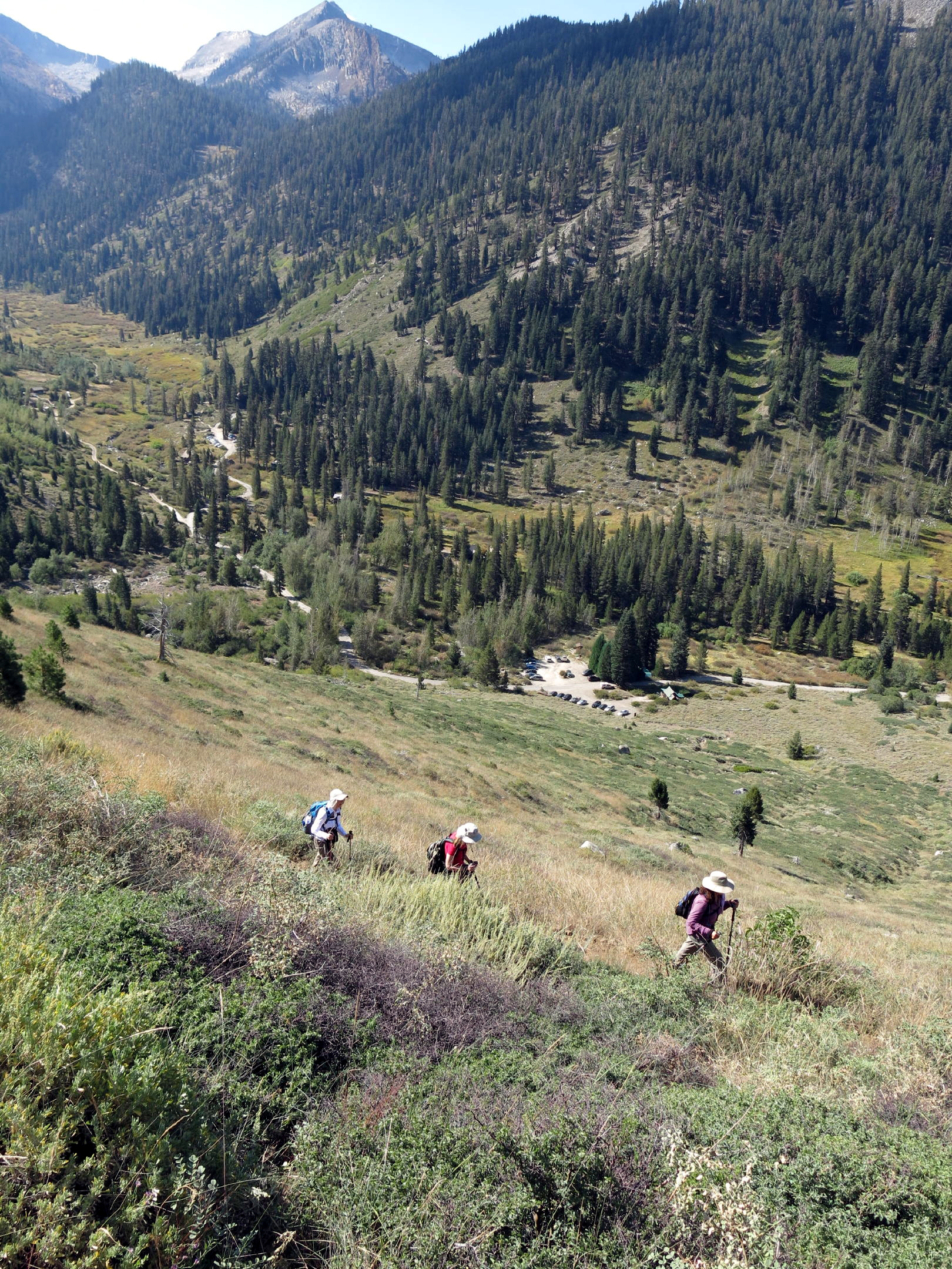
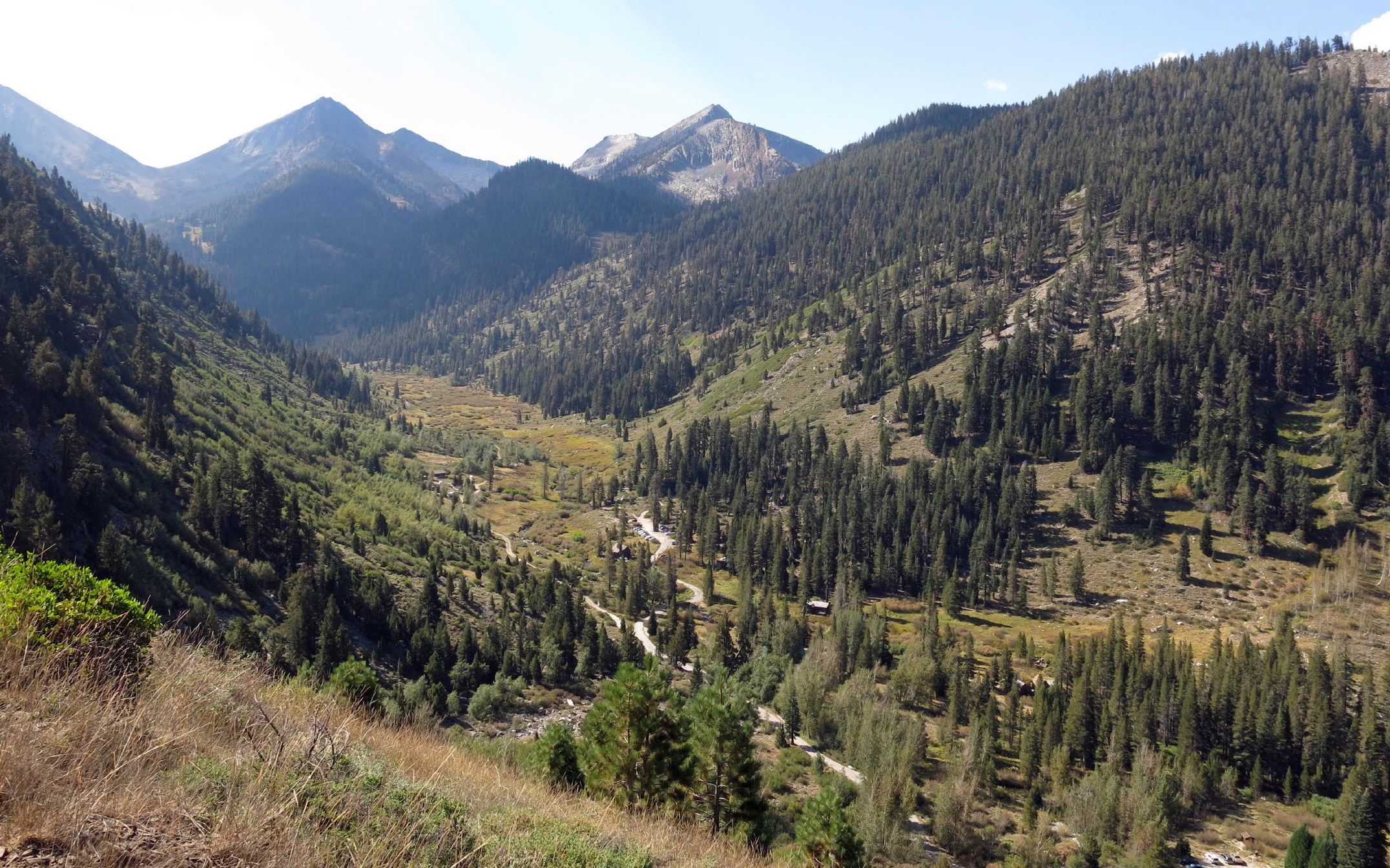
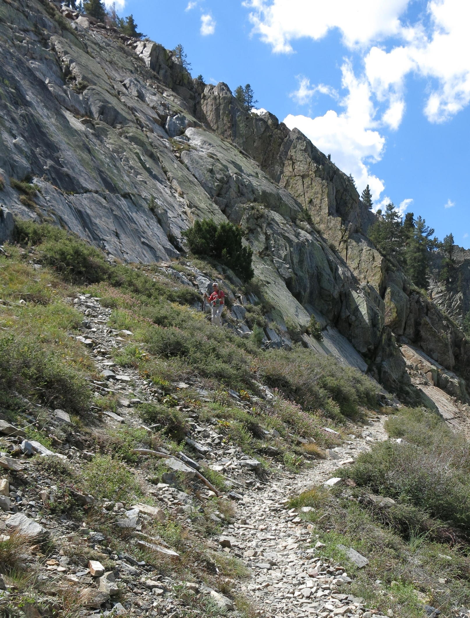
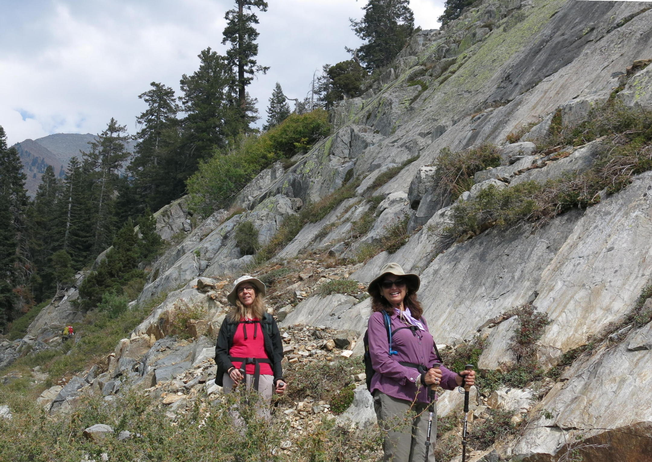
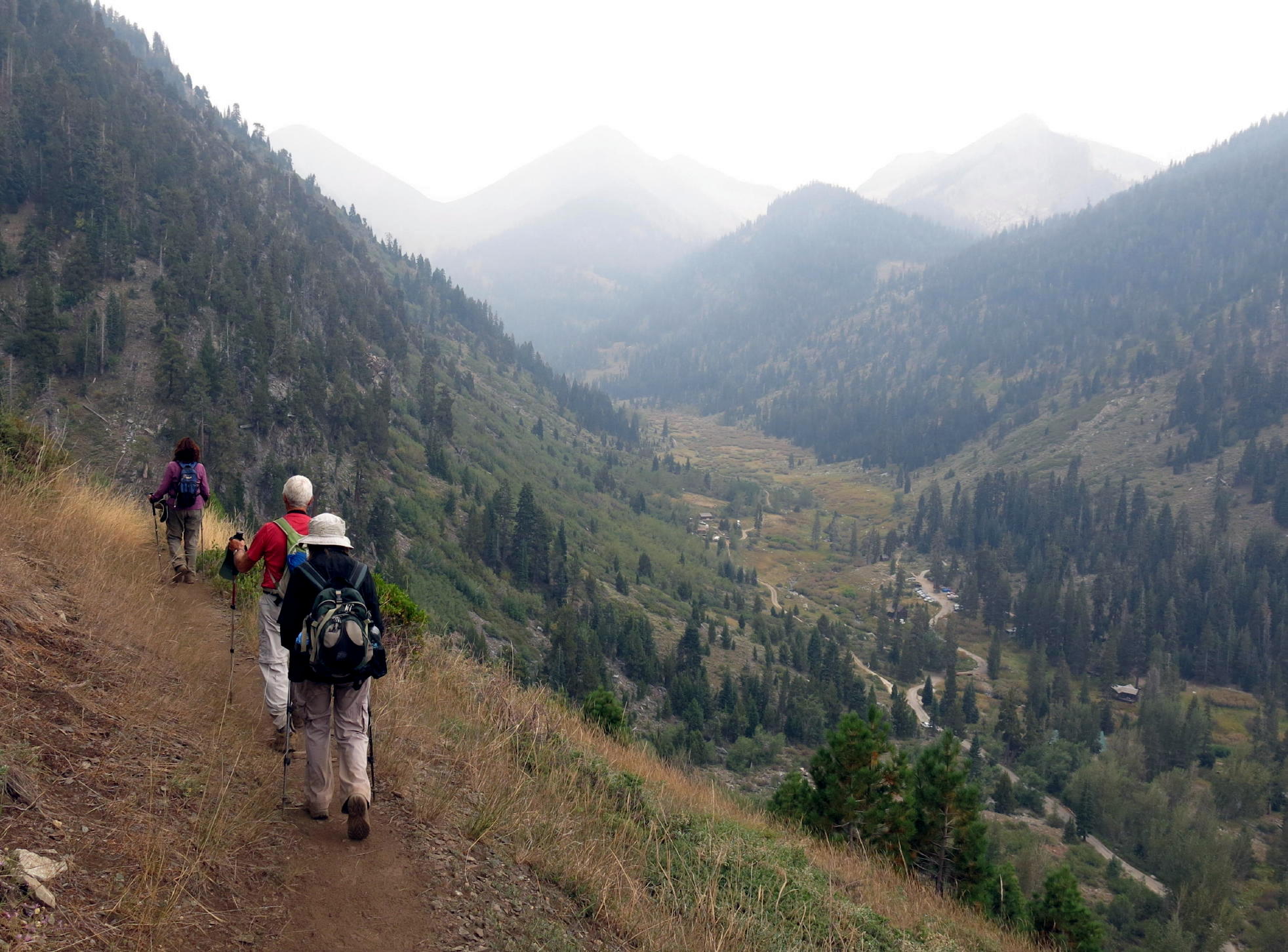
Our first walk was to Mosquito Lake (see map)
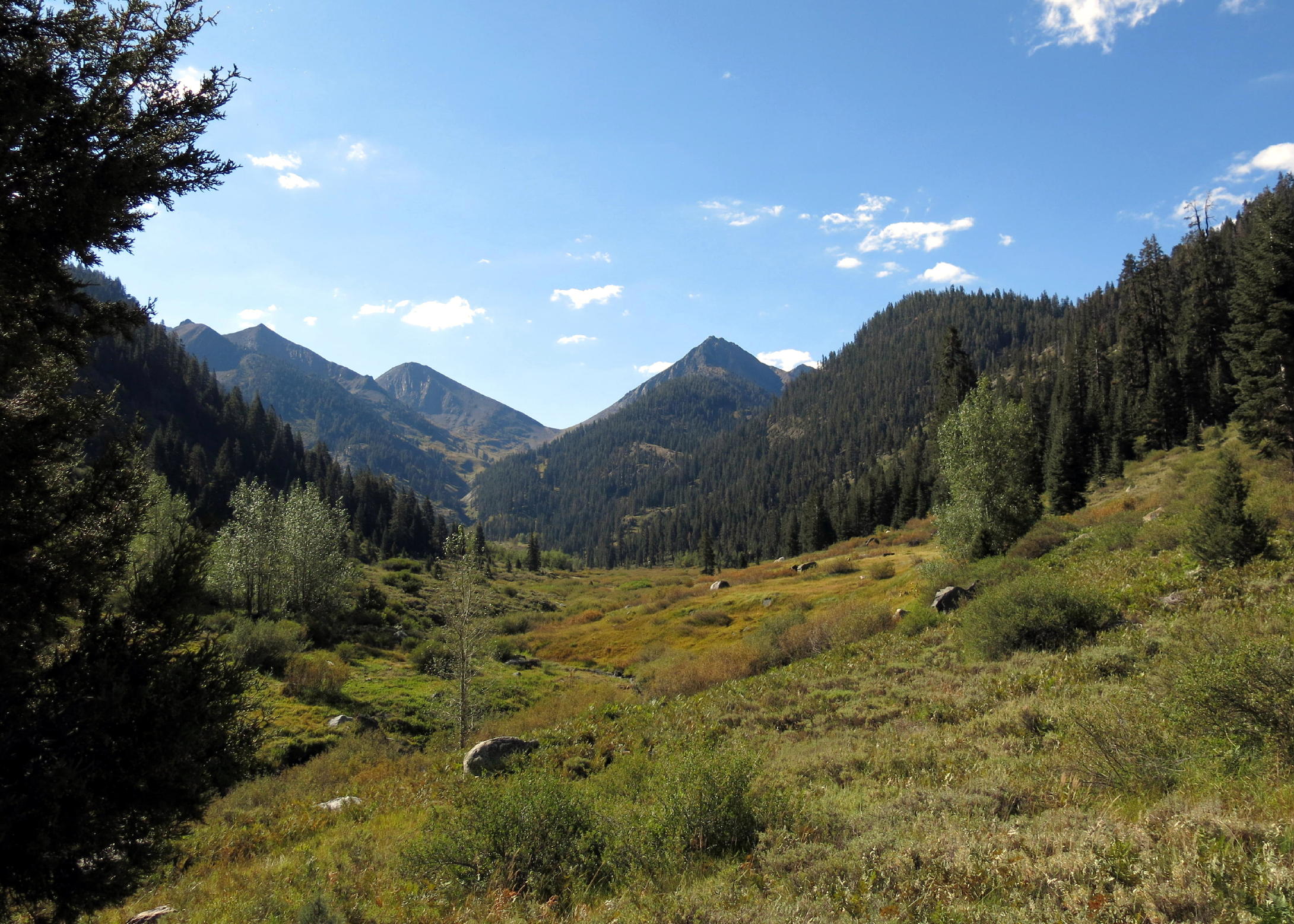 |
Franklin Creek valley |
 |
 |
heading out | |
 |
 |
small creek | |||
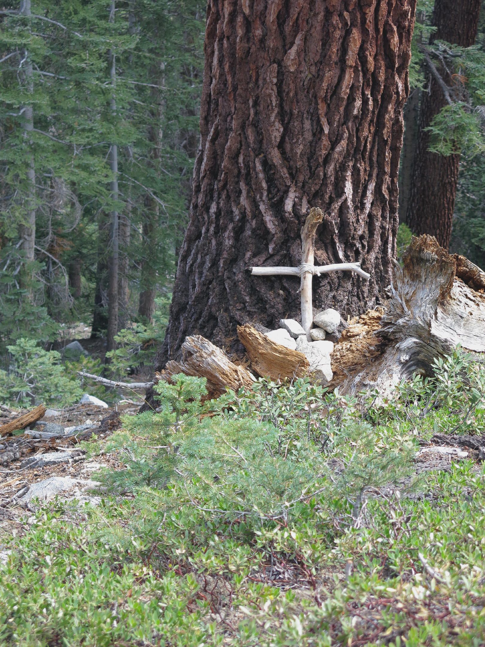 |
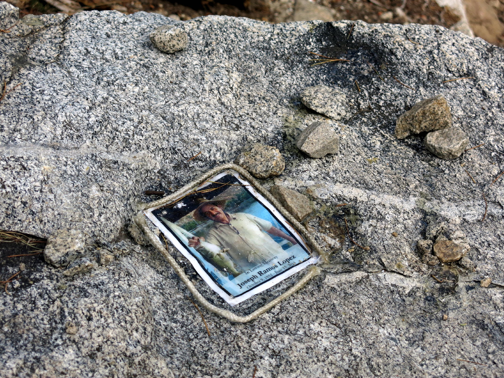
unexpected memorial |
 |
 |
||
 |
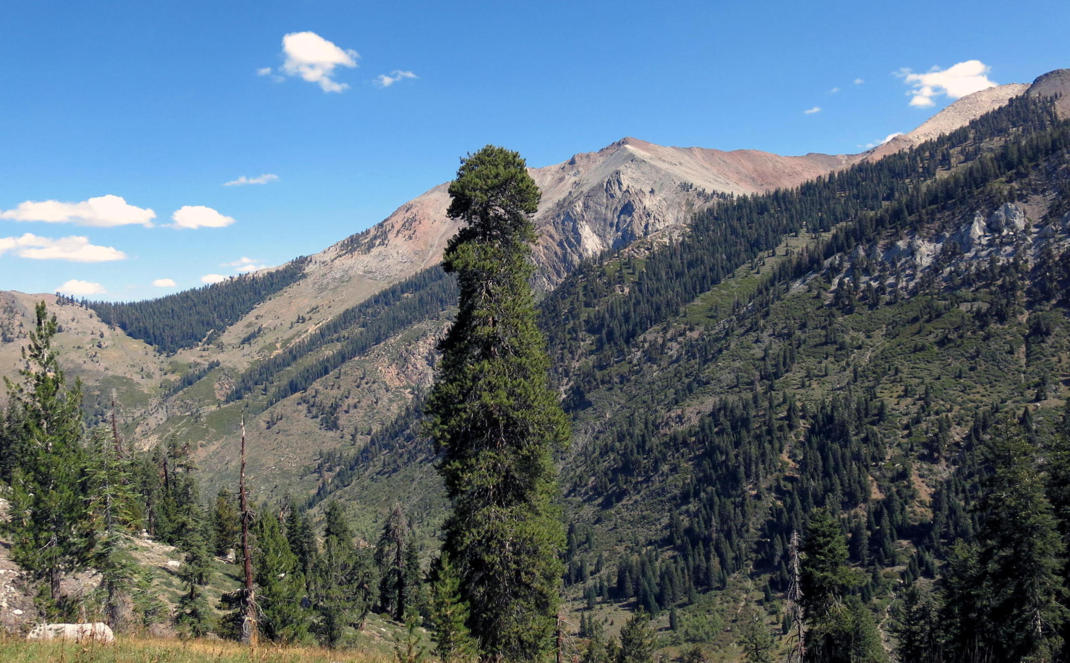
Sawtooth Peak |
 |
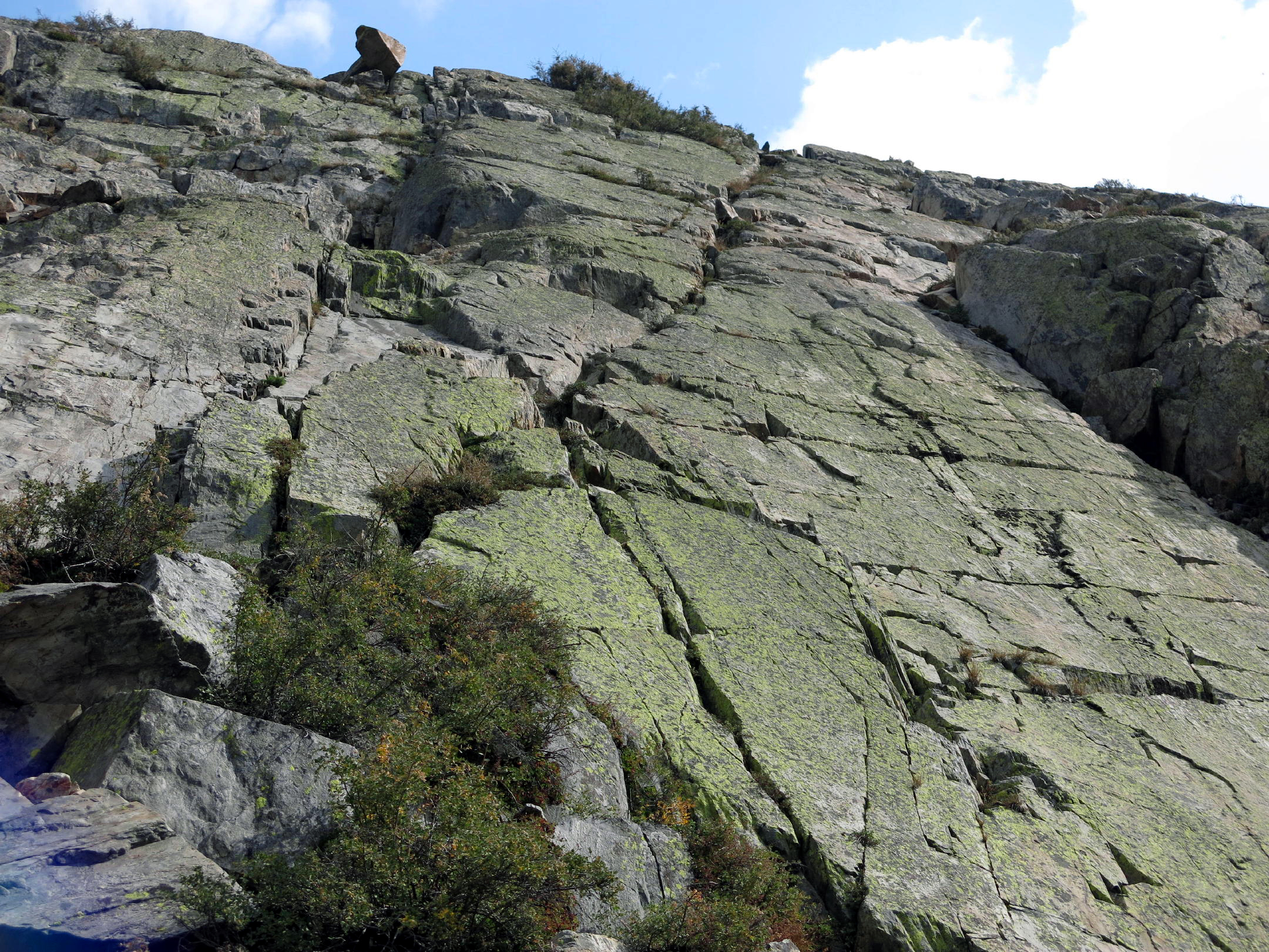
in the rock garden |
 |
|
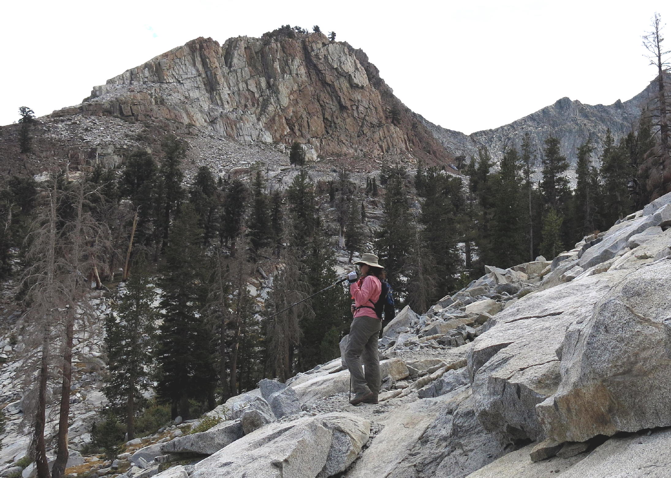 |
Linda, see note |
 |
penstemon & field rush |
 |
Mosquito Lake |
 |
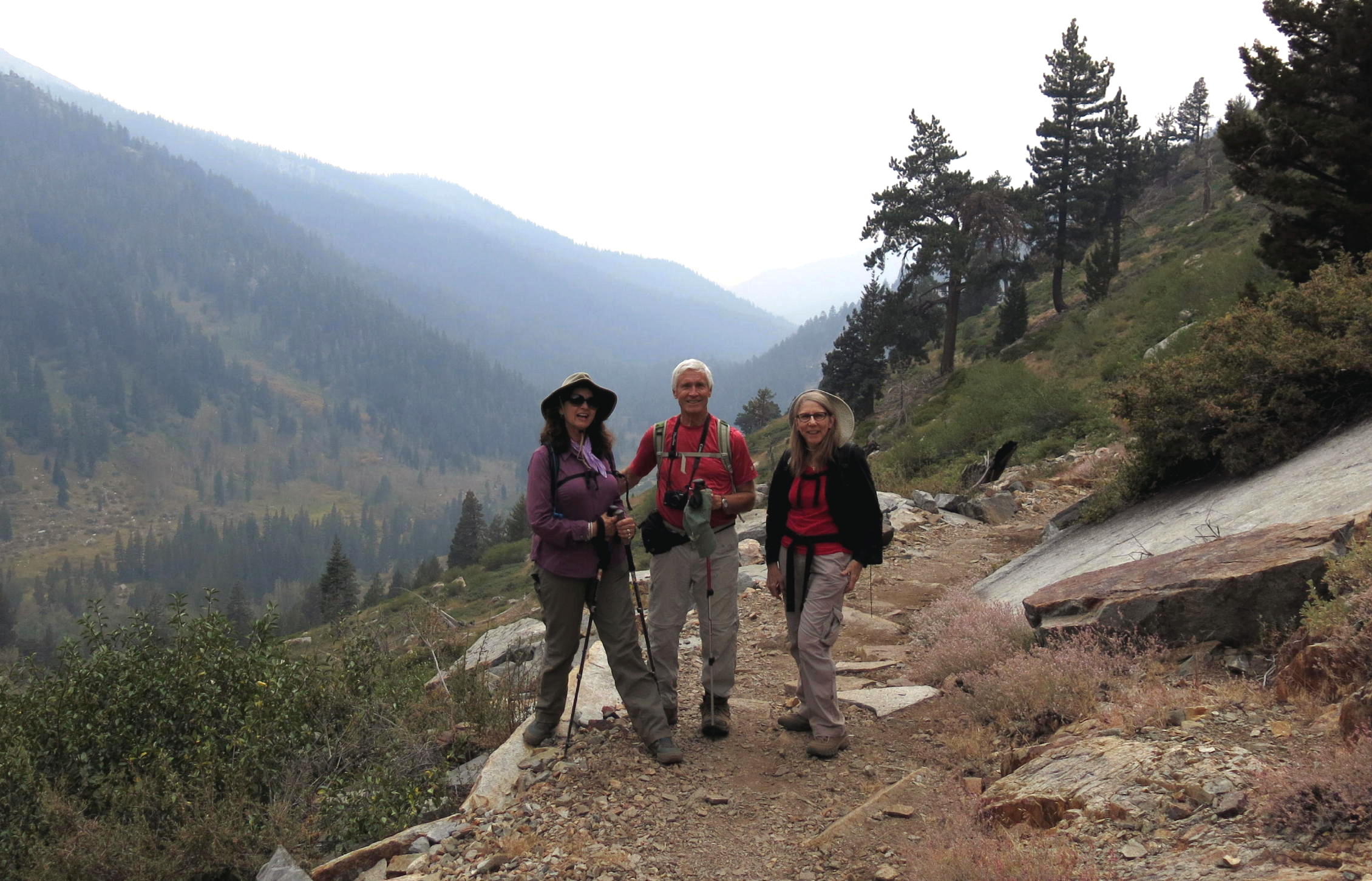
a photo of R&L |
 |
heading back down |
 |
|
 |
 |
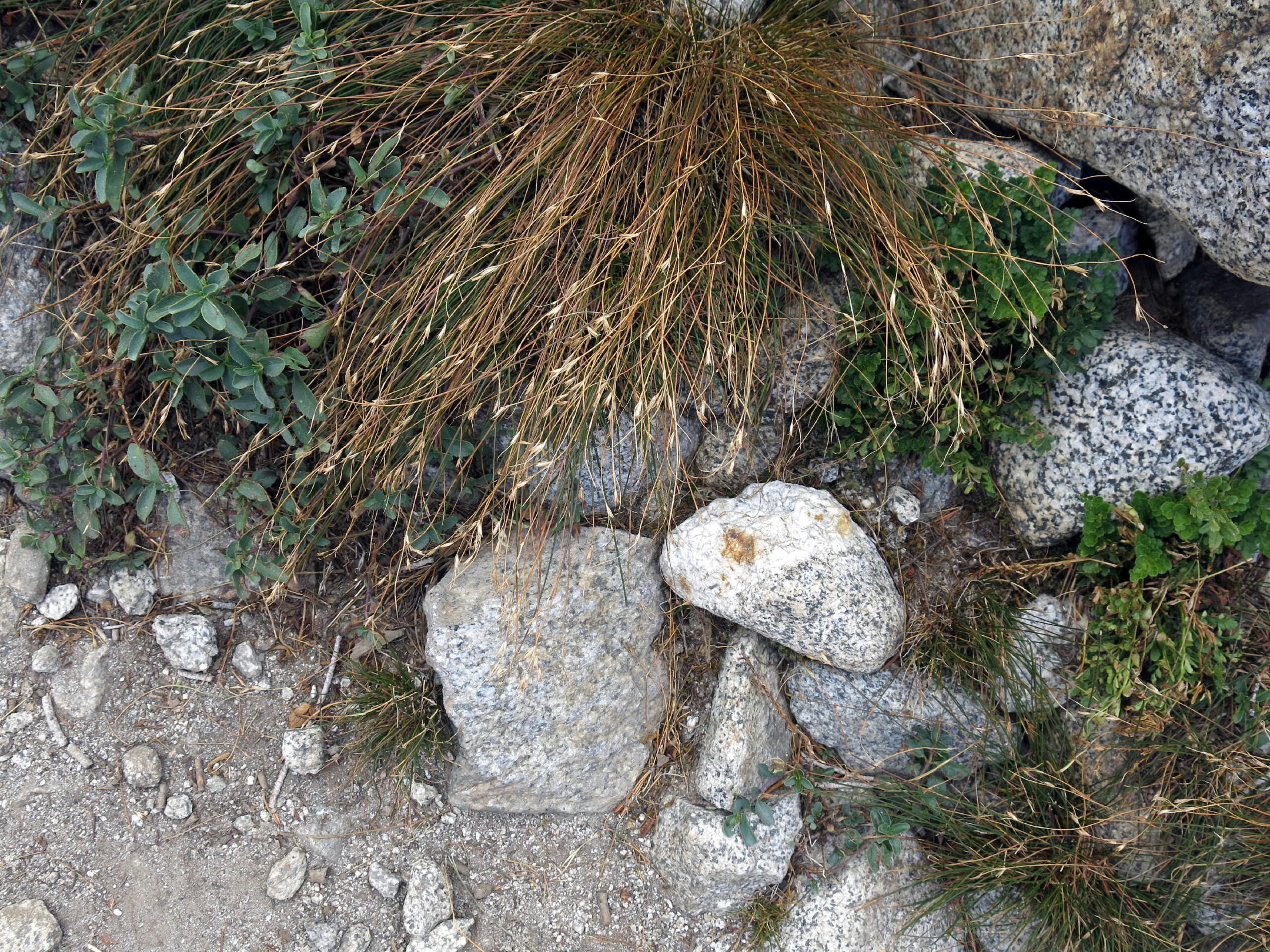
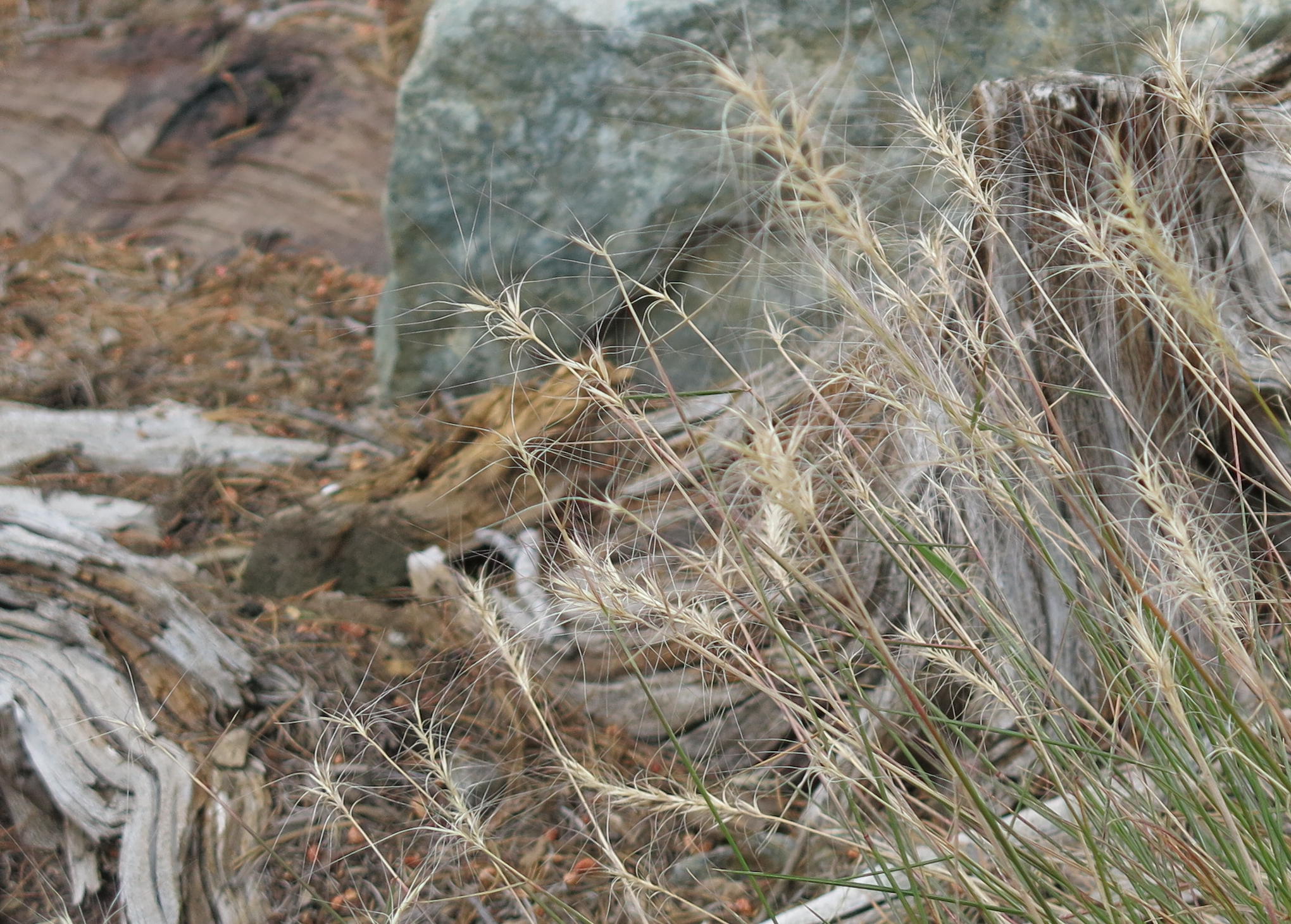
lake grass |
 |
||
 |
on the trail |
 |
almost back |
 |
note - I saw Linda stop & converse with the landscape, or maybe mountain fairies, using a walking stick to 'make a point'.
AllTrails says this walk is 6.6 miles round trip with 2,027 f. of gain. The rock garden segments really appealed to me.
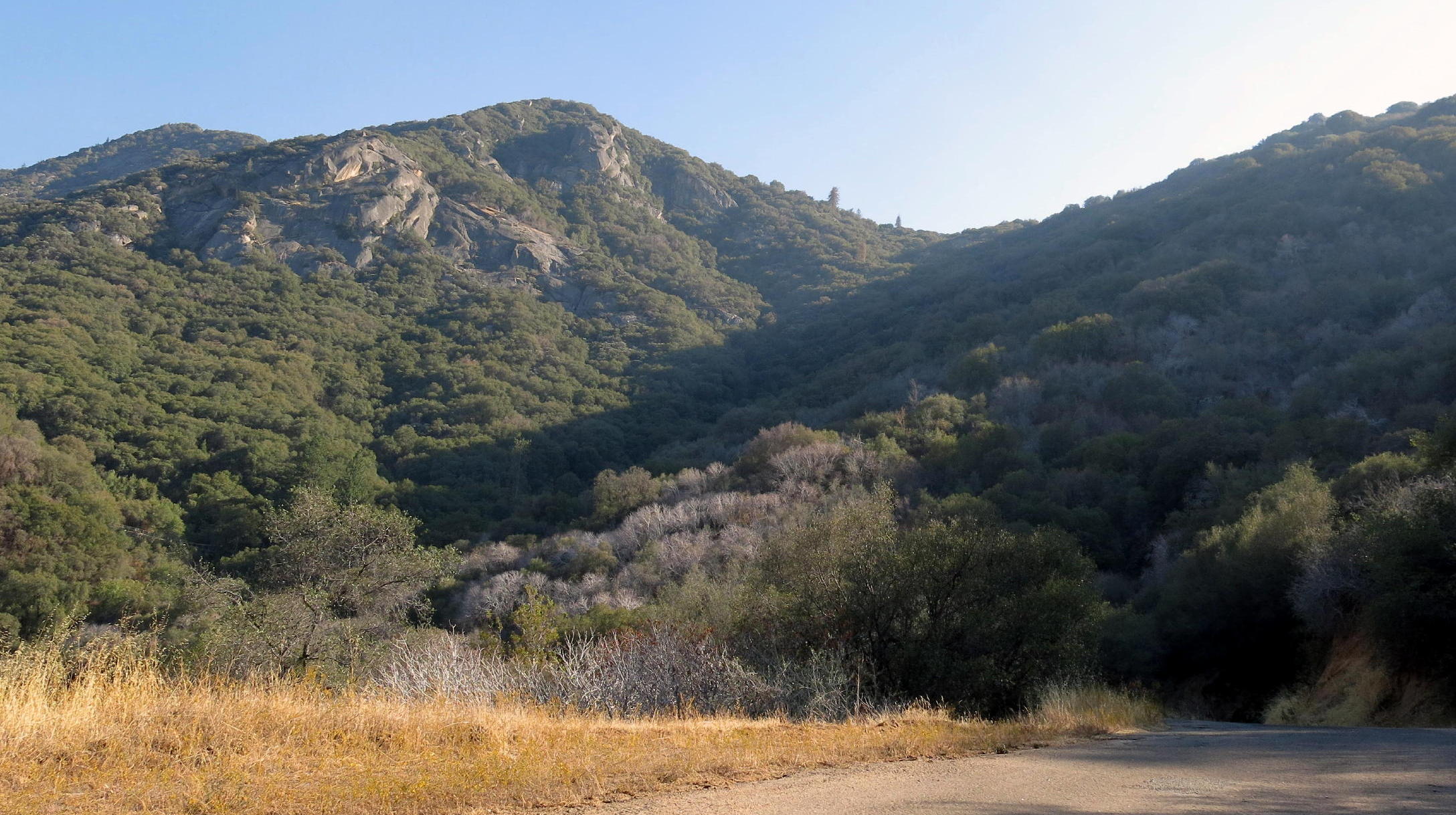
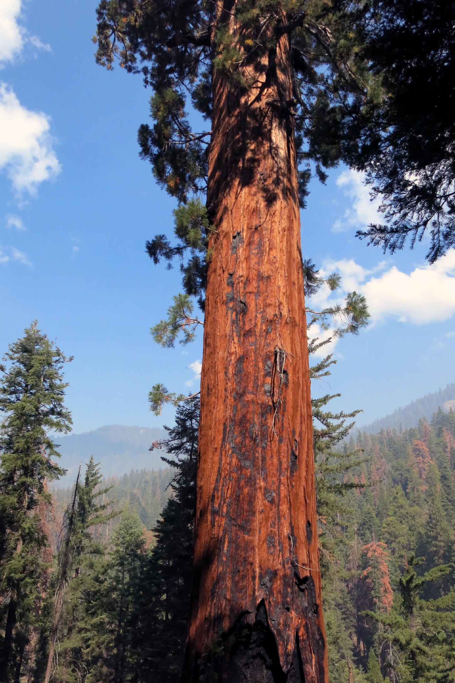
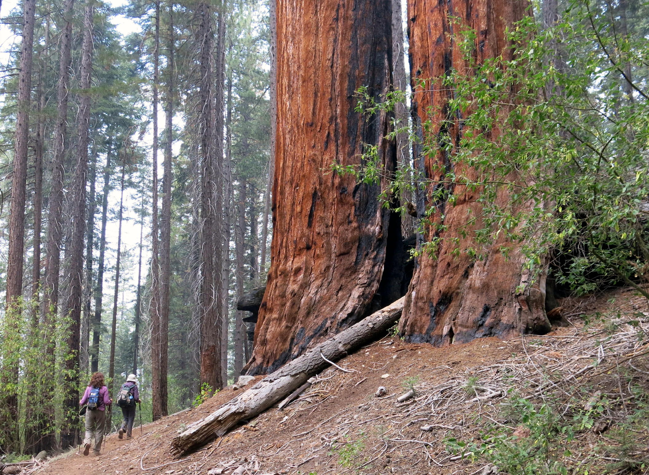
On our second day we walked on the Atwell Hockett to the East Fork of the Kaweah River trail, a short walk through a small redwood grove and back. I left the camera at the cabin so these photos are from Rich.
 |
the walk |
 |
 |
||
 |
 |
||||
 |
lunch spot |
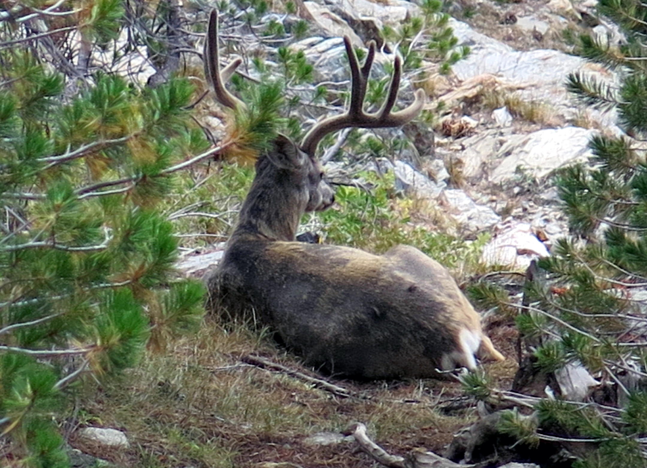 |
this deer was resting beside the trail |
The round trip walk was 3.2 miles w/ 672 ft. of gain, a nice recovery day.
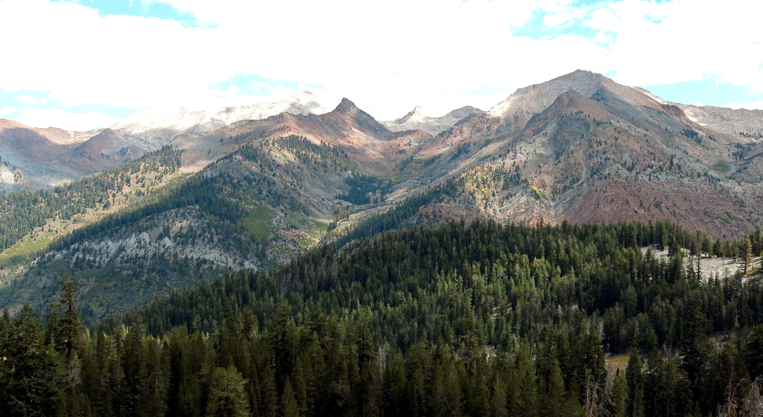
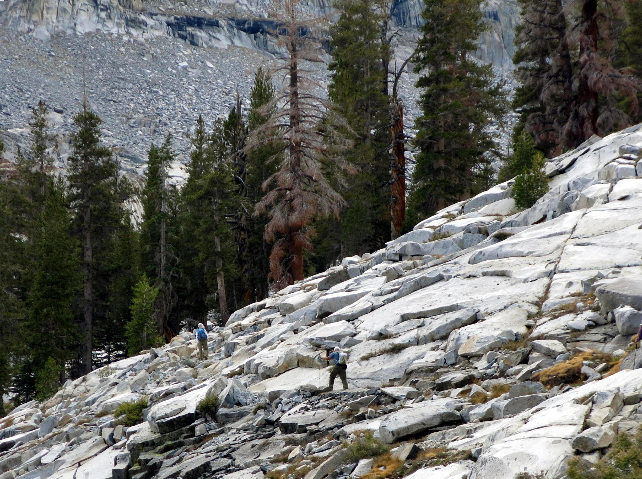
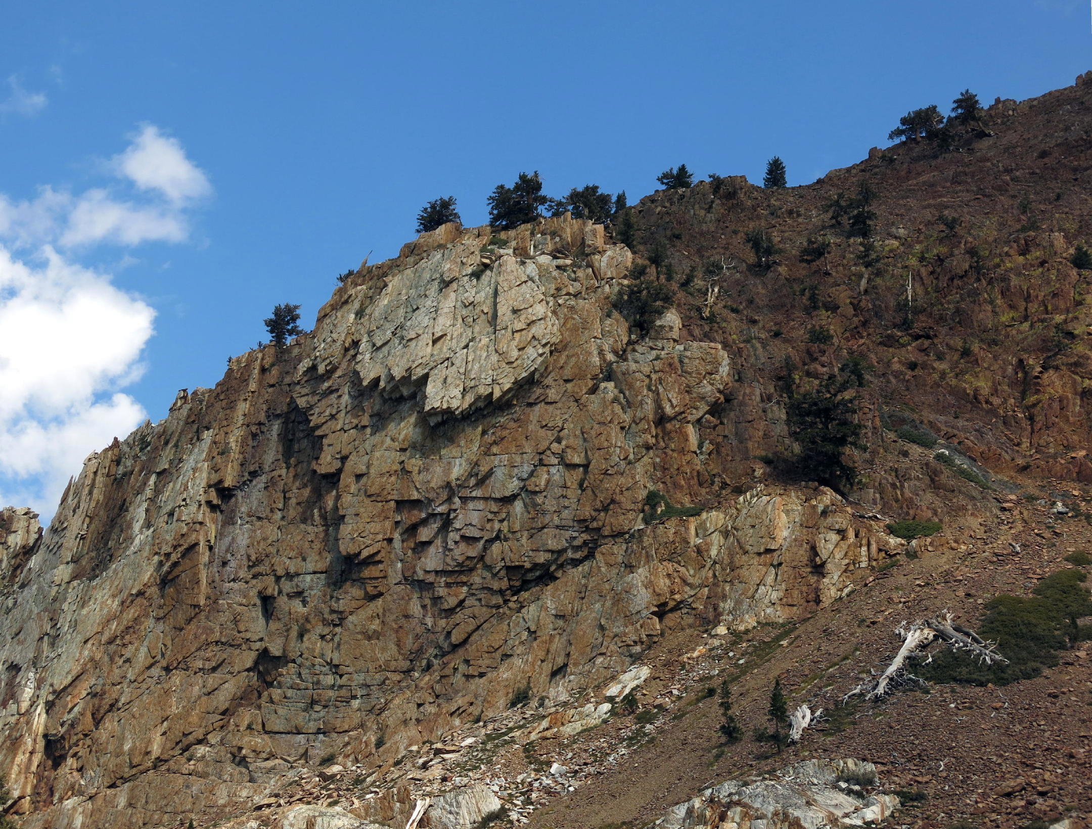
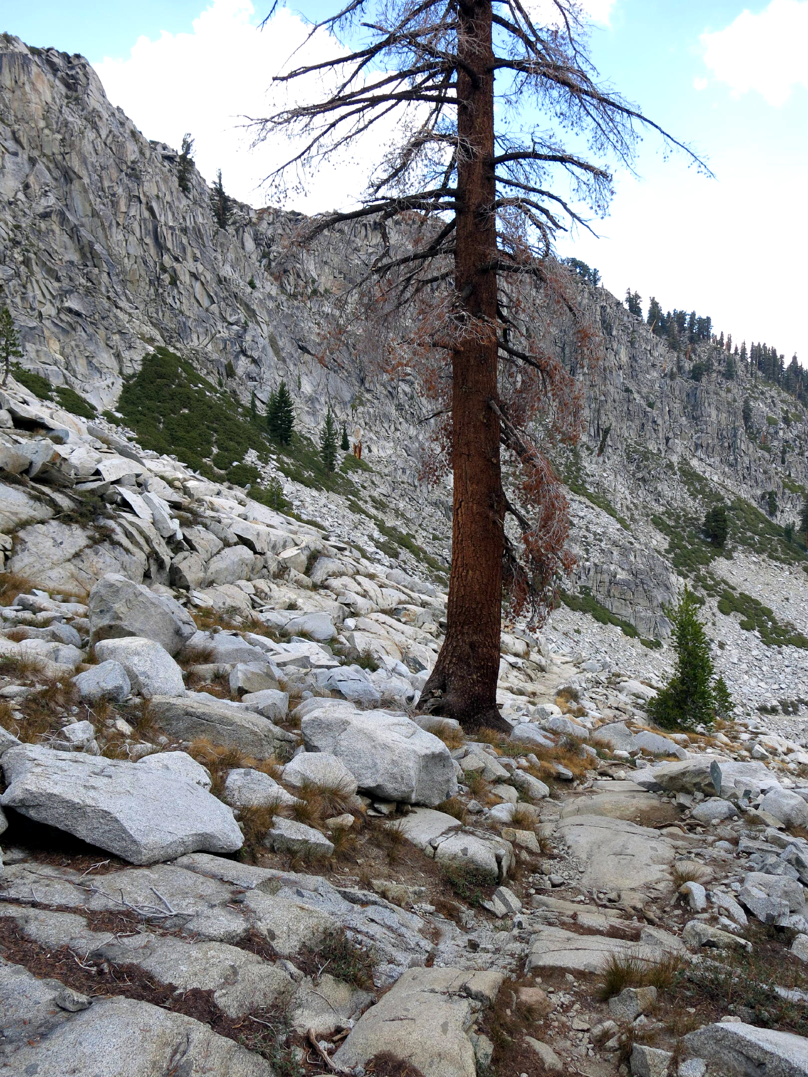
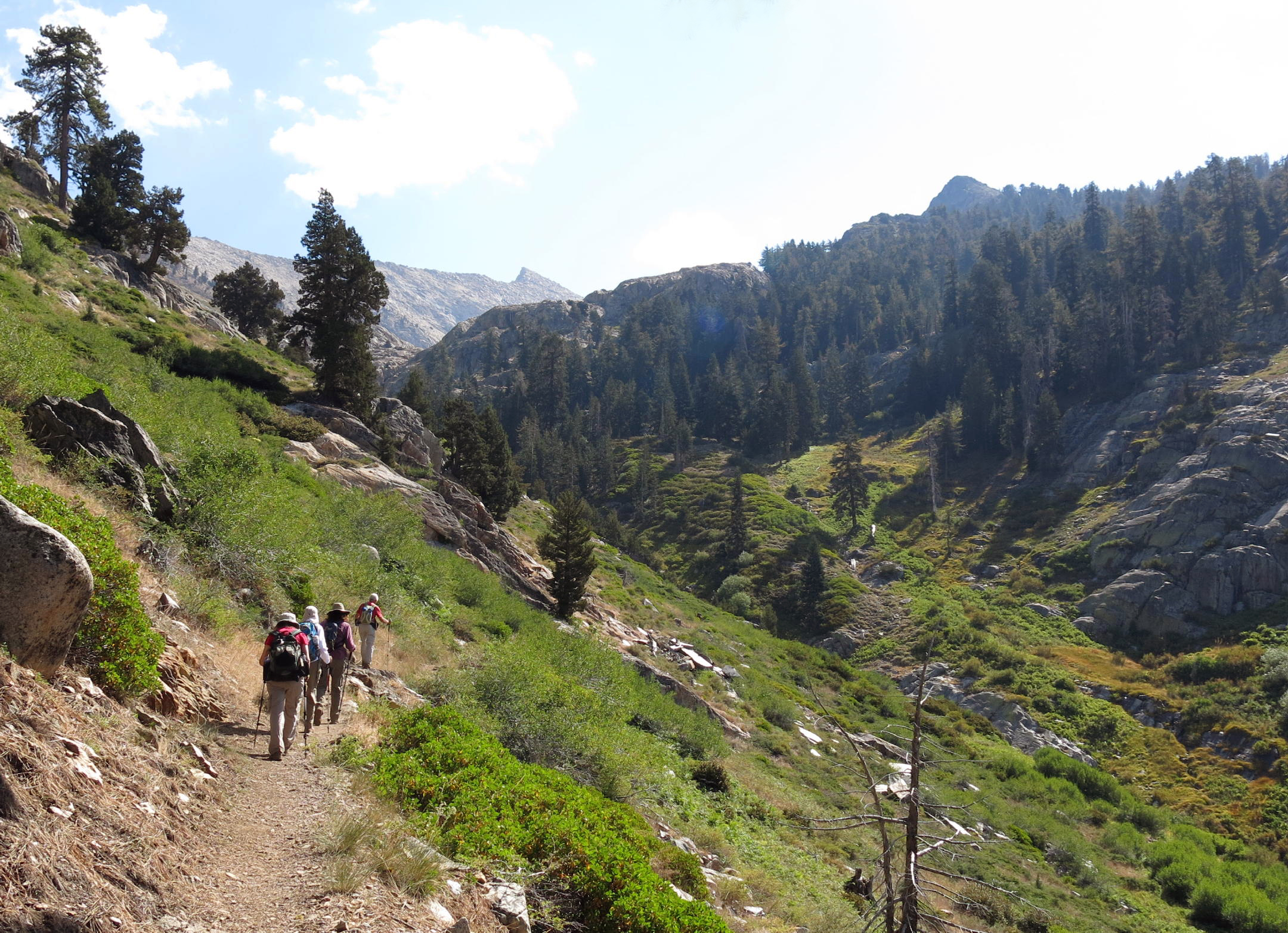
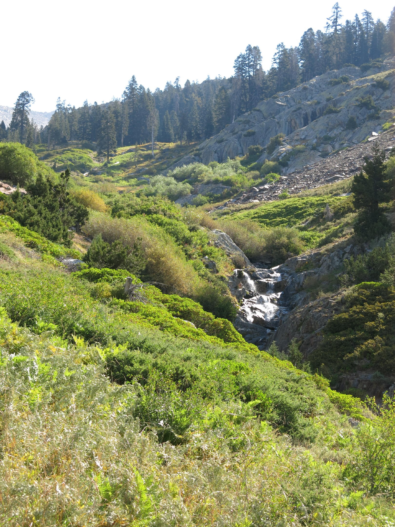
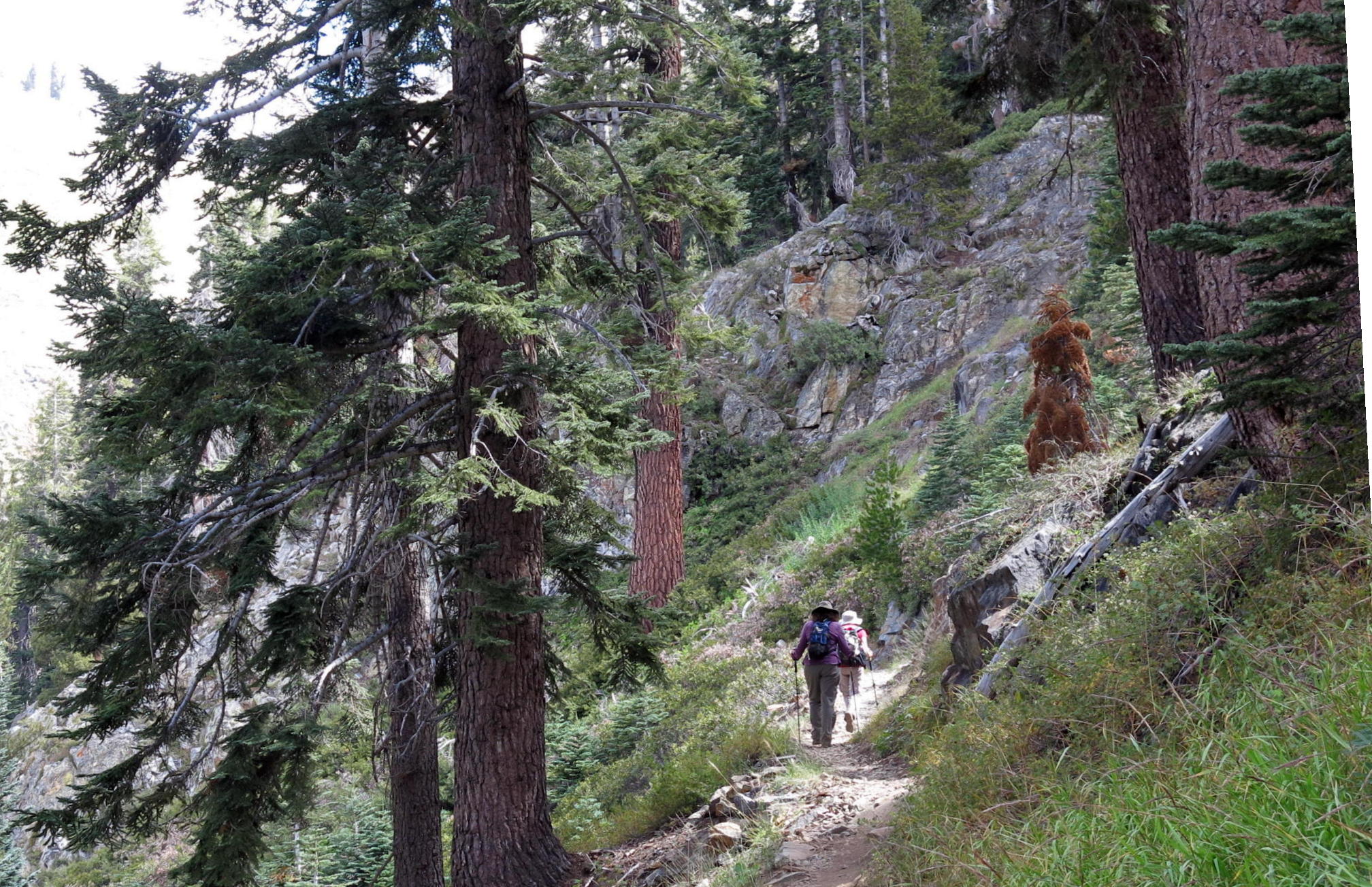
Hike three was to Monarch Lakes, near Sawtooth Peak.
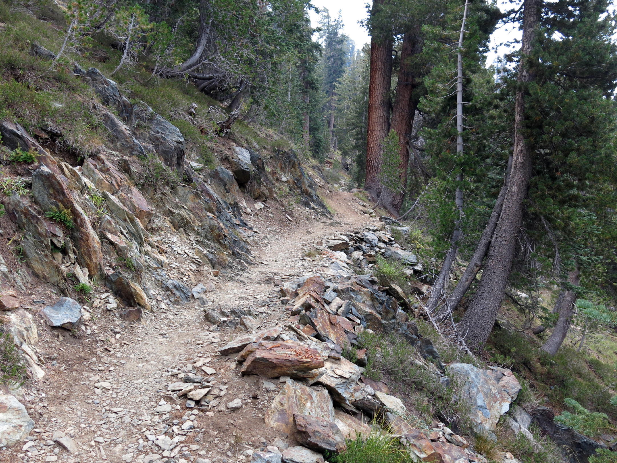
Once past the bear and across the creek, this was a beautiful trail, with many long switchbacks and a steady 5 or 6% grade, showing the skill of the original trail builders. Then we emerged into open terrain.
 |
|
 |
steep start | ||
 |
where the old mines were |
 |
 |
||
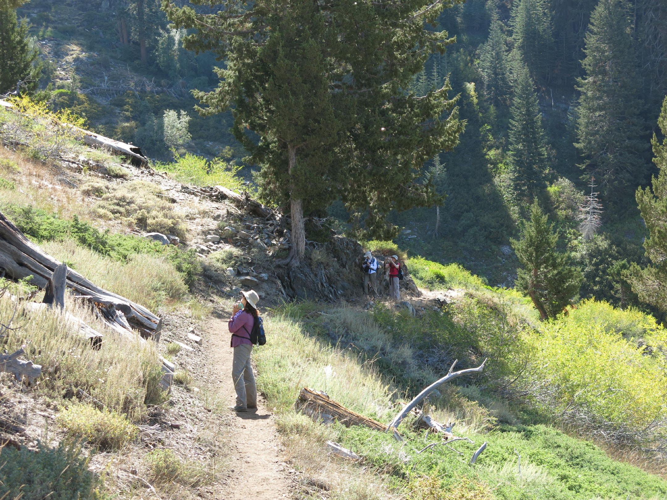 |
where we saw a black bear |
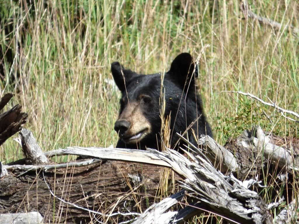 |
cautious about us |
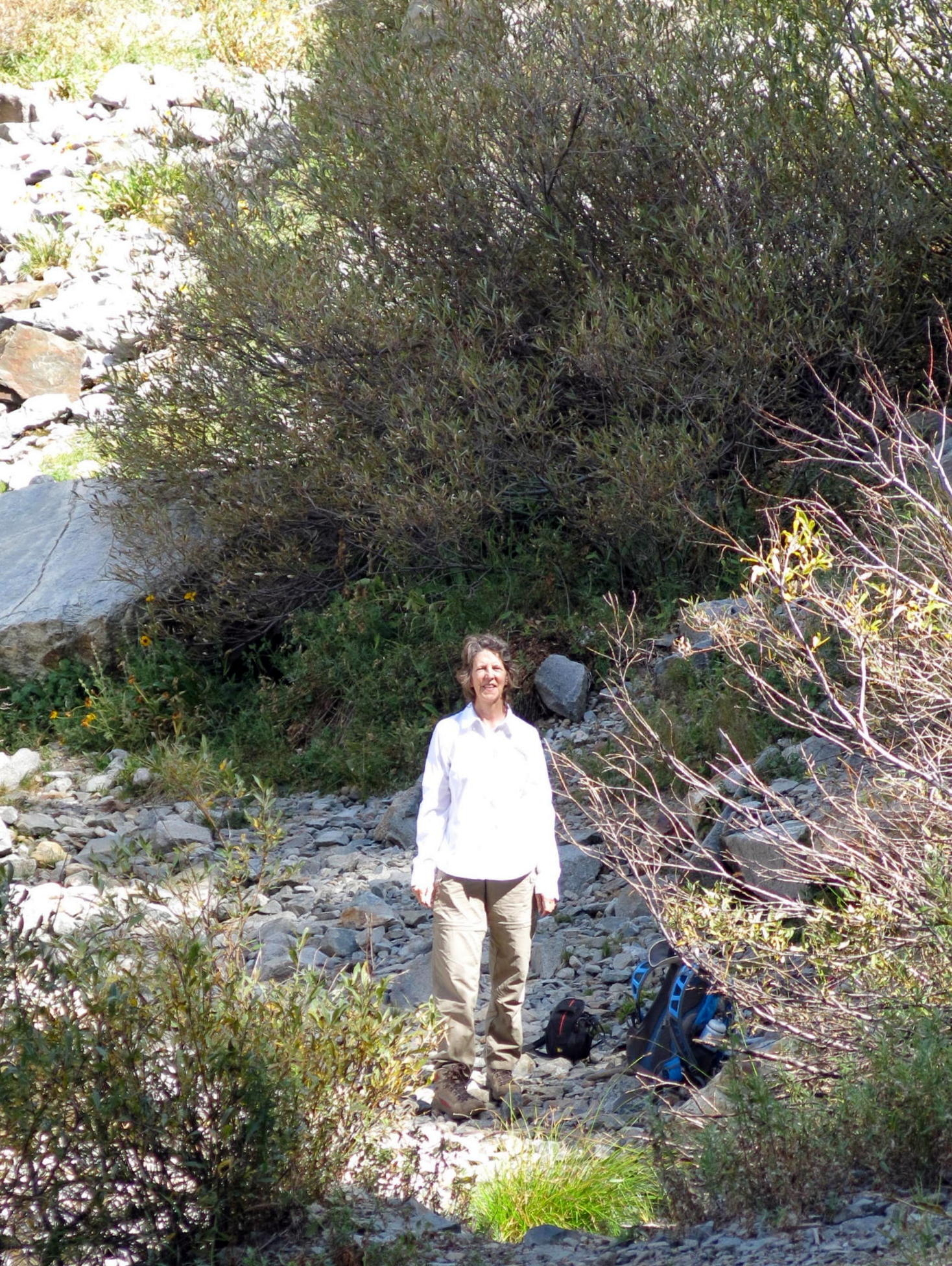 |
Bonnie at creek crossing |
 |
 |
onward & upward |
 |
||
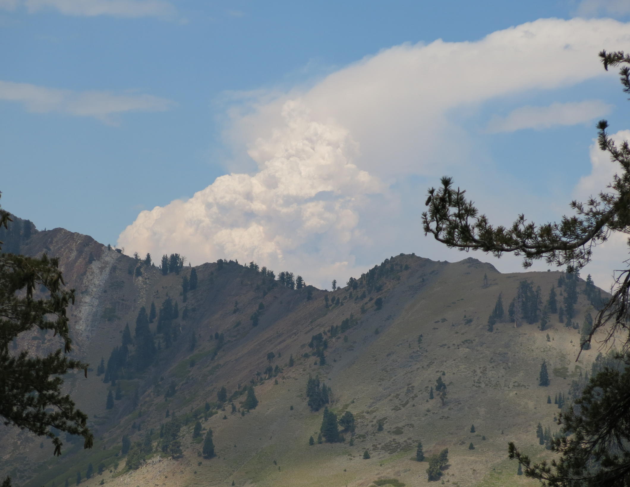 |
huge fire to the north of us |
 |
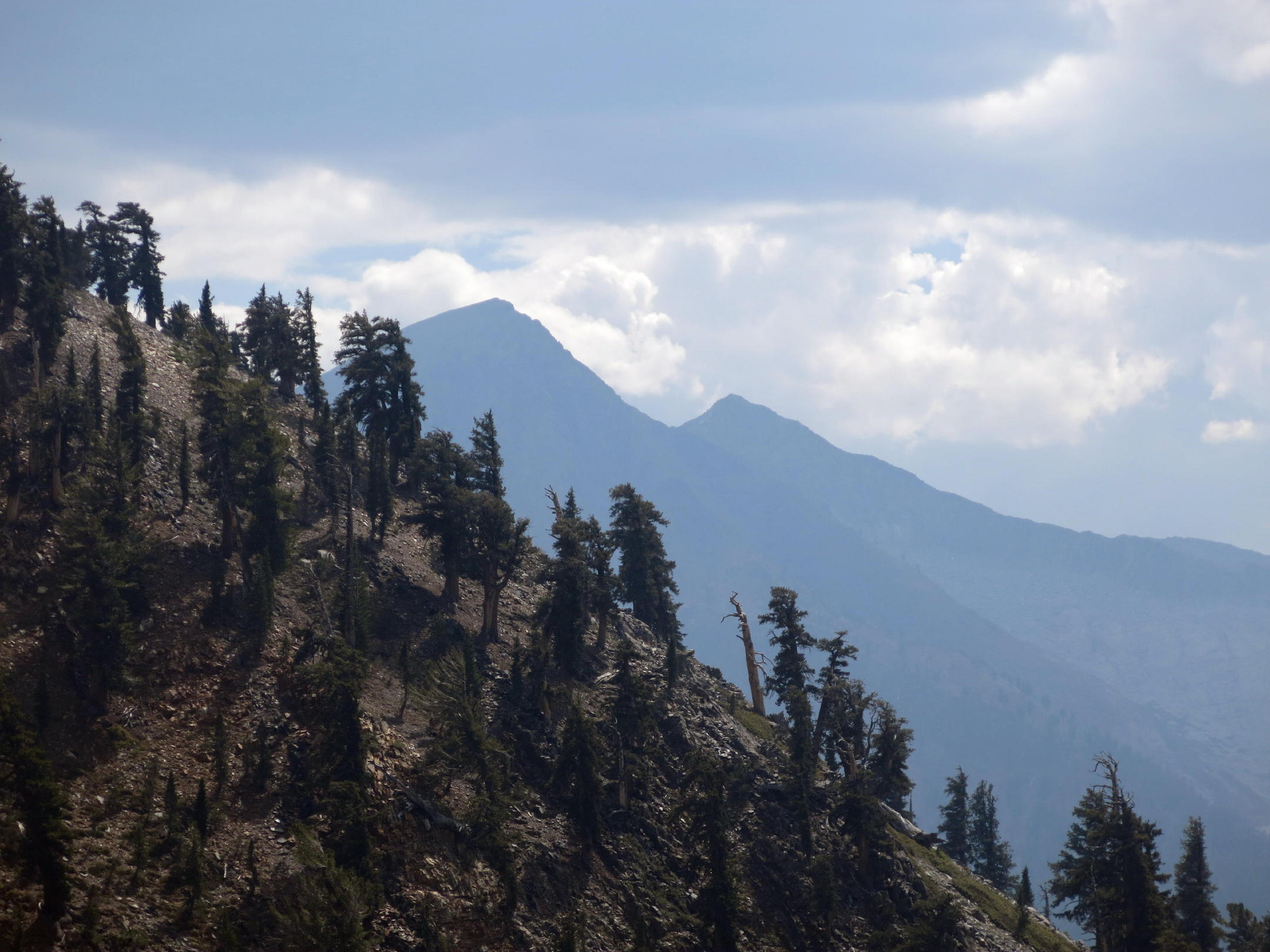
Mineral King |
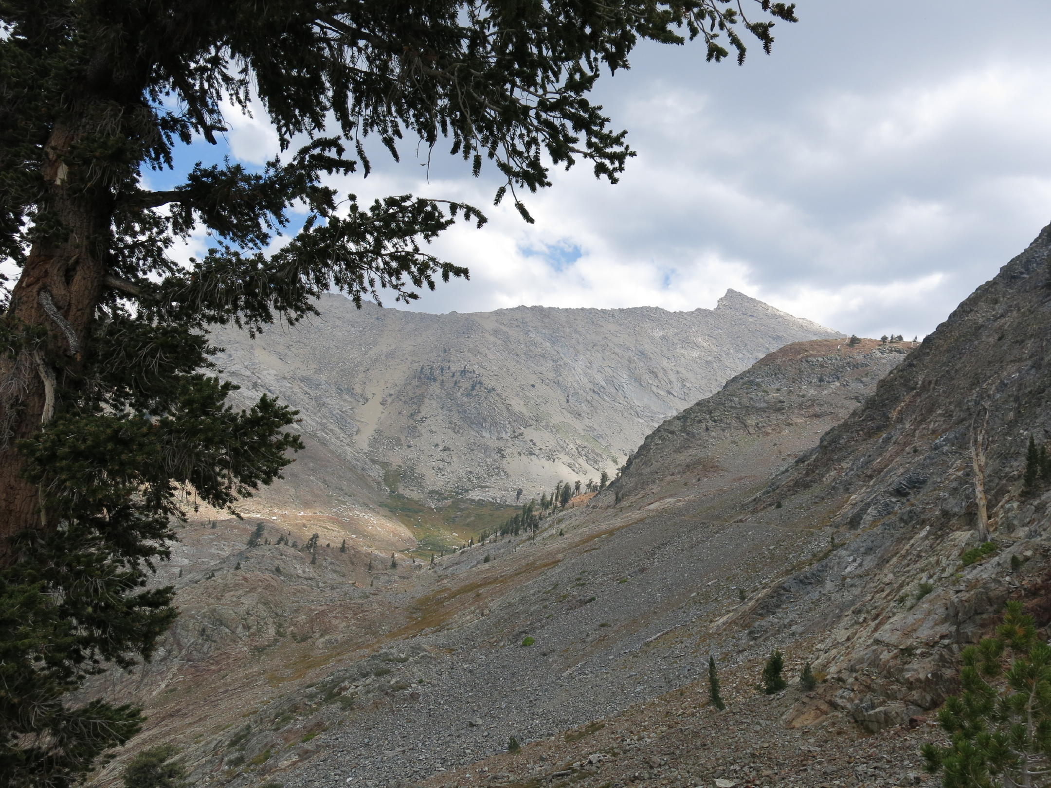 |
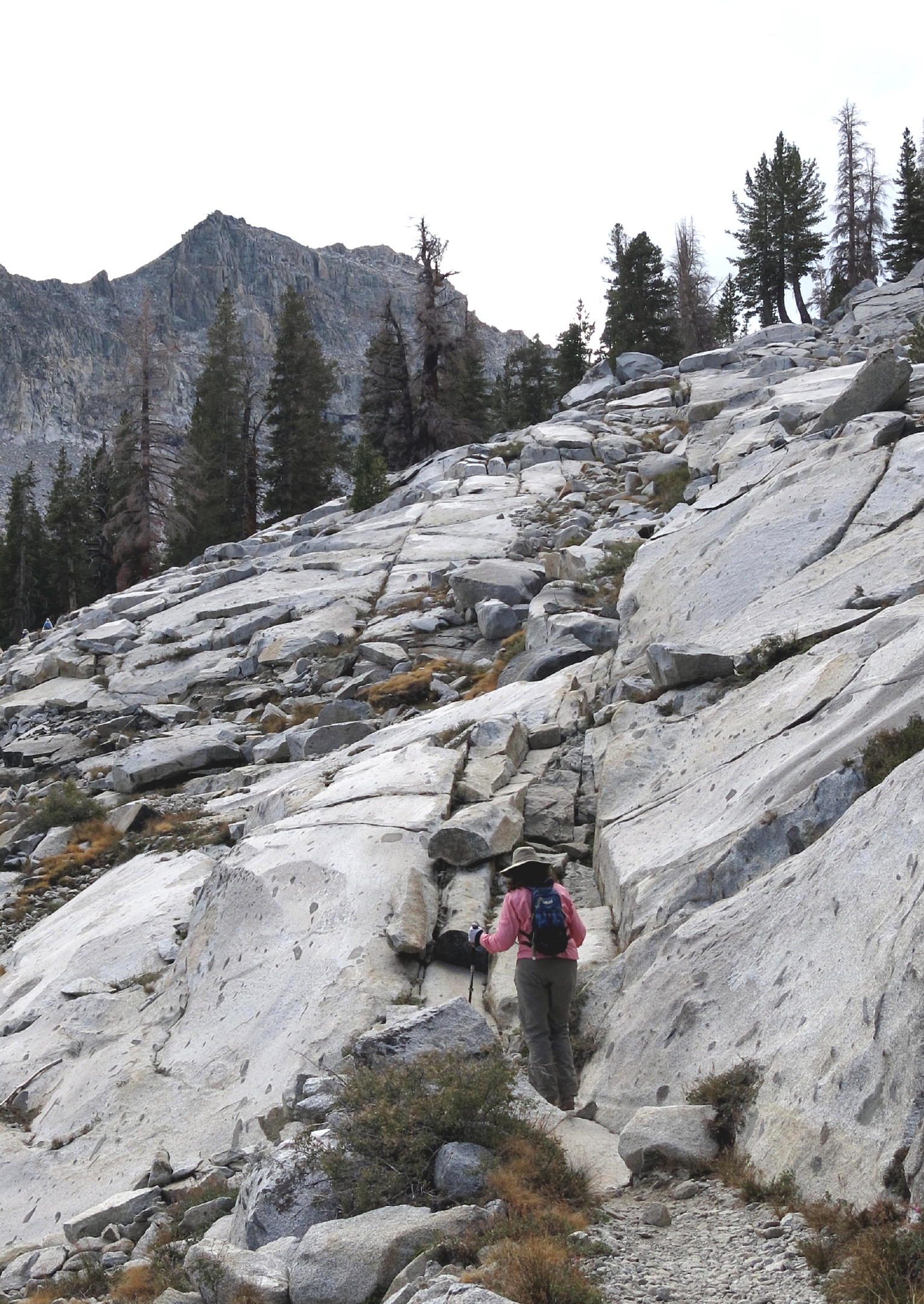
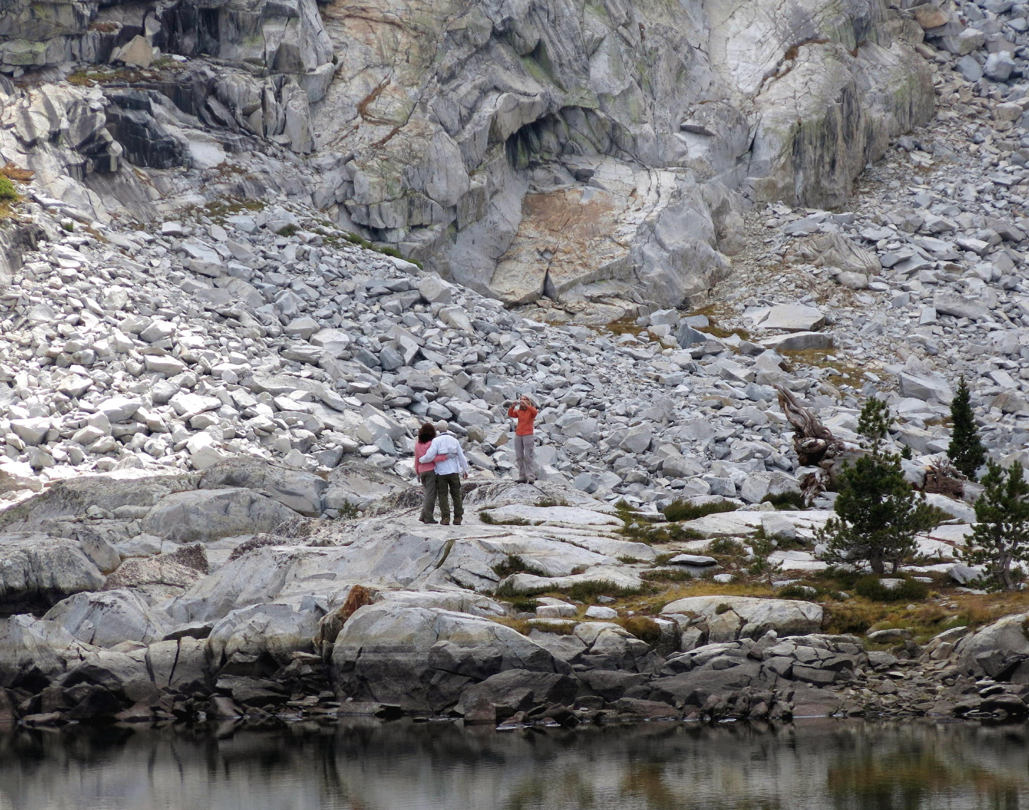
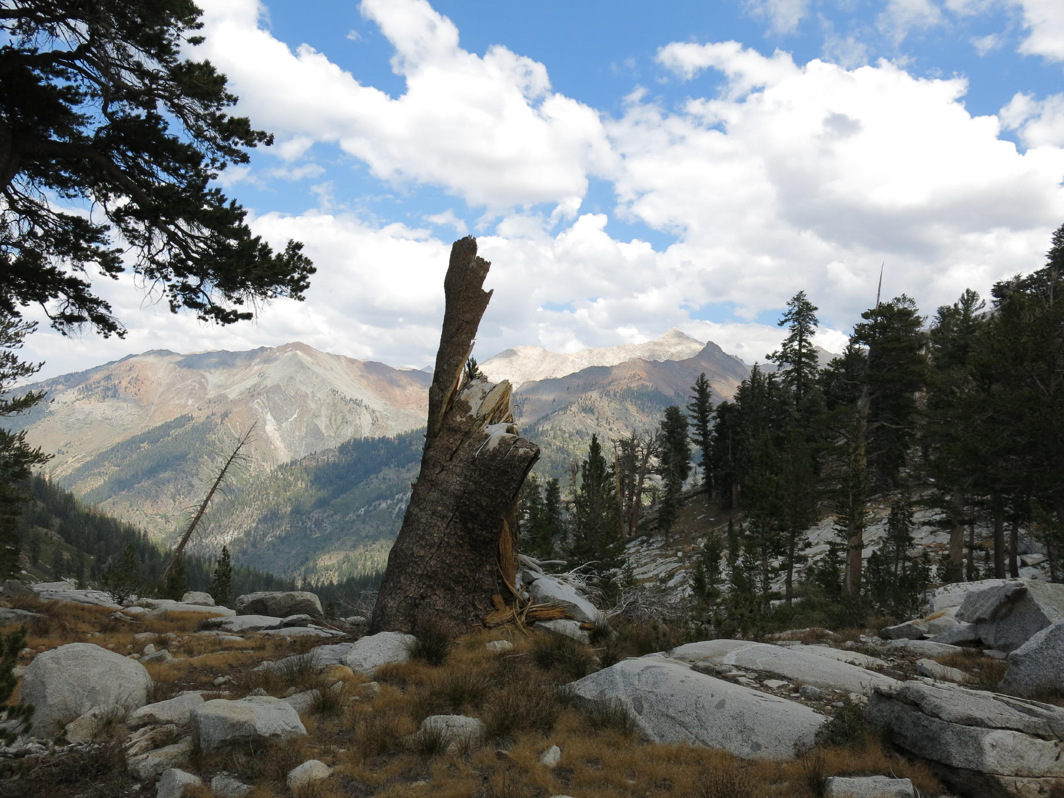
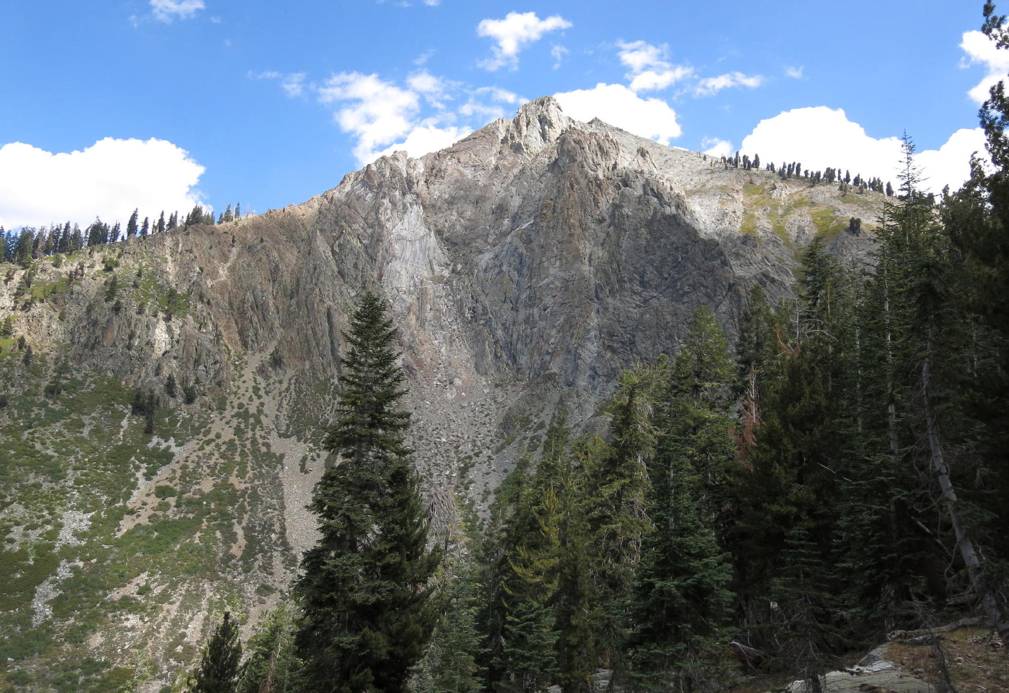
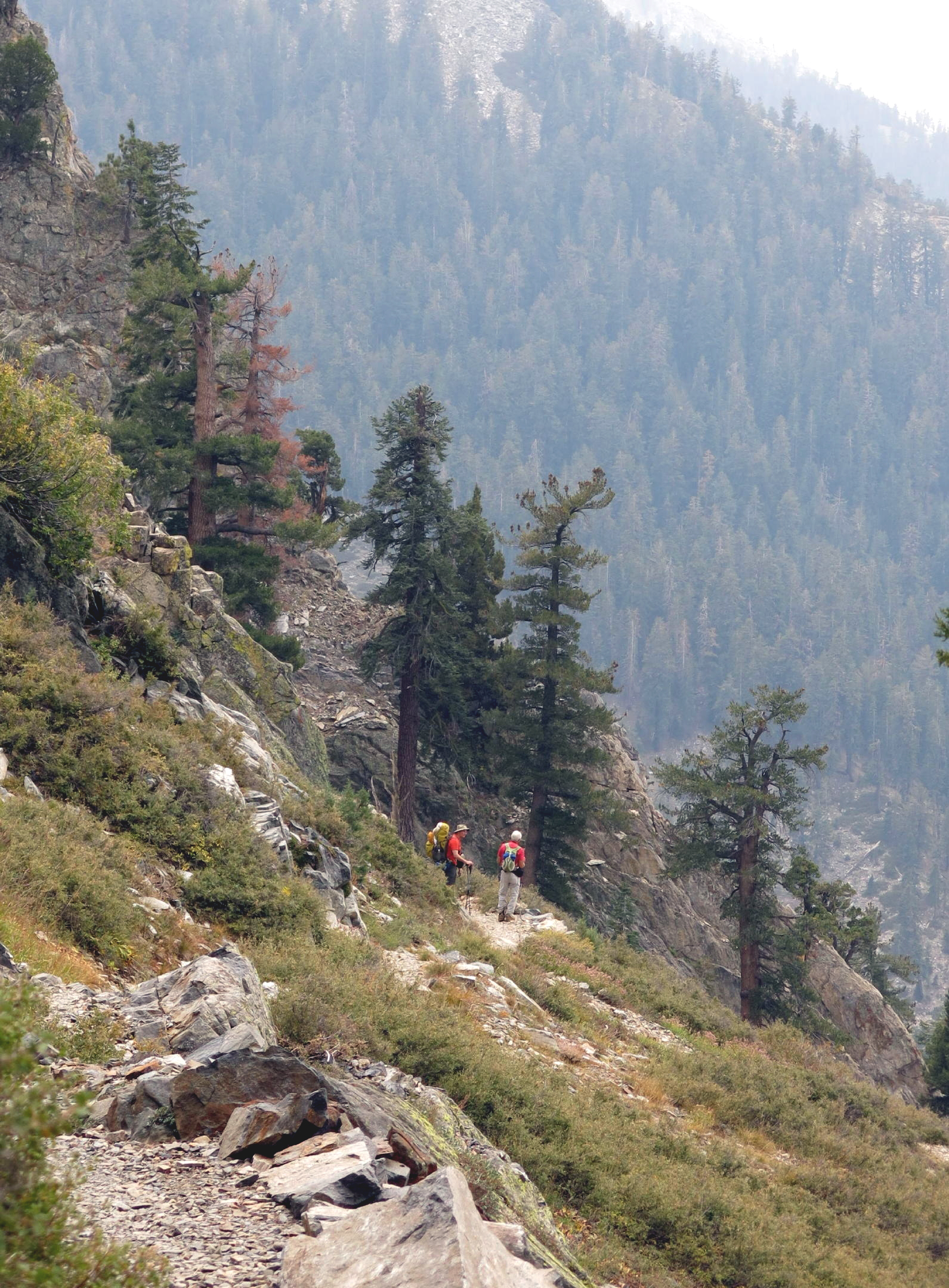
as far as Rich and I got, see note |
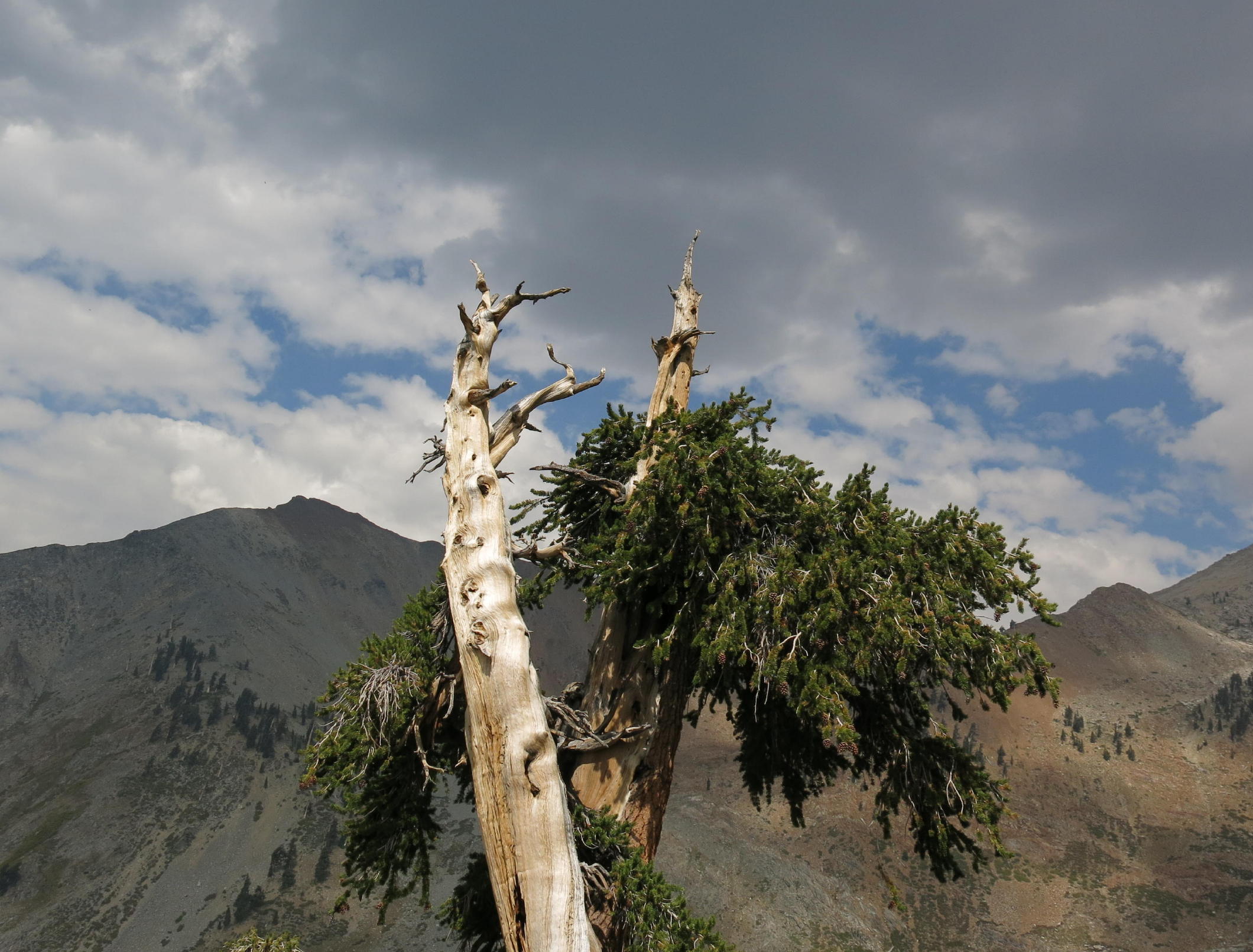 |
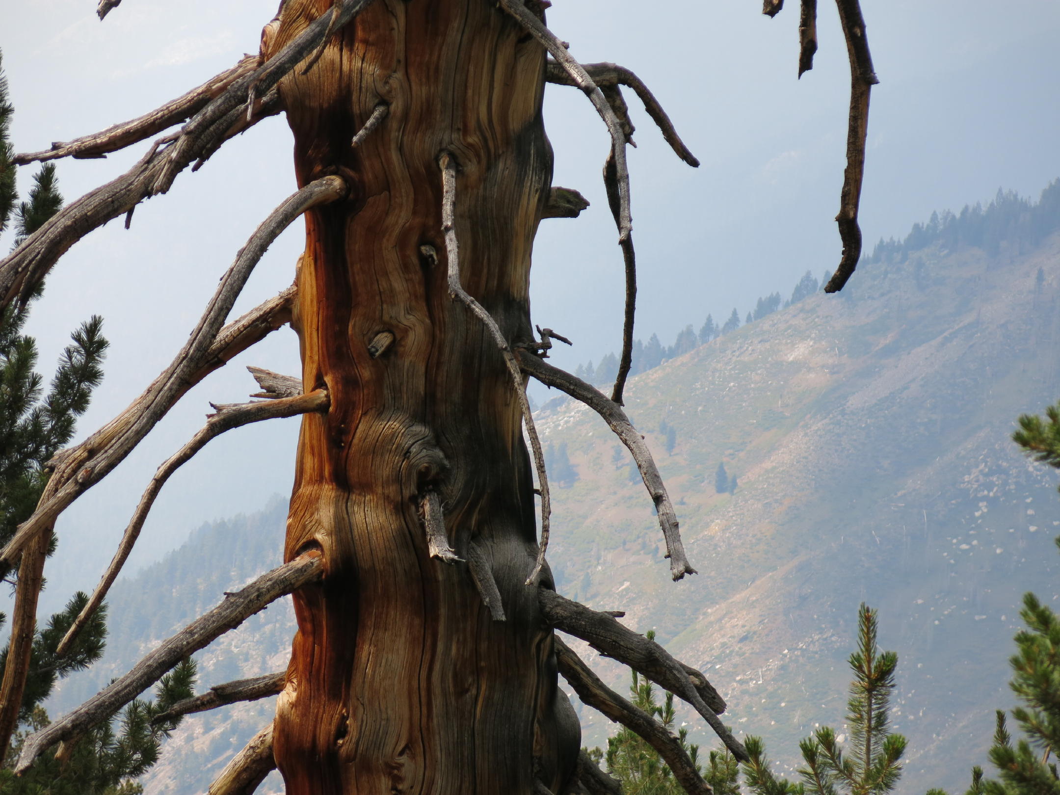
ancient Bristlecone pine, still alive |
 |
on the way back |
 |
|
 |
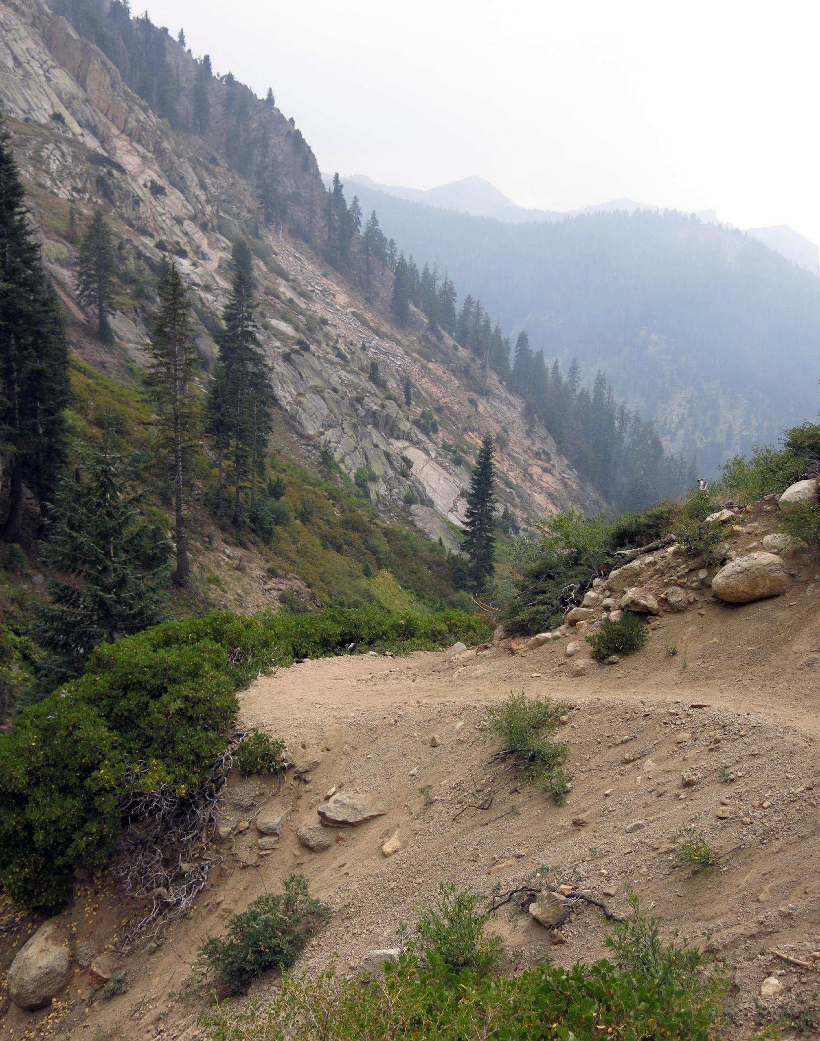
smokiness wafting up the canyon from below |
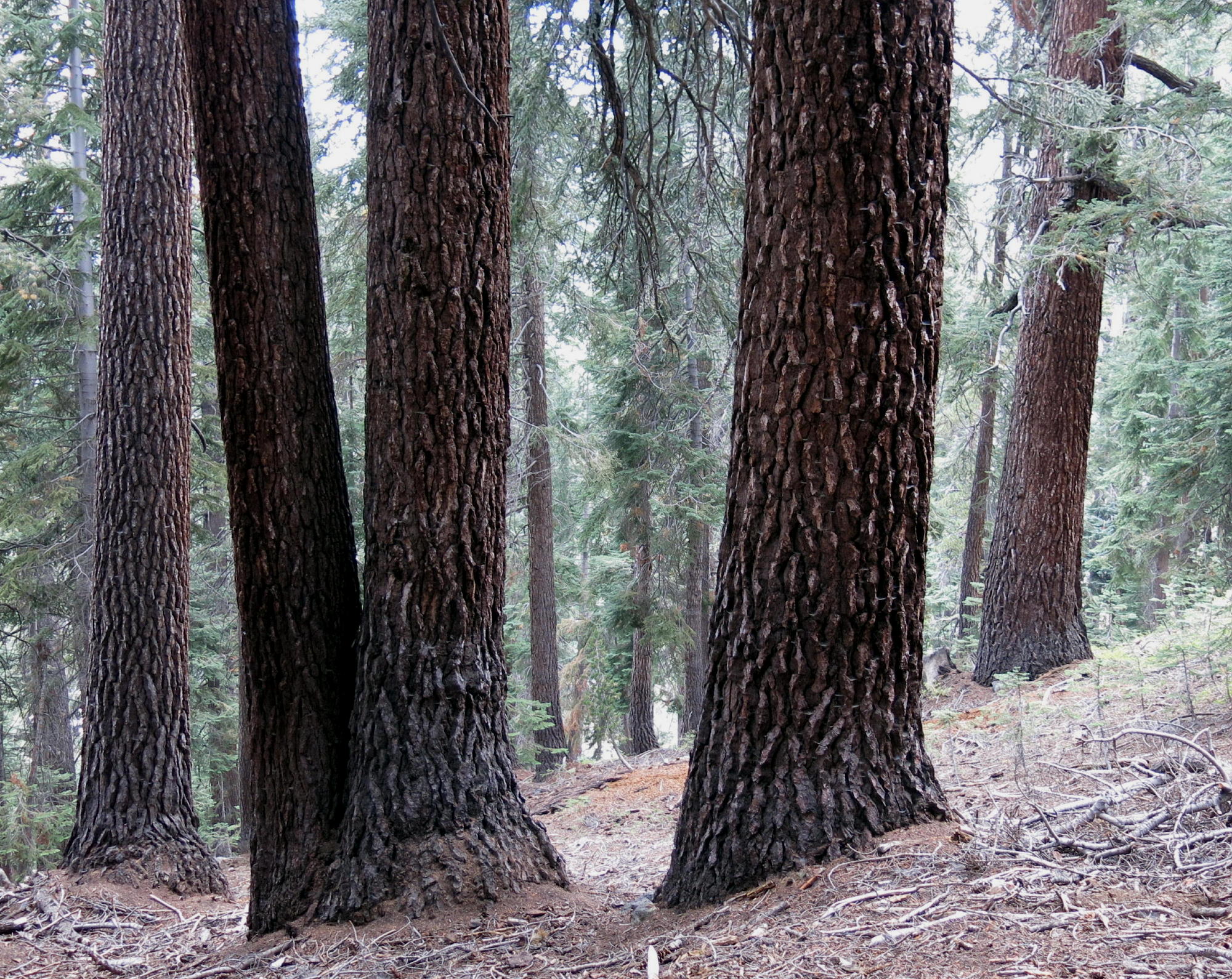 |
sugar pines |
 |
outgoing Rich |
 |
 |
directly above us |
 |
||
 |
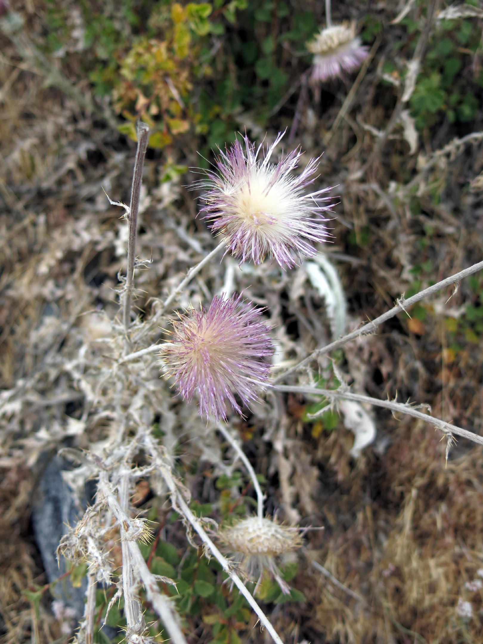 |
dehydrated thistle |
 |
almost back | |
 |
 |
squirrel tail |
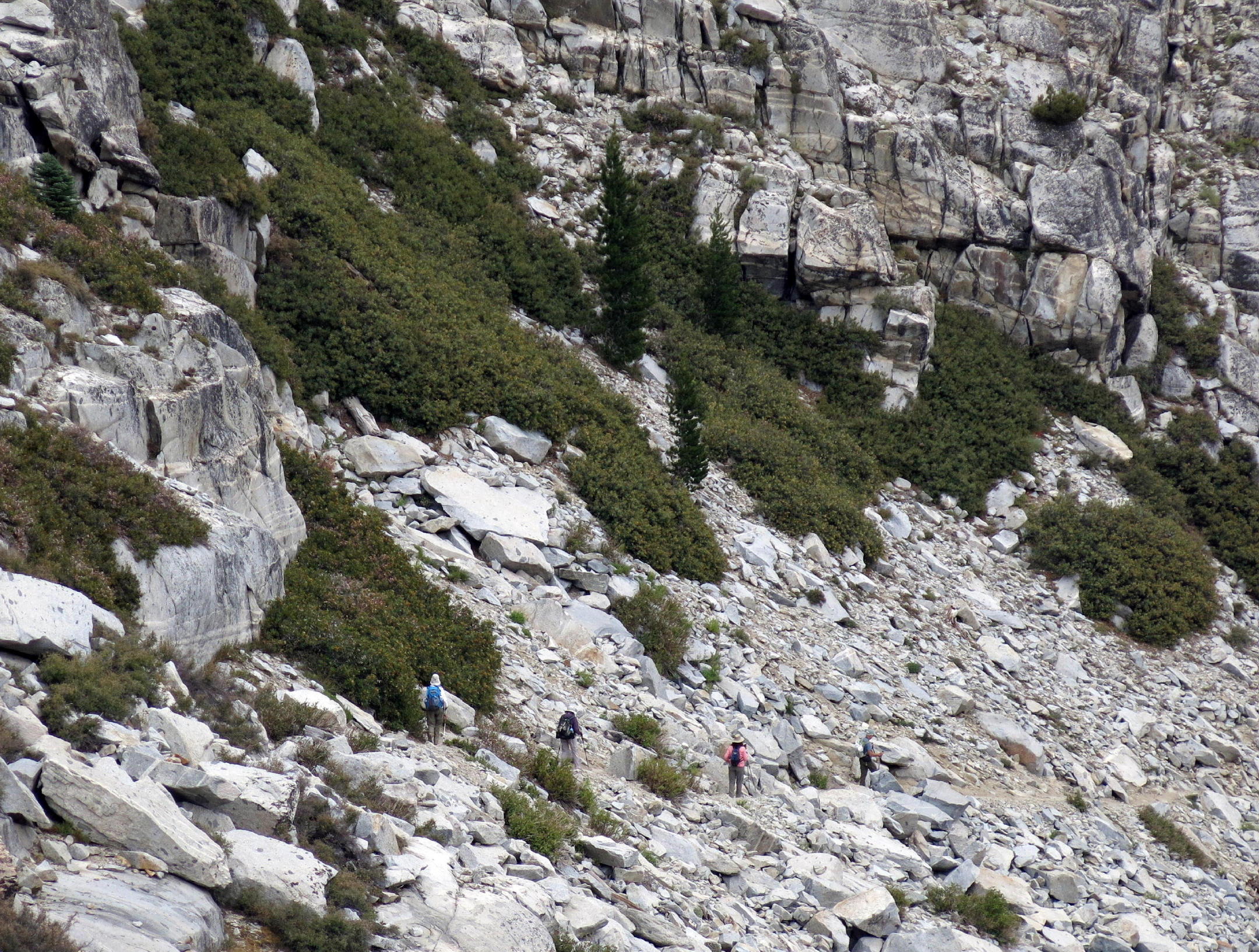
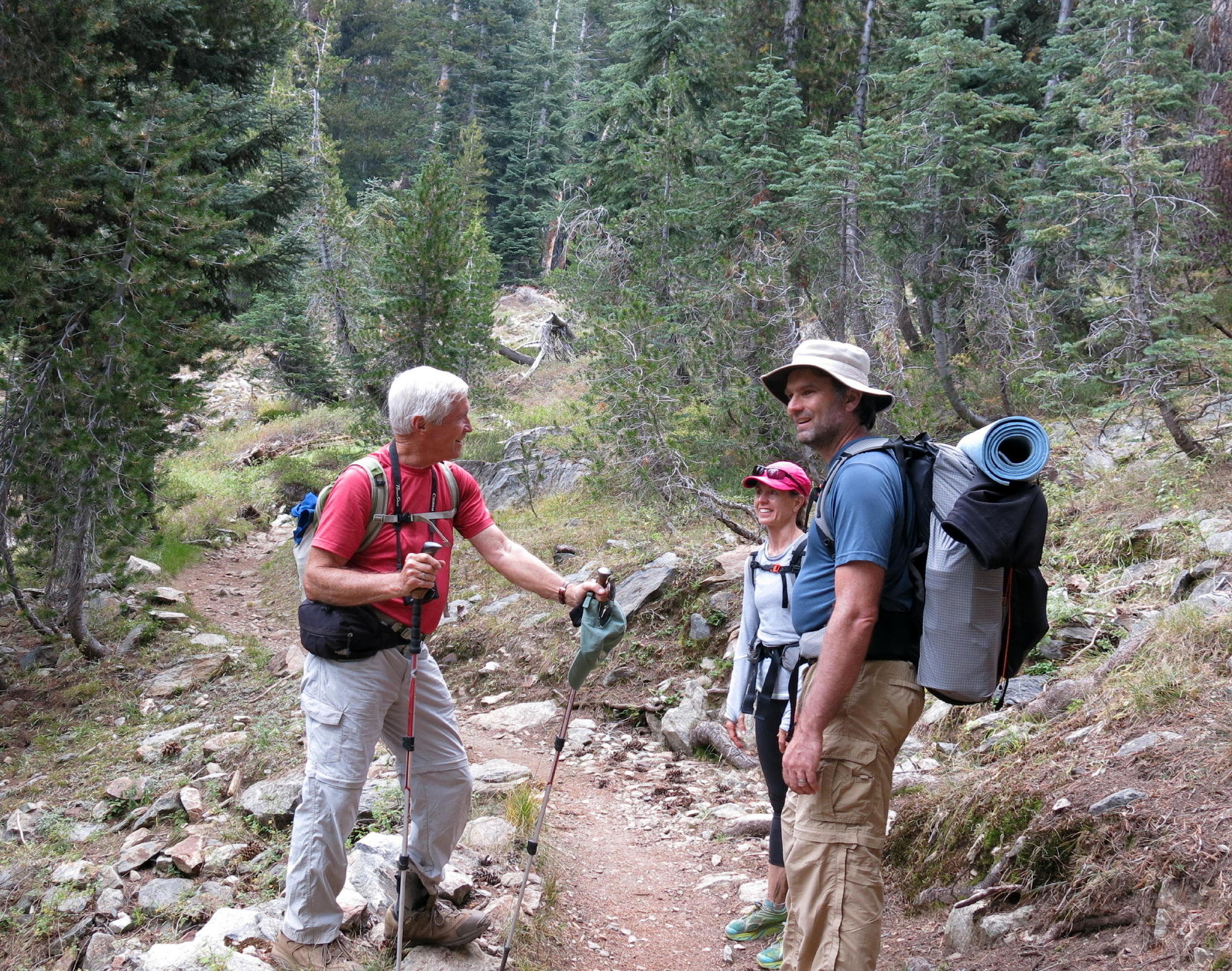
note - Linda and Jean continued on for another quarter-mile or so before turning back, while Rich and I sat & enjoyed the mountain scenery. In the photo, to the right the trail can be seen which eventually reaches Monarch Lakes.
Using the AllTrails map & trail preview at home (Aug. '25), I figured we walked about 7 miles rt with 2,200 ft. of gain.
About Mineral King - starting in 1873, there was a brief gold mining operation here, but the vein ran out in only a year or so, and the owners lost their investment.
In modern times (early 1960s) the Walt Disney Co. considered building a ski resort here but eventually backed out, possibly due to the terrible drive ? Or, because some of the land here is in Sequoia National Park, or for other reasons.
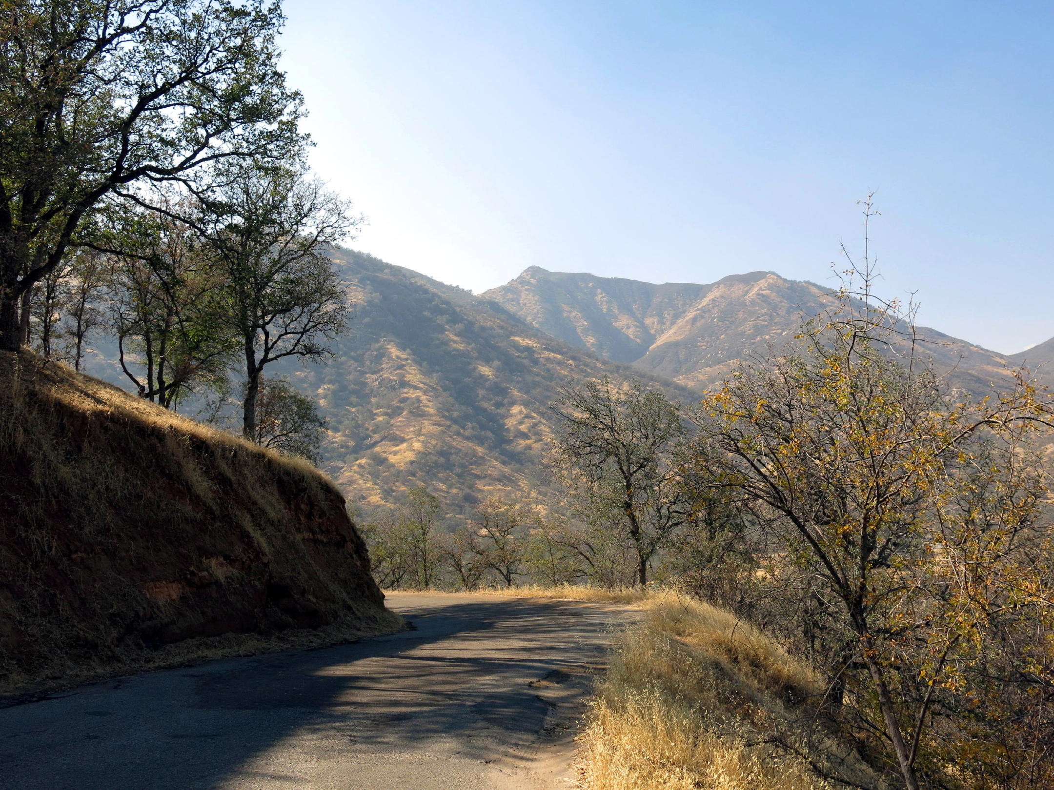
The drive home -
 |
Mineral King Road |
 |
smoky landscape while departing |
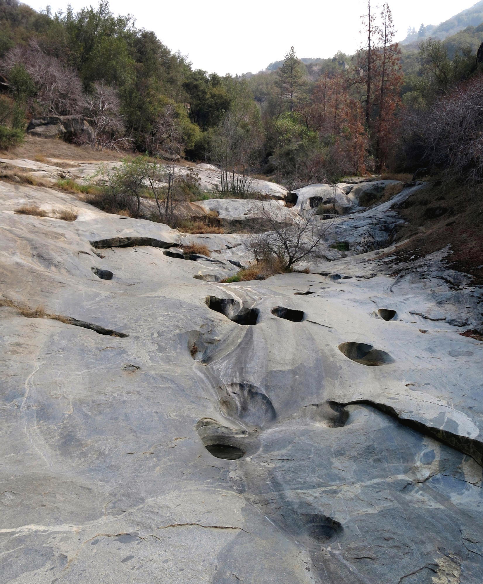 |
creek hydraulics (note 1) |
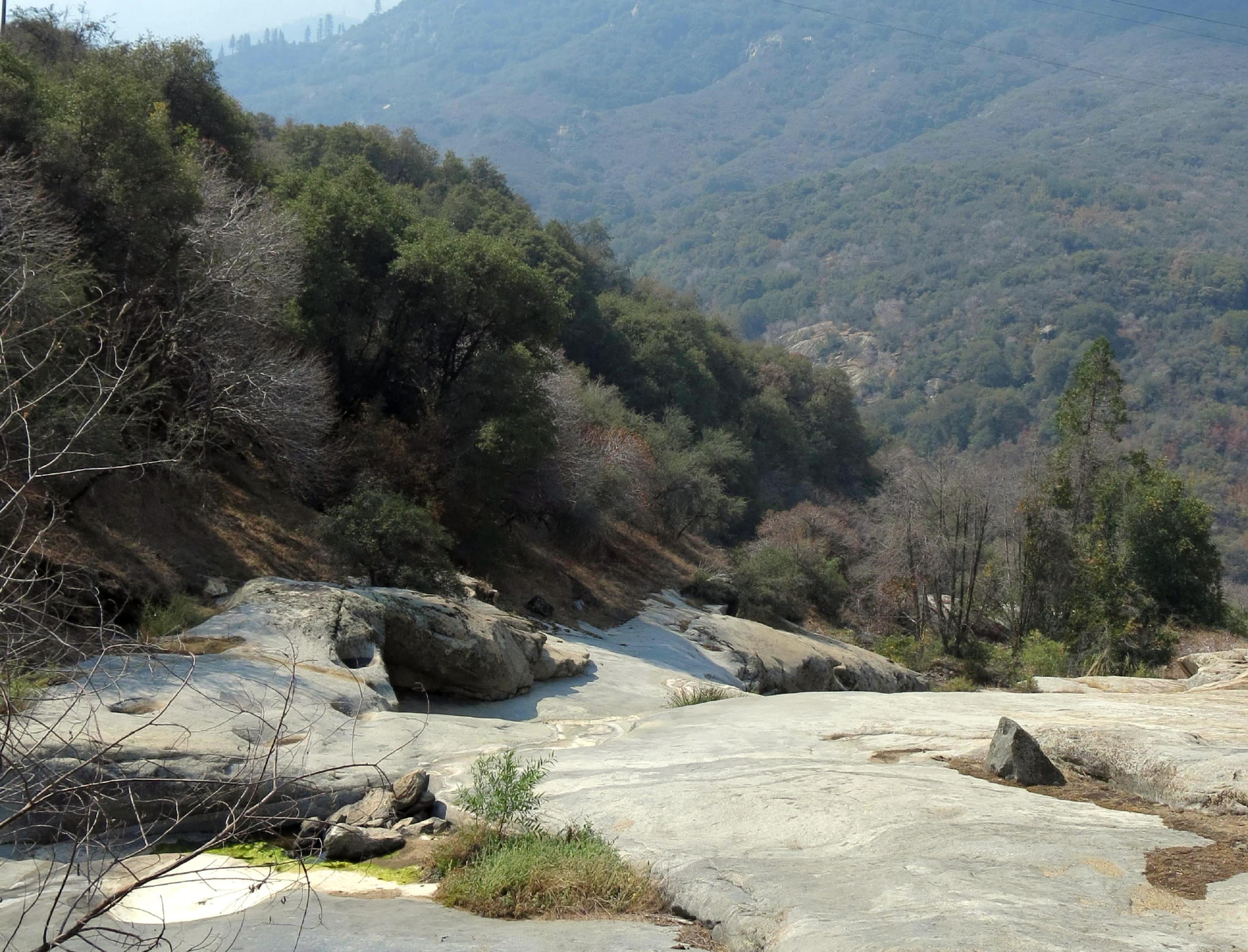 |
steep terrain, downstream |
 |
see note 2 |
note 1 - looking upstream from Kaweah Bridge.
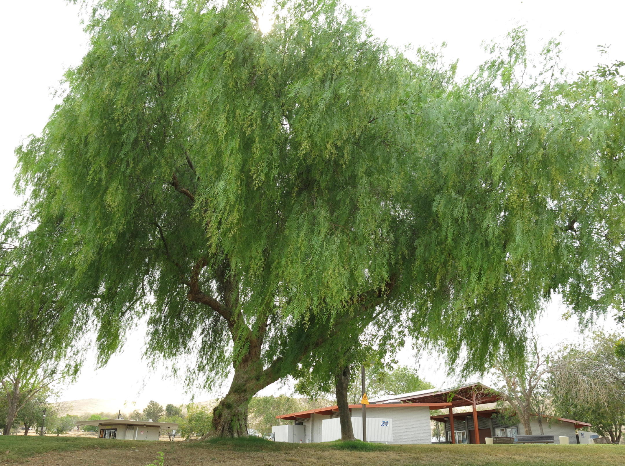
note 2 -I saw an attractive native California pepper tree was at a hwy. 99 rest stop, near Fresno.
Go to next page - 2016
return to eastern sierra index
return to index