.jpg)
Eastern Sierra hikes - 2014
return to eastern sierra index
return to index
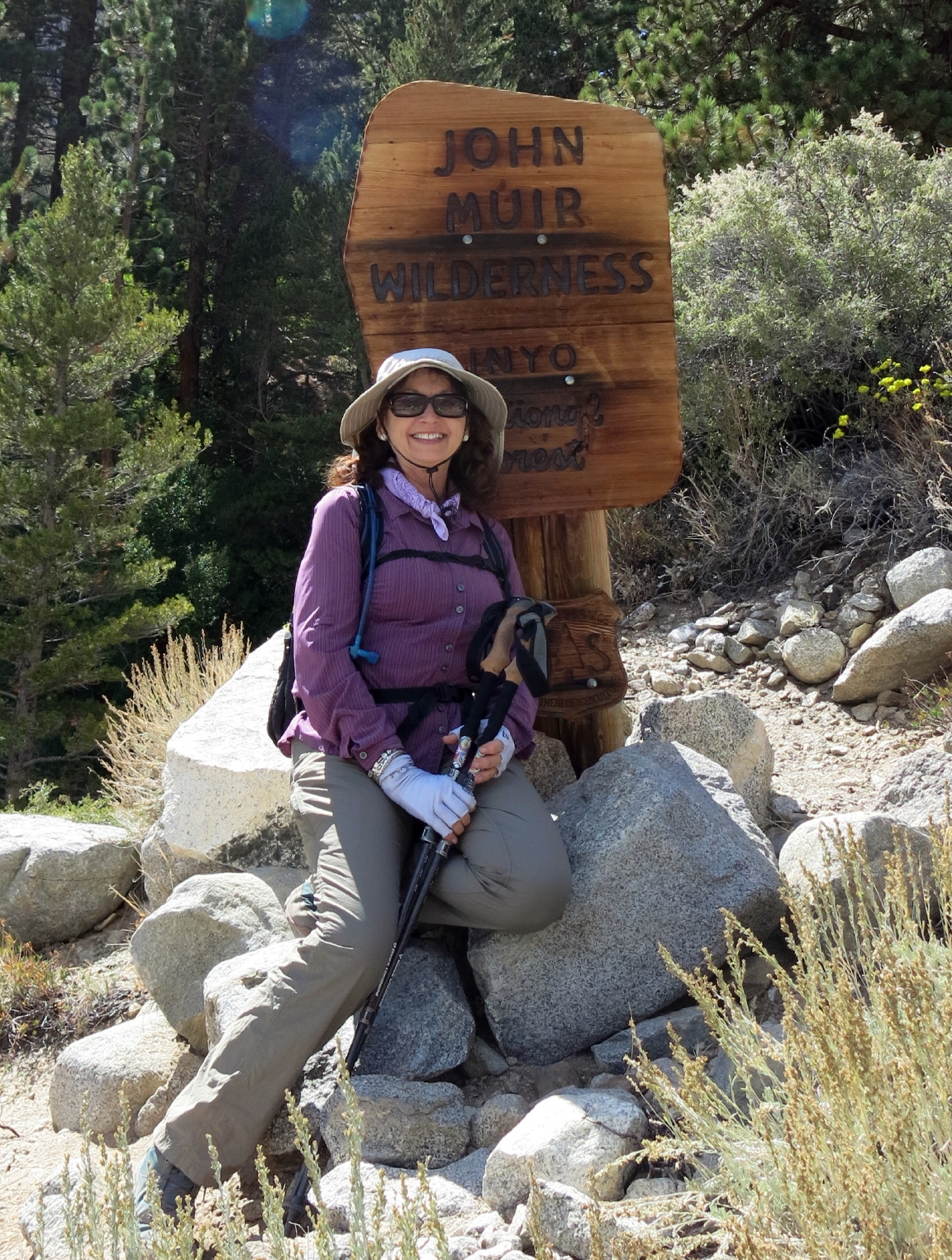
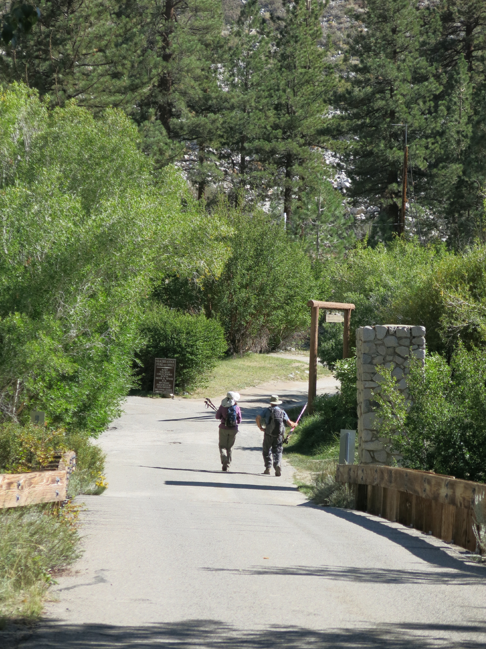
In September, seven of us headed south on hwy. 395, this time past Bishop to Big Pine, then turning west & staying at Glacier Lodge Cabins at 8,000 ft. On two of the three walks we did, the trailhead was only a few minutes from the cabin door.
note - on a pc or laptop you can zoom in & and out, but not on a smartphone.
|
|
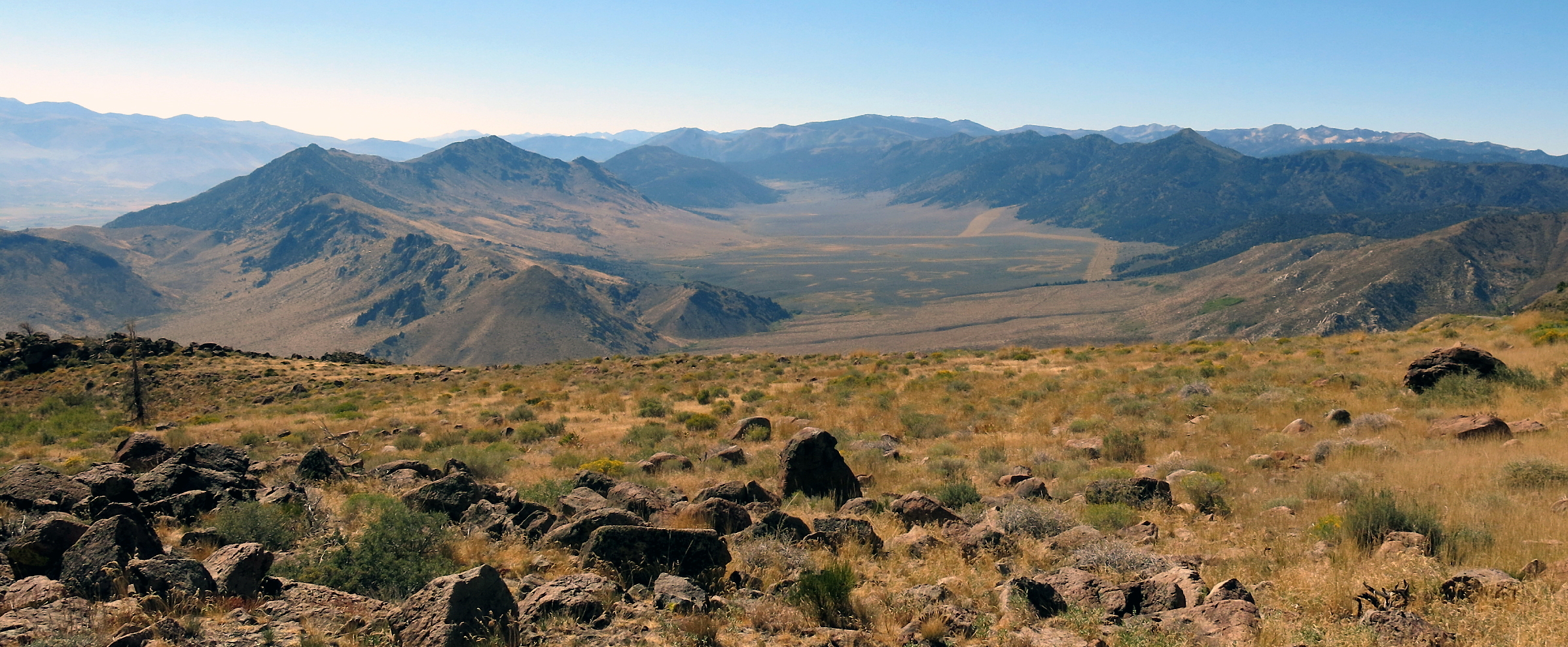
volcanic Black Butte, above Caples Lake, hwy 88 |
|
E. Fork of Carson River on hwy. 89, near Markleeville |
|
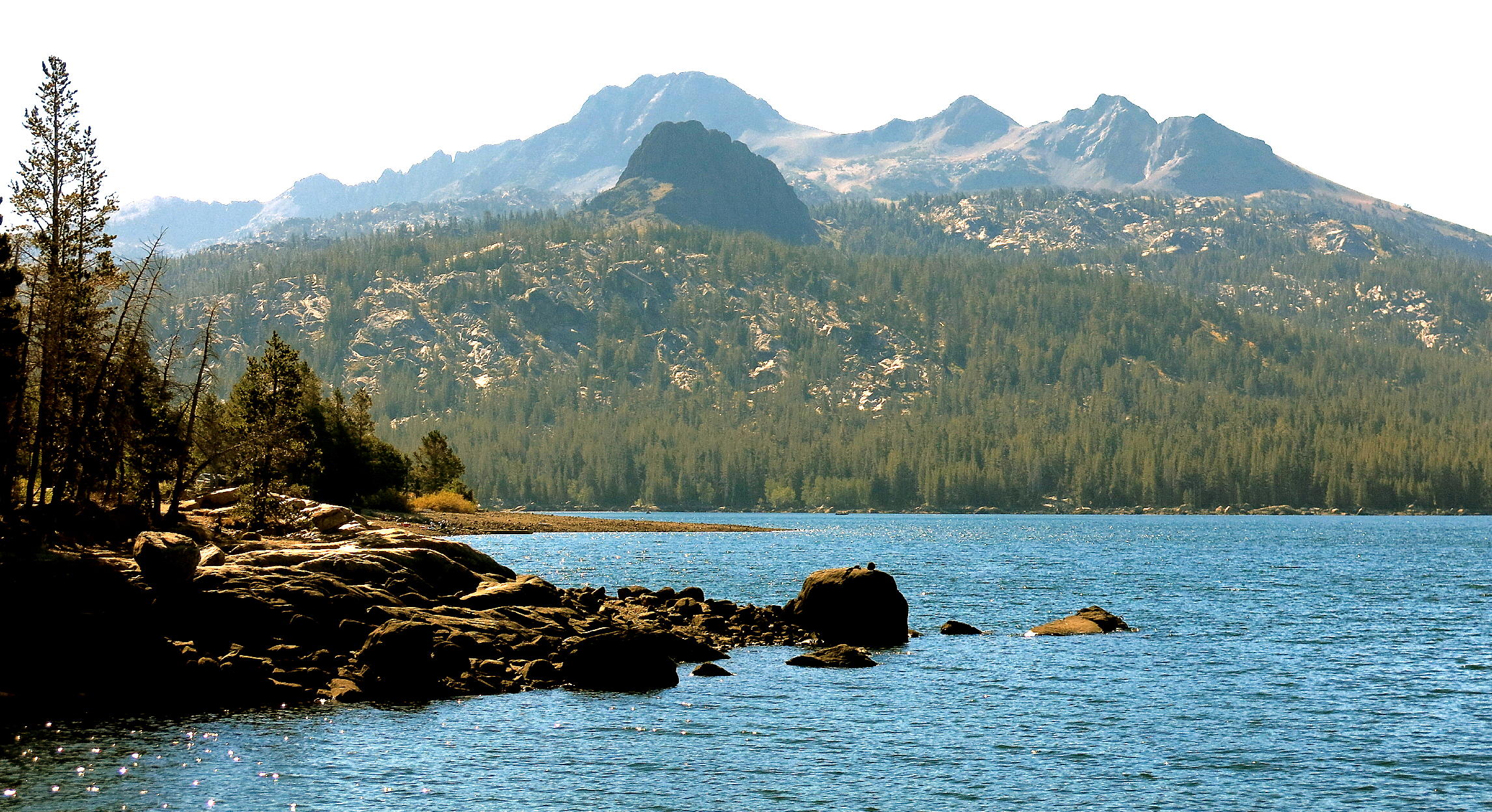
Monitor Pass scenery, both volcanic & glacial |
|
|
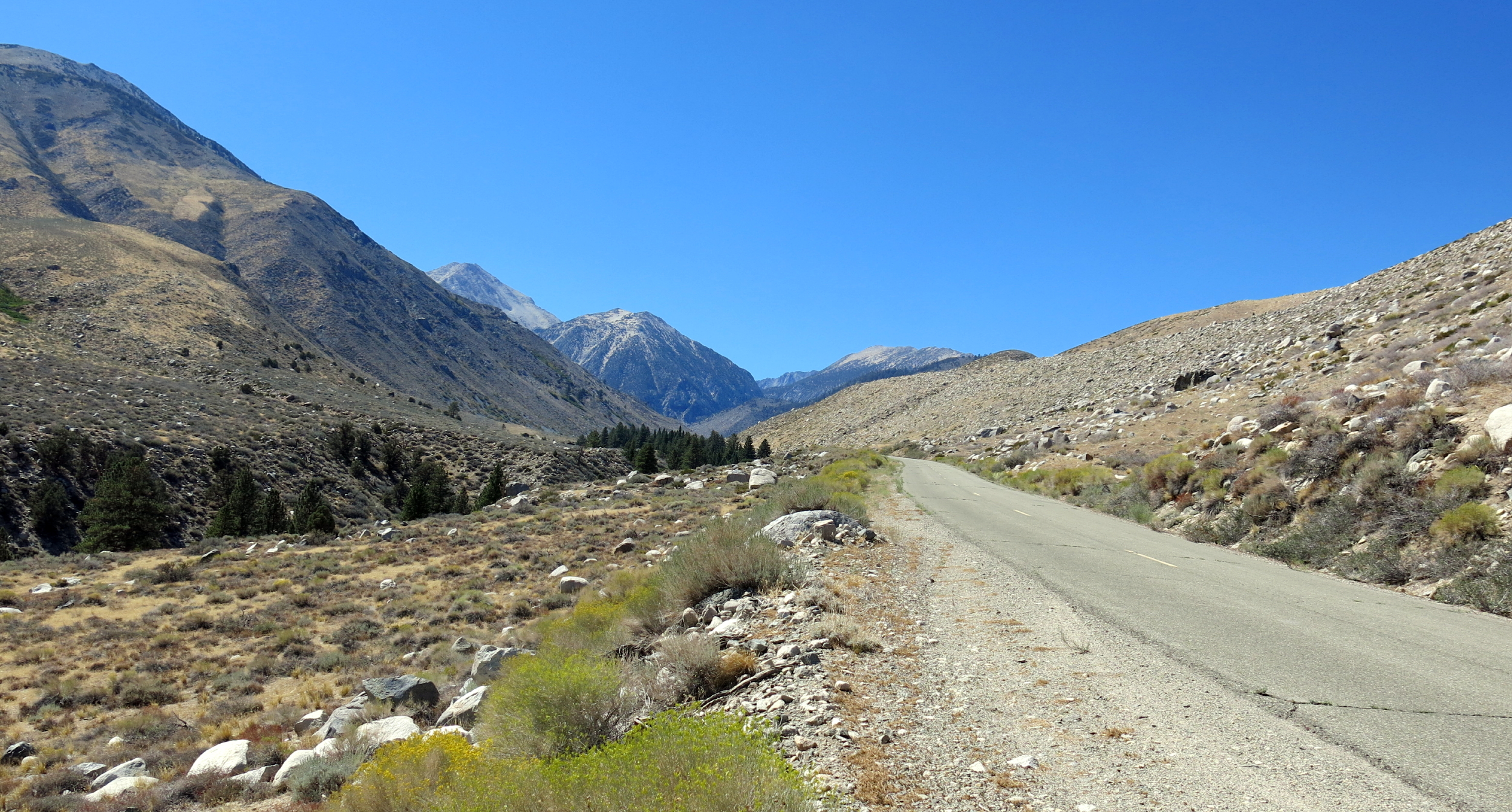
road to Glacier Lodge |
|
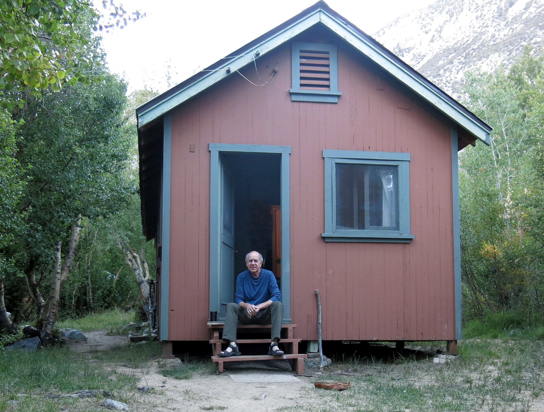
rustic cabins |
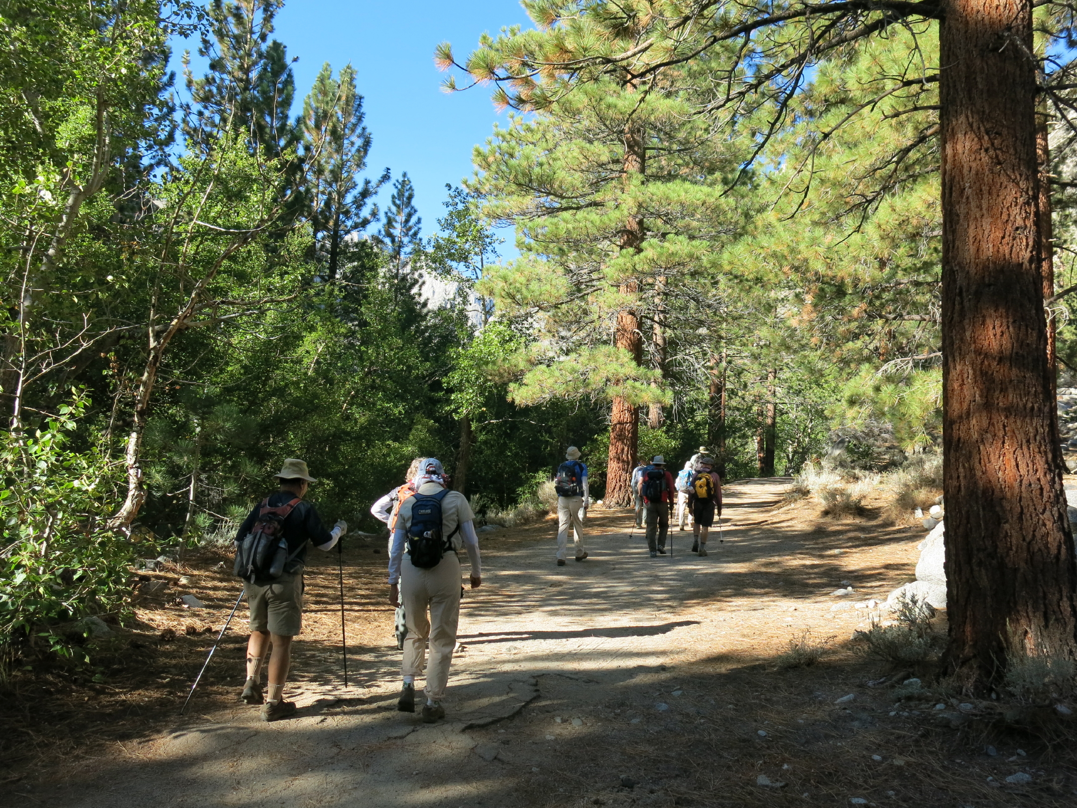
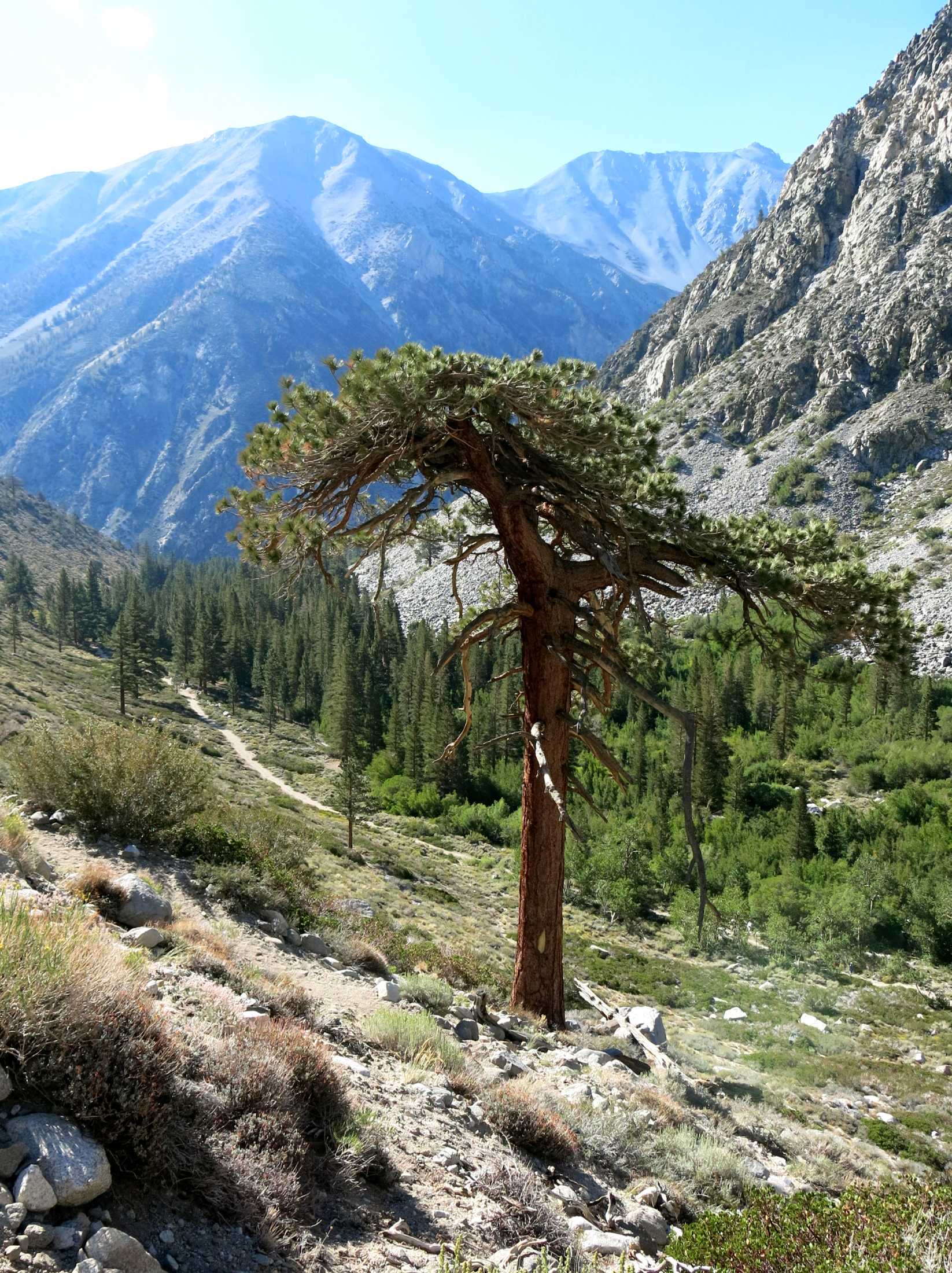
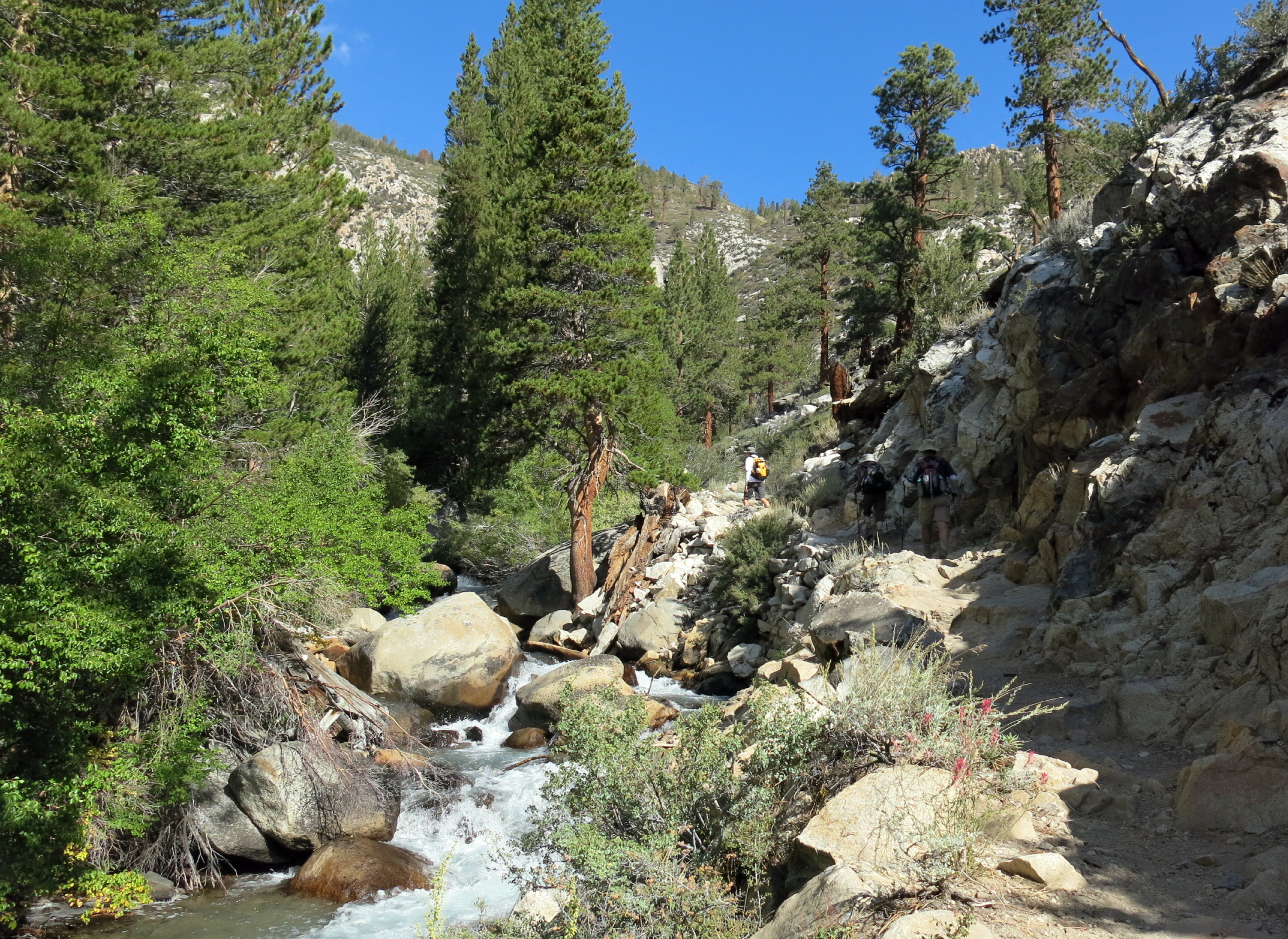
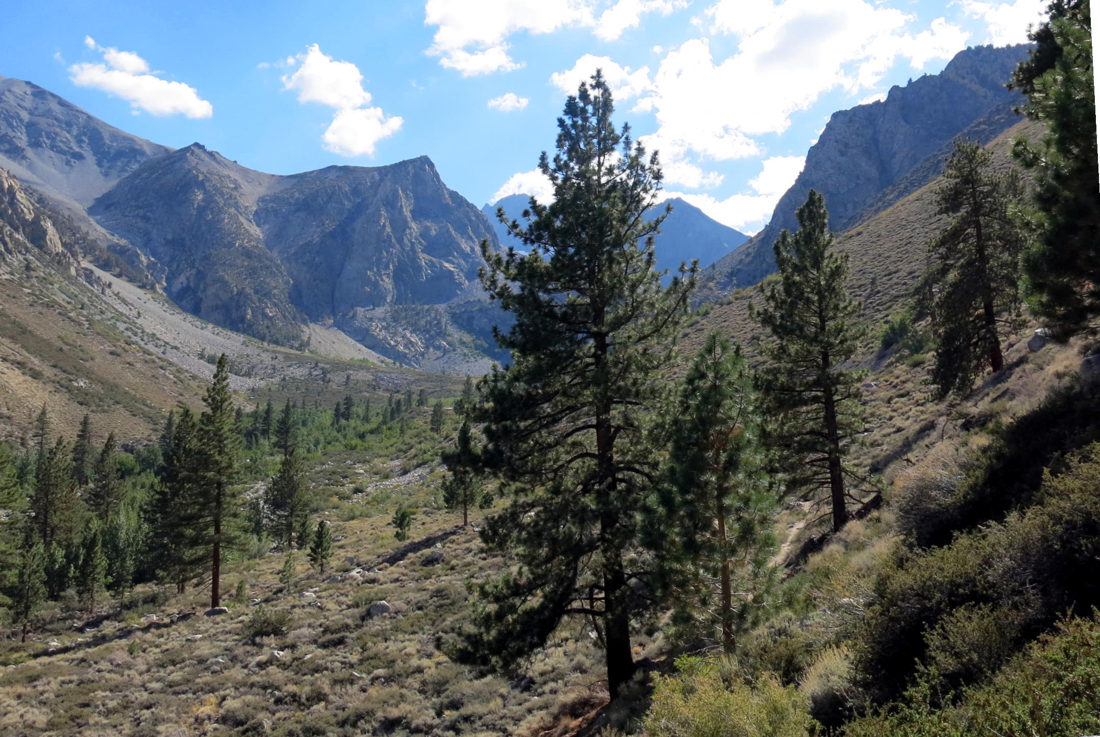
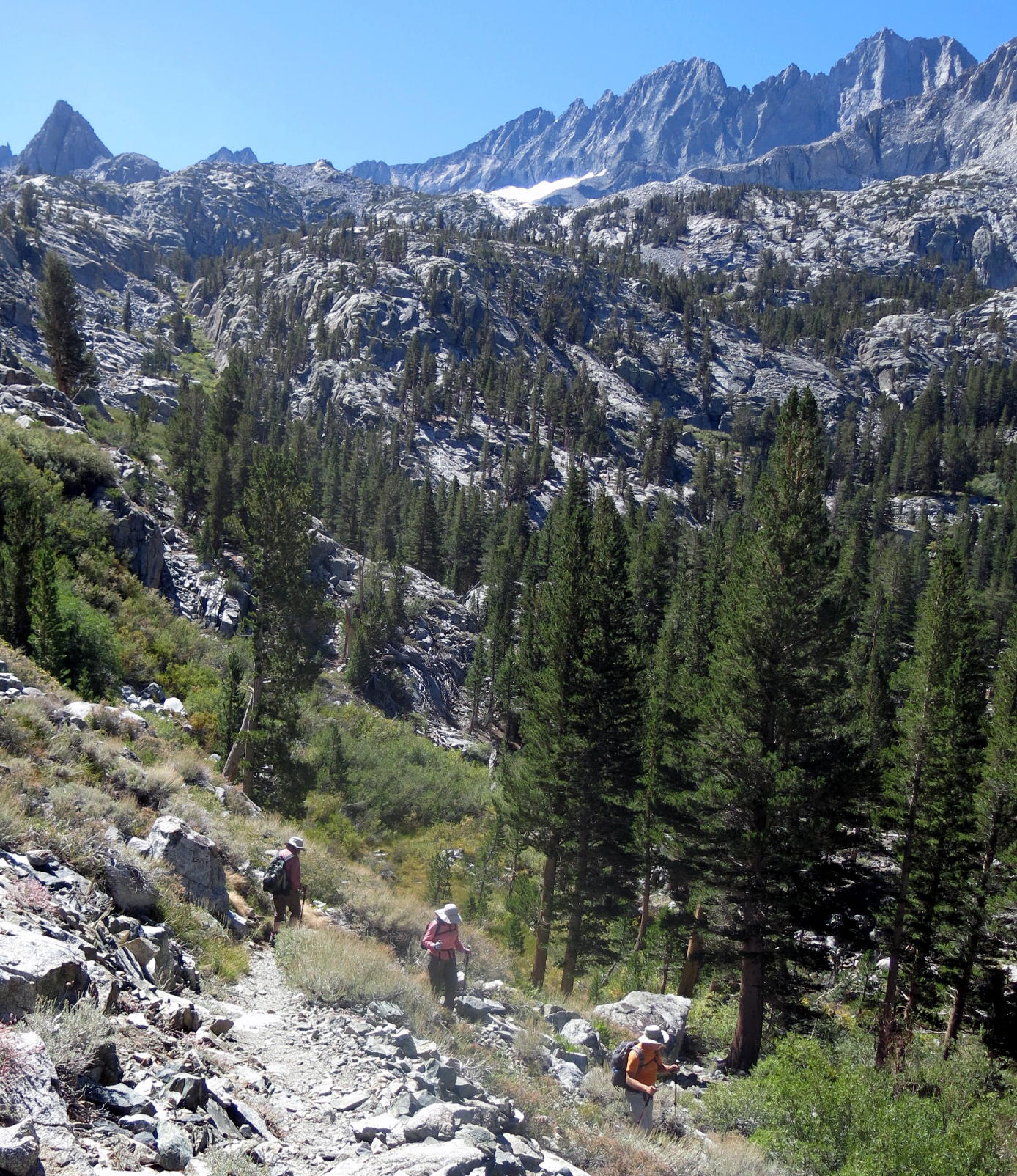
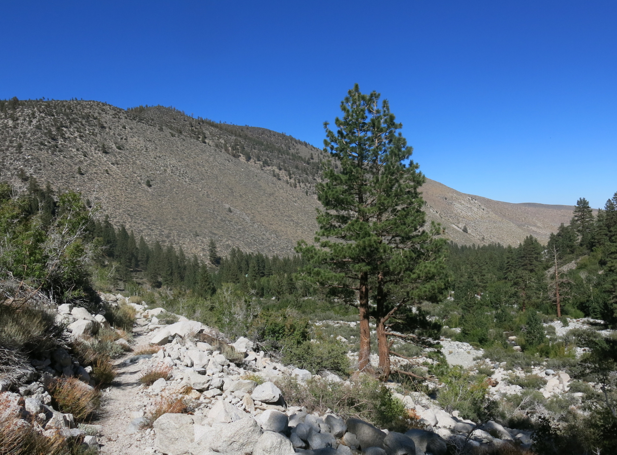
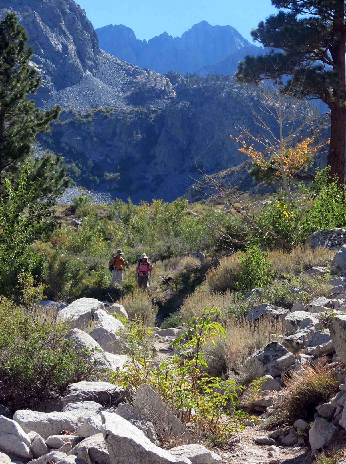
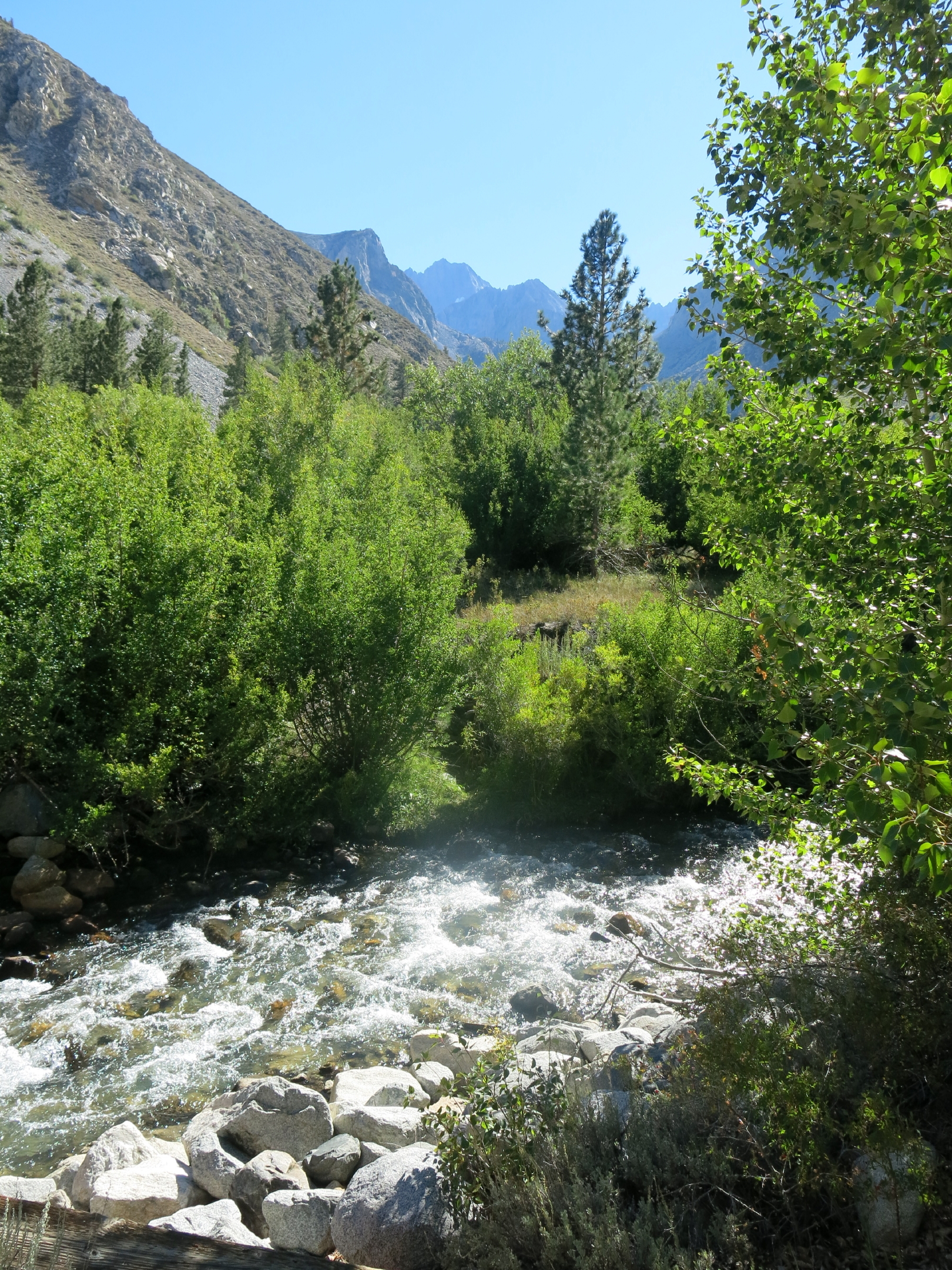
Our first walk followed Big Pine Creek uphill, past nondescript First Lake to more impressive Second Lake, at 10,000 ft.
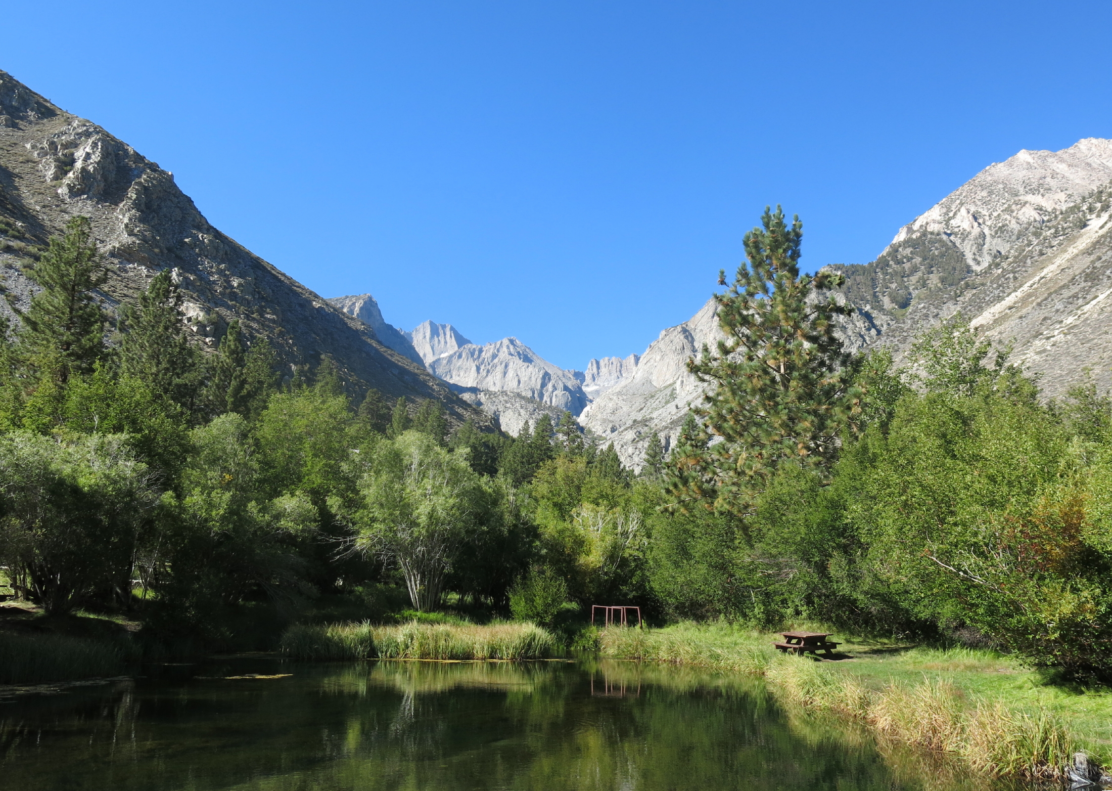 |
morning light at the cabins |
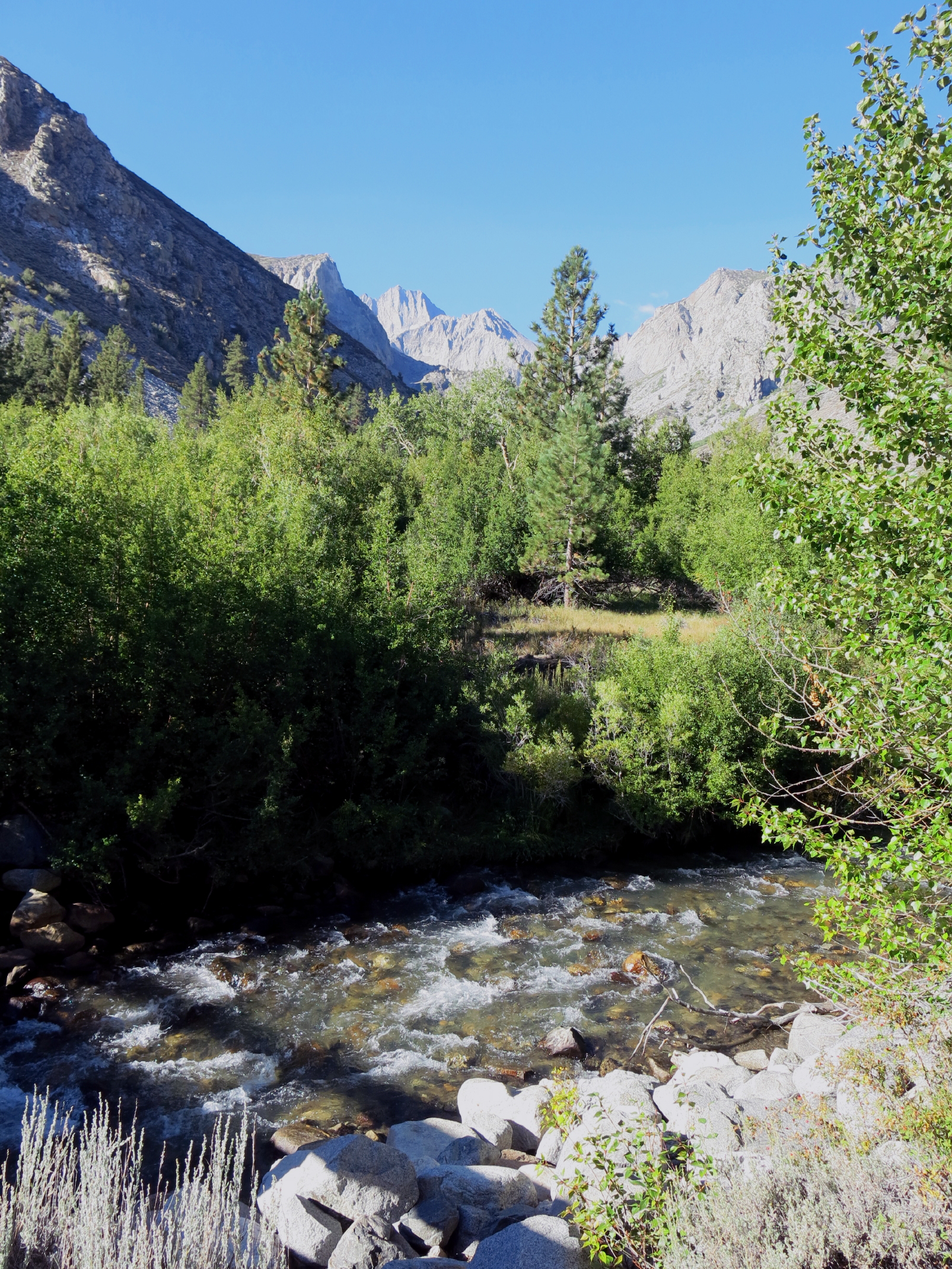 |
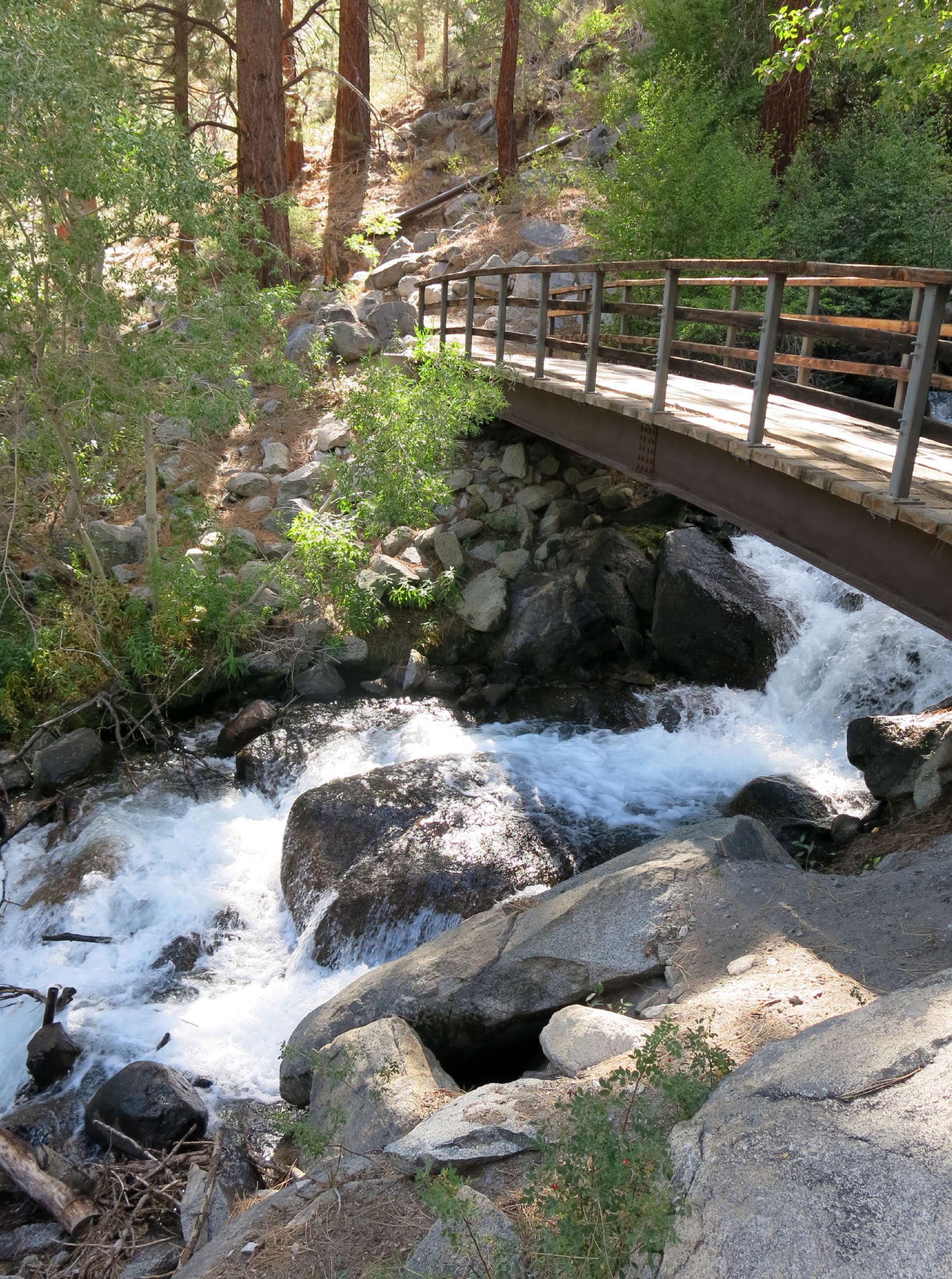
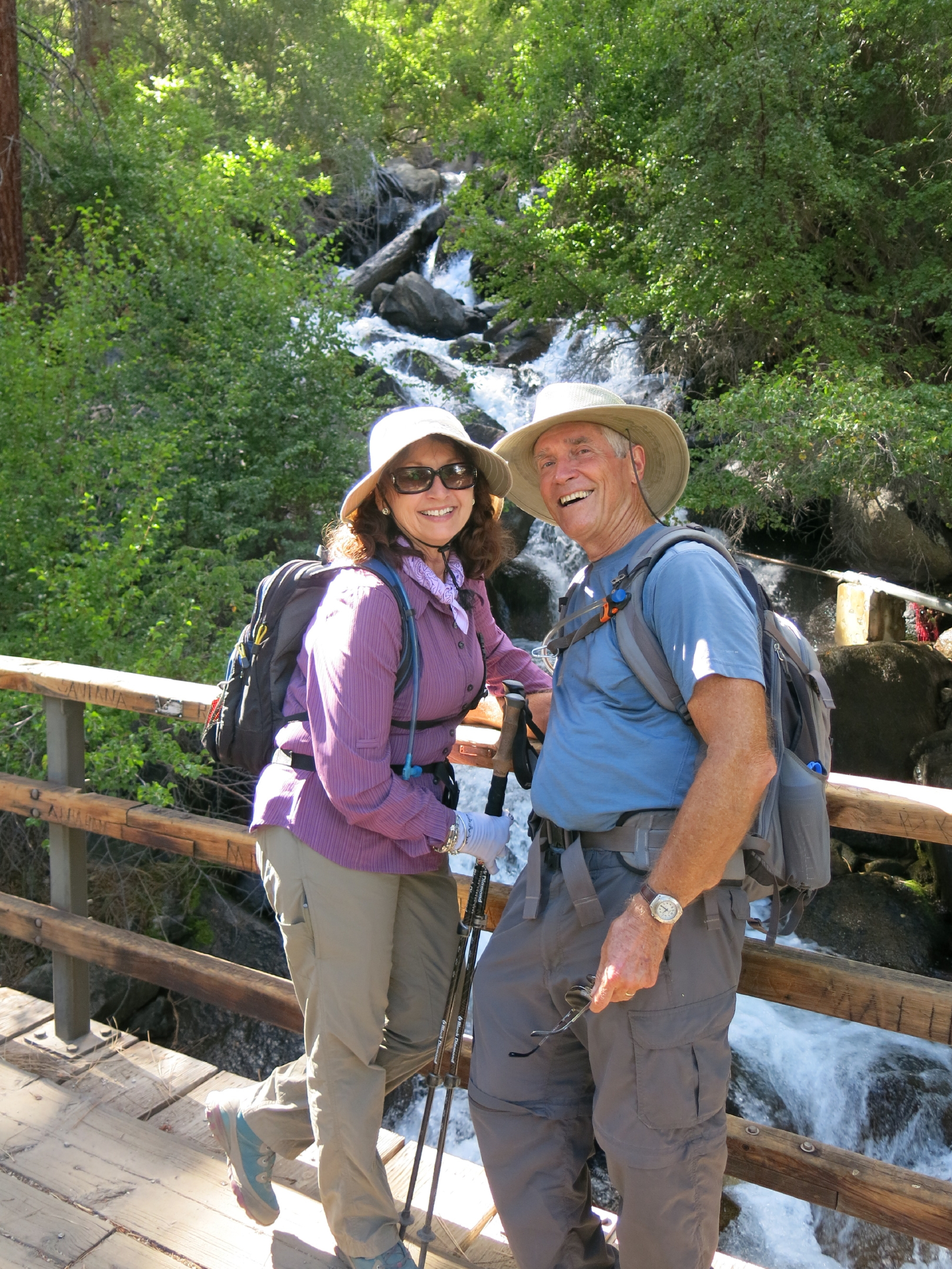
Big Pine Creek |
 |
|
 |
 |
falls on the trail |
 |
||
 |
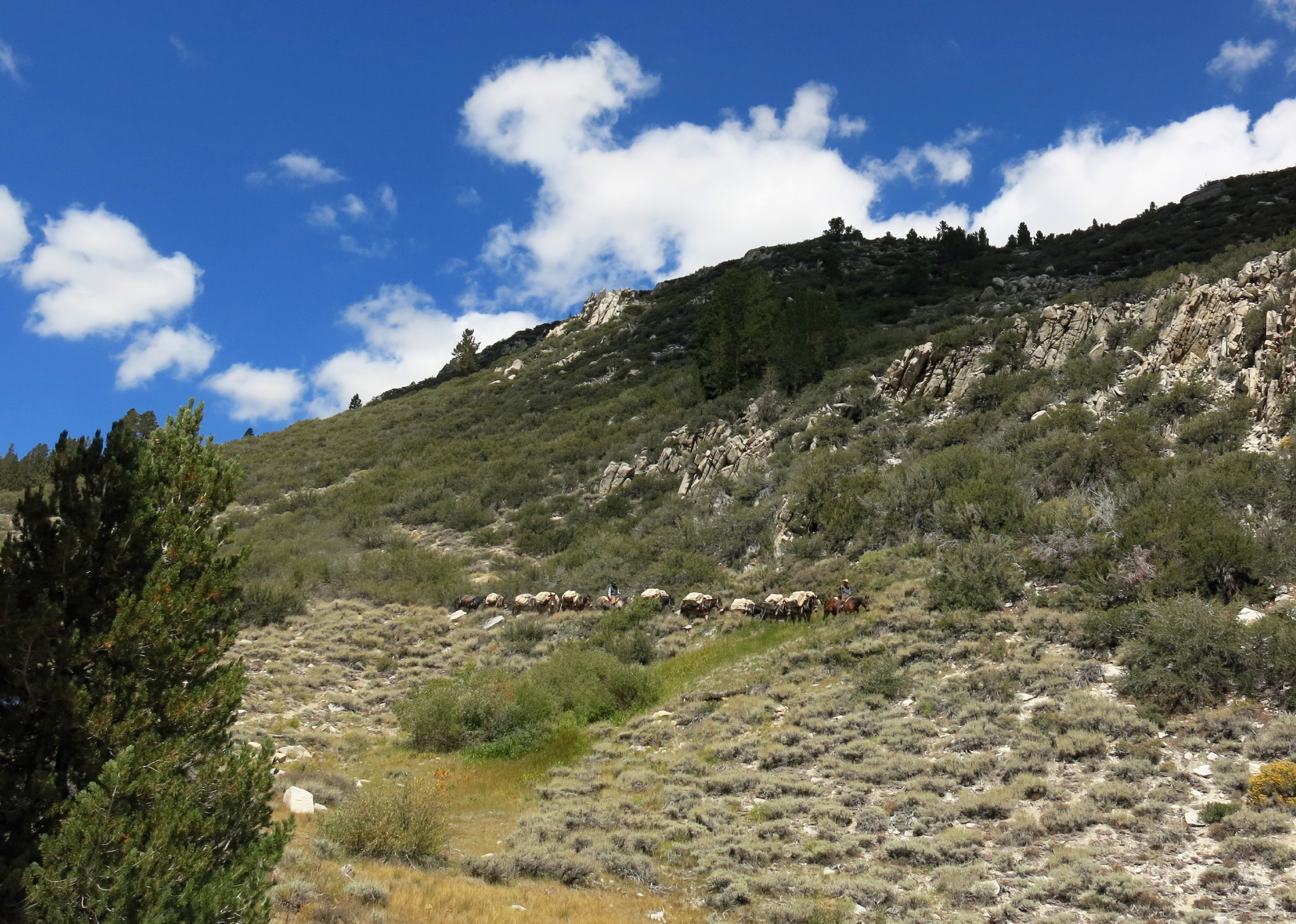 |
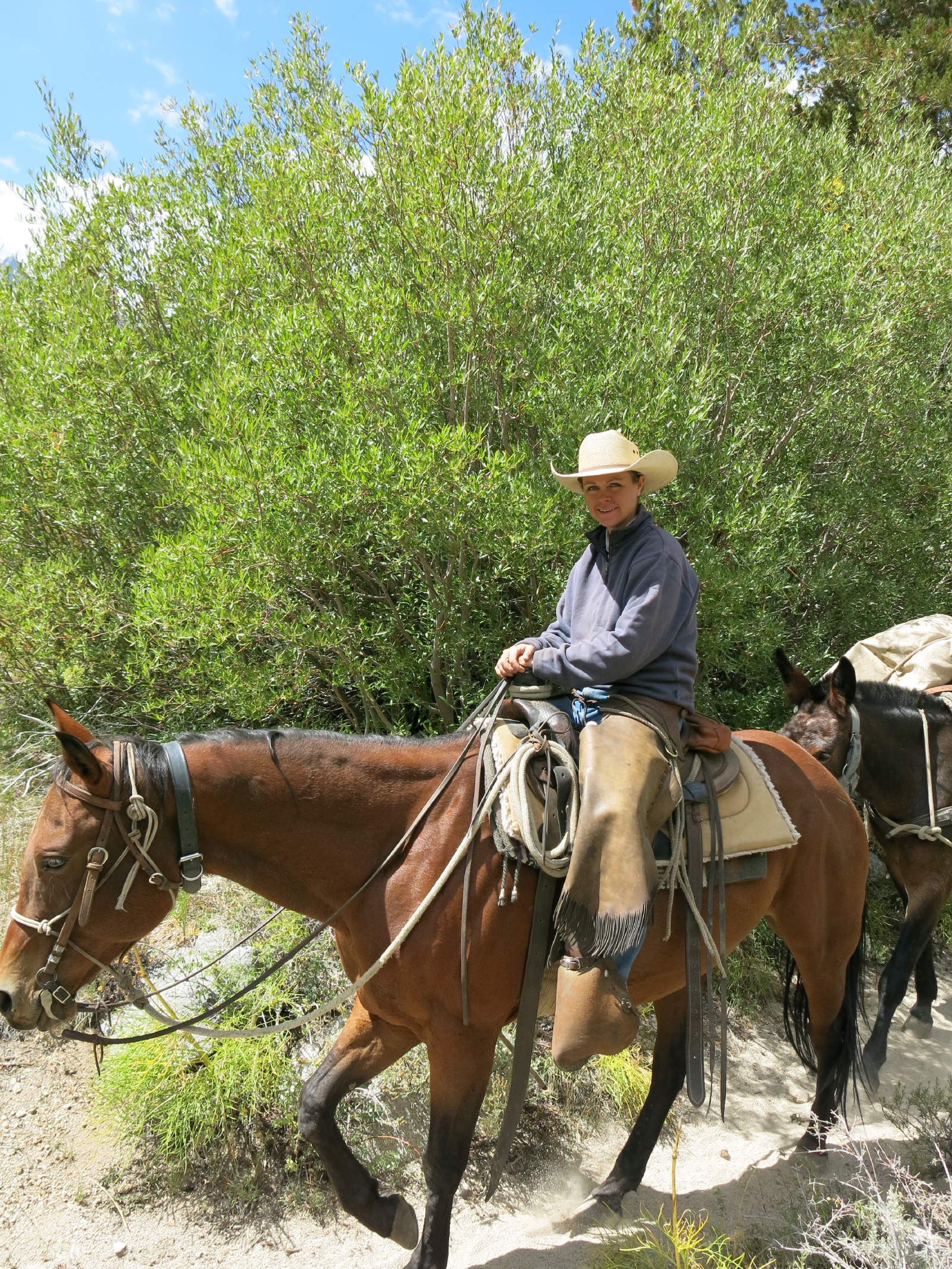
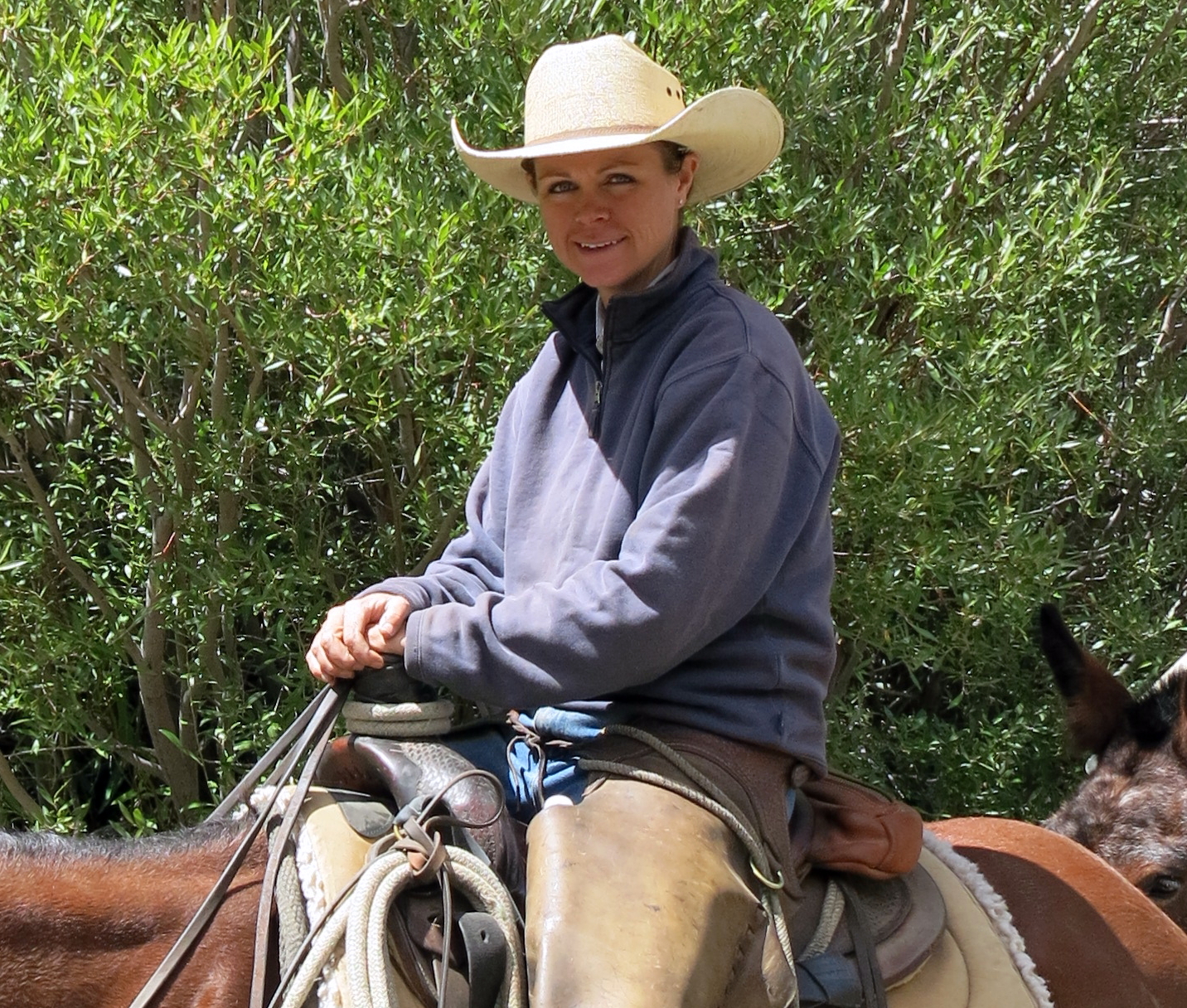
pack train coming downhill |
 |
||
 |
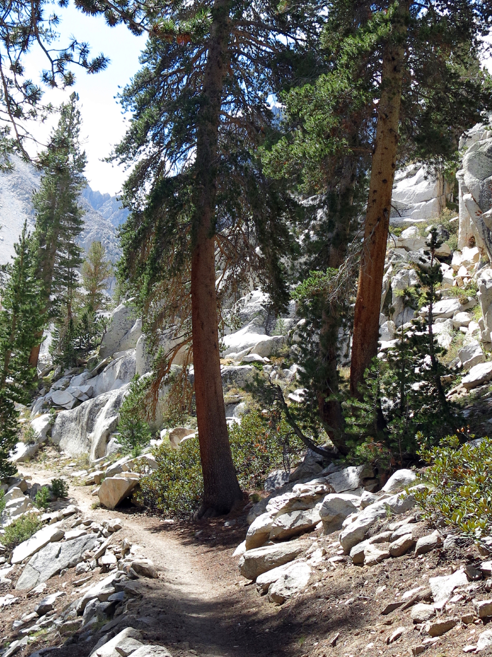 |
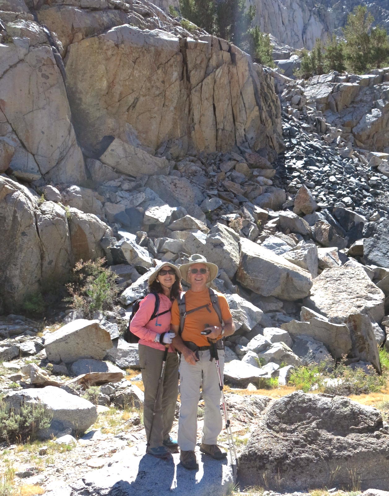
in the rock garden | |||
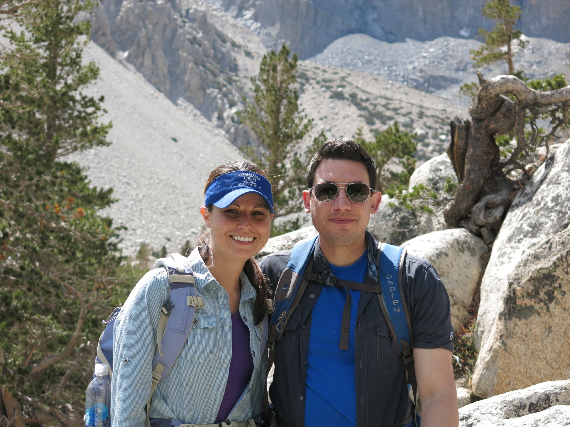 |
Victoria & Patrick |
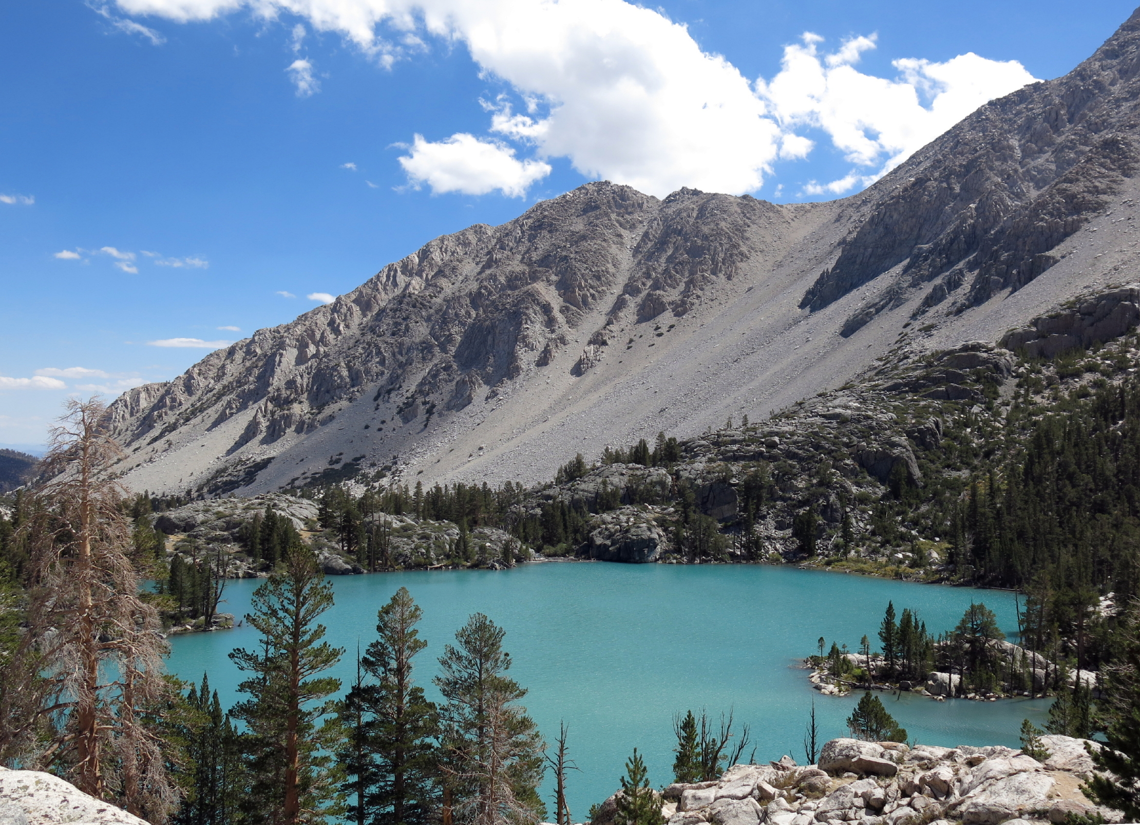 |
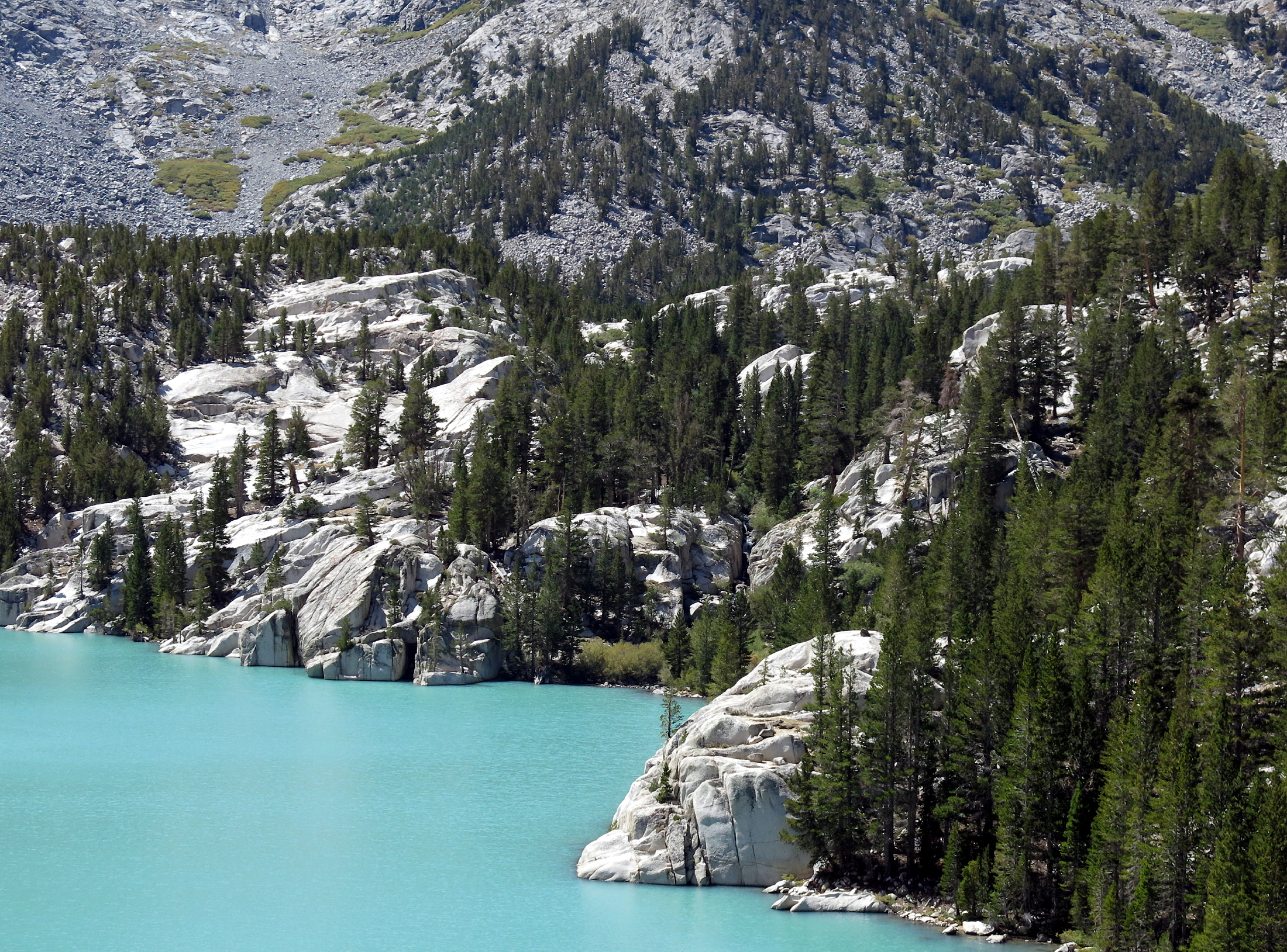
Second Lake with 'glacial milk' |
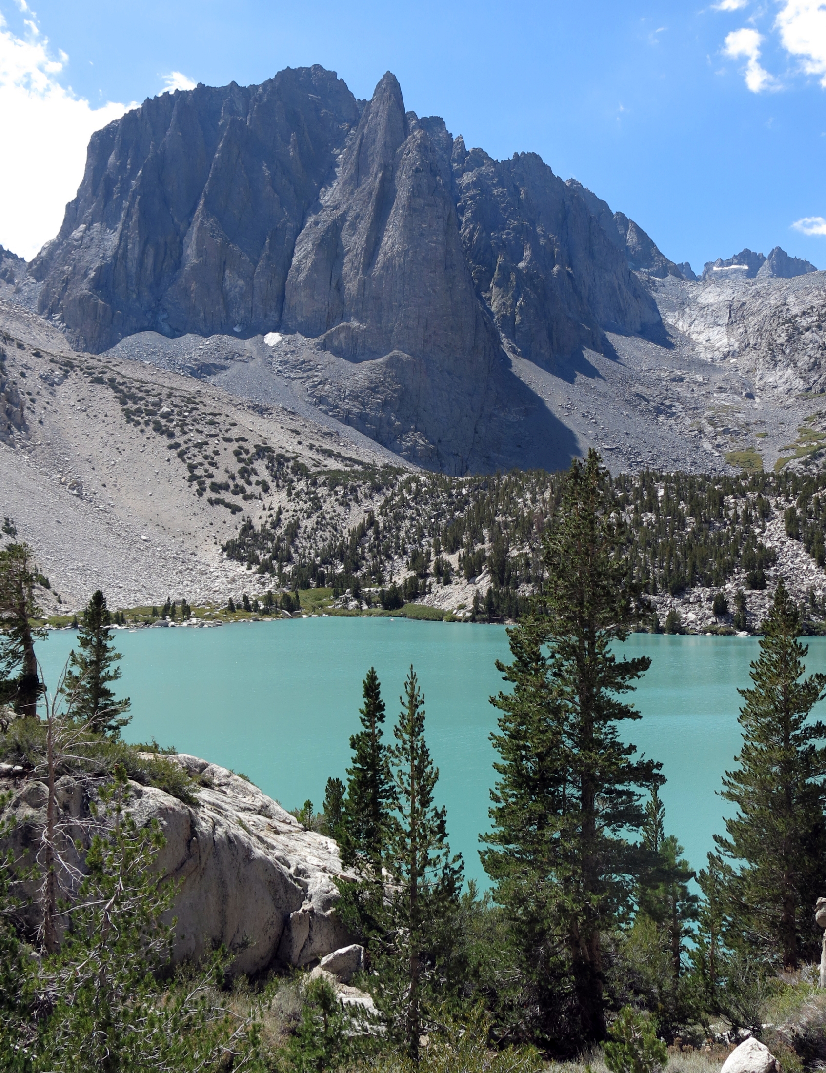 |
Temple Crag at 12,819 ft. |
 |
the lake is at 10,000 ft. |
 |
downhill walk | ||
 |
 |
 |
Big Pine Creek | ||
 |
Linda & Rich |
 |
back at camp |
Glacial milk is caused by very fine particles of rock, ground down by the immense weight of glaciers, so small they won't settle, and remain suspended in a lake, often giving this turquoise look. I had not encountered this before.
The walk was 9.5 miles round trip with 2,300+ ft. of gain, a long day out, and we were back by 4 pm.
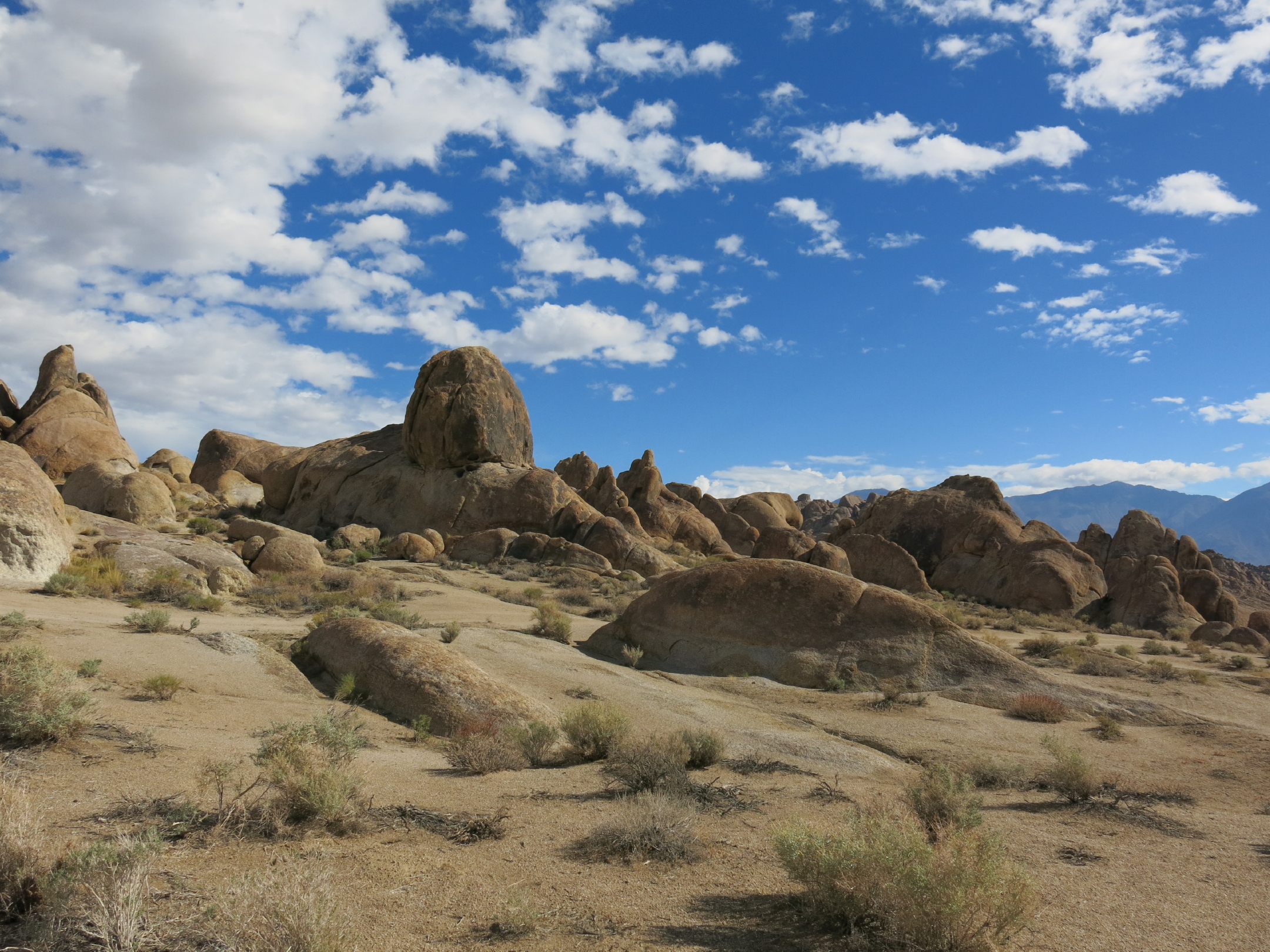
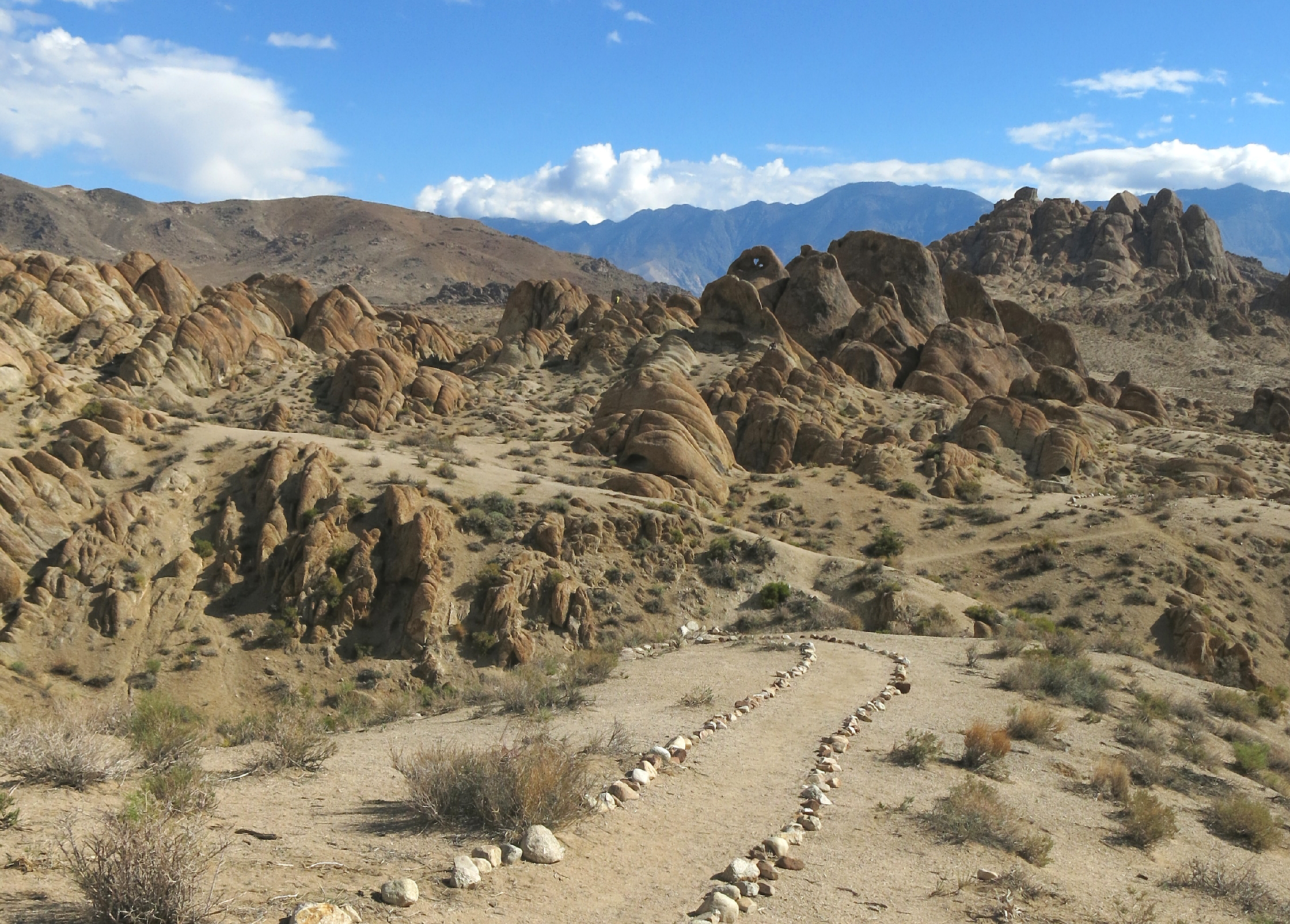
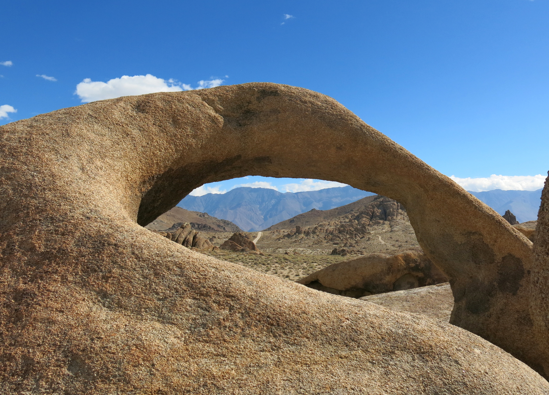
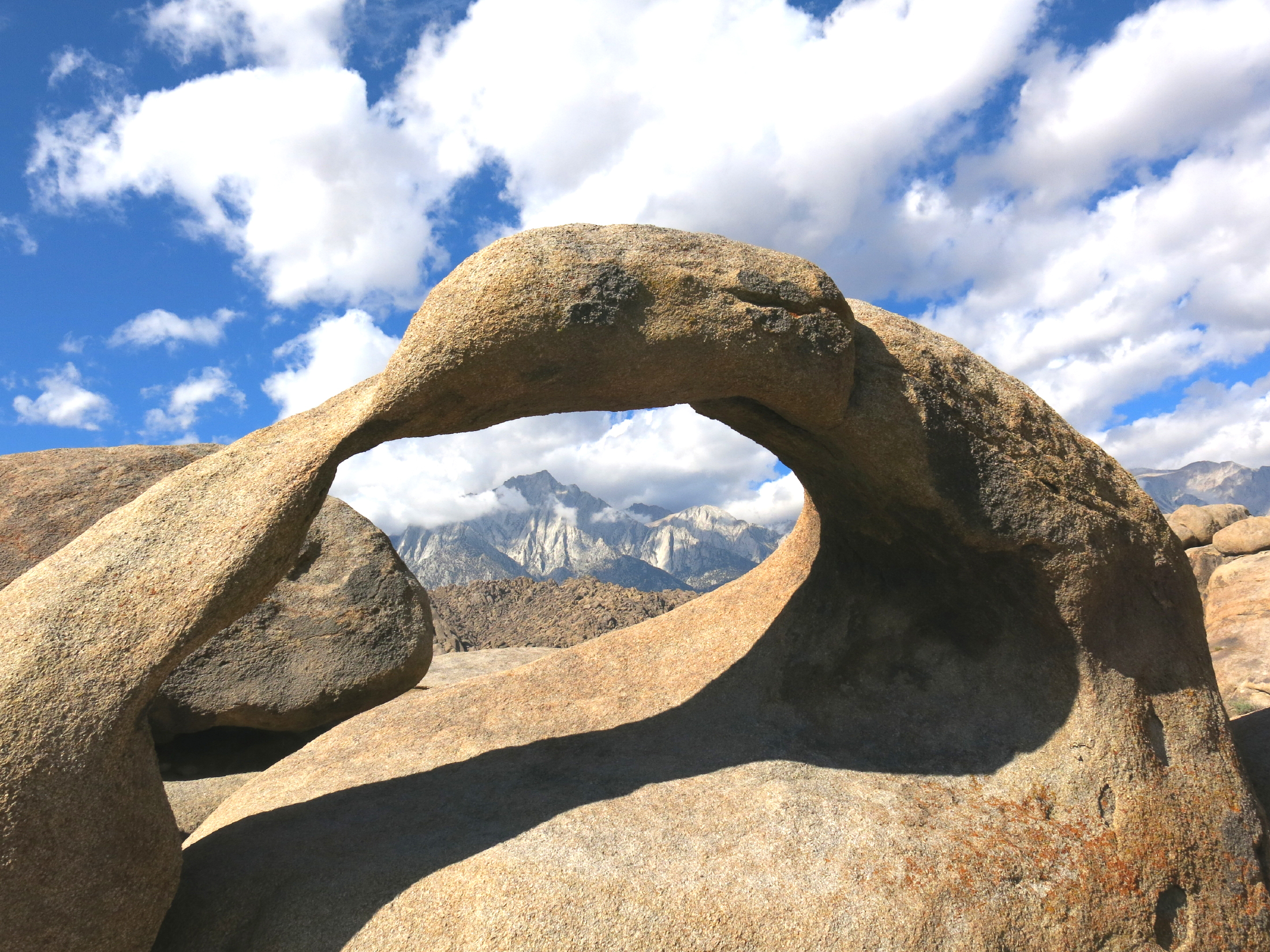
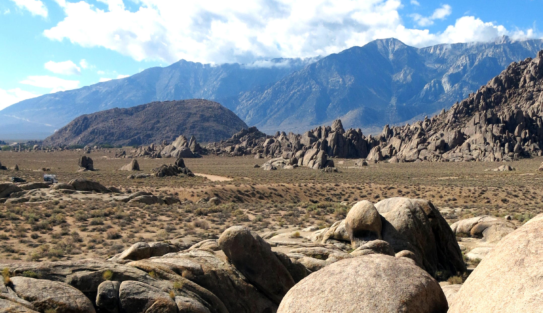
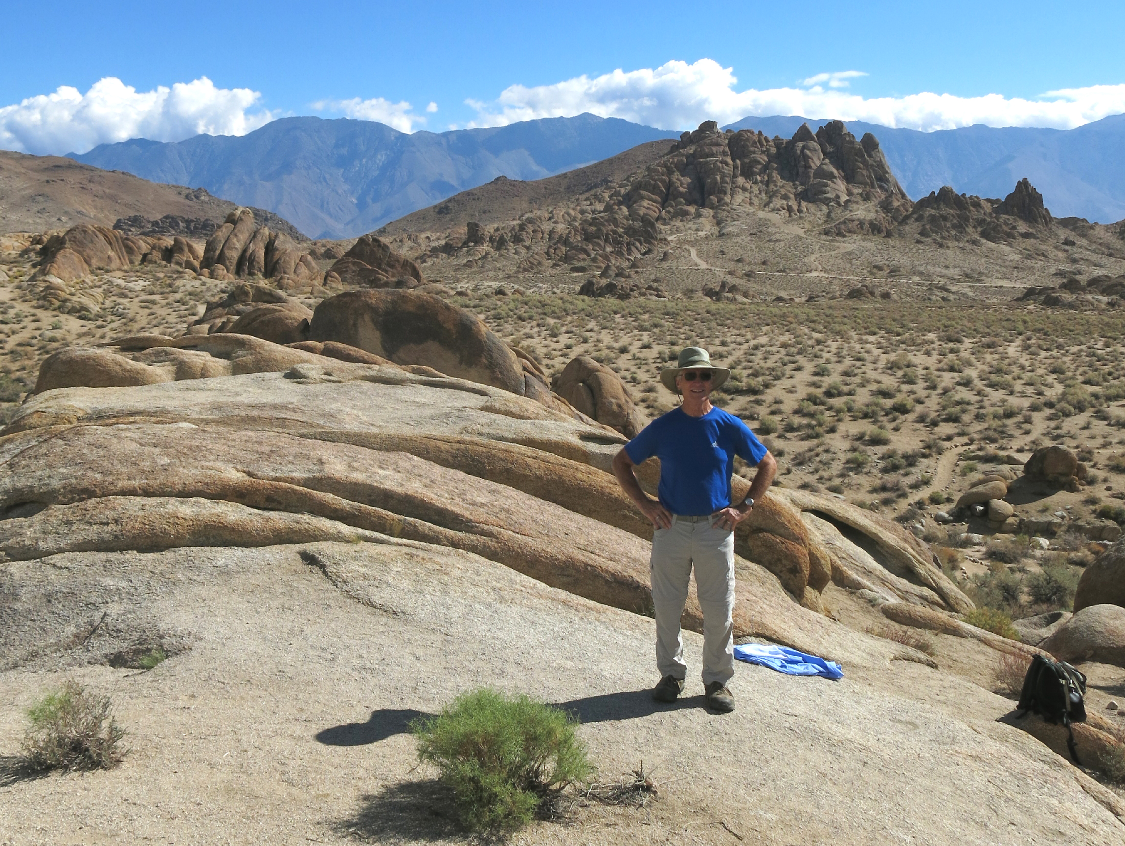
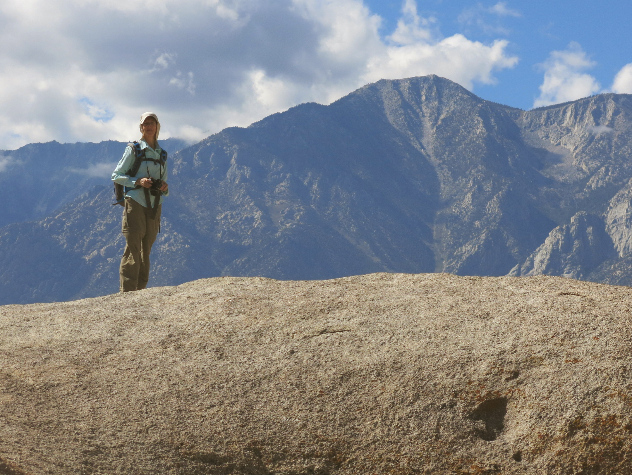
On our second day out, we ventured south on hwy 395 to the Alabama Hills, at Lone Pine, much beloved by Hollywood in the 1930 & 40s when Cowboys & Indian movies were made here.
The original TV & Movie created "Wild West" look hills just happened to be directly below the awesome multi-face of Mt. Whitney, looming above at ~ 15,000 ft.
 |
drive south on highway 395 |
 |
great place for an ambush ! |
 |
|
 |
 |
Mt. Whitney |
 |
||
 |
Rich |
 |
Bonnie |
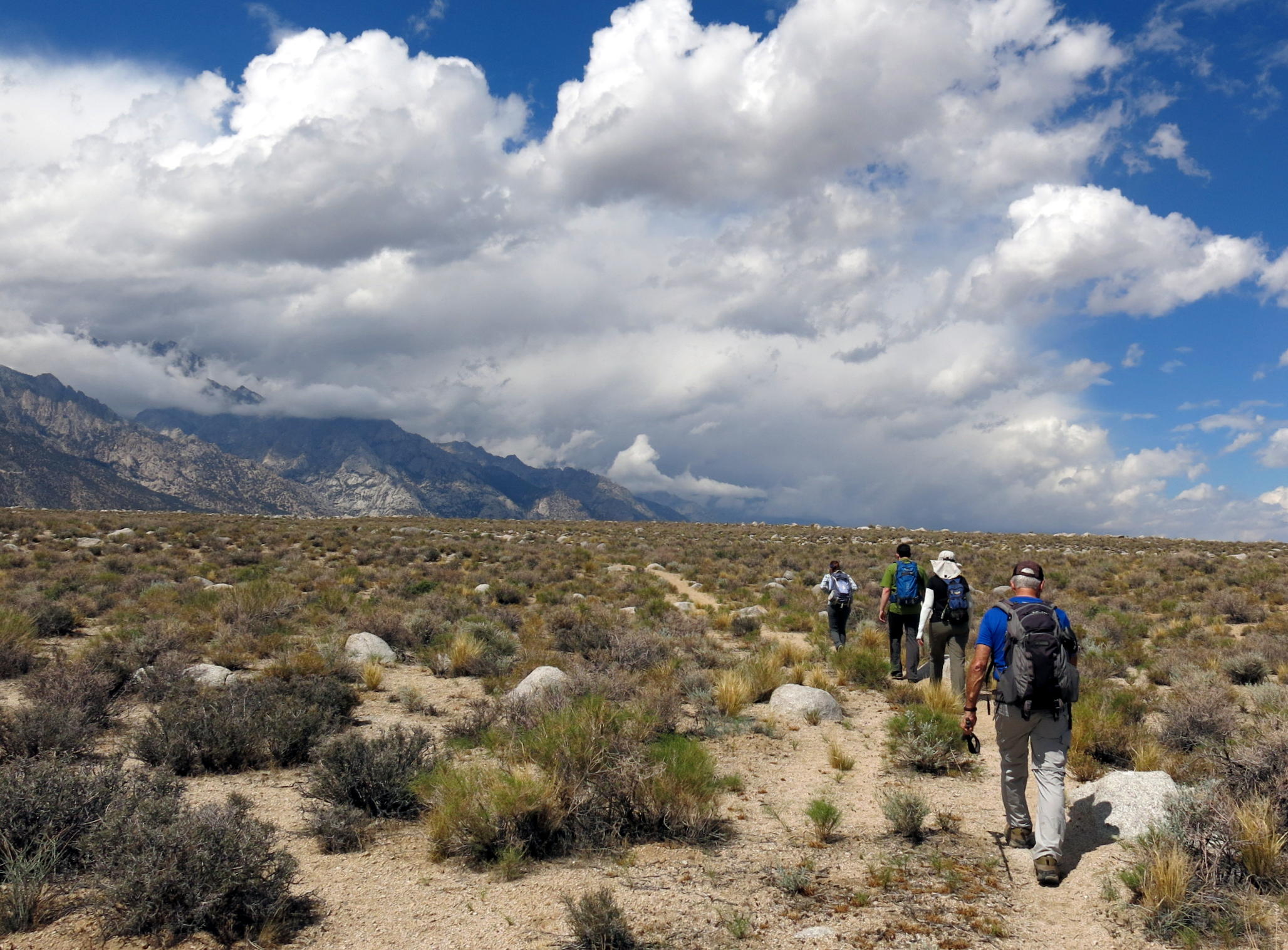 |
later we walked a few miles on the flats |
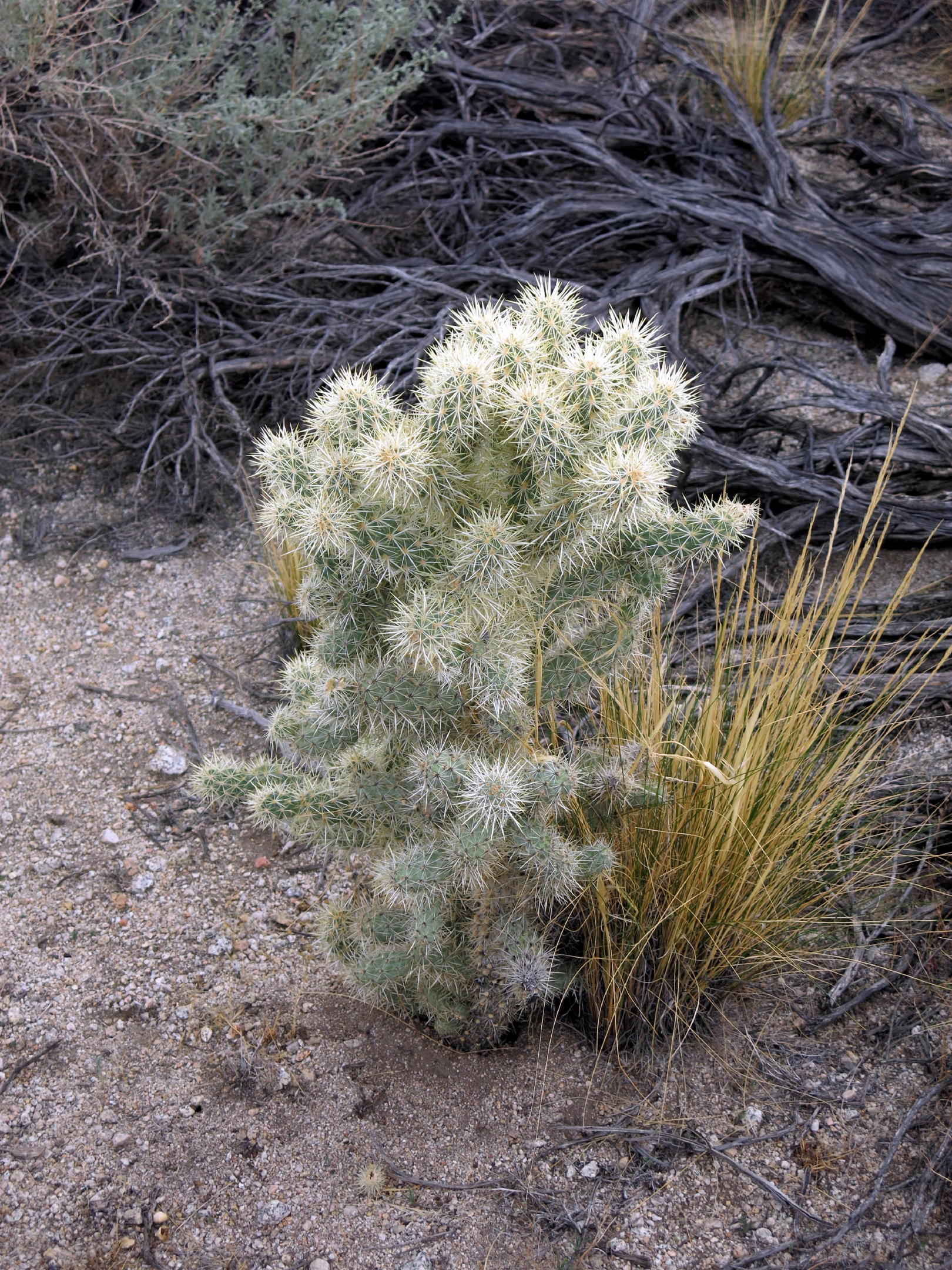 |
silver cholla |
 |
Great Basin sage | ||
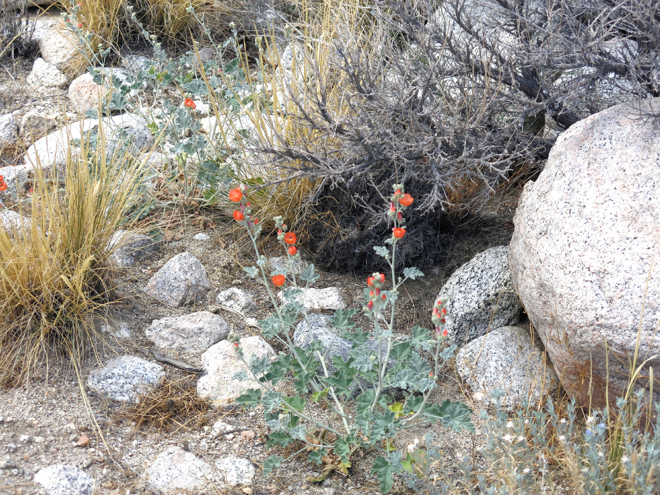 |
apricot mallow |
 |
see note |
note - After the stop at Alabama Hills, we did other things on the afternoon, like visit a Hollywood Movie Museum in Lone Pine, and, we had a brief stop at Manzanar.
Later we had dinner at the Still Life Cafe, a French restaurant in 'downtown' Independence, three blocks long, with few businesses still operating. The cafe has large B&W photos of American Jazz musicians, and of course only jazz is playing. The food was great and a few of us had enjoyed dinner here before, 7 years earlier.
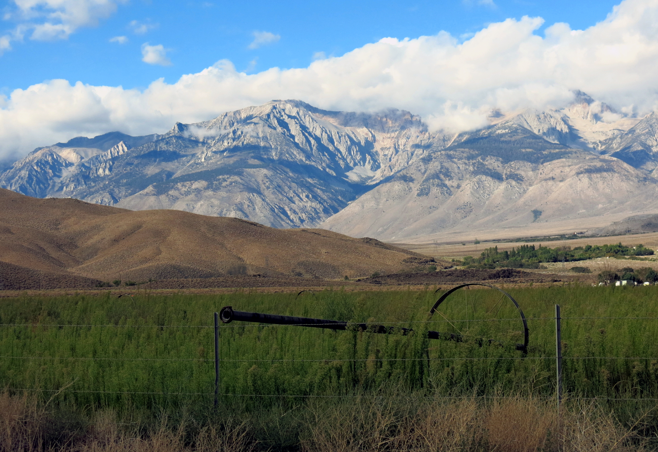
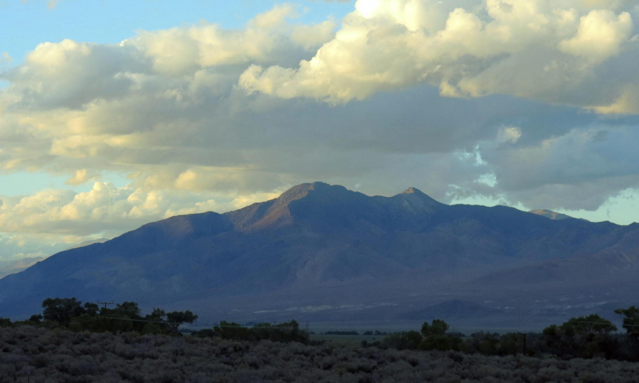
The photo - on the drive north on 395, back to Glacier Lodge, we saw the last rays of sunlight on White Mountain, to our right.
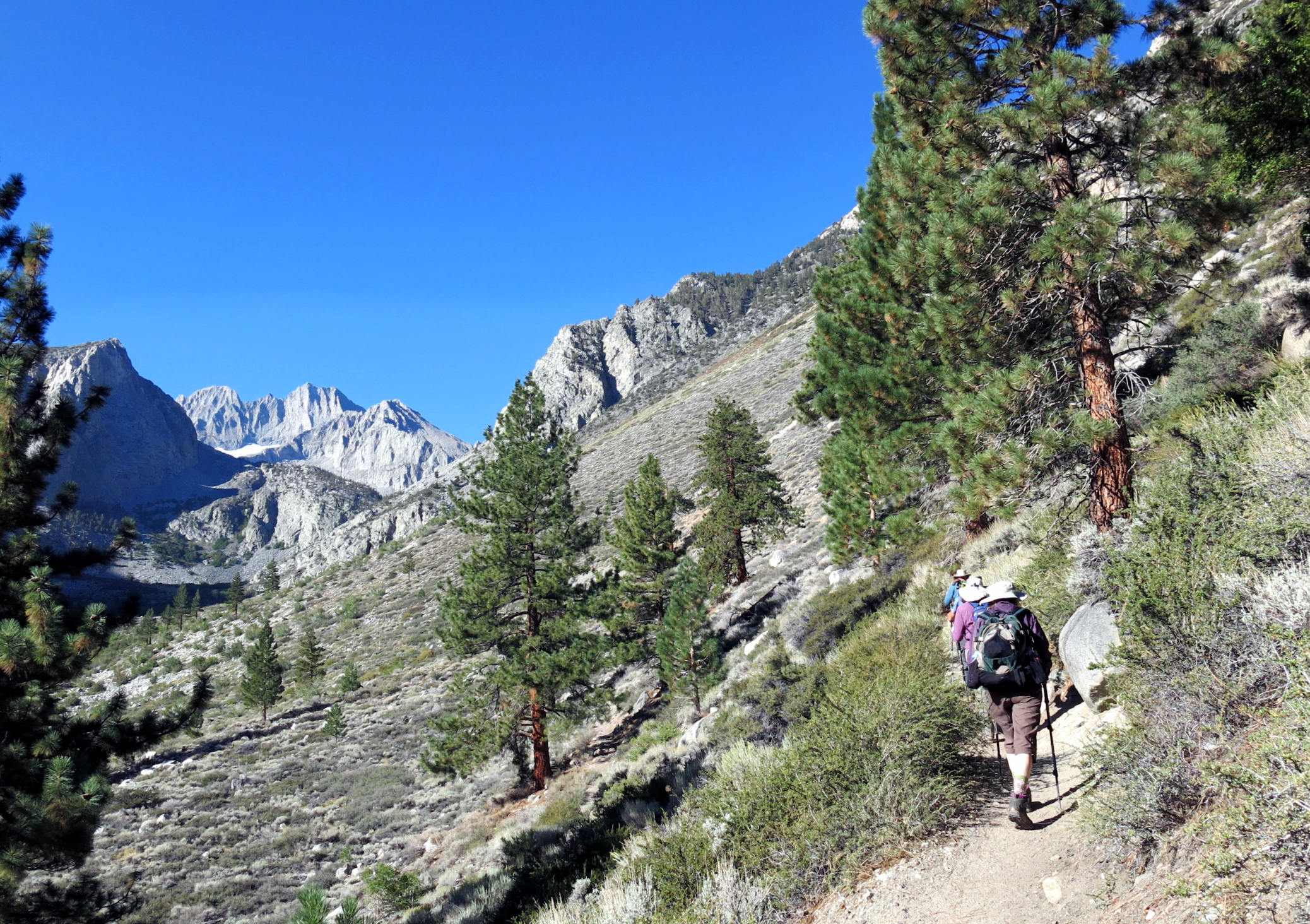
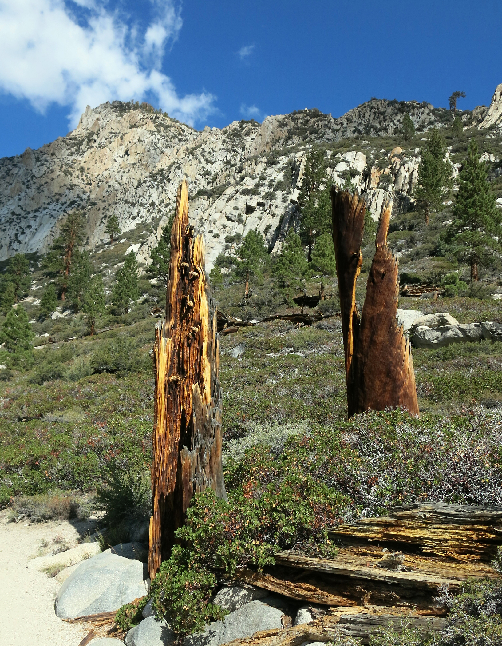
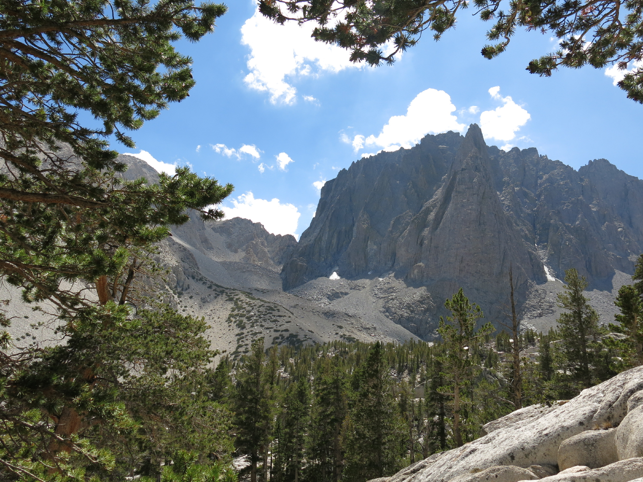
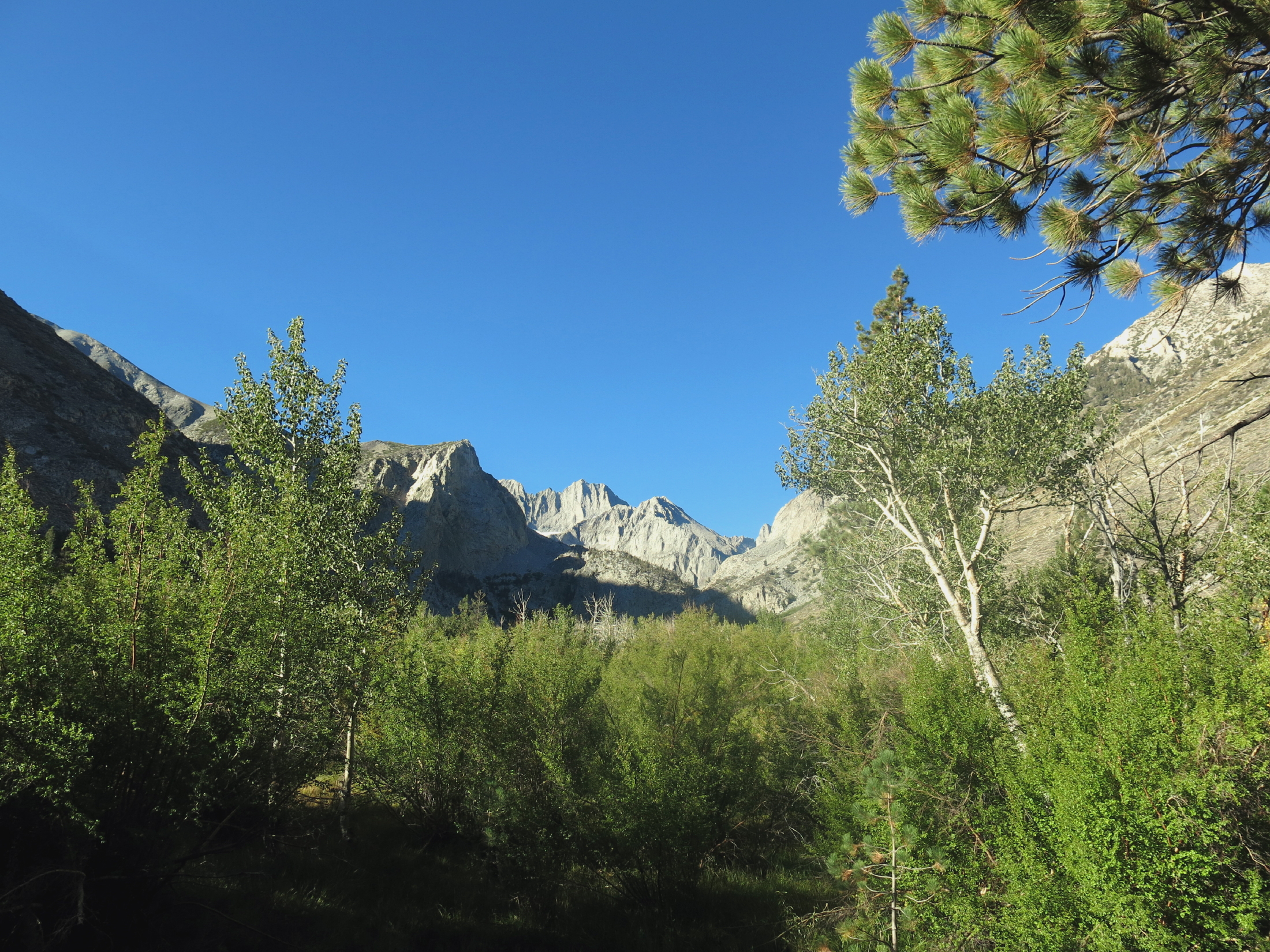
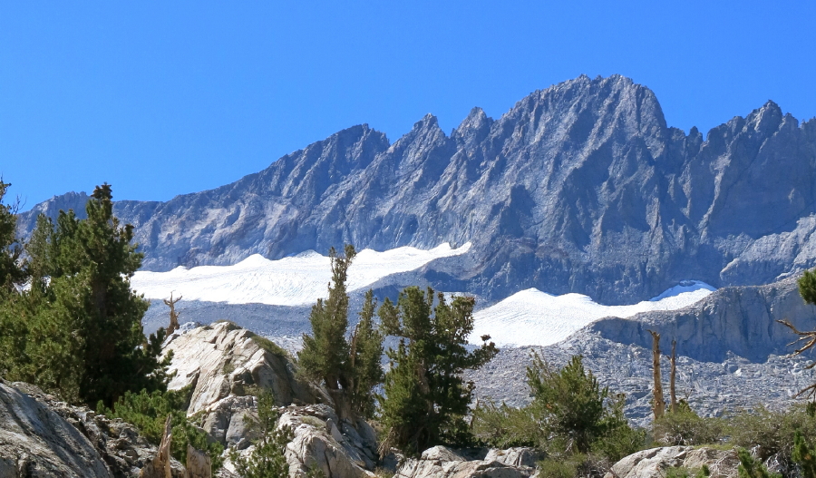
On the third hike, Glacier Lodge to Brainerd Lake, we walked many extended uphill sections to find a good view of the Middle Palisade Glacier.
From AllTrails: "Sheltered below the jagged crest of the Palisades, the Sierra's largest collection of glaciers provides a magnificent alpine backdrop to this rugged Eastern Sierra Canyon."
 |
 |
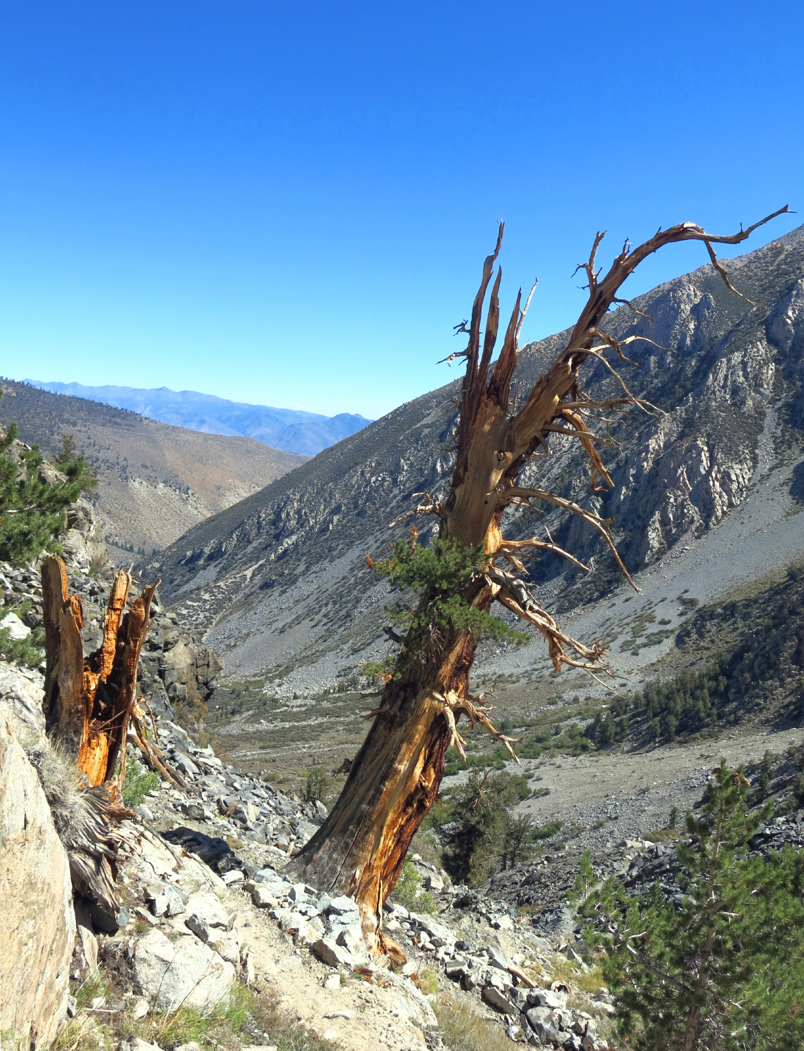 |
still alive | ||
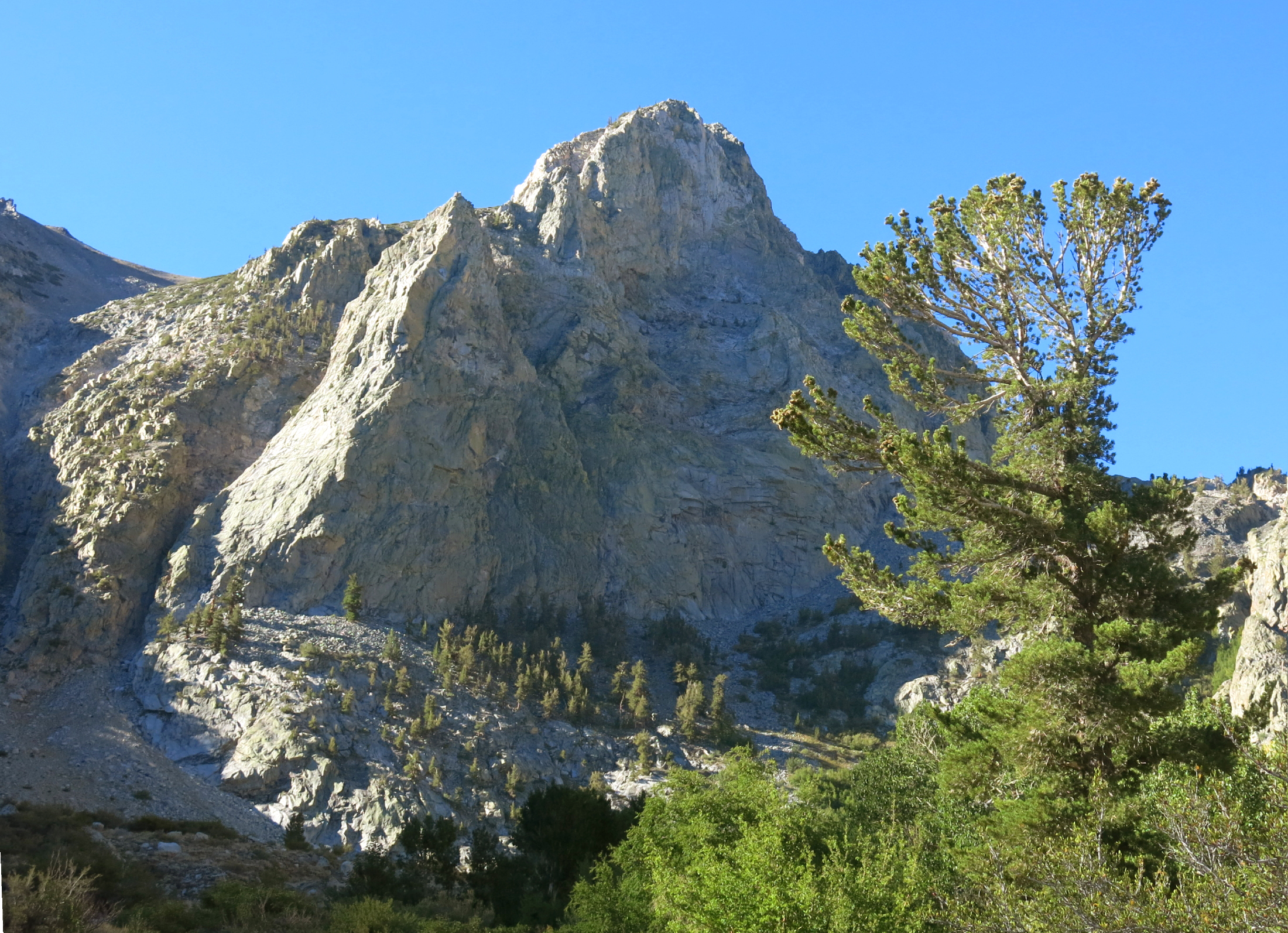 |
rock face |
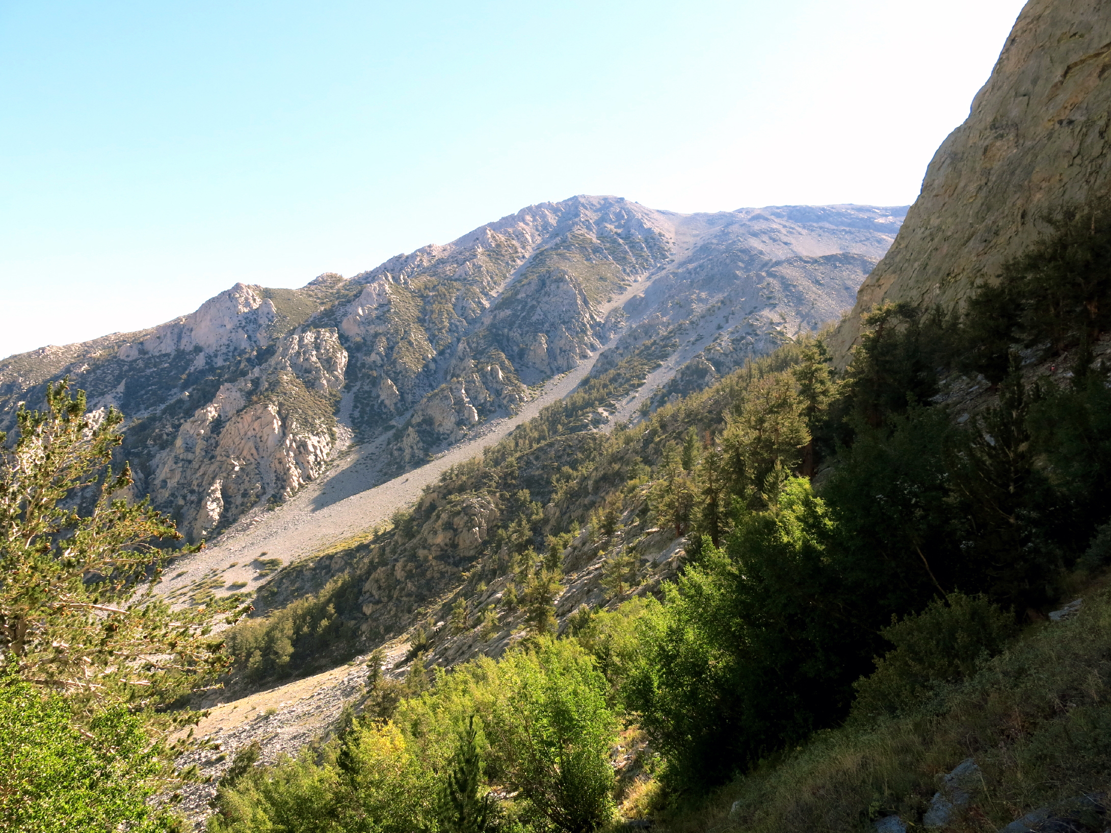 |
gaining elevation | ||
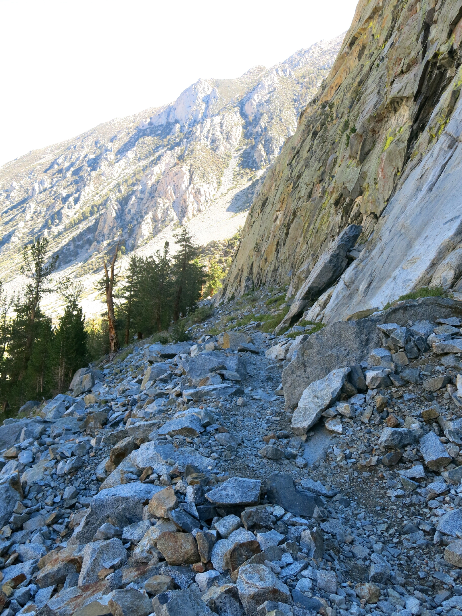 |
under the rock face, looking behind |
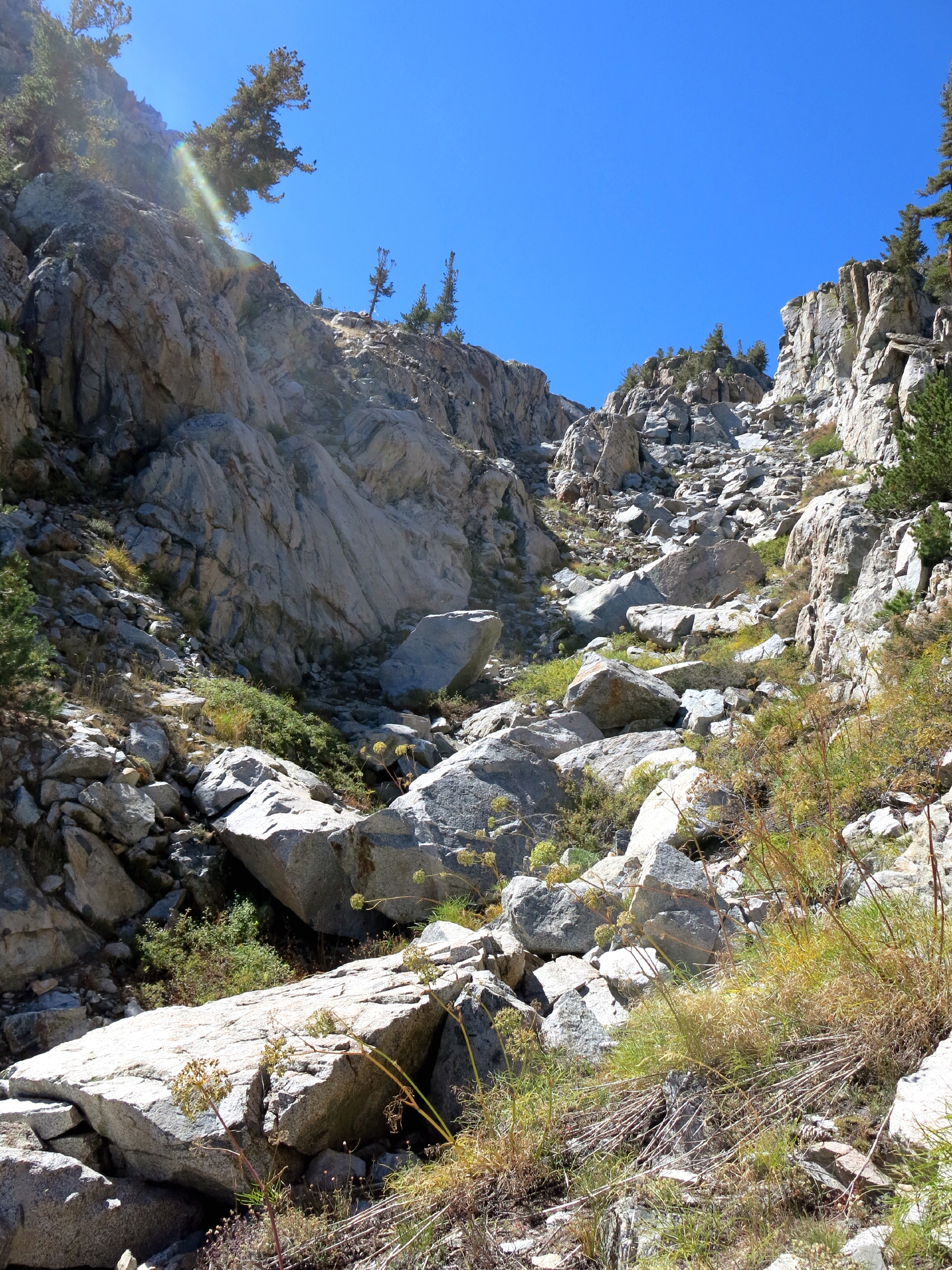 |
there is a trail here |
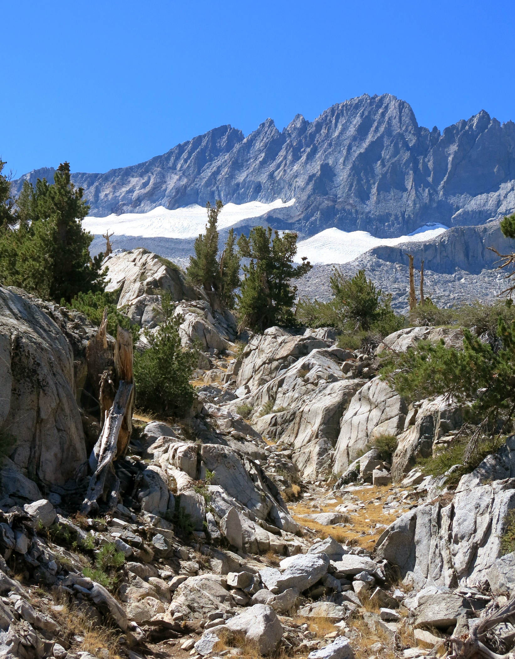 |
view of Glaciers from 10,400 ft. |
 |
see note |
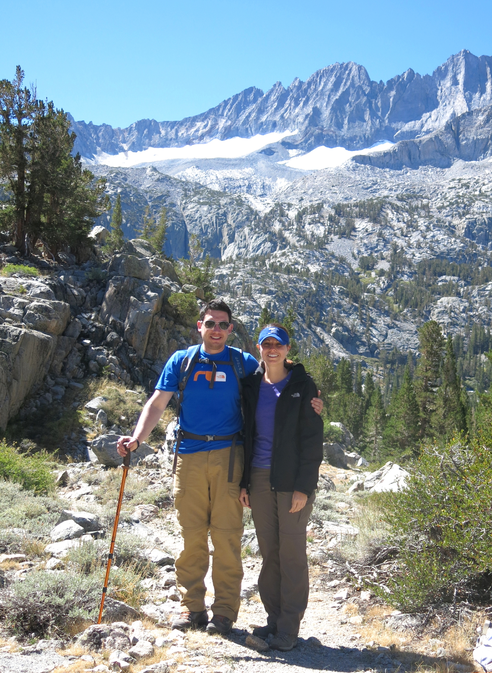 |
Patrick and Victoria | ||
 |
Rich and Linda |
 |
 |
heading down, under the rock face | |
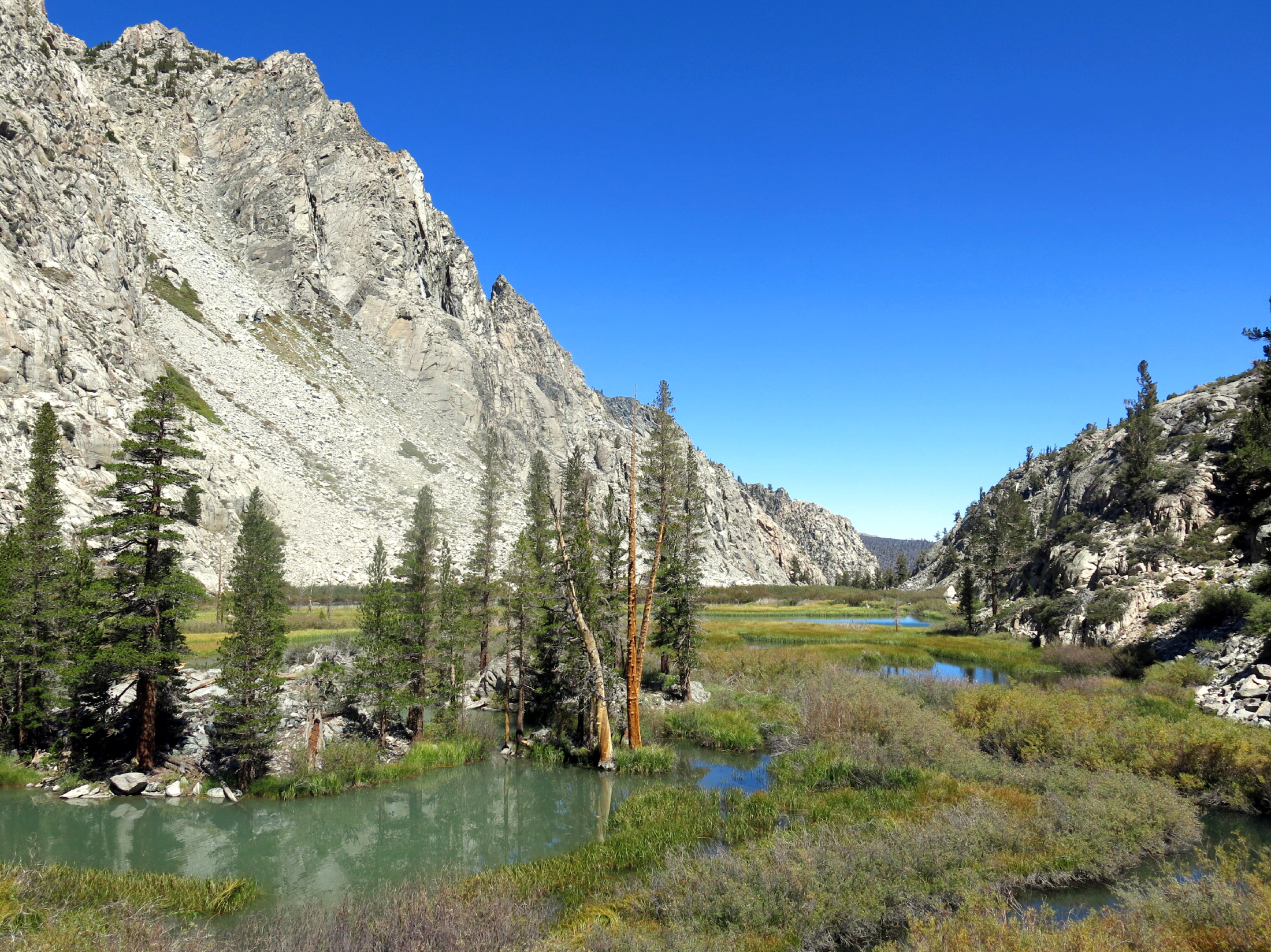 |
high altitude marsh |
 |
a long descent | ||
 |
afternoon light |
 |
back at the cabins |
note - two prominent peaks near the center are Palisade Peak at 13,324 ft., and Balcony Peak at 13,896 ft.
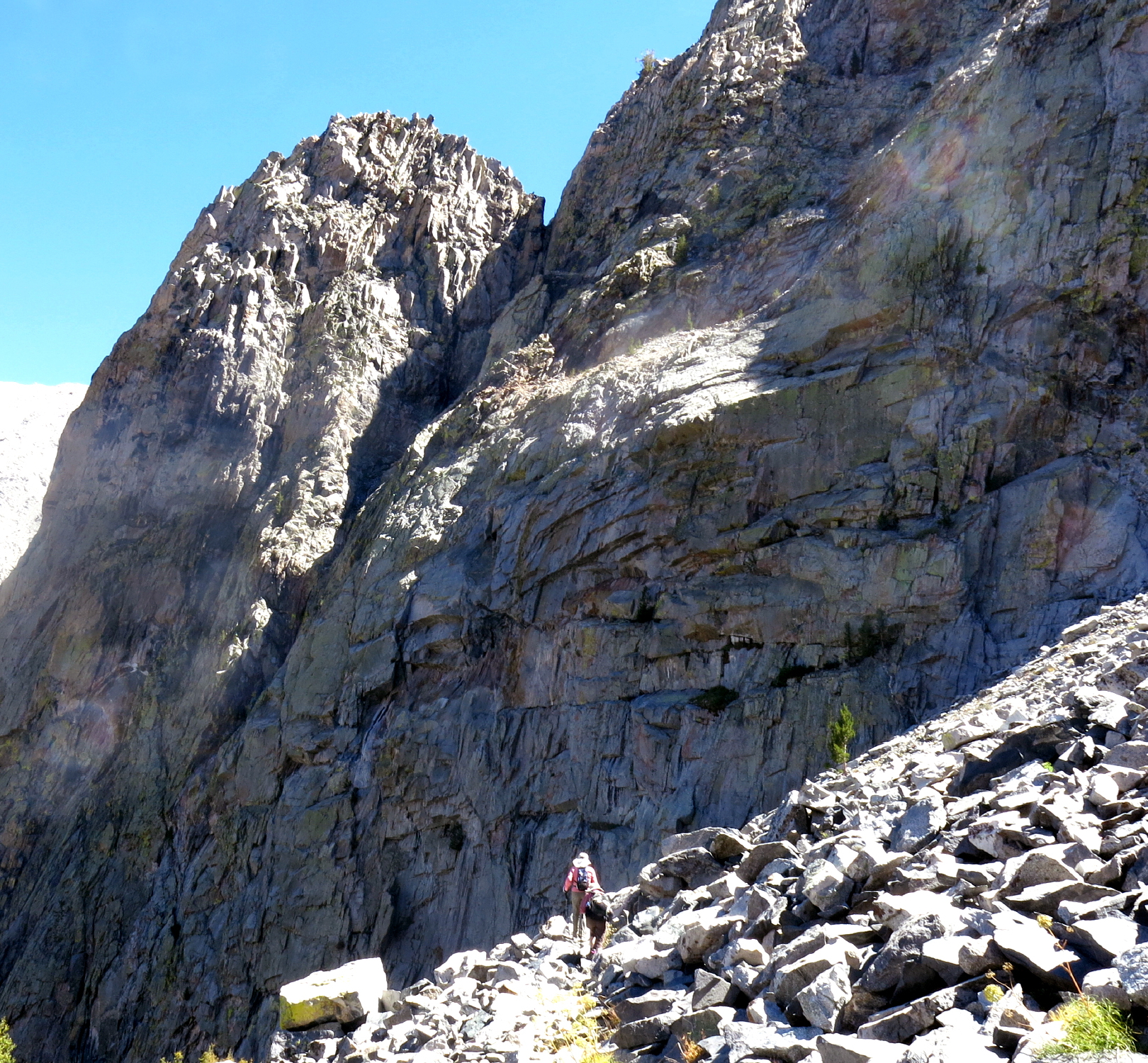
This was a long & satisfying hike, and walking under a vertical rock face for 30 minutes, up & back, certainly got my attention; I listened closely for the sound of a rock slide, from above, but never heard a thing.
Based on the AllTrails map of the Glacier Lodge to Brainerd Lake hike, we walked 6+ miles rt & gained 2,100 ft.
Go to next page - 2015
return to eastern sierra index
return to index