Eastern Sierra hikes - 2013
return to eastern sierra index
return to index
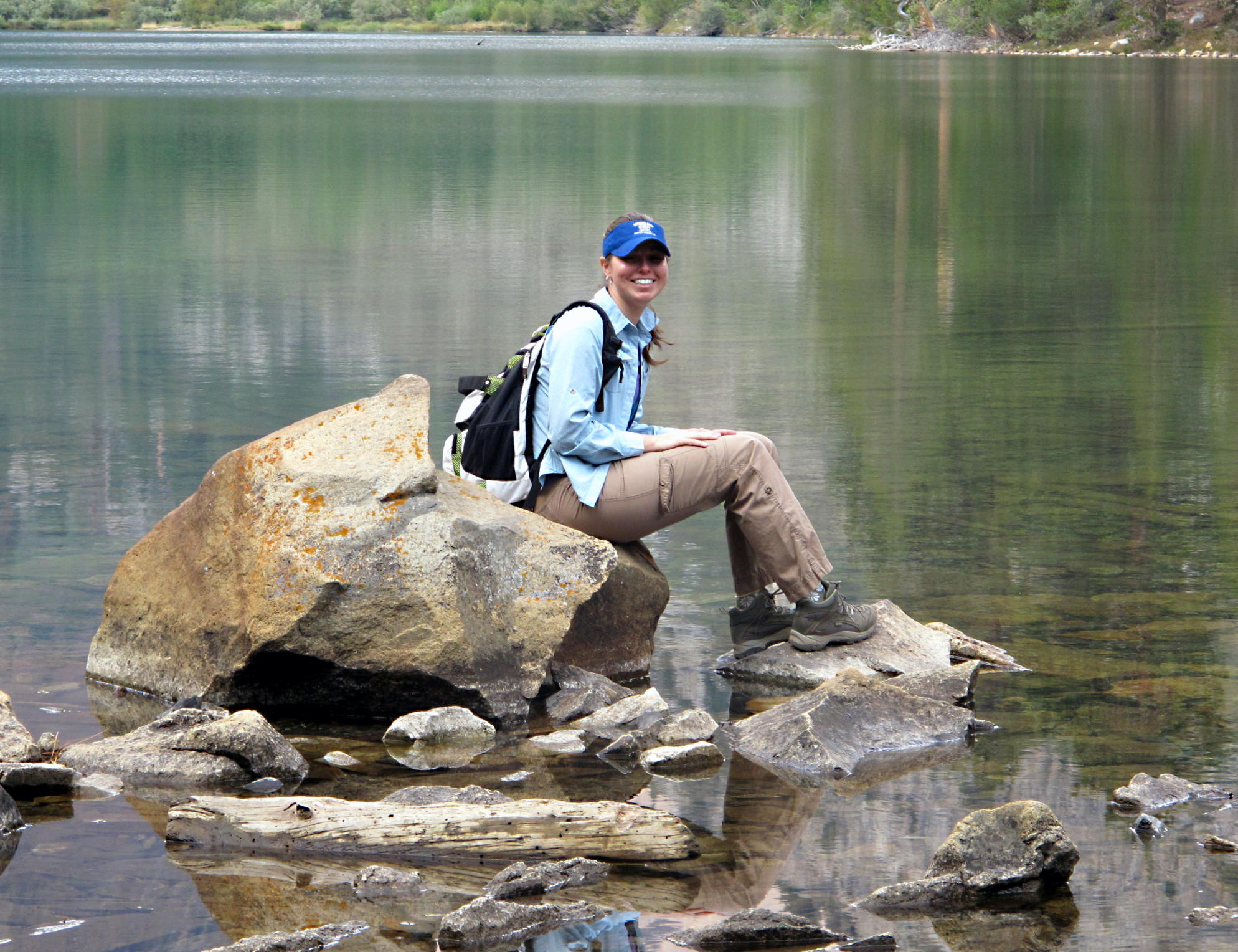
In August 2013, a small group of us moteled it for 4 nights at June Lake, Ca., a modest resort town just off 395 & not far from either Mono Lake or the east entrance to Yosemite National Park.
note - on a pc or laptop you can zoom in & and out, but not on a smartphone.
|
|
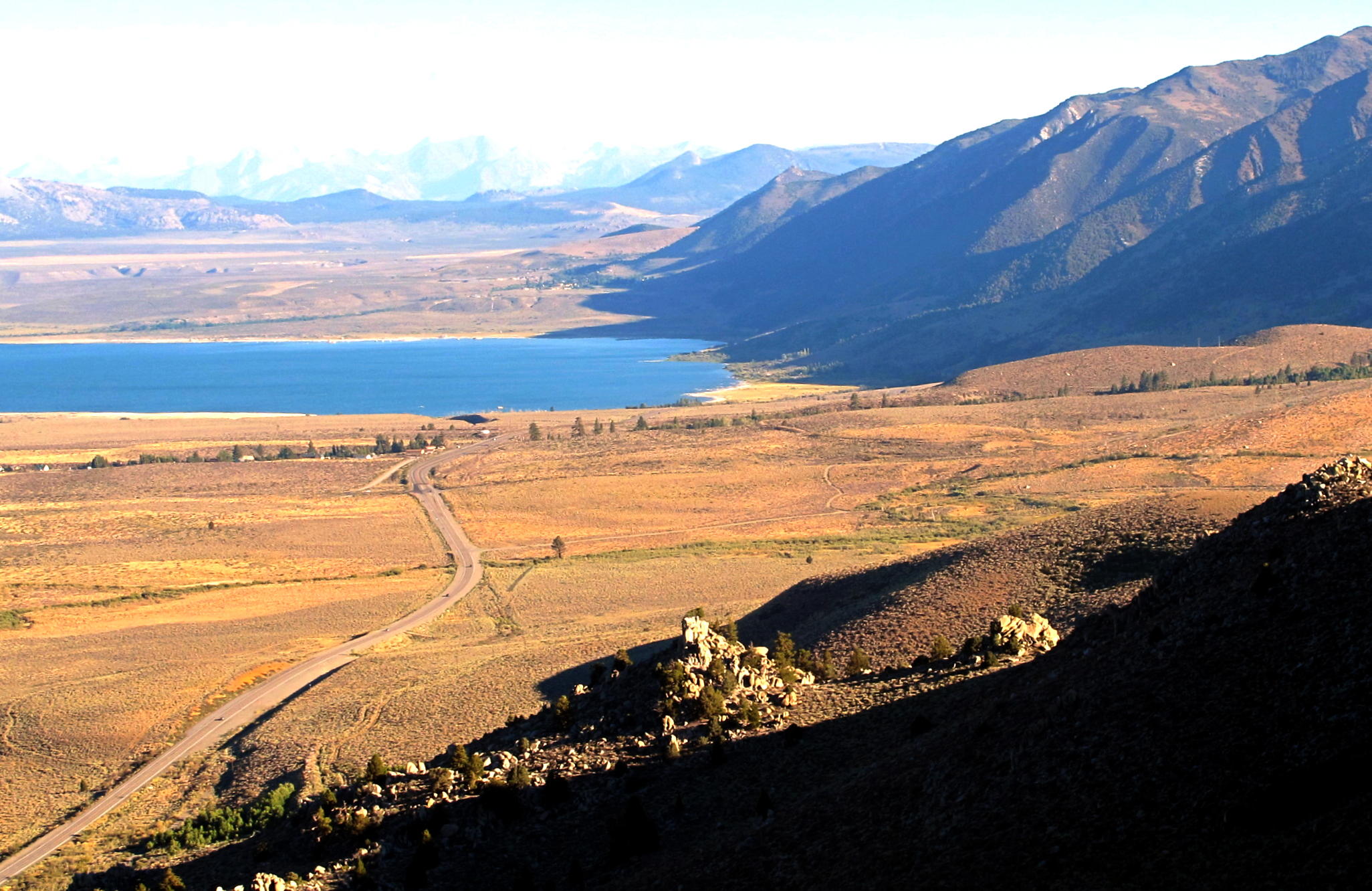
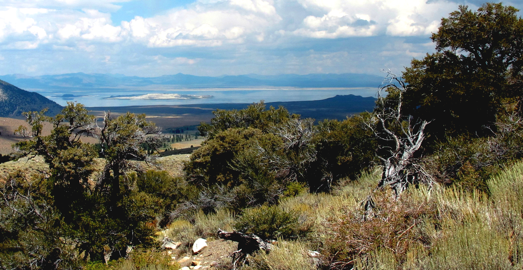
Mono Lake again |
|
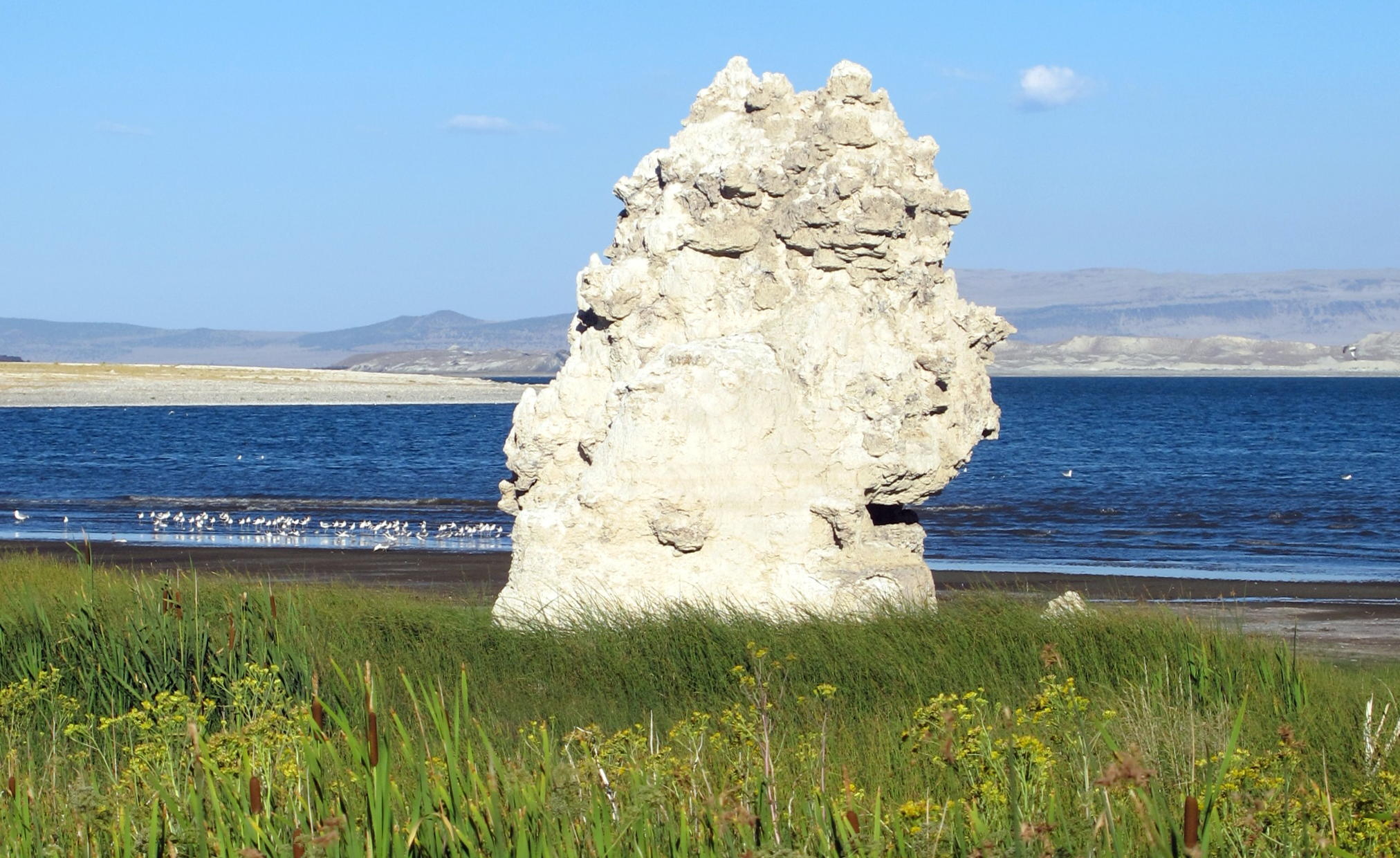
Tufa at rest stop | ||
|
|
south of Lee Vining on hwy. 395 |
|
dusk arrival at June Lake |
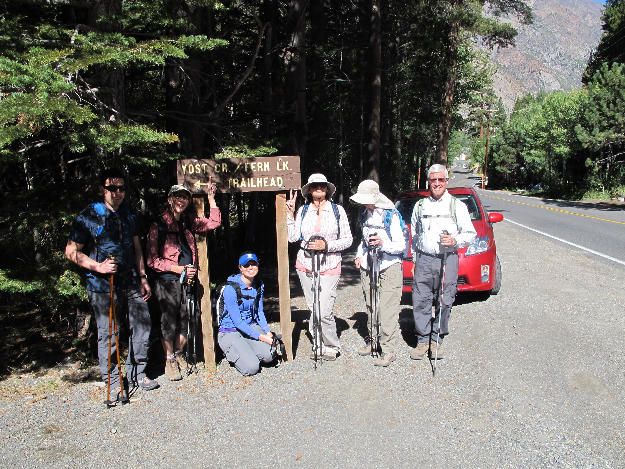
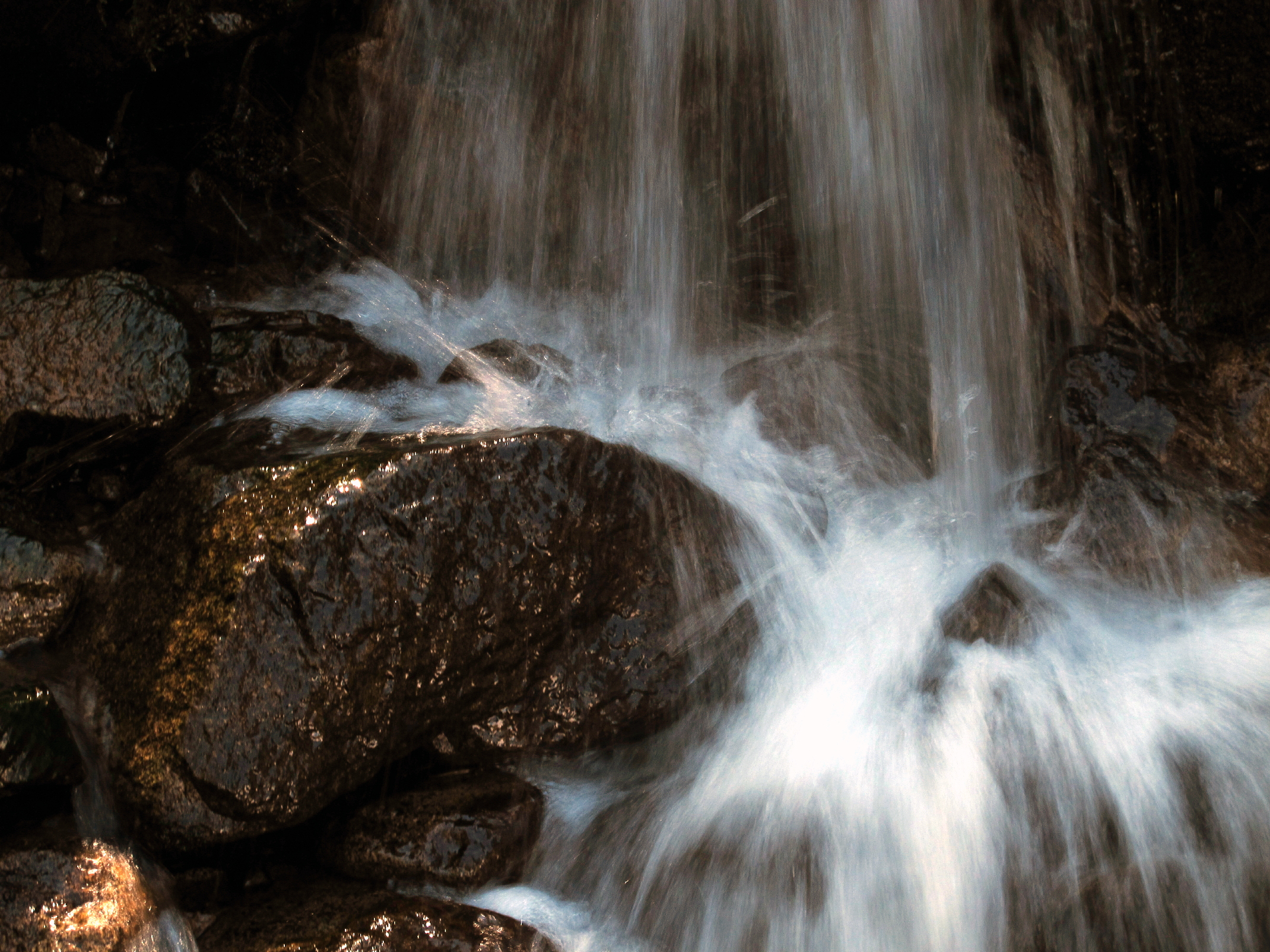
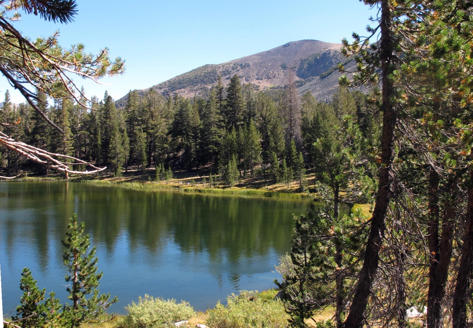
Our first walk was on the Yost Creek/Fern Lake trail that started about a mile SW of June Lake, closer to Gull Lake.
 |
trailhead, see note |
 |
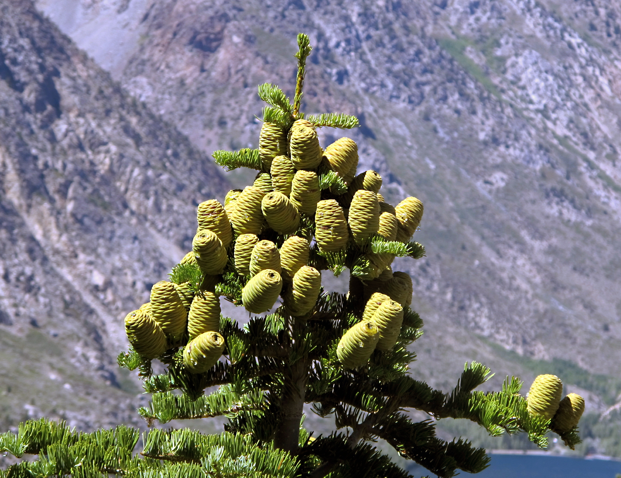 |
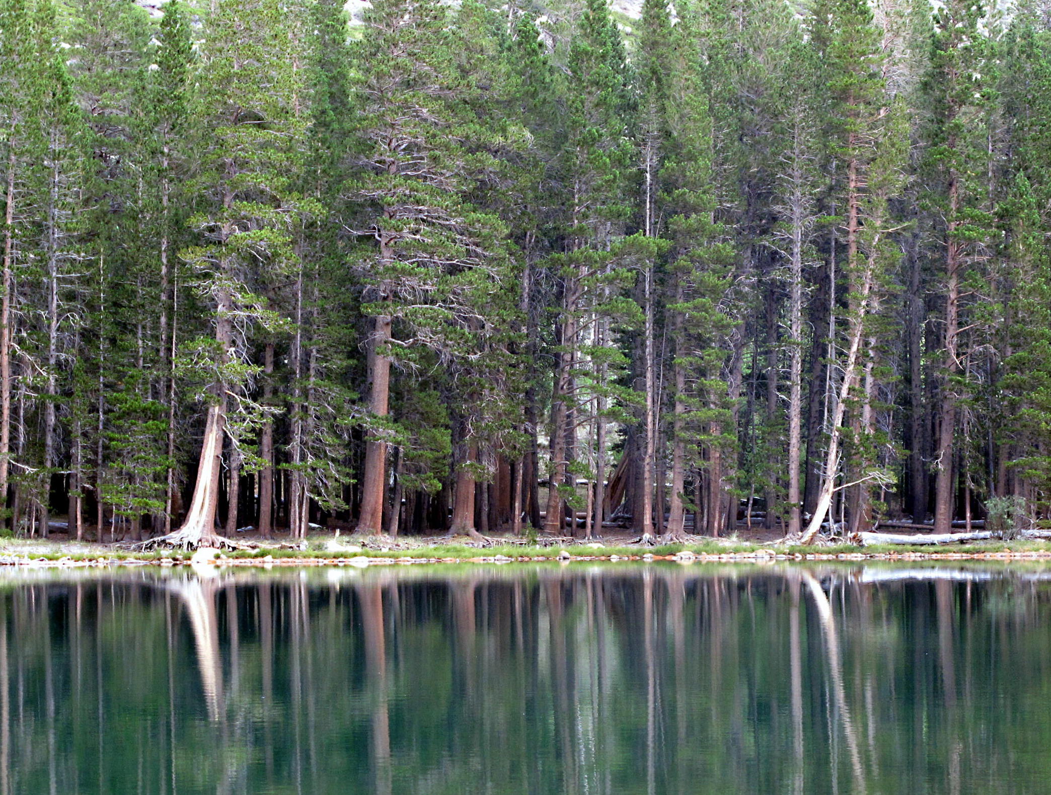
White Fir | |
 |
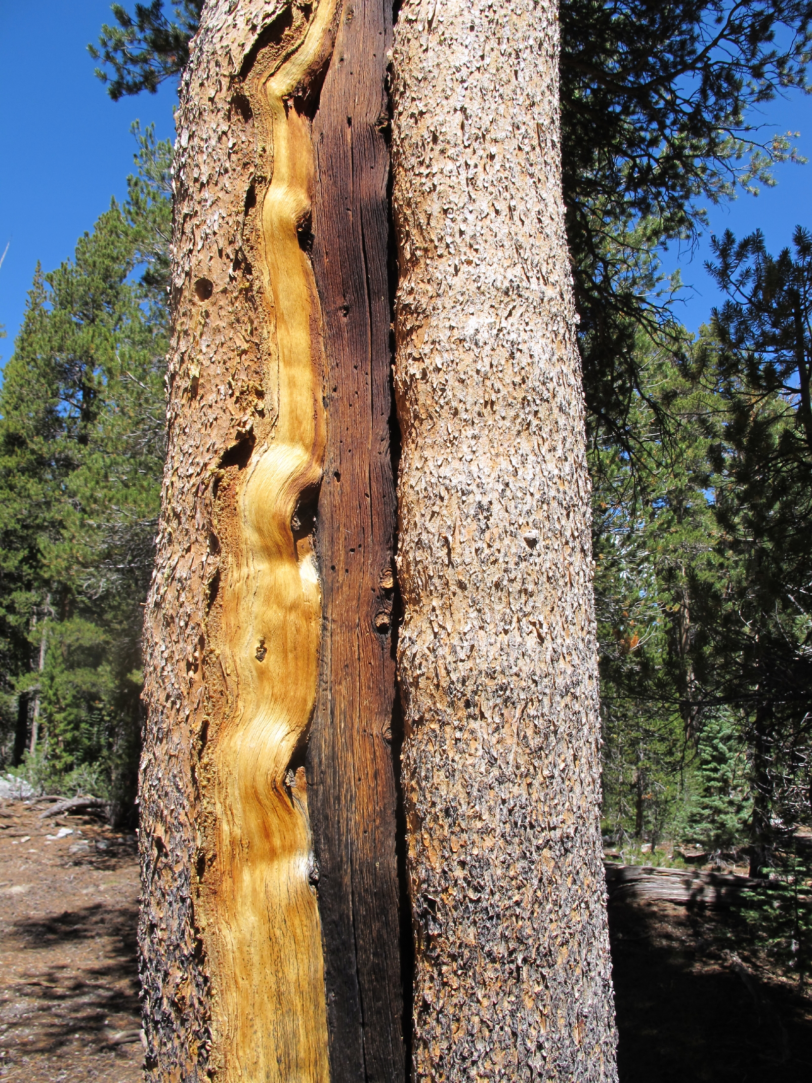 |
Lodgepole Pine |
 |
||
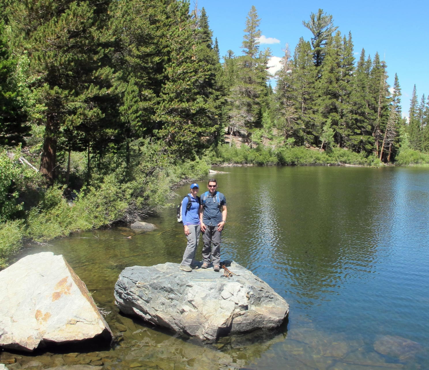 |
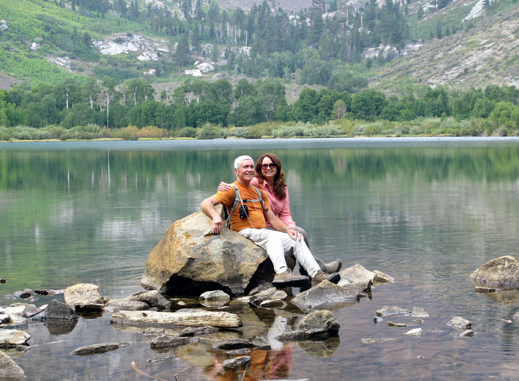
P&V at Fern Lake at 9,000 ft. |
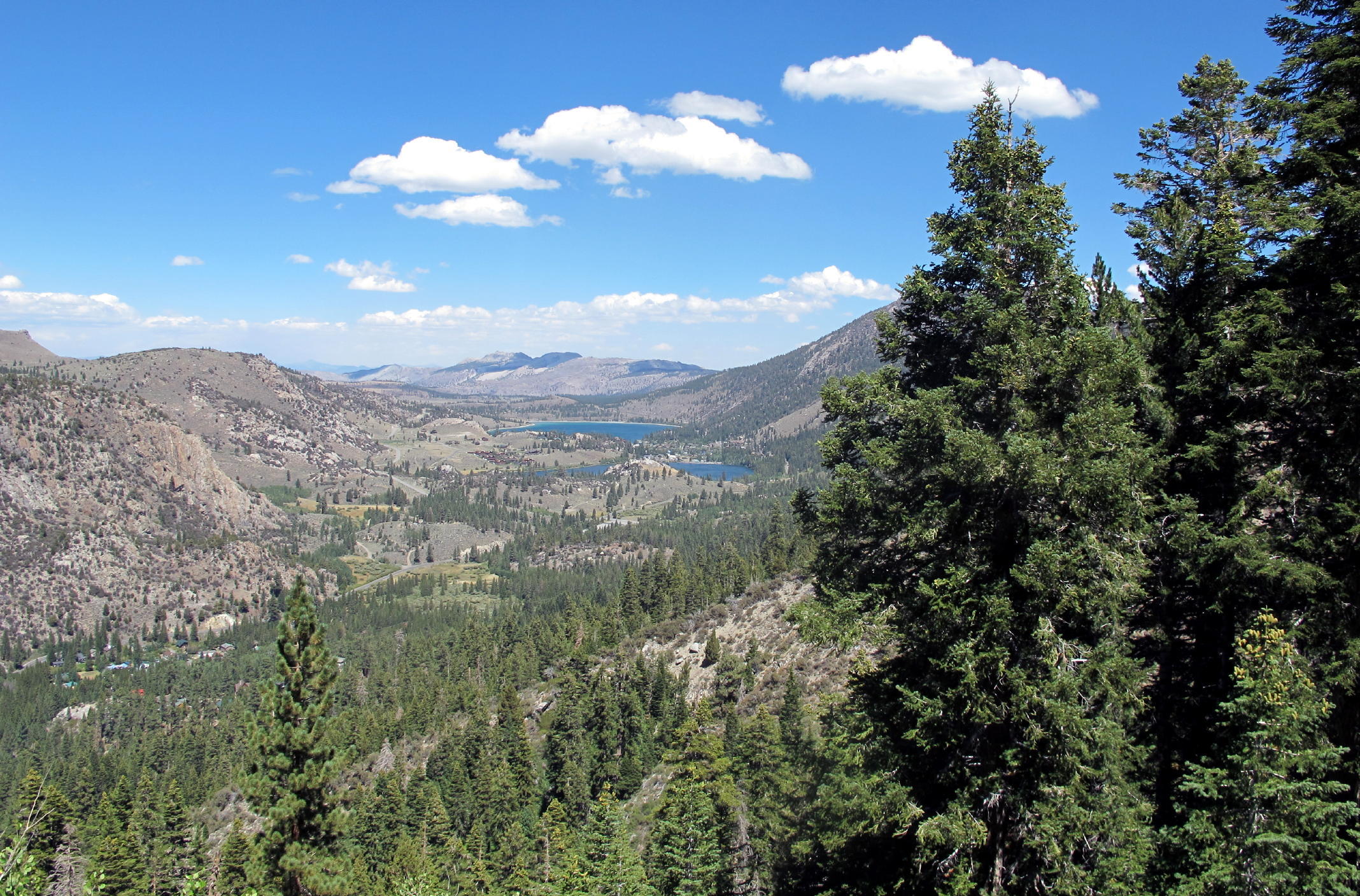 |
turnaround point view of June & Gull Lakes |
note - L to R - Patrick, Jean, Victoria, Linda, Bonnie & Rich; I took the photo.
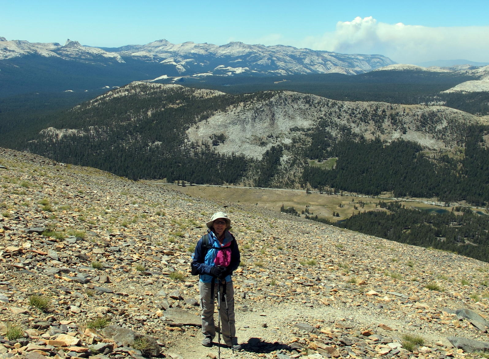
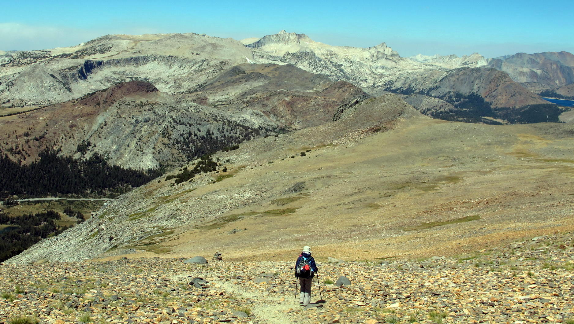
The second hike was at Mount Dana, the trailhead on hwy. 120 being just inside the east entrance to Yosemite NP. I think we saved the entry fee by parking at a lot just outside and then walking in.
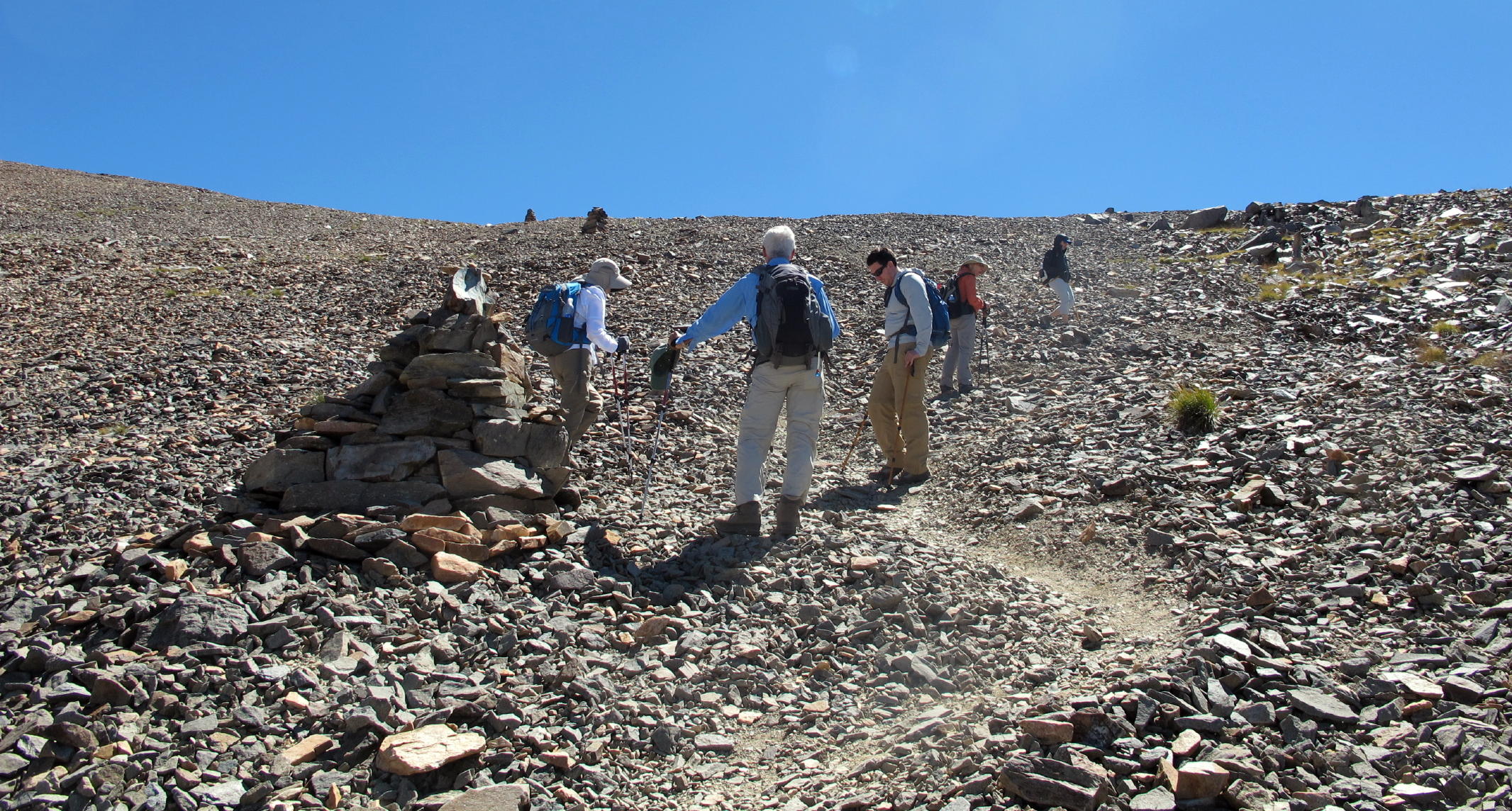
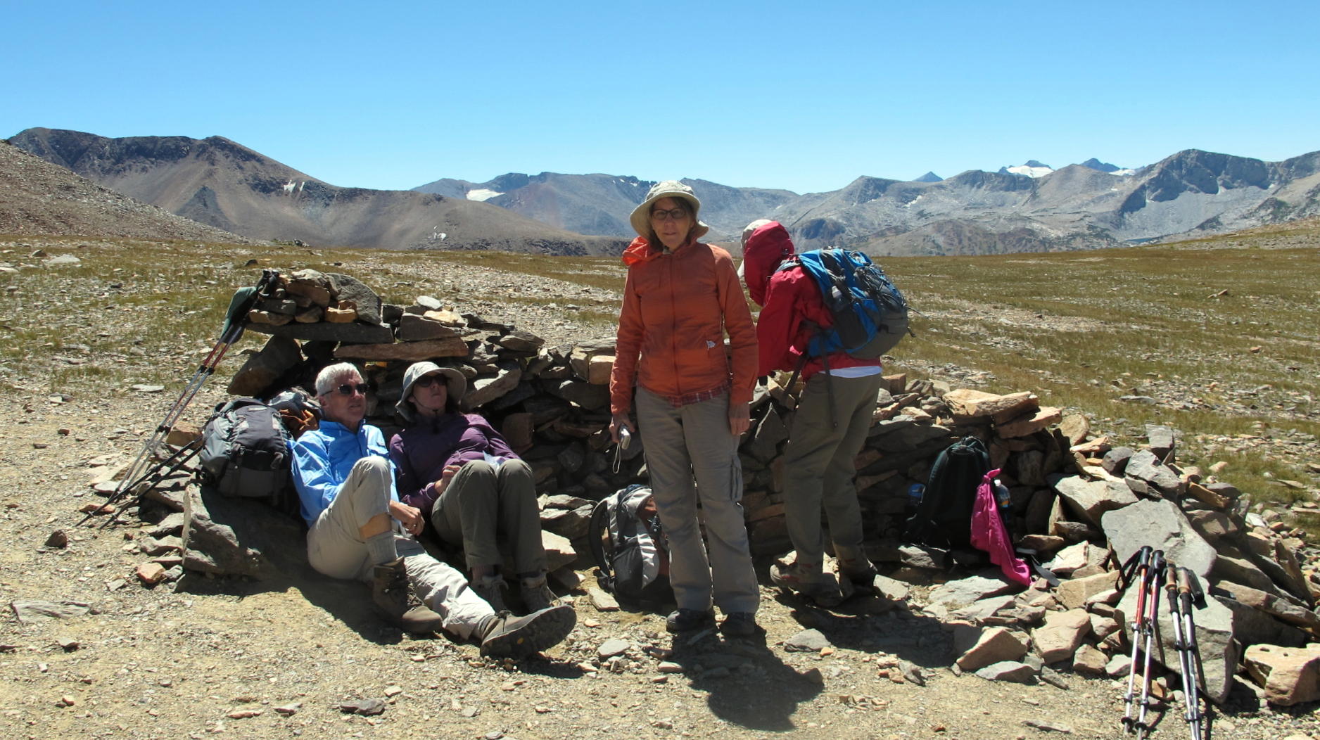
From the trailhead to the top of Mt. Dana would have been a 3000+ ft. climb & beyond us. Our goal was to walk as far uphill as we could. After about 1,500 ft. of gain, intense wind from the east made it impossible to go further.
Thankfully, previous hikers had constructed low rock walls, which provided relief.
After lunch we hiked back down.
 |
near the trailhead |
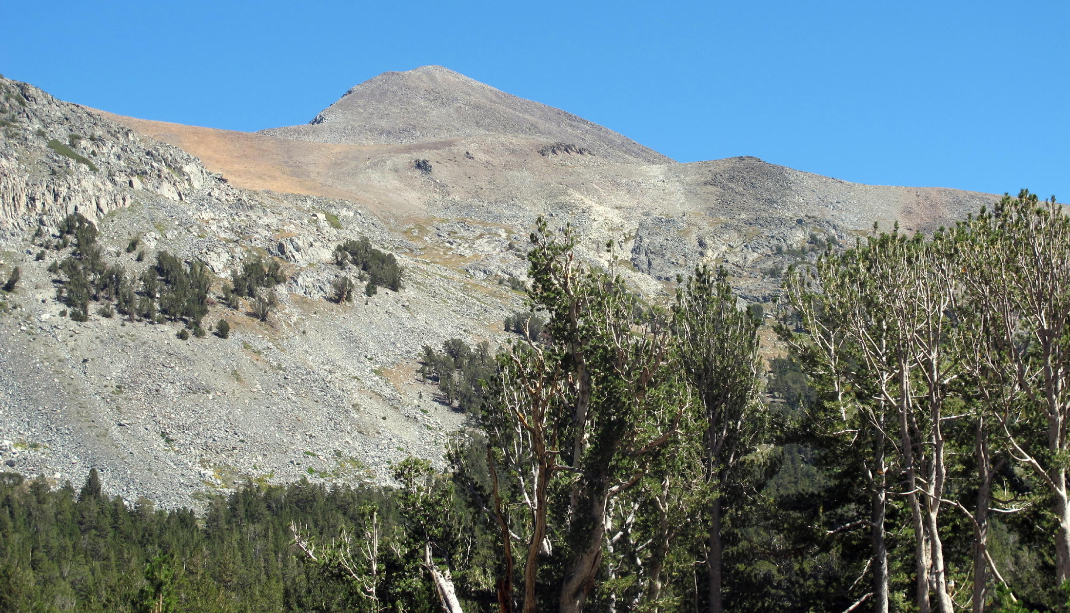 |
first look at Mt. Dana at 13,061 ft. |
 |
Tuolumne Meadows |
 |
break time |
 |
Jean | ||
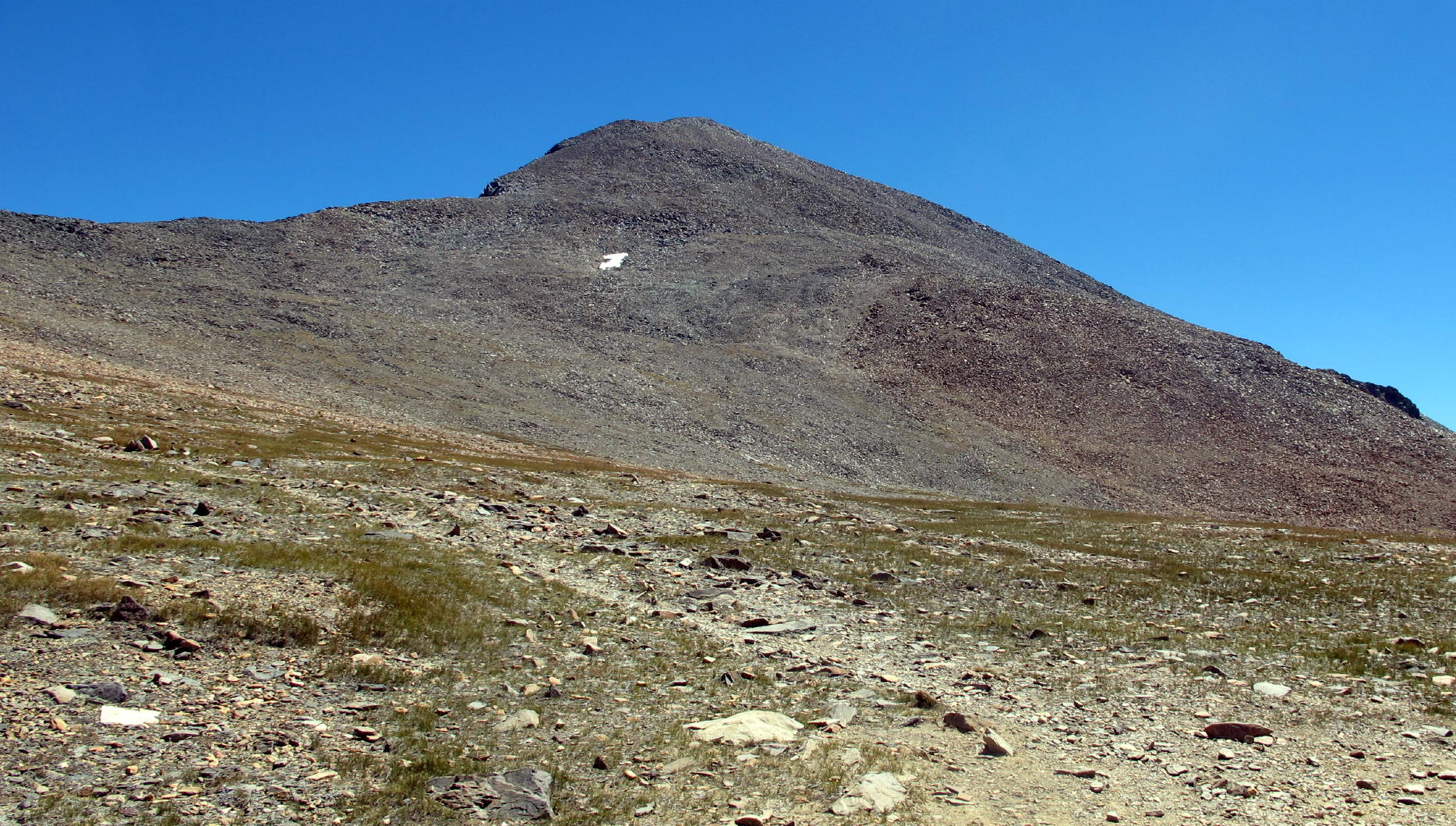 |
Mt. Dana again |
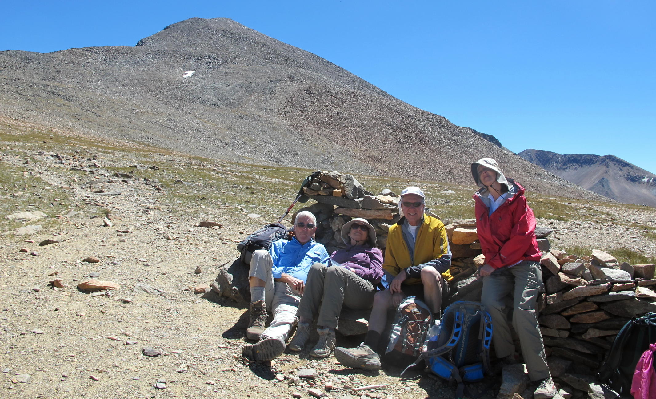 |
end of the climb |
 |
|
 |
Jean heading down |
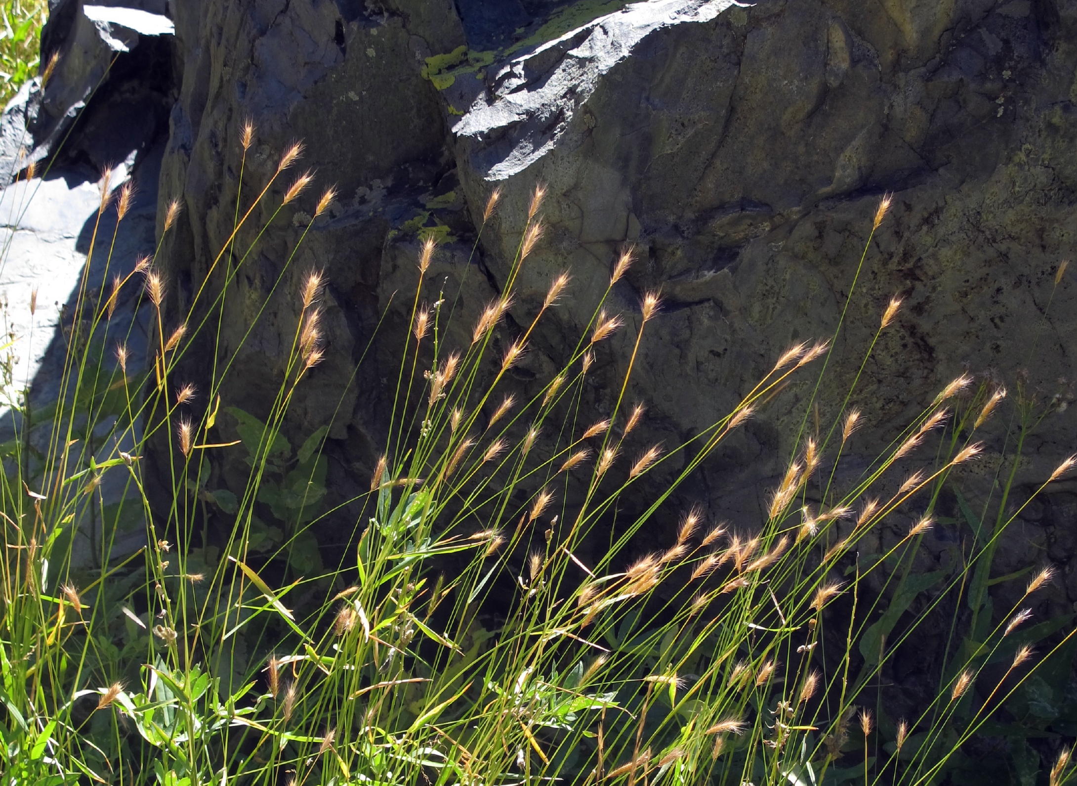 |
Meadow Barley |
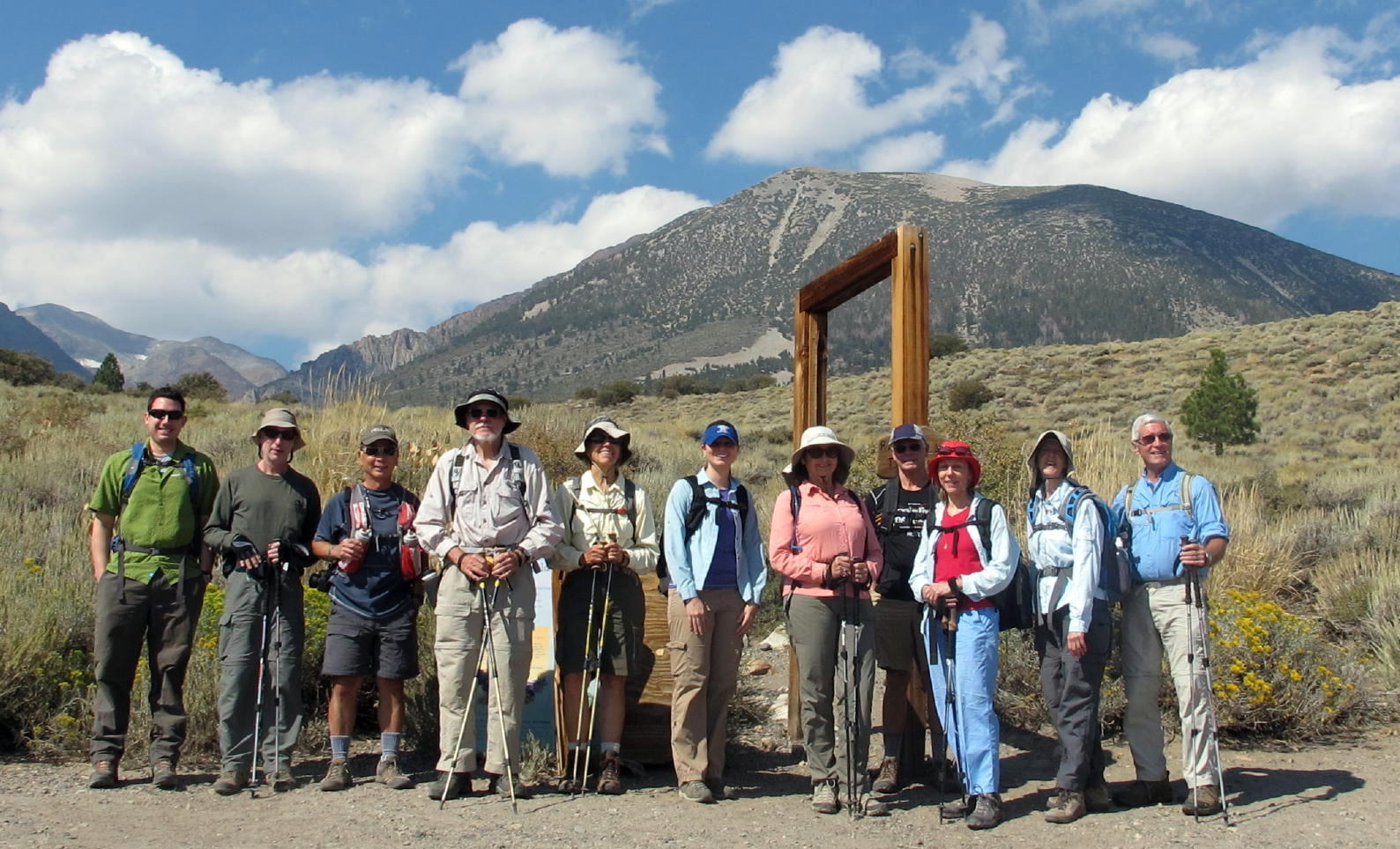
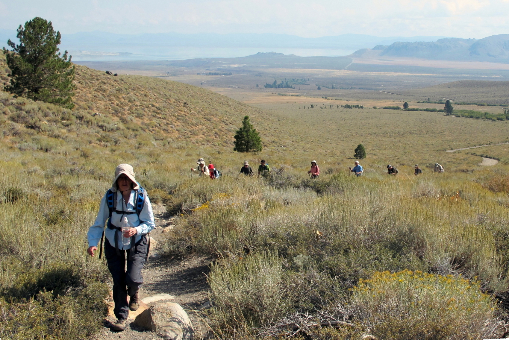
Parker Lake, our third hike destination, was a short walk with about 1,500 ft. of altitude gain. The hiking group was larger today, as five people joined, making it 12 in all.
In the 4th photo below, in the distance behind Bonnie, you can see Mono Lake, which photo helped me figure out where this walk occurred.
 |
Patrick, Victoria & Bonnie on the drive |
 |
group photo at trailhead, see note 1 |
 |
|
 |
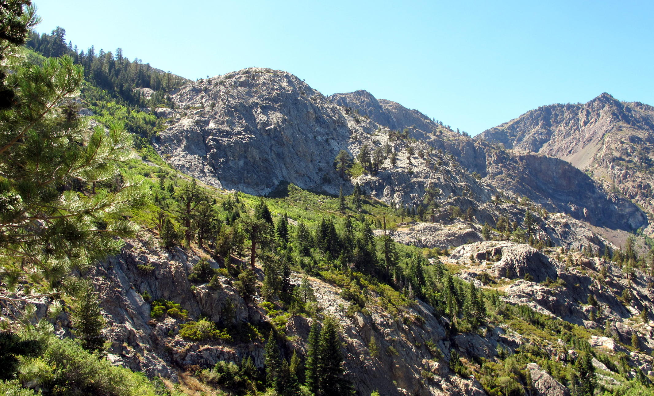
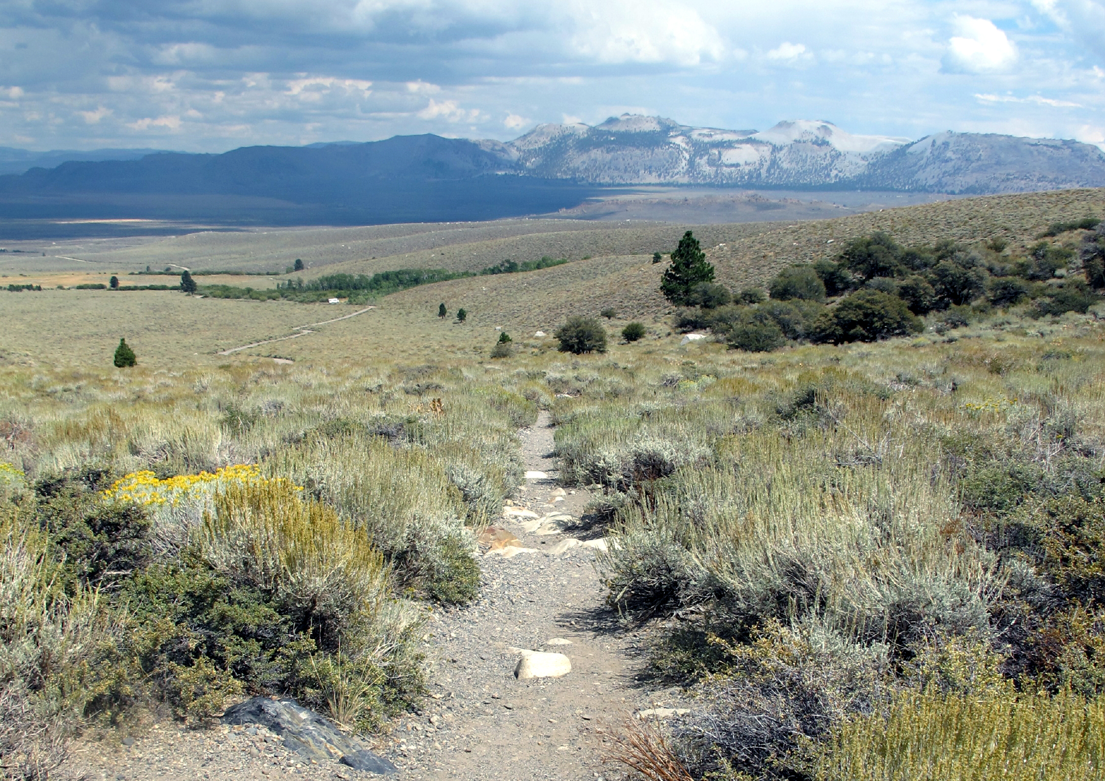
Eastern Sierra landscape |
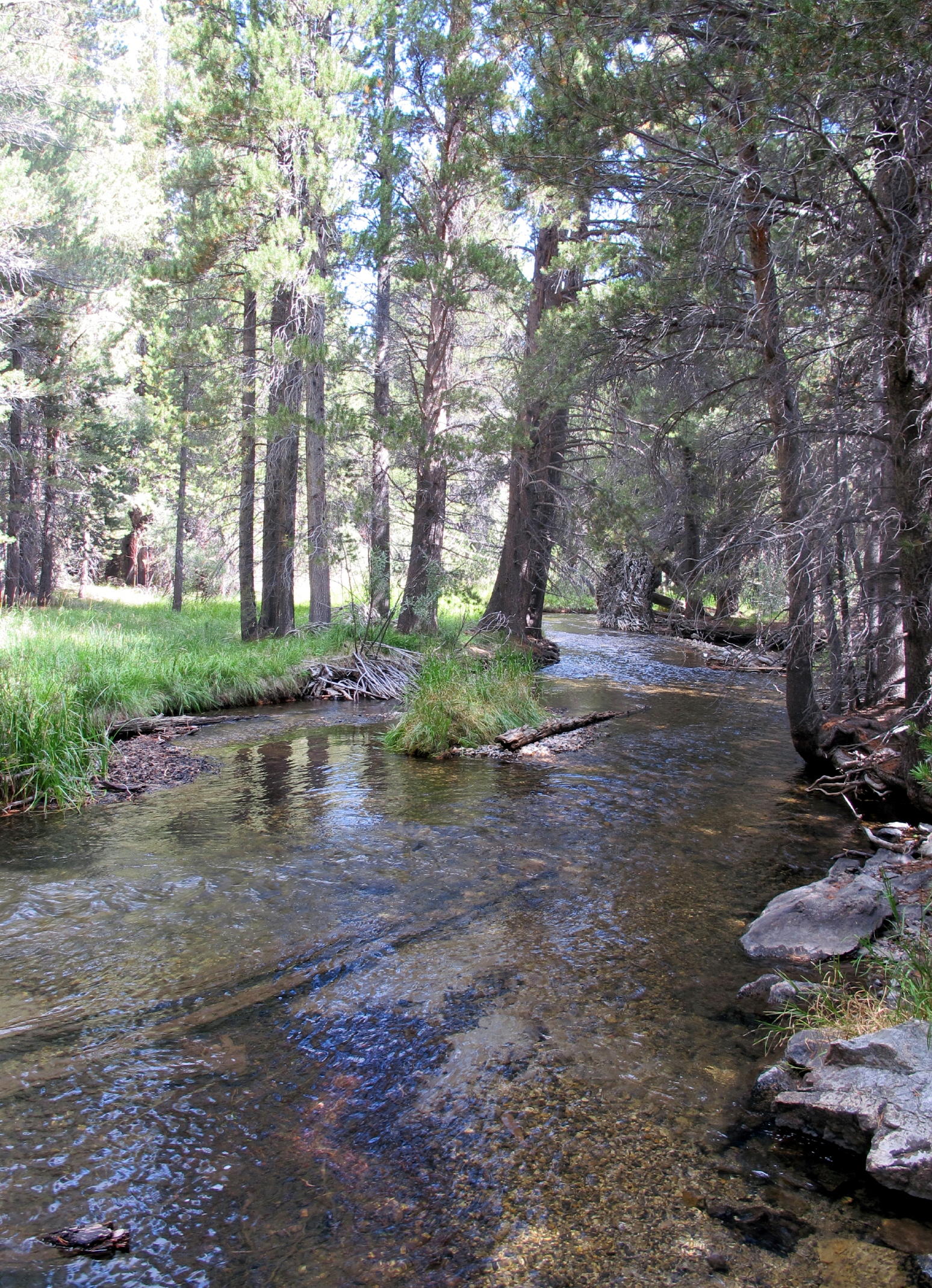 |
Parker Creek | ||
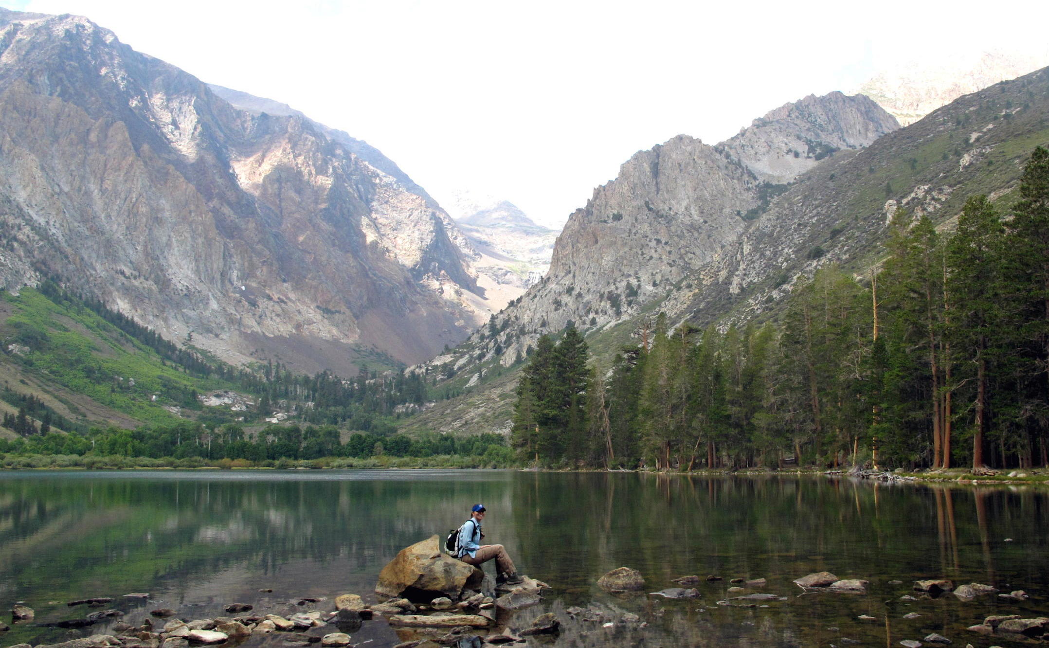 |
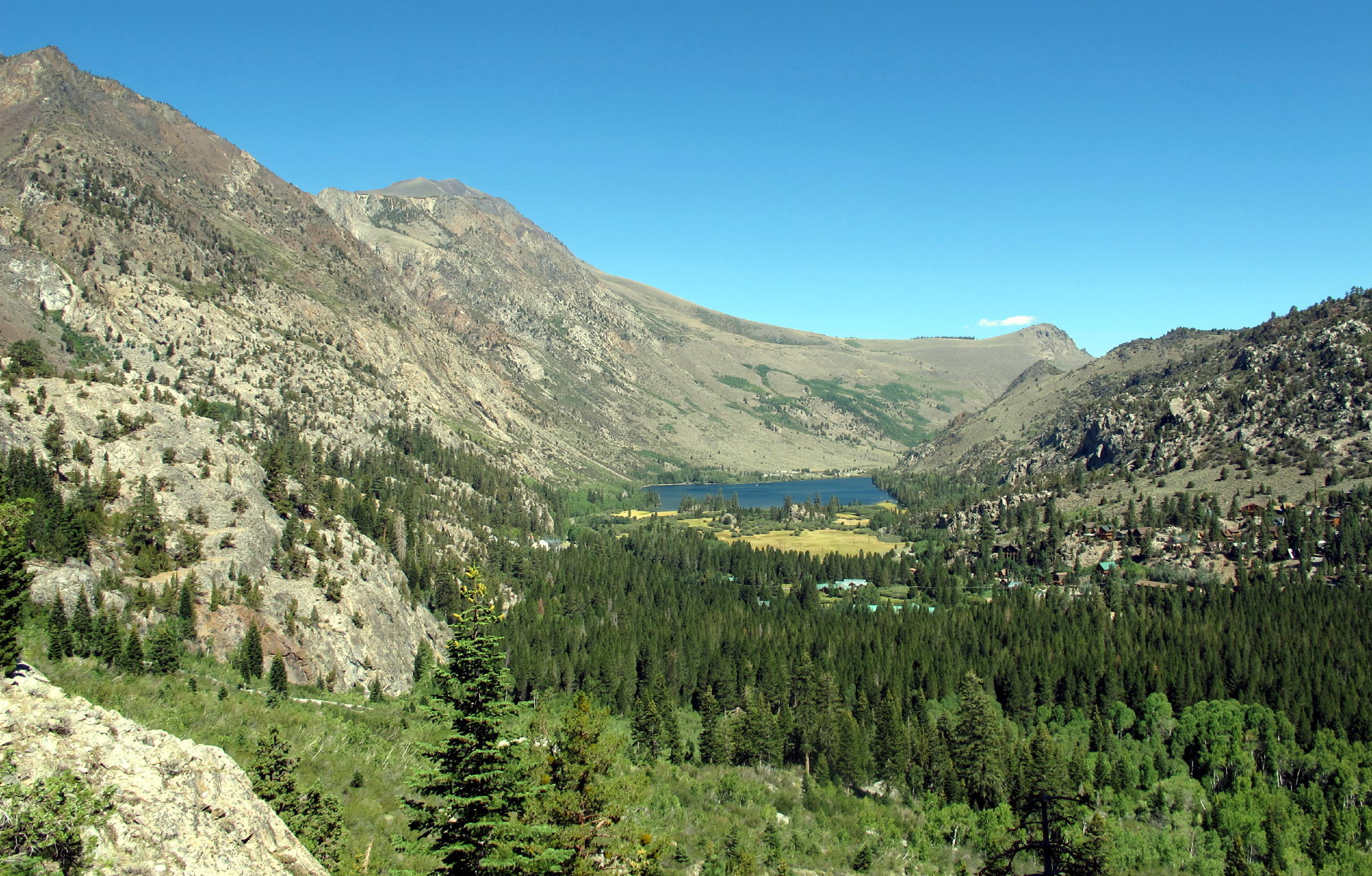
Parker Lake at 8,500ft., see note 2 |
 |
Victoria |
 |
R & L |
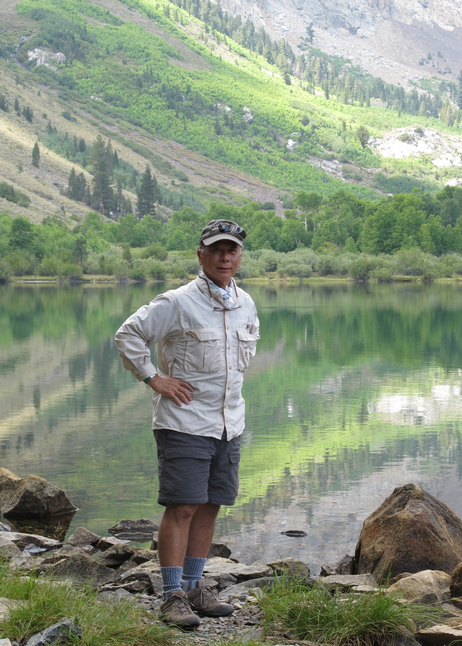 |
Geno |
 |
another view of Mono Lake on the walk back |
 |
|
 |
way out west |
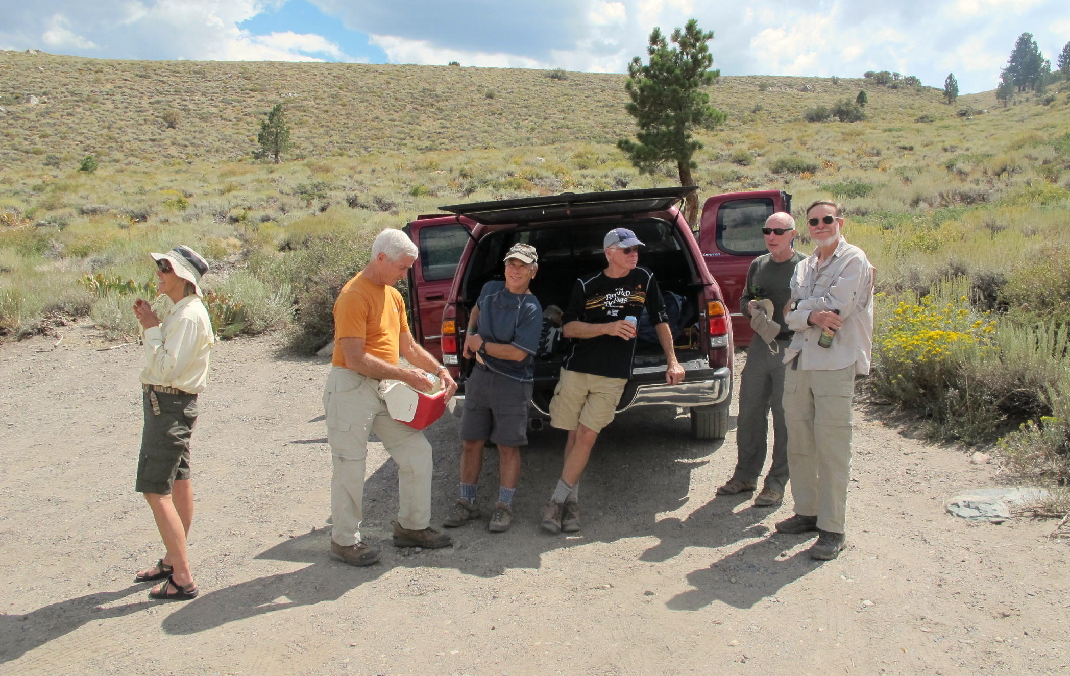 |
Rich brought some drinks in a cooler |
note 1 - L2R: Patrick, Rick K., Geno, John, Kathy, Victoria, Linda, Dick F., Jean, Bonnie, Rich and the photographer = 12
note 2 - the most prominent peaks here are all close to 13,000 ft.
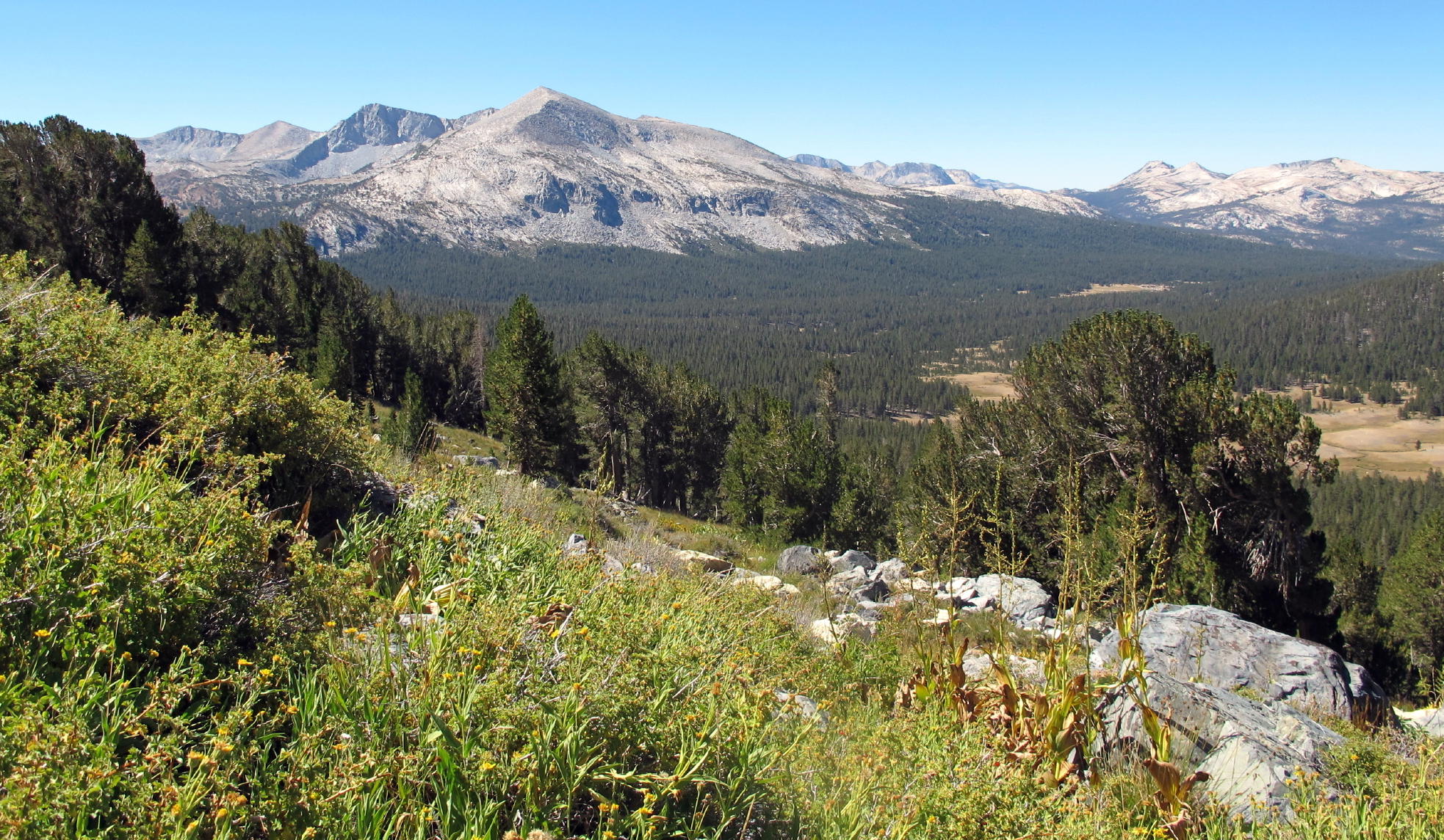
On the drive home from June Lakes, I detoured to Yosemite Valley on hwy 120, hoping to stay a night. There was a 90 minute traffic stoppage, to allow fire crews & equipment to pass through w/o hindrance.
When I arrived at Yosemite Lodge, around 1 pm, rooms were available, so I called my wife and got the OK to stay for a night.
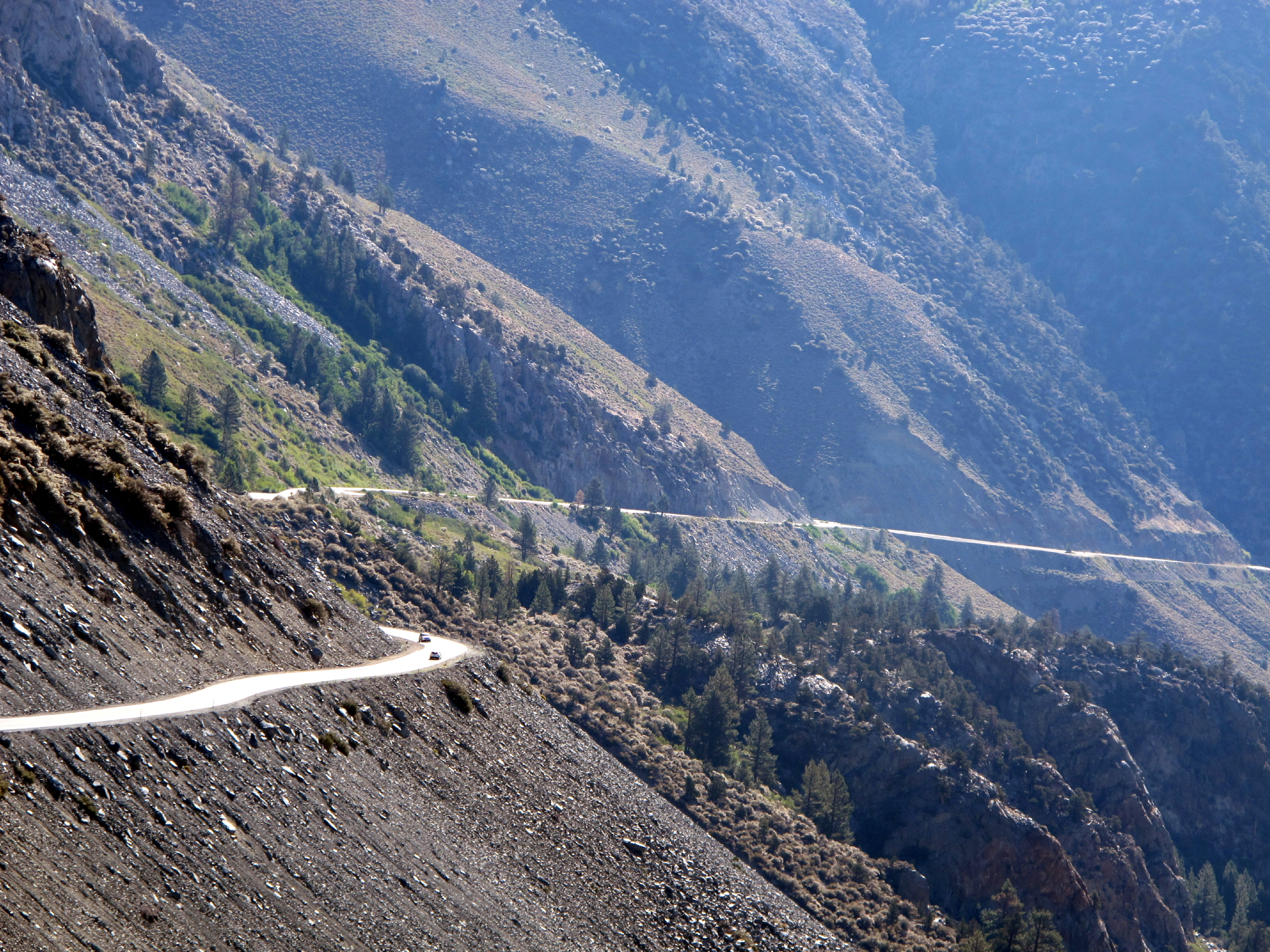 |
Tioga Pass Road (hwy. 120) |
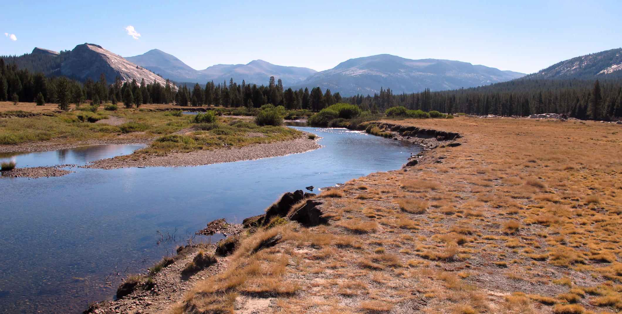 |
Tuolumne Meadows, see note 1 |
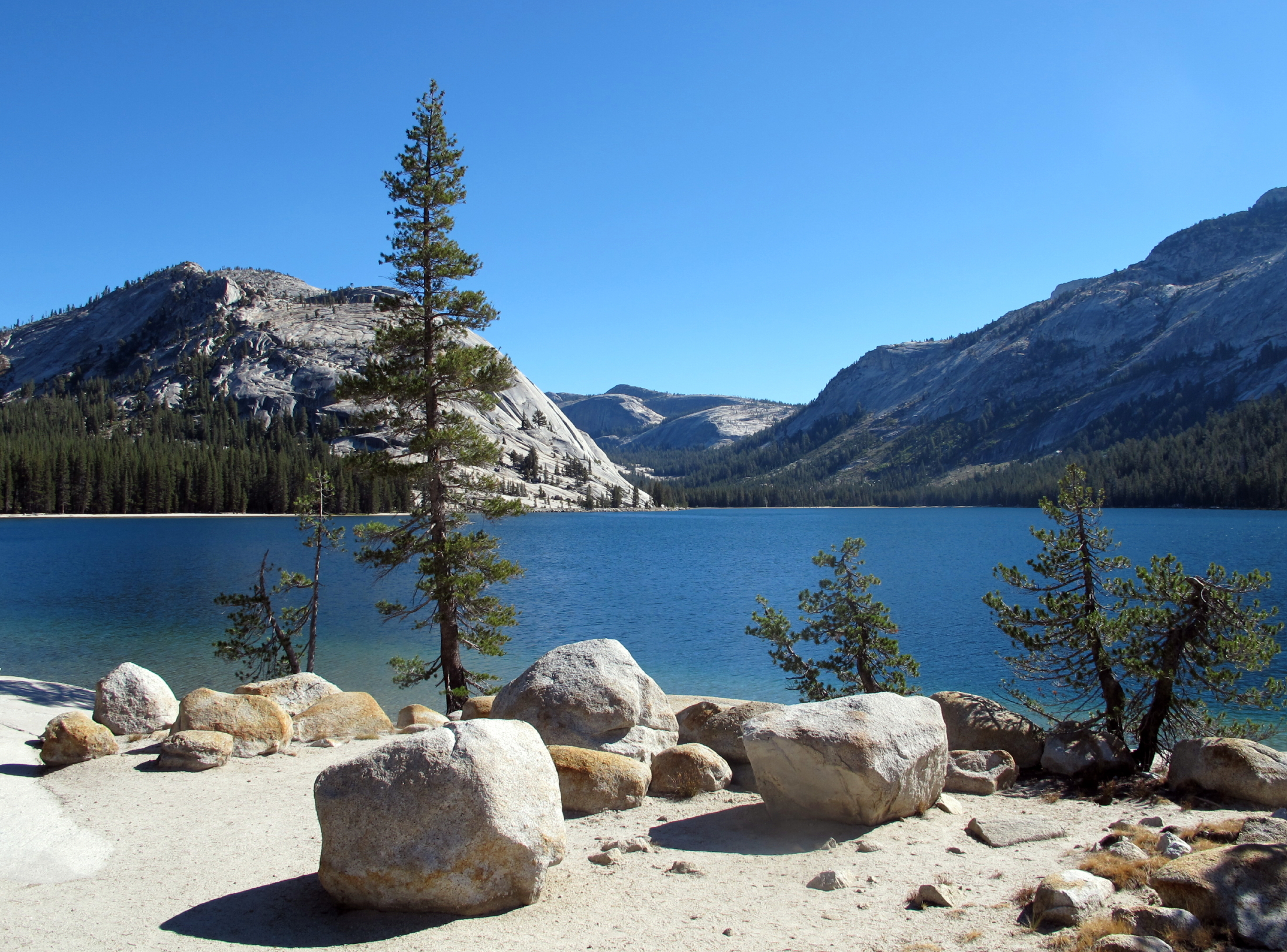 |
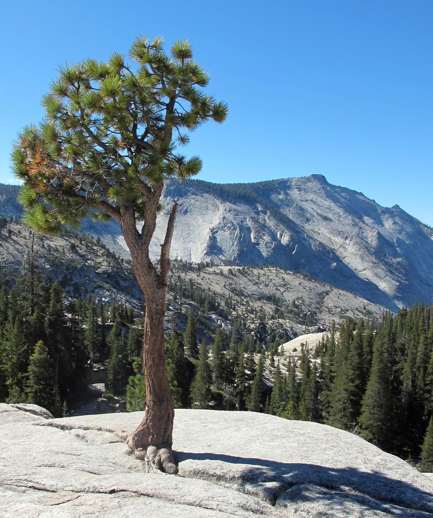
Lake Tenaya |
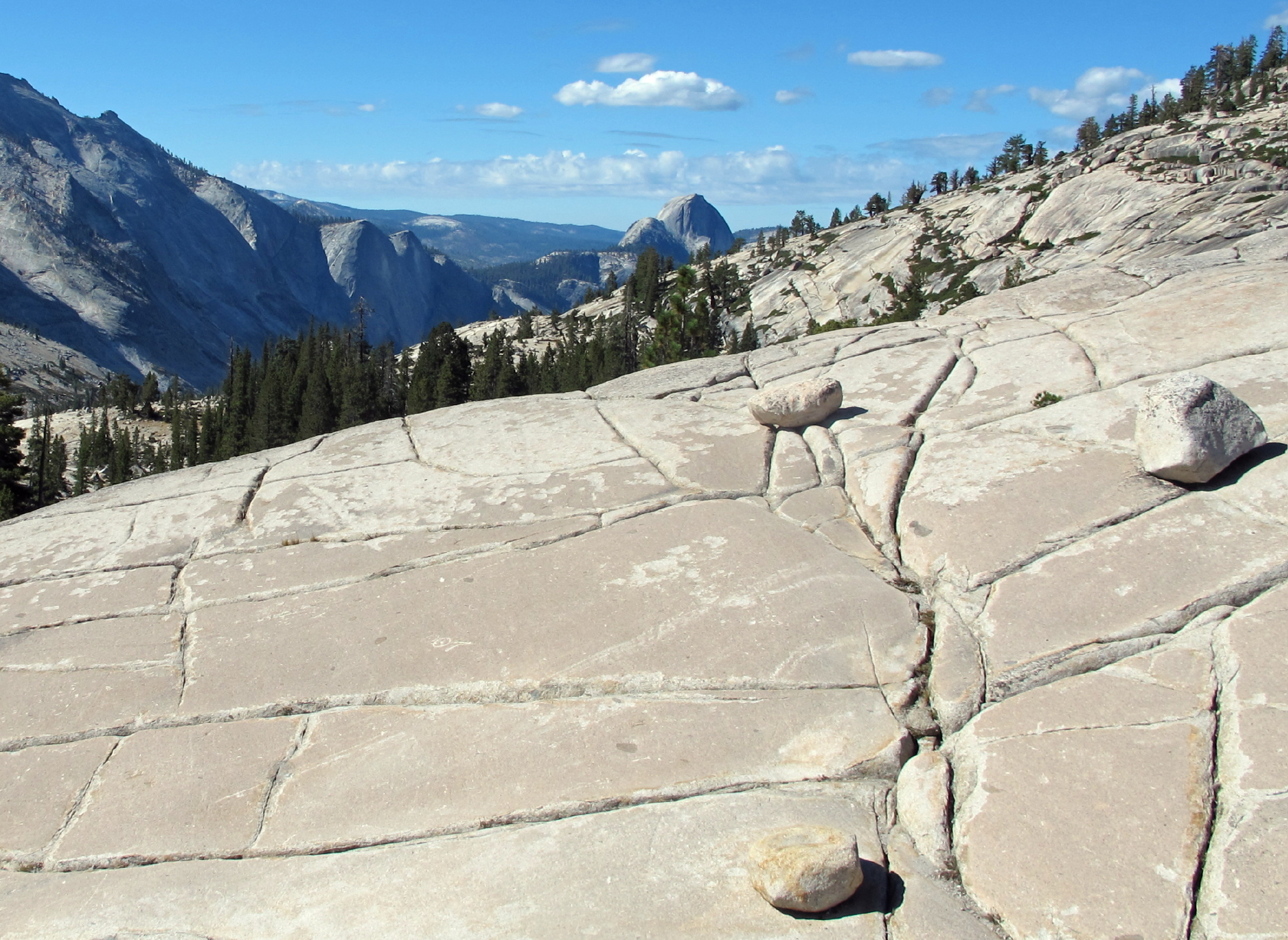 |
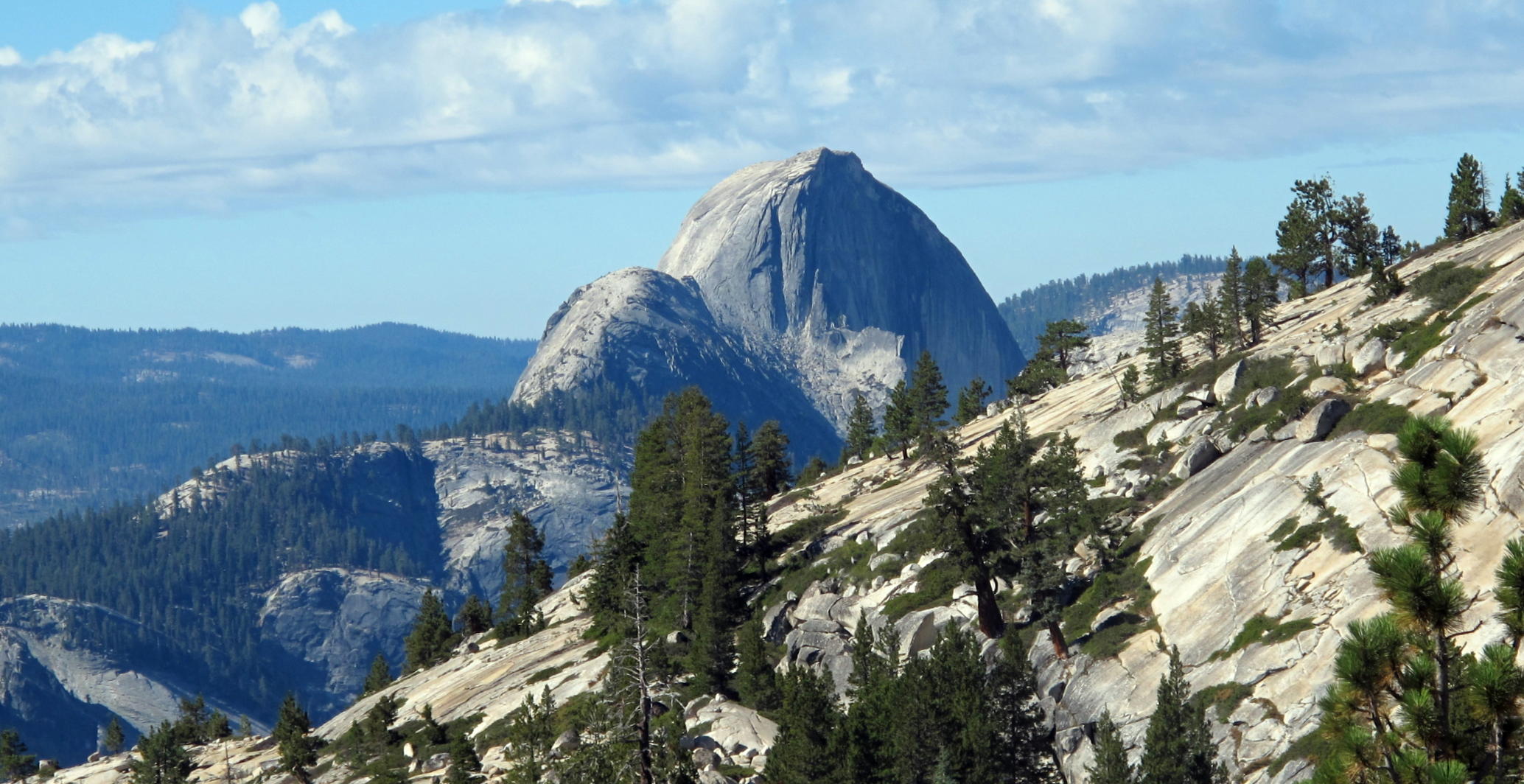
roadside view of Half Dome |
 |
 |
||
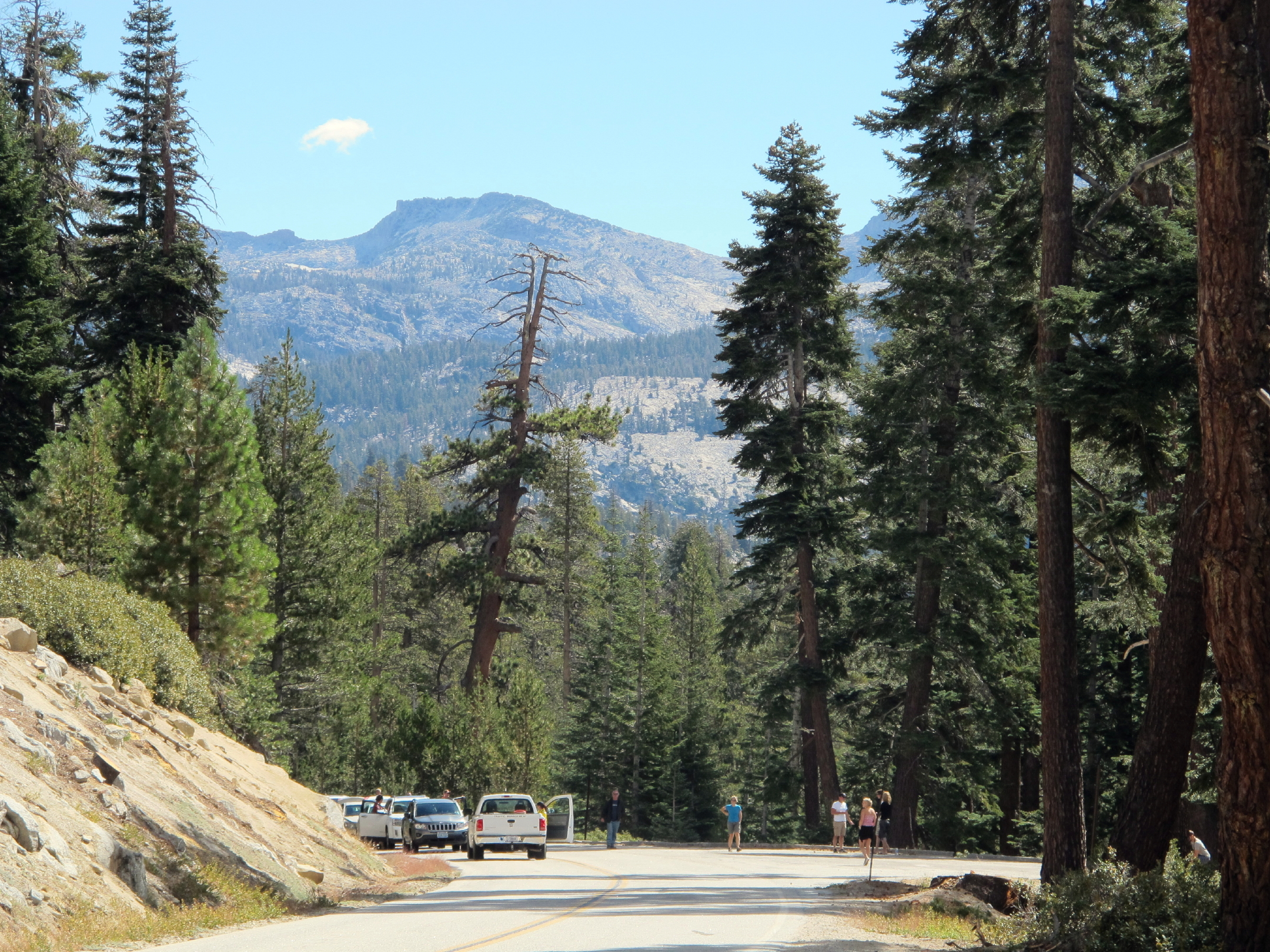 |
traffic delay |
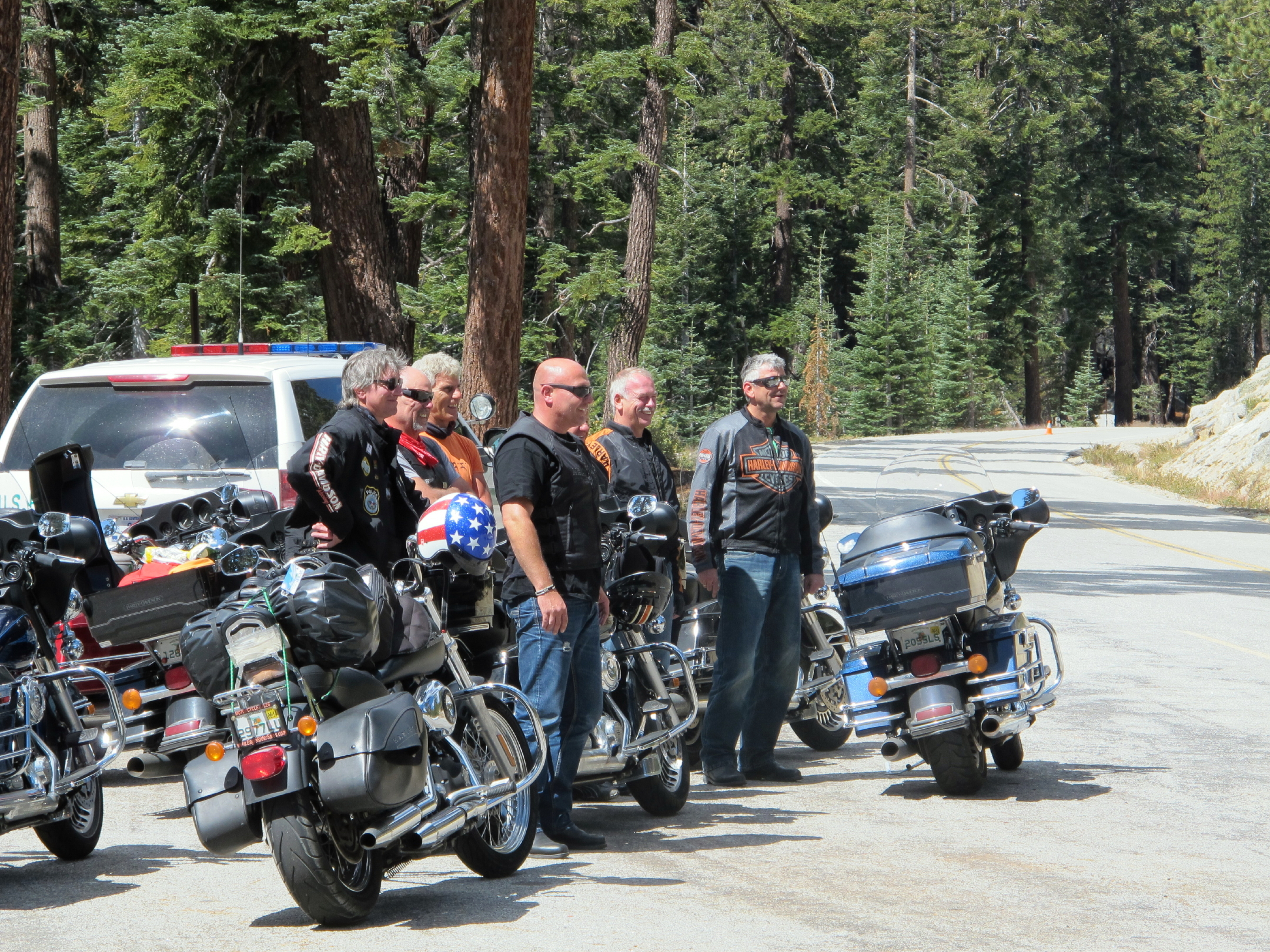 |
see note 2 |
note 1 - the distant peak near the center (with a 'notch') is Mt. Dana.
note 2 - German bikers were enjoying an interaction with a woman Park Ranger, and someone said they were on a 10-day tour of California.
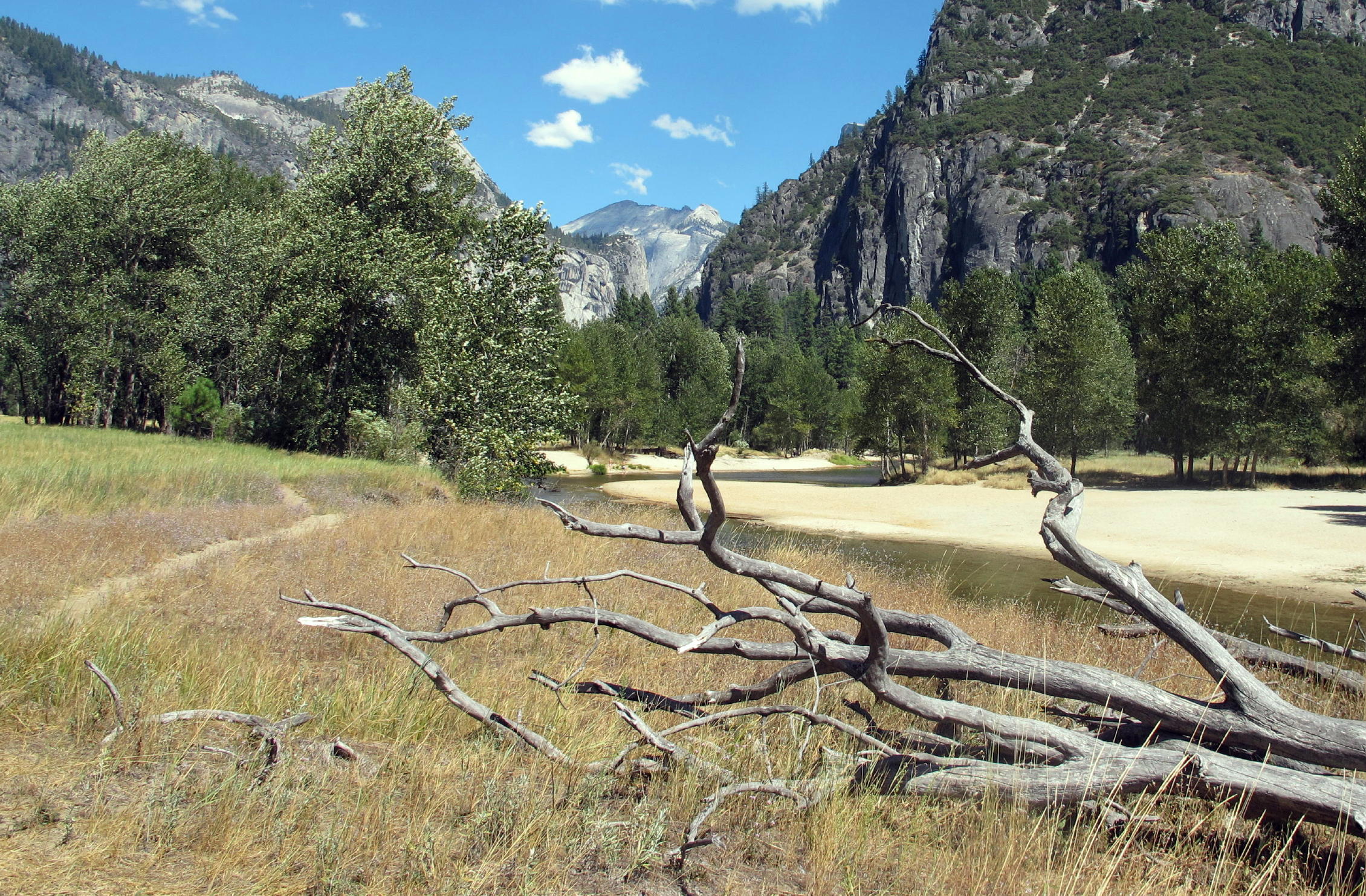
After checking in, I had lunch & coffee nearby and then walked a mile downstream along the nearby Merced River, towards El Capitan.
 |
footpath |
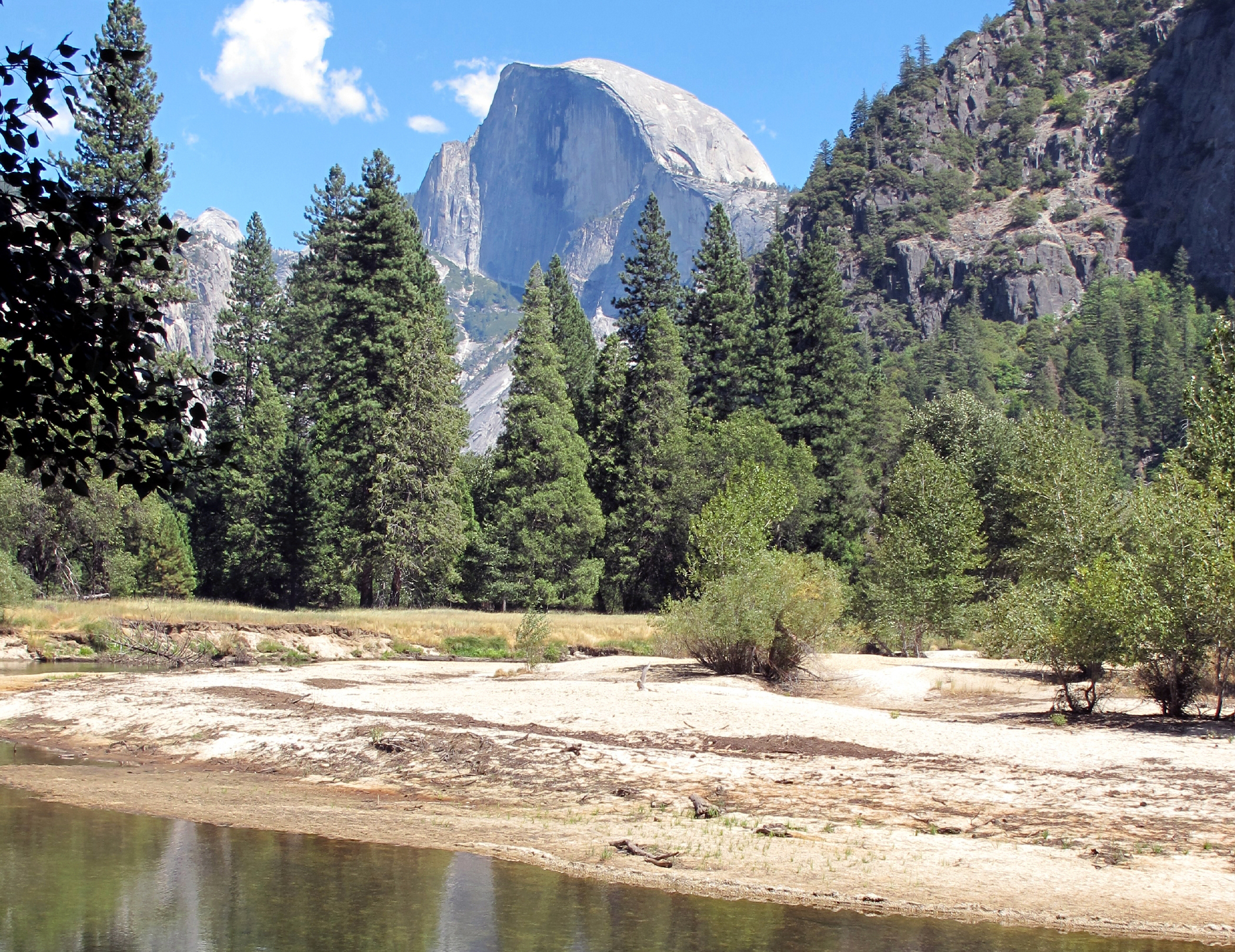 |
Half Dome |
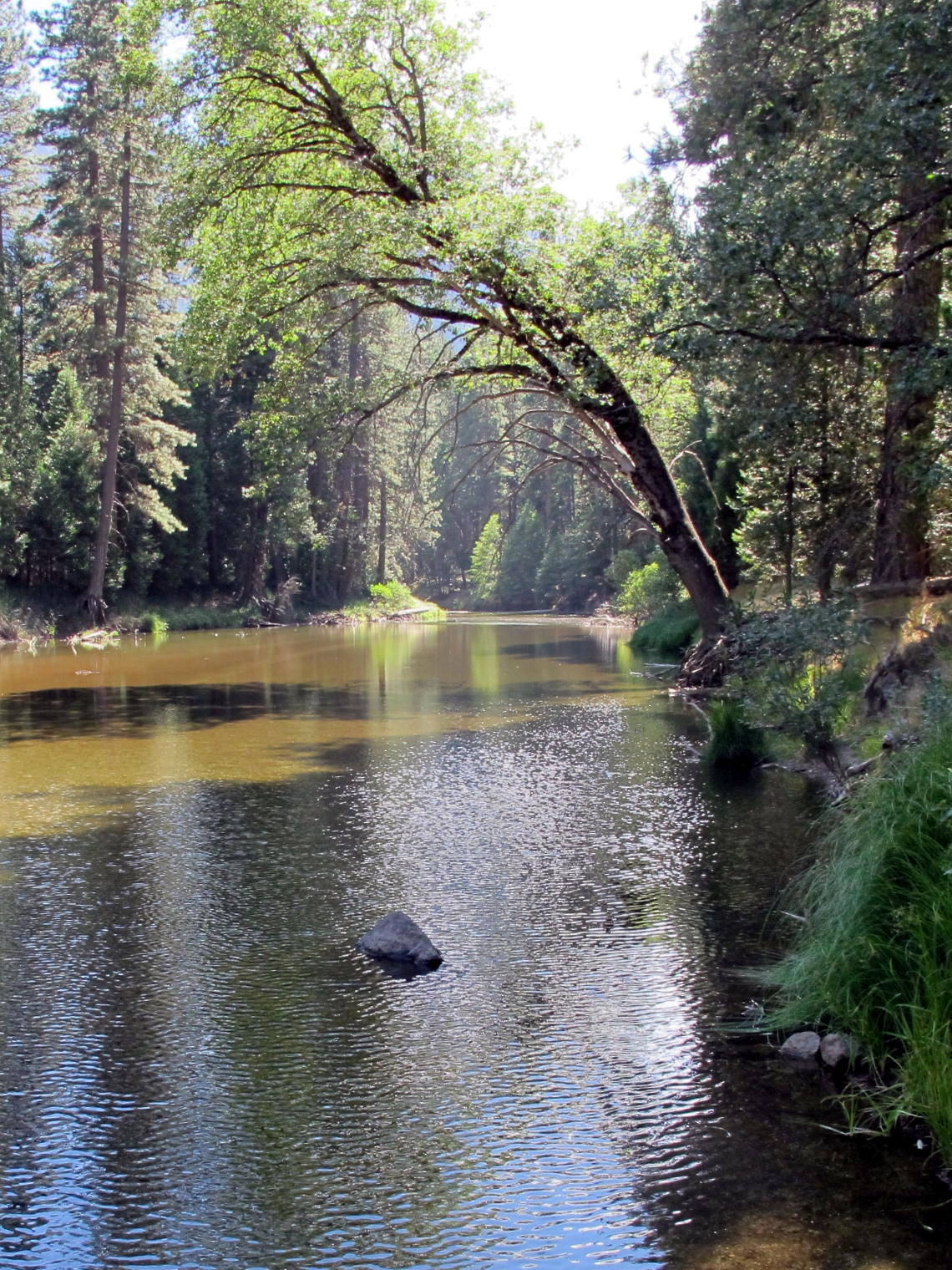 |
Merced River, see ps |
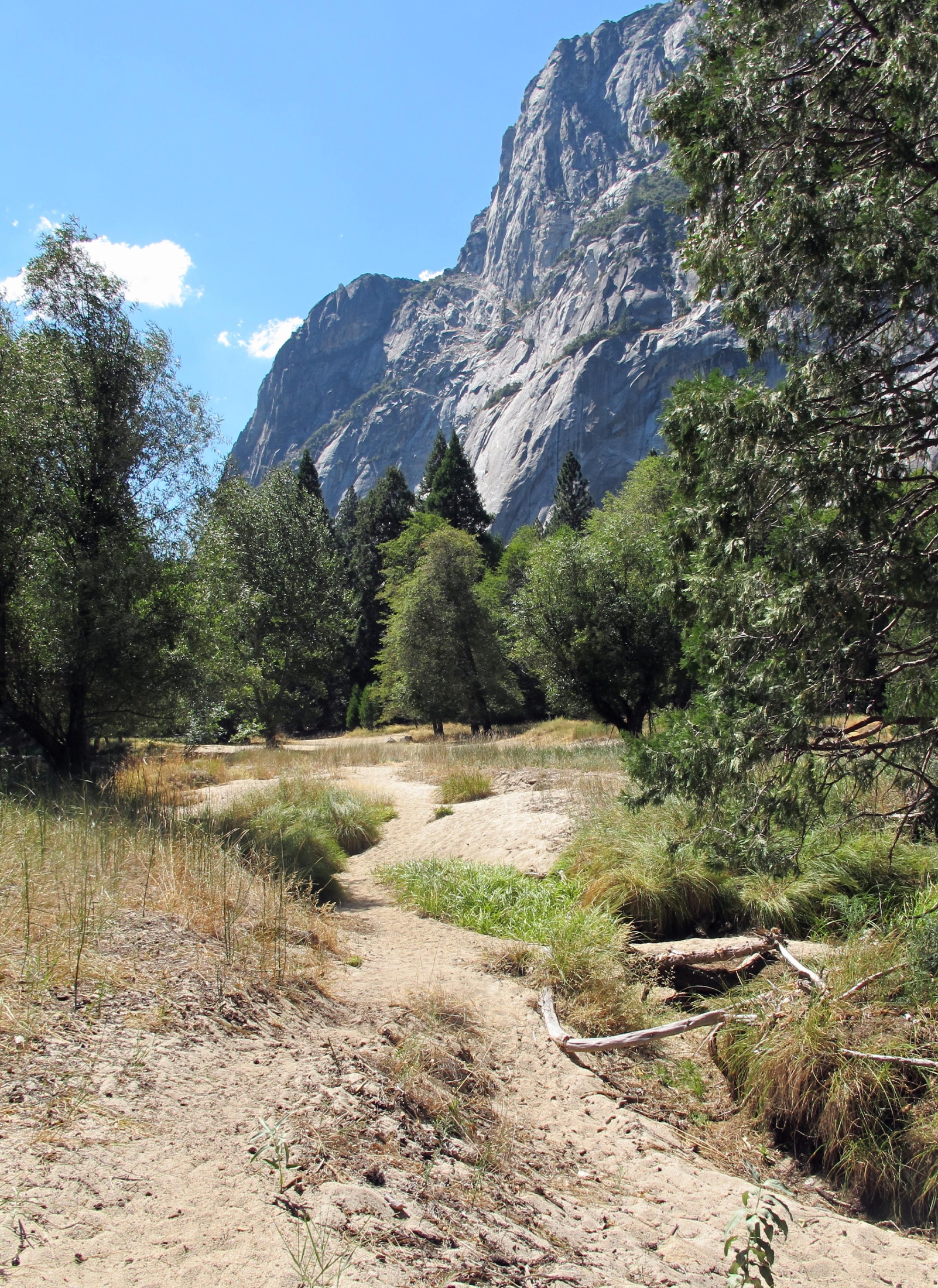 |
big floods cause sand bars |
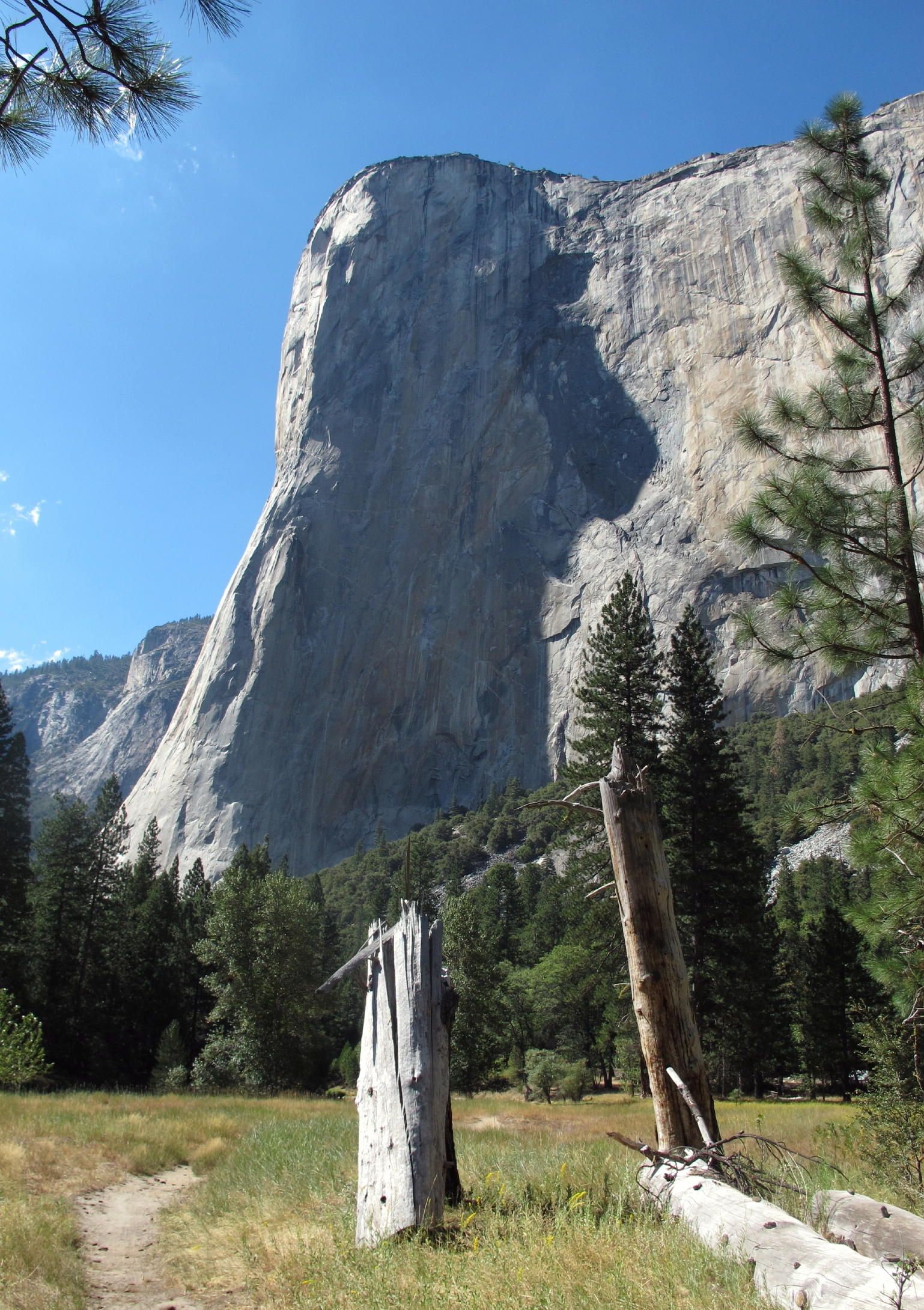 |
El Capitan, see note |
|
note - El Capitan (7,353 ft.) has a 3,000 ft. vertical rock face.
The next morning was overcast and after breakfast I headed home.
Go to next page - 2014
return to eastern sierra index
return to index
Postscript - when I was 18 and living in Wilmington, Delaware, I read an article in National Geo about Yosemite Valley, where the author said that visitors could experience privacy on the little path alongside the Merced River. On many visits to the Valley over the years I found this to be true; it is a lovely walk.
It is a bit odd to be walking in a very quiet place, while the sound of the continuous tourist buses echoes off the towering walls of stone.