Napa River - Sept '26
return to index
Six of us visited Wetlands Edge Park, on the Napa River at American Canyon. American Canyon is a short jog off I-80 west, just before the bridges across Carquinez Straits, where drivers officially enter the Bay Area. This area sits in the far NE corner of the SF Bay Area, and today's one-hour drive represents the shortest possible distance to access Bay Area scenery & climate, for we Sacramentans, from the our rendezvous spot, in Davis Ca.
Wetlands Edge Park is owned by the City of American Canyon and they manage it along with the US Fish & Wildlife service.
Below the photos is a link to the Park website with good maps, showing that the Napa River Trail here connects with the much larger (but piecemeal) SF Bay Trail.
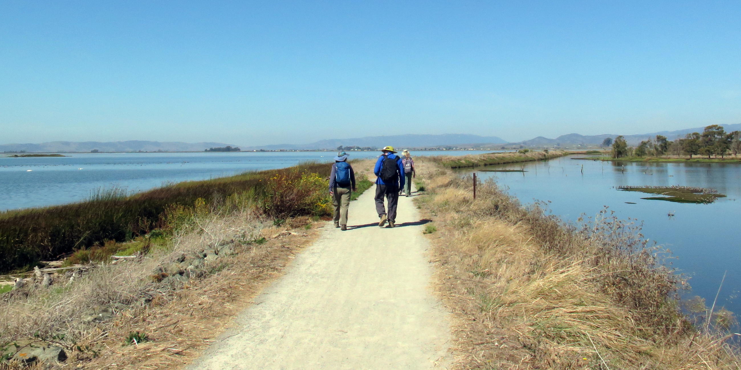
The walk out & back -
|
|
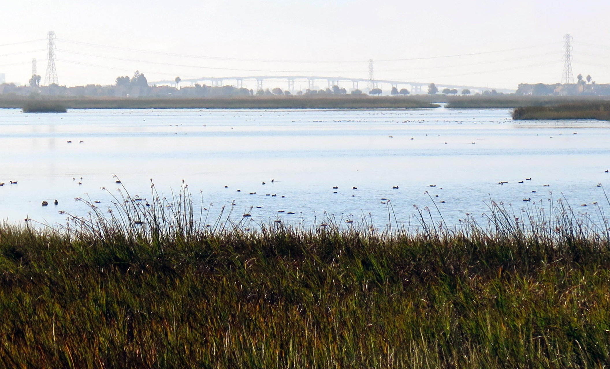
Hwy 37 at Mare Island to the south |
|
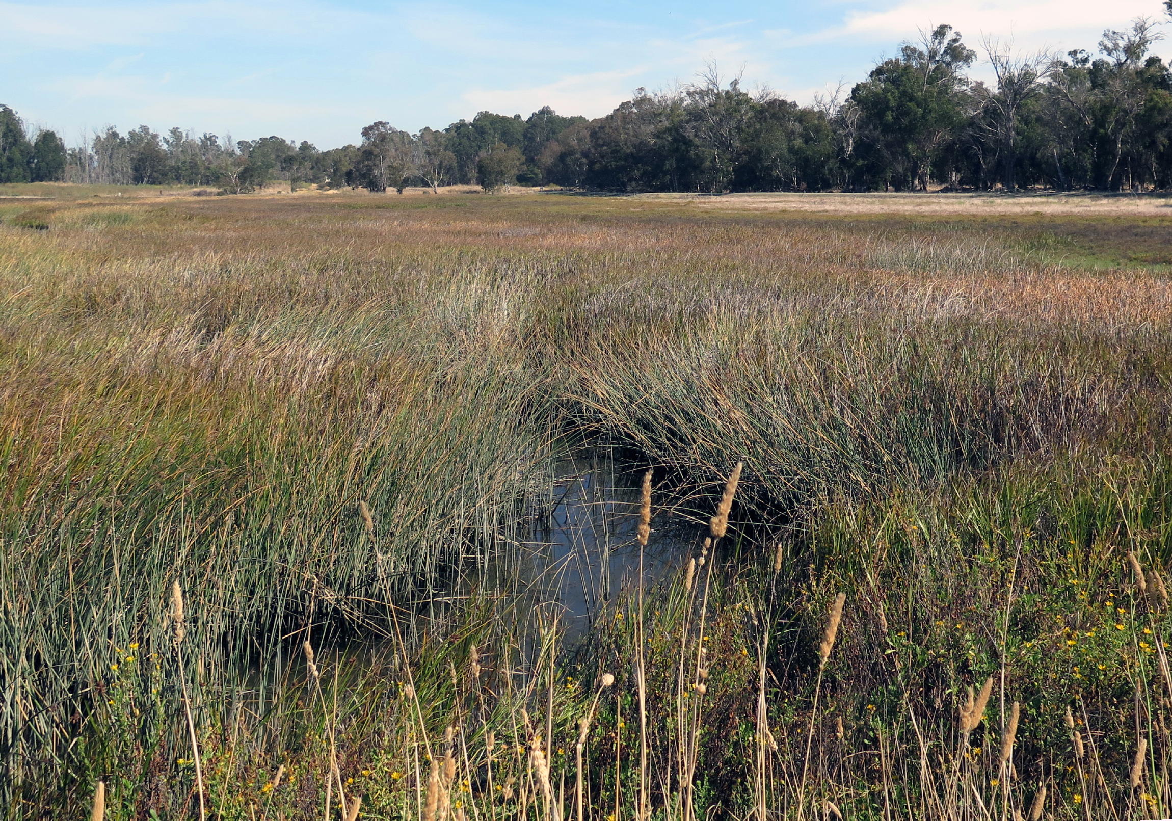
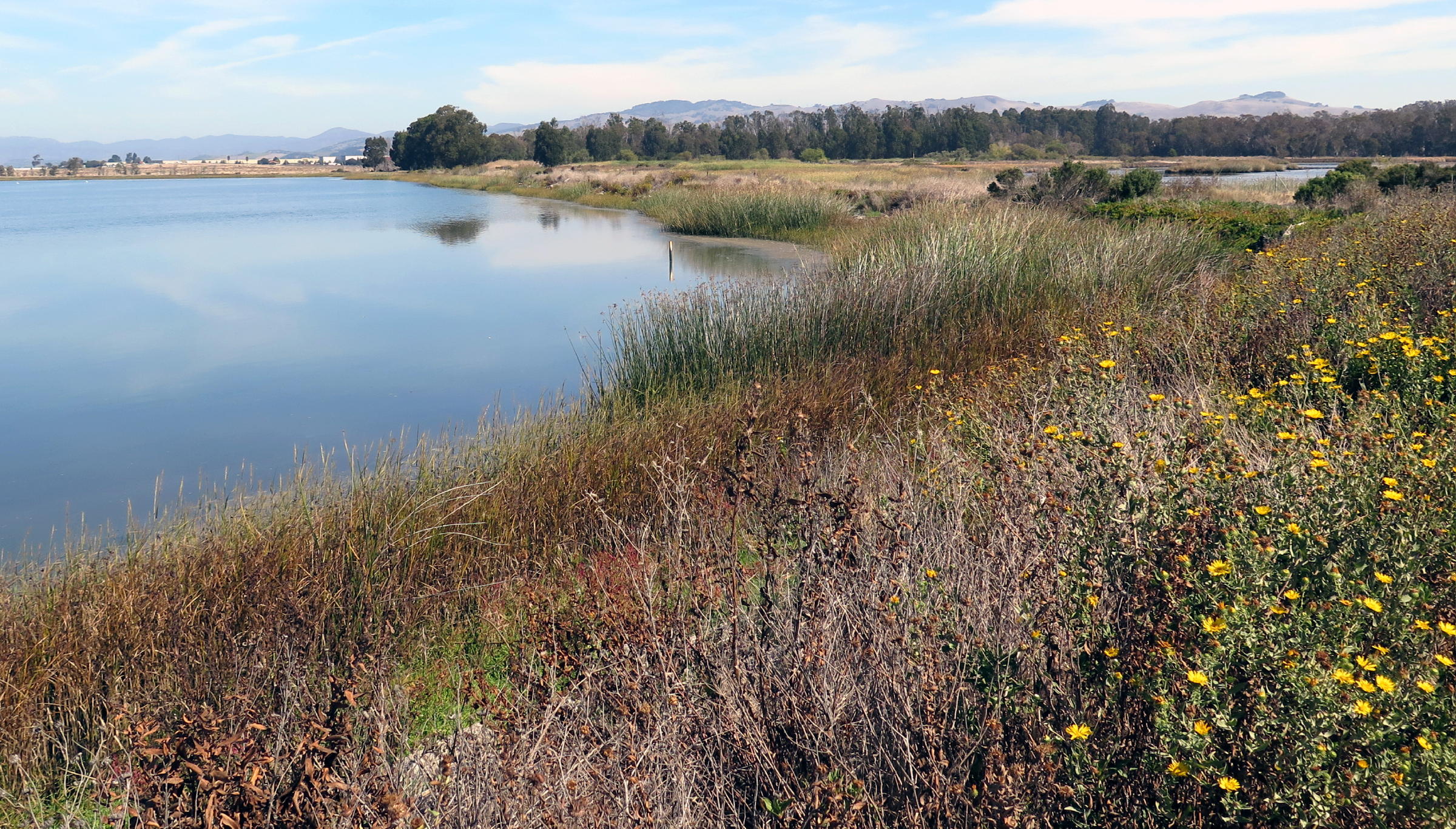
Eucalyptus woods & marsh |
|
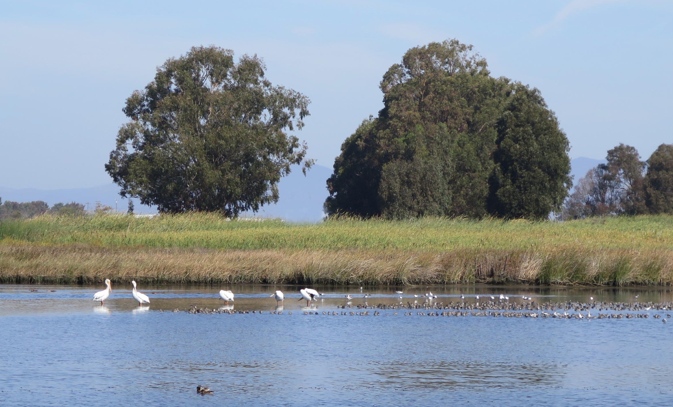
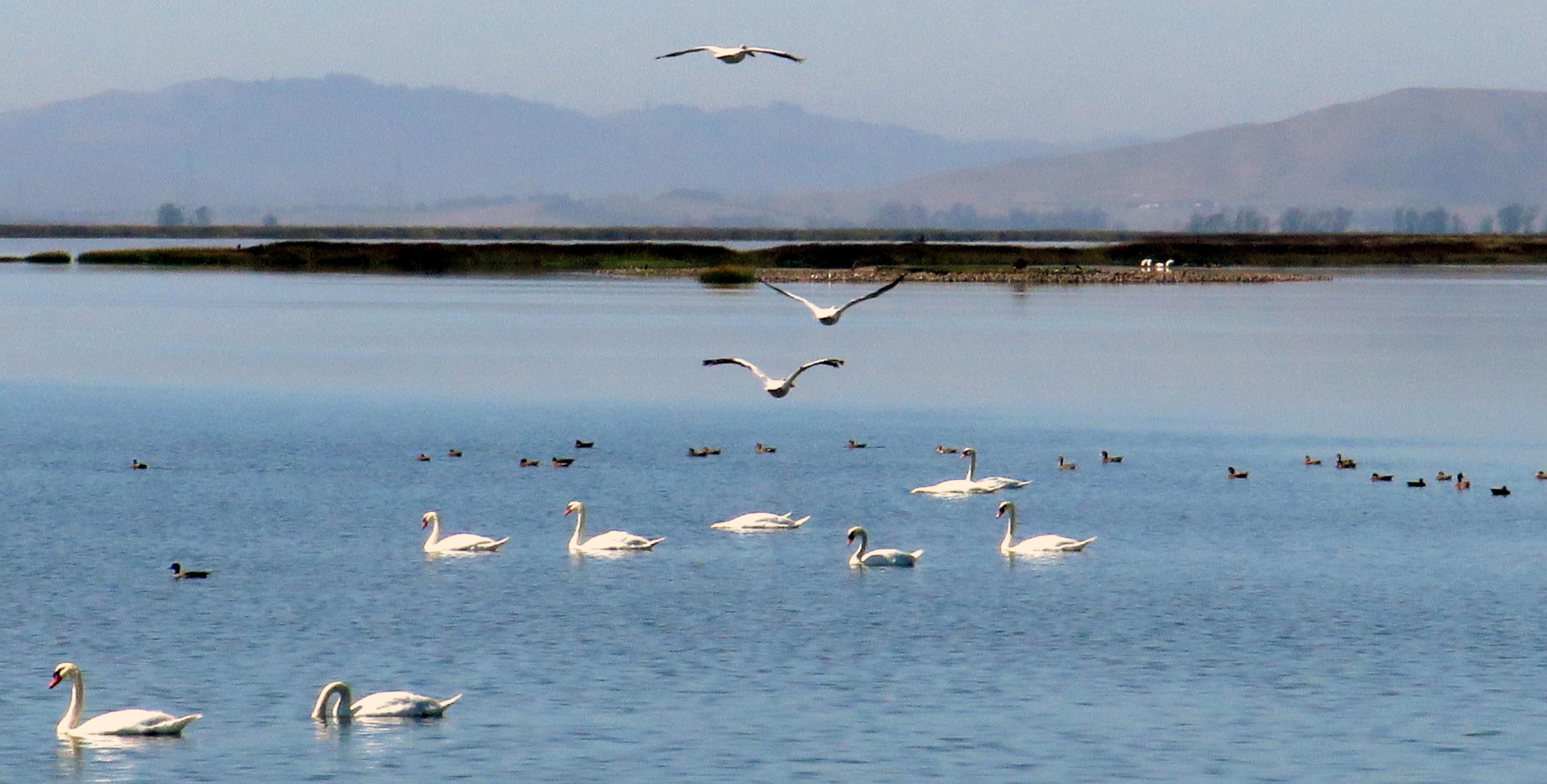
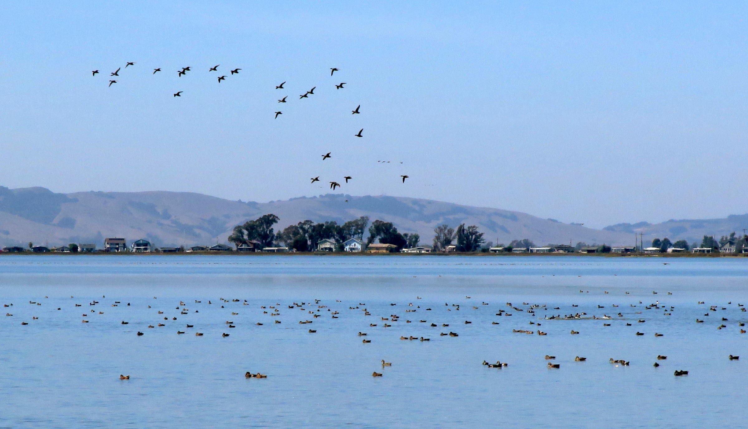
shorebirds including Pelicans |
|
|
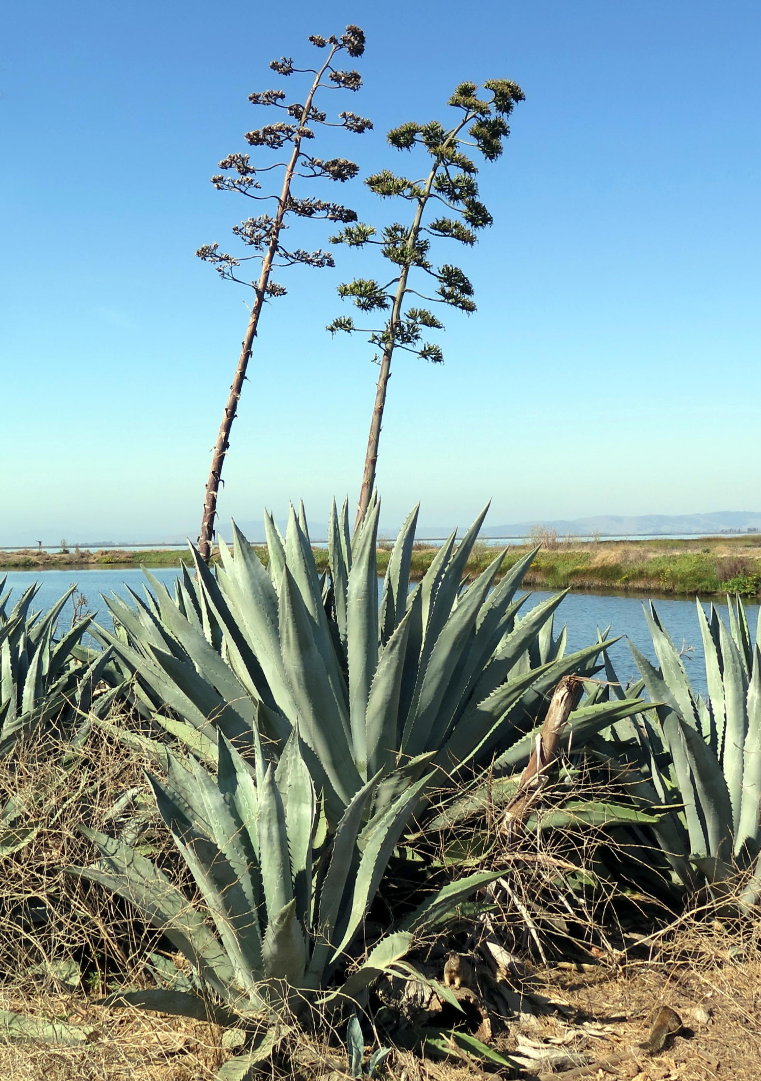
Century plant (Agave) |
|
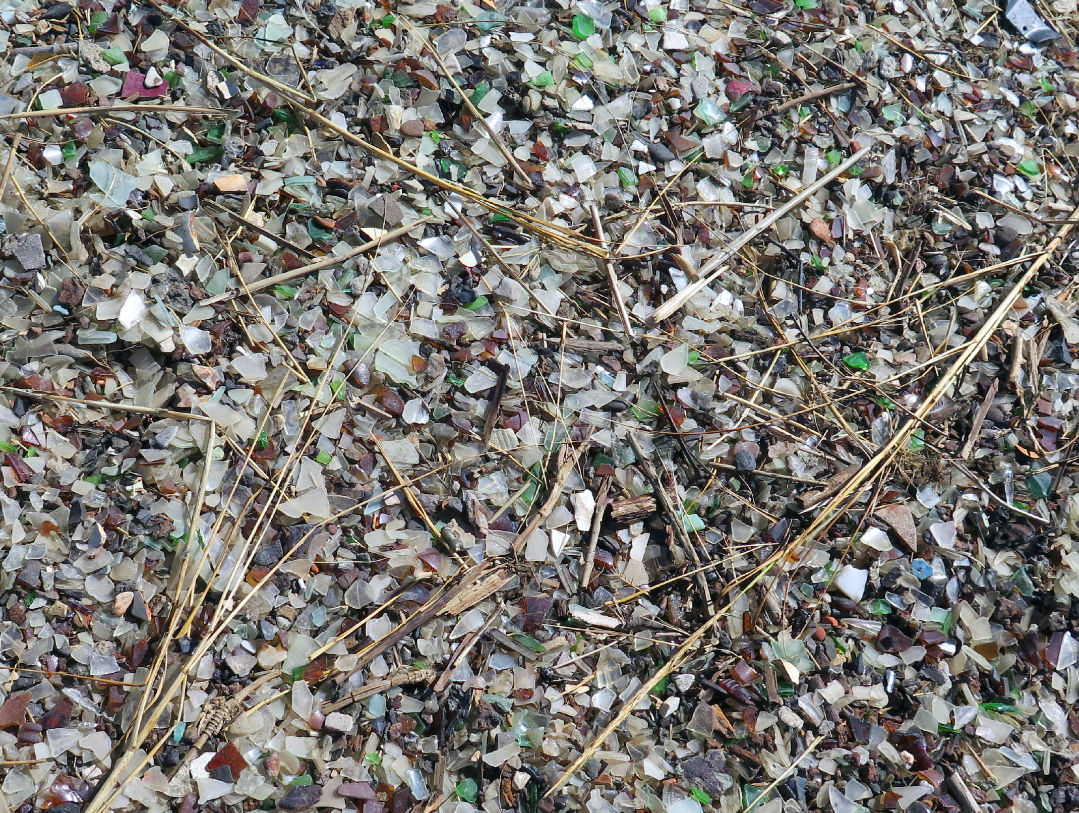
Glass beach |
|
|
|
|
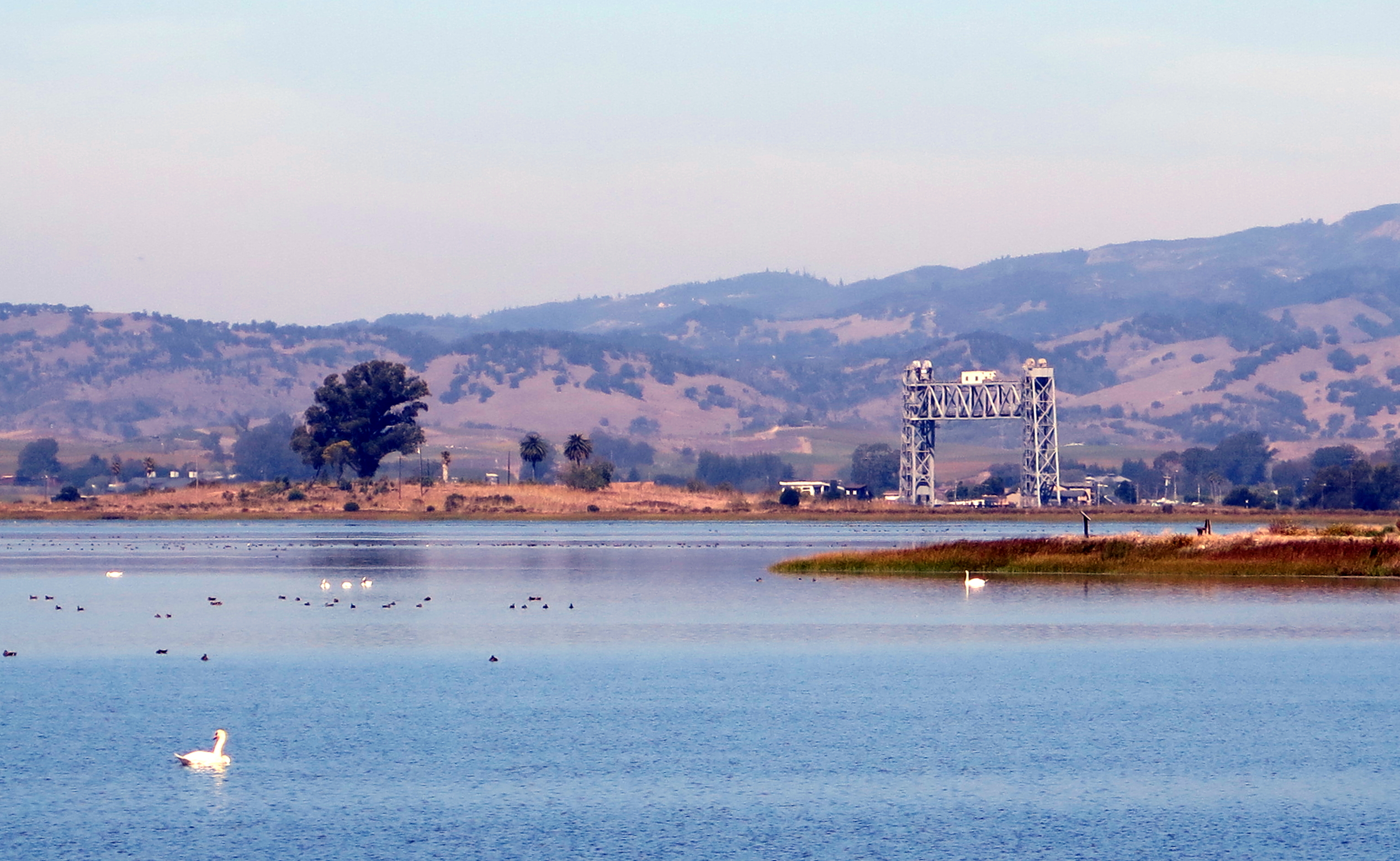
Brazos RR Bridge |
|
looking south, from whence we came |
|
looking NW towards Sonoma wine country |
|
|
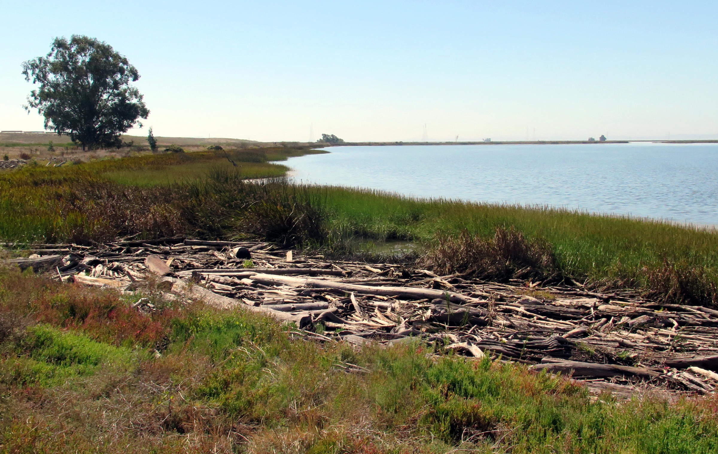
sometimes big storms come, bearing gifts |
|
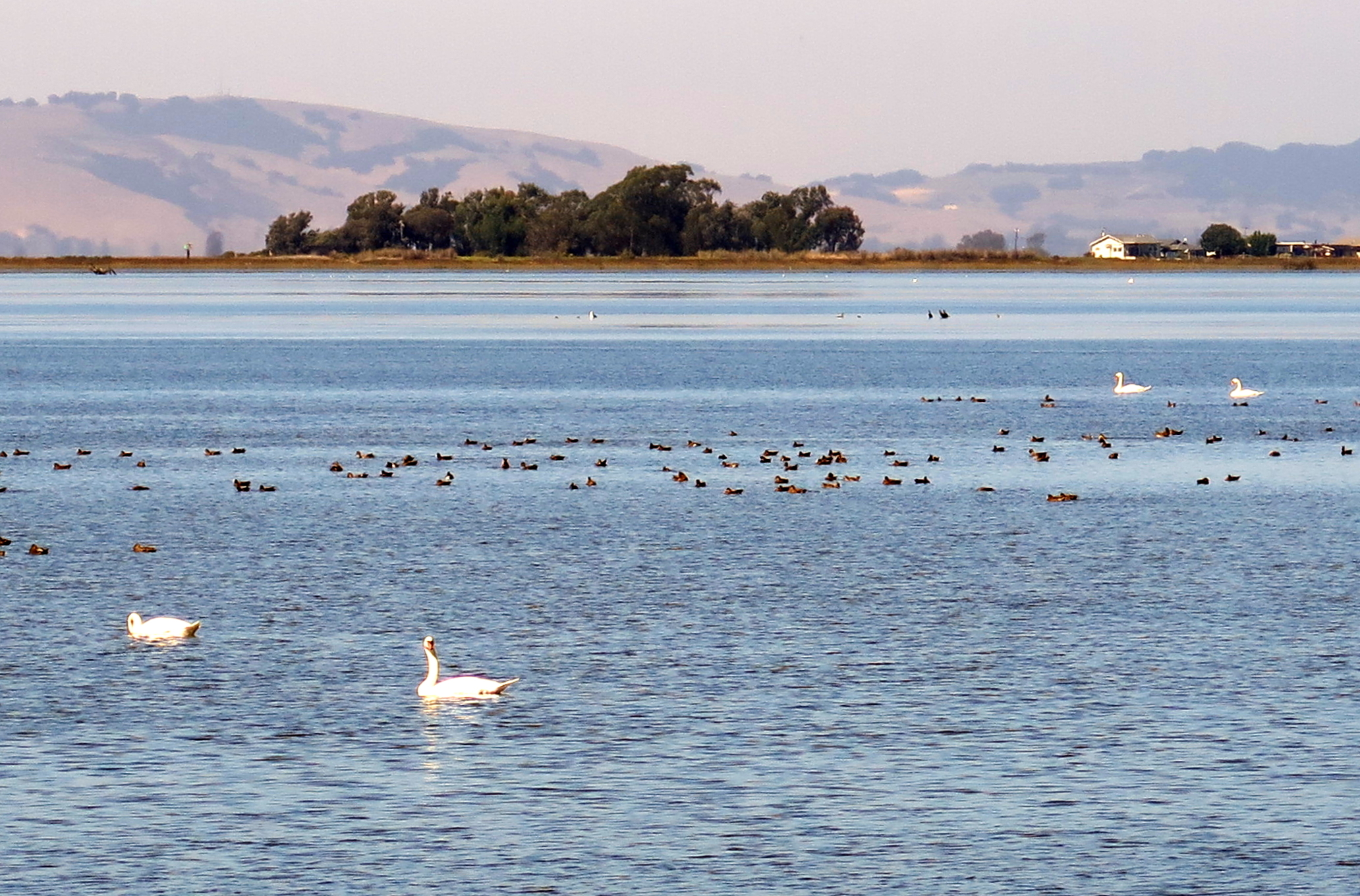
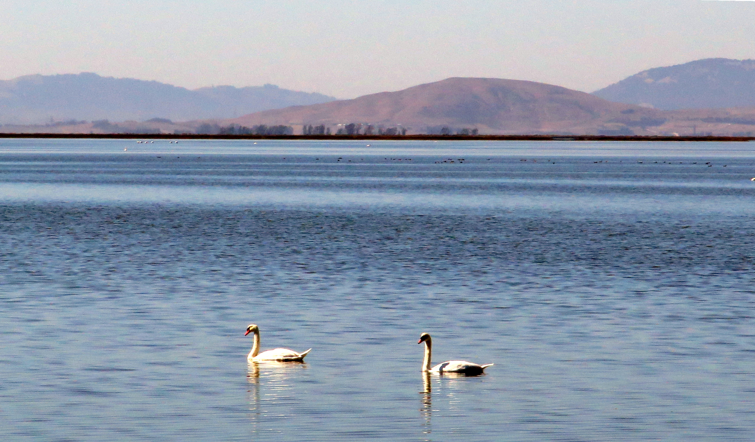
Swans |
|
|
|
|
|
|
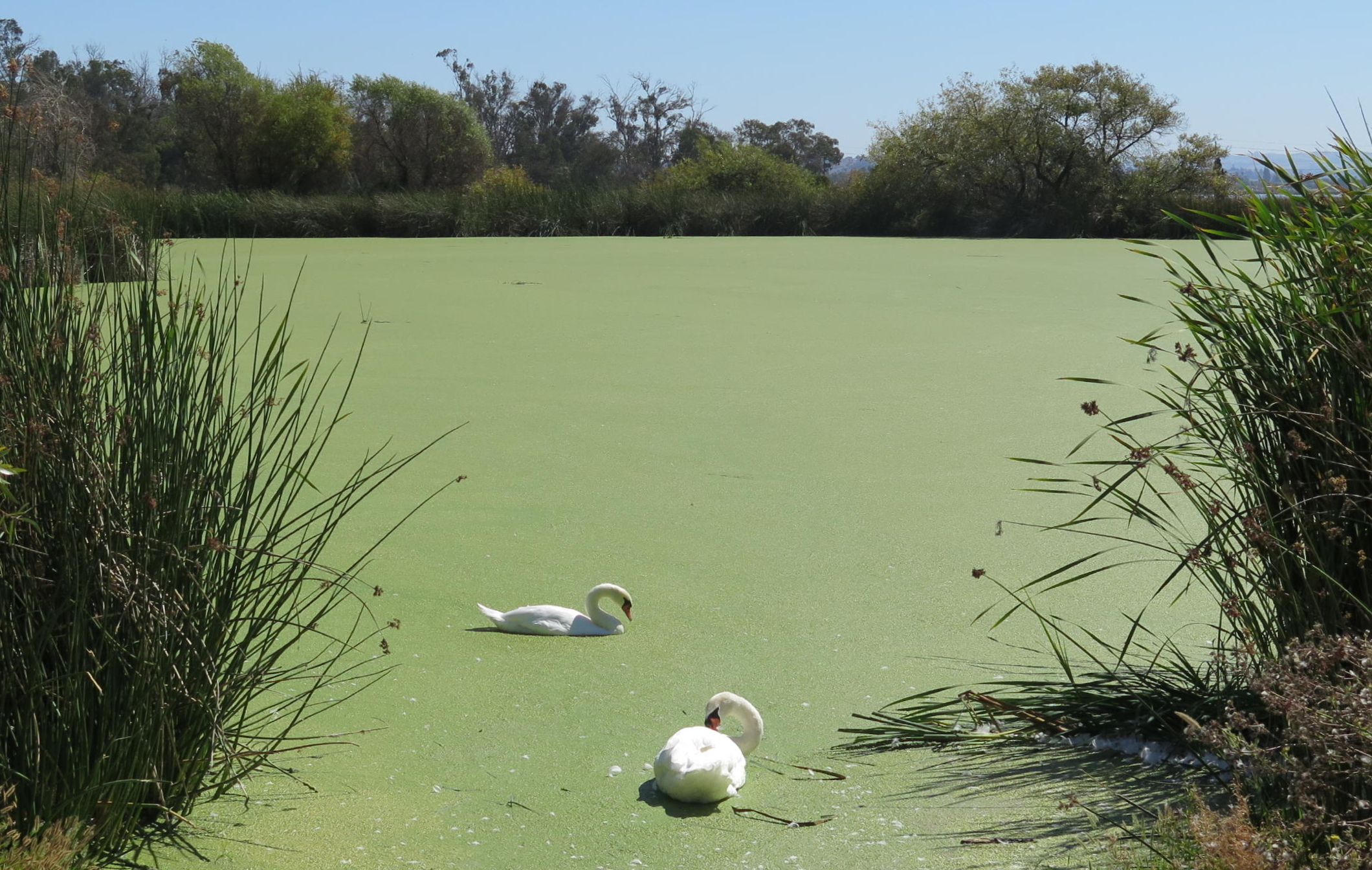
Swans at algae pond | ||
|
|
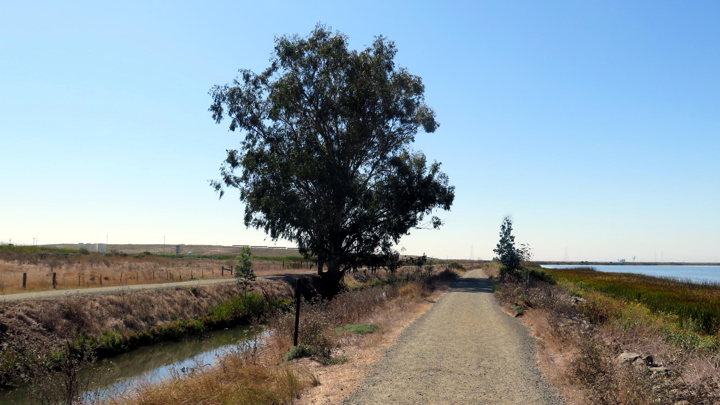
one of few shady spots |
Link to the City website for this park: www.americancanyon.gov/Play/Wetlands-Napa-River-Bay-Trail - look for Wetlands Maps, which maps show that the Napa River Trail (um, here) connects with the much larger (but piecemeal) SF Bay Trail.
The official trail (AllTrails) is 5.7 miles RT w/40 ft of gain, and we did most of it, getting in almost 5 miles. Later at home I noticed the 2 mile extension to the south side, which surrounds the green algae pond. This means one can walk for nearly 8 miles here.
The hikers liked the open-space scenery & great air. I have a feeling we'll be back, during winter or spring.....its closeness is very appealing, similar to Rockville Hills.
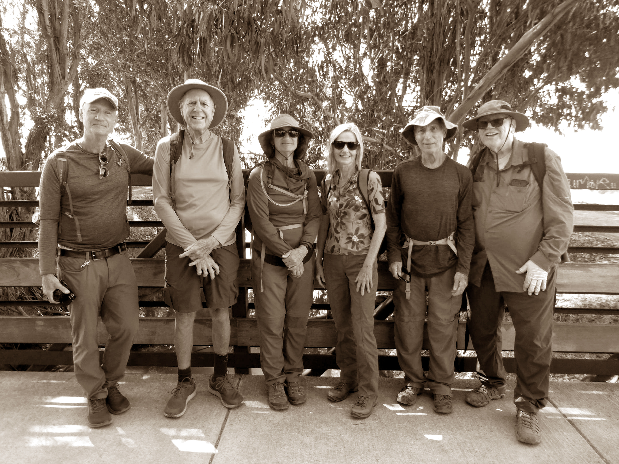
Attendees (left to right in the photo) were: Andrew, me, Barbara, Diane, Rick, & Frank (I modified the color image from Frank).
return to index