Fleming Meadow - Oct. '25
return to index
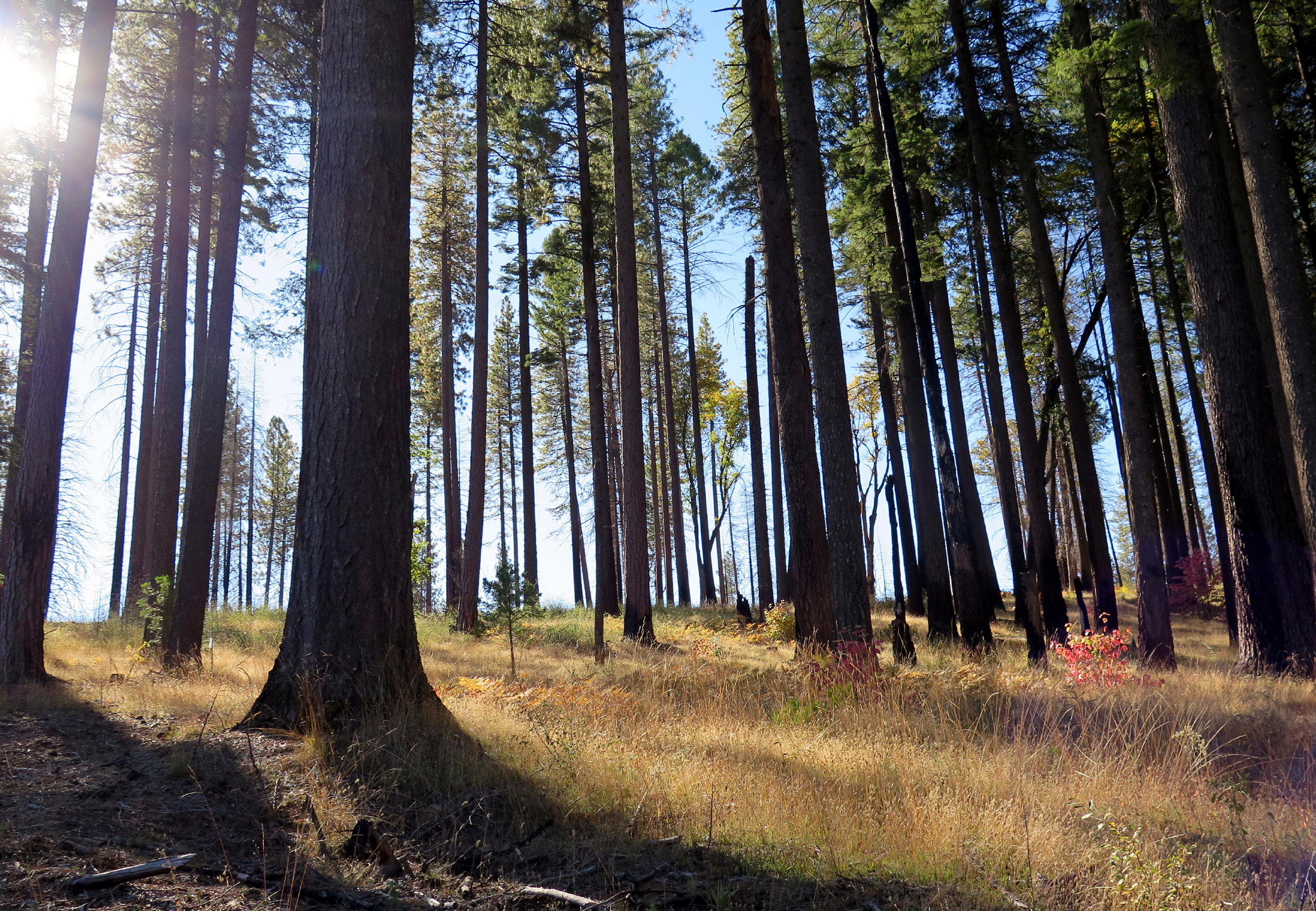
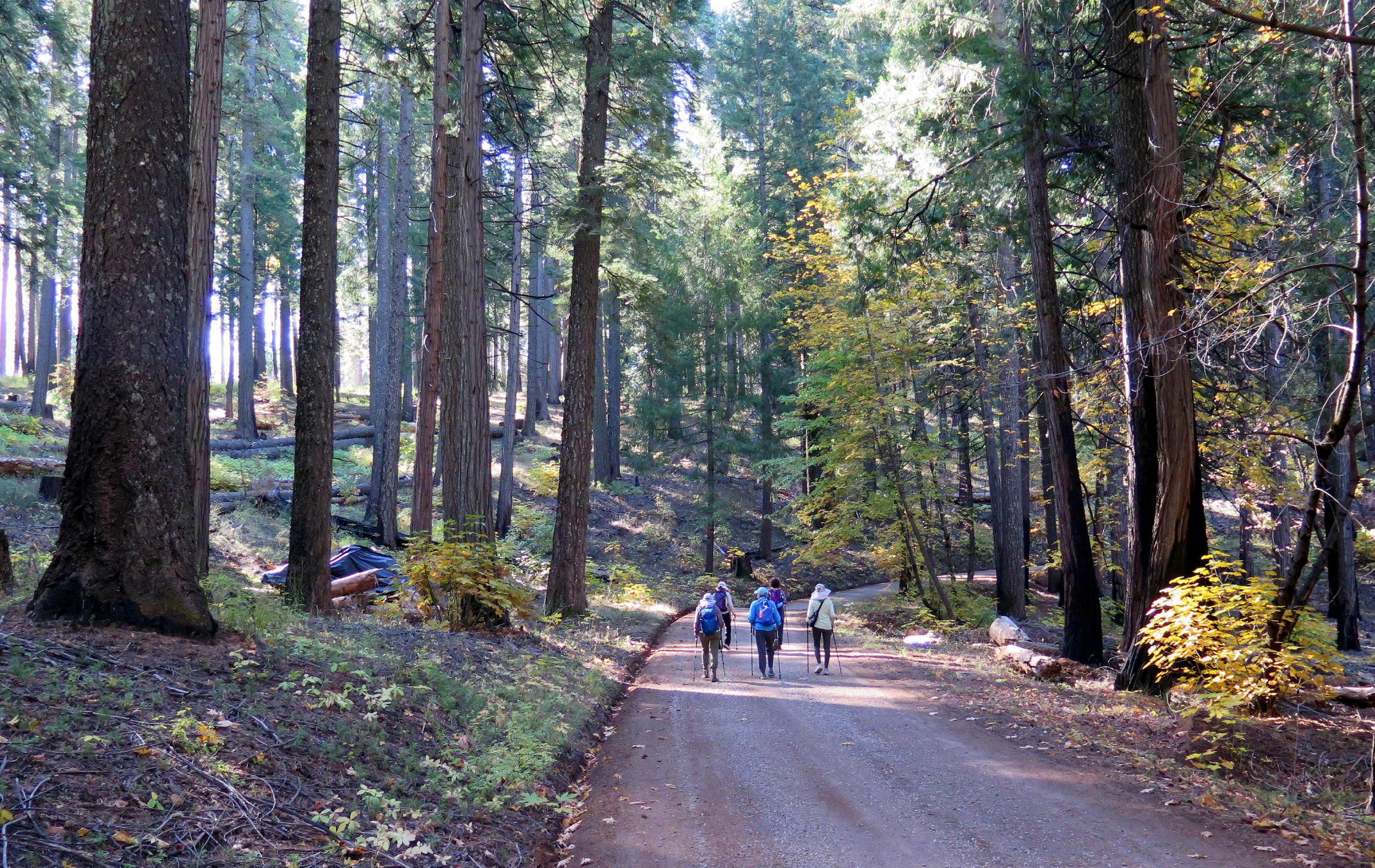
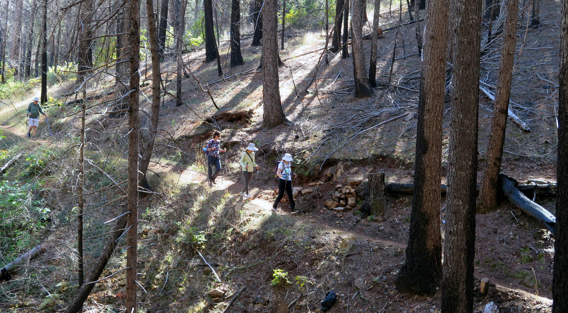
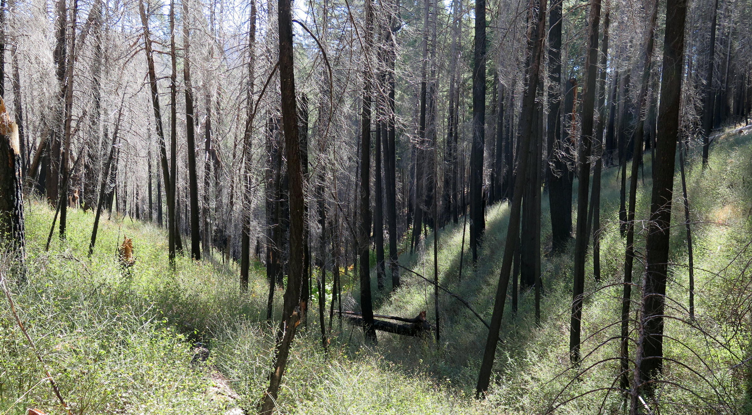
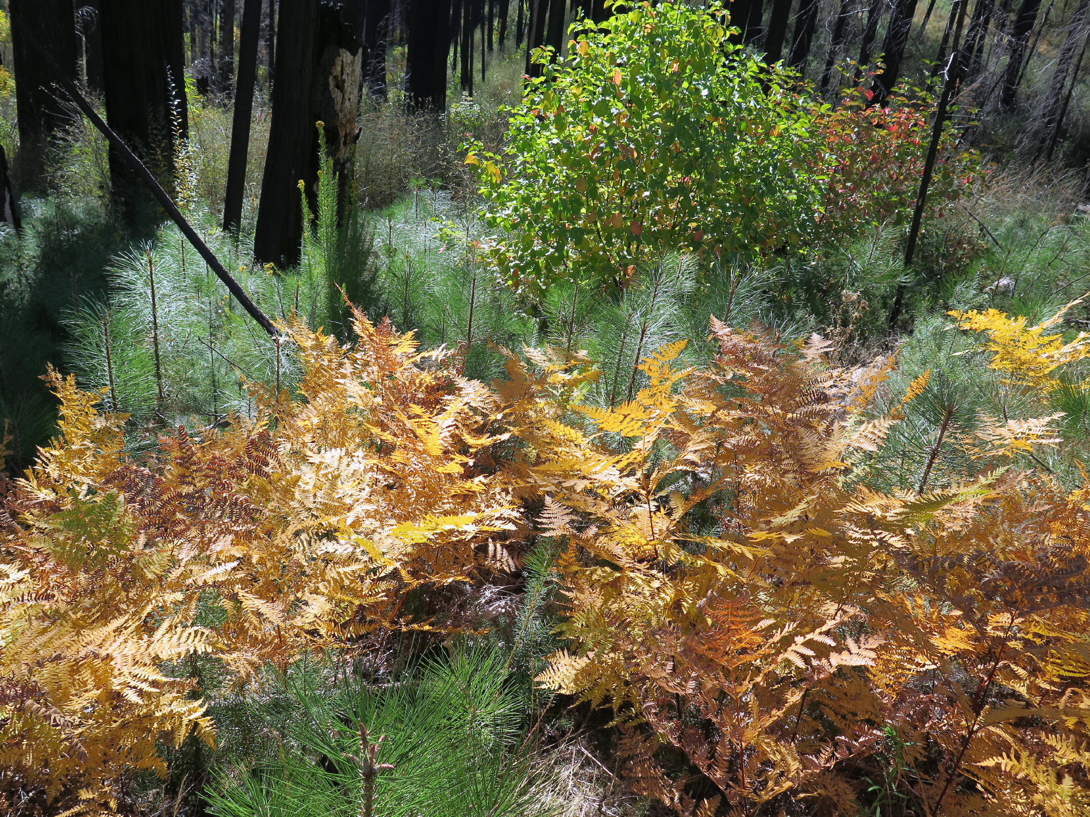
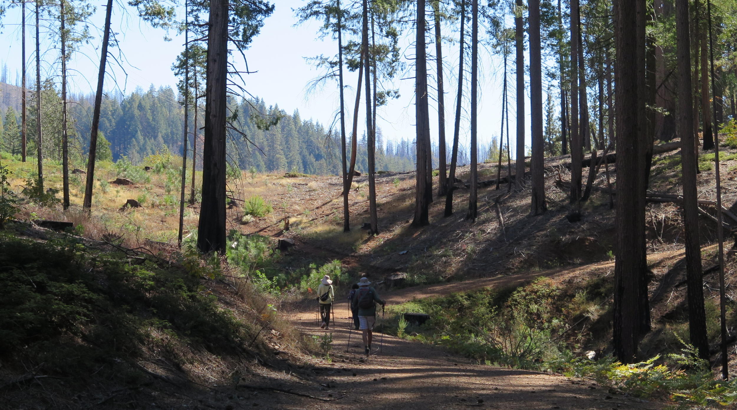
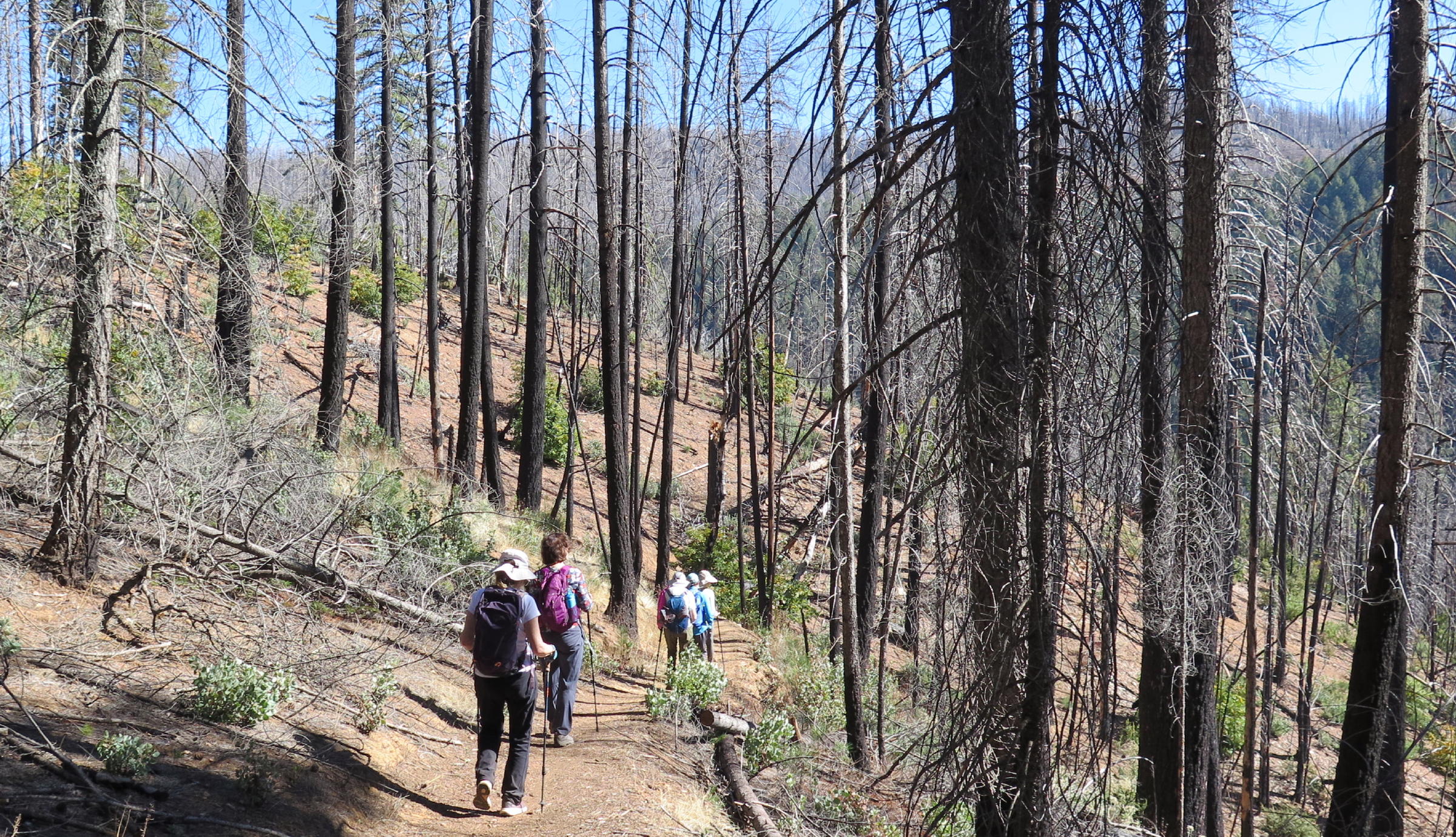
On this walk, the visual contrast of blackened trees and vibrant new plants at ground level, was arresting. It's been exactly four years since the terribly destructive Caldor fire. Many of the taller conifers survived, and being 'blackened' below, with healthy-looking needles above, was a common look.
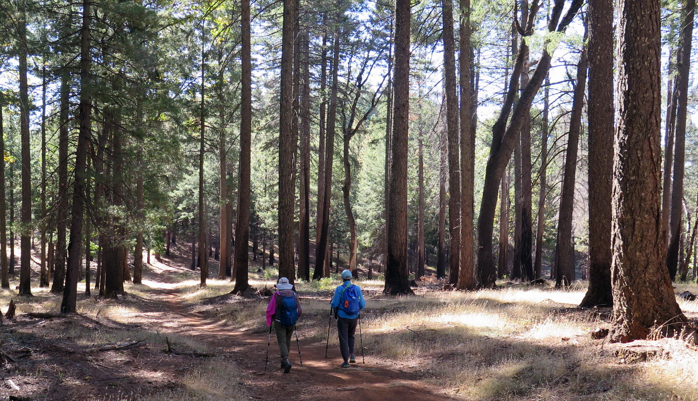
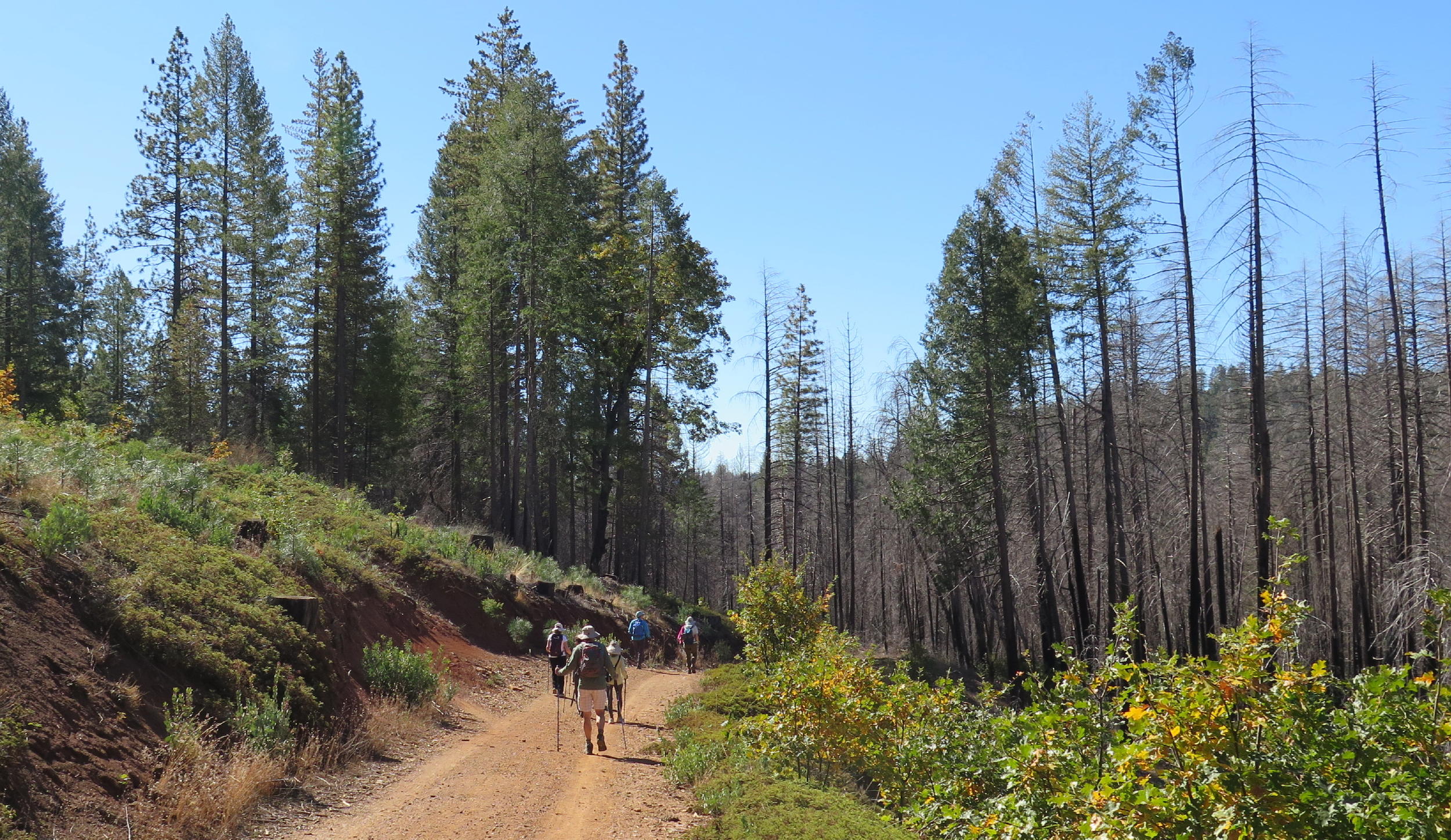
As for the walk, this loop trail has a good mixture of uphill & downhill sections, and we had occasional views of terrain suddenly dropping off, to the SE, at the far end of the trail, but more on that later.
note - on a pc or laptop you can zoom into any part of a photo, but alas, not on a smartphone.
|
|
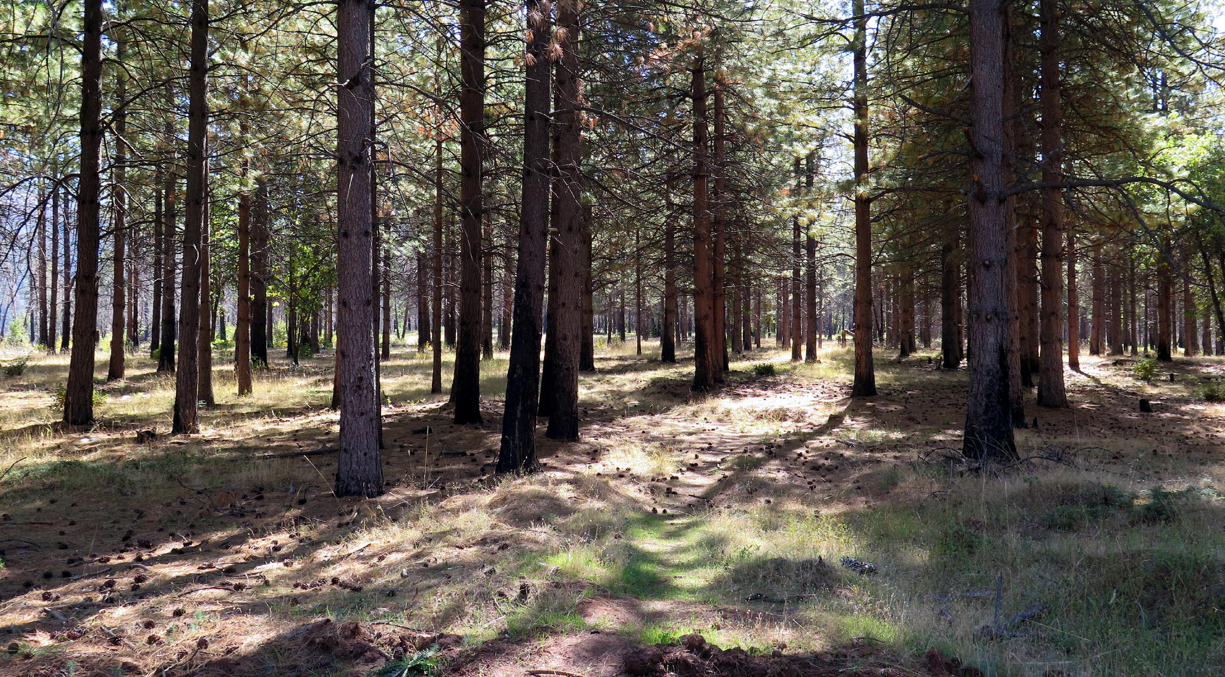
starting out |
|
|
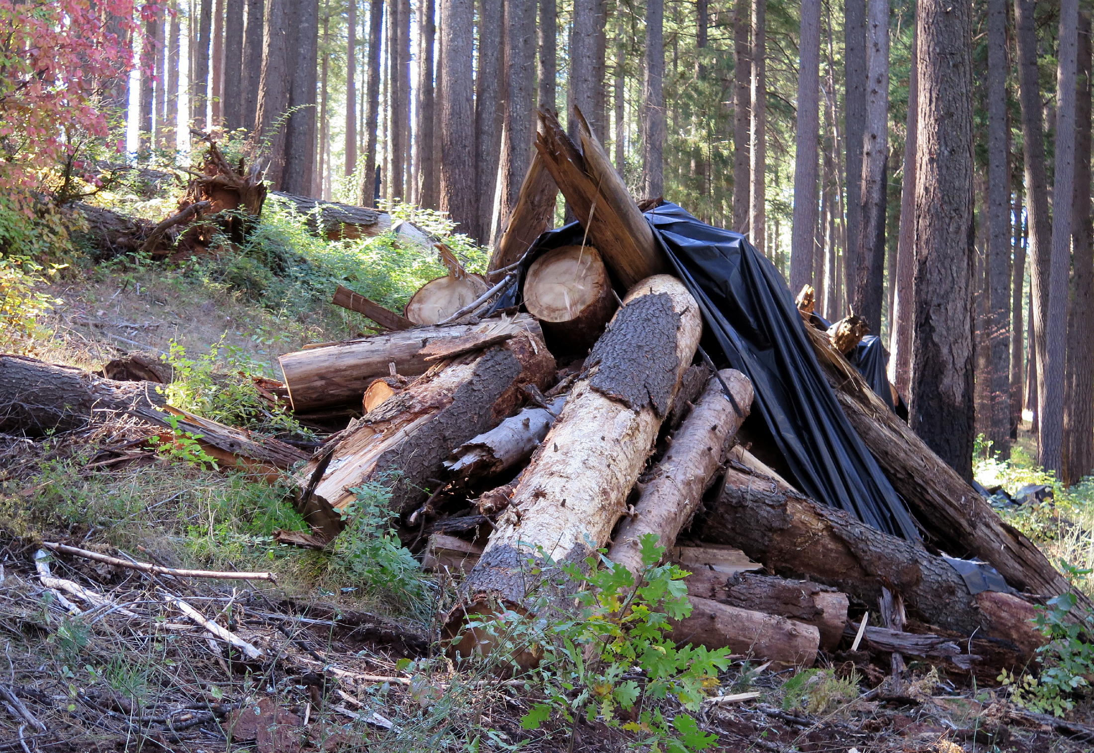
part of the cleanup | |
|
|
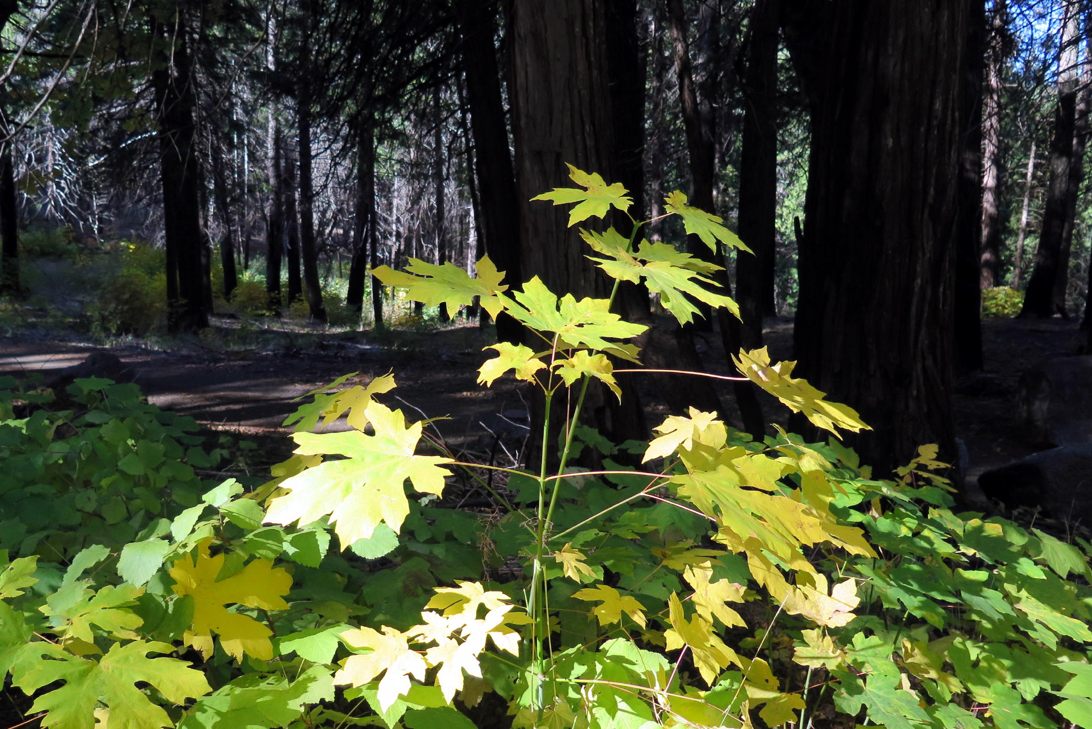
big leaf maple |
|
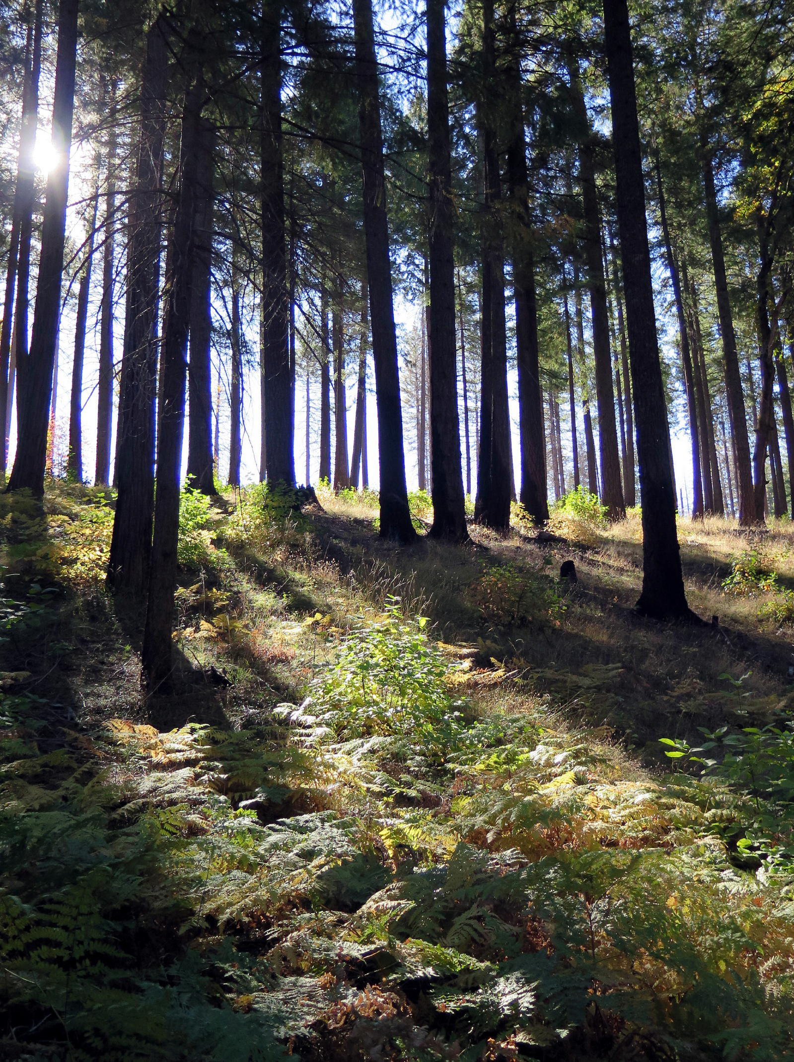
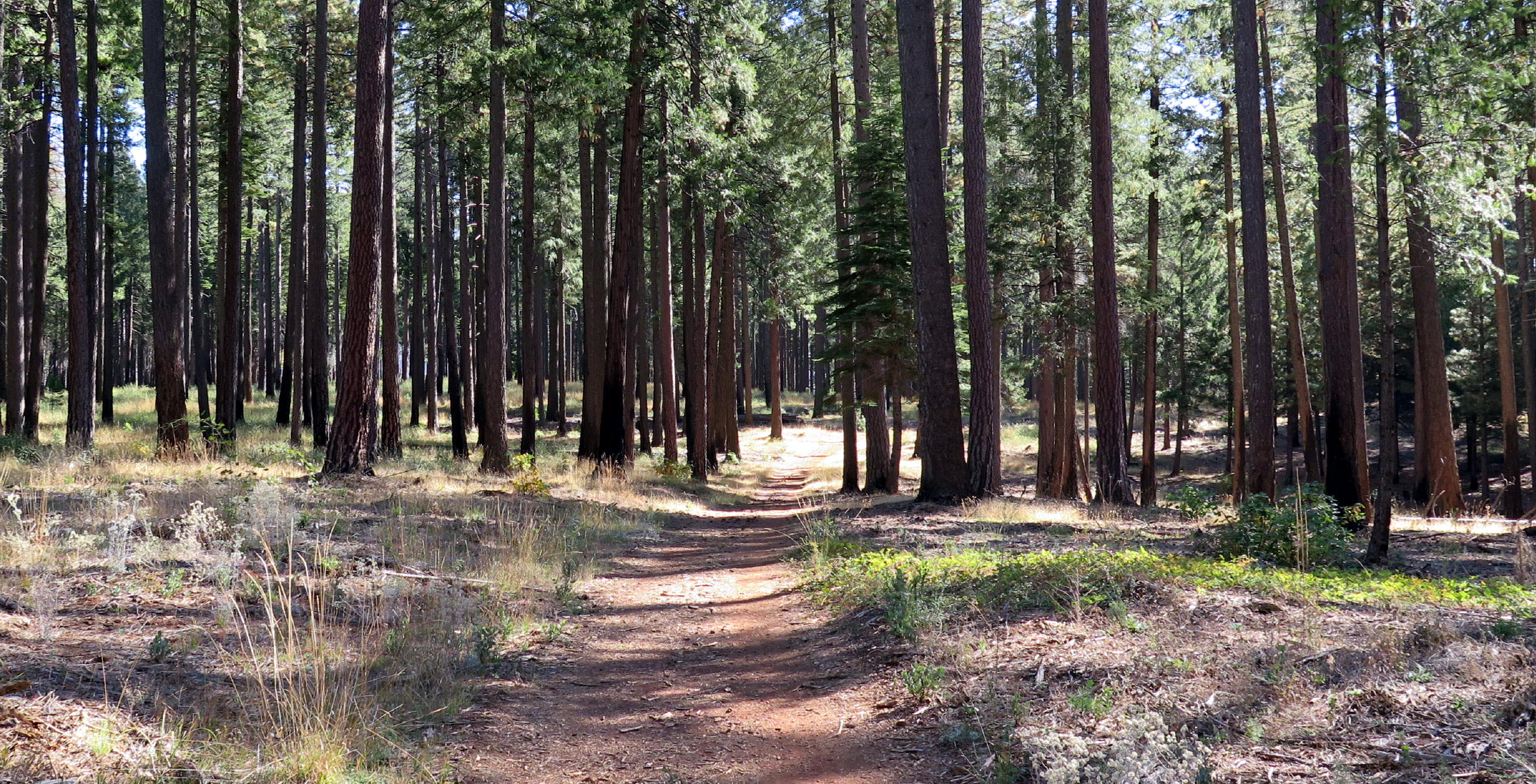
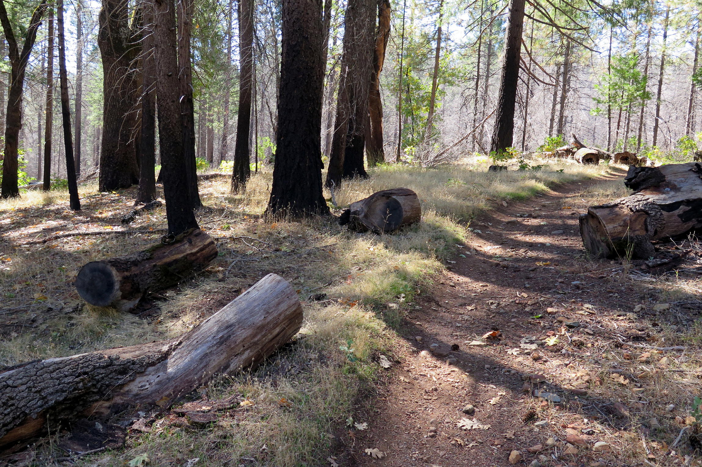
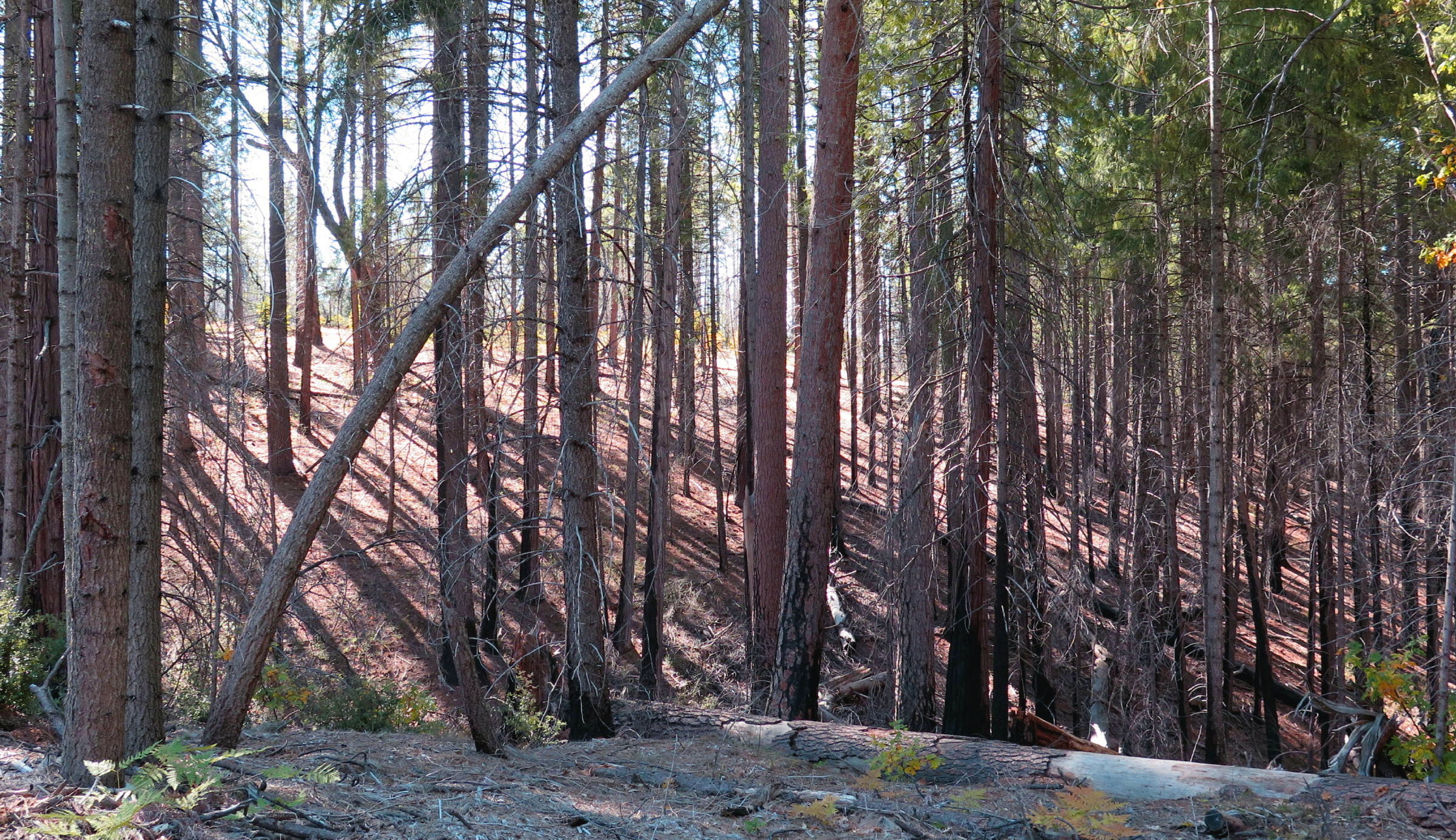
roads or single track |
|
|
|
|
late October light |
|
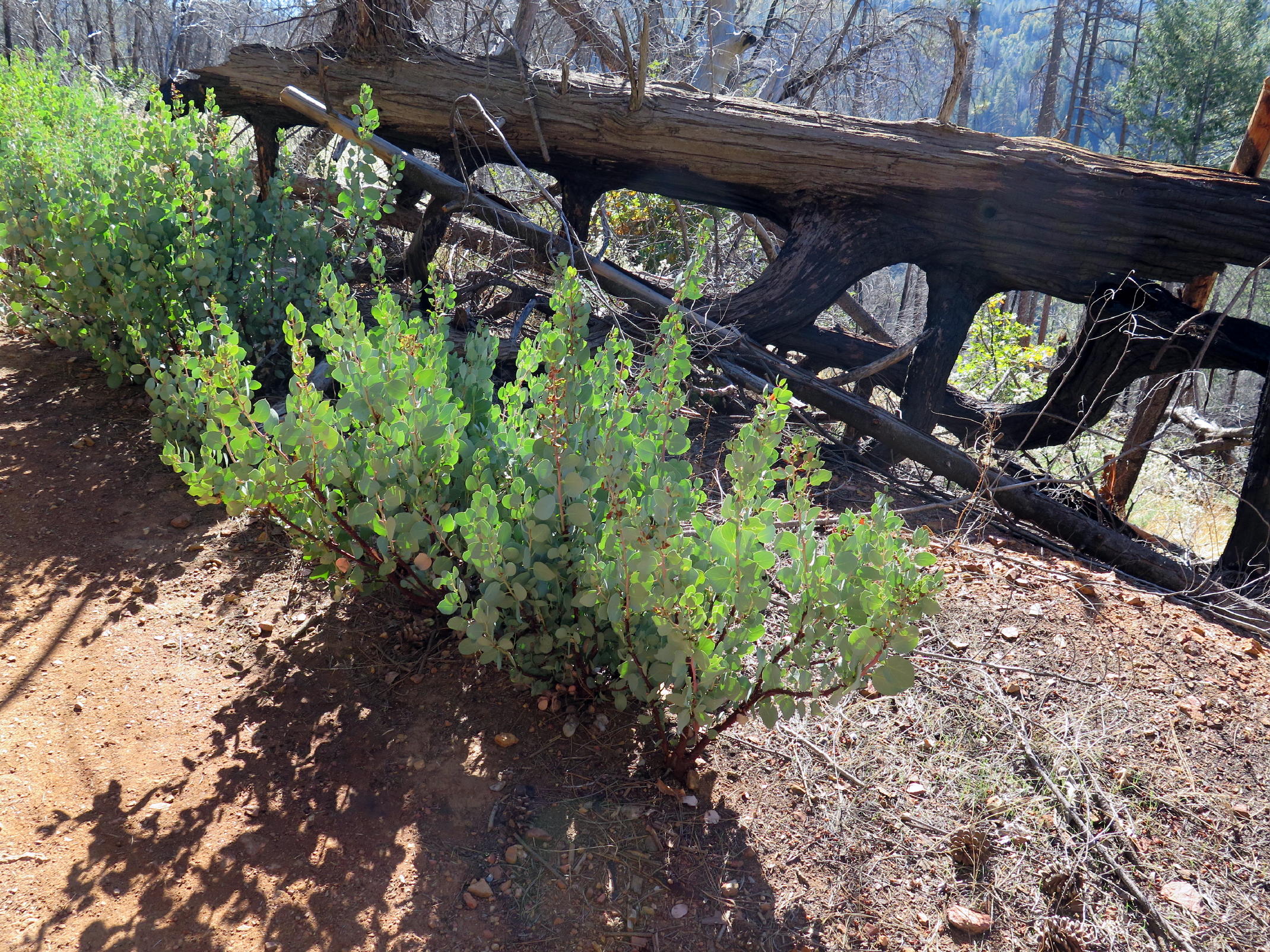
Whiteleaf manzanita |
|
|
|
|
|
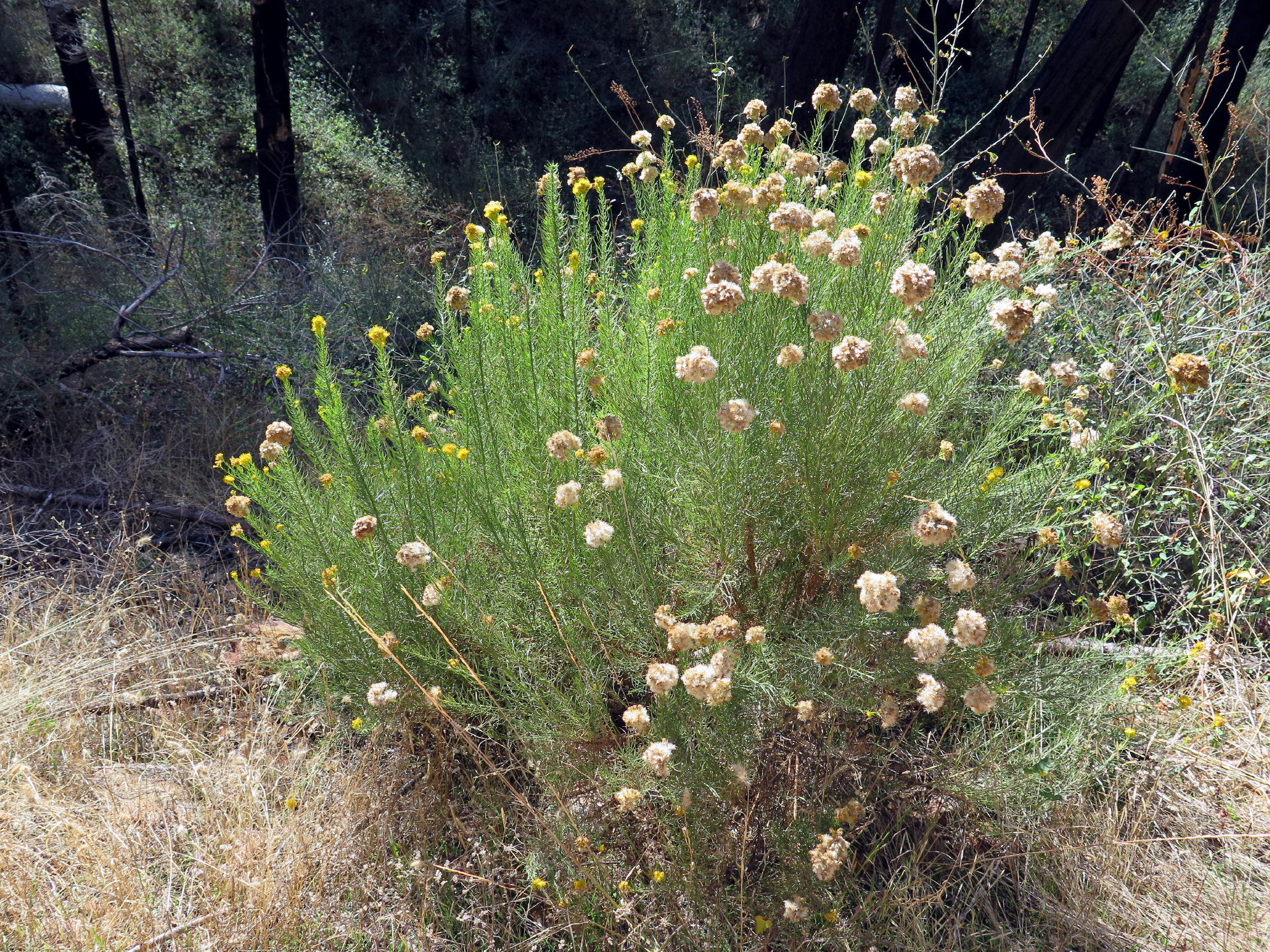
rabbit brush |
note 1 - everywhere there is evidence of restoration work that's been done over the last few years. Post-fire, the trail must have been blocked by logged trees, as restoration began. There remain many burnt pine trunks which were cut to enable trail usage.
After sitting on logs & having a nice lunch chat, we finished the rest of the trail in about an hour.
 |
lunch spot |
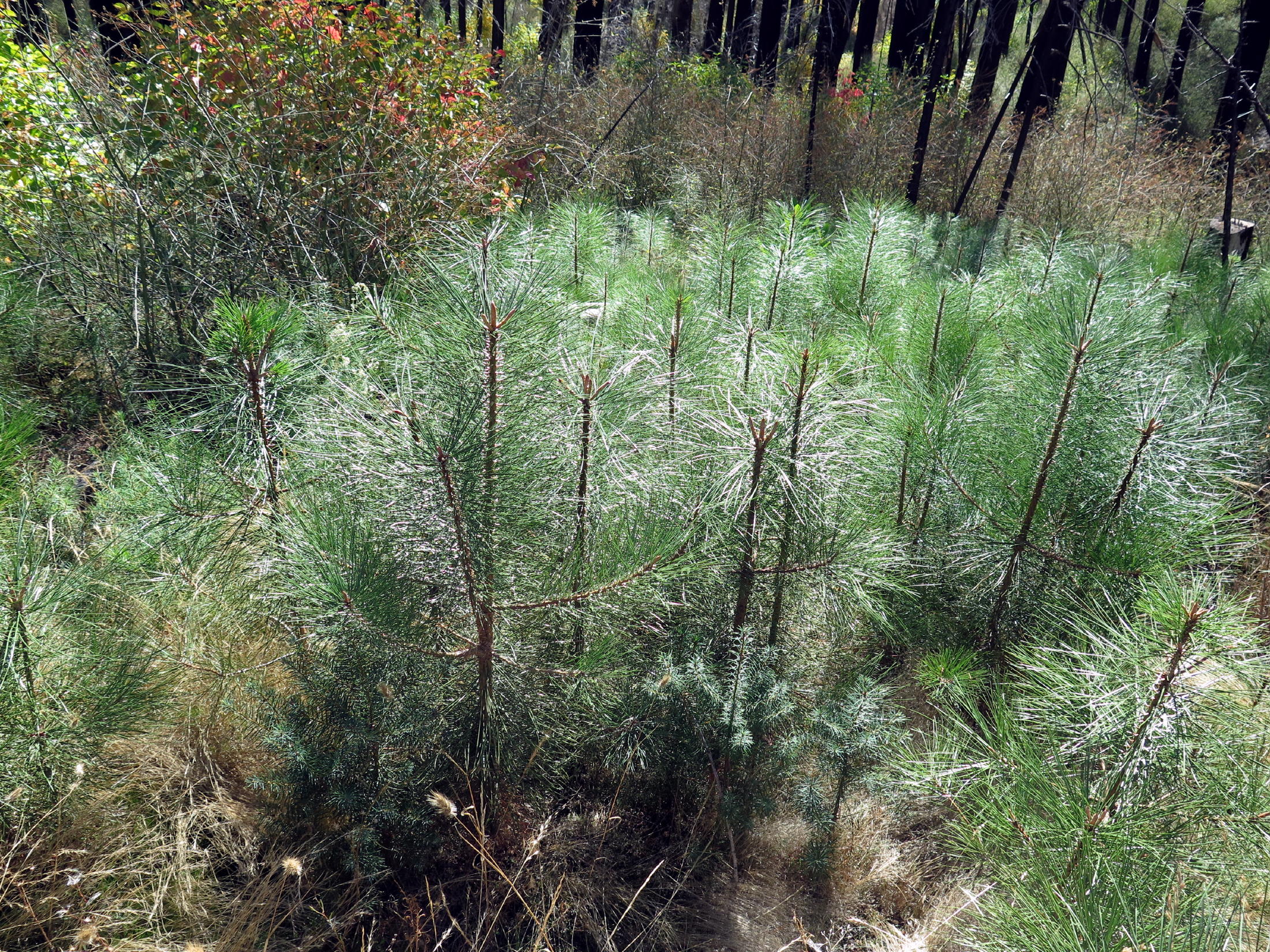 |
young pines, a good sign |
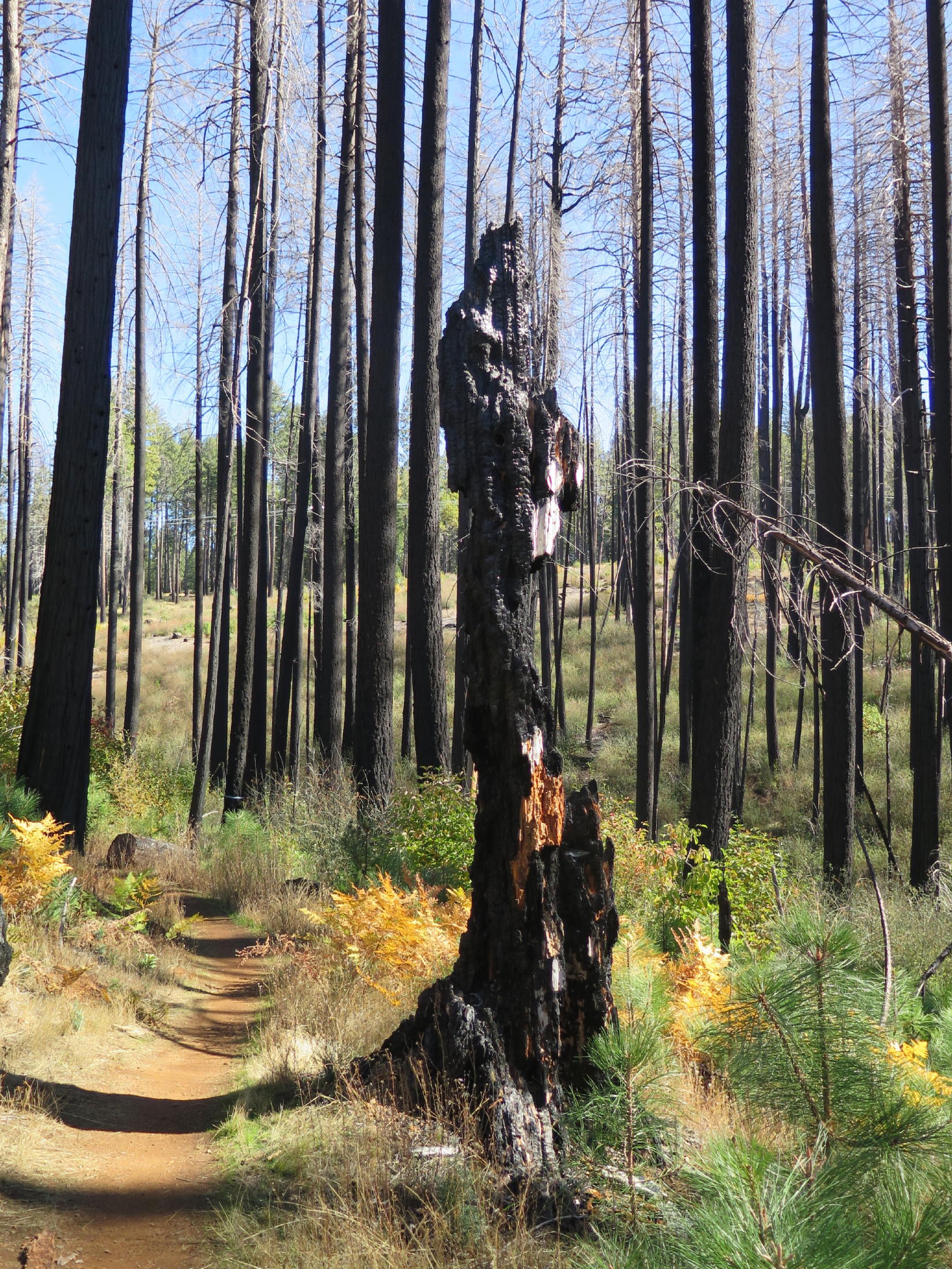 |
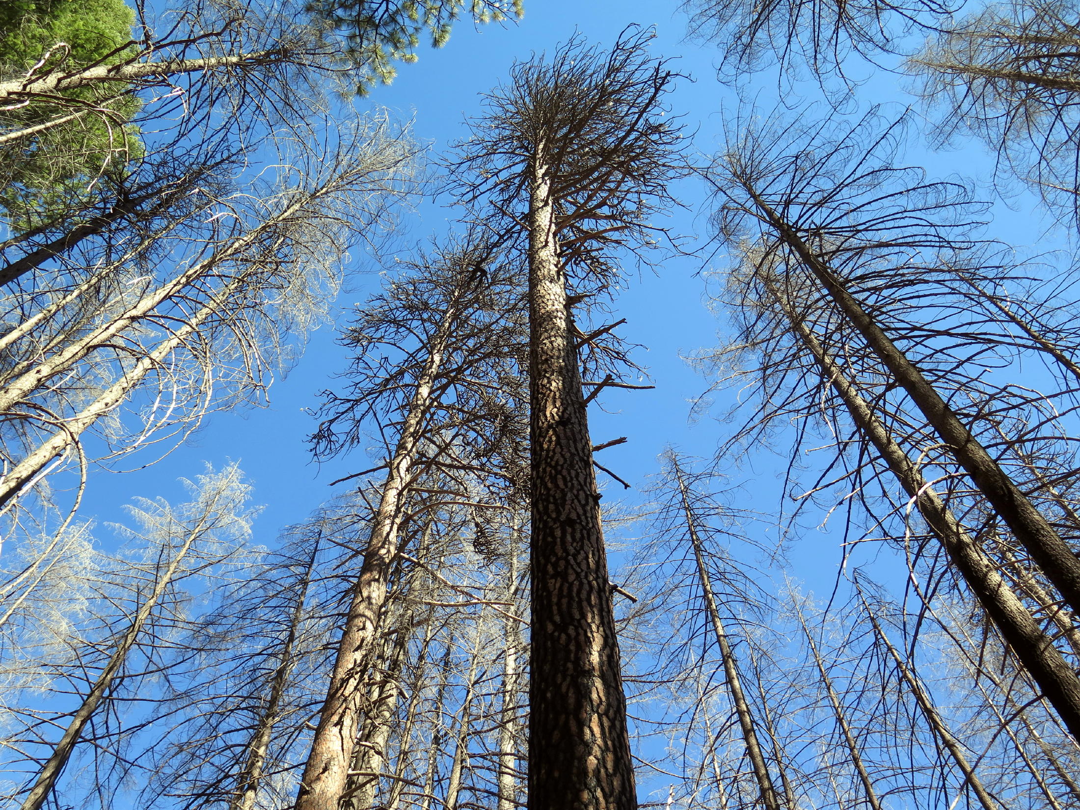
monument to devastation |
 |
 |
Max & Maryam > |
 |
||
 |
 |
Camp creek watershed |
 |
||
 |
view from car park |
We did the loop trail anti-clockwise, as the Brits say. The walk was 5.1 miles with 750 ft. of gain, sometimes steep. Being flat-landers, this is always a good three-hour workout for the group, and we usually only stop for lunch.
Much of the woods is still here, and at 4,000 ft. you are in the mountains. Seeing so much thriving undergrowth was encouraging. This hike is also closer to home, so all of us were back early.
Today's walkers: Barb, Jean, Cynthia, Donna, Maryam & Max and me. I apologize for not getting a group photo.
Thanks to everyone who attended !
return to index
Epilogue - about the terrain: back at home, the AllTrails (AT) topo map for Fleming Meadow shows the table-like land where the loop trail is, rapidly drops 1,400 ft. to Camp Creek at the SW part of the property.
Just downstream, this modest creek receives discharge flow from two dams on Sly Park (or Jenkinson) Lake, and only five miles downstream at Somerset (in the wine/gold country), becomes the North Fork of the Cosumnes River.
return to index