Lake Clementine - May '25
return to index
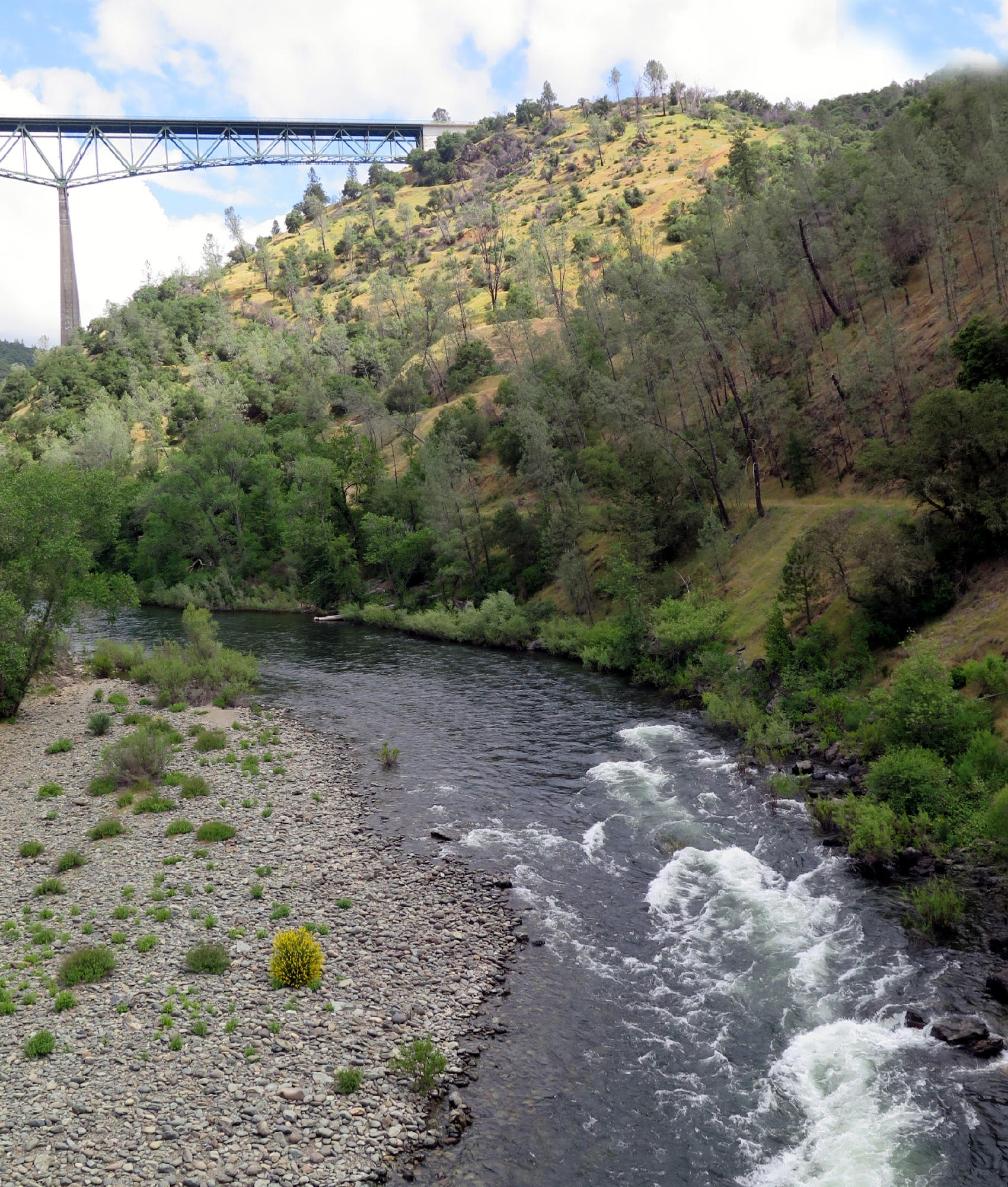
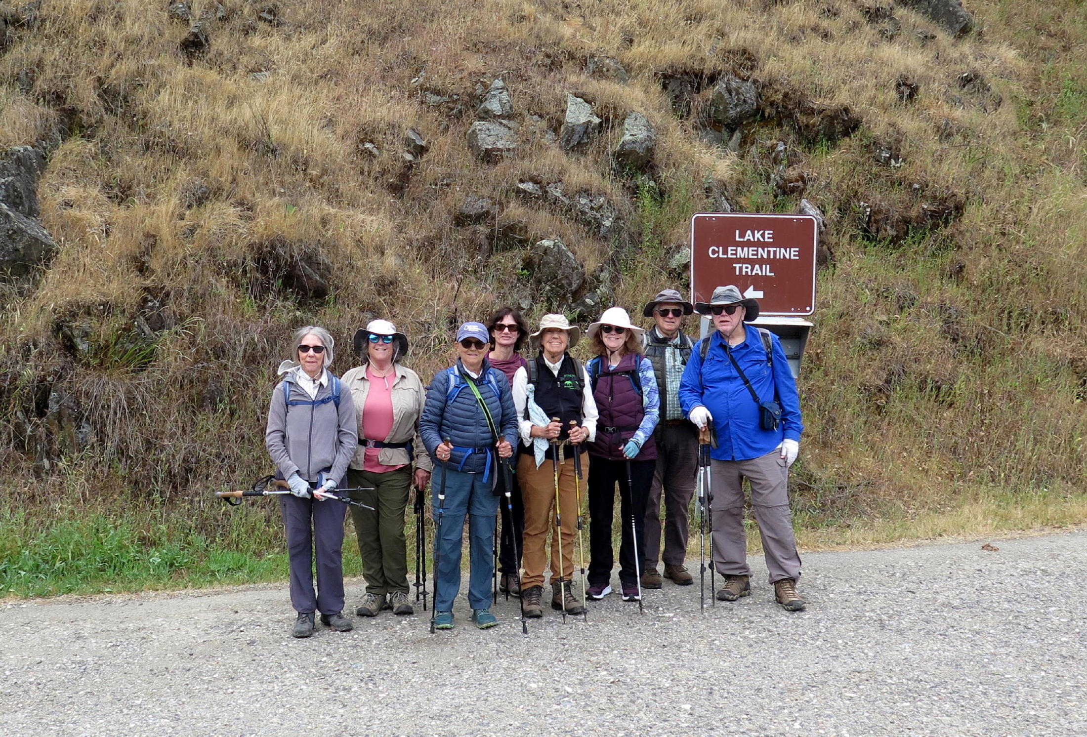
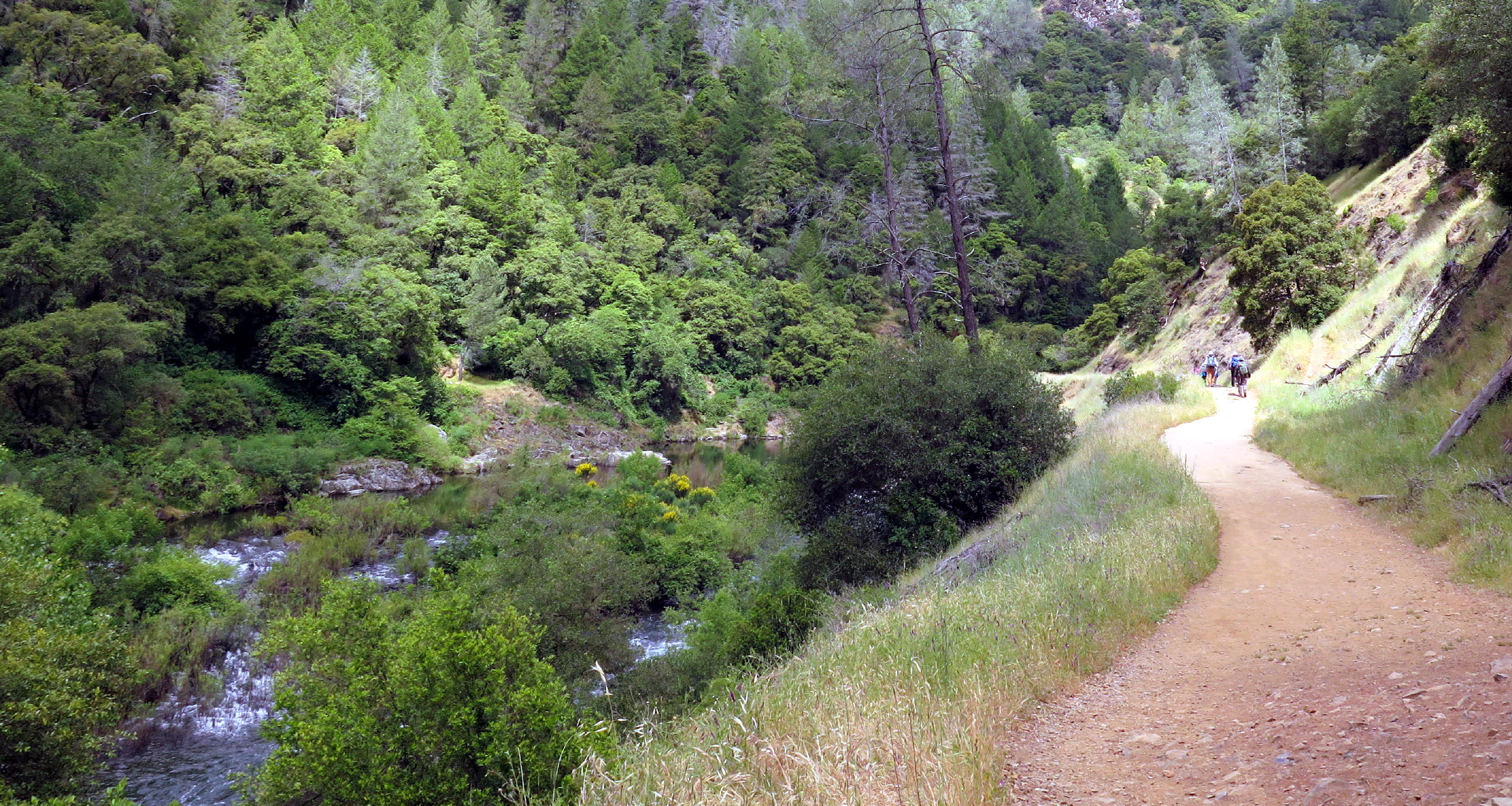
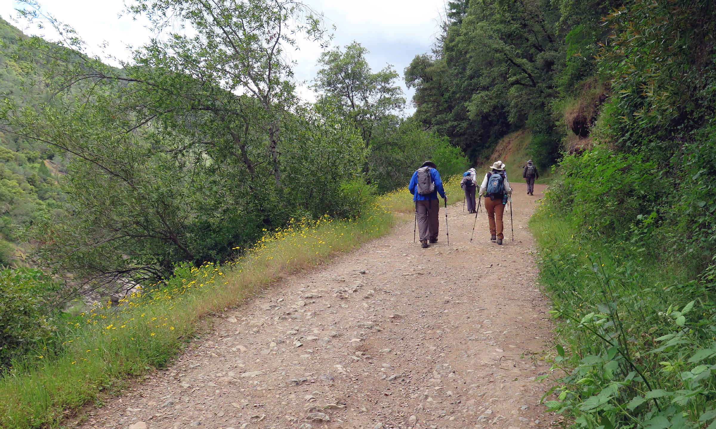
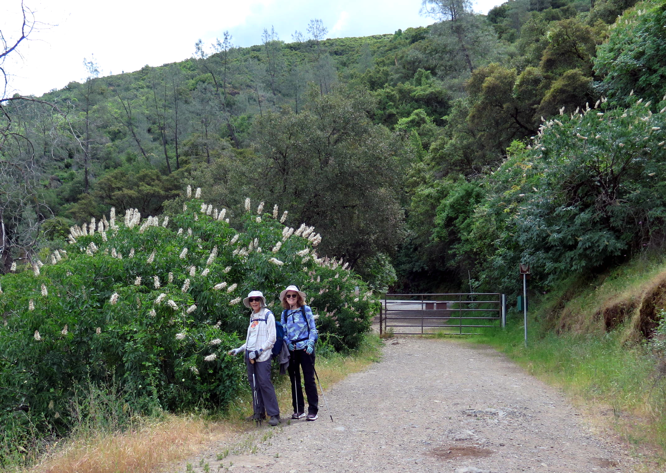
On the 2nd Tuesday in May, nine of us met in Roseville and carpooled to the Lake Clementine trailhead, located at the Hwy 49/ Old Foresthill Rd. intersection, near Auburn, Ca. This general area is where the north and middle forks of the American River combine. The popular Quarry Trail on the middle fork is only a short drivce away.
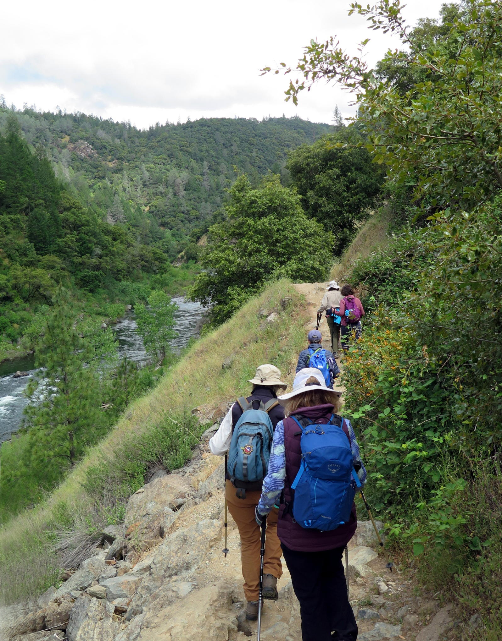
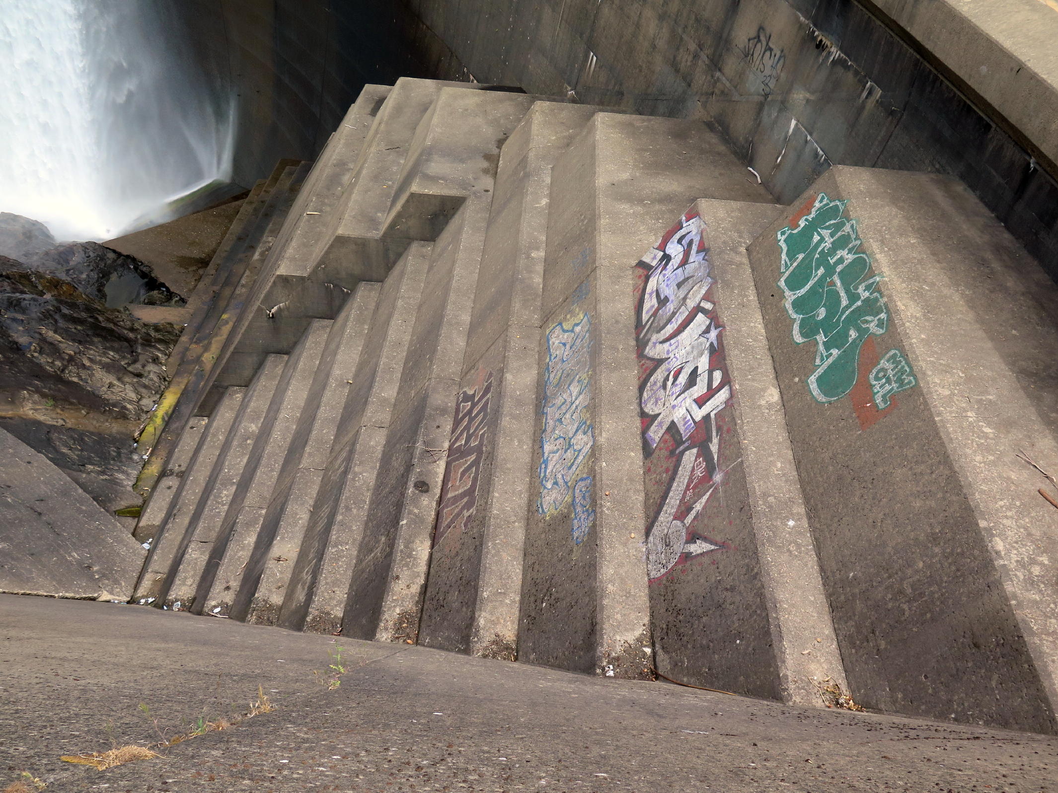
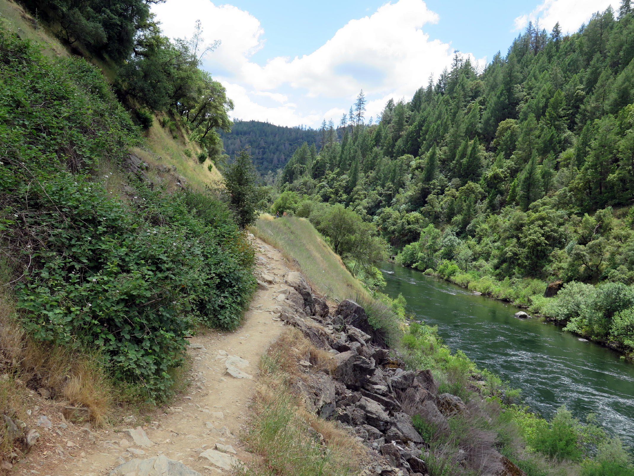
On the walk to the dam, we had a long, steady uphill grade to a high point, from where we dropped to lake level. As you approach the dam, the percussion sound becomes deep & impressive.
|
|
first look at trail |
|
|
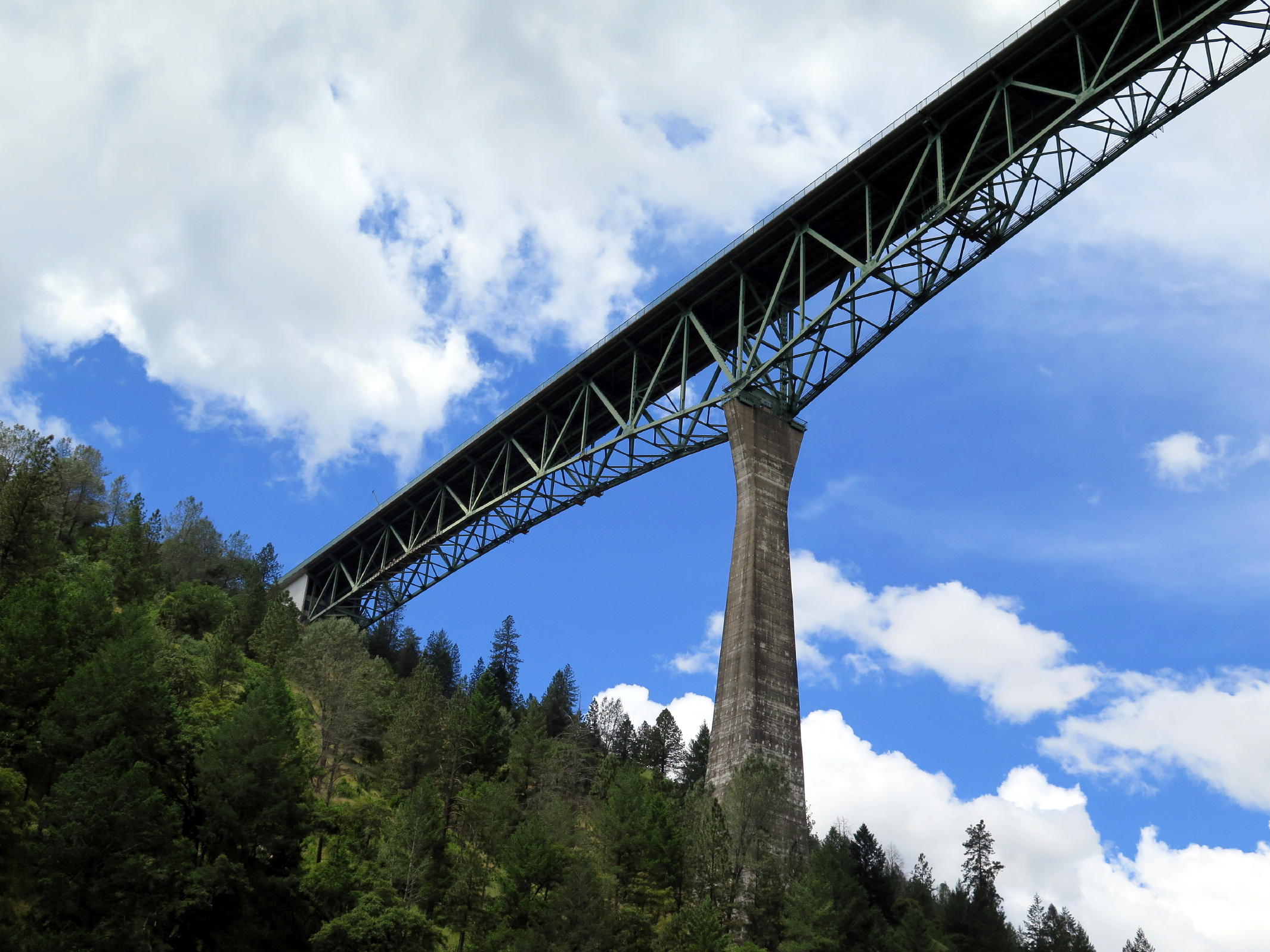
Foresthill Rd. bridge | |
|
|
narrow trail at first |
|
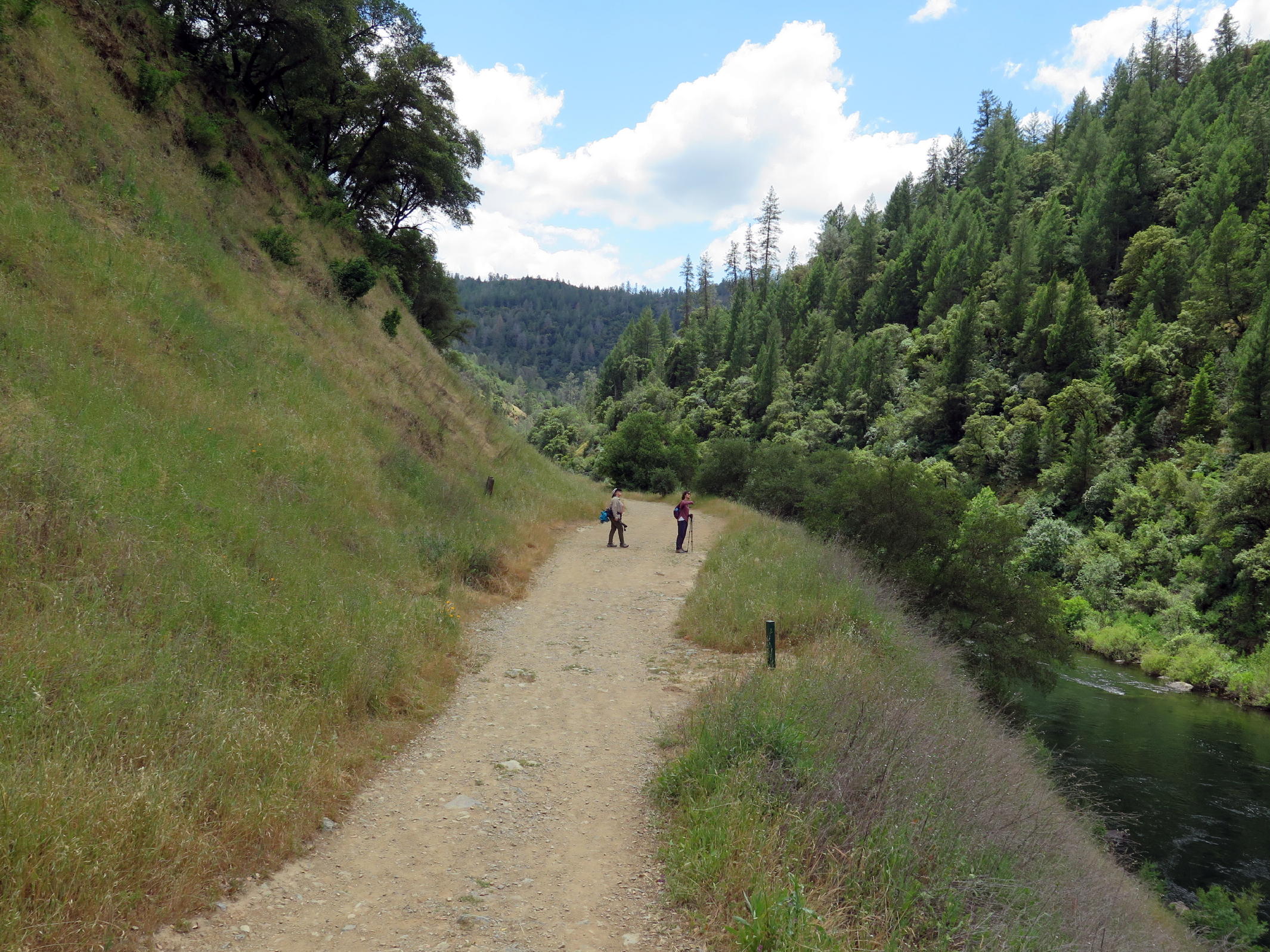
soon its an easy road | ||
|
|
Bay Laurel |
|
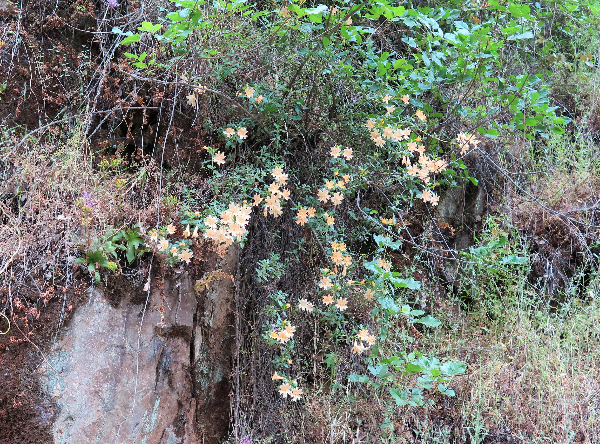
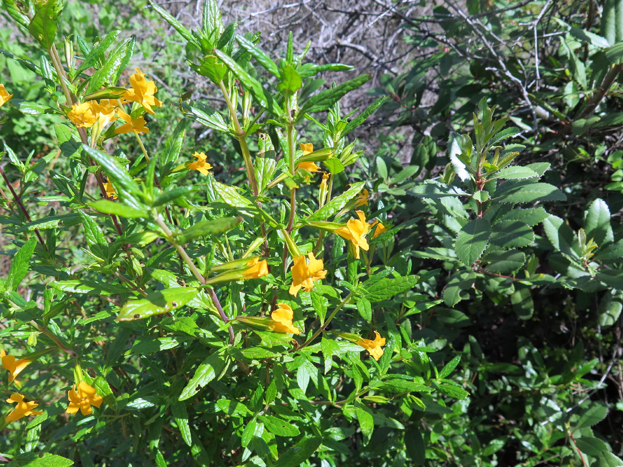
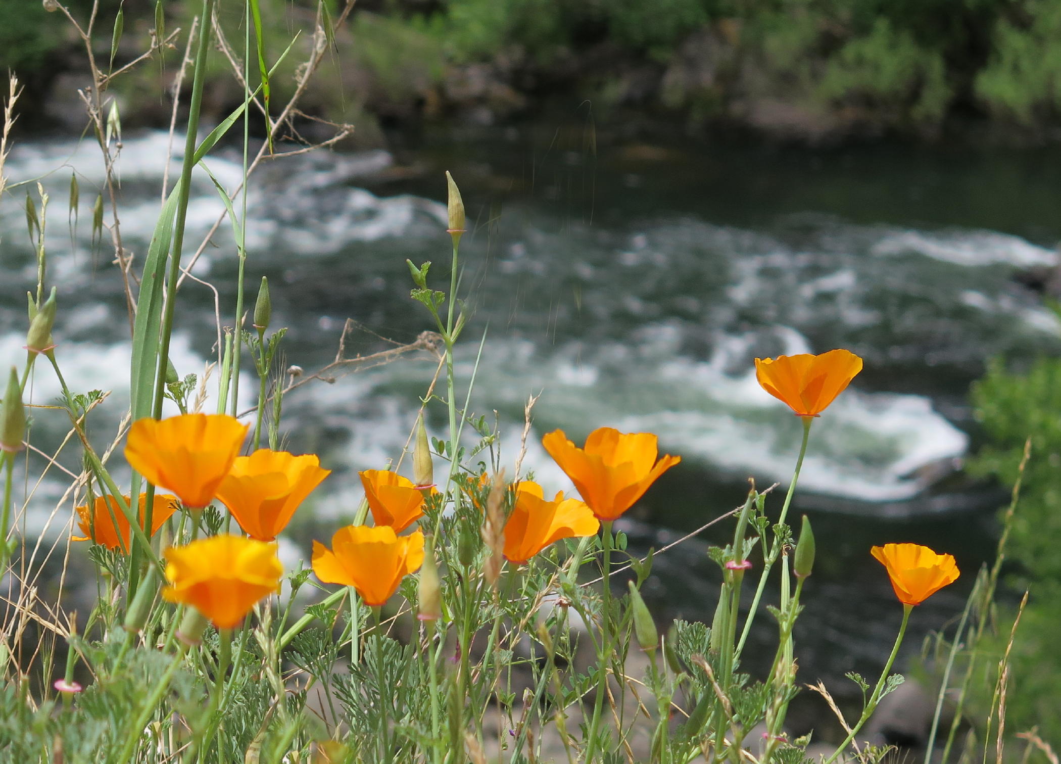
impressive sticky monkey flower, see note 1 |
|
|
|
|
steady uphill walk |
|
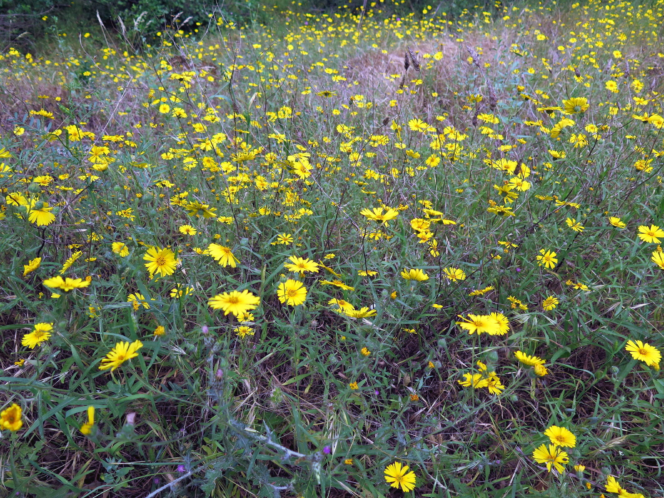
spring madia | ||
|
|
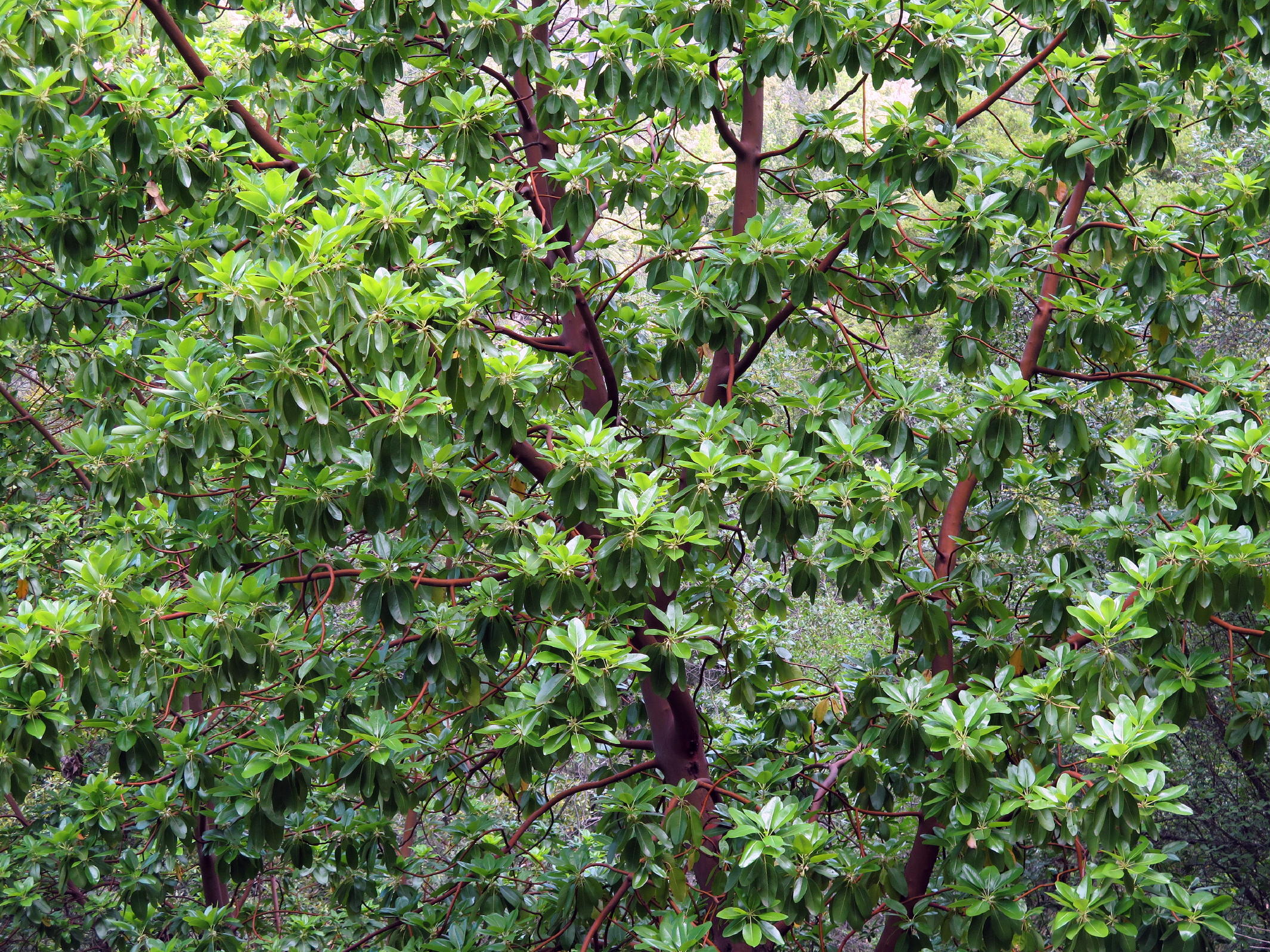
Pacific Madrone (arbutus) |
|
early Buckeye flower |
|
flowering Buckeye trees |
|
|
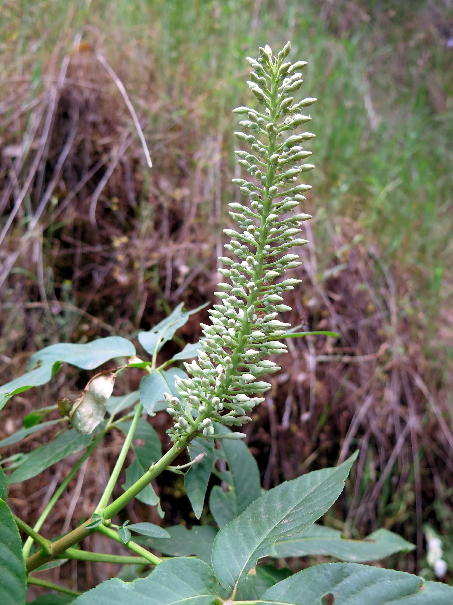
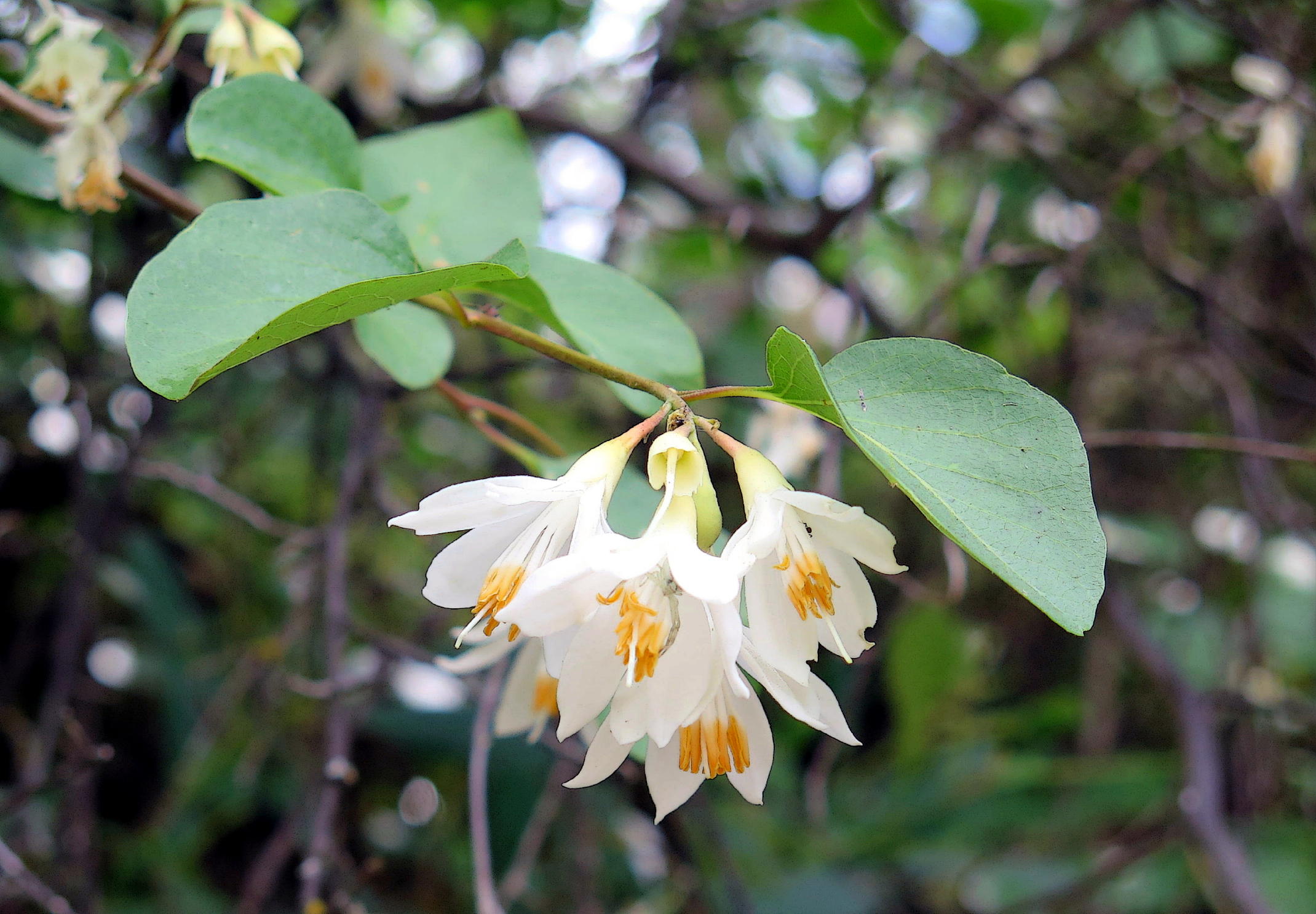
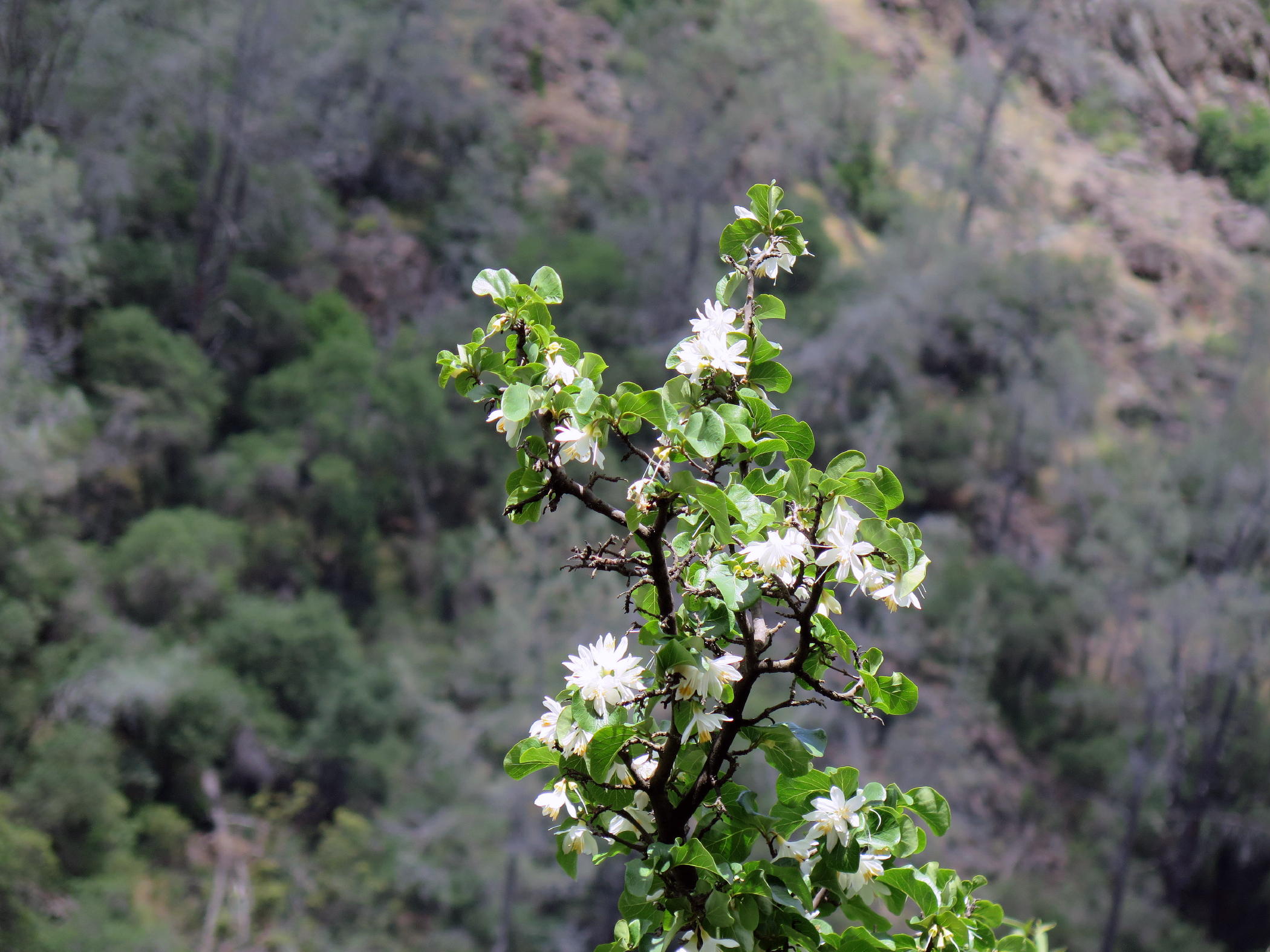
Japanese Snowbell, note 2 |
|
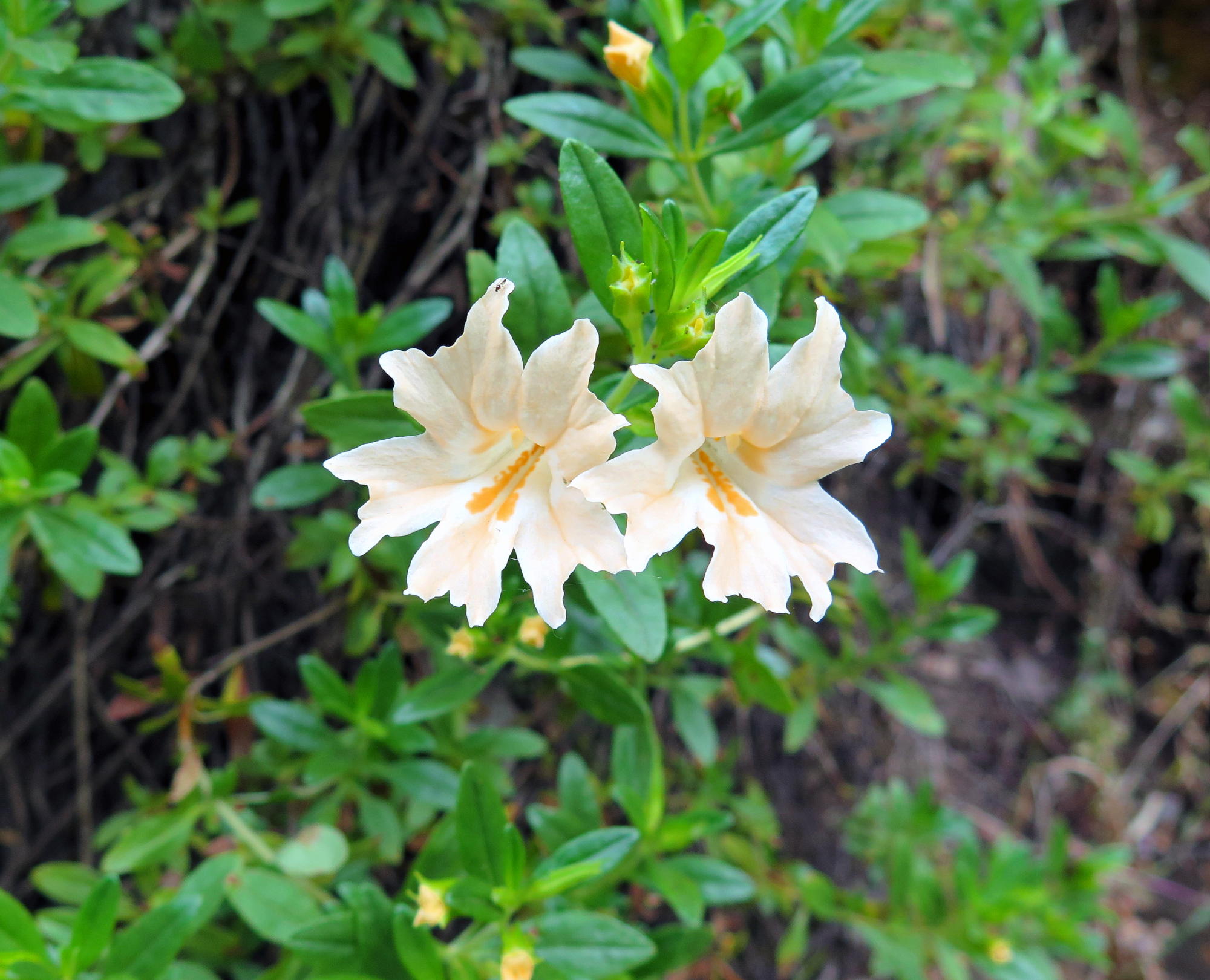
sticky monkey flower |
note 1 - I've never seen this type of sticky monkey flower before, but it comes in many colors (even white and red) and sizes. The one hikers most often encounter is shown in the last image, from the recent Stebbins Canyon walk.
note 2 - plant names are via Picture This. This tree was a bit of a rare bird, too.
We had lunch at the dam, with front row seats. The continuous roar of the water was loud, but not overly, so you could talk to your neighbor.
On the way back we had another long uphill grade.
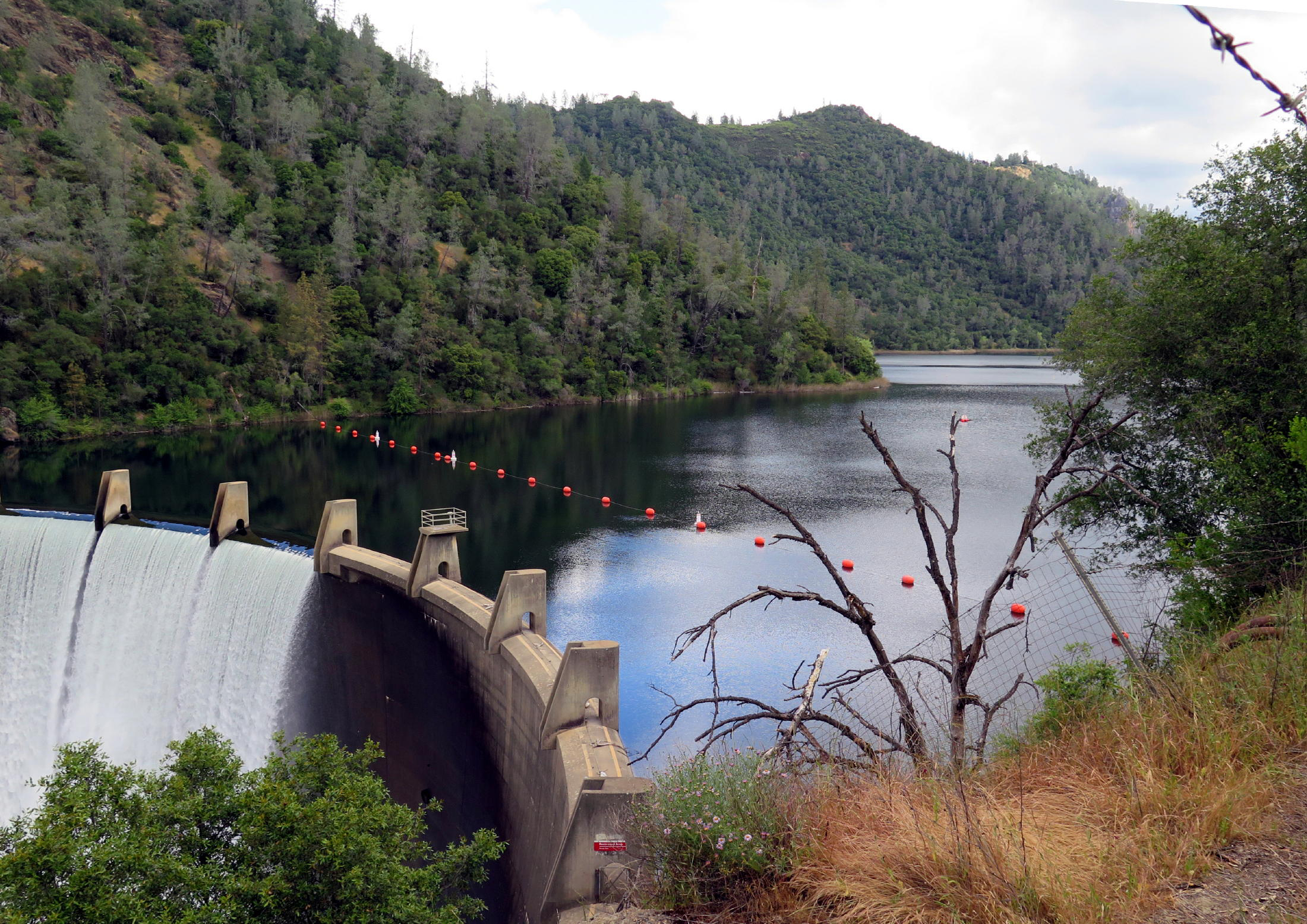 |
Lake Clementine |
 |
Utah Serviceberry |
 |
|
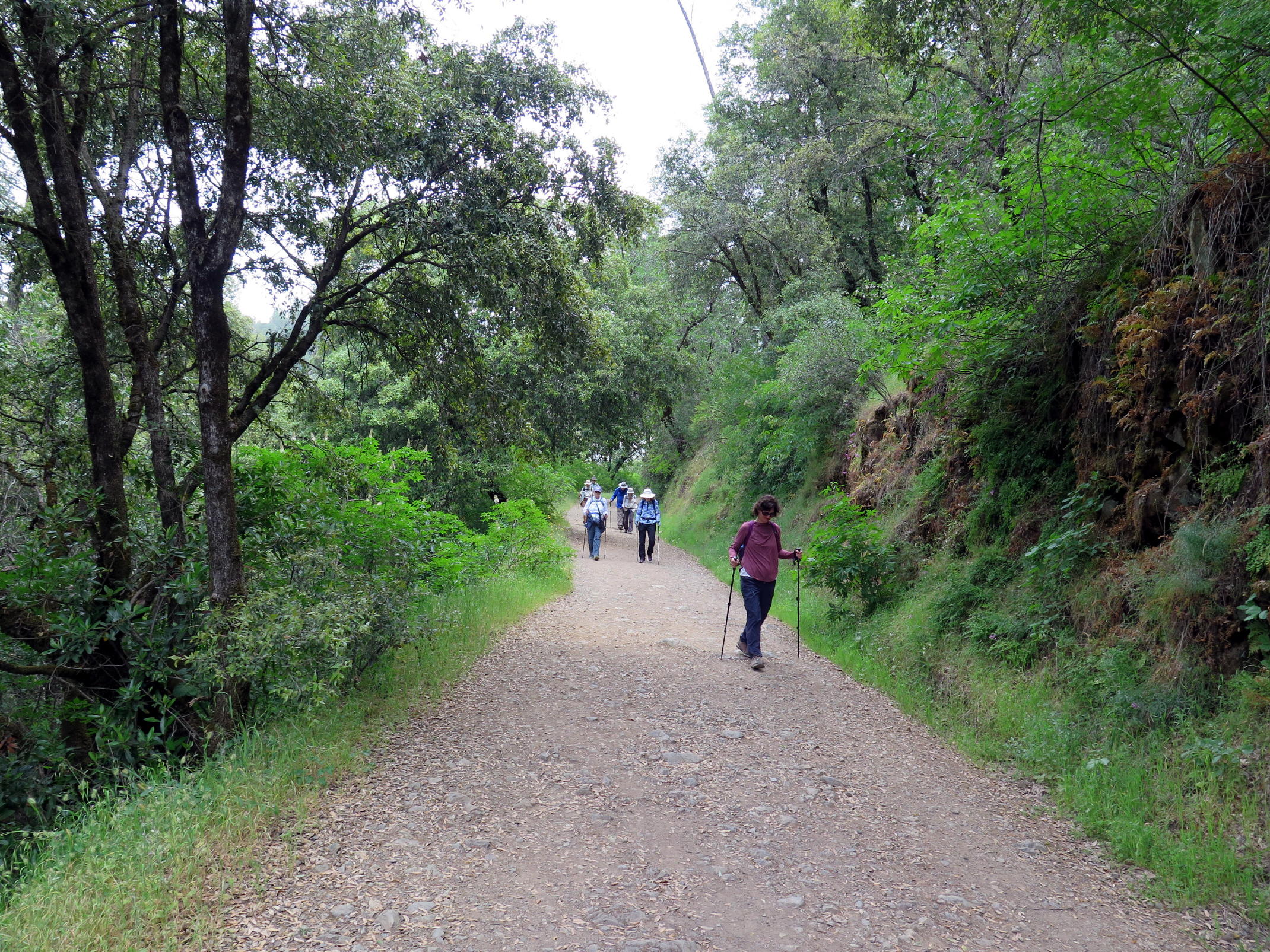 |
uphill trek on the way back |
 |
 |
||
 |
Marcia & Barbara and the bridge |
 |
see note |
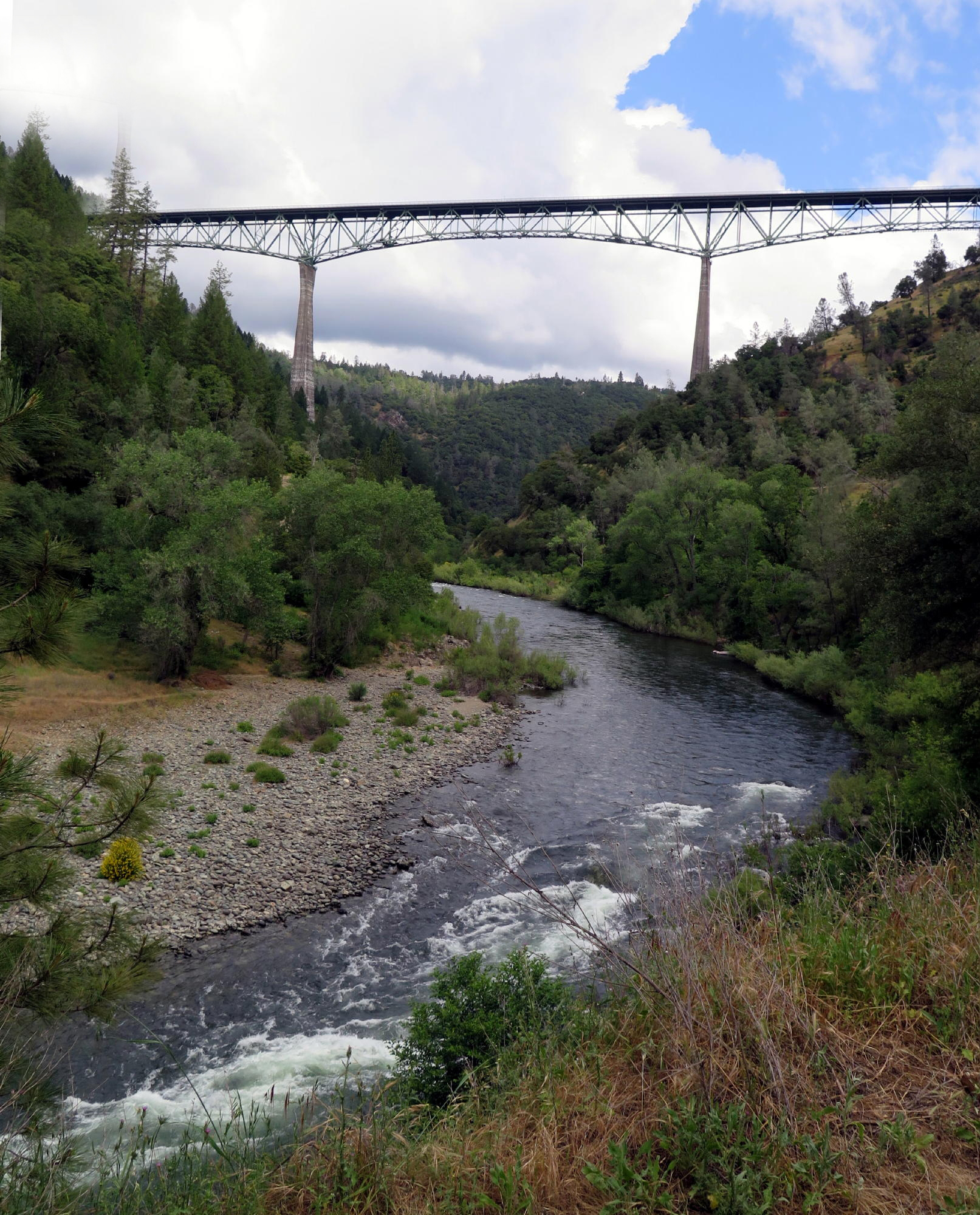
The Foresthill Bridge at 700 ft. high is the 4th highest bridge in the US, and was built in 1973. If it seems out of place, it is; the roadway atop the structure barely has any traffic. It was built with the expectation that the Auburn Dam would be just downstream, but the Federal (BLM) project was never built, for many sound reasons.
The round trip walk was 4.5 miles with almost 700 ft. of gain. I was grateful for the long steady uphill grades, and it was overcast & breezy, a perfect (late spring) day to be out walking.
return to index