Eastern Sierra hikes - 2017
return to eastern sierra index
return to index
In September 2017, a group of 16 of us stayed at the Rock Creek Lodge or its nearby campground, at 9,375 ft.
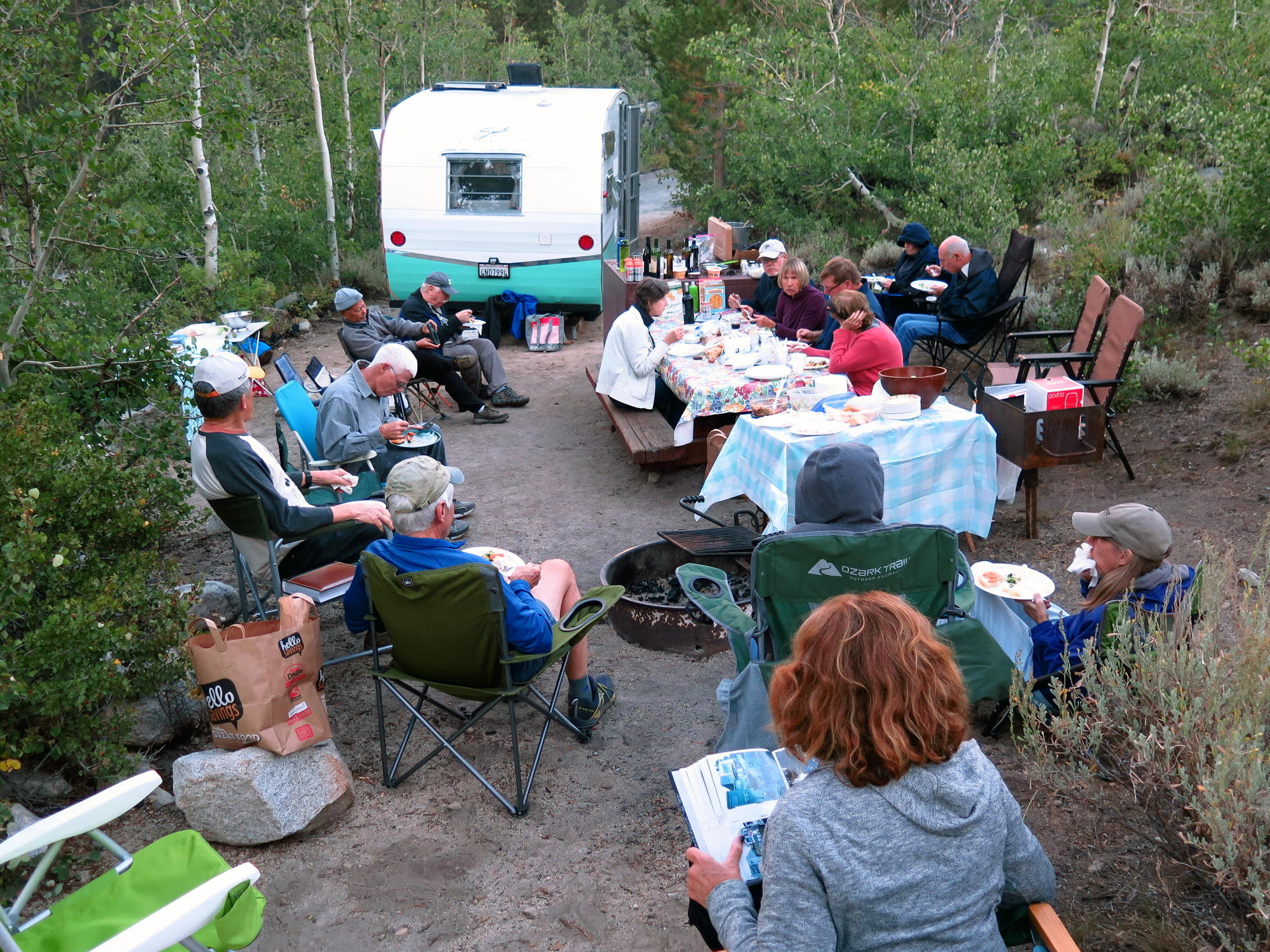
The group consisted of Rich, Linda, Dick F., Geno, Frank, Jean, Bonnie, Rick & Julie, Kathy and John, and myself plus 2 or 3 others whom I don't recognize from the photo at the arrival night dinner at Howdy Hoover's 'heritage' 5th wheel trailer site.
|
|
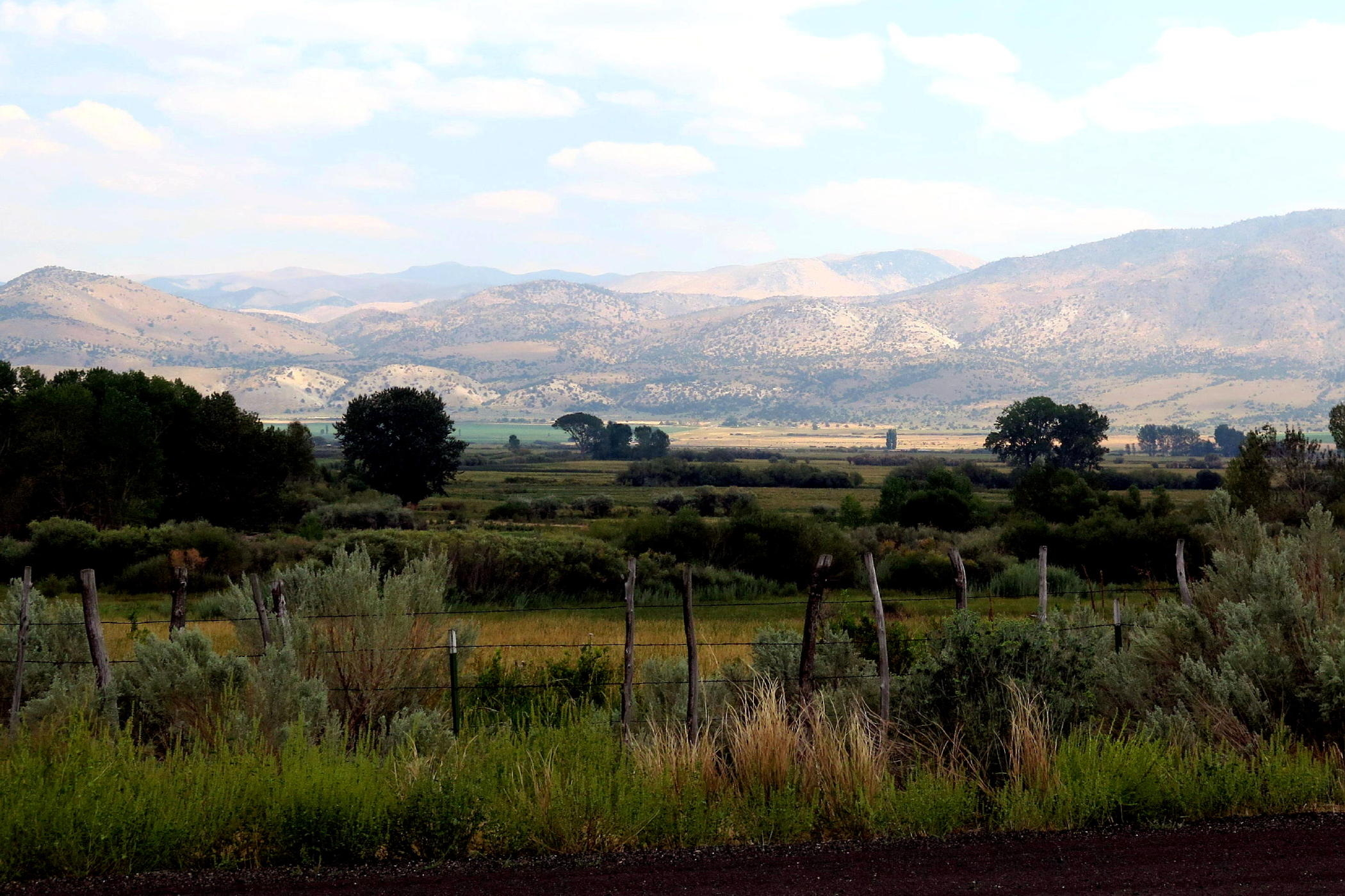
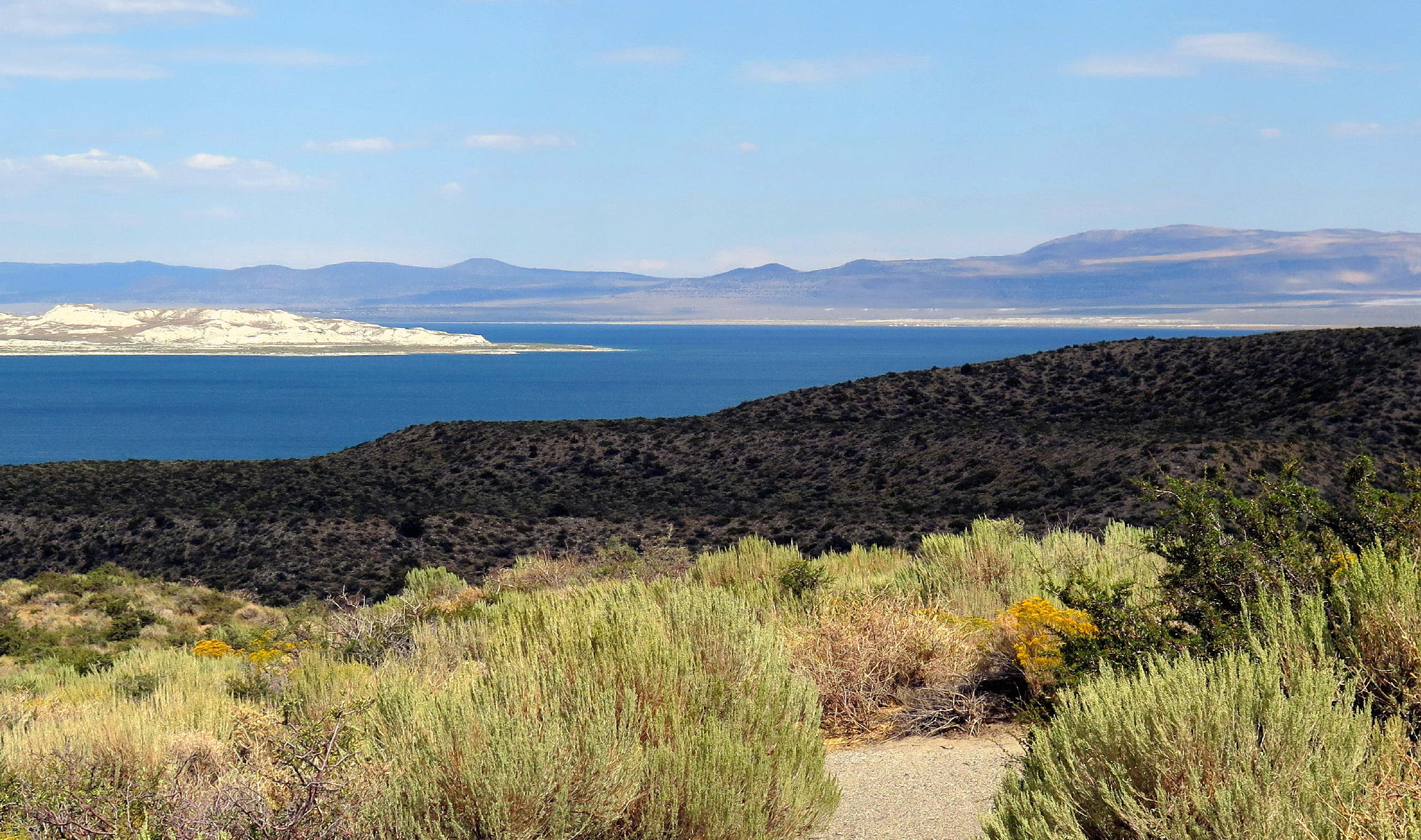
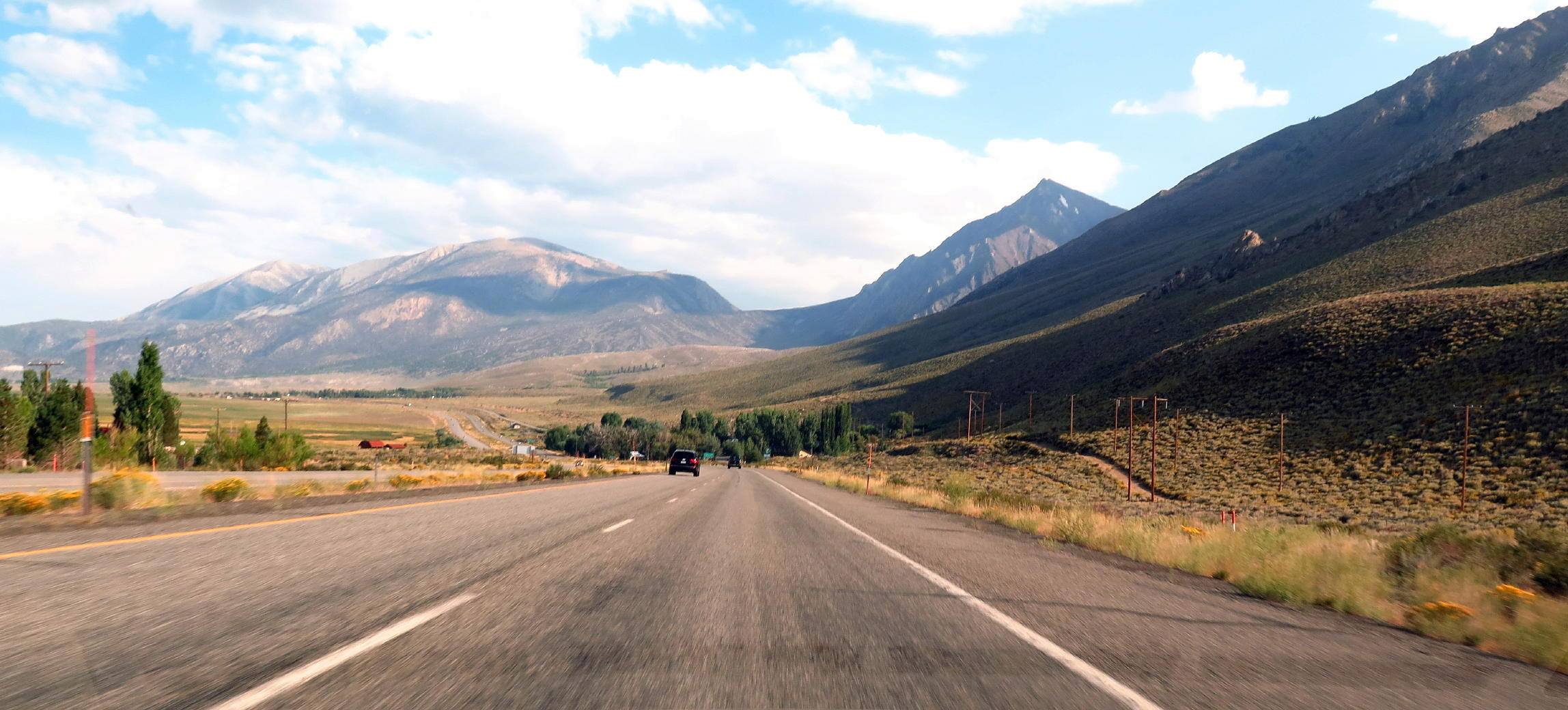
hwy 395 scenery, see note |
|
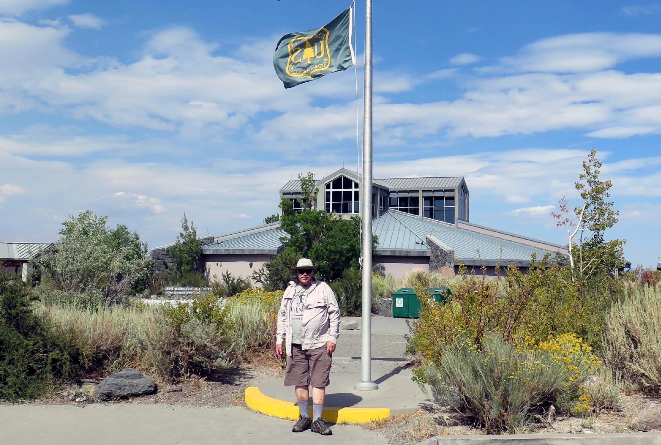
Frank at Mono Lake visitor center |
|
|
|
|
a familiar view |
|
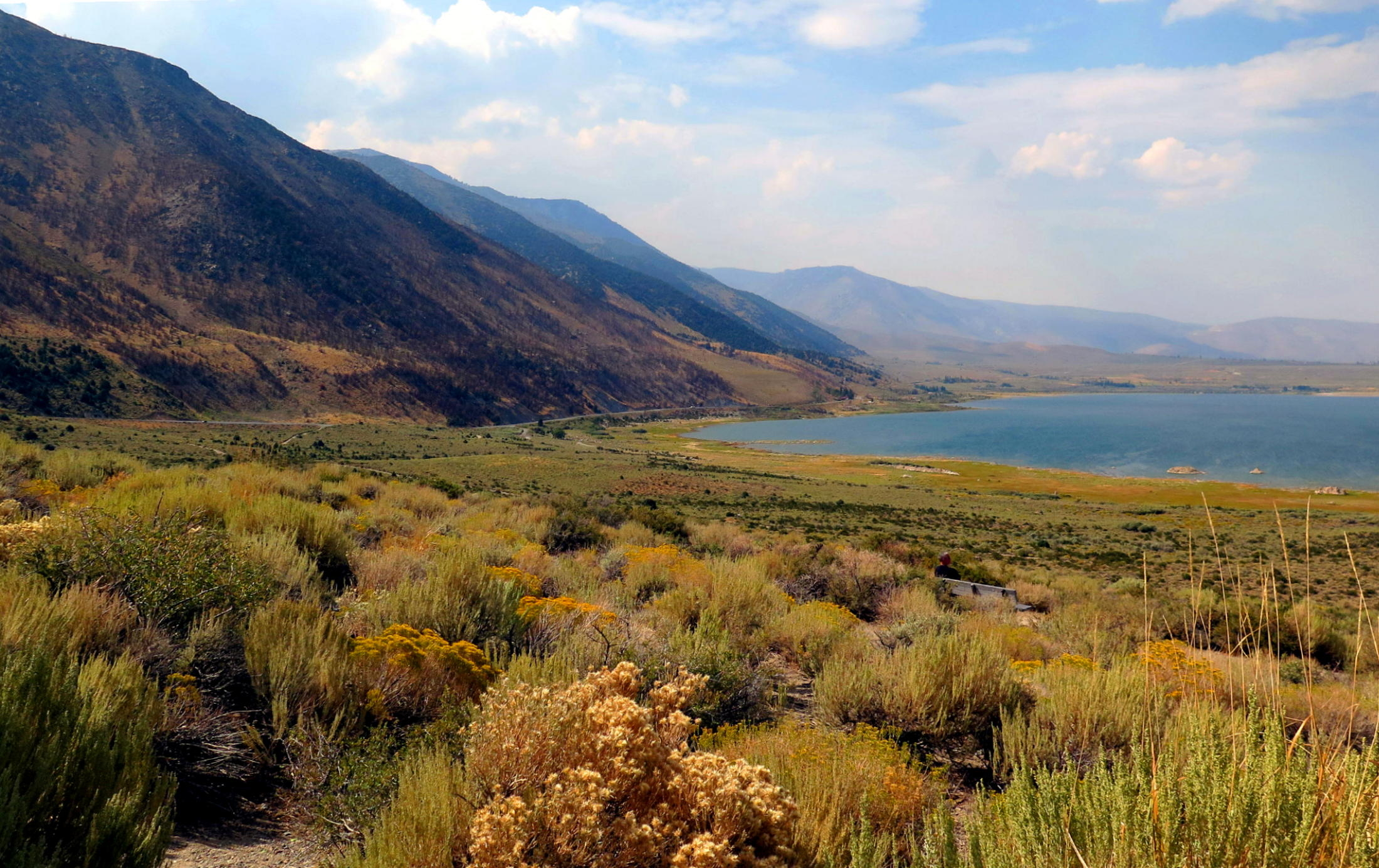
395 further south | ||
|
|
dinner at Howdy's trailer site |
note - this image shows the small but attractive Coleville Valley farming area, some miles south of Lake Topaz, on the way to Walker where we (as usual) ran into other hikers from the group, at the little roadside oasis known as Walker Burger.
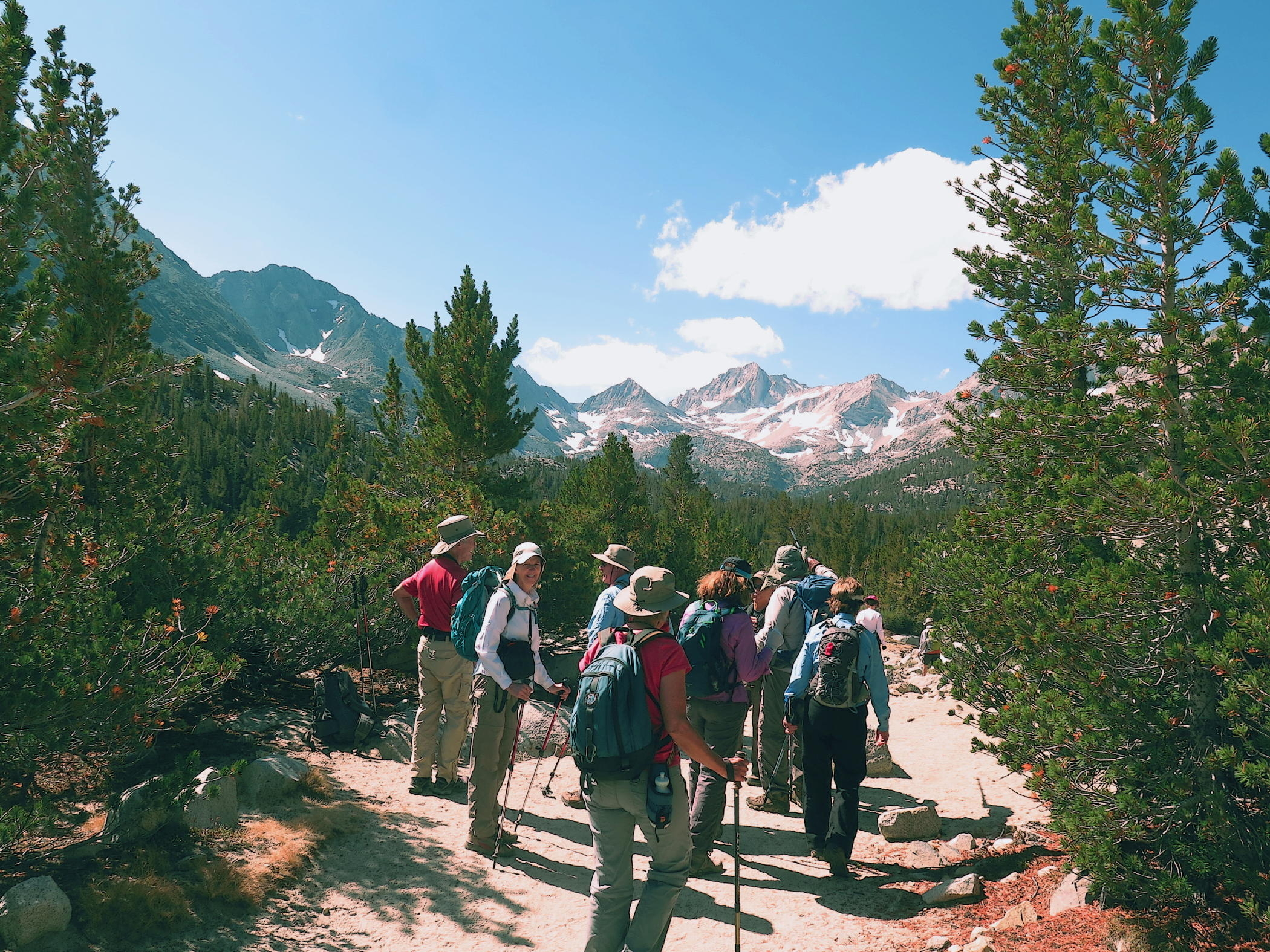
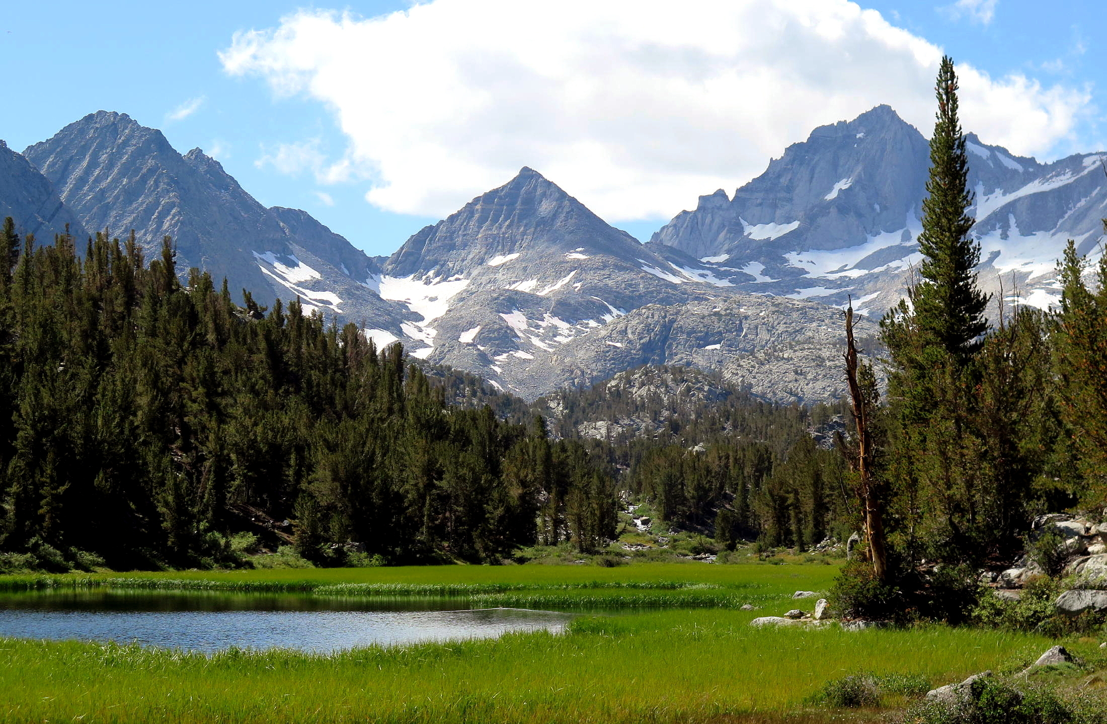
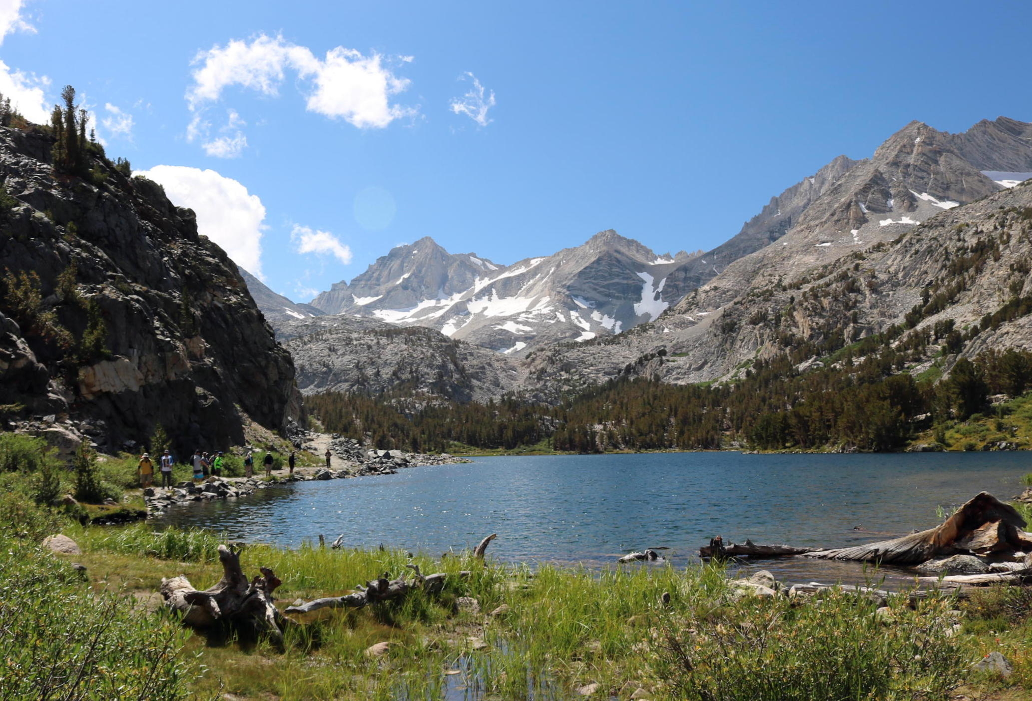
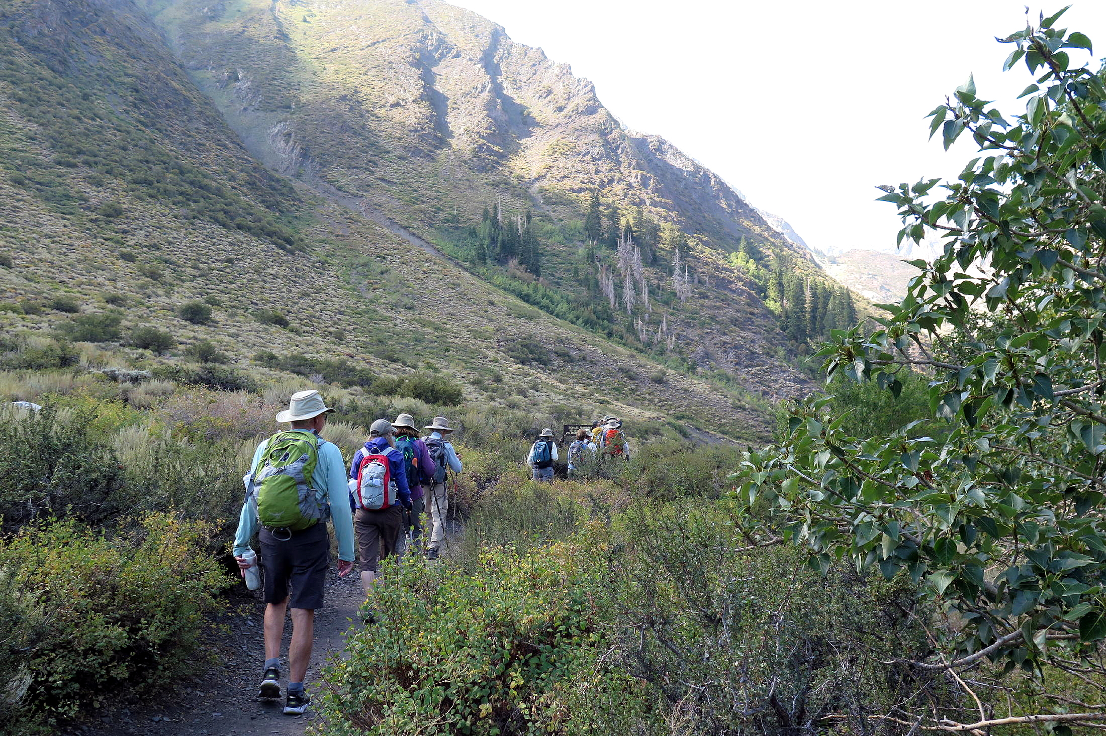
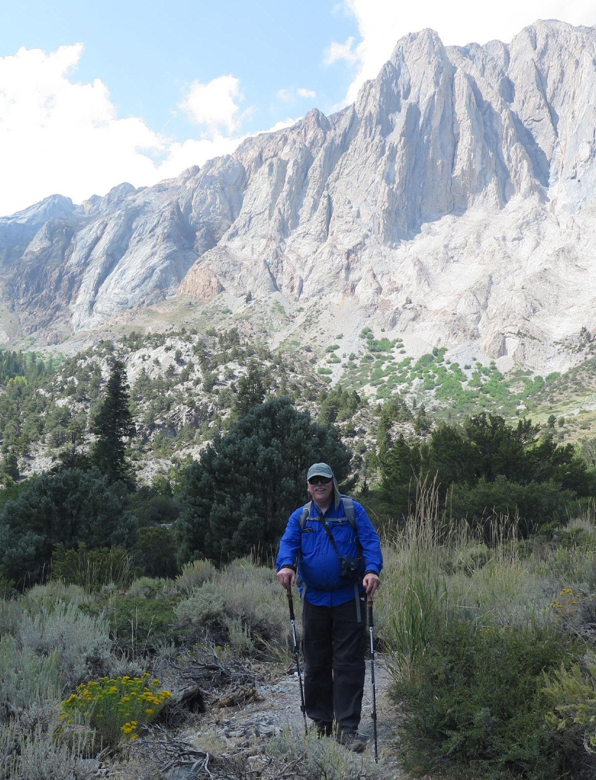
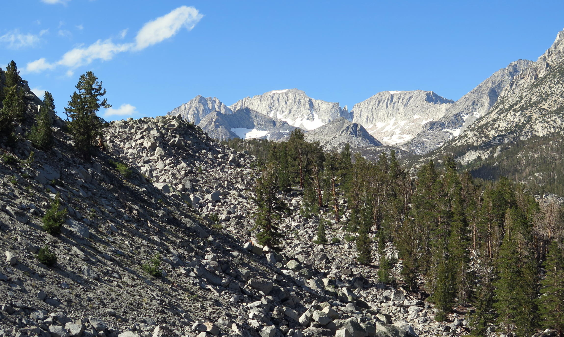
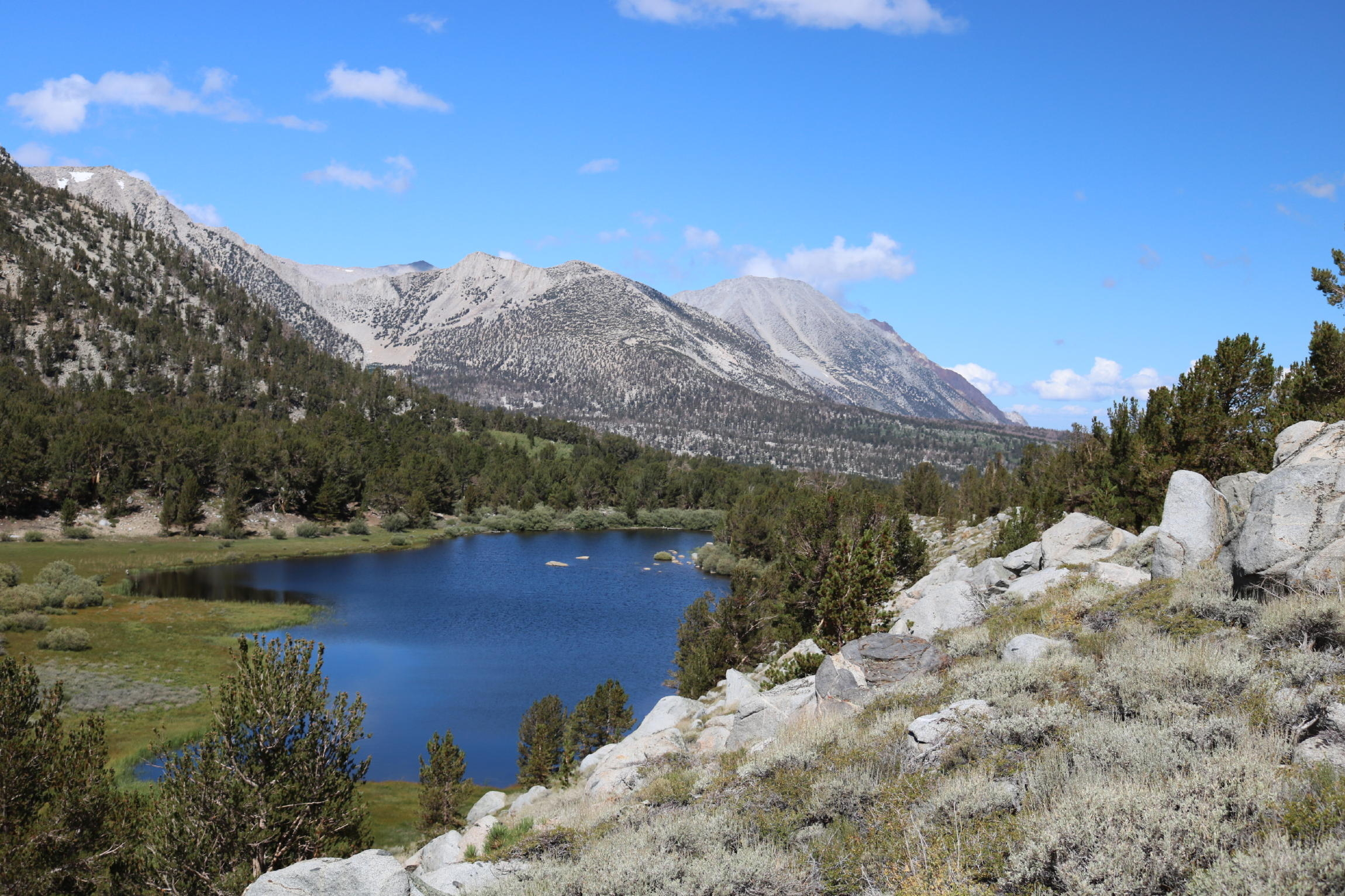
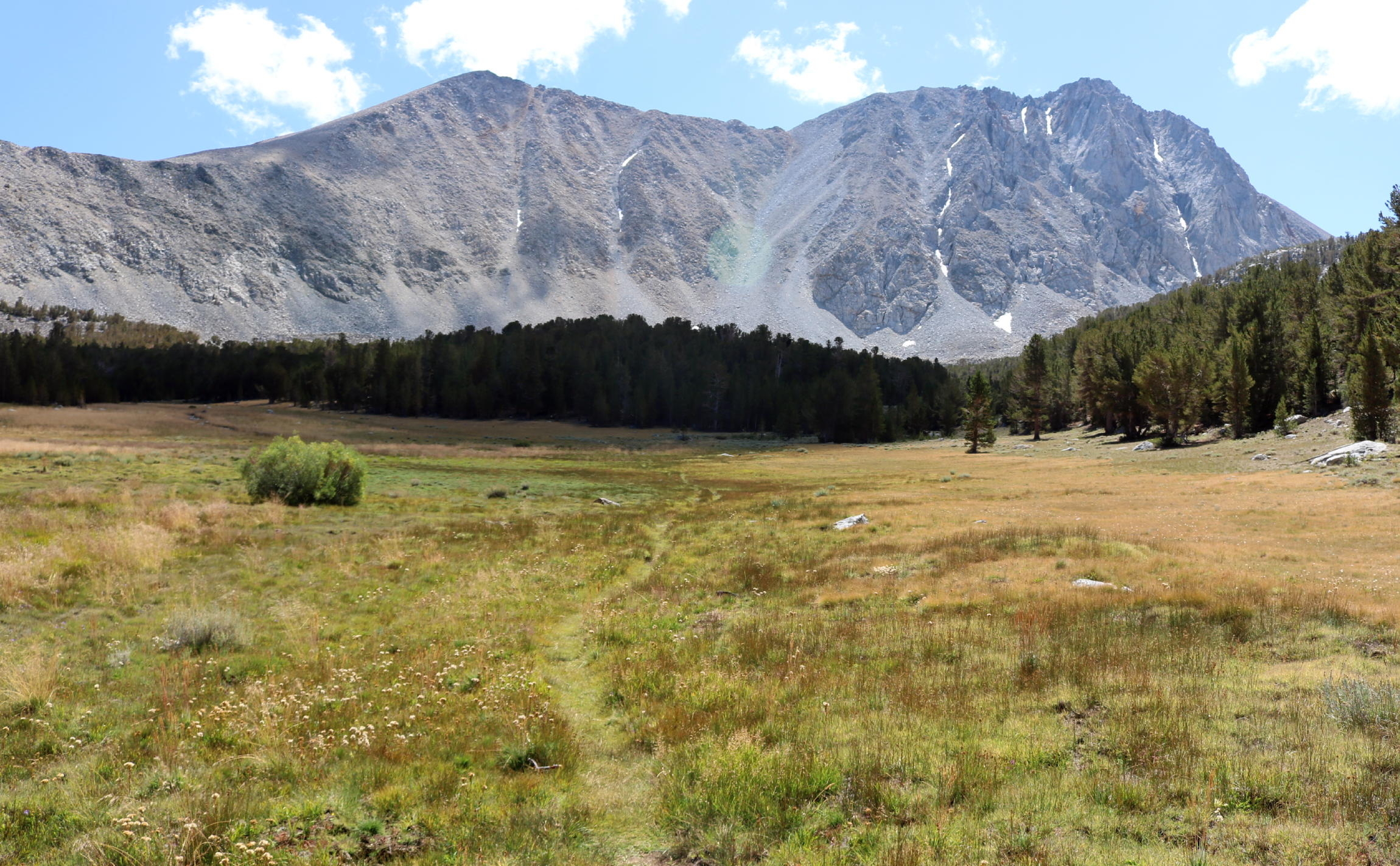
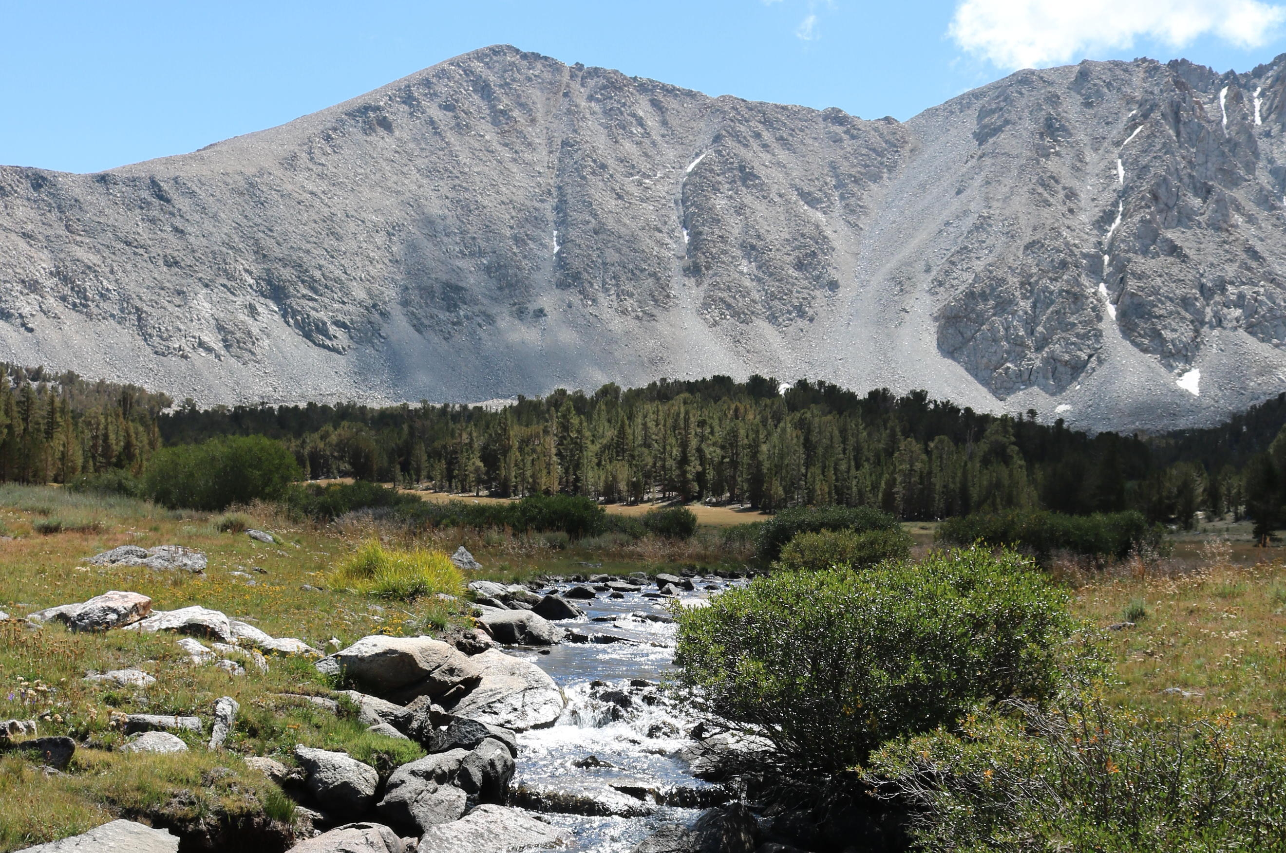
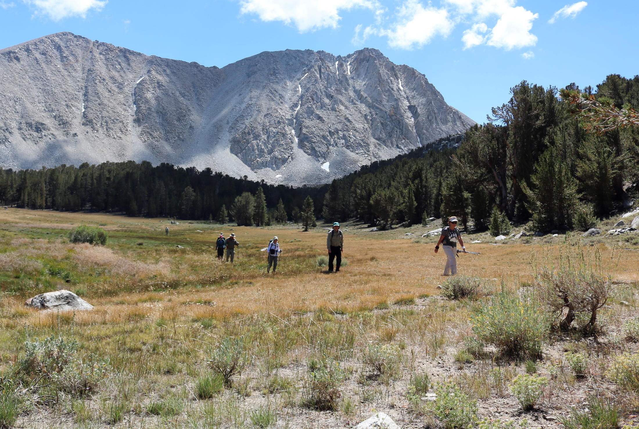
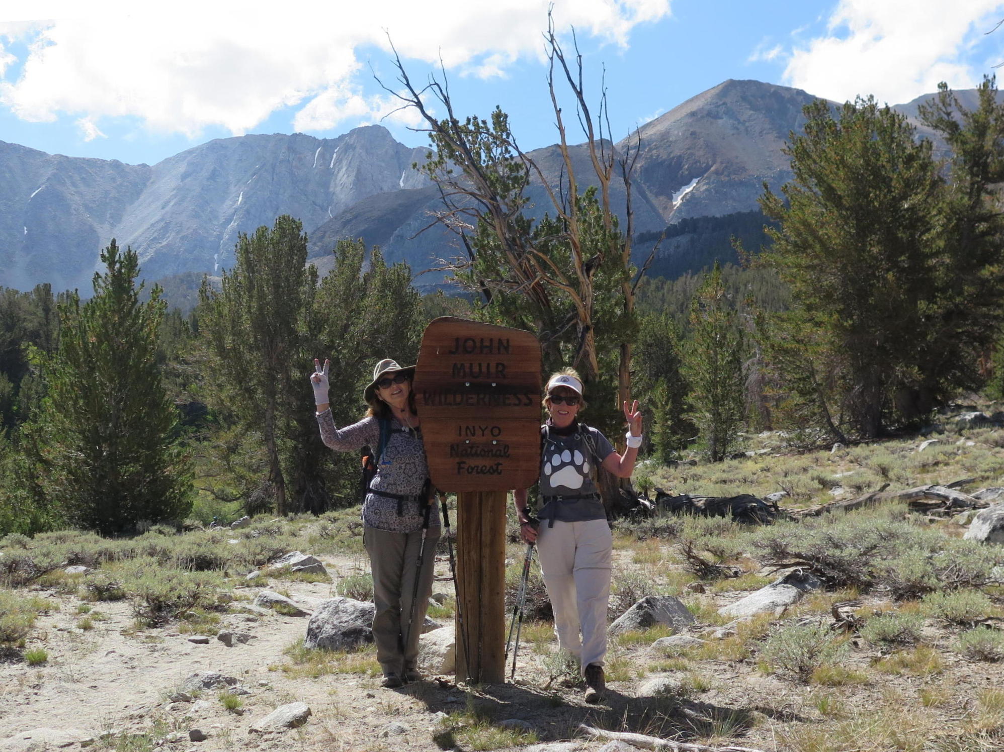
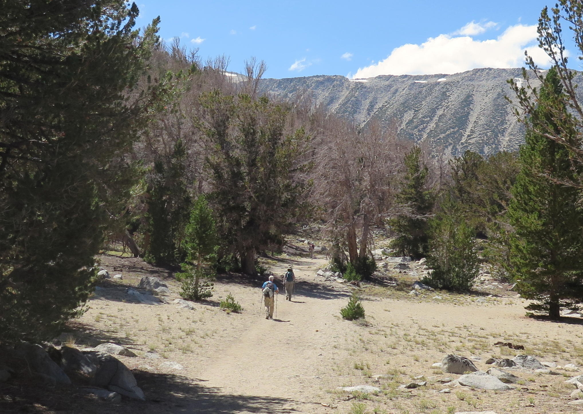
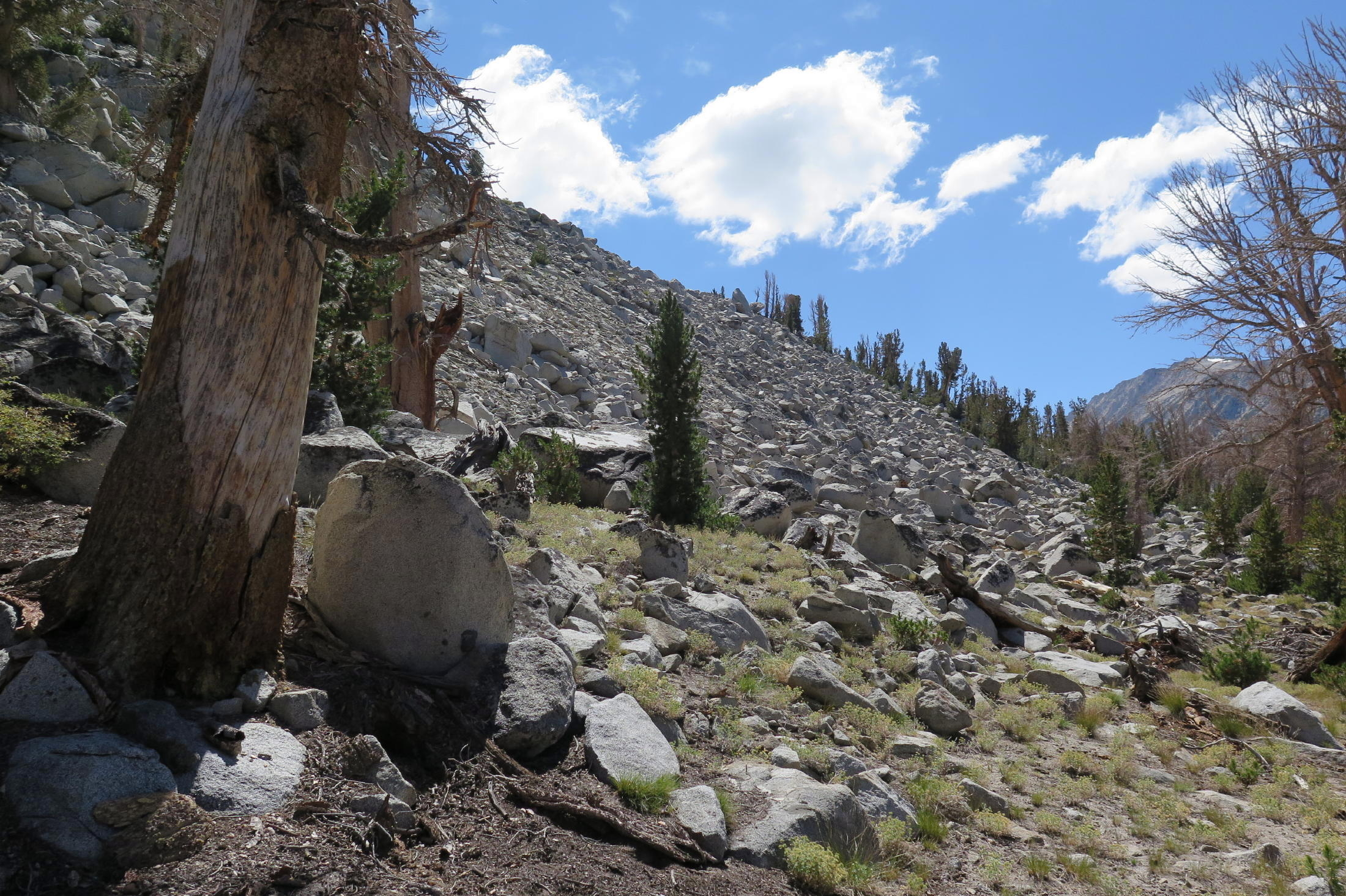
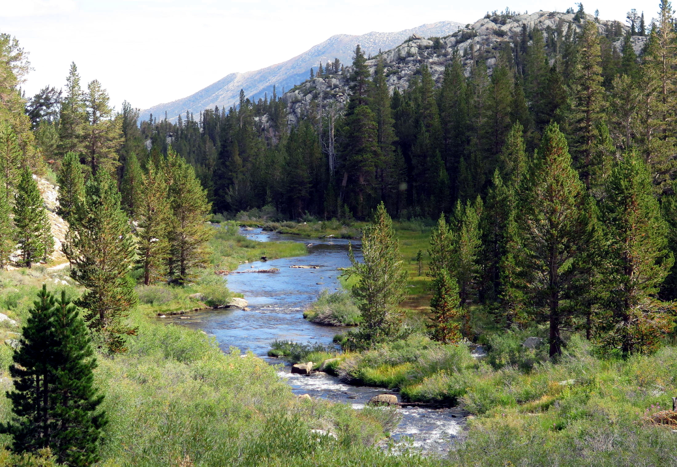
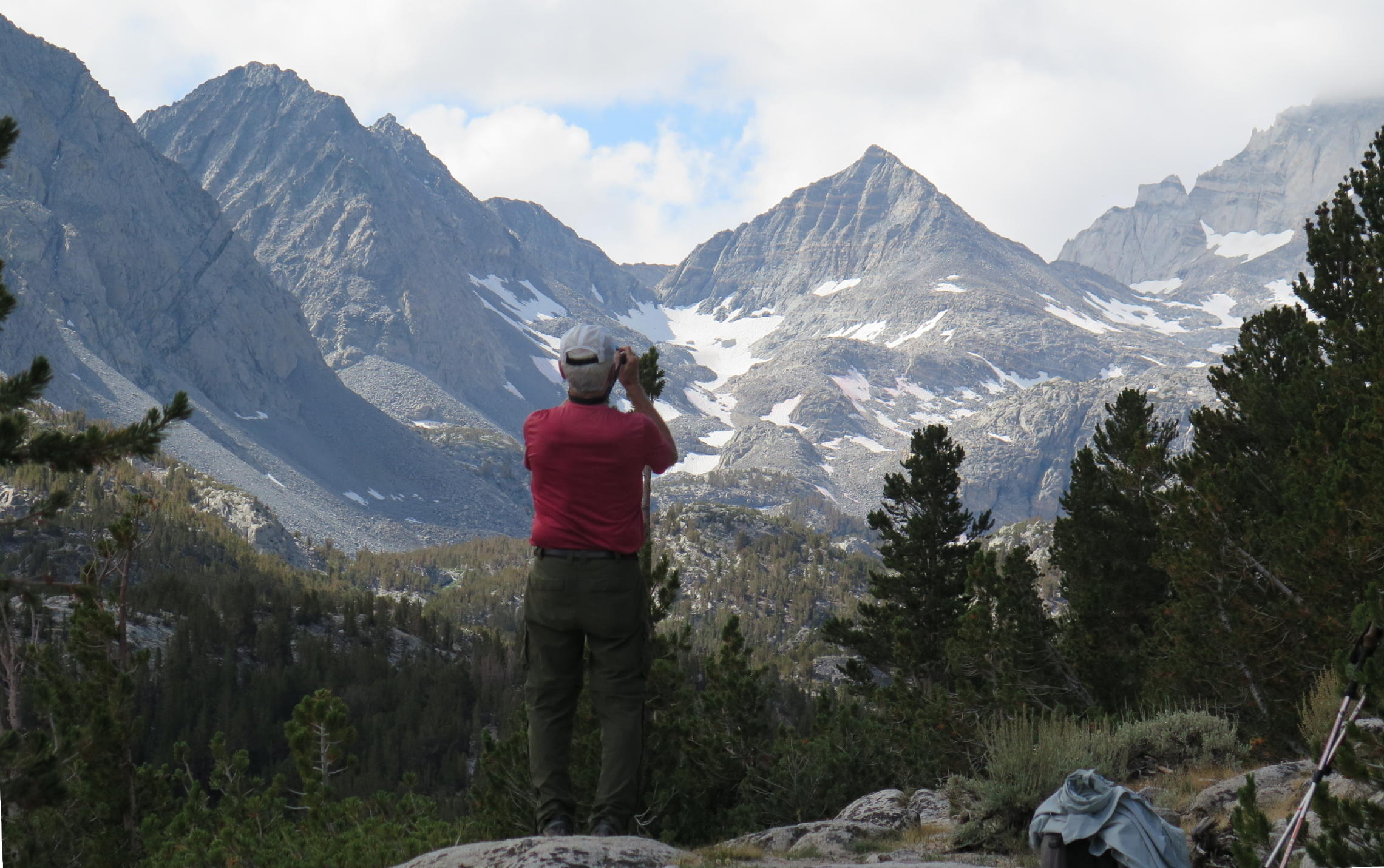
The group's first walk to Rock Creek Lakes started uphill from the cabins. This was a familiar acclimation hike for us. The Mosquito Lake trailhead is at 10,000 ft. and within 90 minutes of uphill walking you behold the entire Lake basin, and above is an impressive display of Sierra Nevada 13'ers.
note - on a pc or laptop you can zoom in & and out, but not on a smartphone.
 |
trailhead |
 |
 |
a great walk | |
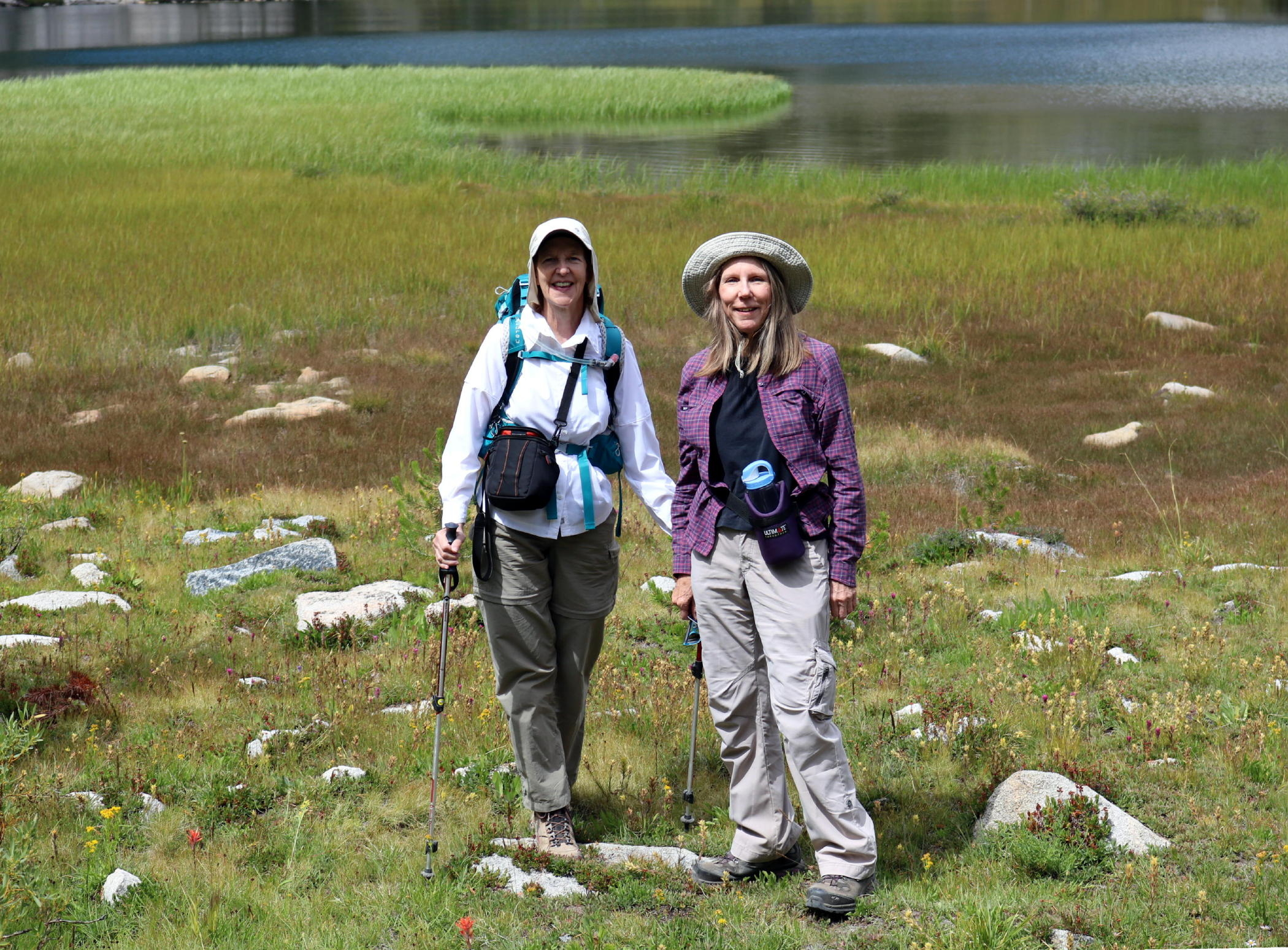 |
Bonnie & Jean |
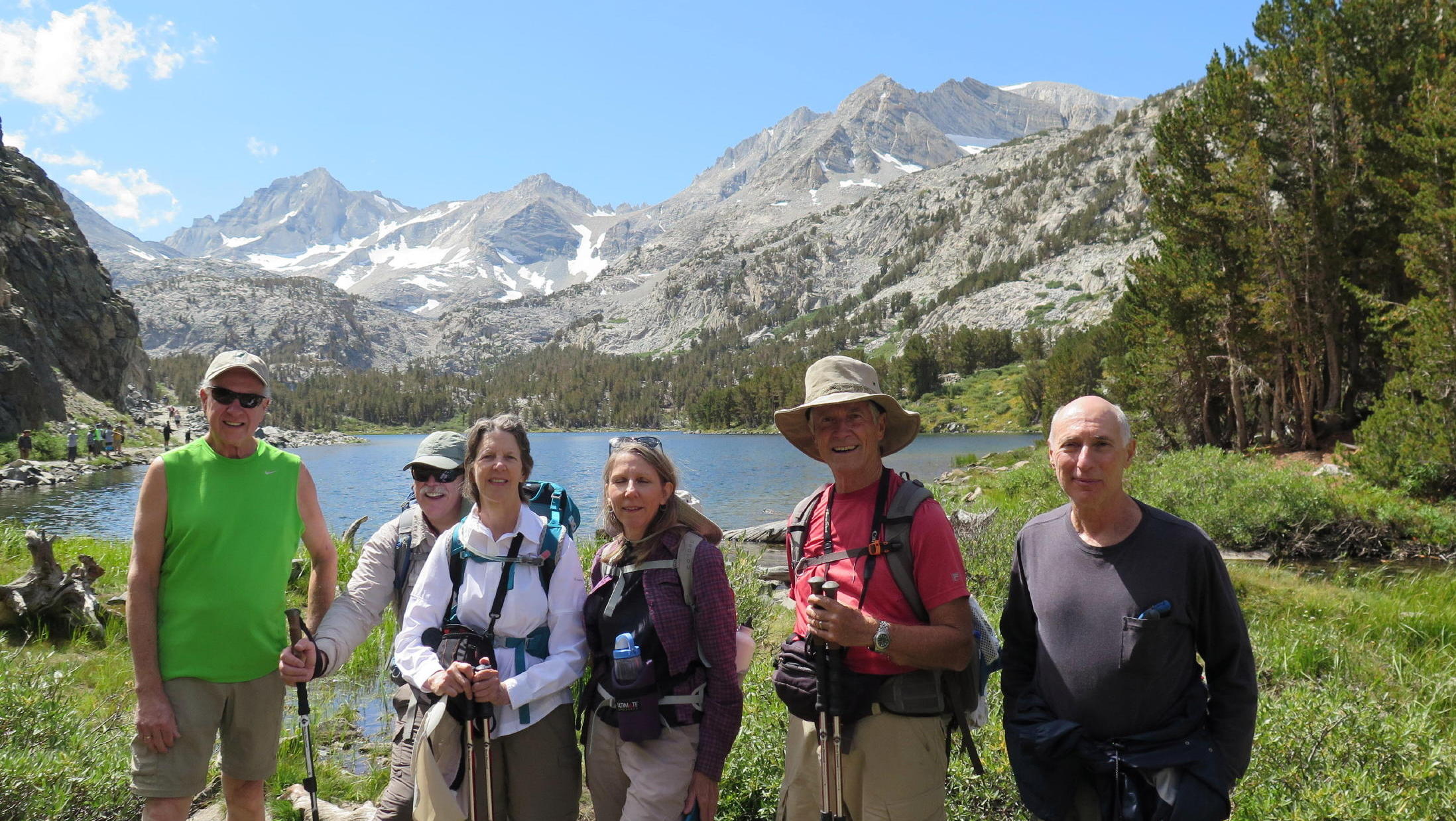 |
me, Bonnie, Jean, Rich & Rick at Long Lake | ||
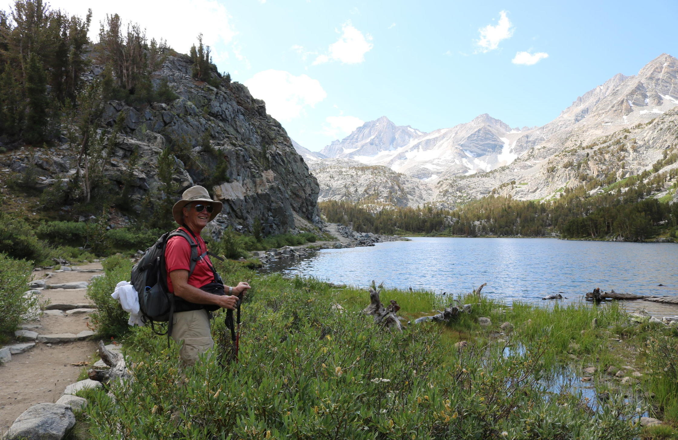 |
Rich |
 |
the hikers are to the left |
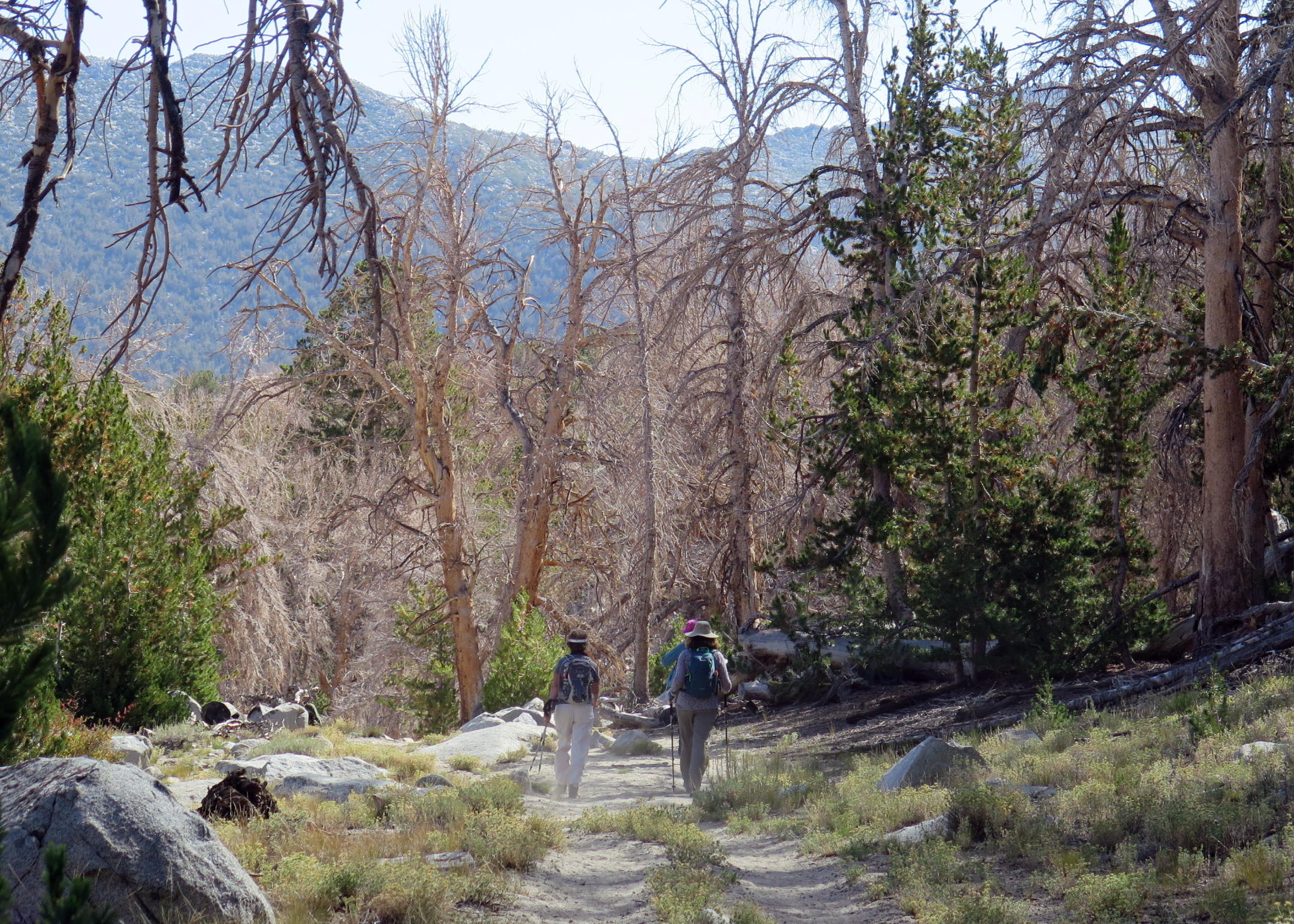
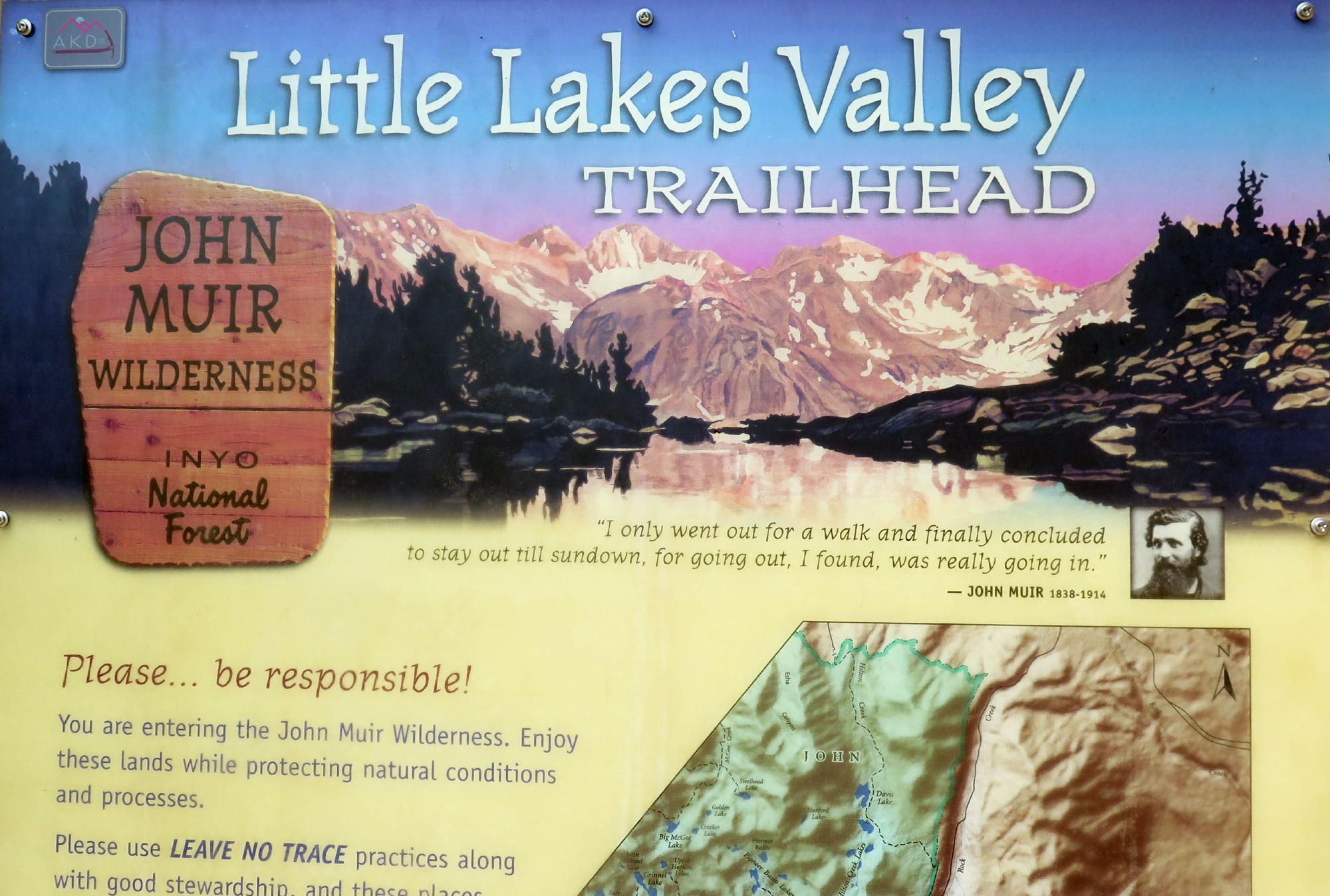
The 'Little Lakes Valley to Gem Lakes' trail (per AllTrails) is 7.2 miles rt with 1,033 ft of gain.
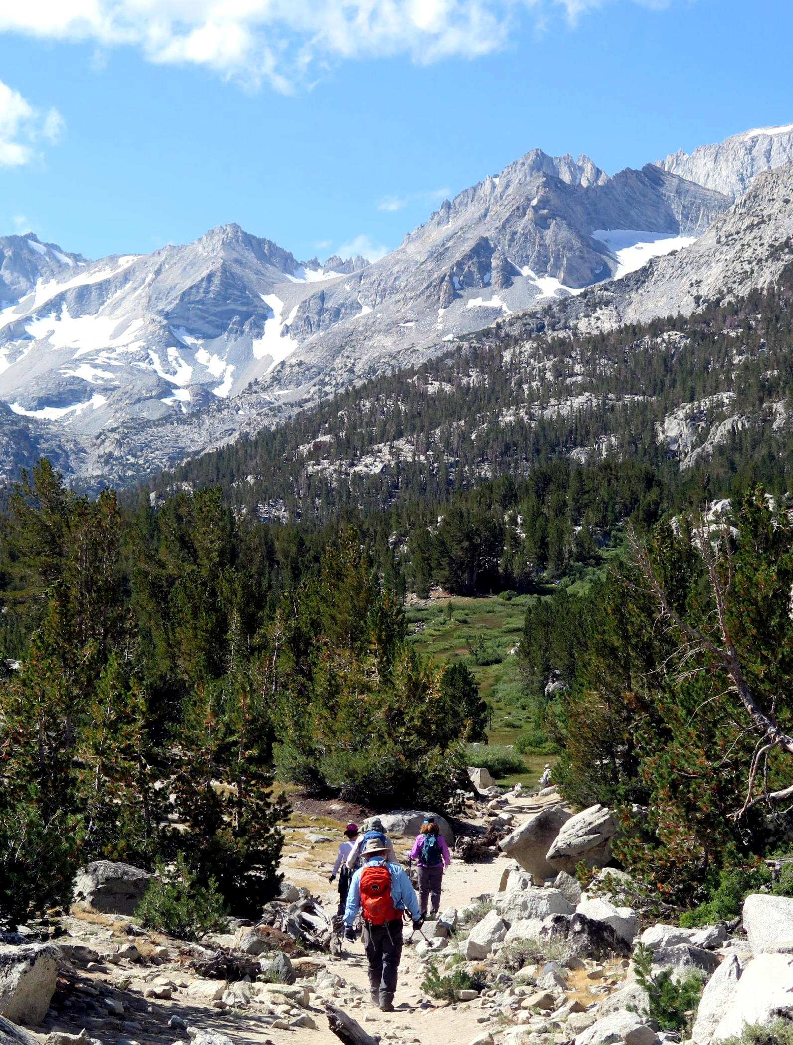
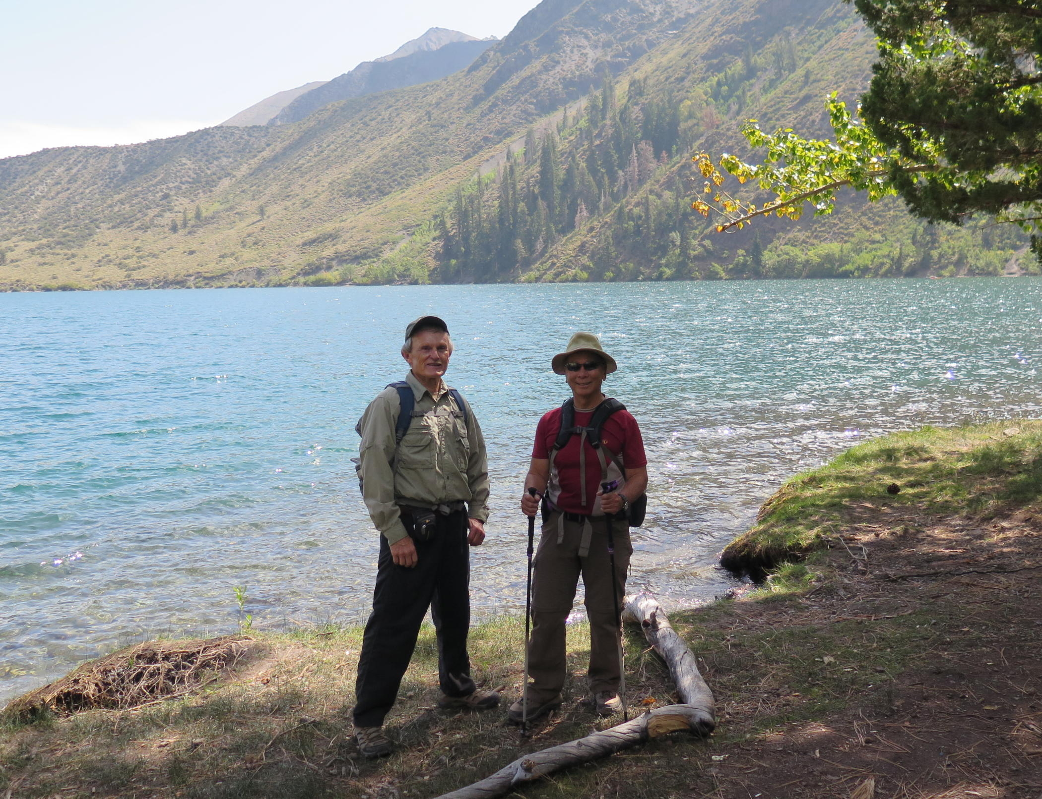
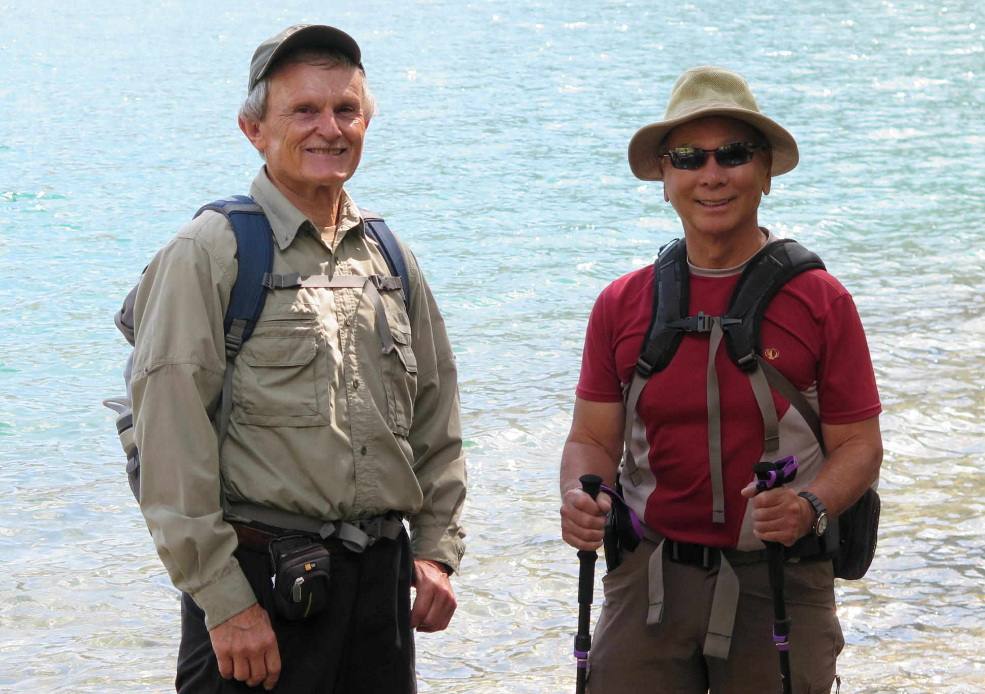
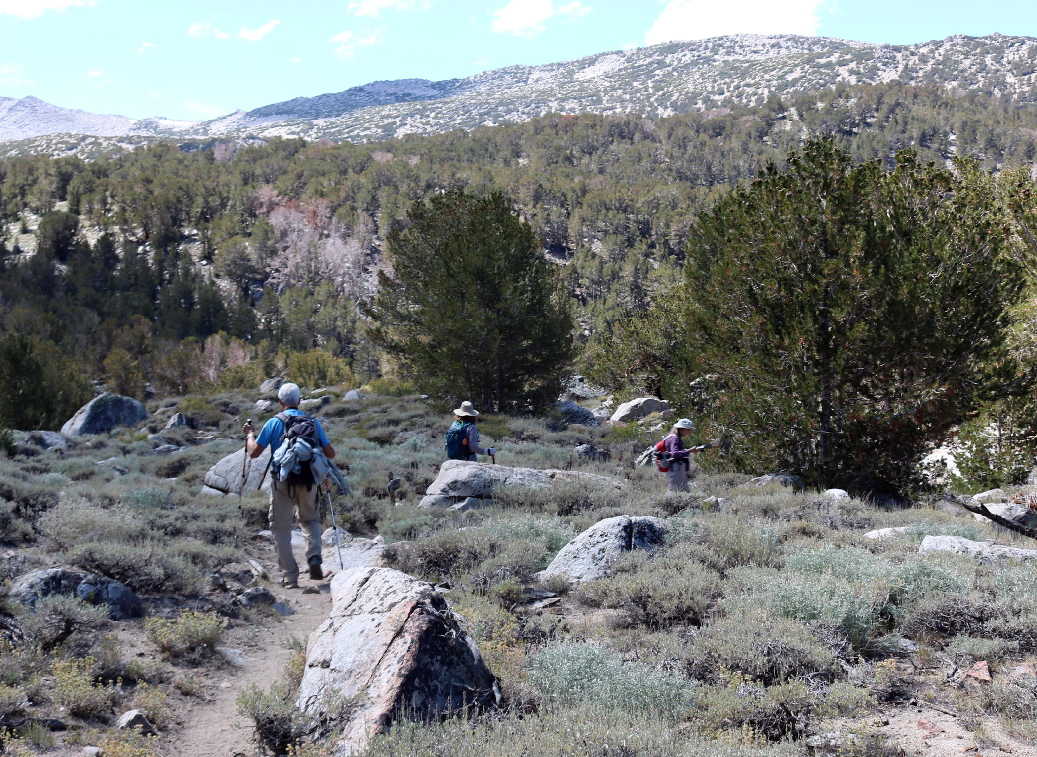
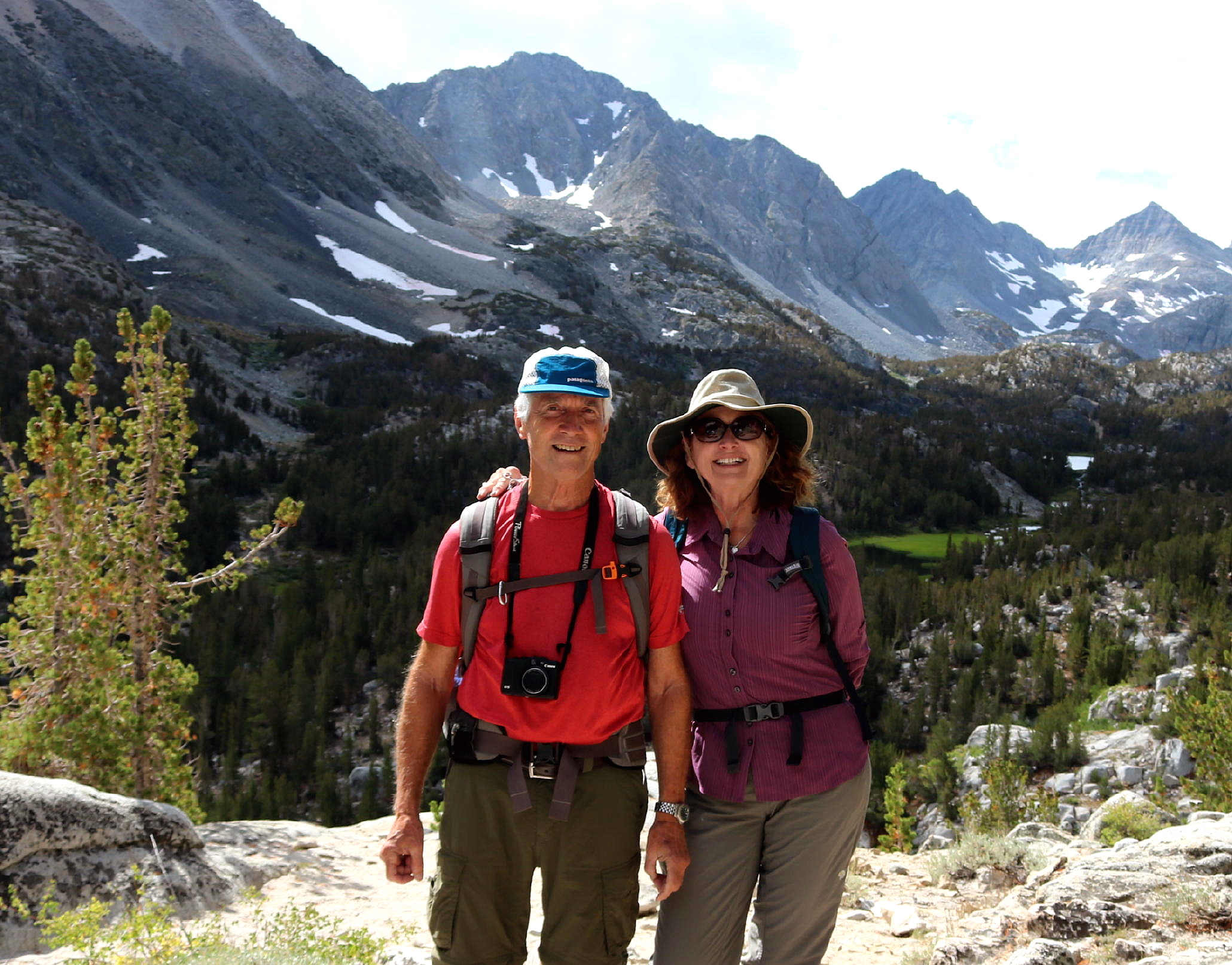
The second hike was at Convict Lake, about a 40 mile drive north from the Cabins. Our walk took us around the Lake to some other trails. The only people we saw were fishermen.
I remember the walk along the lake as challenging, with steep steps up and then gradual falls to lakeside. Tripping hazards everywhere may be why I have no photos. In the first hiking photo below we're on the far side of the lake.
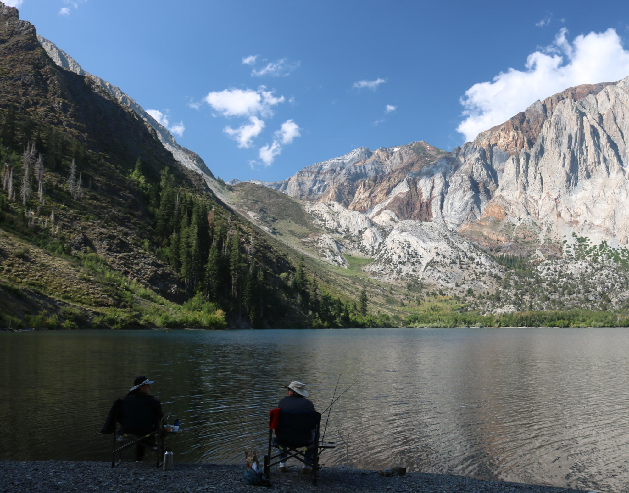 |
fishing |
 |
another look |
 |
on the far side |
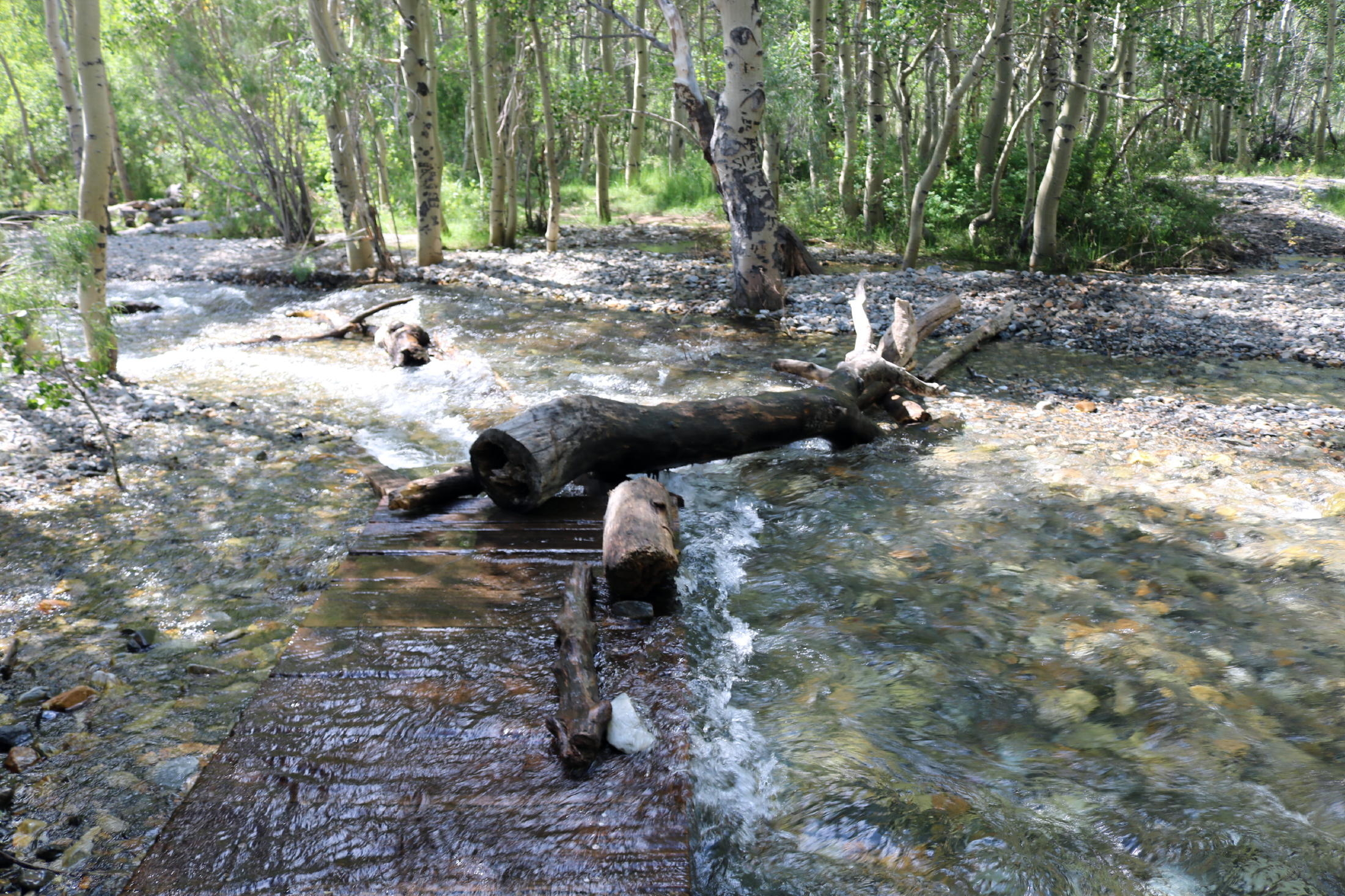 |
creek crossing |
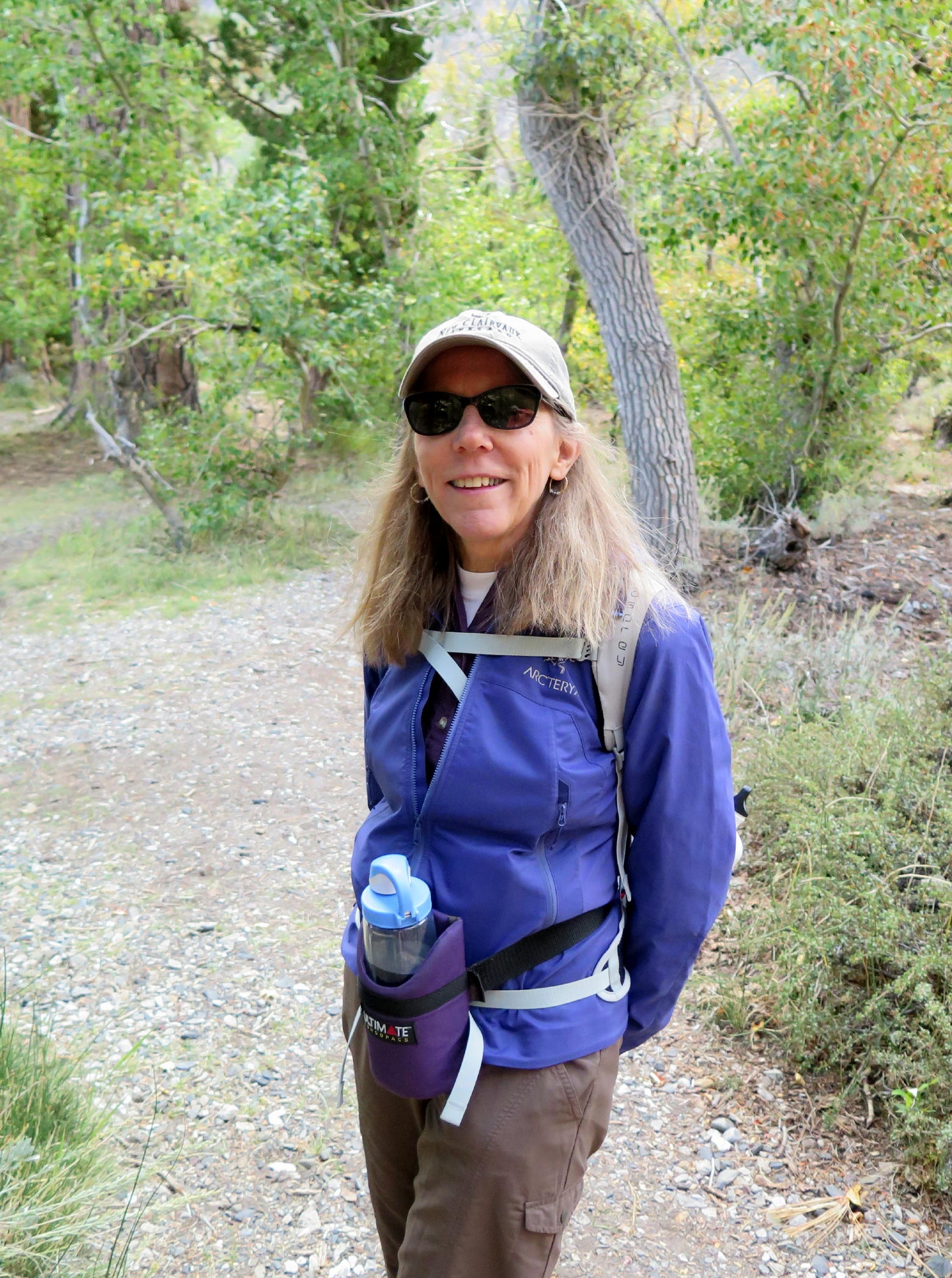 |
Jean |
 |
|
 |
 |
Rich |
 |
Frank | |
 |
see note |
 |
ditto | ||
 |
Howdy & Geno |
 |
long time hiker friends |
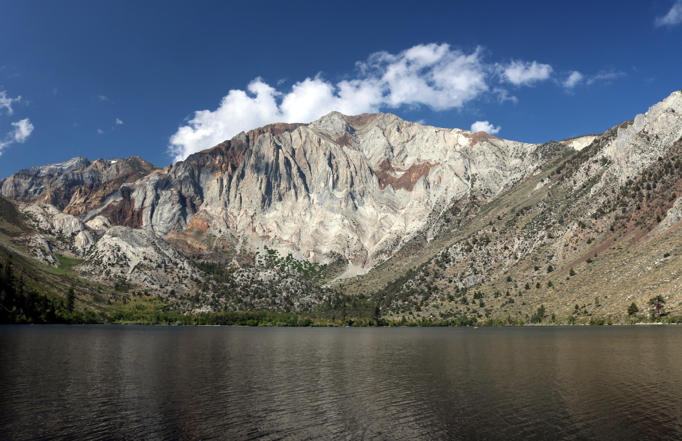
note - Mono Jim Peak (10,670) and Mt Morrison (12,241 ft.).
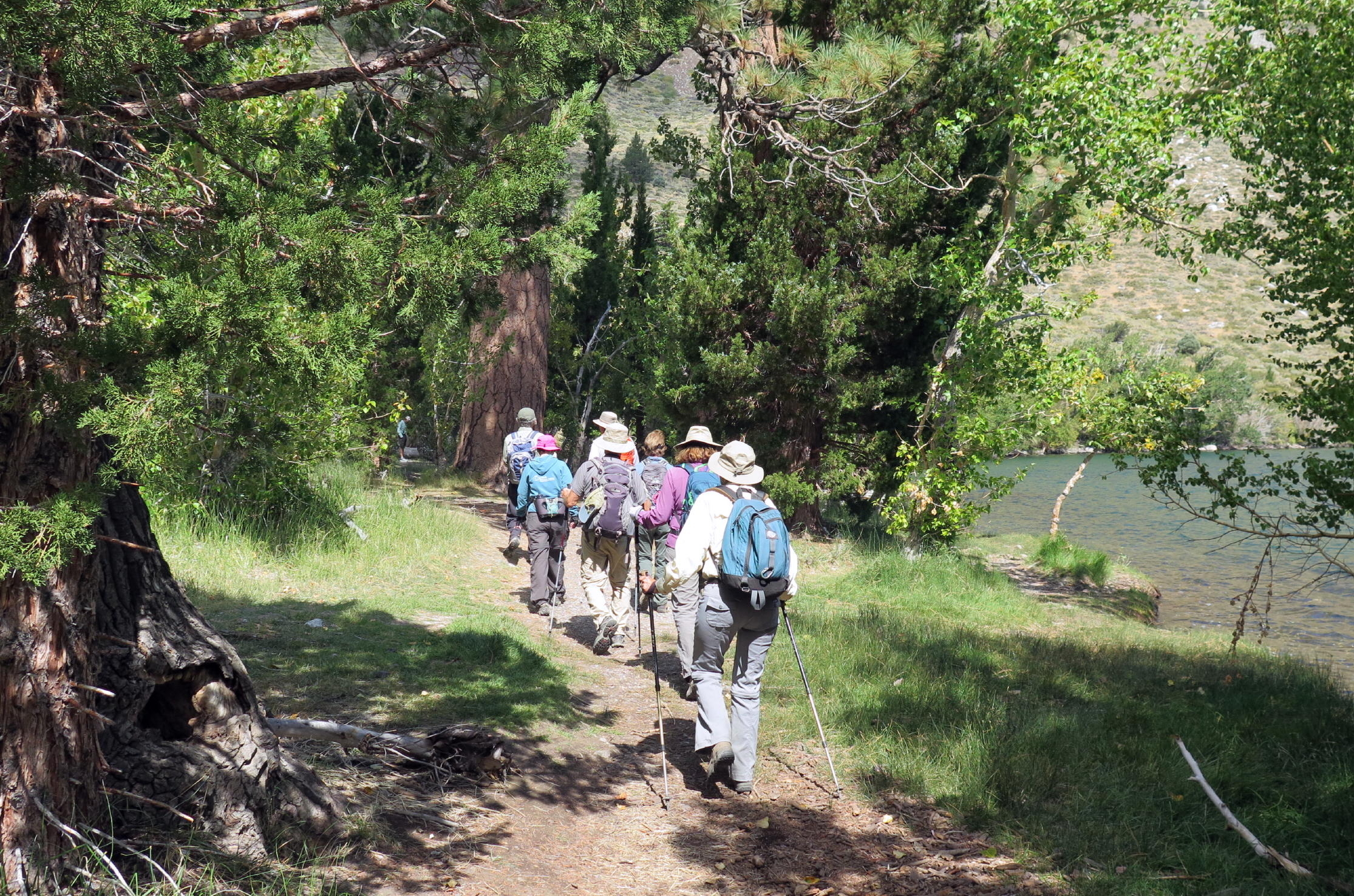
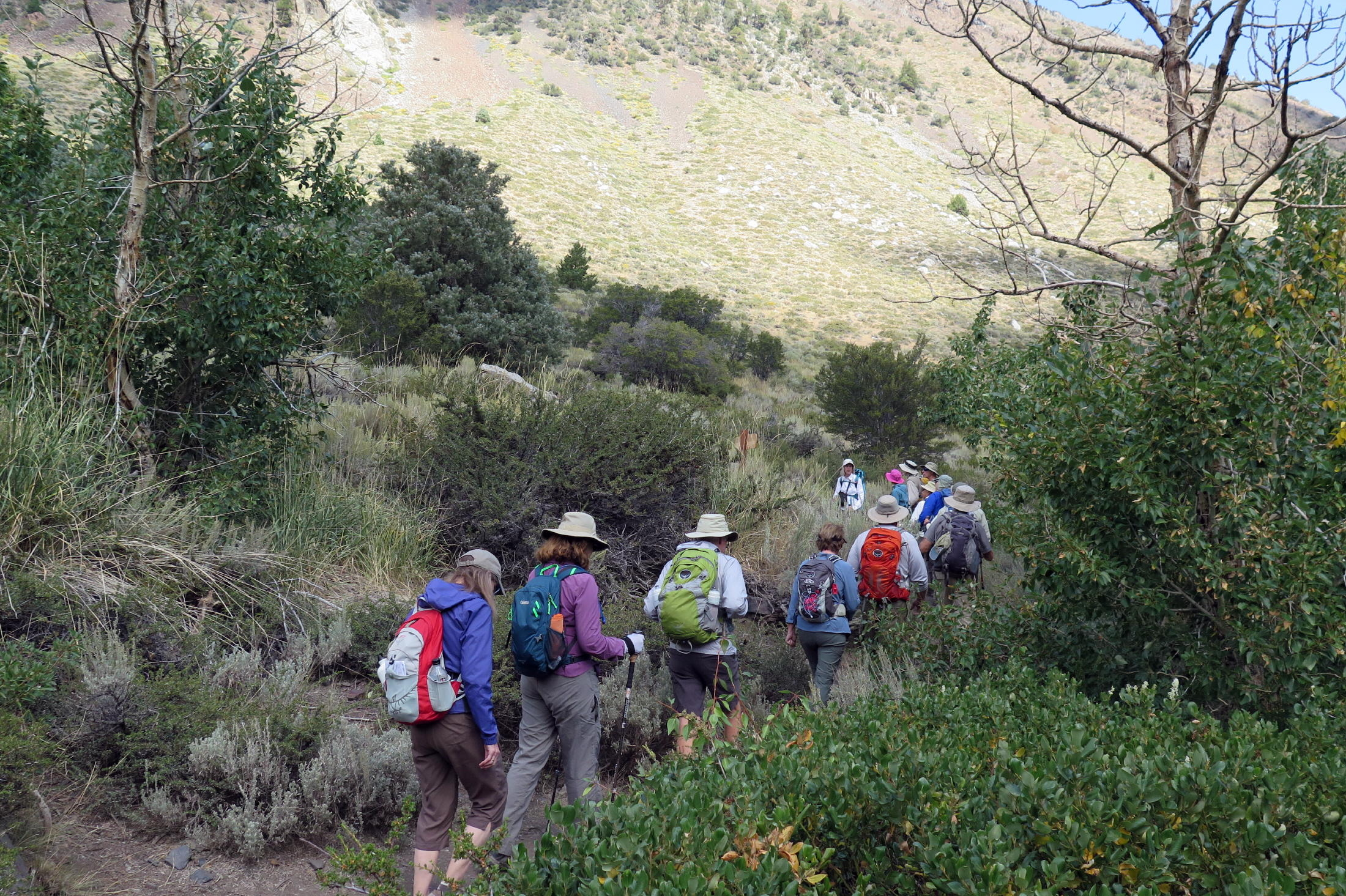
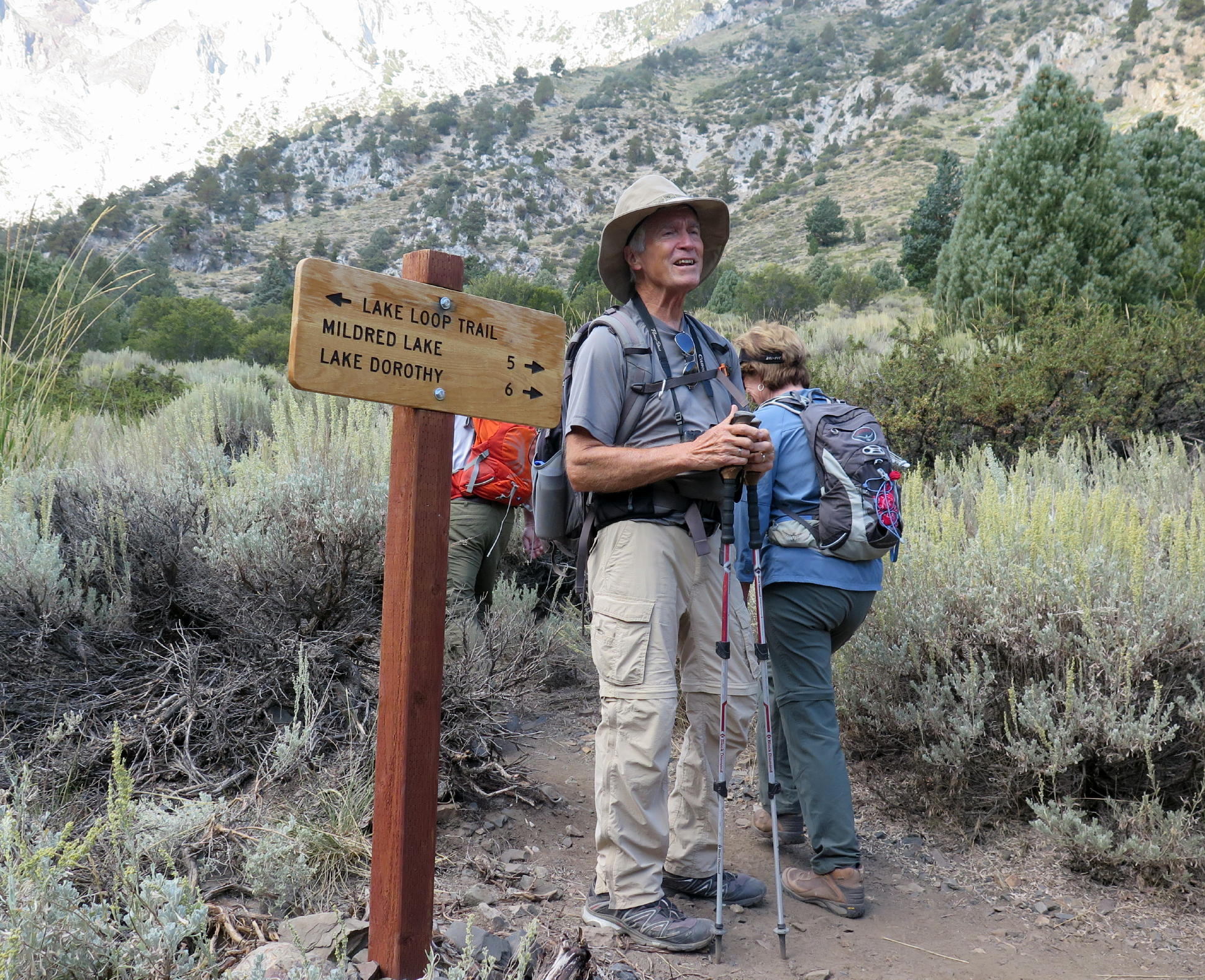
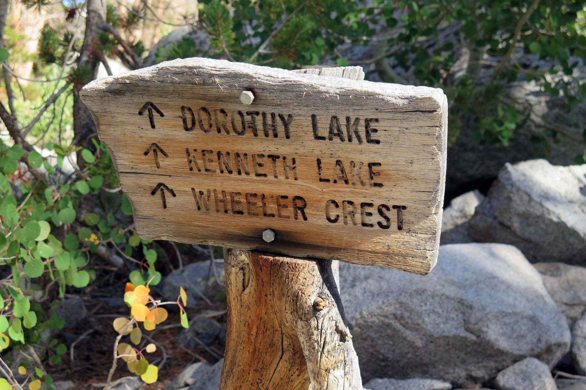
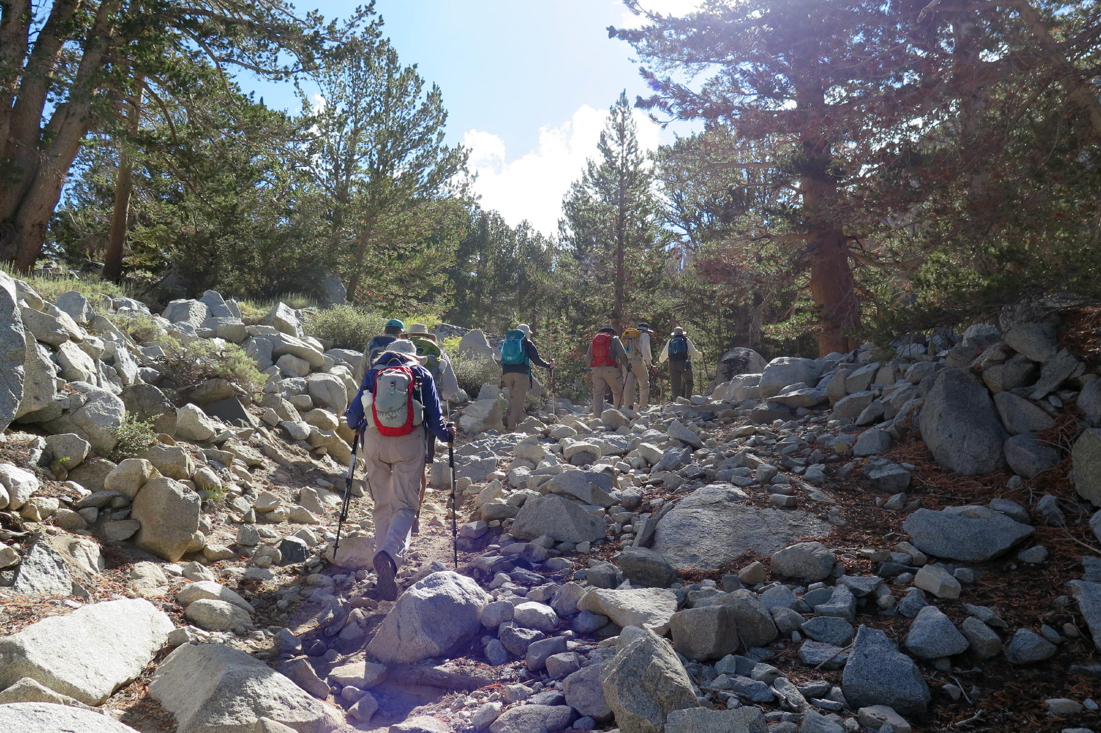
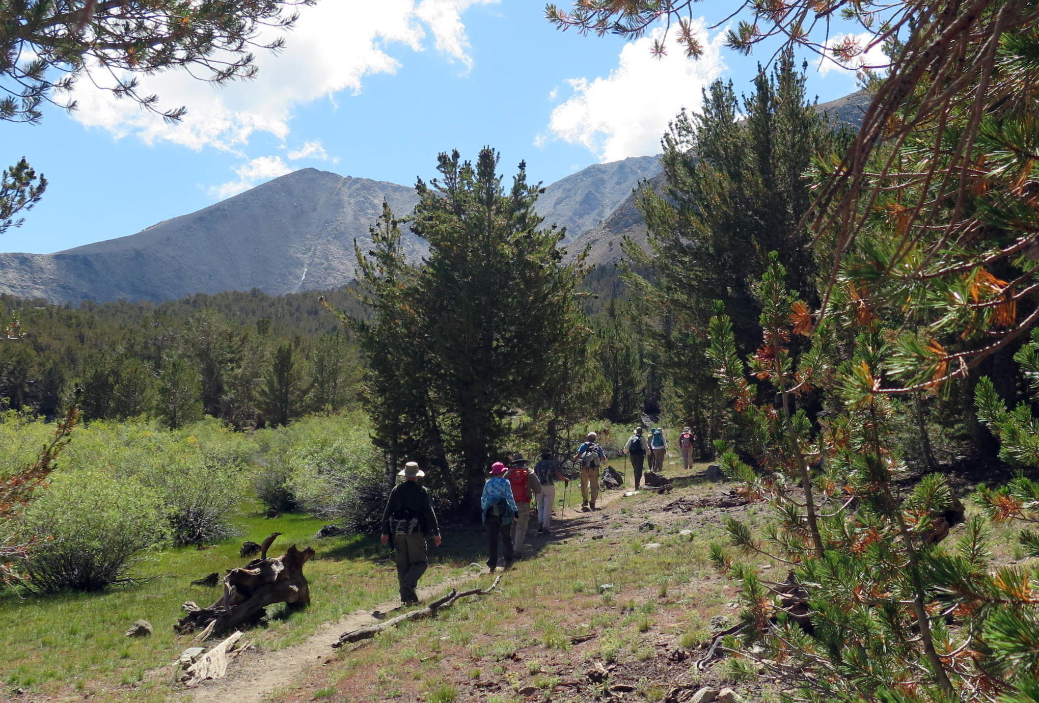
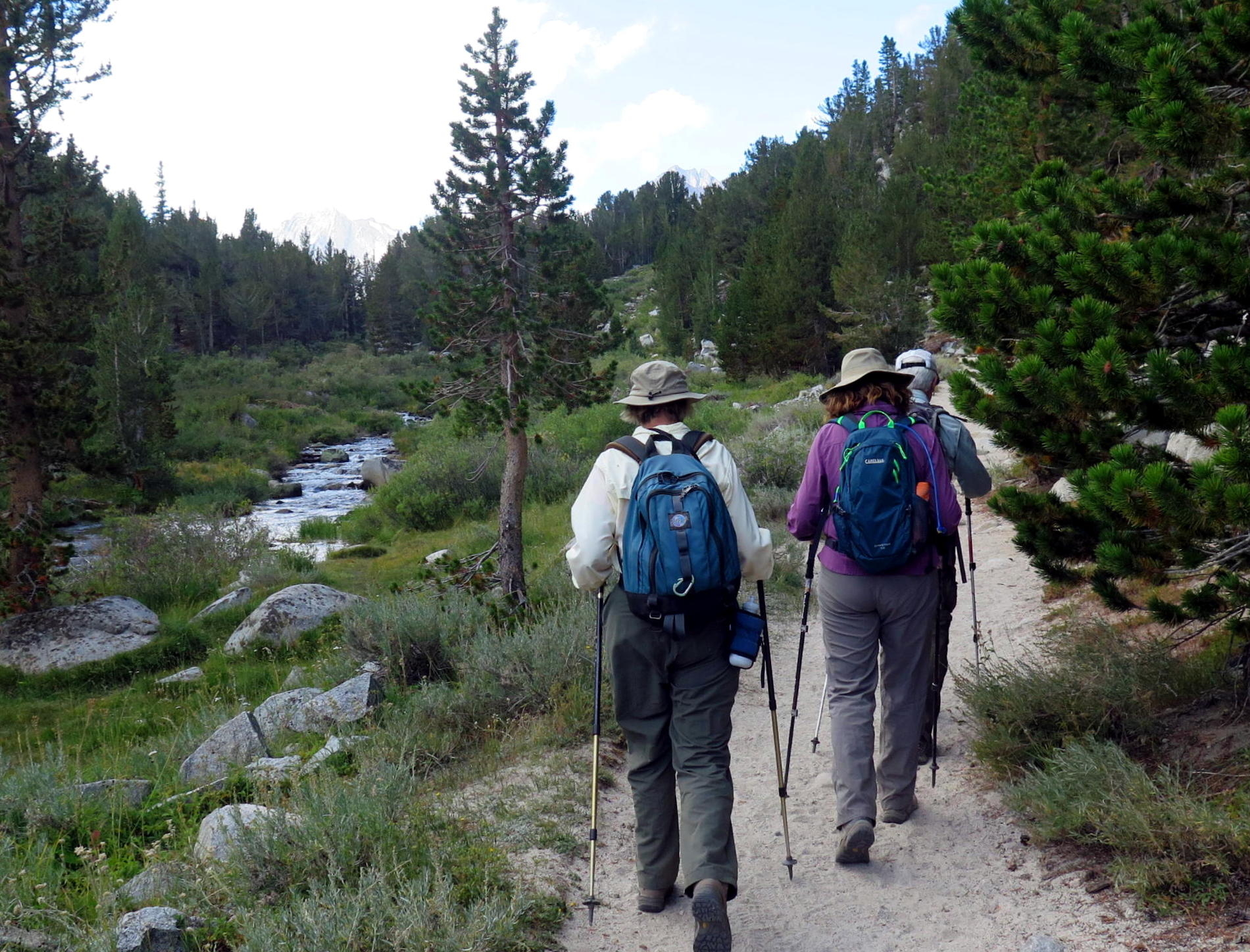
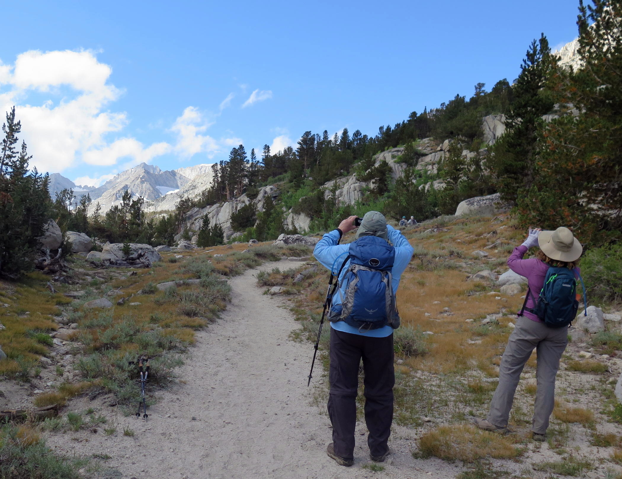
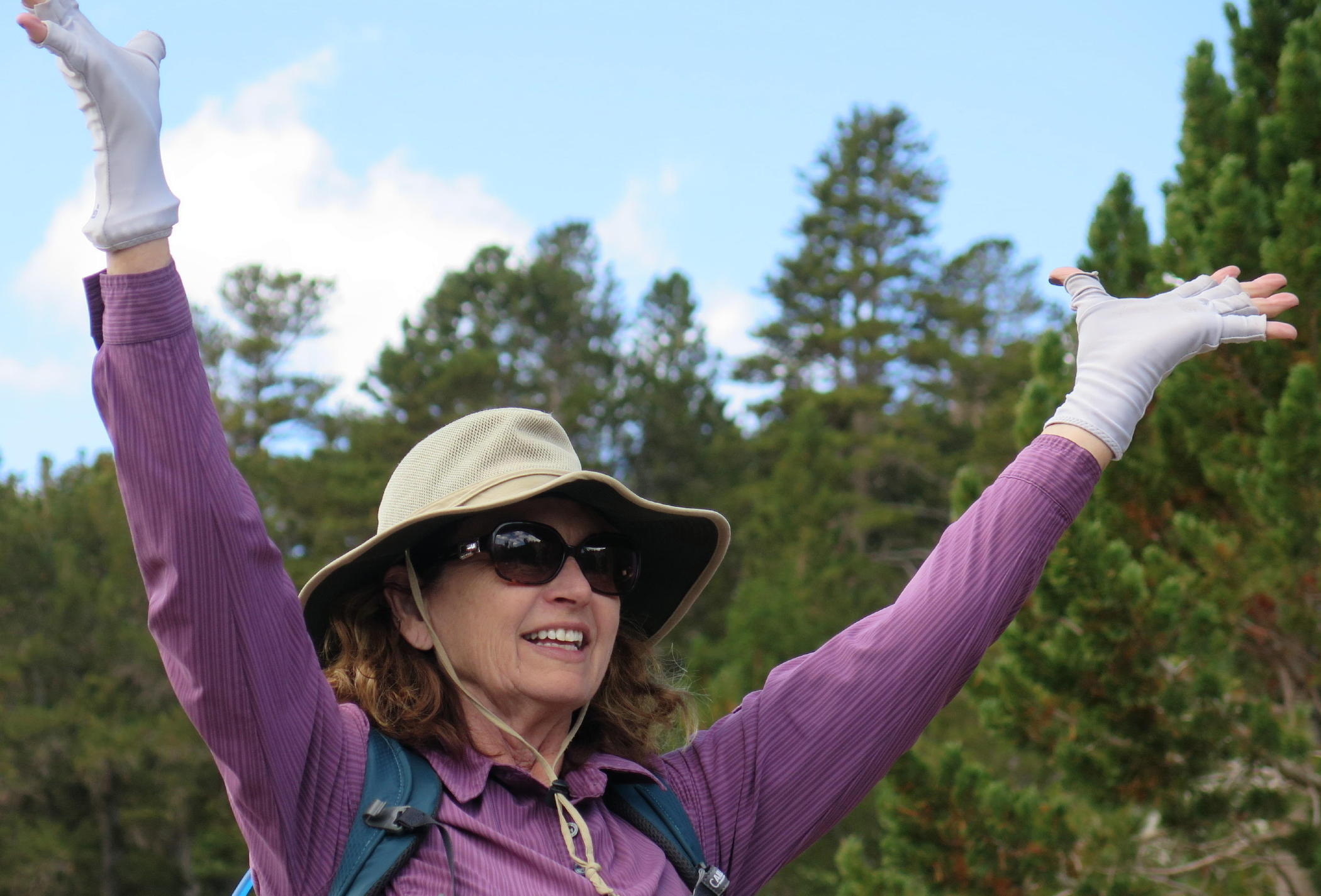
The third walk was a loop walk to Dorothy Lake. The trail starts at Rock Creek Lake, just uphill from the cabins & campground.
Out on the walk I was messing around with different lenses and fell behind the group, having a solo lunch by a tiny waterfall. On AllTrails this hike is called Tamarack Lakes Trail & Dorothy Lake Loop, 7 miles with 1,066 ft. of gain.
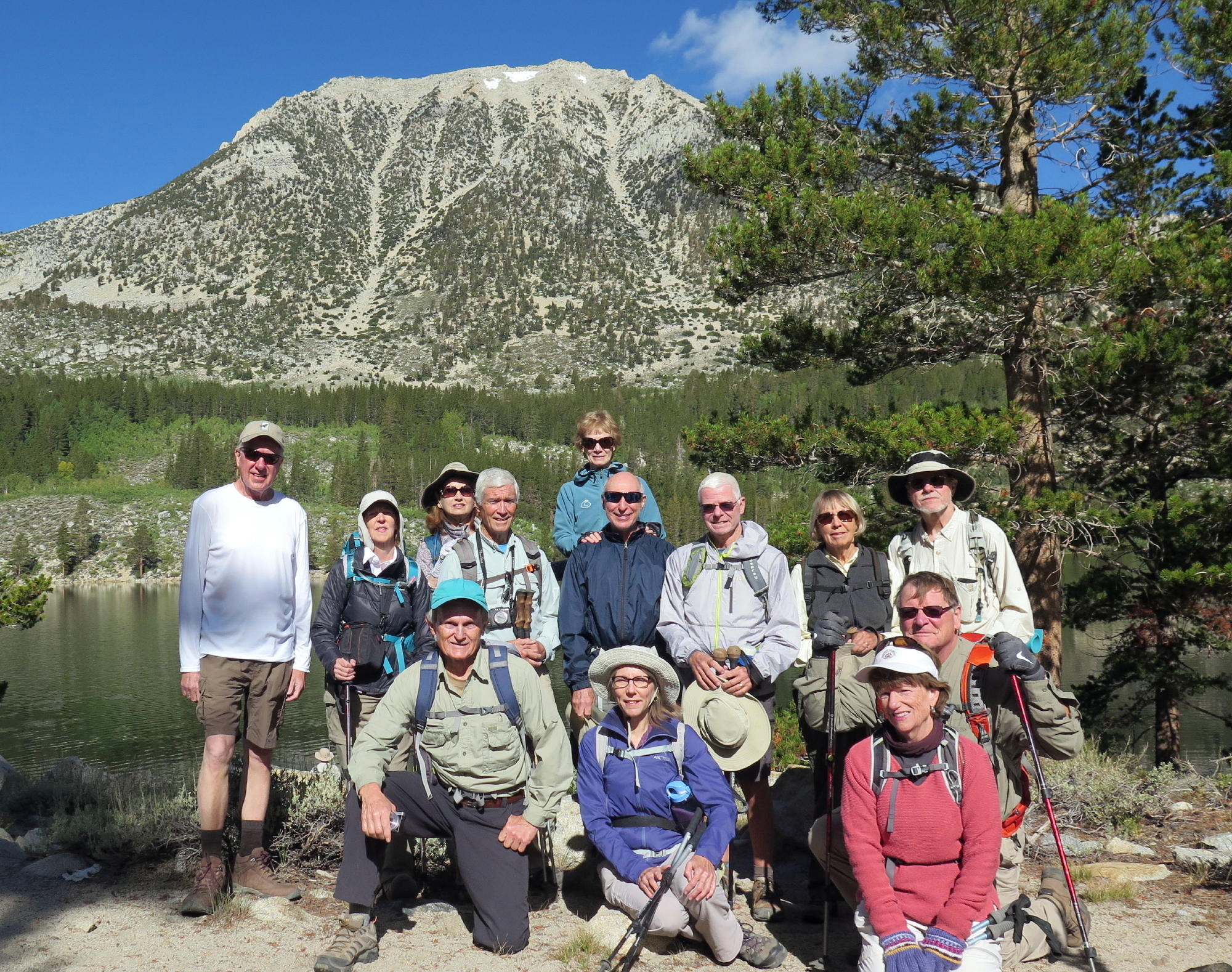 |
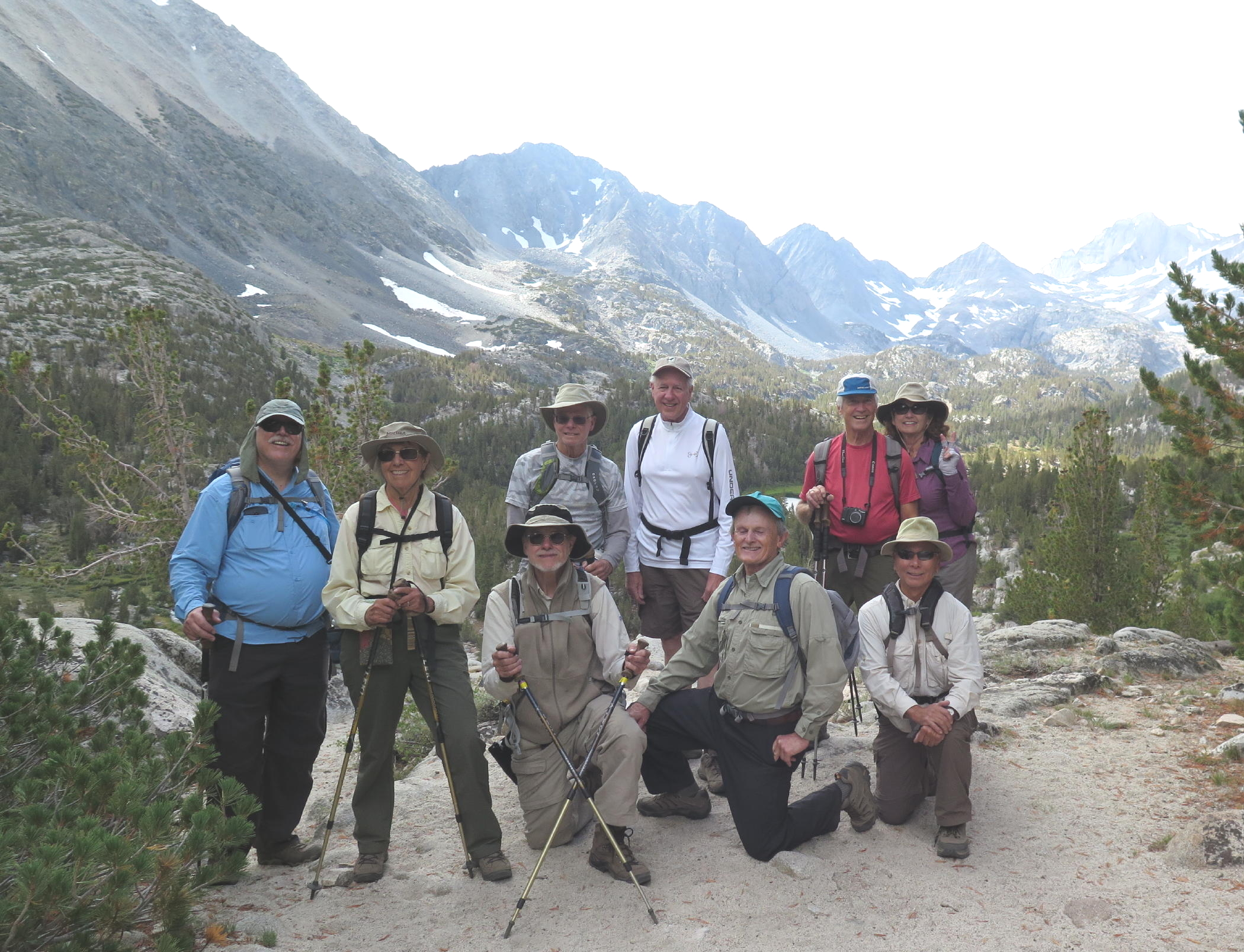
13 of us |
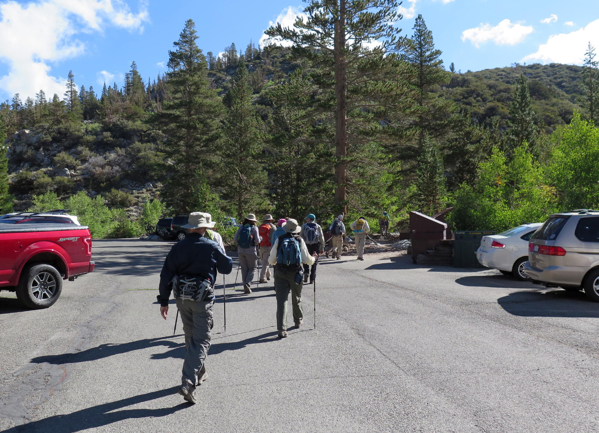 |
starting out |
 |
|
 |
morning in the Sierras |
 |
Dorothy Lake |
 |
|
 |
the others got way ahead of me |
 |
where I had lunch |
 |
hikers returning |
 |
 |
Linda & Lynda |
 |
||
 |
 |
on the way back |
 |
see note | |
 |
 |
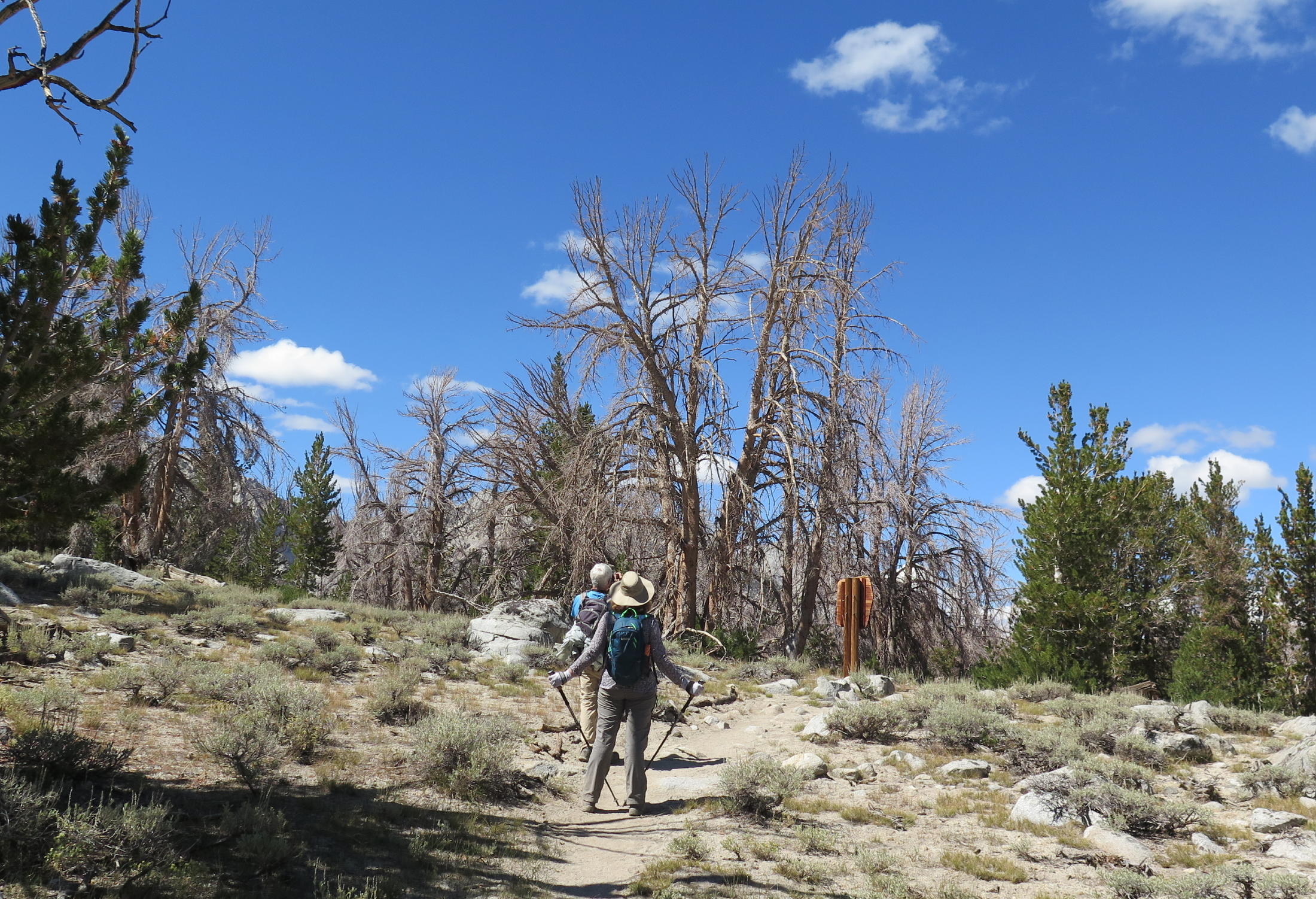
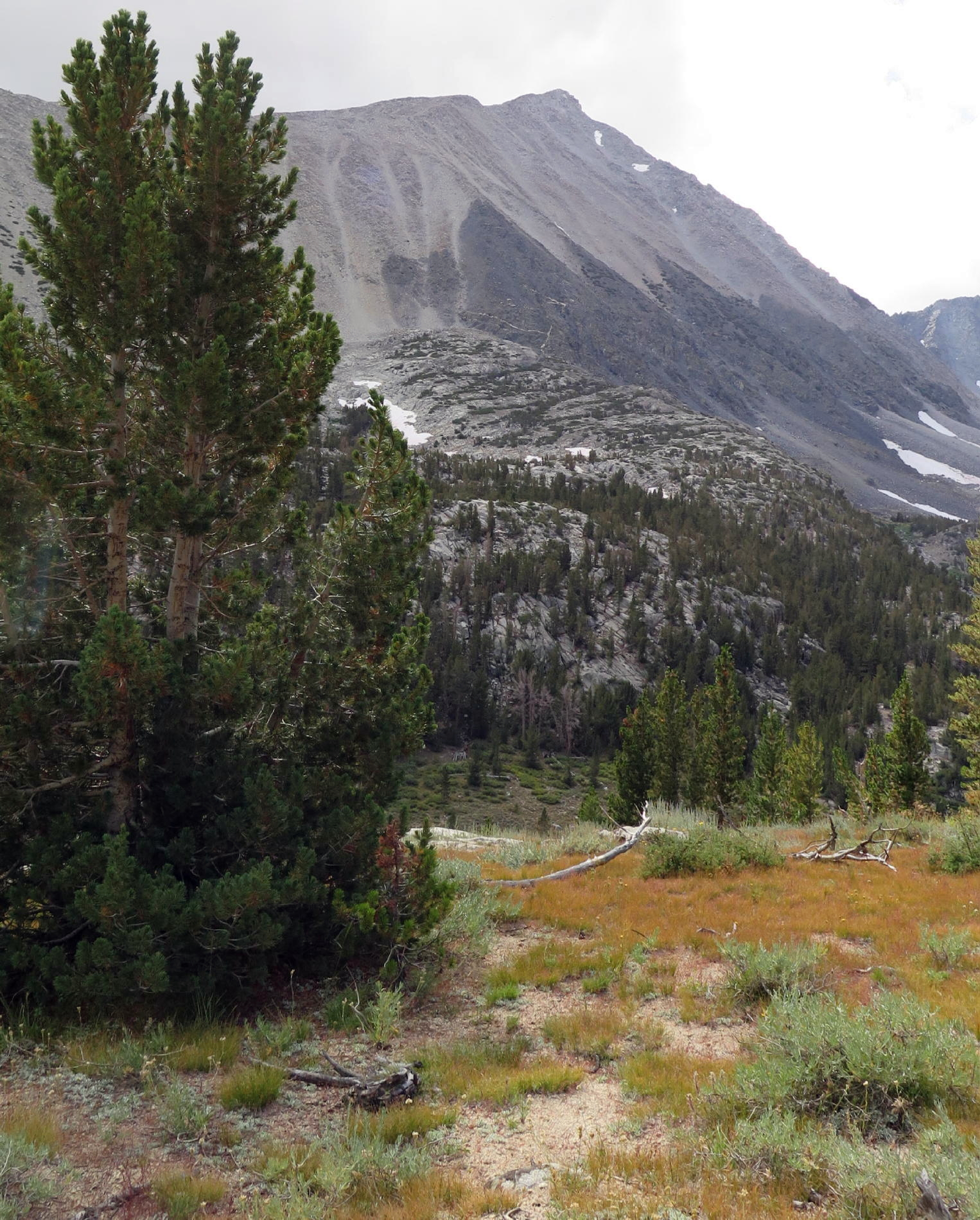
note - on the way back we walked through a few different woodsy areas where the trees were dead. but fire was not the cause.
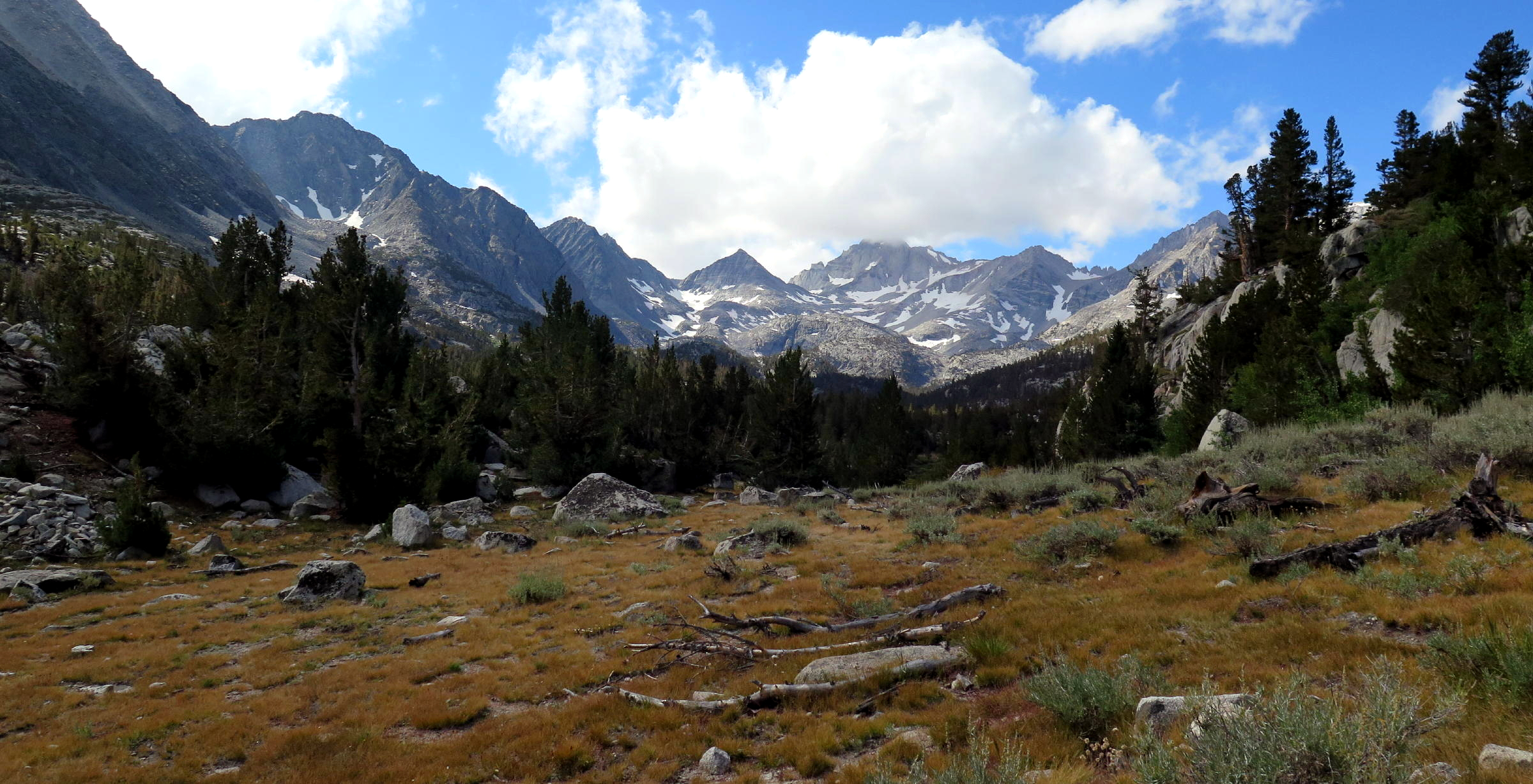
We had a 4th walk, an early morning re-visit to the nearby Lakes, via the Mosquito Lake trailhead. It was a somewhat cloudy day.
 |
trailhead |
 |
Rock Creek |
 |
higher up |
 |
R & L |
 |
'the range of light' |
 |
|
 |
Rich |
 |
Linda |
 |
|
 |
part of the gang |
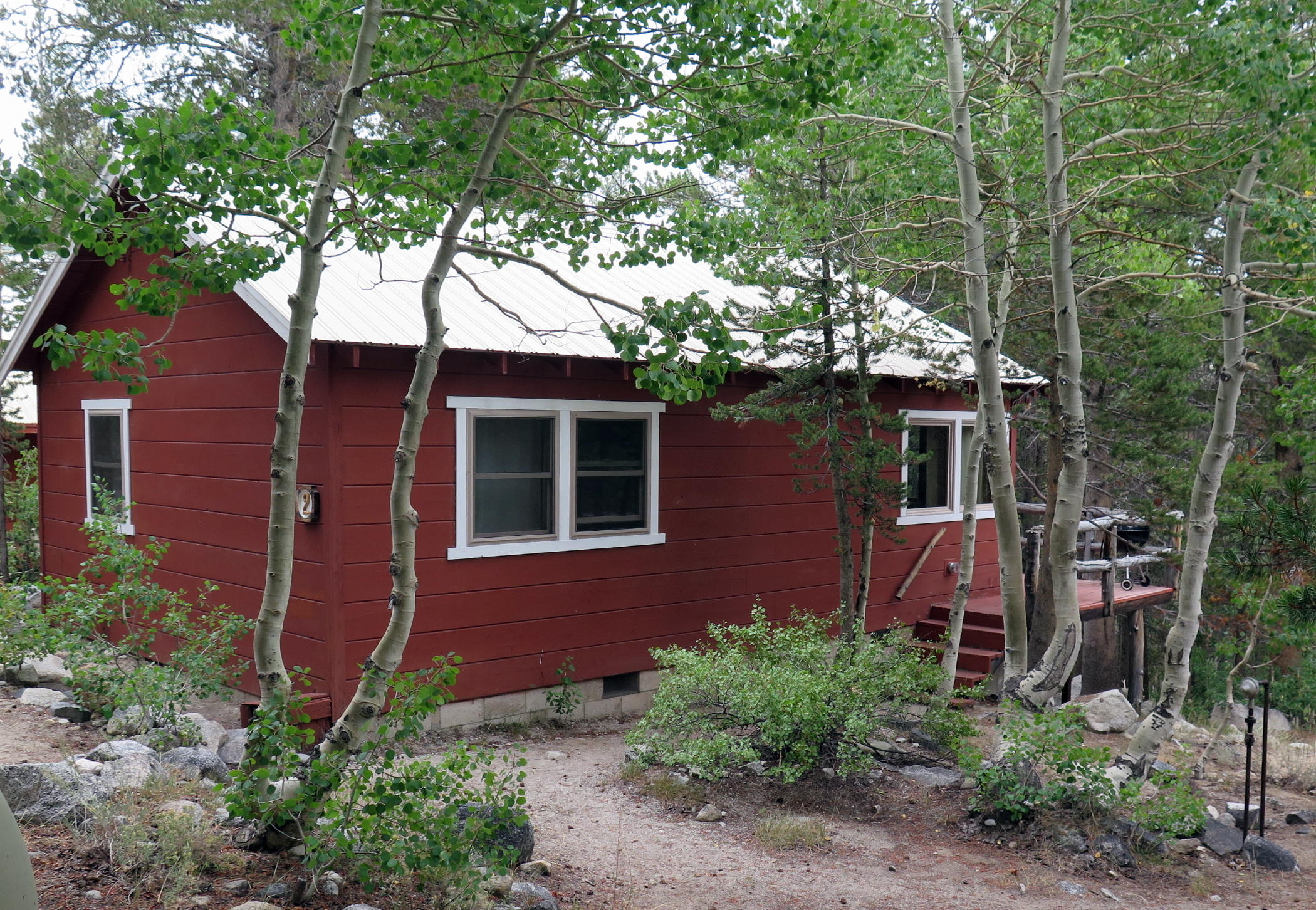 |
the cabin I rented |
note - many of us headed home after the short hike, with about a five-hour drive ahead.
It was a very good fall trip for the ES trip group. My thanks to all who were there.
Go to next page - 2018
return to eastern sierra index
return to index