.jpg)
Eastern Sierra hikes - 2010
return to eastern sierra index
return to index
In August 2010, on maybe our 4th Eastern Sierra trip, Rich & Linda and I camped at French Camp, a half-mile from Tom's Place, where Bonnie & Jean rented a cabin.
Tom's Place (7,000 ft.) is a tiny town, with a great restaurant, located just off scenic highway 395, roughly half-way between Mammoth and Bishop, Ca.
note - on a pc or laptop you can zoom in & and out, but not on a smartphone.
|
|
Walker Burger, see note 1 |
|
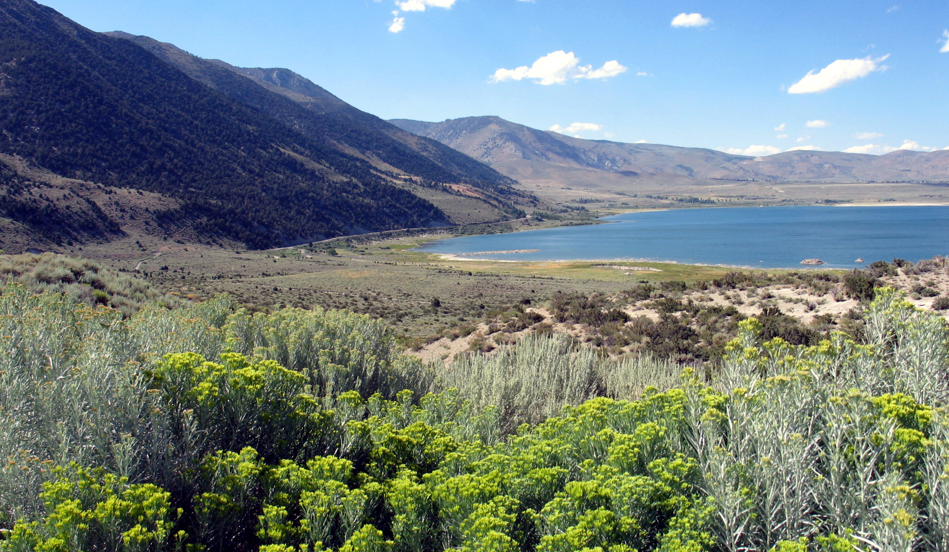
from the Mono Lake visitor center |
|
the drive south on 395 |
note 1 - about Walker Burger - when you head east from Sacramento towards the East Sierra, the drive is via Hwy 50 and Sly Park/M.E. Road and Hwy 88 over Carson Pass, and then Hwy 89 over Monitor Pass, to get to 395 south, what could be more welcome (after about 3 hours of driving) than this terrific roadside stop in Walker, to enjoy classic road food (burgers, fries, shakes, etc.) while sitting under shade trees, with plants and fountains all around, an oasis.
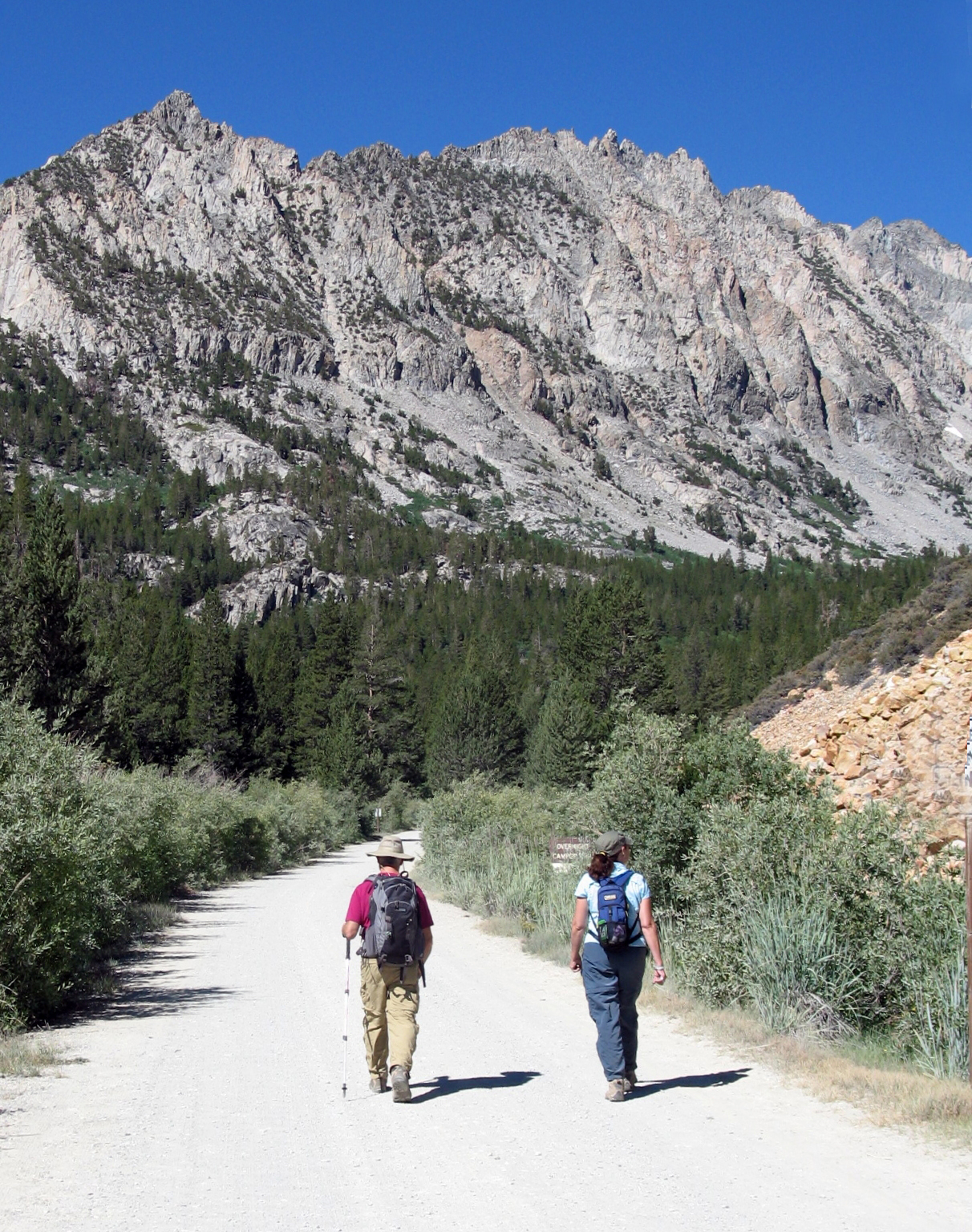
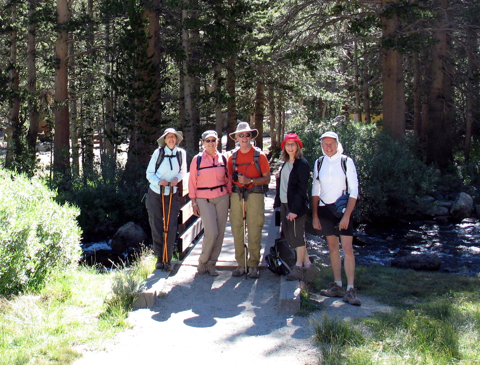
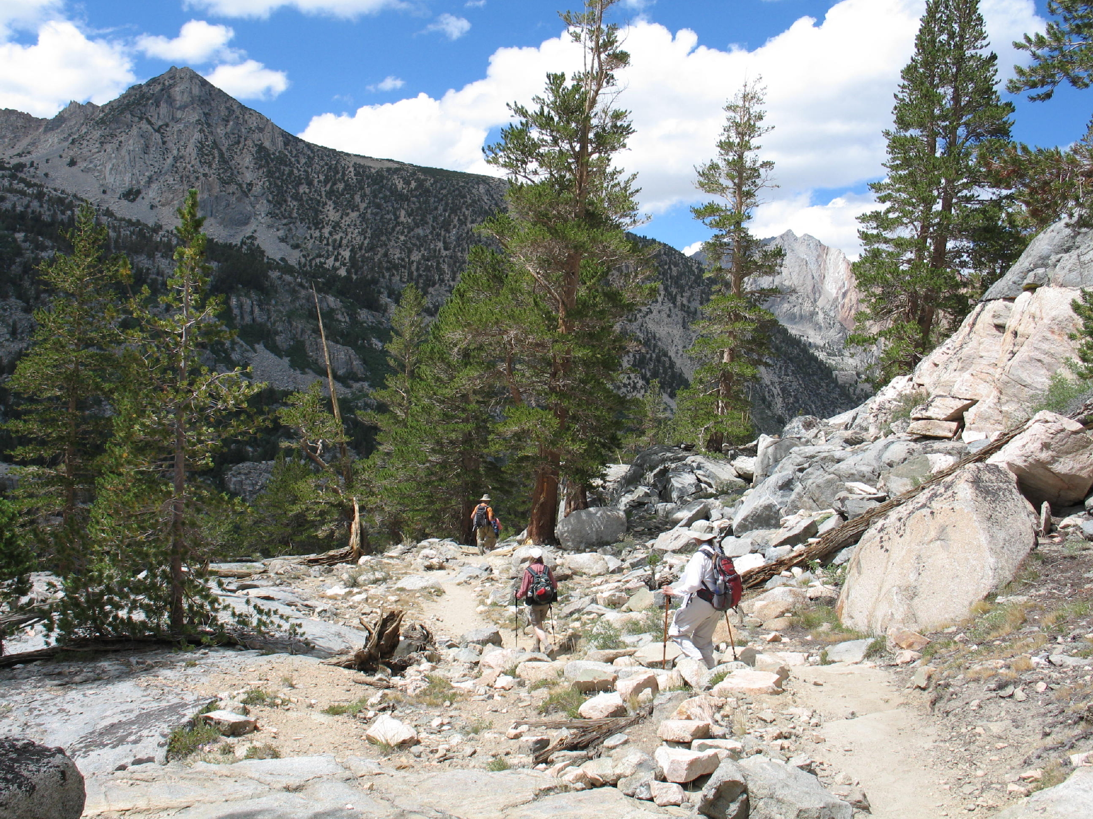
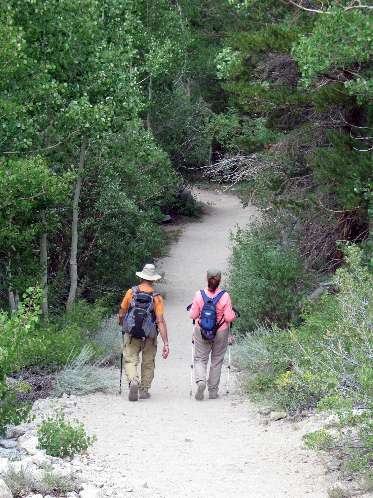
On the first and third hiking days, we drove south on Hwy 395 from Tom's Place, losing 2,000+ ft on the descent to the Bishop area. The road straight west (from 395) to the Piute Pass trailhead is about 10 miles south of Bishop.
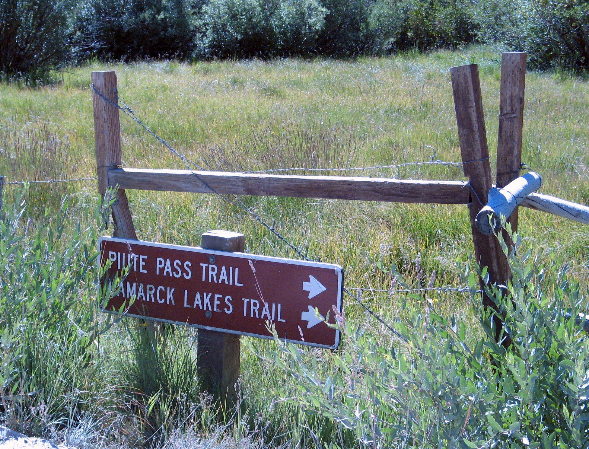
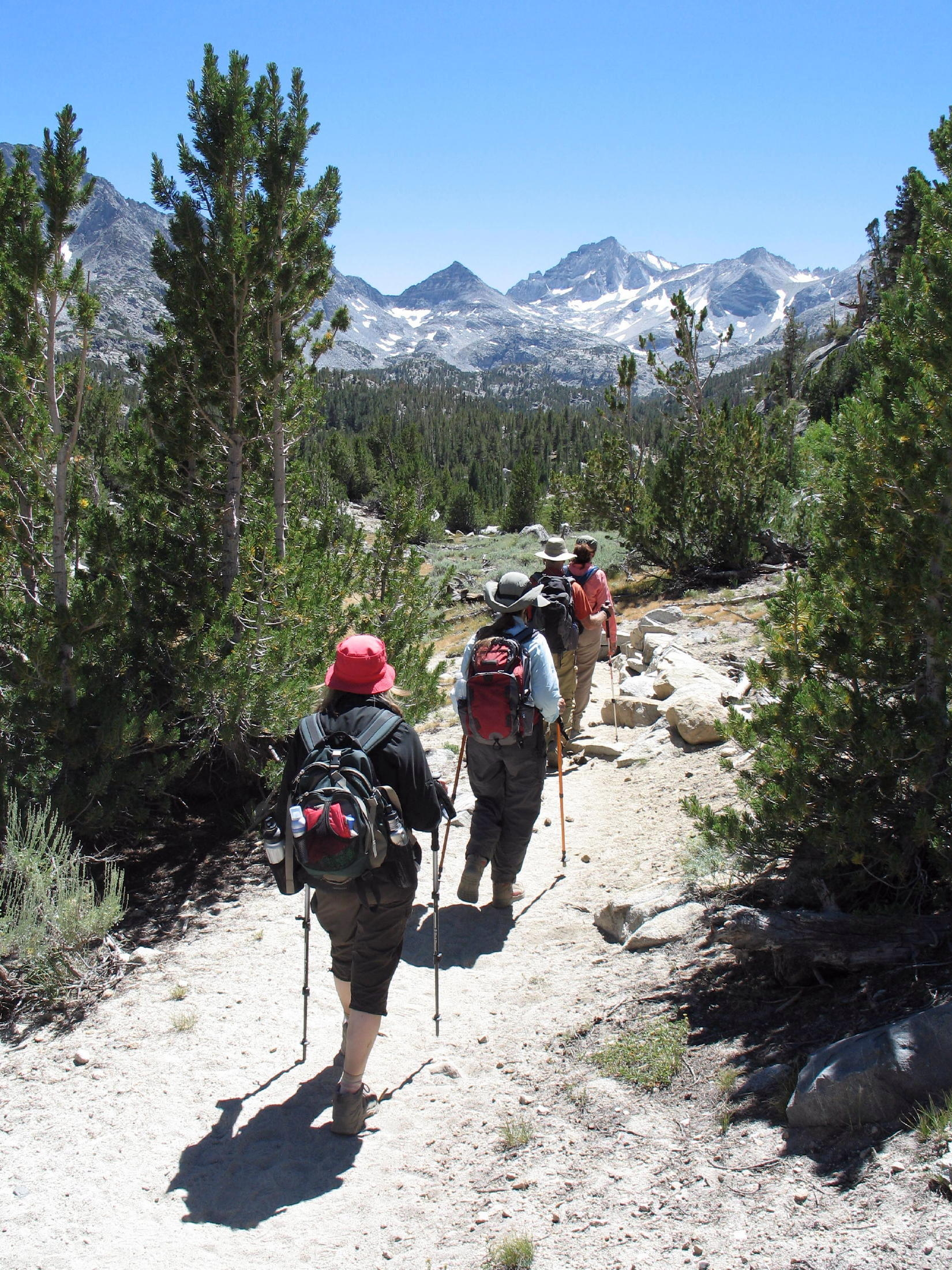
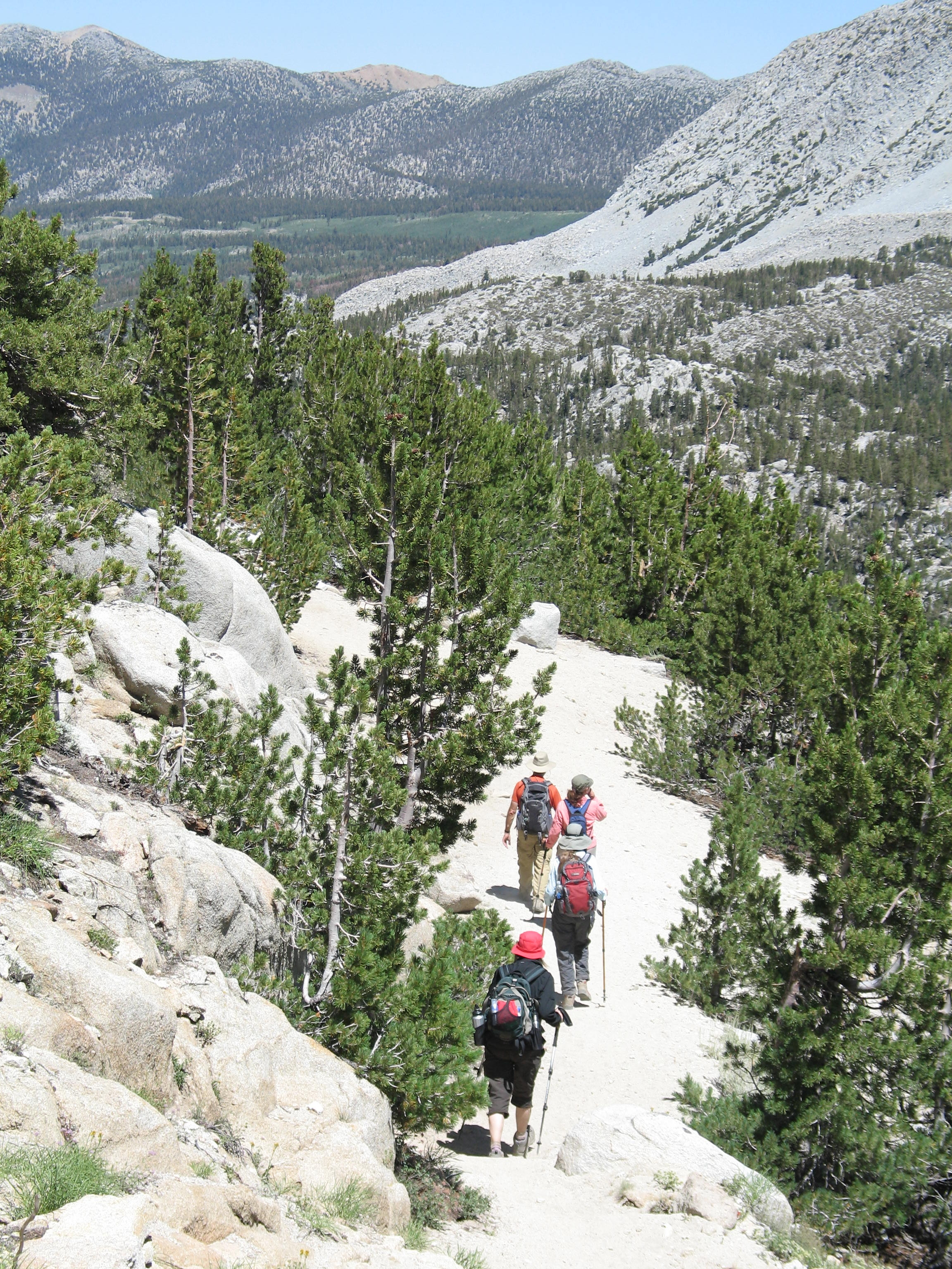
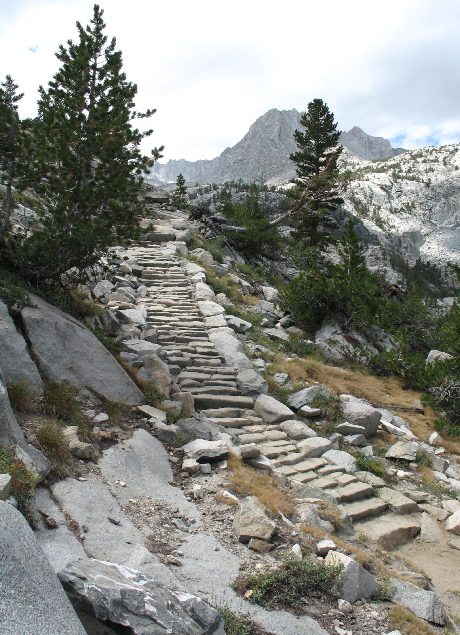
Piute Pass
 |
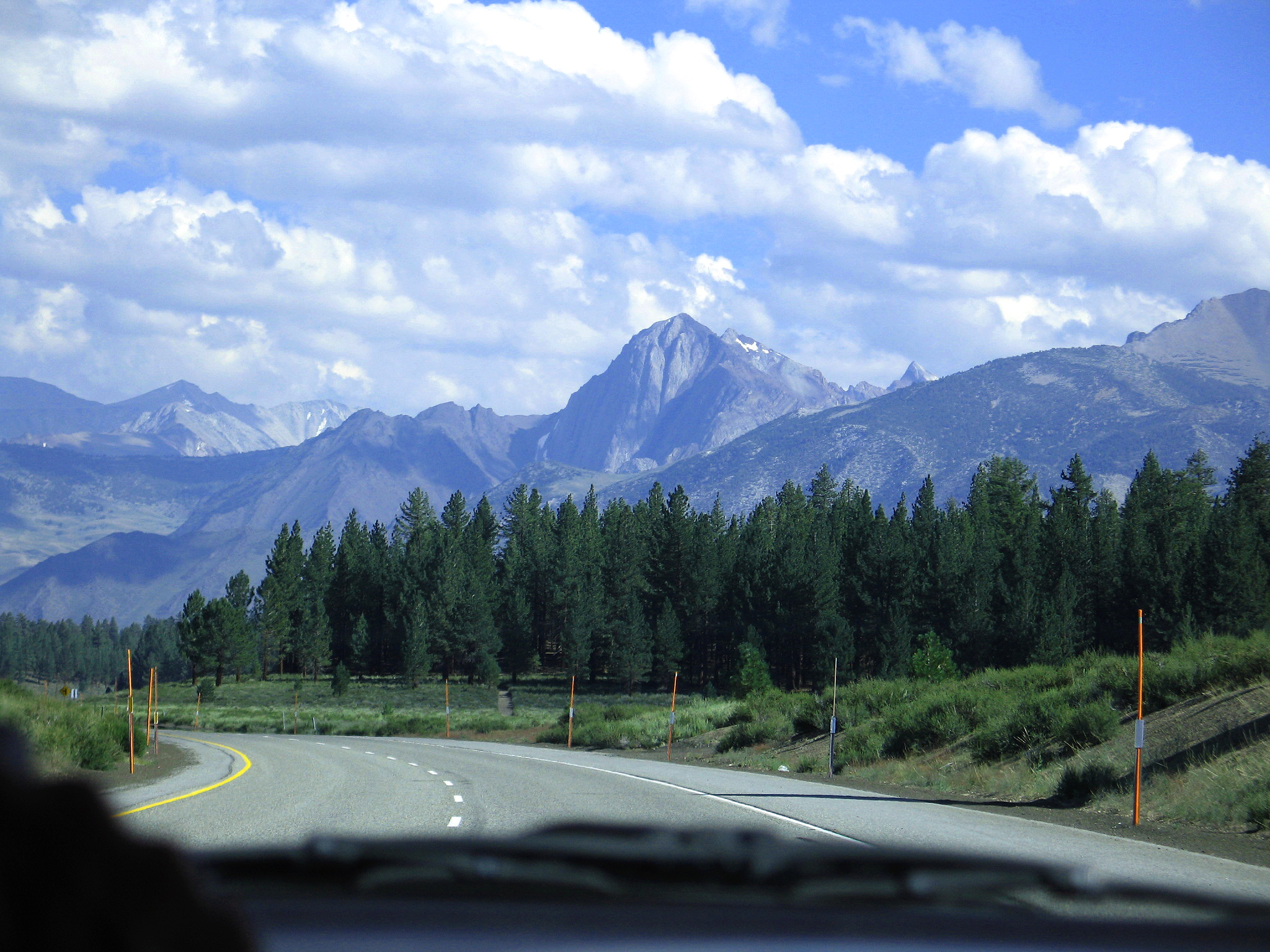
from 395 south |
 |
Piute Pass walk |
 |
trailhead at 9,360 ft. |
 |
way out west ! |
 |
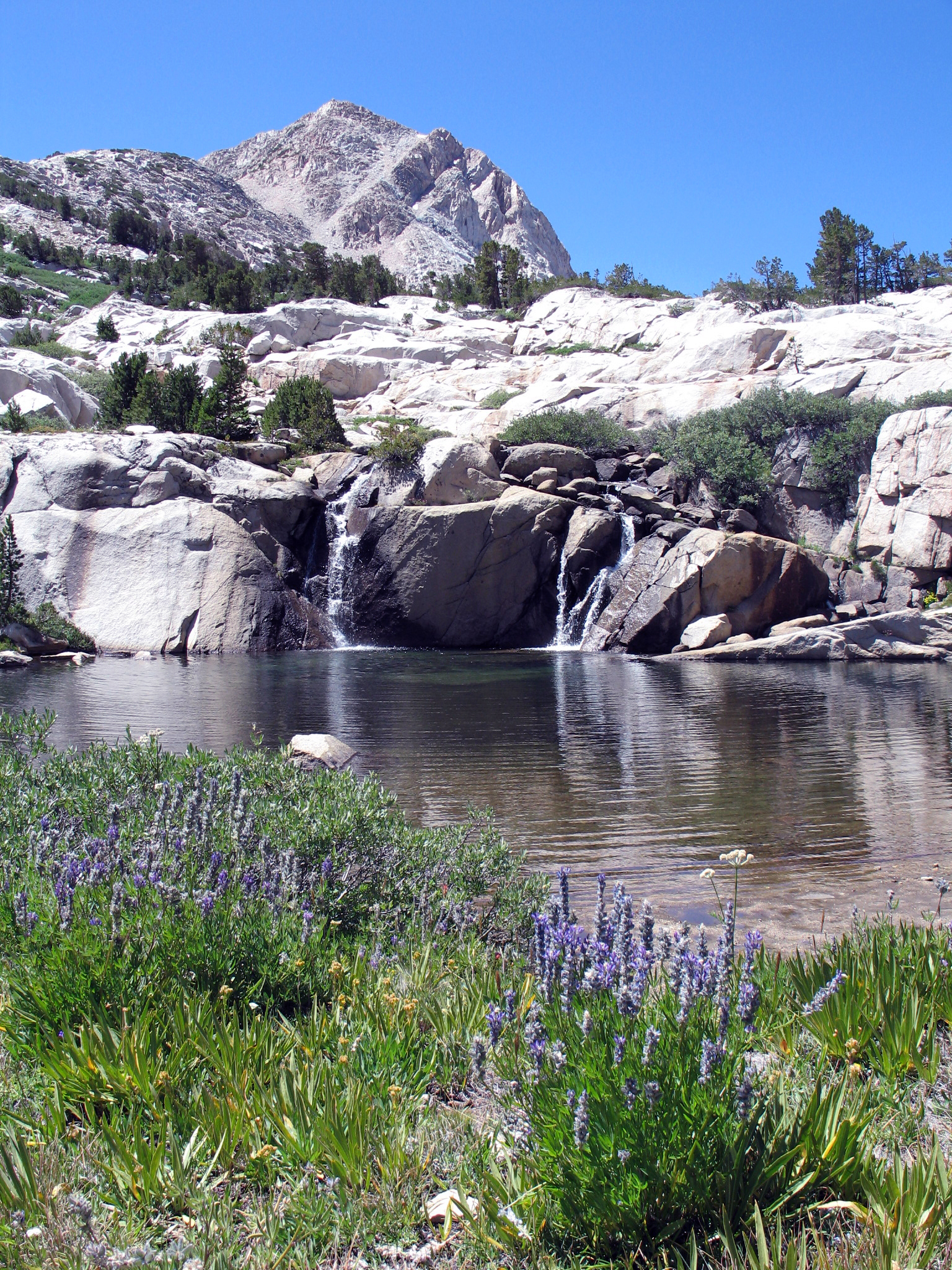
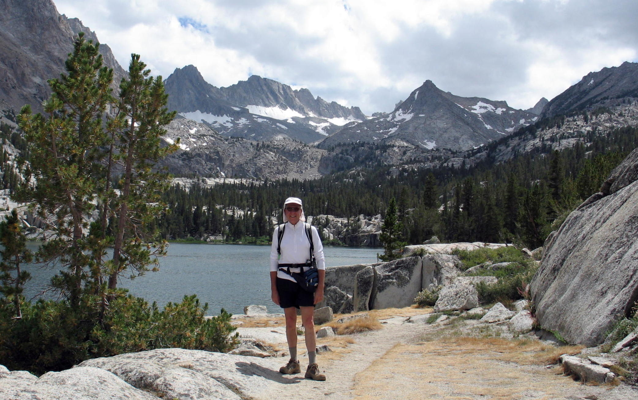
Loch Leven at 10,800 ft. |
 |
|
 |
turnaround point |
 |
up for a cold swim ? |
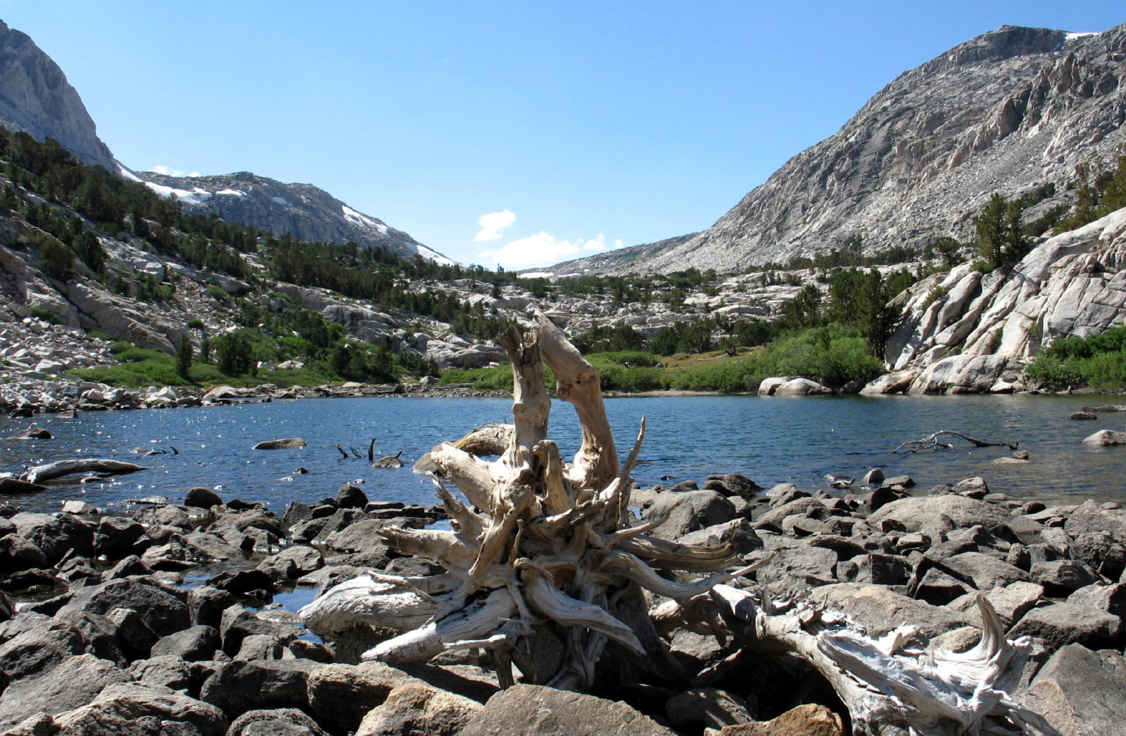 |
Piute Lake at 10,900 ft. |
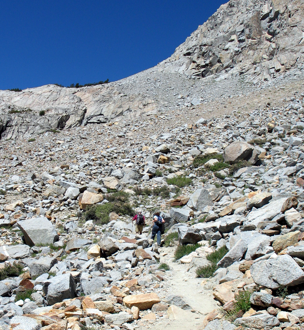
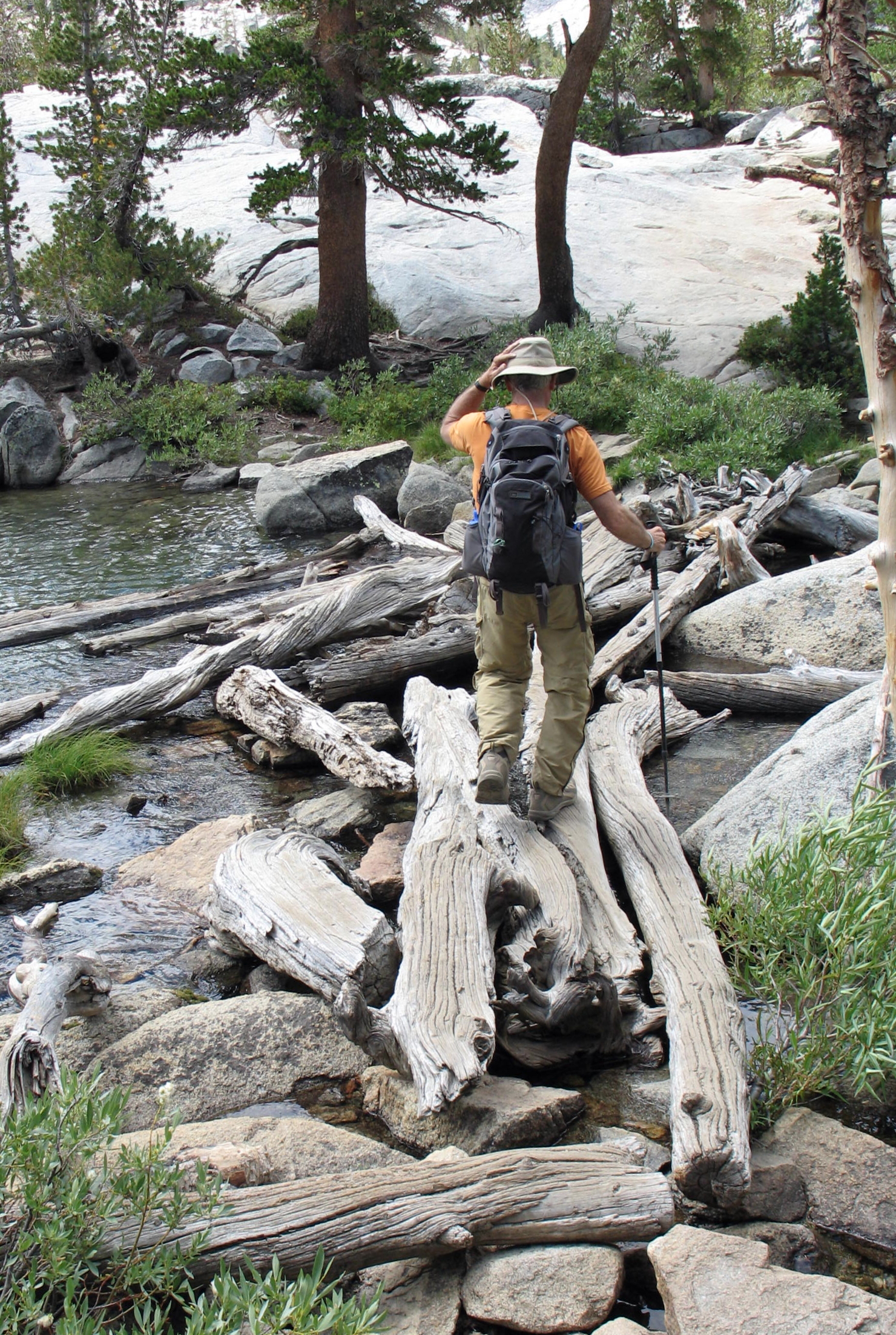
On AllTrails the Piute pass trail is shown as 9.3 miles round trip, with 2,073 ft, of gain. The pass is at 11,423 ft. and we got close, but ran out of gas.
For flatlanders like us, getting to almost 11,000 ft. is a great altitude-acclimation day !
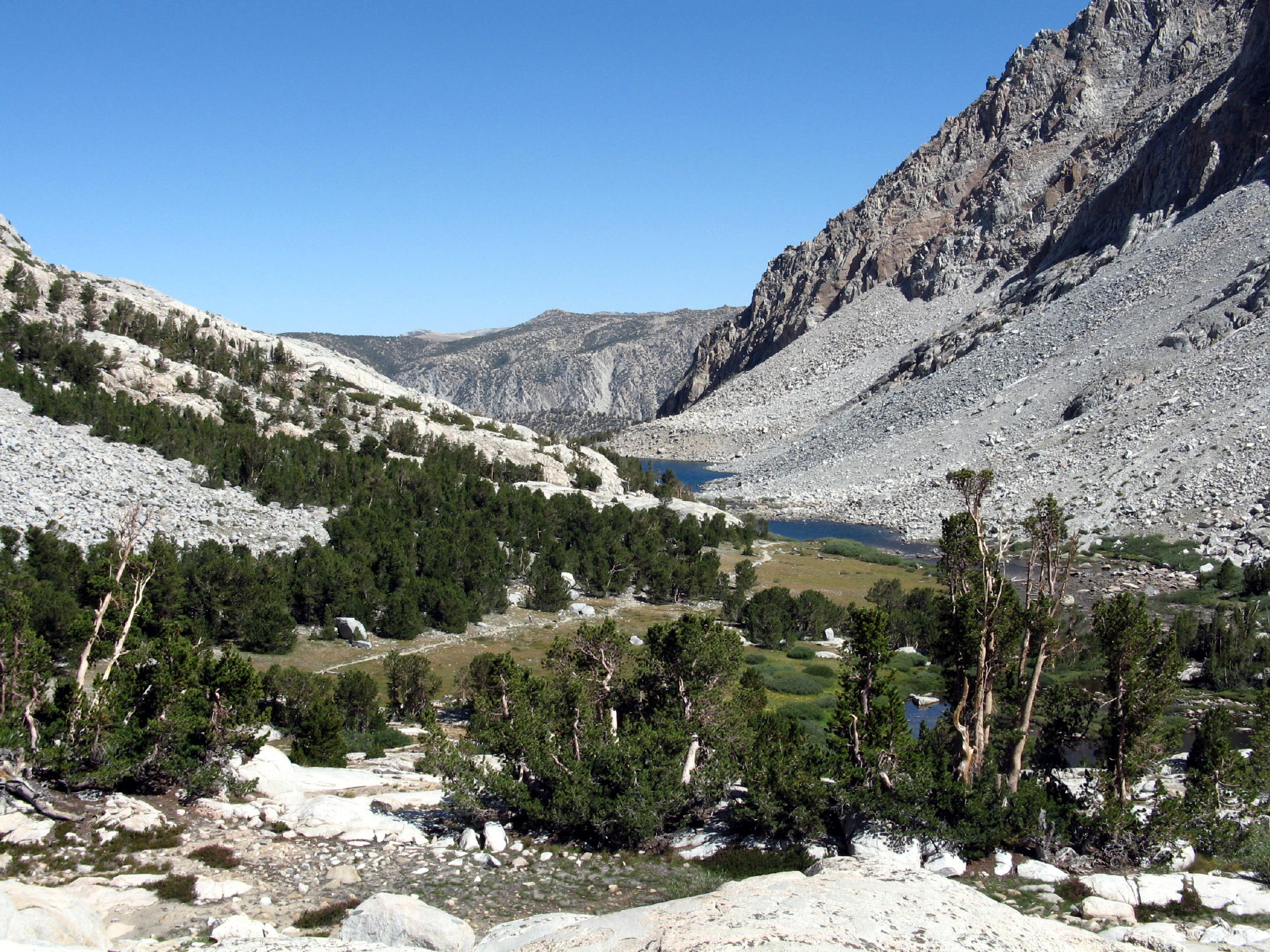
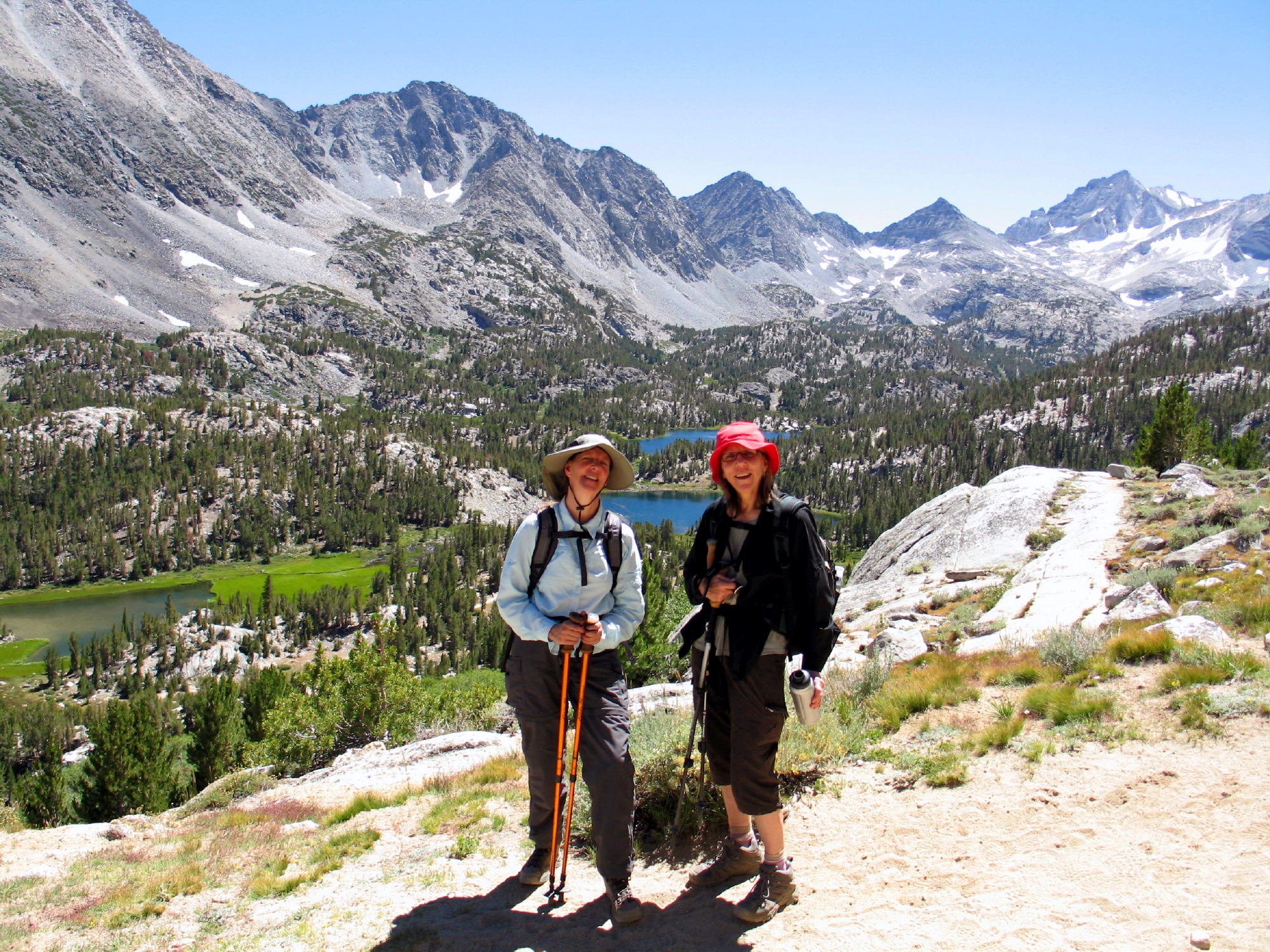
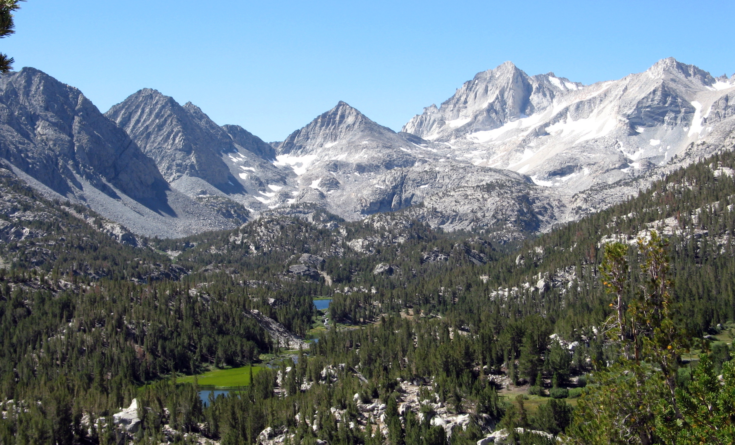
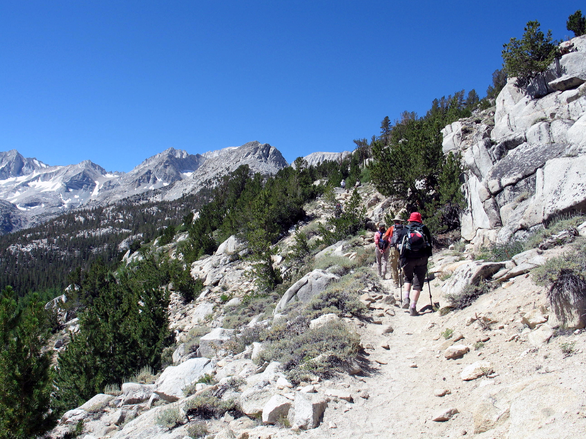
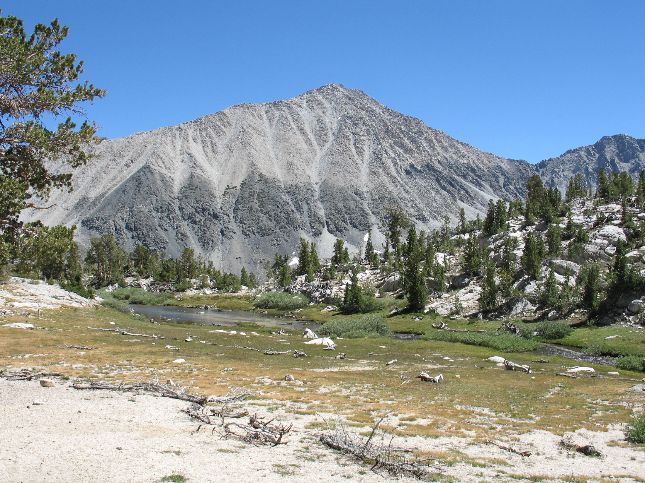
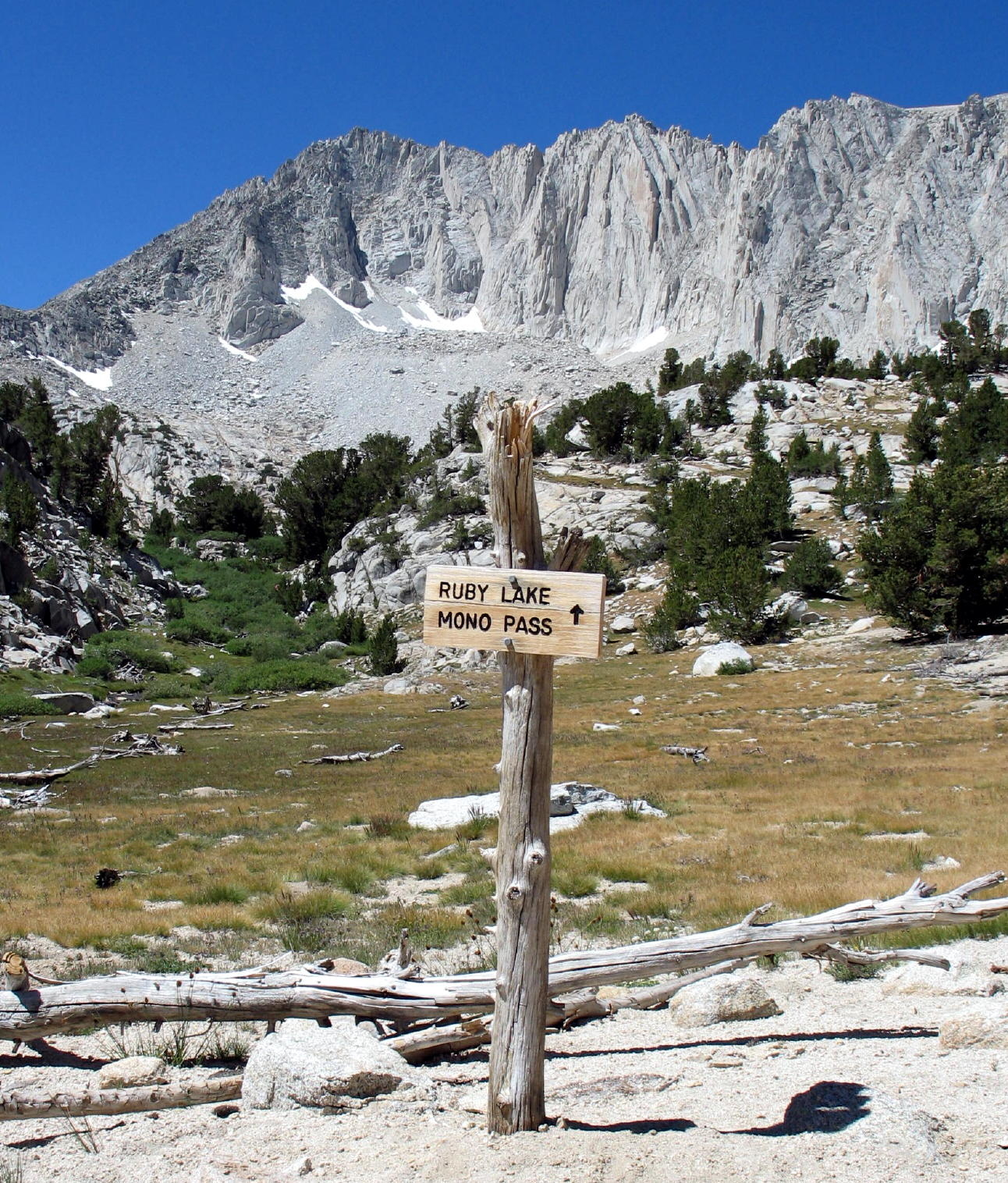
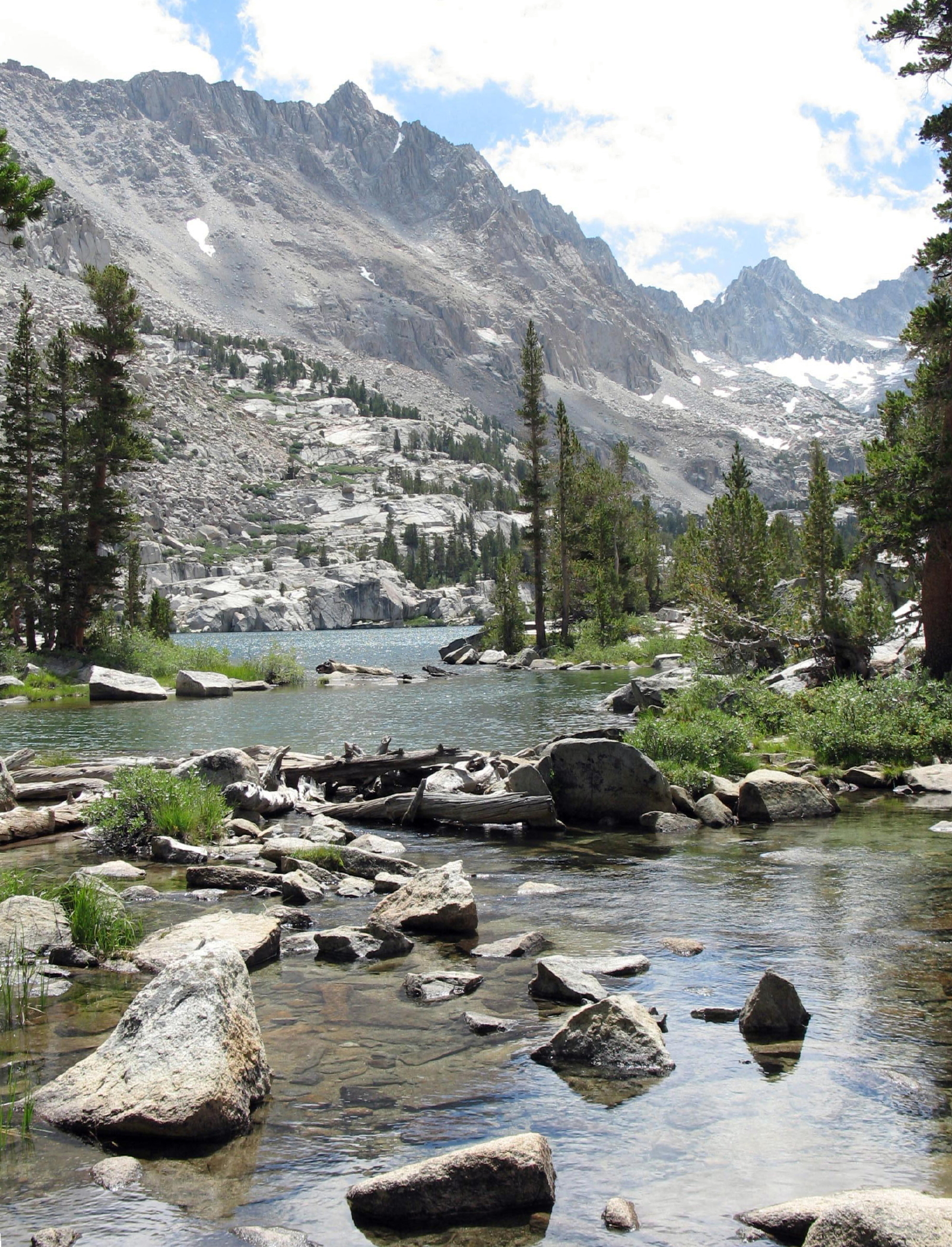
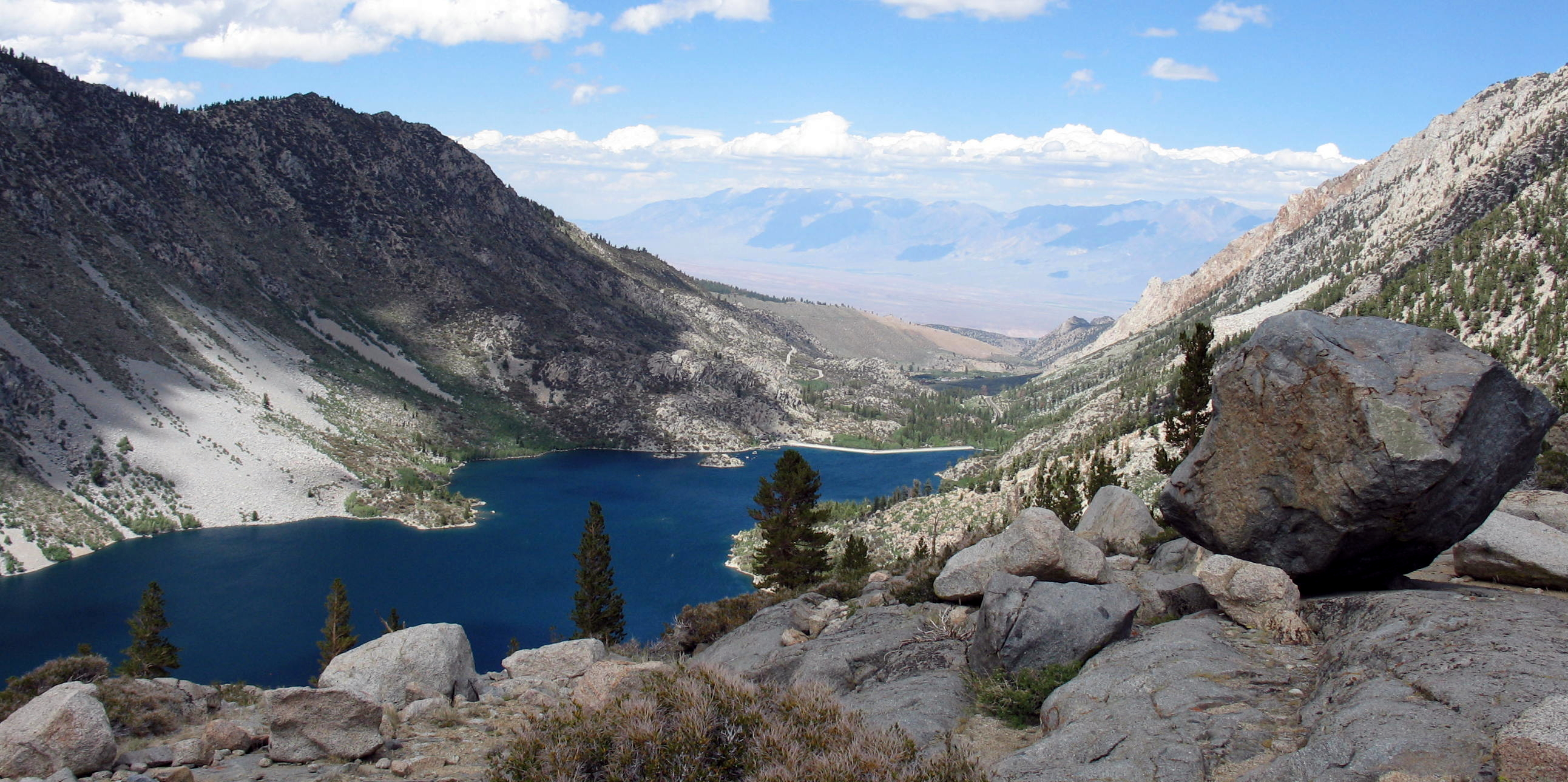
Rock Creek Lakes & Mono Pass
The trailhead at Mosquito Flat is a 20 minute drive up the road from Tom's Place. When you start walking at 9,500 ft., it only takes 90 minutes of hiking to be in amazing mountain scenery, in this case, a series of lakes surrounded by peaks up to 13,000 ft.
 |
trail to Rock Creek Lakes |
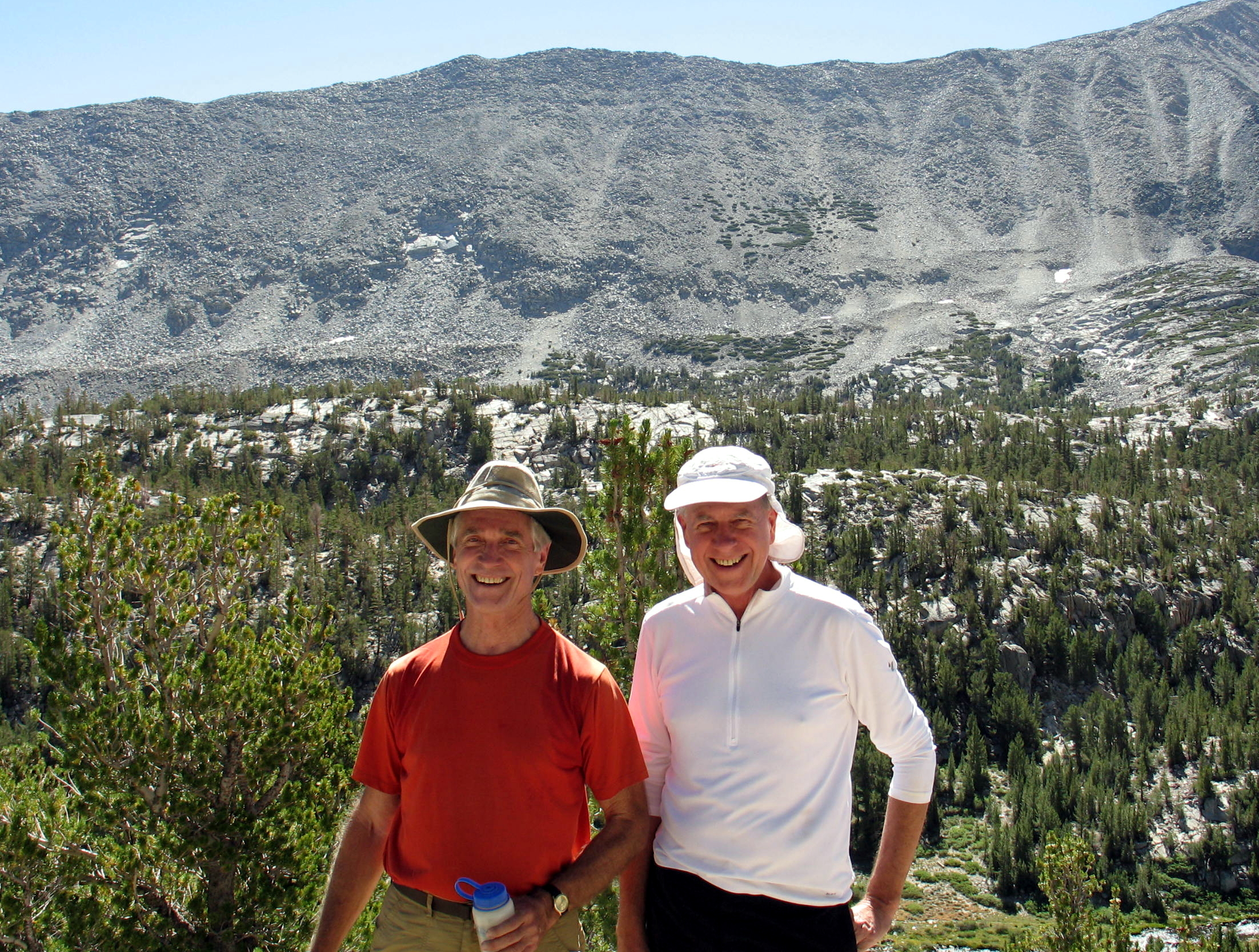 |
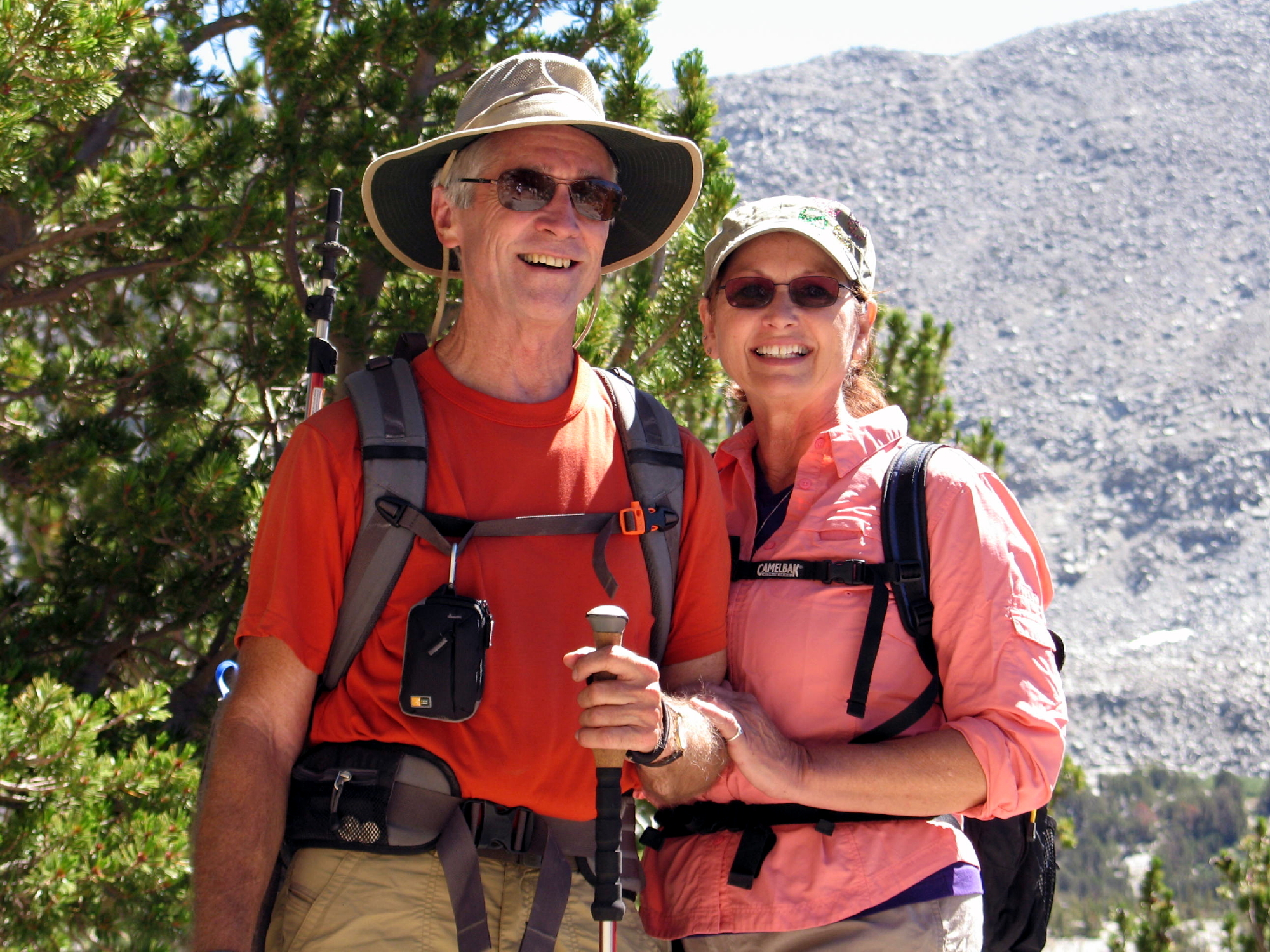
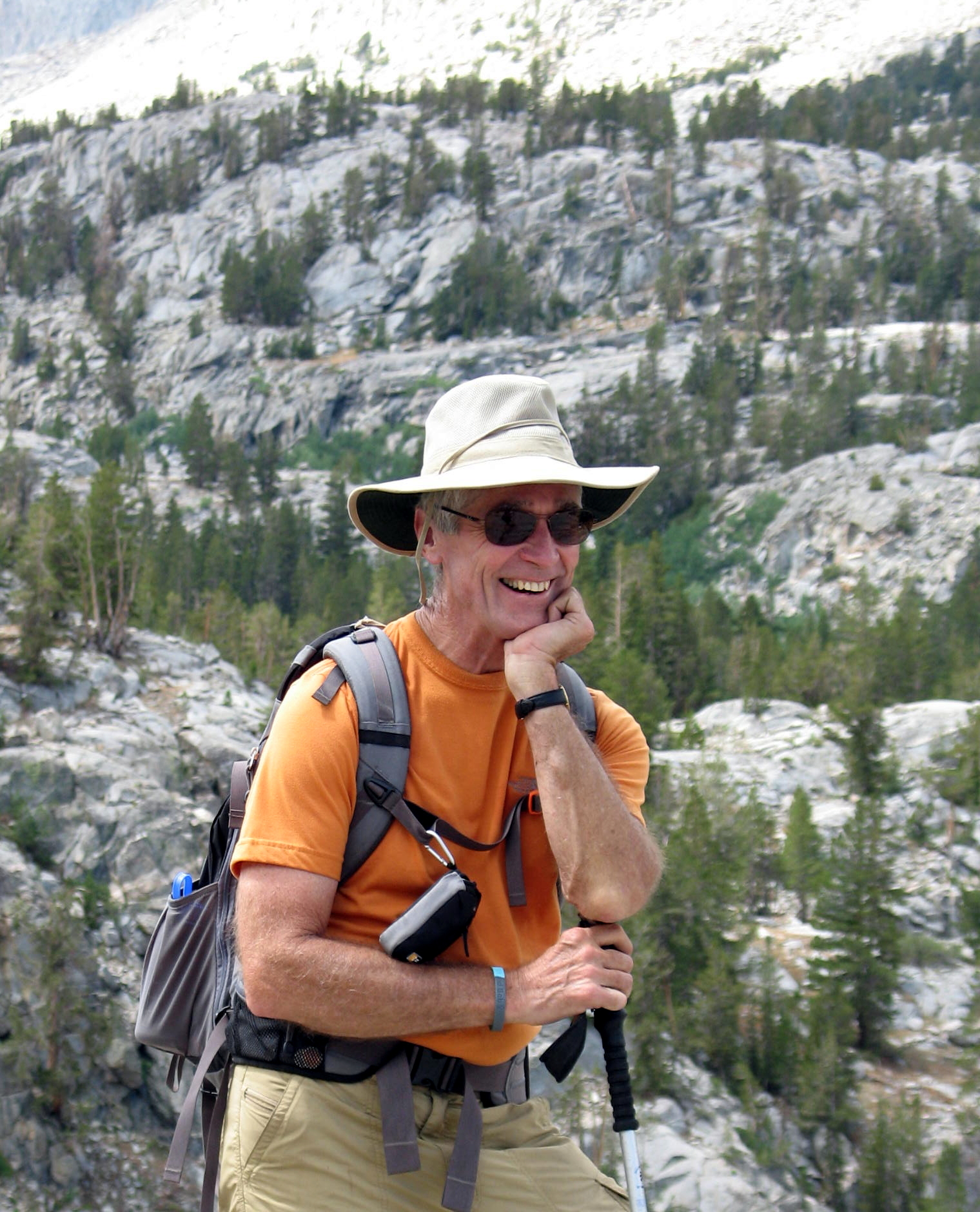
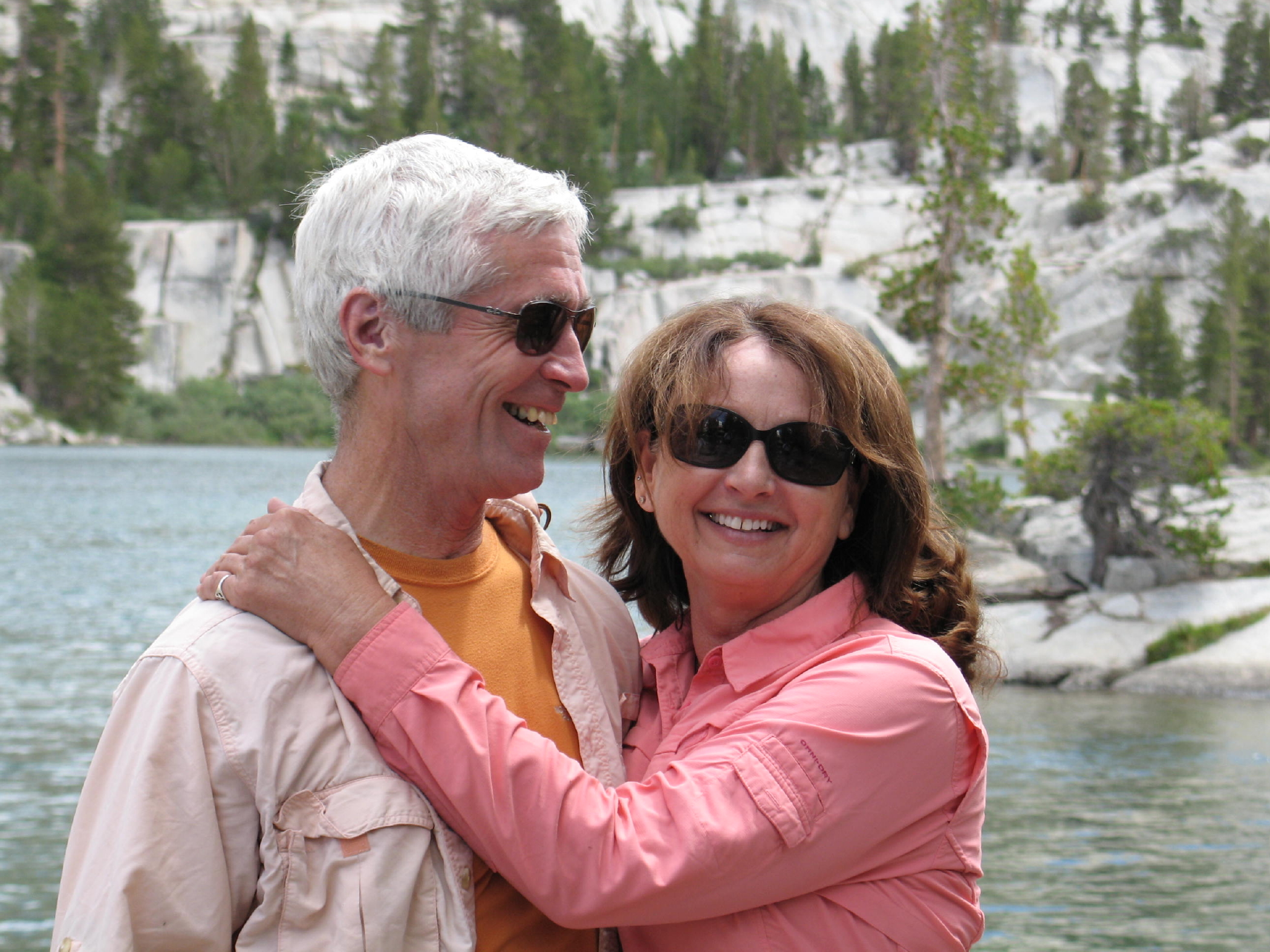
Rich and I, circa 2010 (Mt. Abbott behind us) |
 |
|
 |
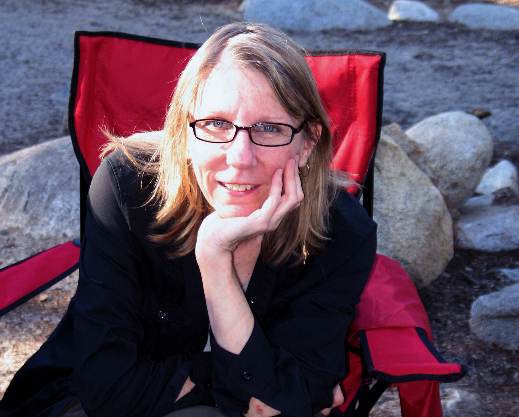
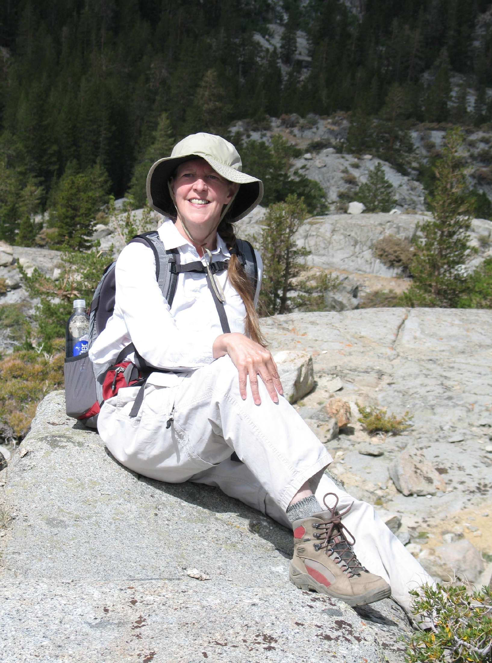
Bonnie & Jean |
 |
Rock Creek Lakes | ||
 |
a turn to the north |
 |
Mt. Abbott |
 |
|
 |
near the high point |
 |
the descent |
 |
|
 |
Rock Creek |
 |
at the campsite | ||
 |
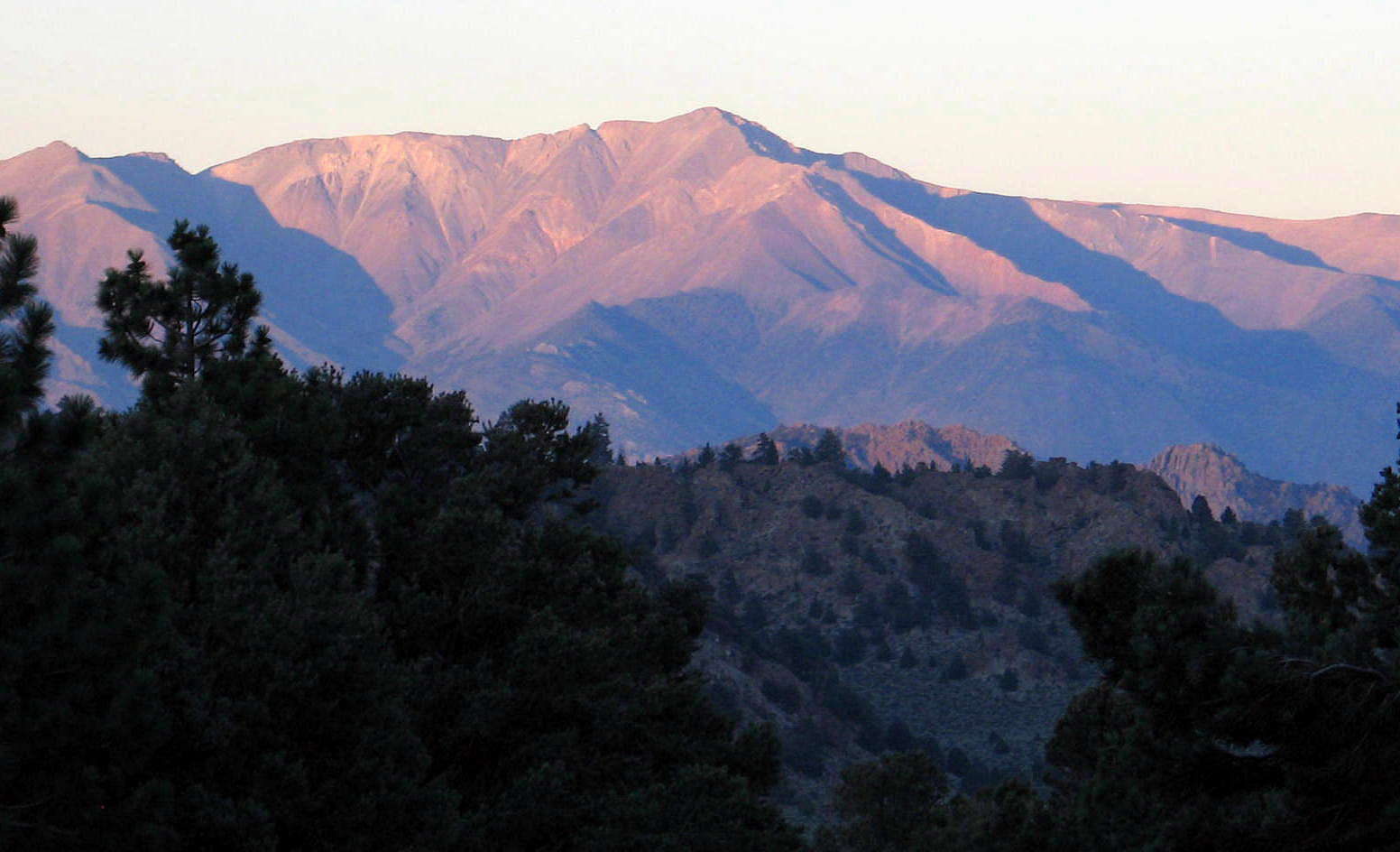 |
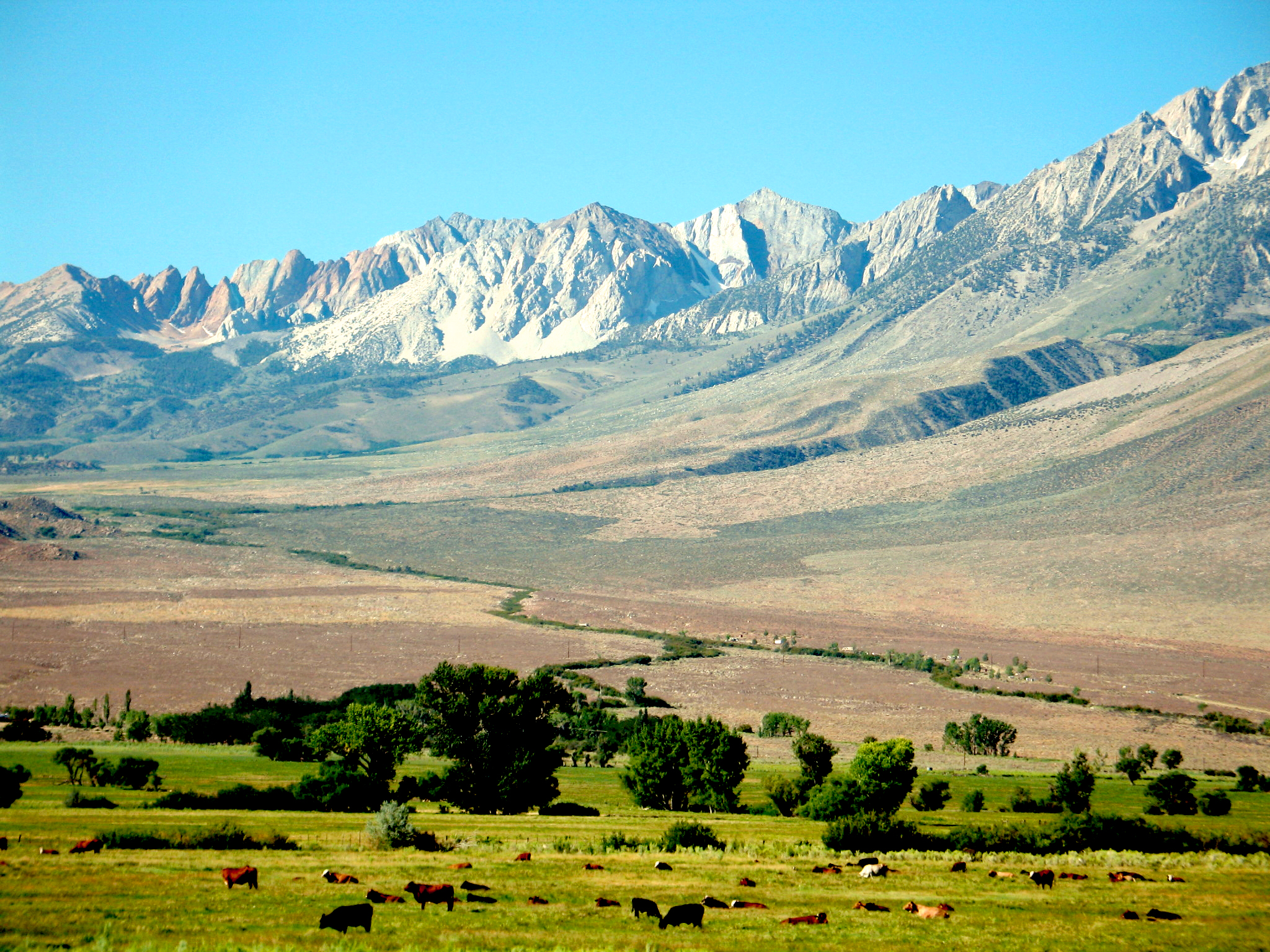
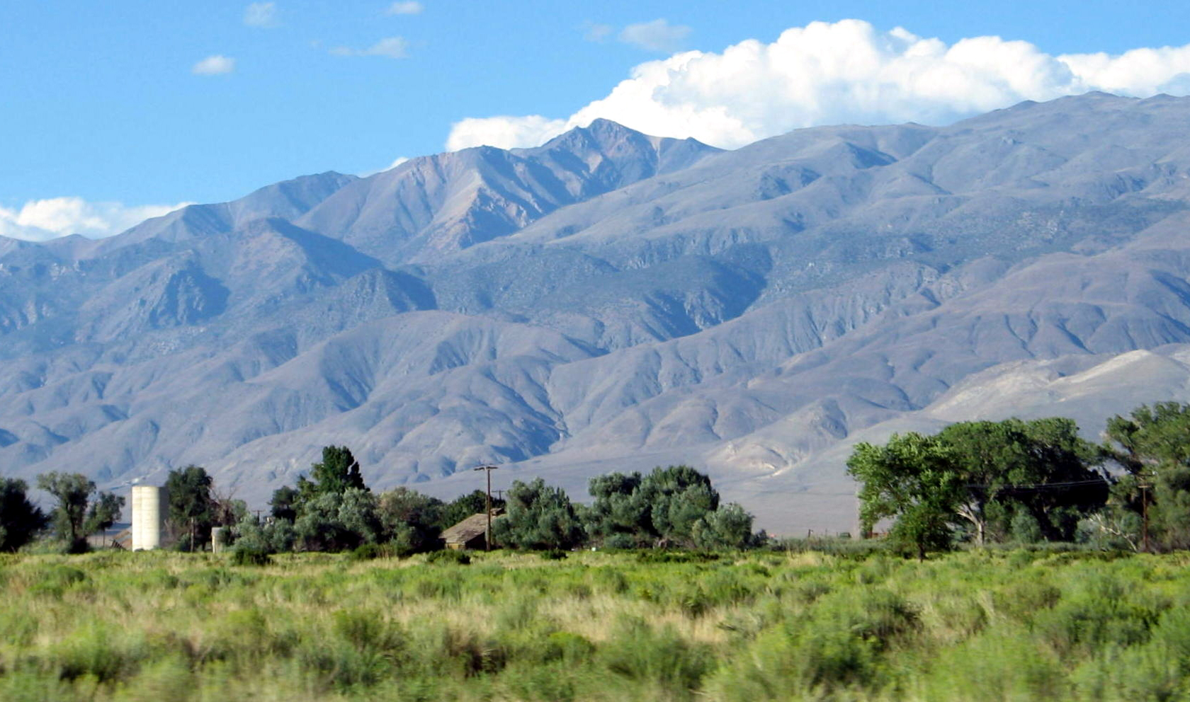
White Mountain, 14,252 ft. |
After the walk I think we dined at Tom's Place, and then Bonnie and Jean hung out at our campsite for awhile. Only a few minutes' stroll away was an overlook with a view of White Mountain.
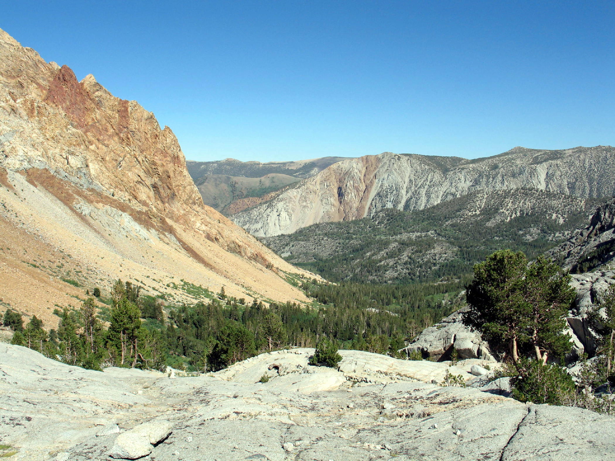
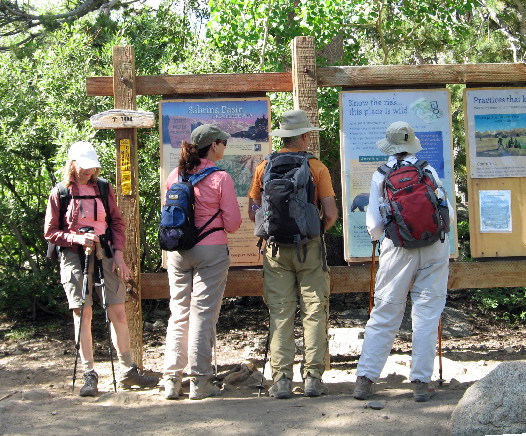
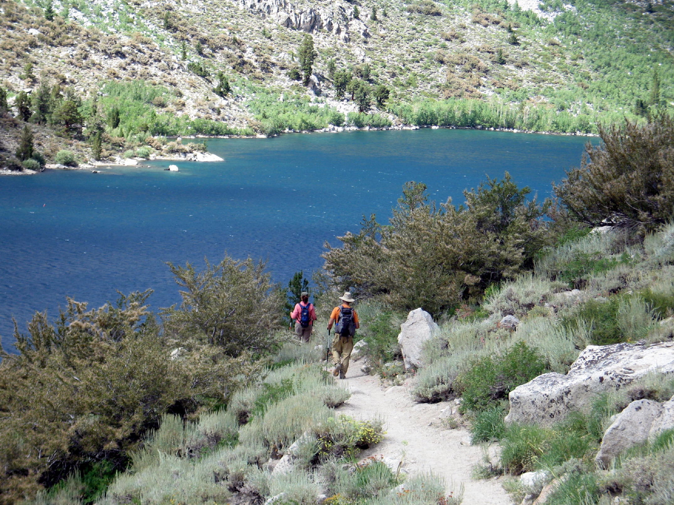
The next day we drove south to Bishop again, heading due west from town to Sabrina Basin.
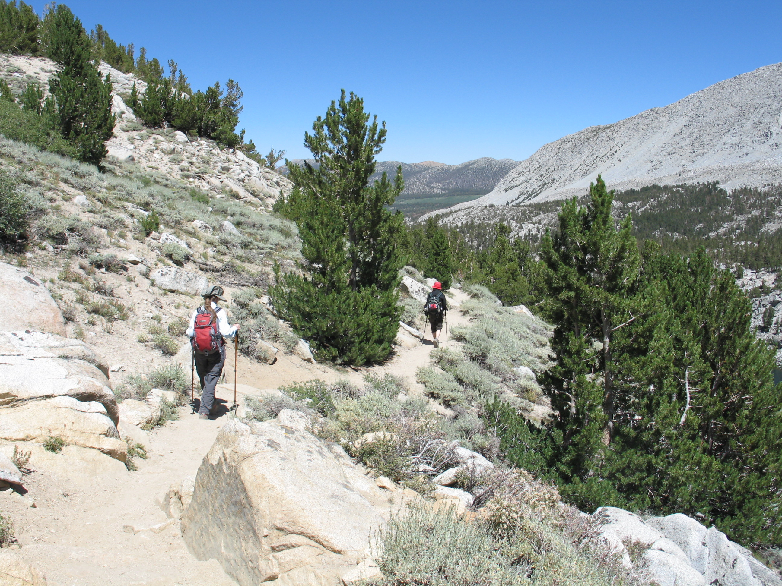
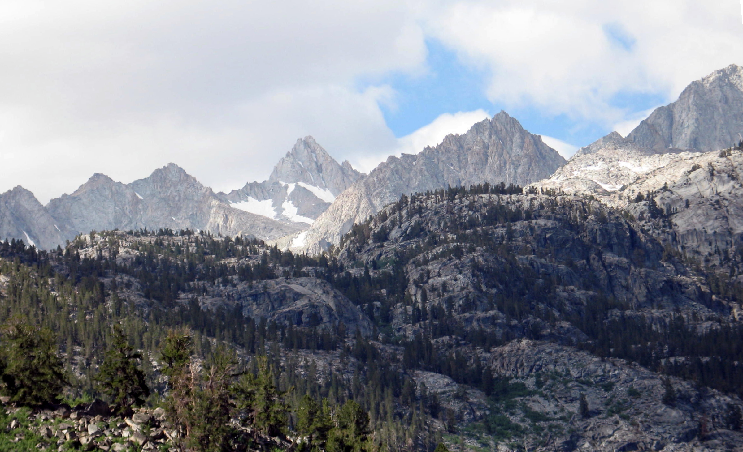
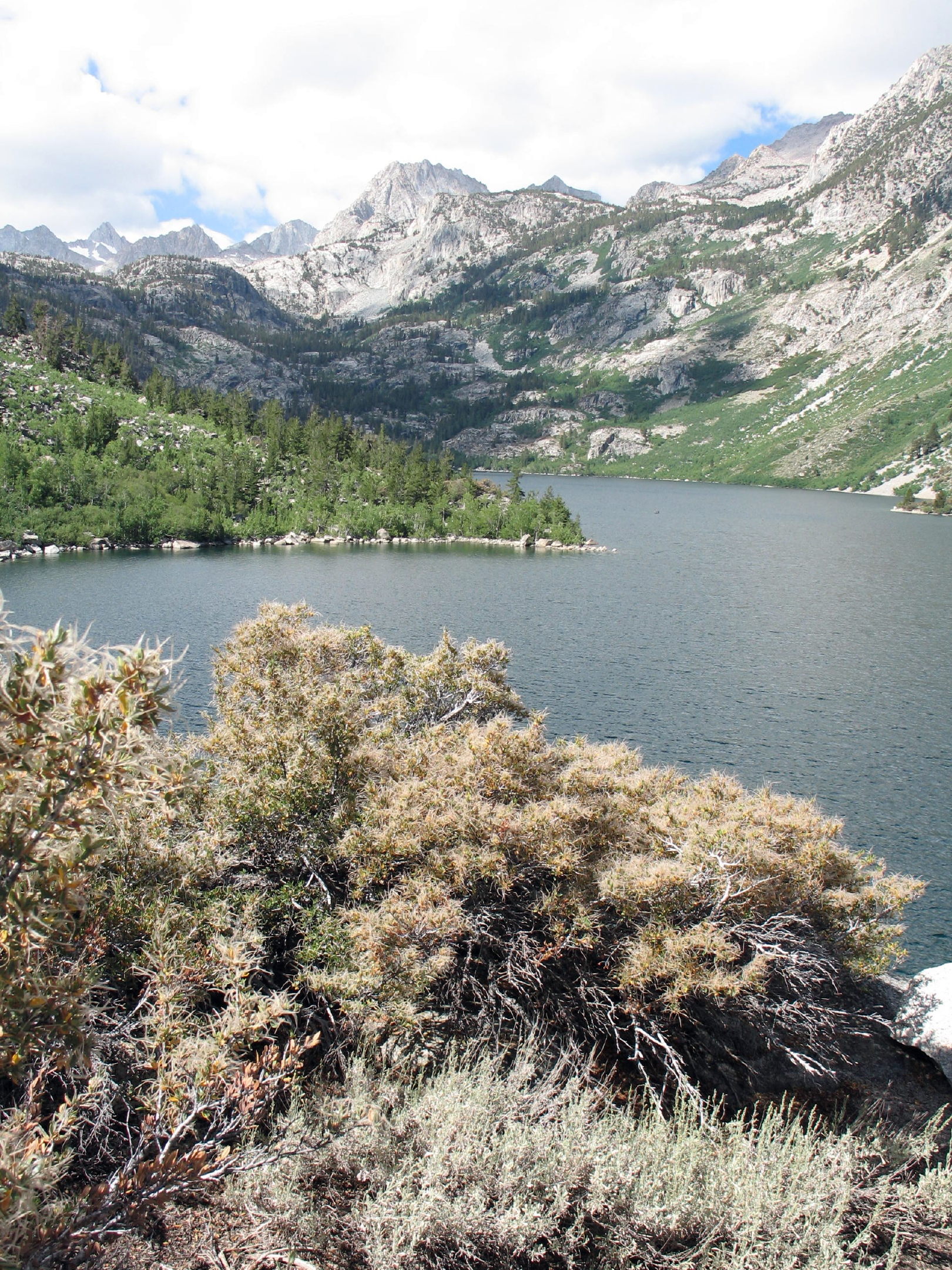
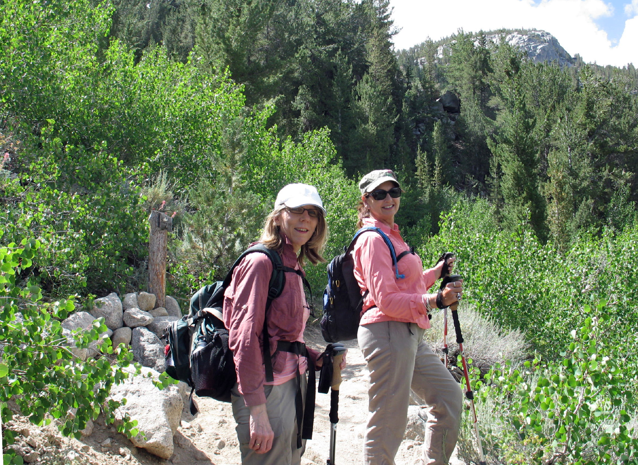
Sabrina Basin - the hike was from Sabrina Lake to Blue Lake, about 5 miles and 1,320 ft. of gain
 |
 |
off to a good start |
 |
mountain mahogany & Lake Sabrina | |
 |
 |
Rich looking content |
 |
||
 |
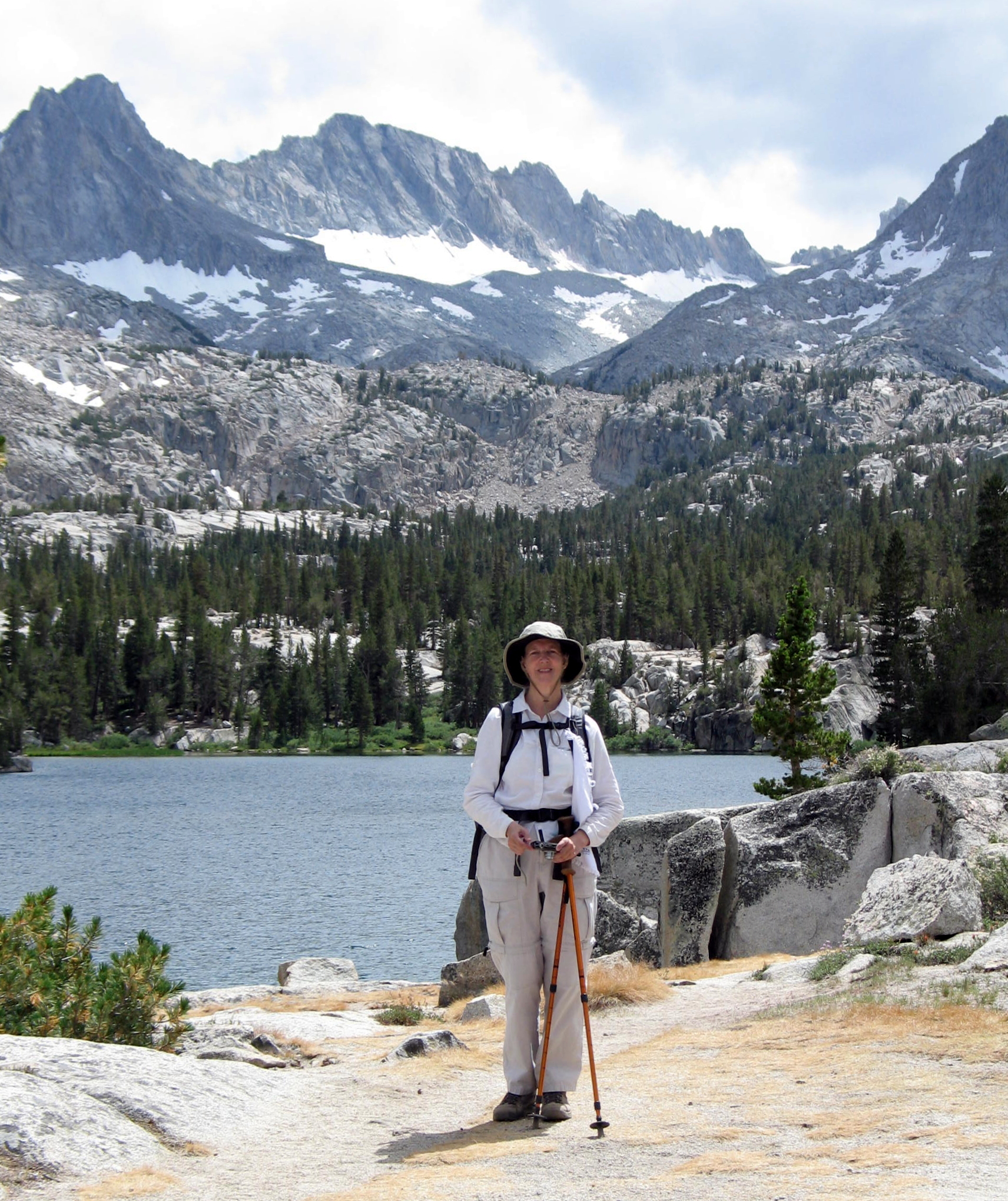
Bonnie |
 |
Blue Lake is up there |
 |
|
 |
first look at spectacular Blue Lake (10,400 ft.) |
 |
suddenly windy |
 |
|
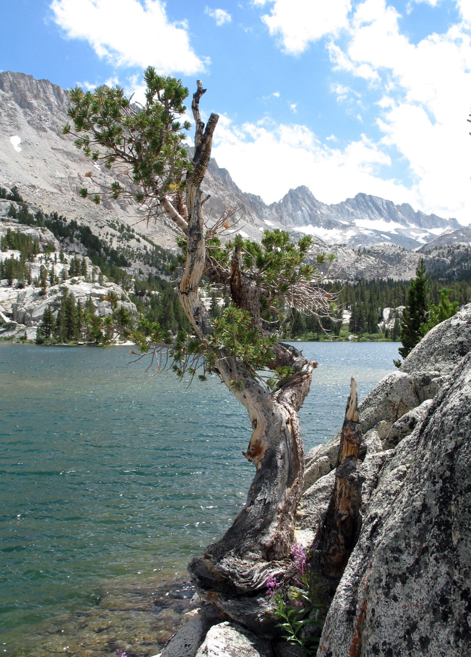 |
High Sierra bonsai style conifer |
 |
Bonnie |
 |
|
 |
the descent |
 |
|||
 |
Sabrina Lake (9,120 ft.) |
 |
 |
see postscript |
note - On the drive north on 395 back to Tom's Place, to the east was another view of White Mountain.
General note - since we passed through Bishop a few times, we had a chance to stop to peruse the outdoor store, or the combo bookstore-coffee shop next door, or the Galen Rowell Gallery, a vast display of large-scale photo landscapes from around the world.
Postscript - About White Mountain - Rich, Jean & I (from this trip) can all claim that we climbed it once, in 2006. At 14,252 ft., it was a long and scenic hike, a memorable day out, so I'm always glad to see that mountain.
return to eastern sierra index
return to index