Eastern Sierra hikes - 2019
return to eastern sierra index
return to index
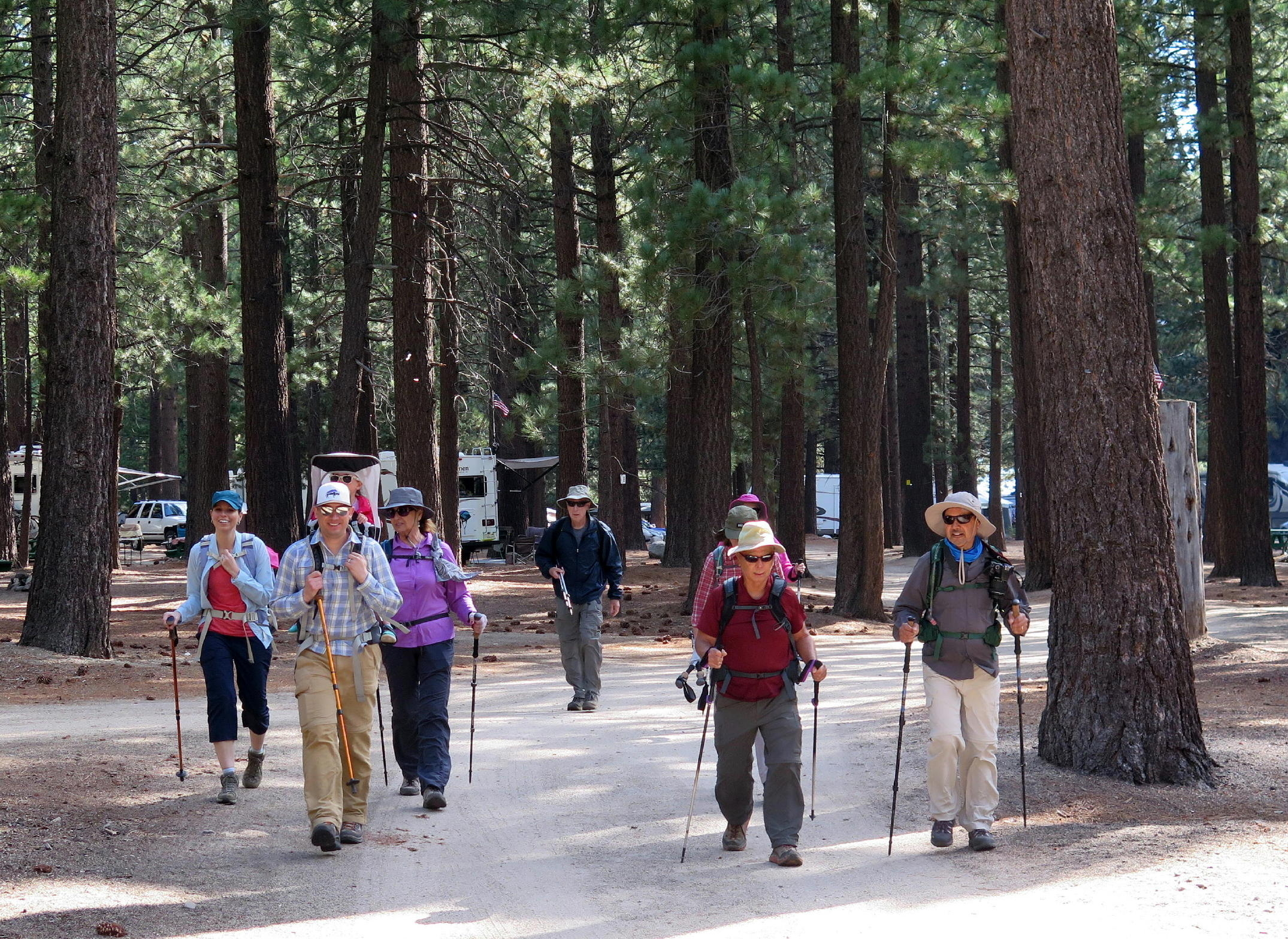
In September, 2019, a group of 15 of us stayed at the Twin Lakes Resort, near Bridgeport. There's a group photo on the 2nd hike.
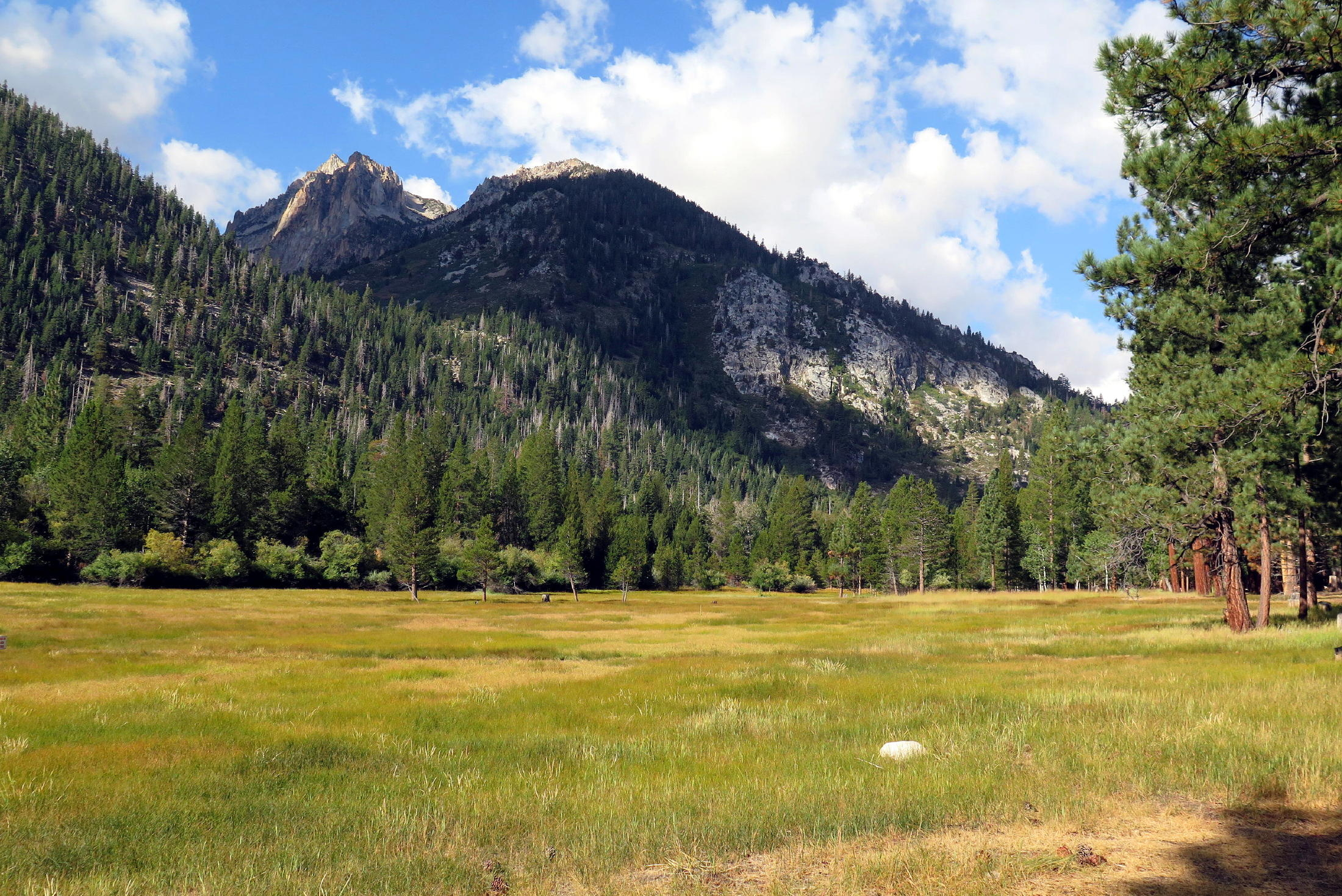
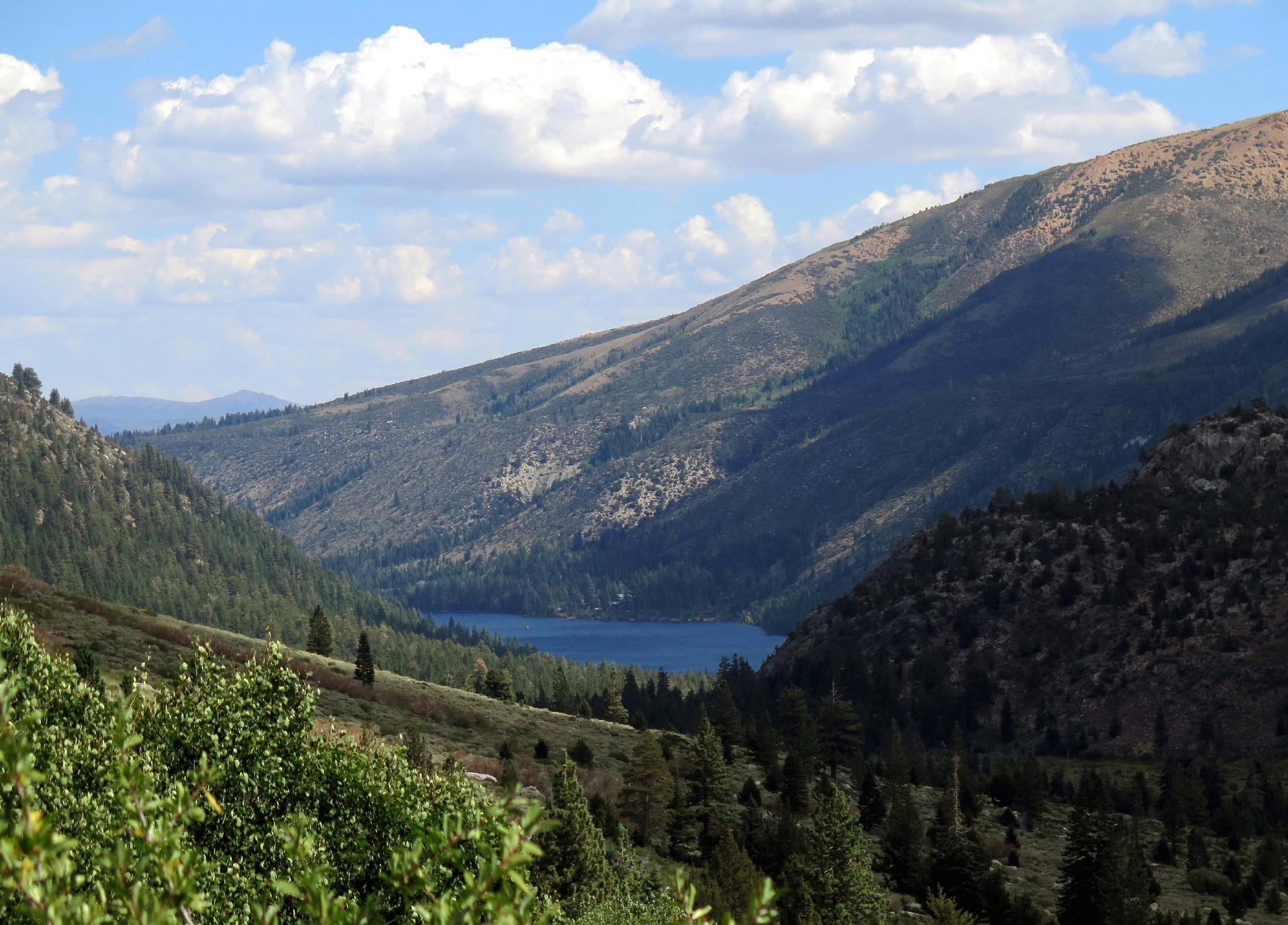
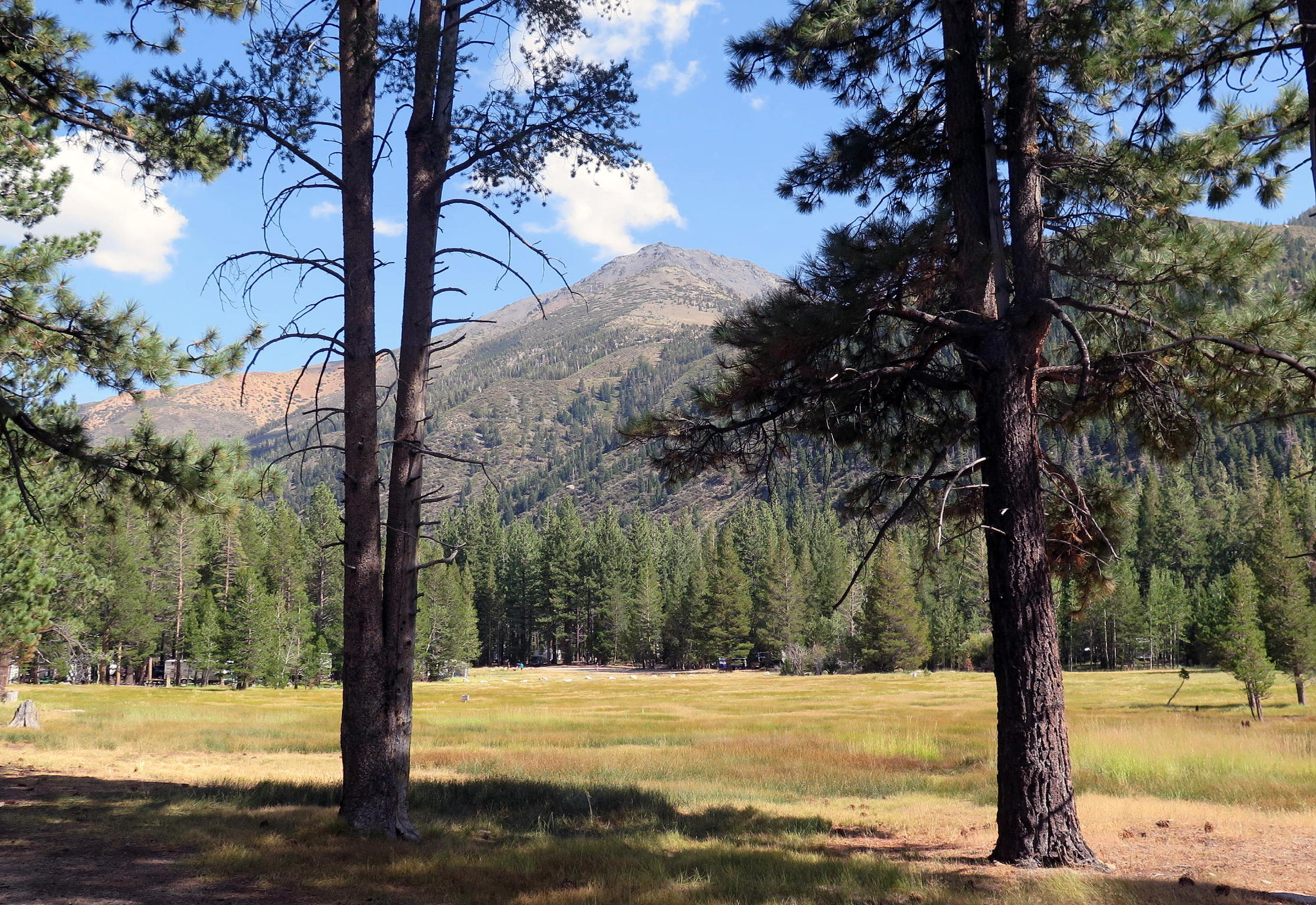
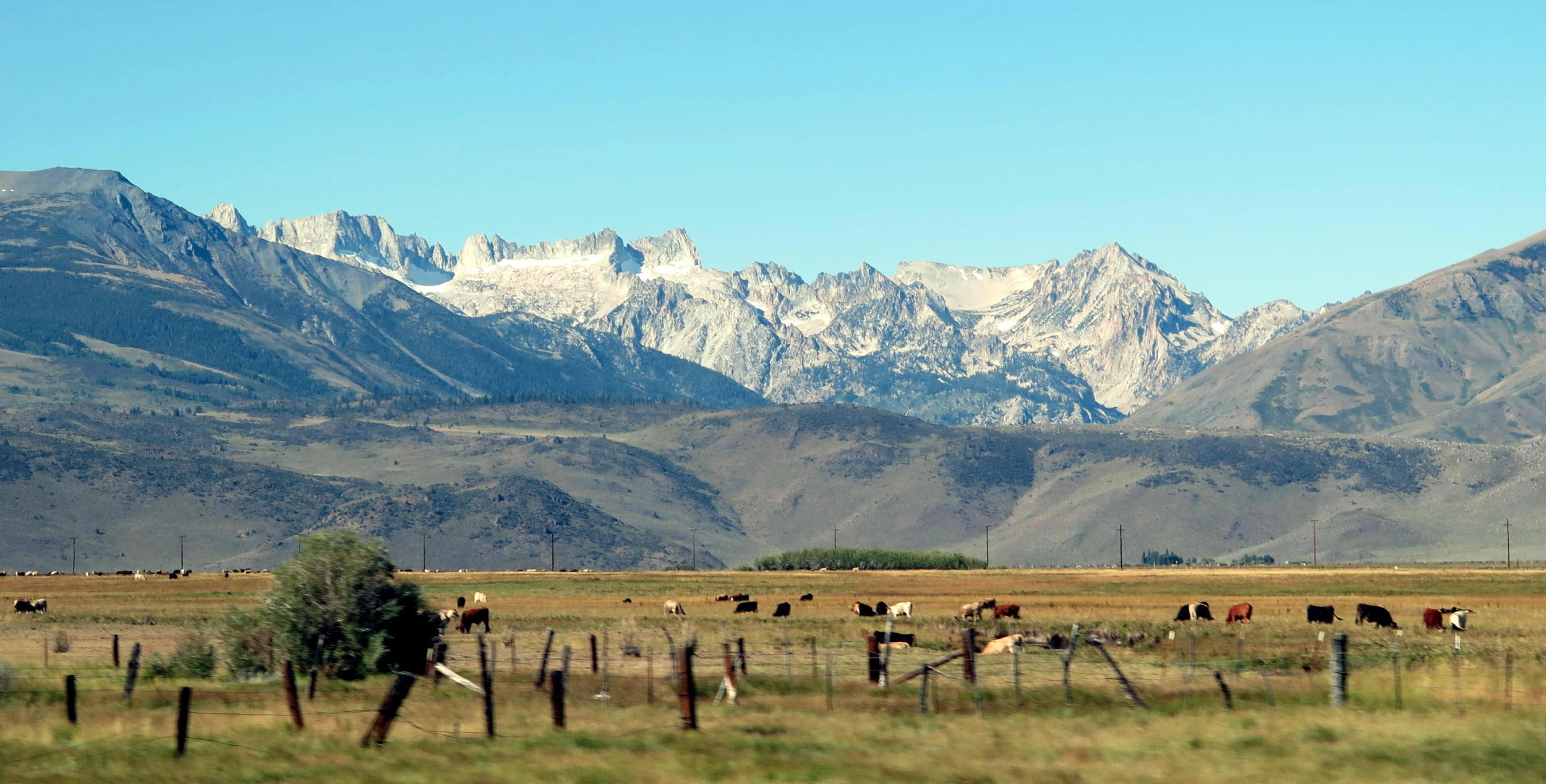
Twin Lakes at 7,081 ft., and Sierra peaks at about 12,300 ft.
|
|
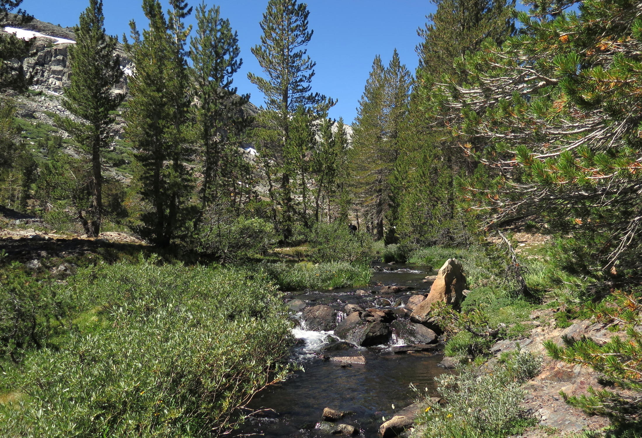
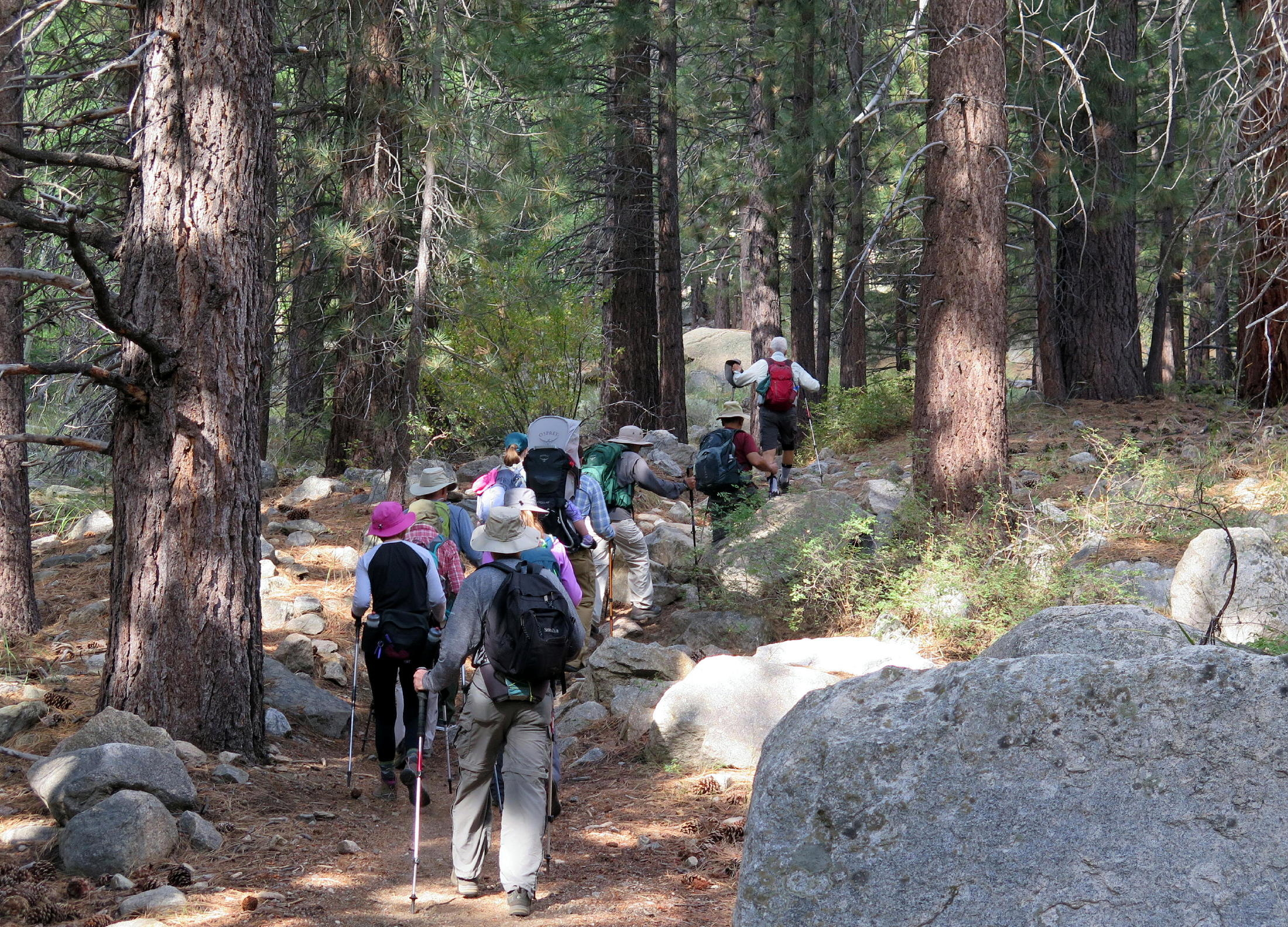
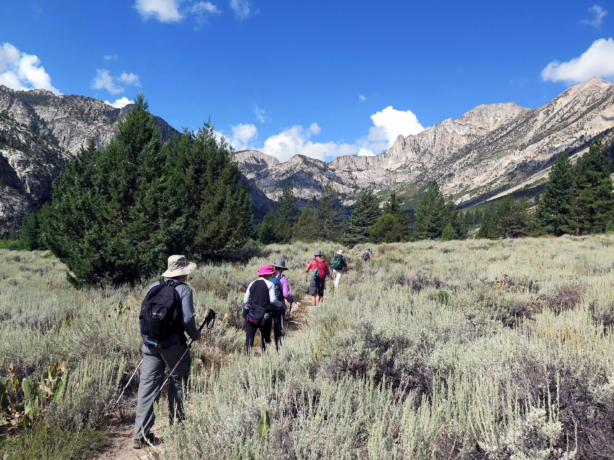
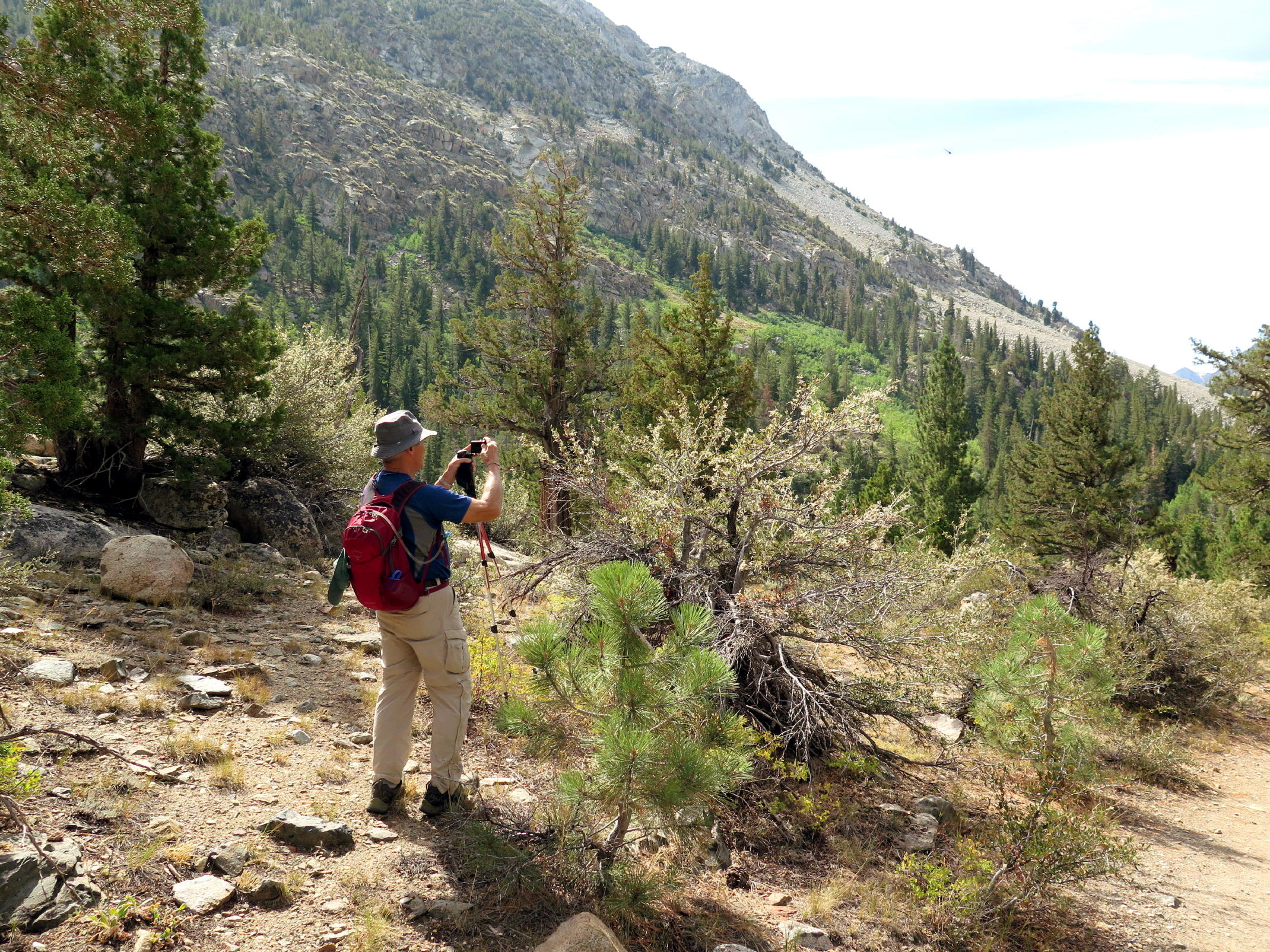
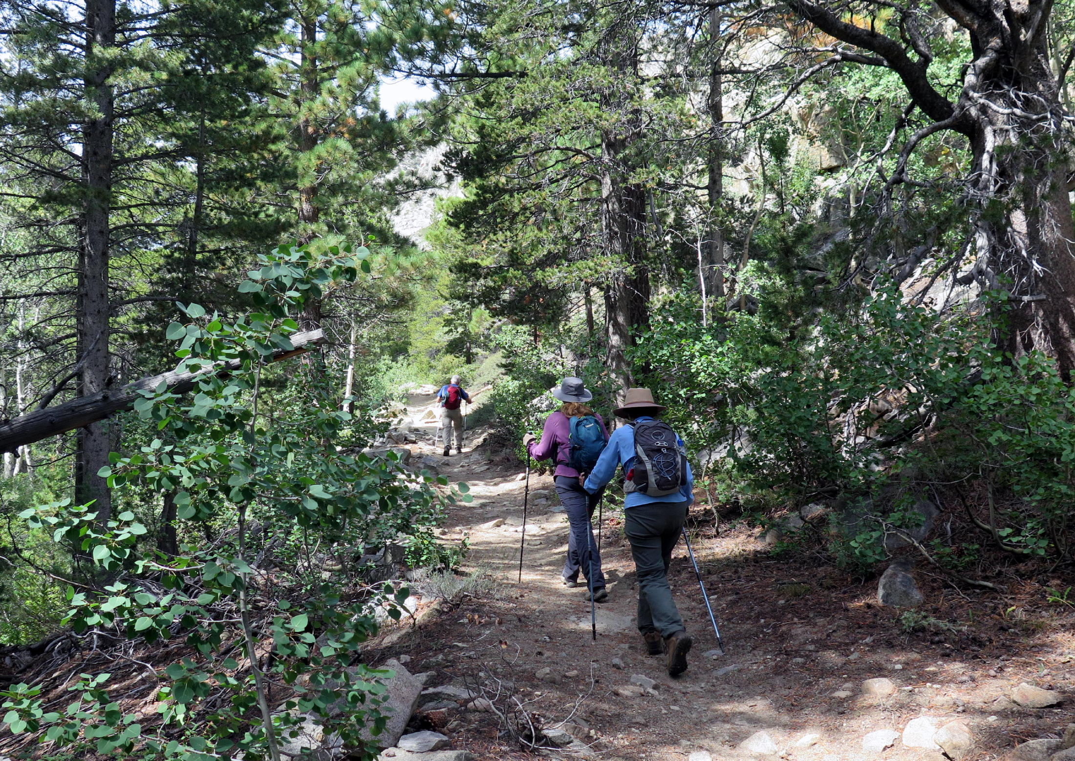
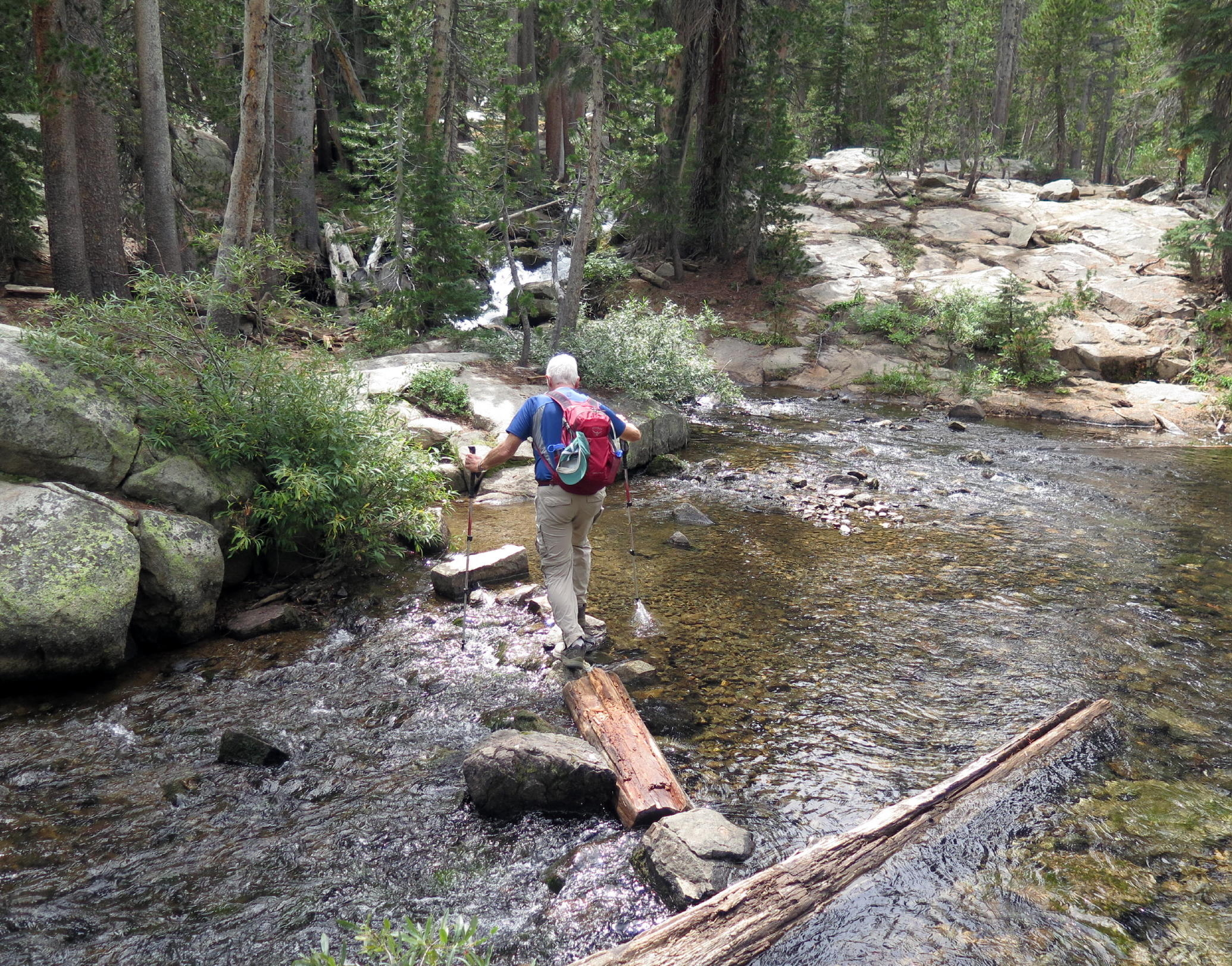
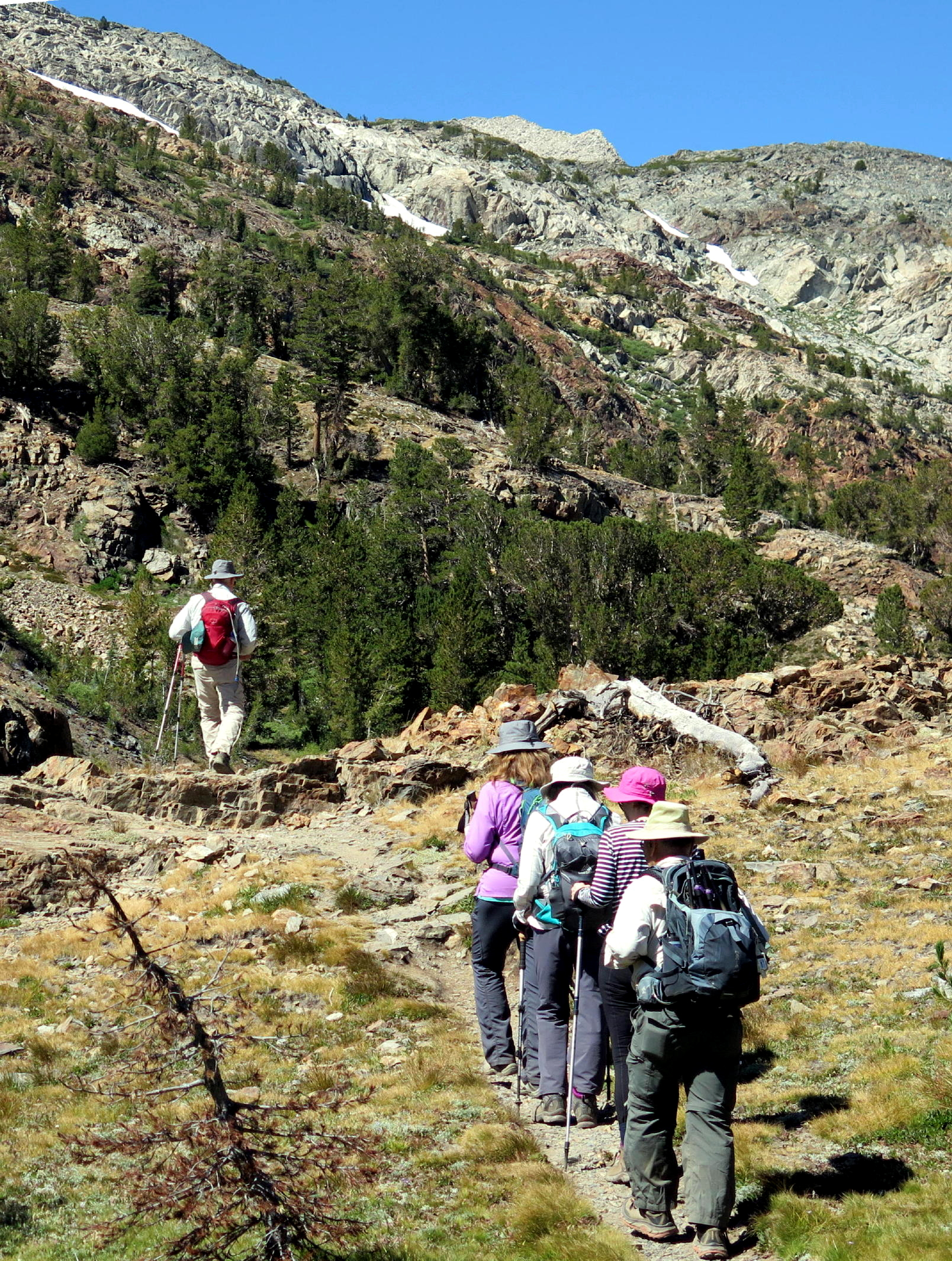
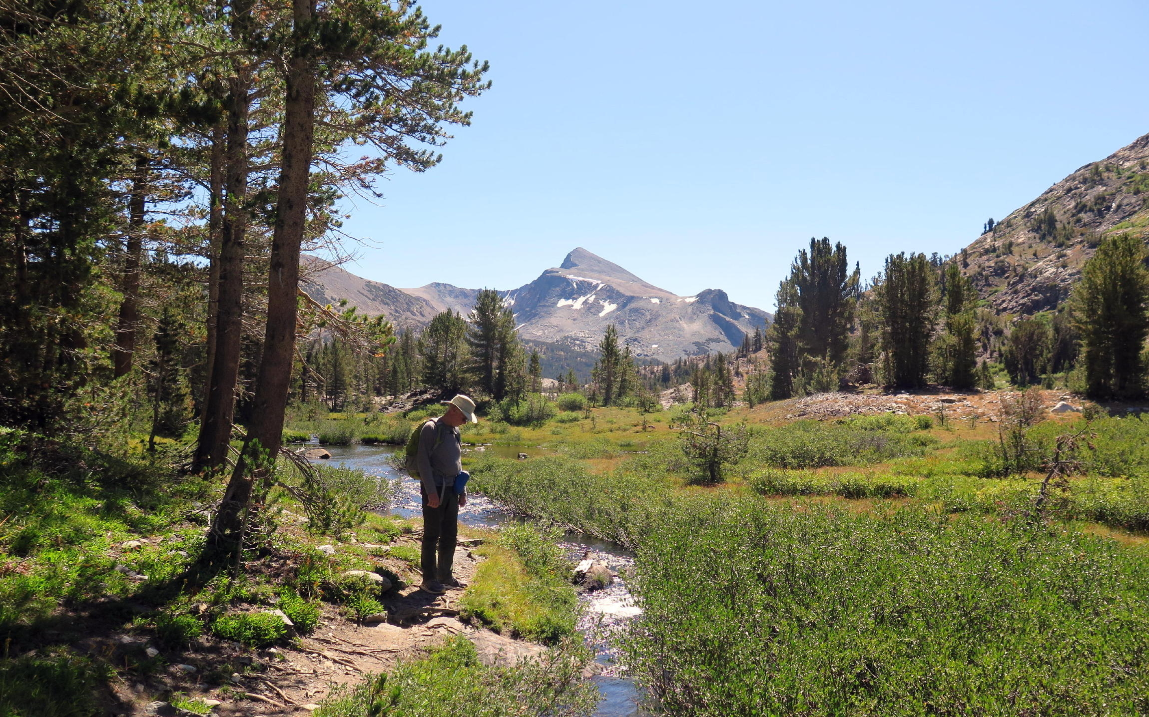
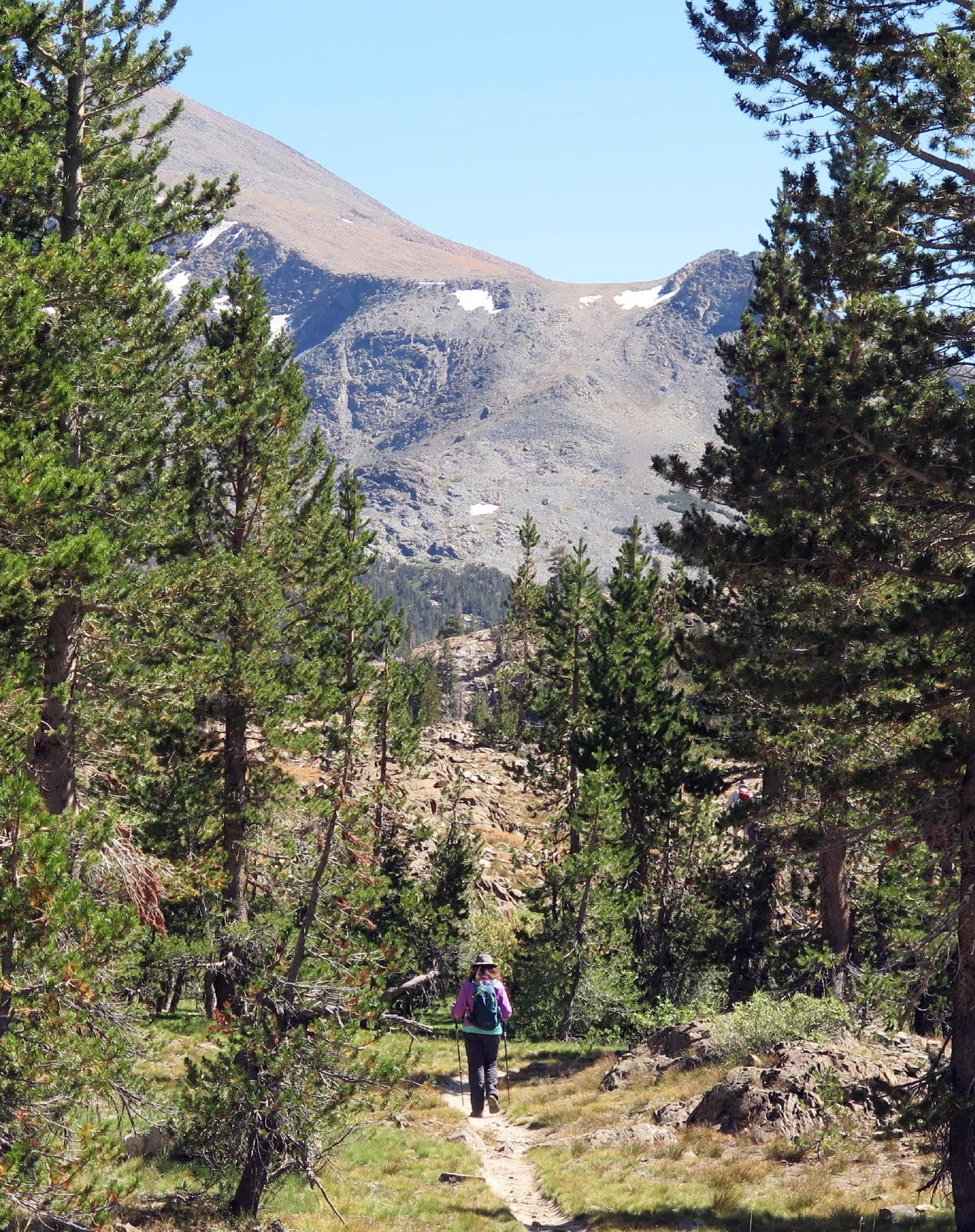
Our first hike was to scenic Barney Lake, in the Hoover Wilderness. The trailhead, at Annette's Mono Village, was a mile's drive from the cabins.
note - on a pc or laptop you can zoom in & and out, but not on a smartphone.
 |
heading out |
 |
the meadow |
 |
|
 |
northward bound |
 |
looking back |
 |
|
 |
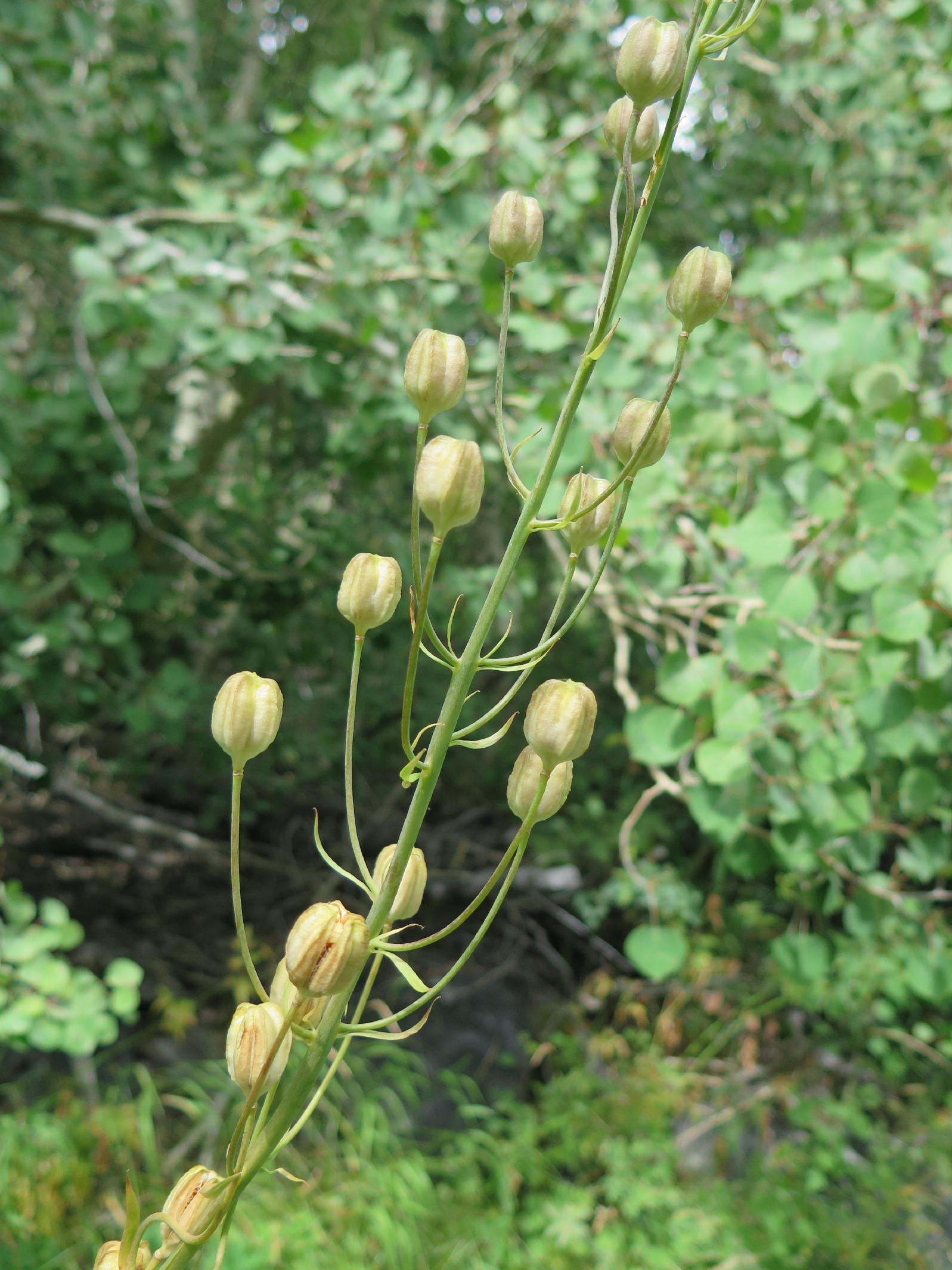
late season paintbrush |
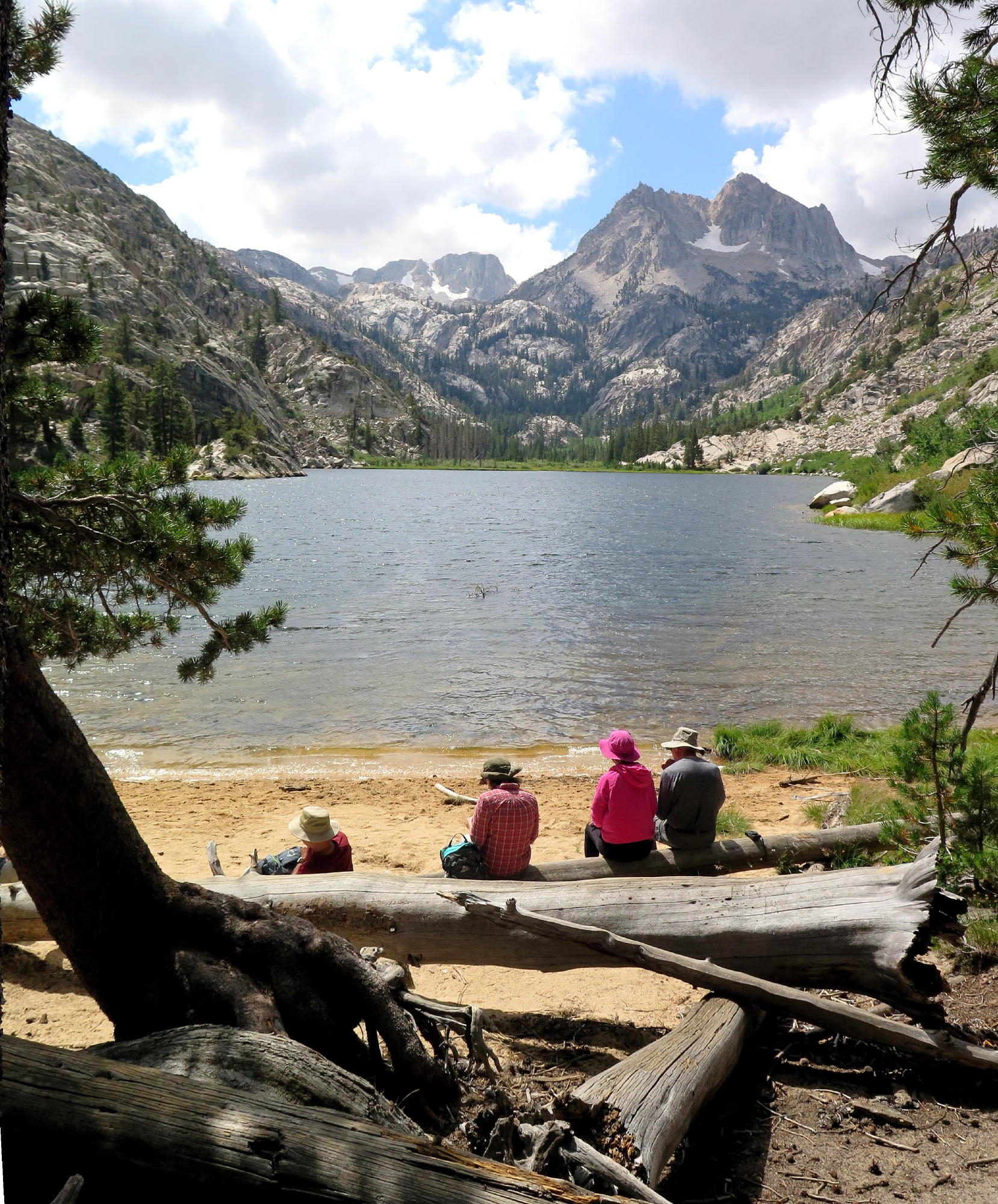 |
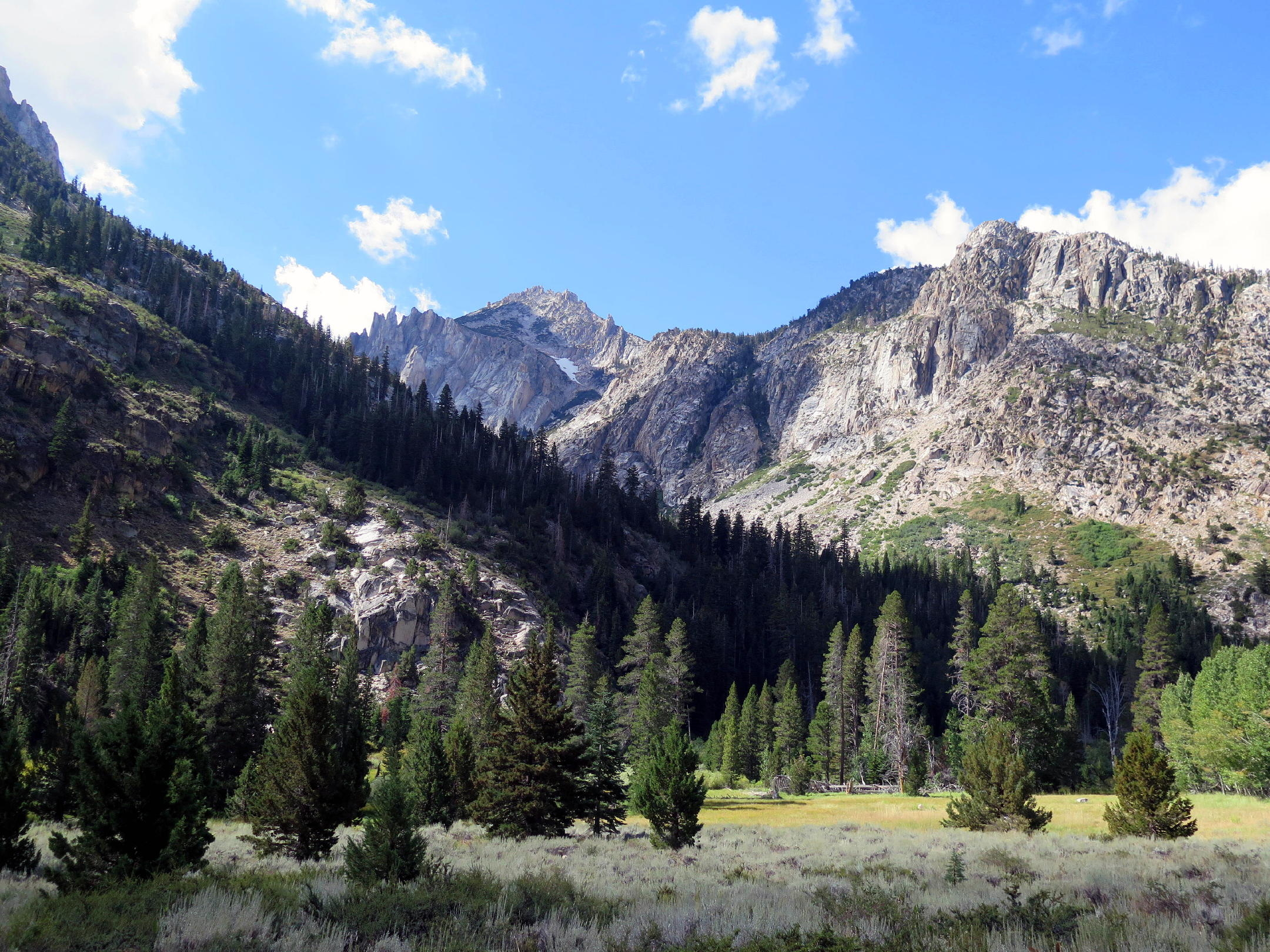
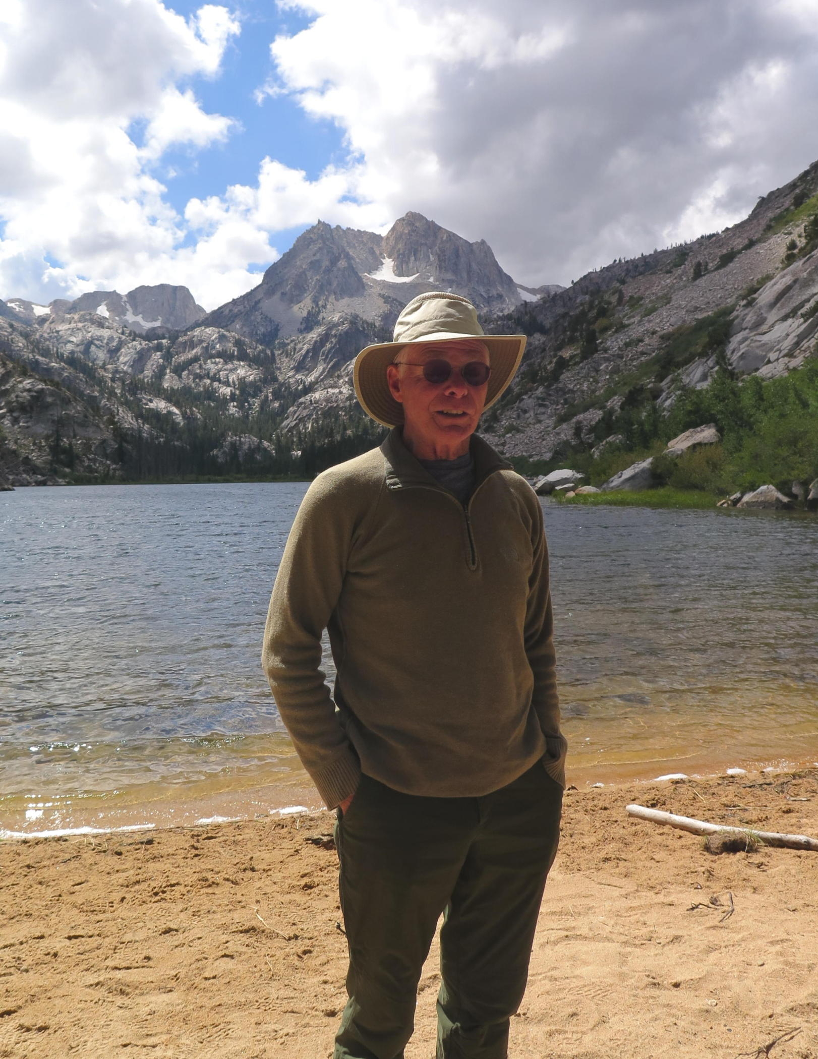
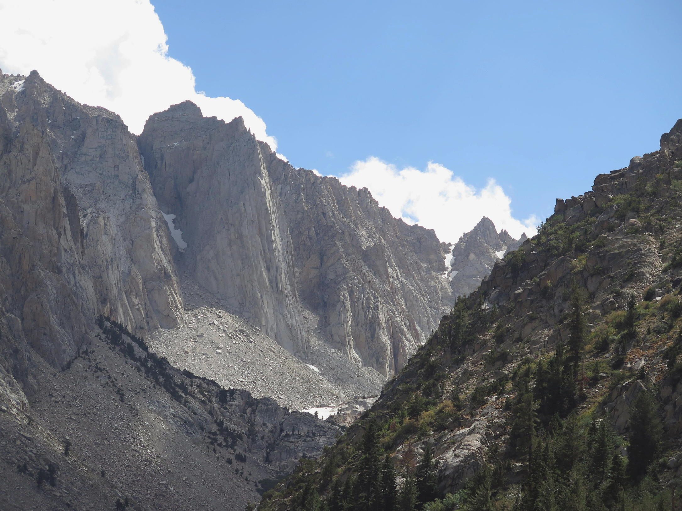
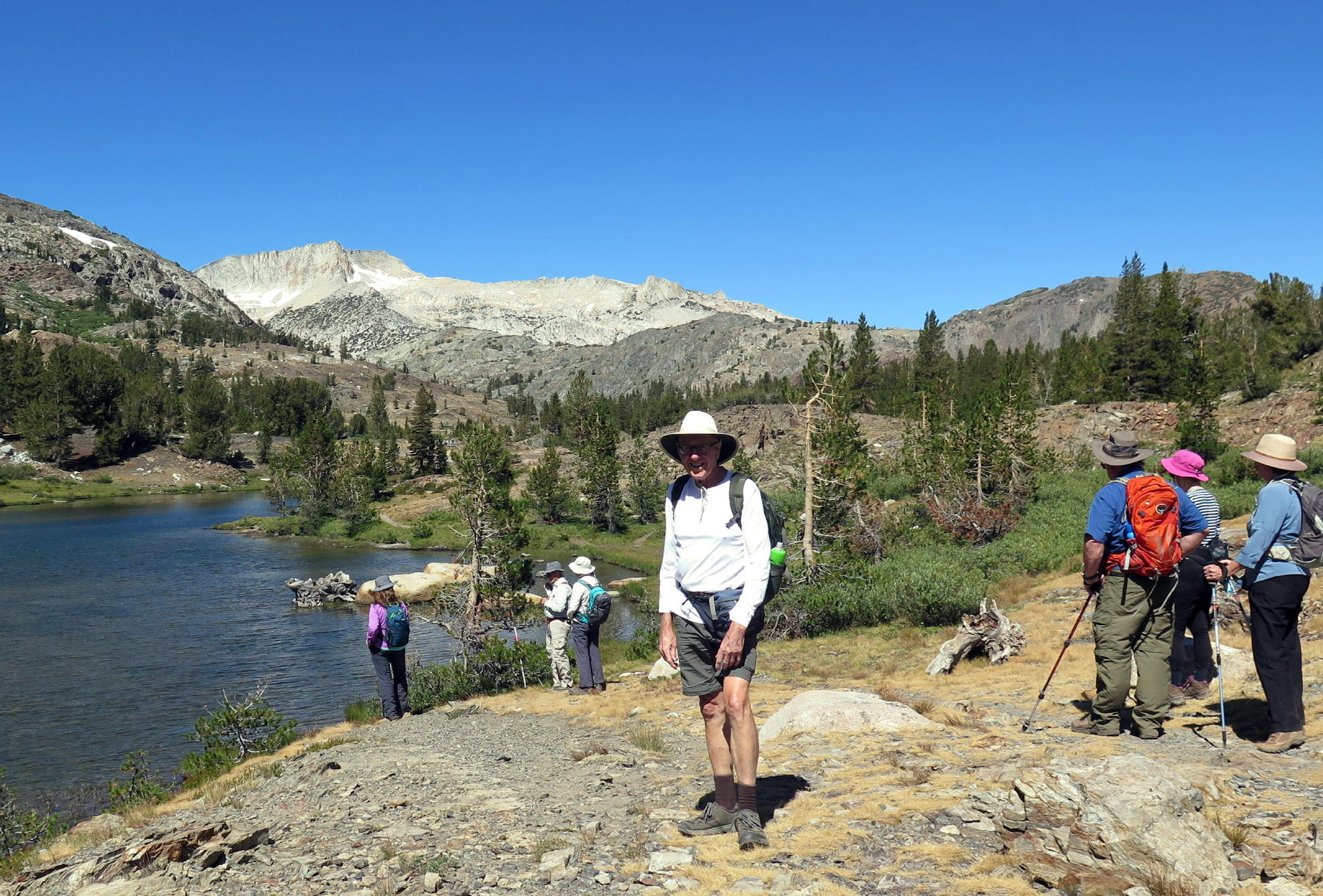
first look at Barney Lake at 8,340 ft. |
 |
lunch view |
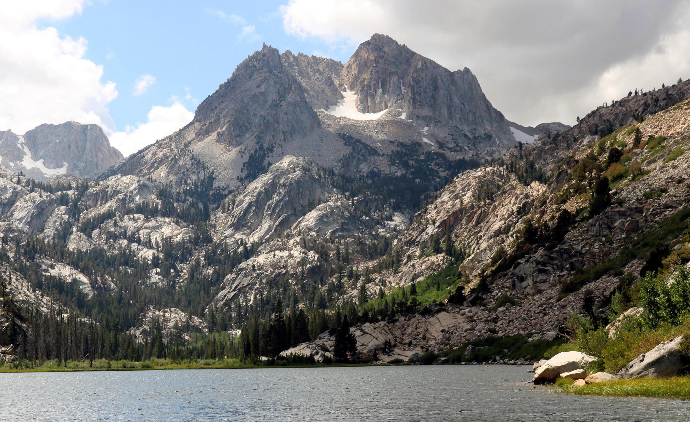 |
Cirque Mountain at 10,555 ft. |
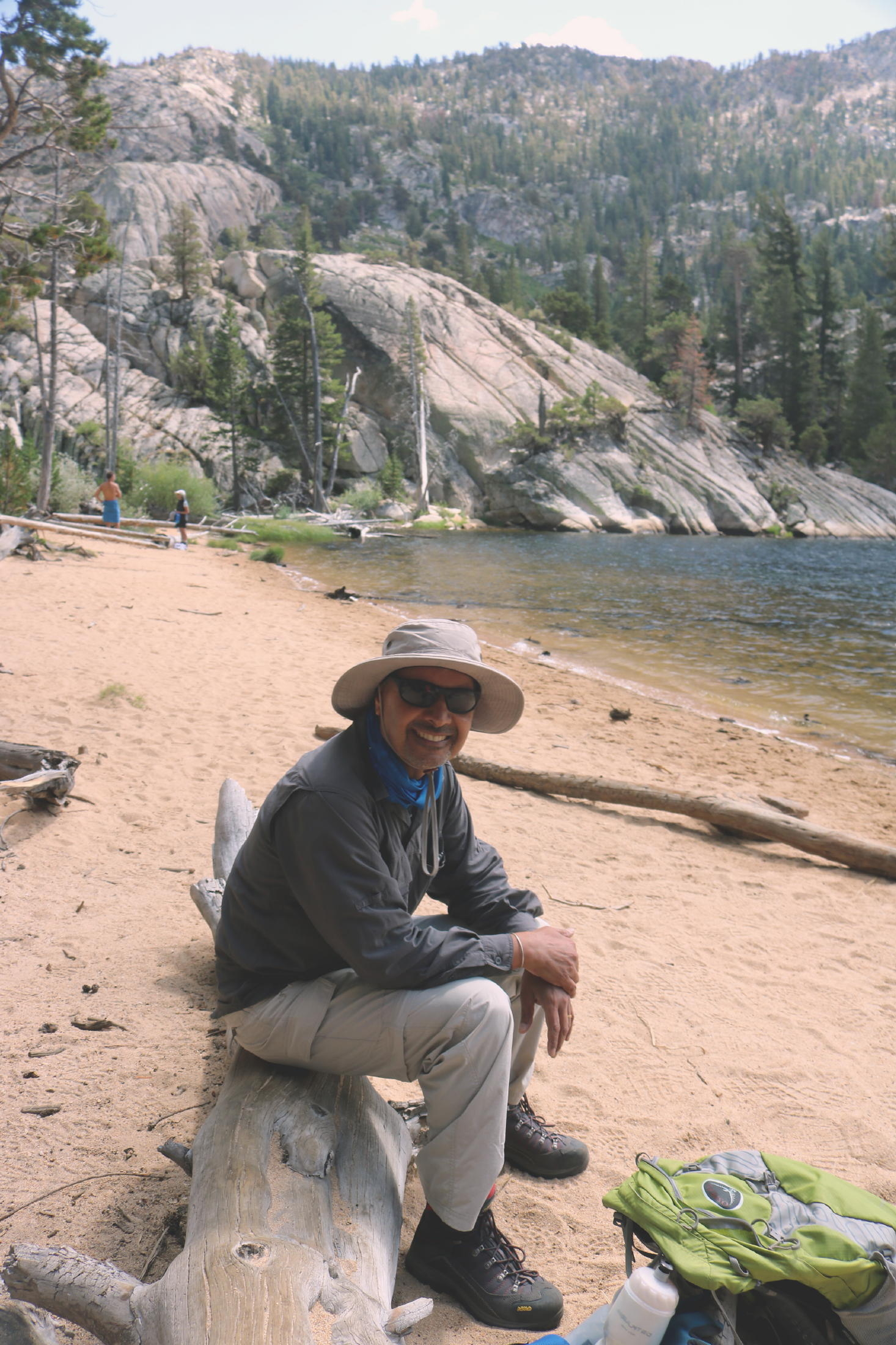 |
Surjit |
 |
|
 |
Patrick & Elise |
 |
Dick F. |
 |
Rich |
 |
Julie & Rick |
 |
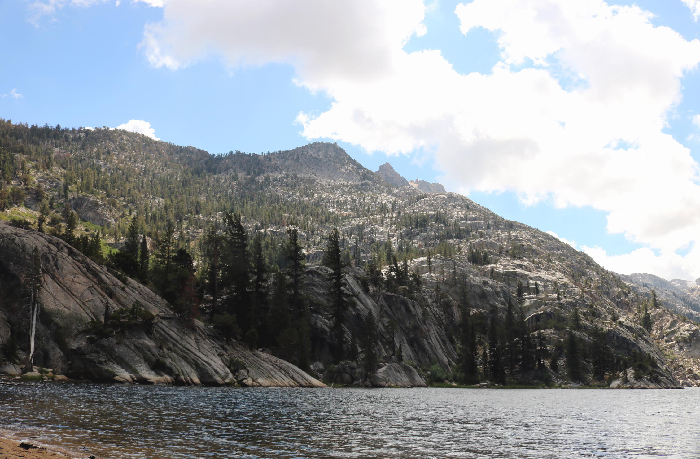
< back downhill to upper Twin Lakes > |
 |
|
 |
rock garden |
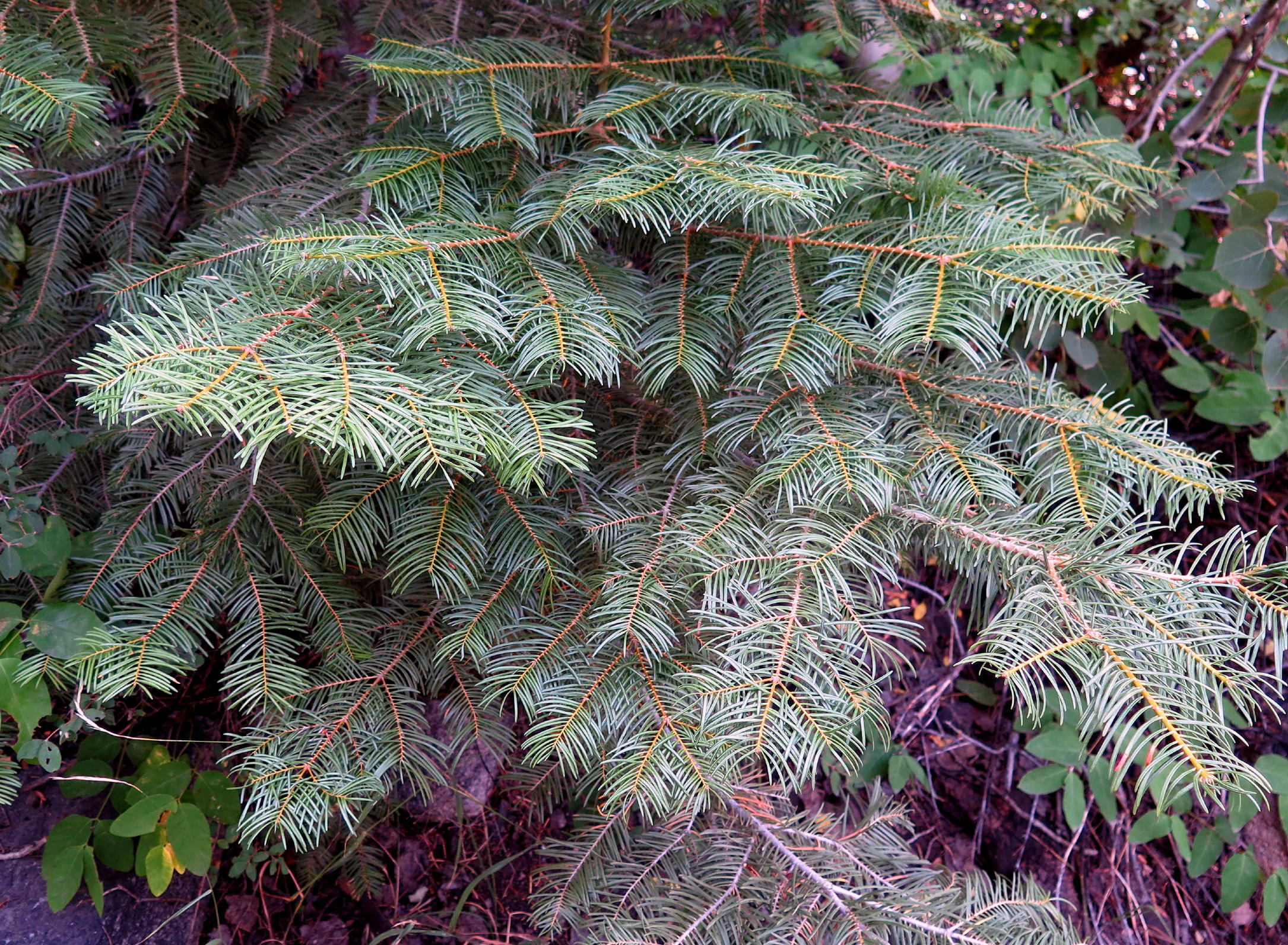 |
White fir |
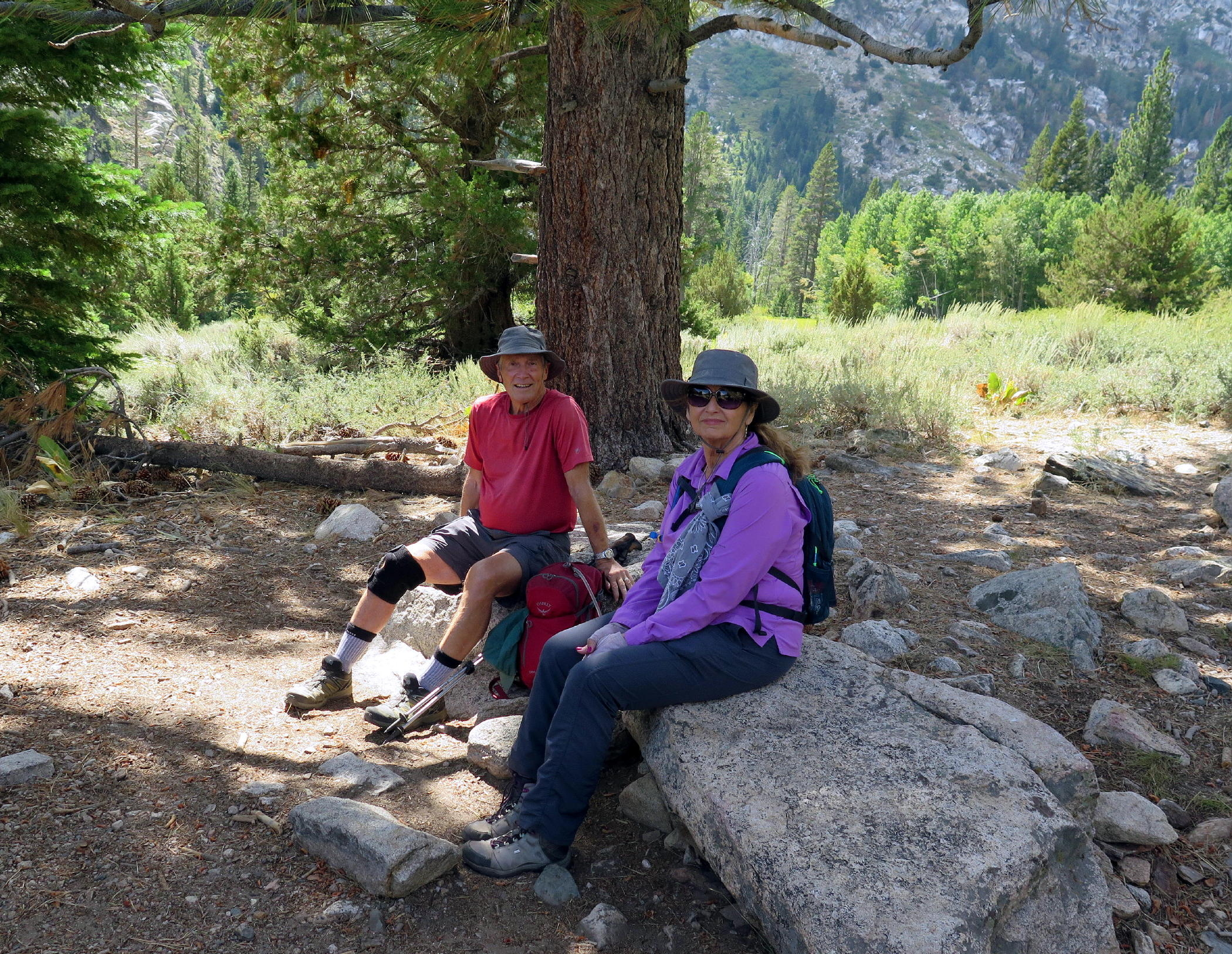 |
Rich & Linda |
 |
 |
nearly back |
 |
note - this walk was 8.2 miles with 1,207 ft. of gain, a good acclimation day.
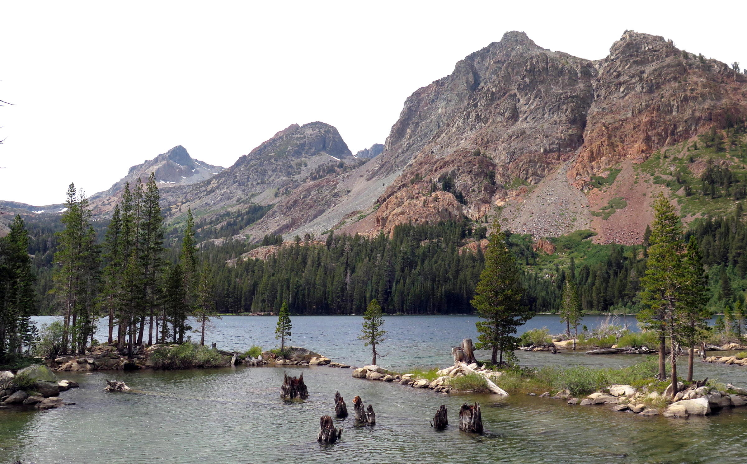
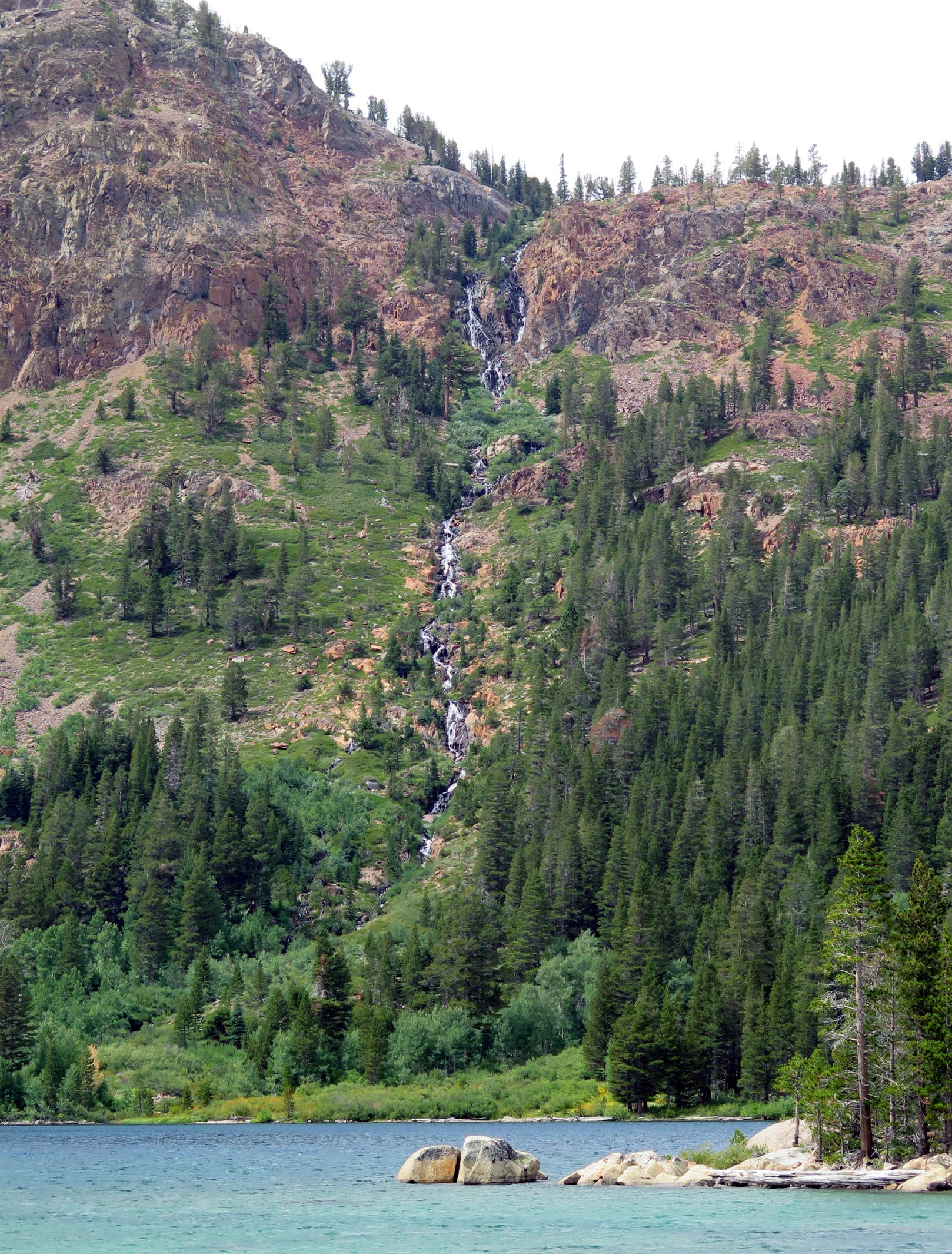
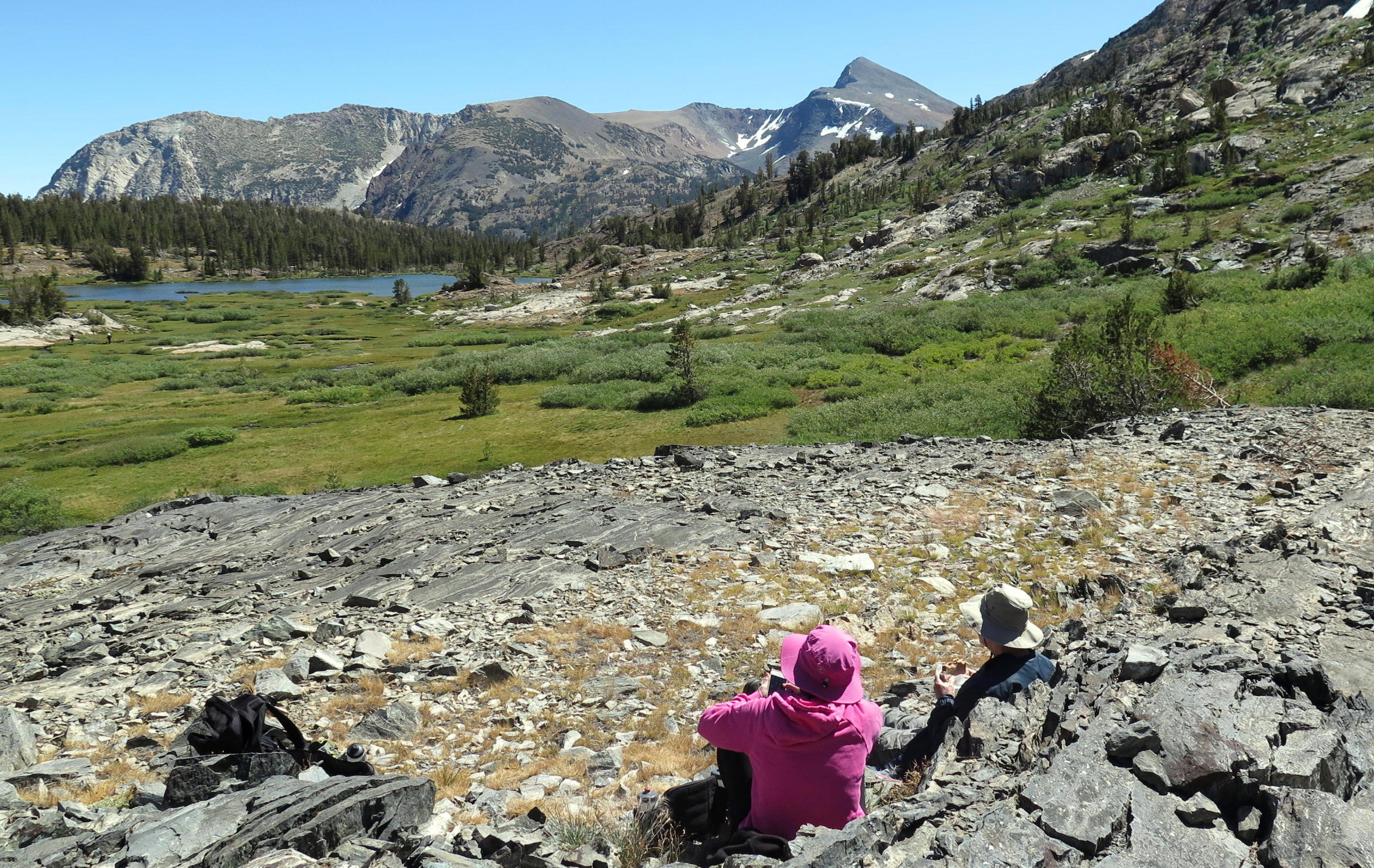
The second walk was to Green Lakes, located a short drive south on 395 from Bridgeport, near the Bodie turn off.
 |
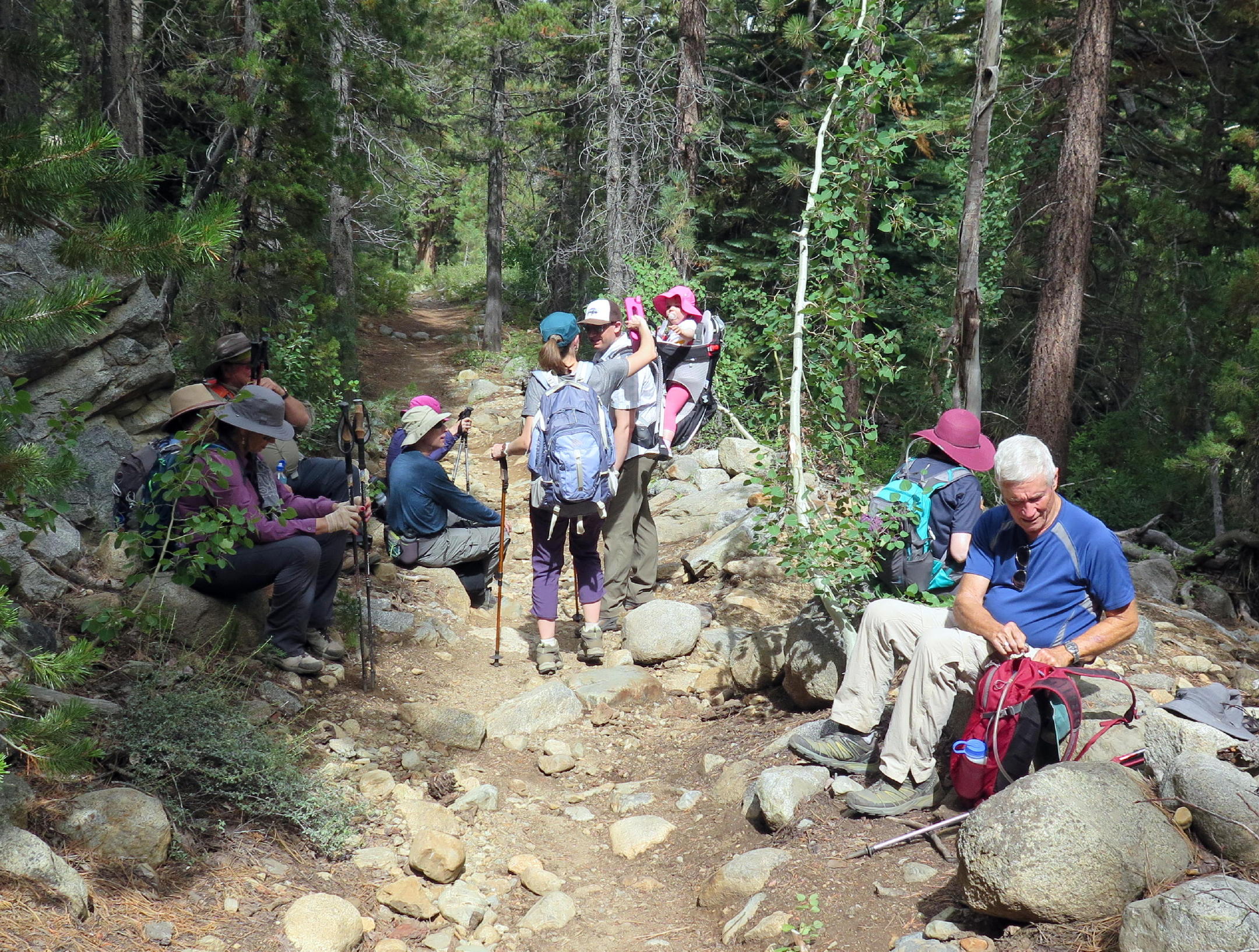
group photo, taken by Geno |
 |
John and Rich |
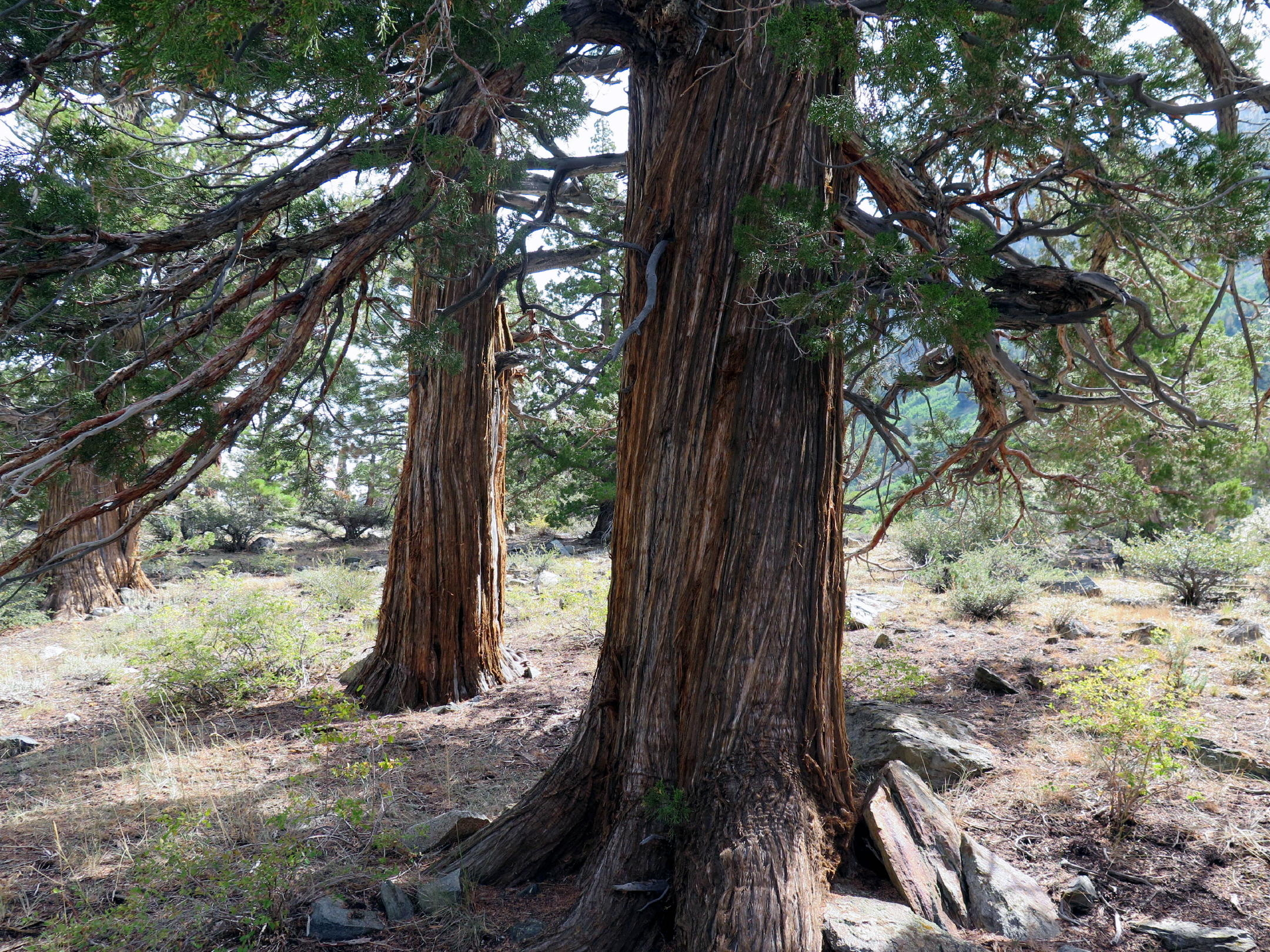 |
Sierra juniper |
 |
Rich & mountain mahogany |
 |
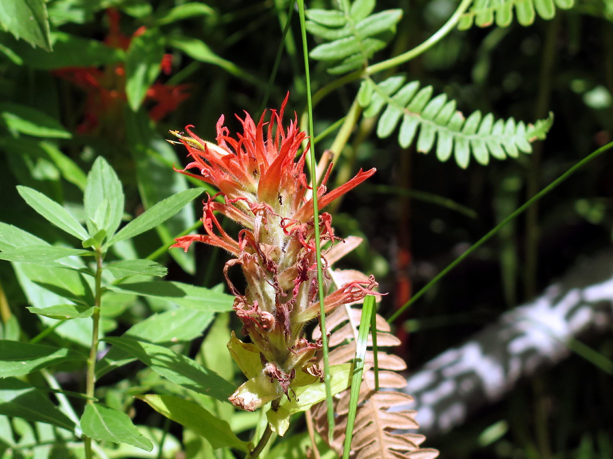
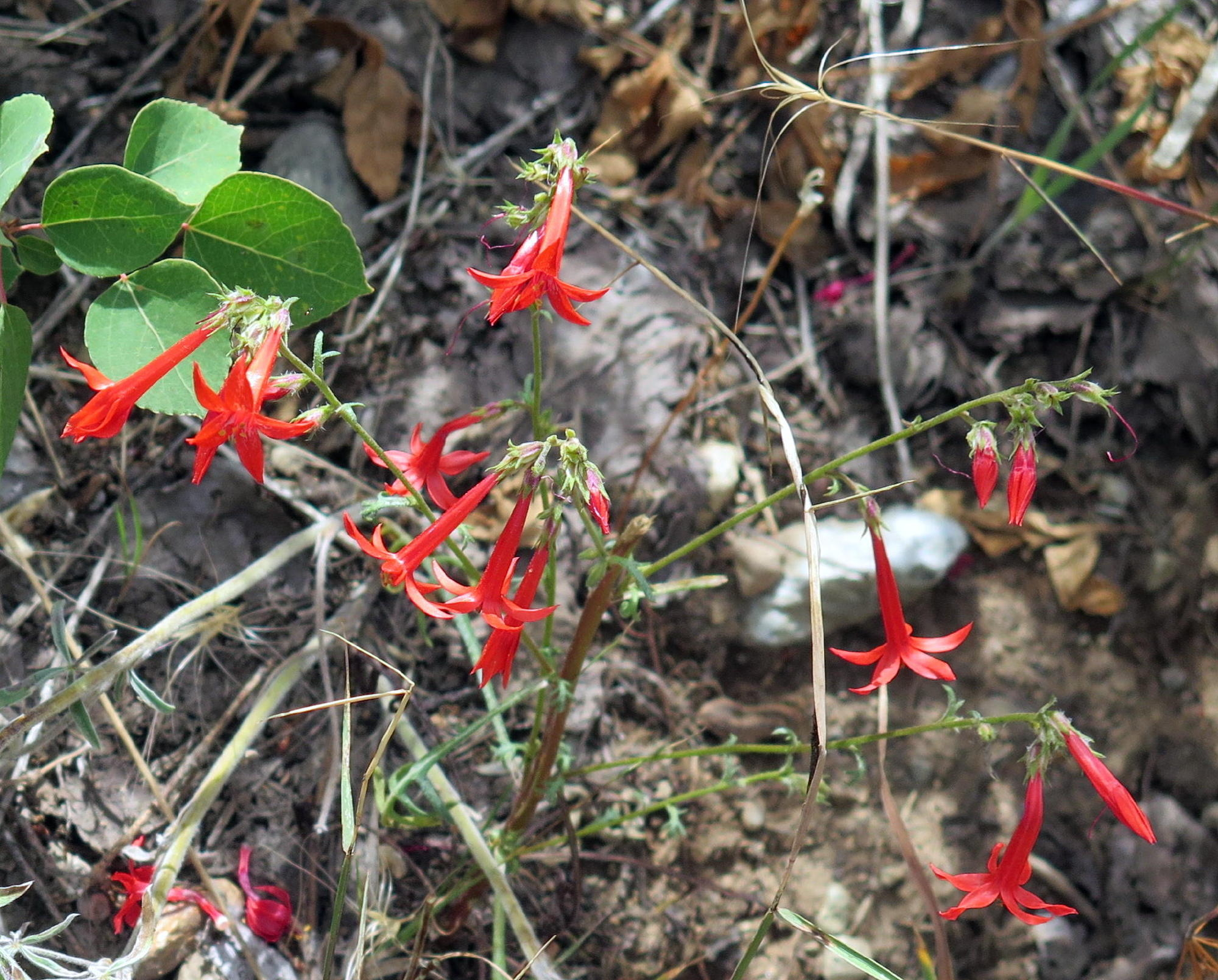
scarlet gilia |
 |
|
 |
 |
 |
Rich leading the way | ||
 |
lunch spot (see note) |
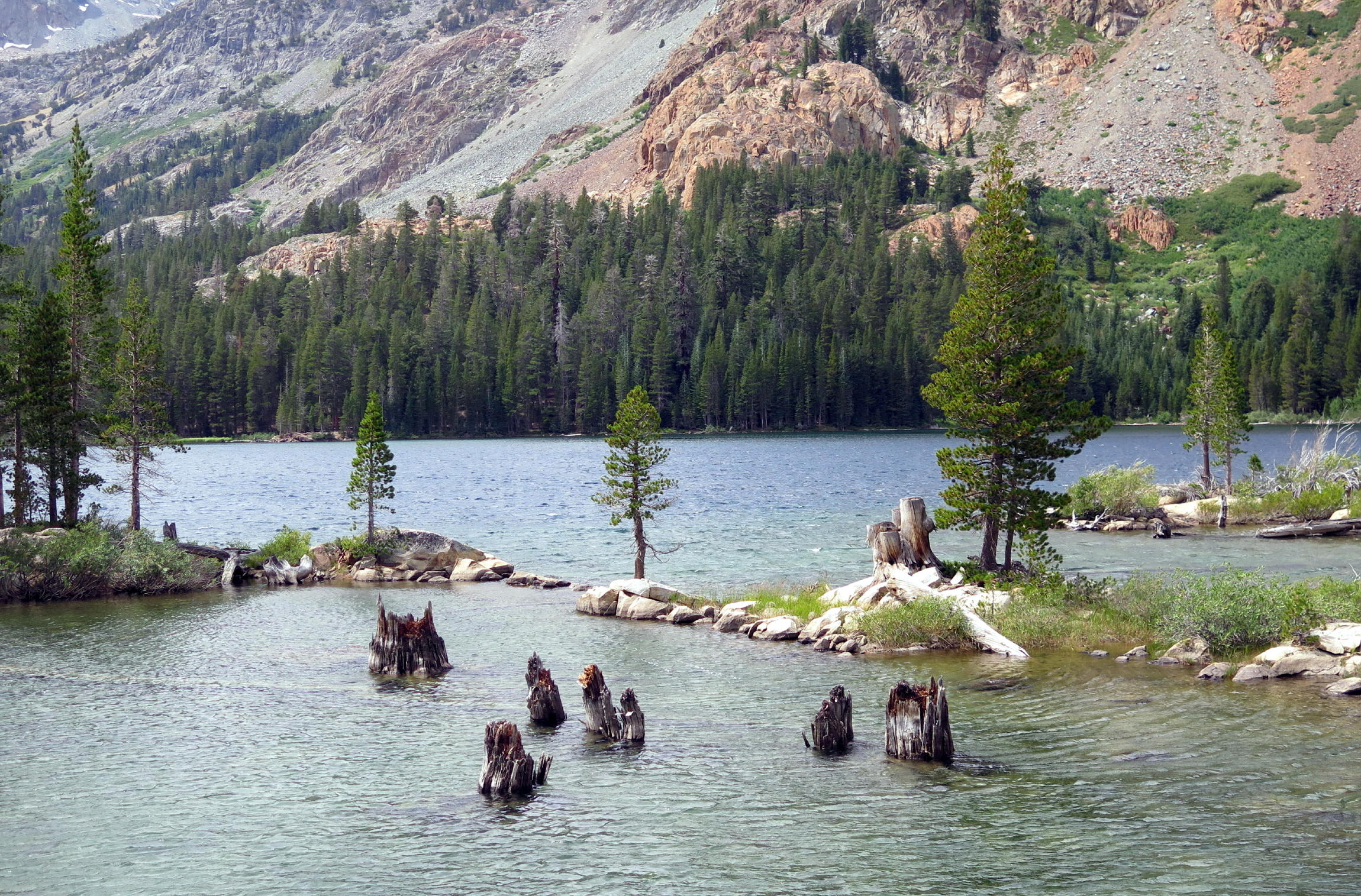 |
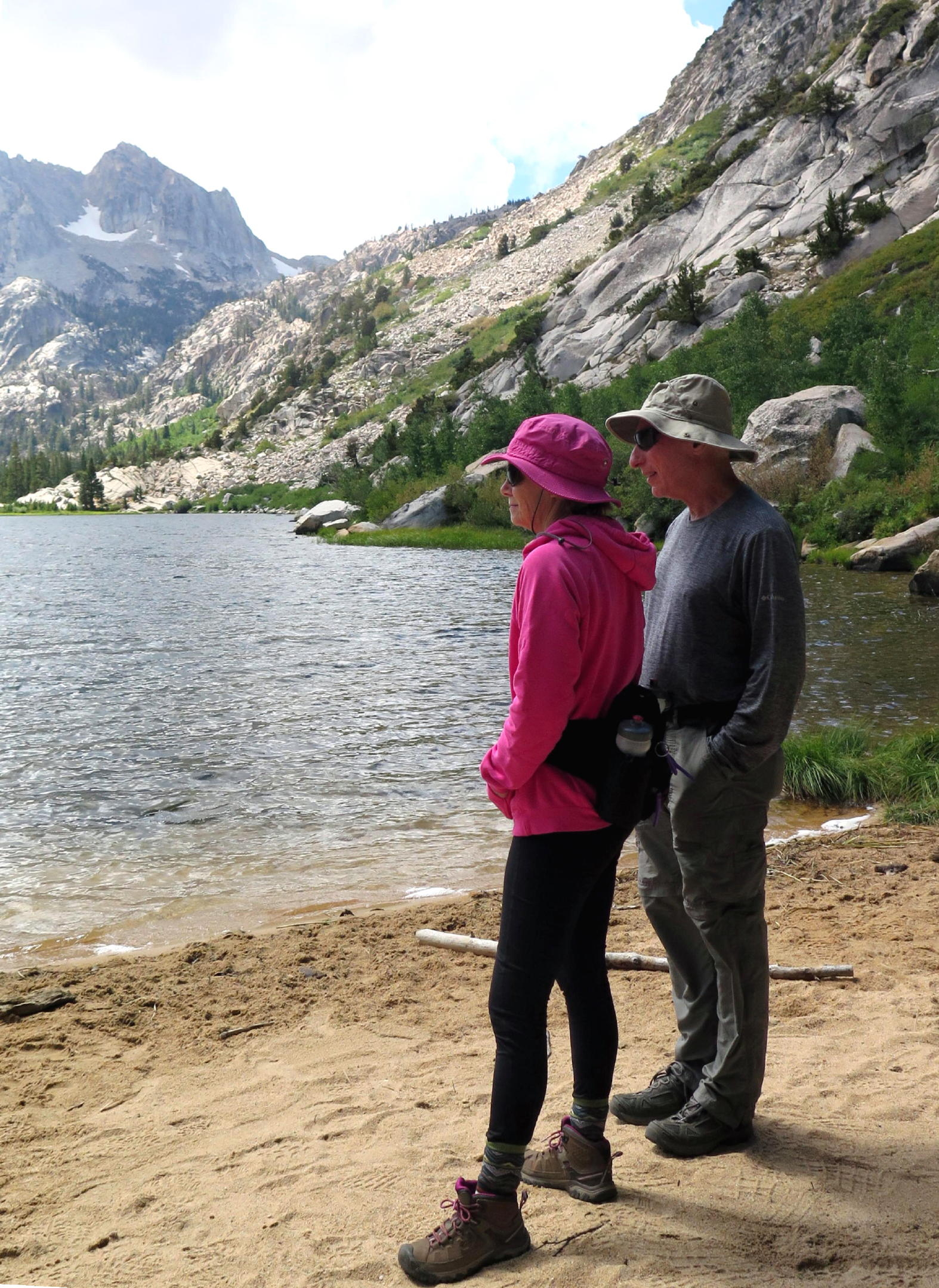
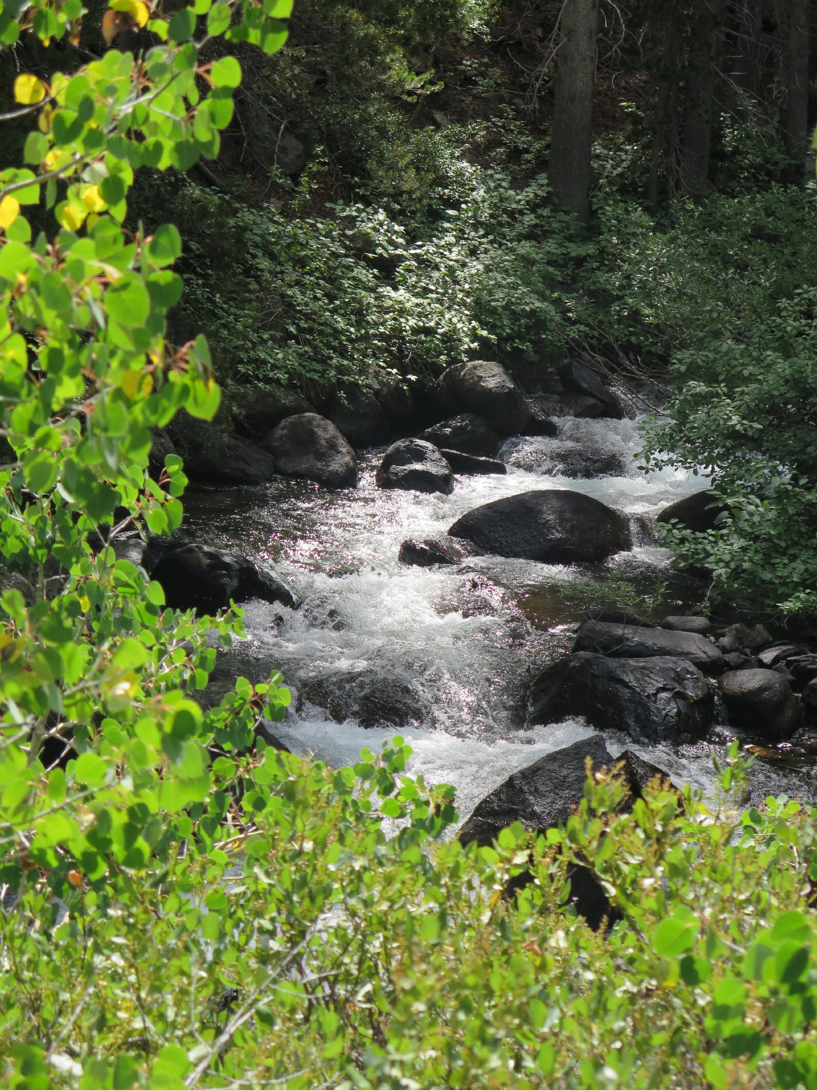
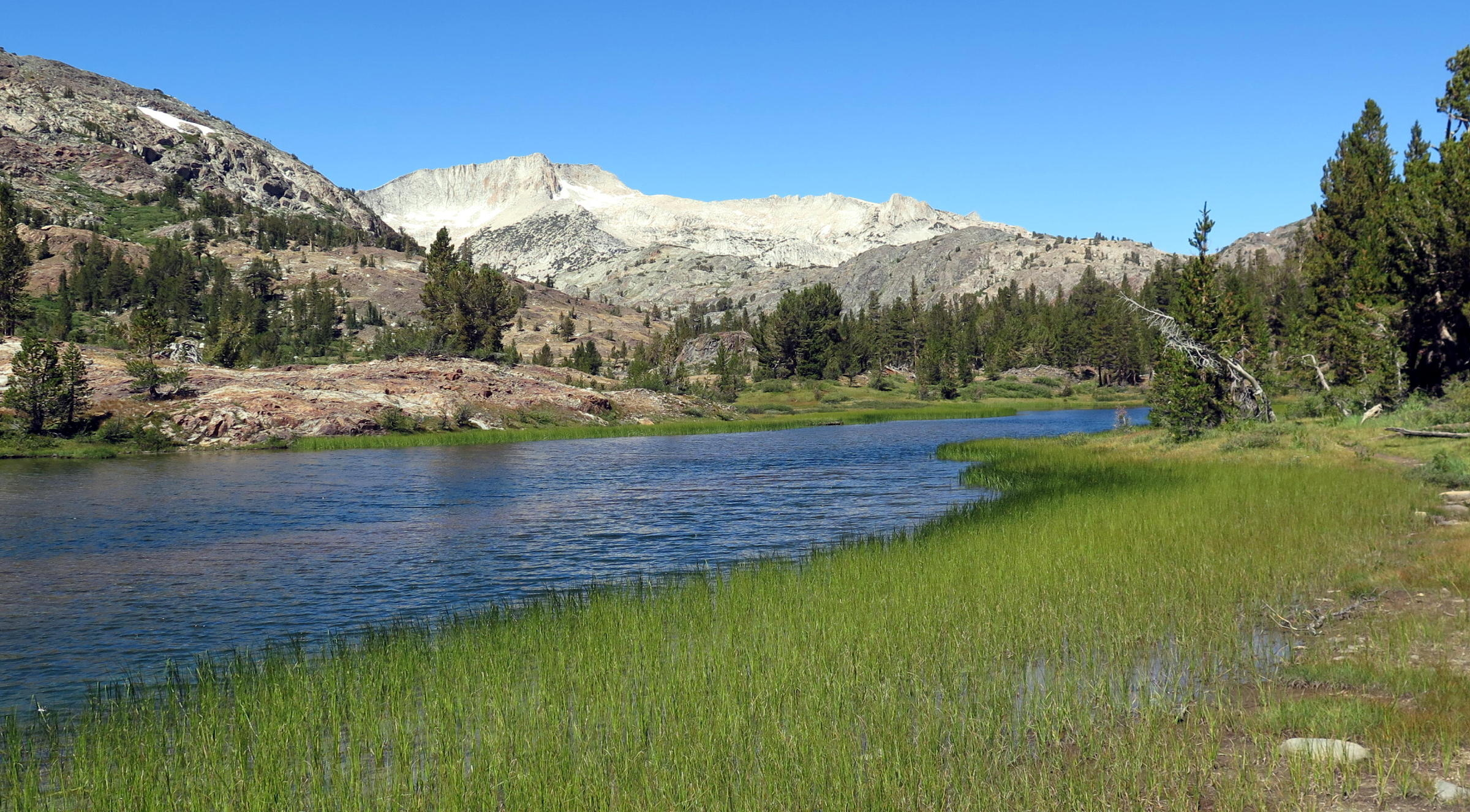
Green Lakes |
 |
|
 |
 |
Elise |
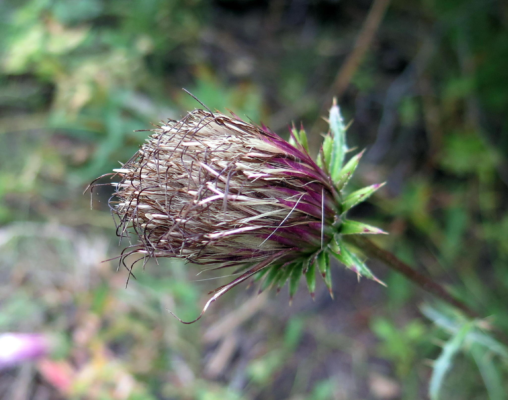 |
thistle | |
 |
again |
 |
Jeffrey pine |
 |
|
 |
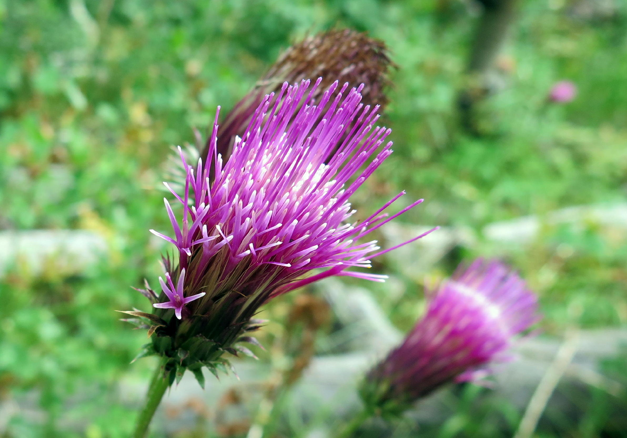
Sierra tiger lily |
 |
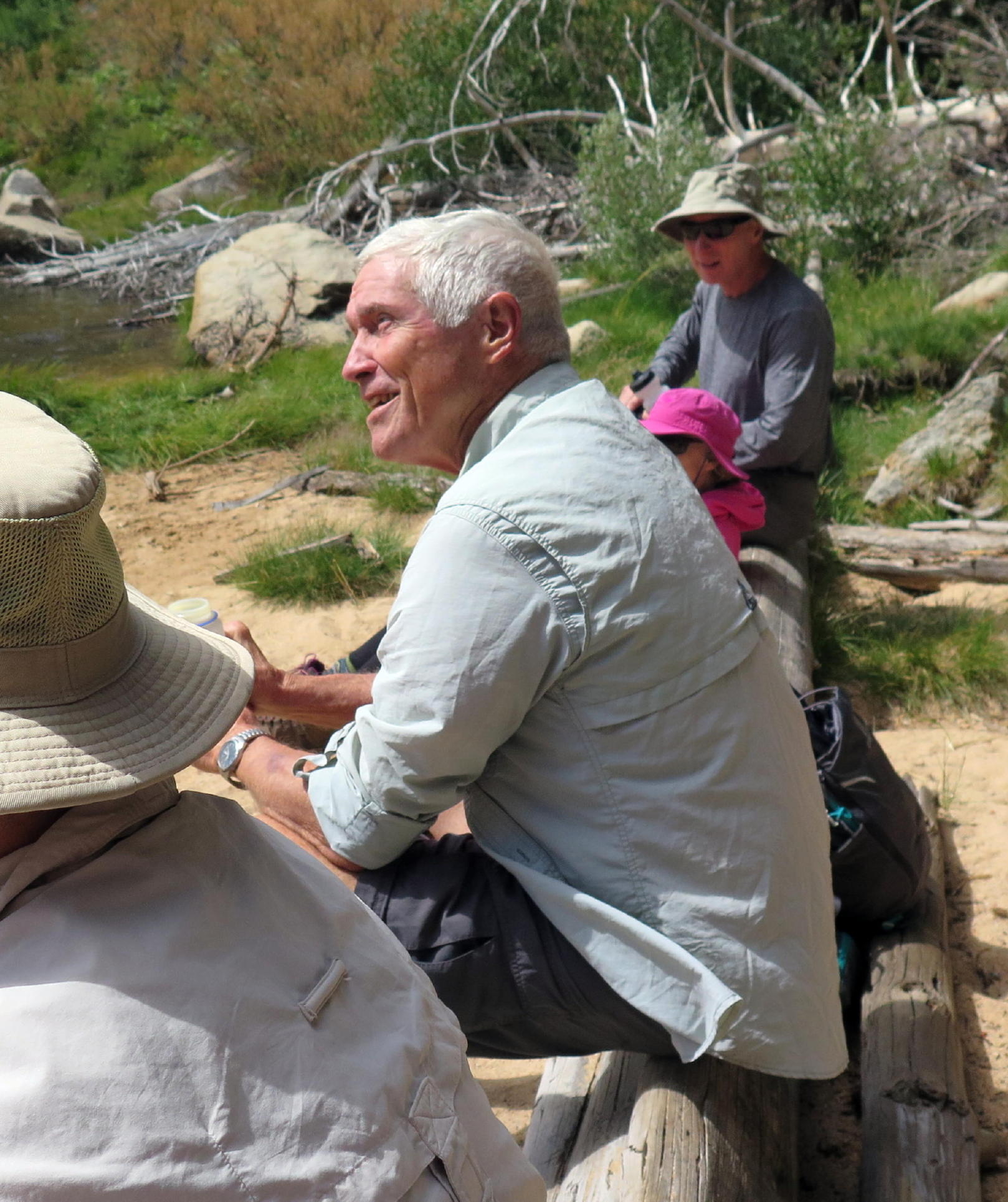
break time |
 |
|
 |
Juniper again |
 |
note - once at the Lake there was a 30+ mph wind, in your face, and we had to search to find a wind-free lunch spot.
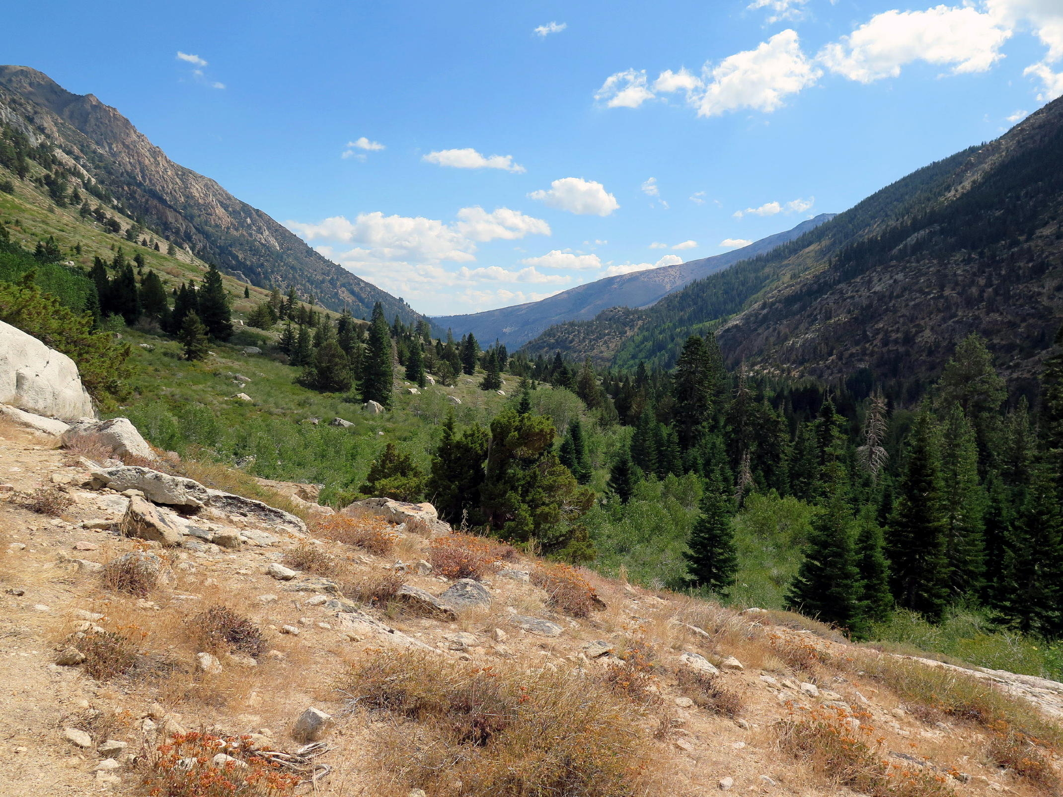
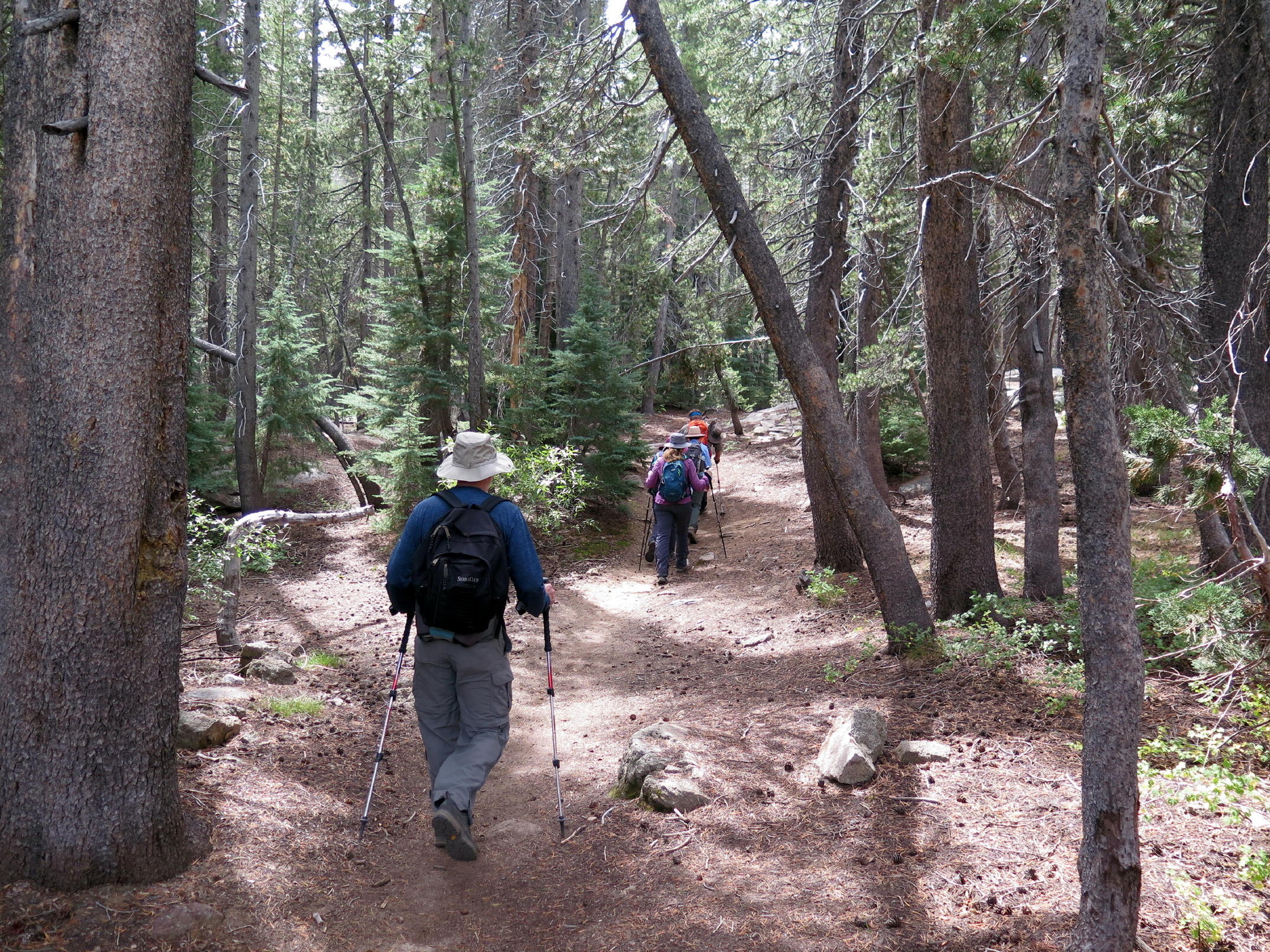
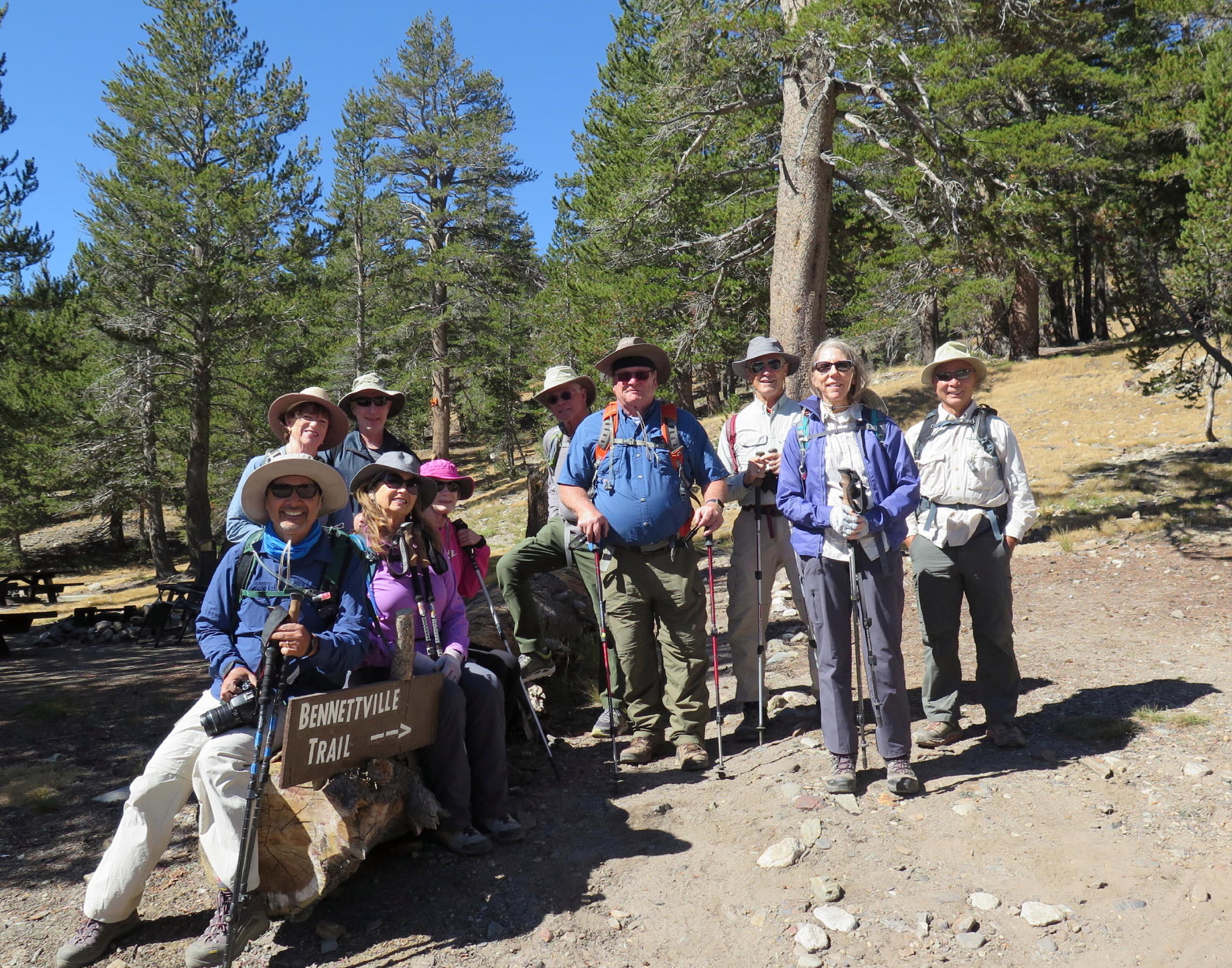
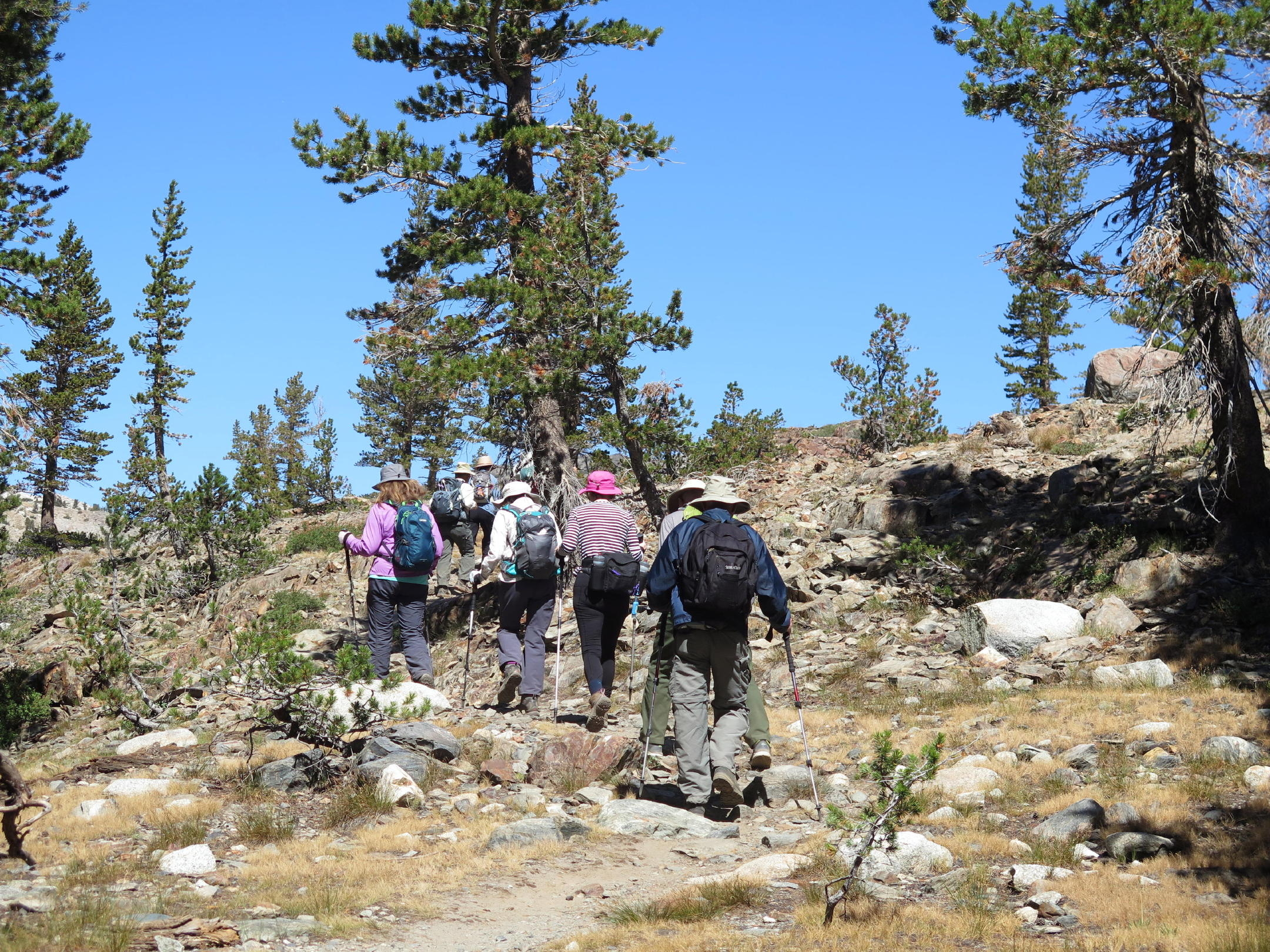
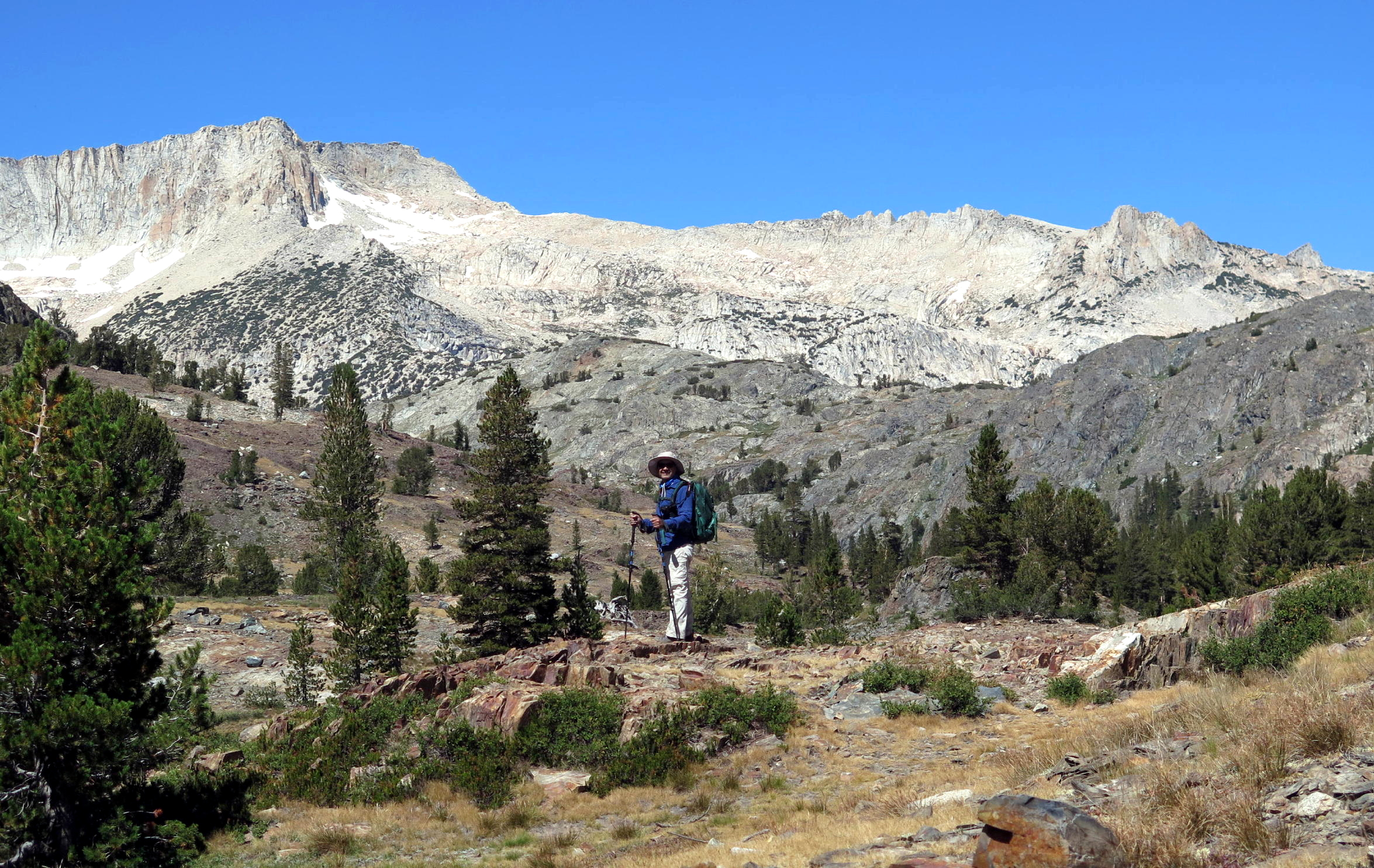
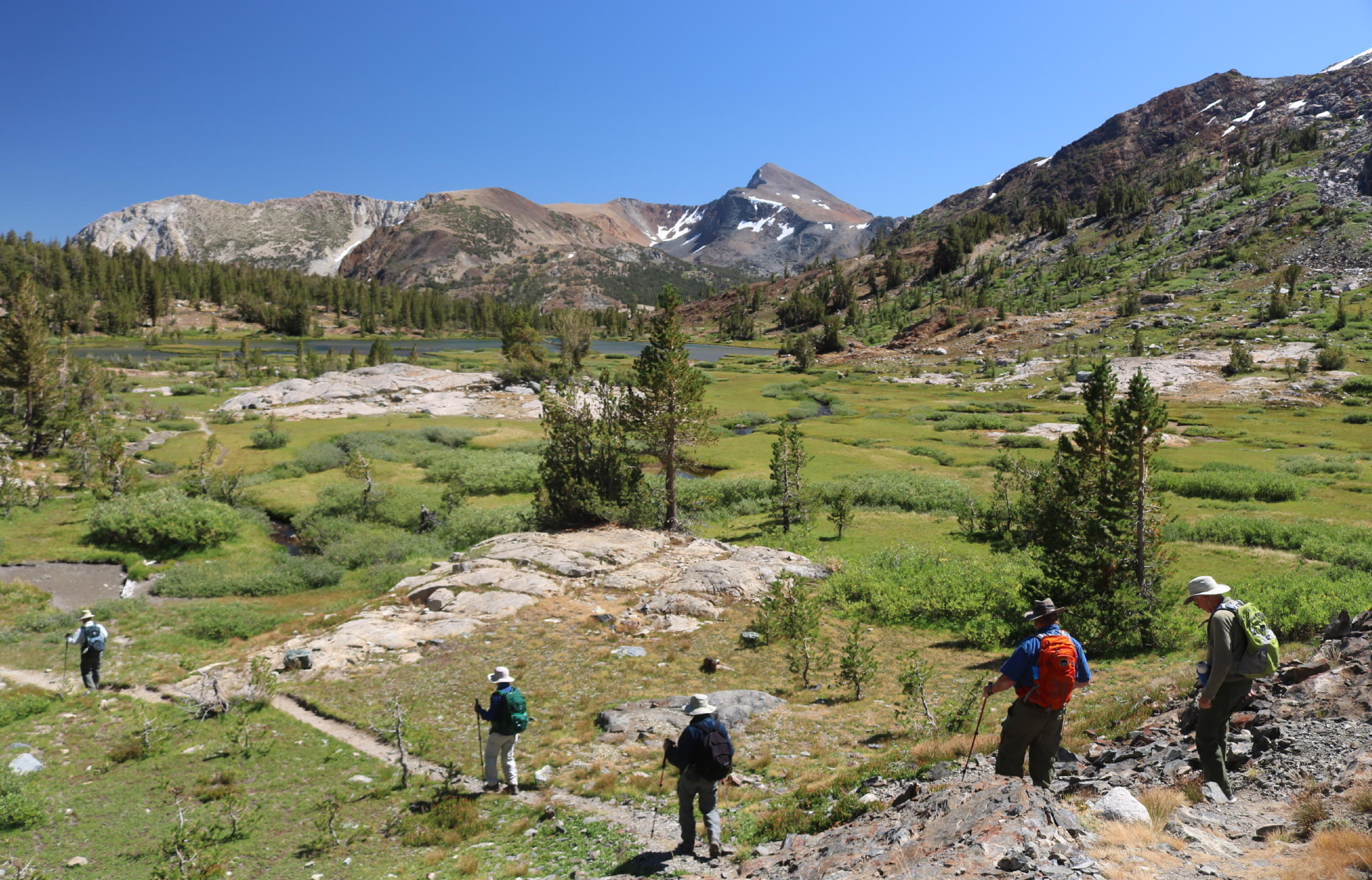
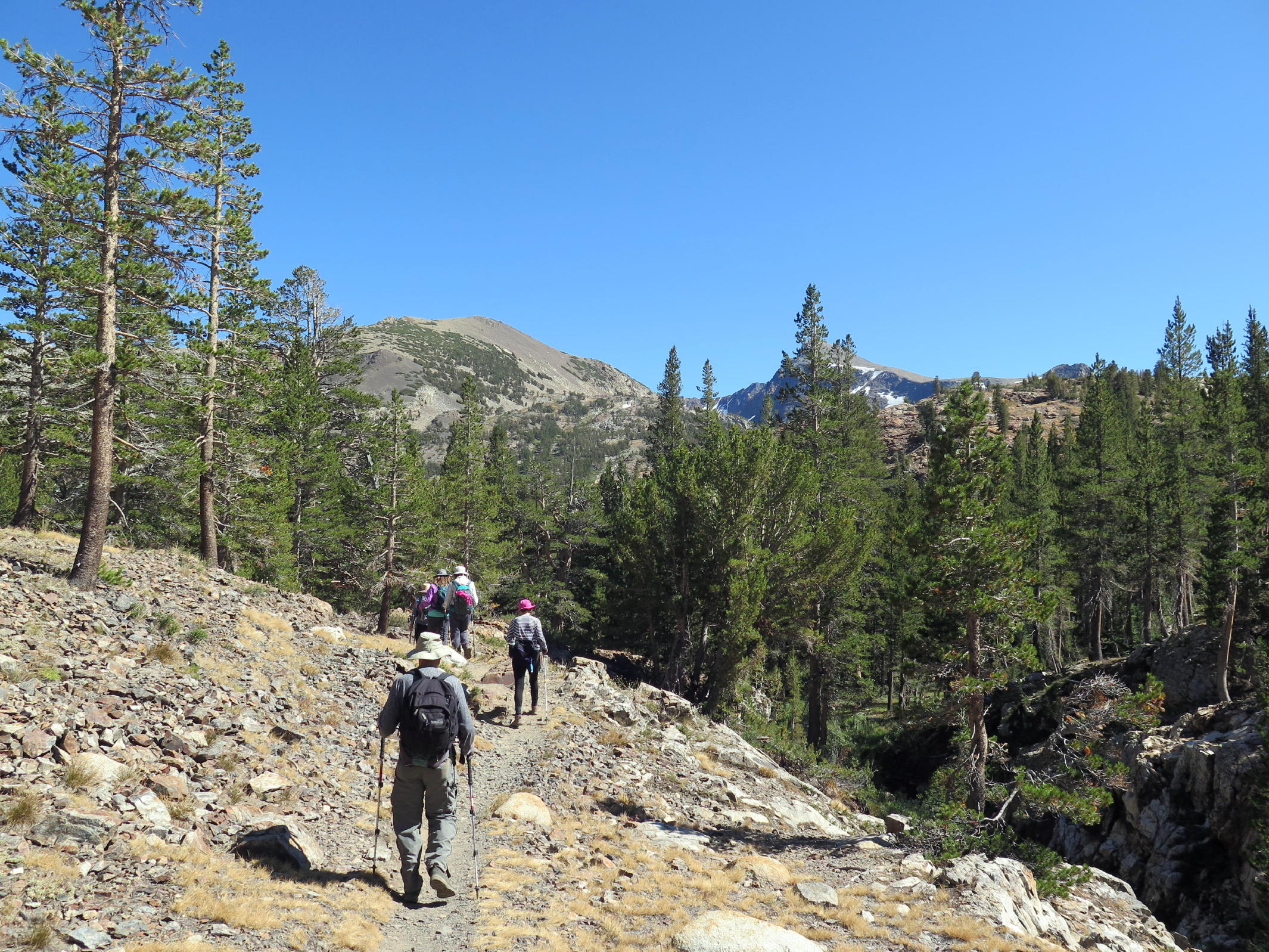
The third walk was out first visit to the Mine Creek trail to Bennettville and beyond, the trailhead being just off Tioga Road, near the East Entrance to Yosemite NP. We were at 10,000 ft., or so.
 |
Twin Lakes peaks from Bridgeport |
 |
starting out at Mine Creek |
 |
the hikers |
 |
gradually uphill |
 |
 |
||
 |
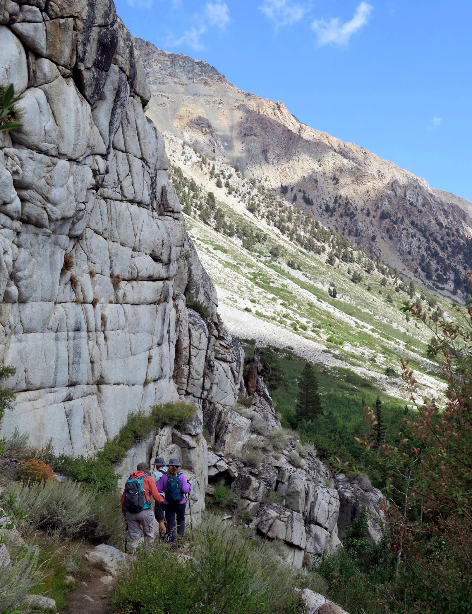
getting to the good scenery |
 |
 |
||
 |
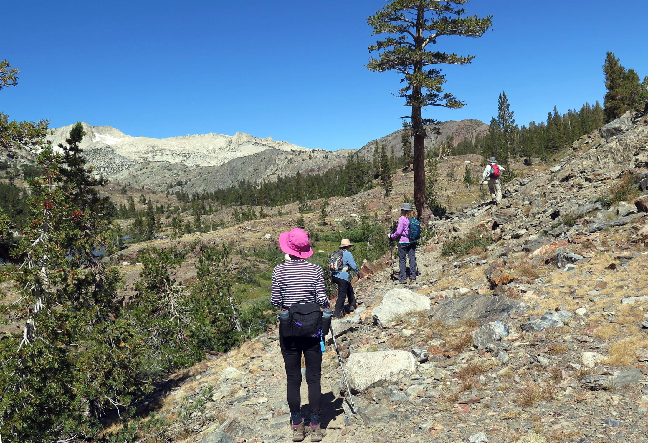
Mine creek meadow |
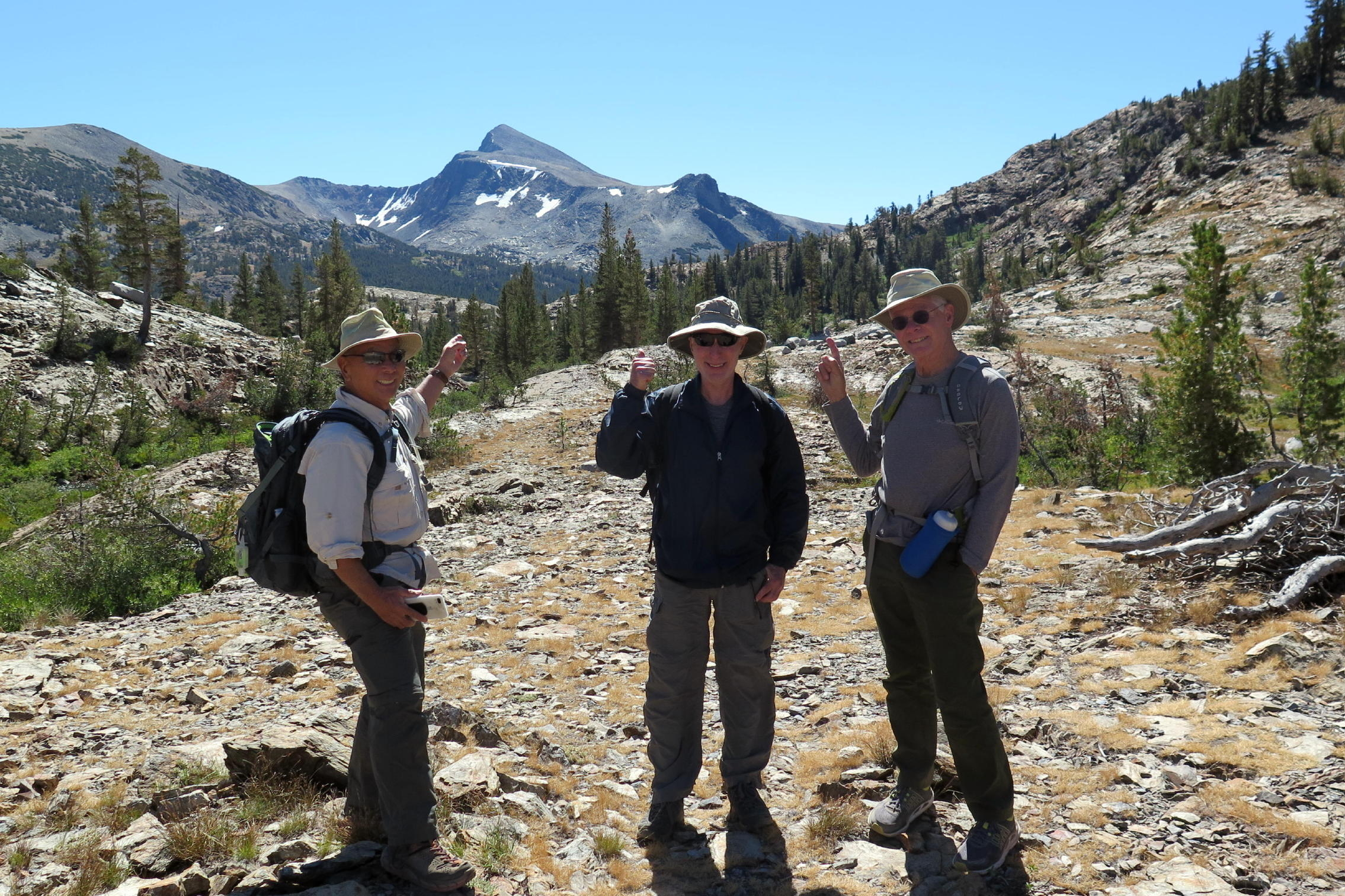 |
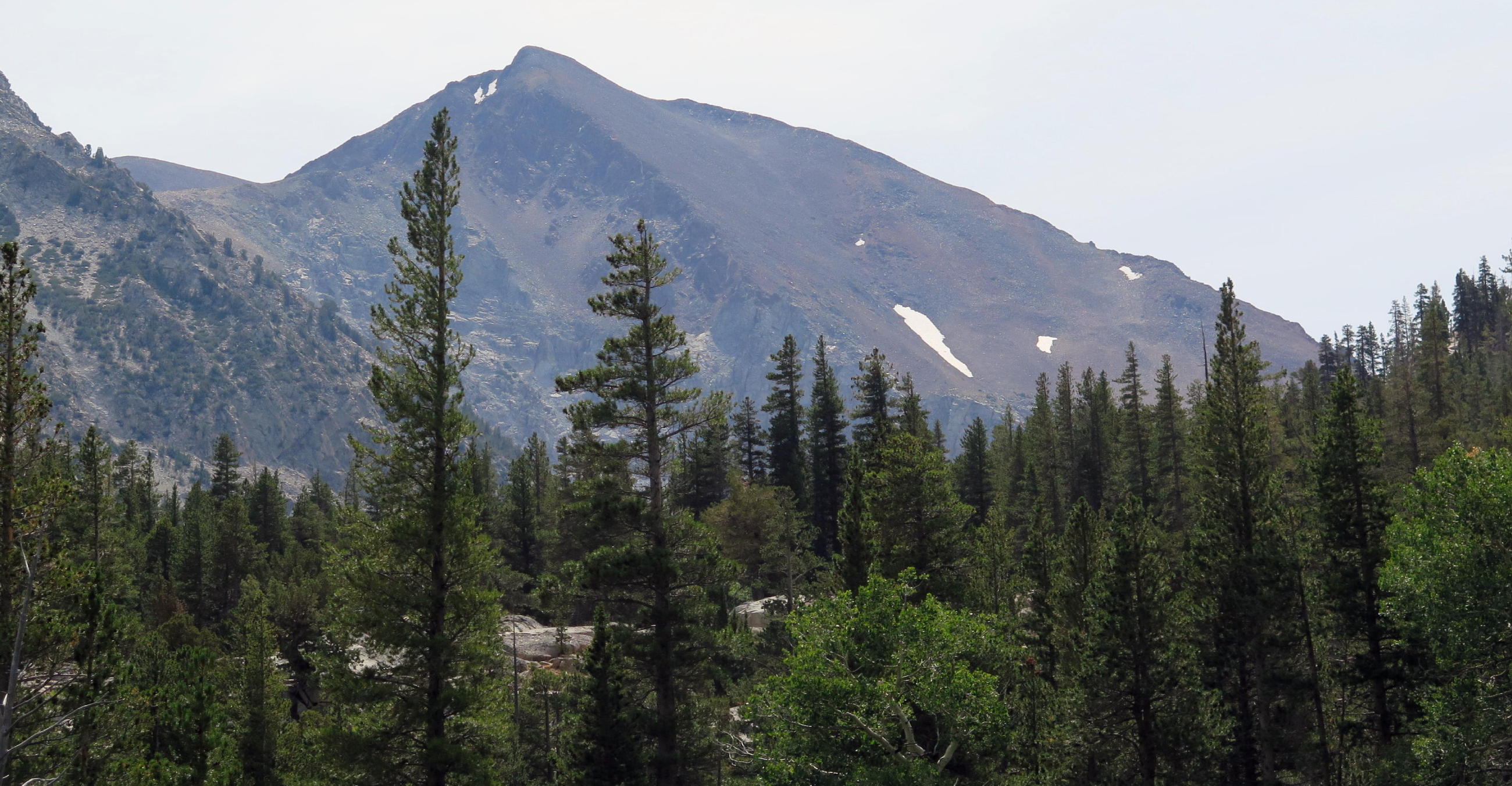
Dana Peak, see note |
 |
|
 |
Surjit & Mt. Conness at 12,002 ft. |
|
|
||
 |
lunch stop & high point of the day |
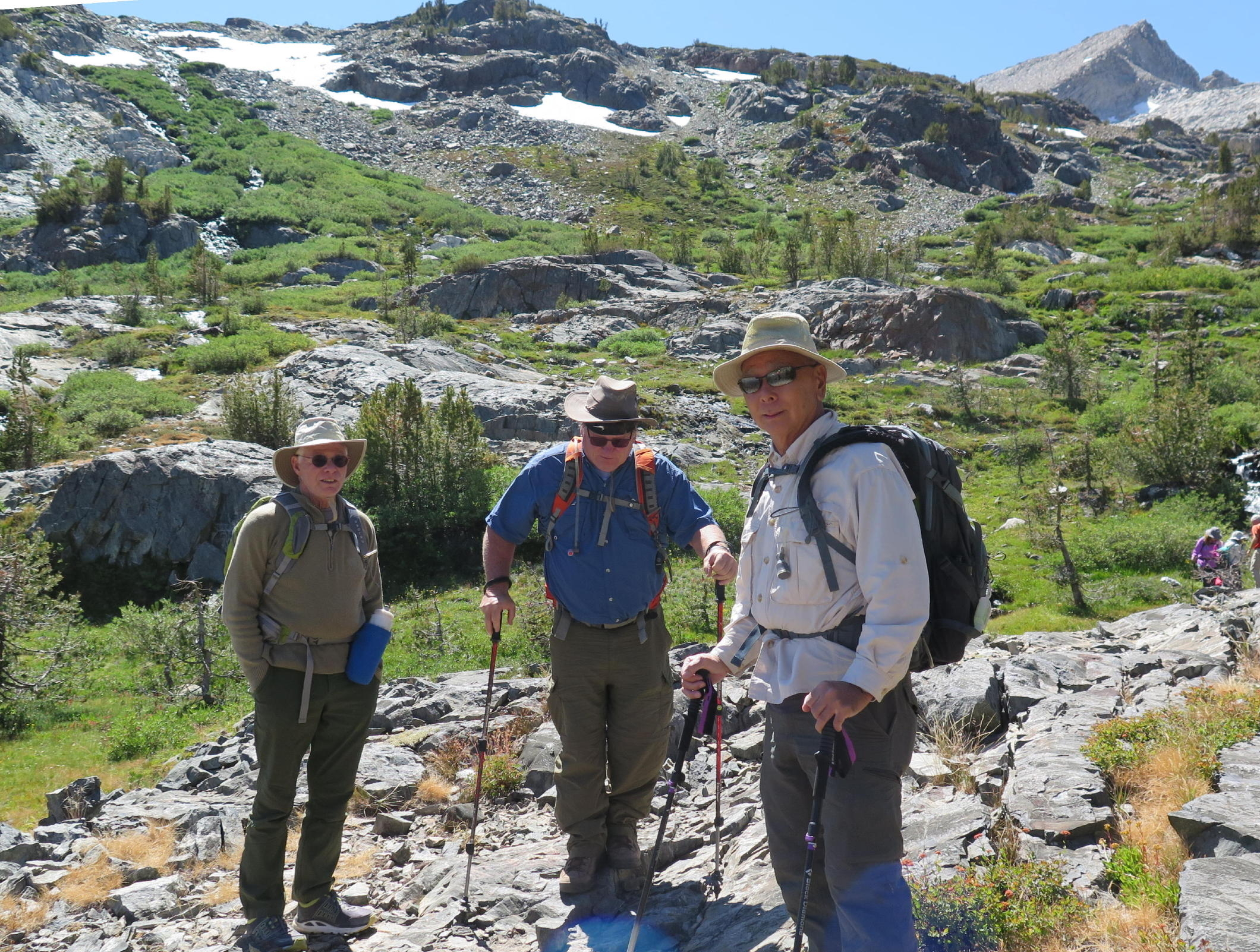 |
Dick, Jerry, and Geno |
 |
|
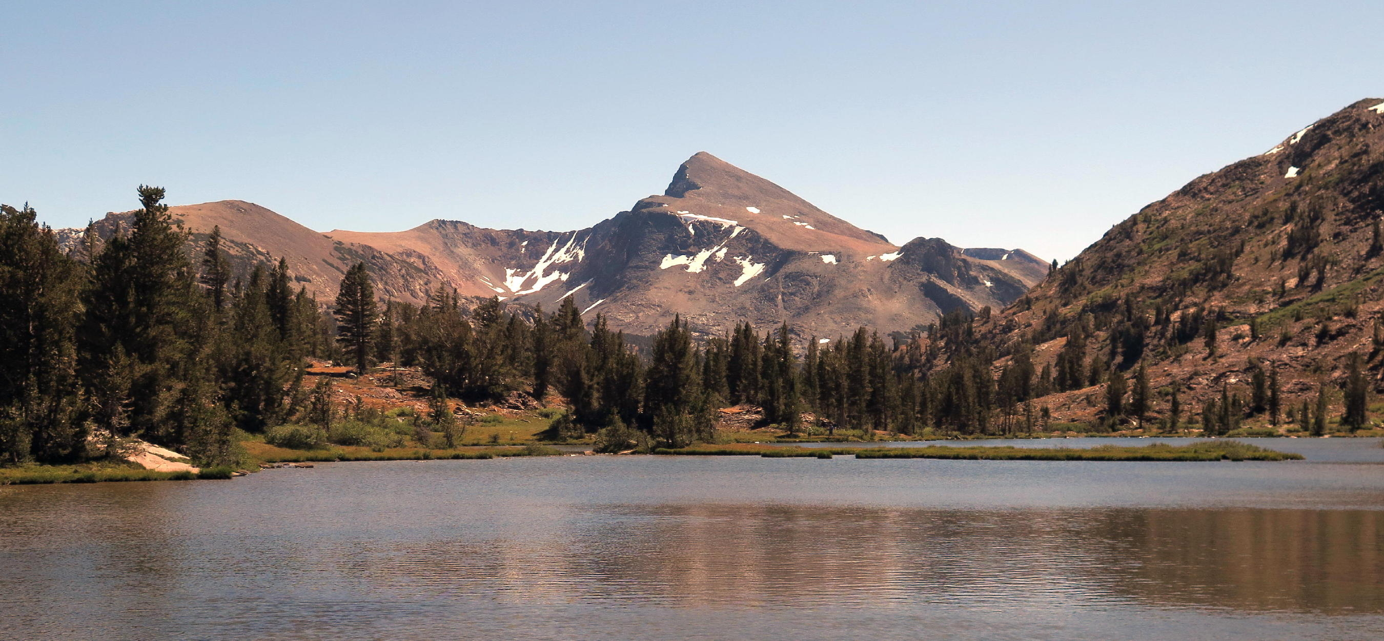 |
Mt. Dana again |
 |
heading downstream |
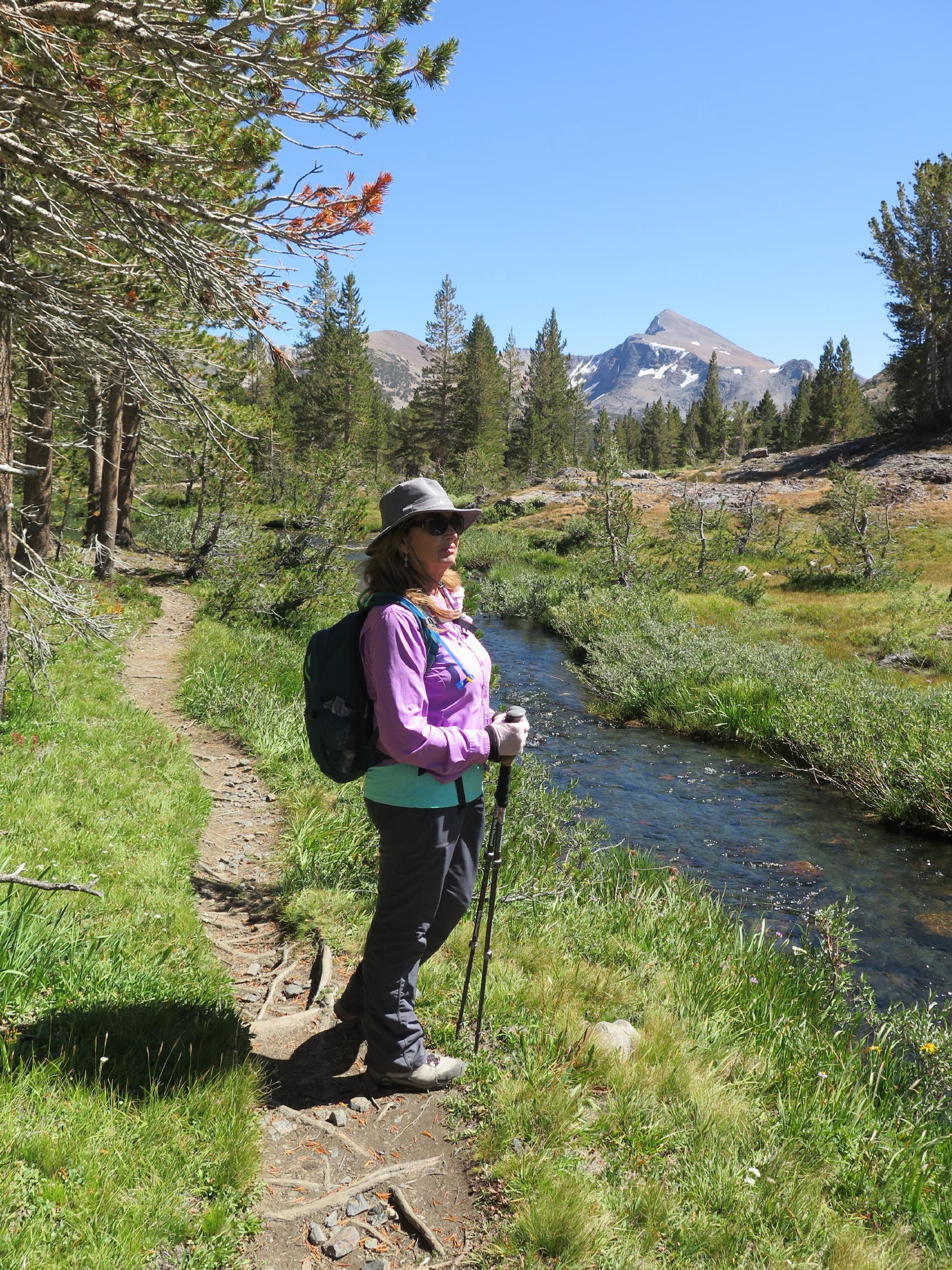 |
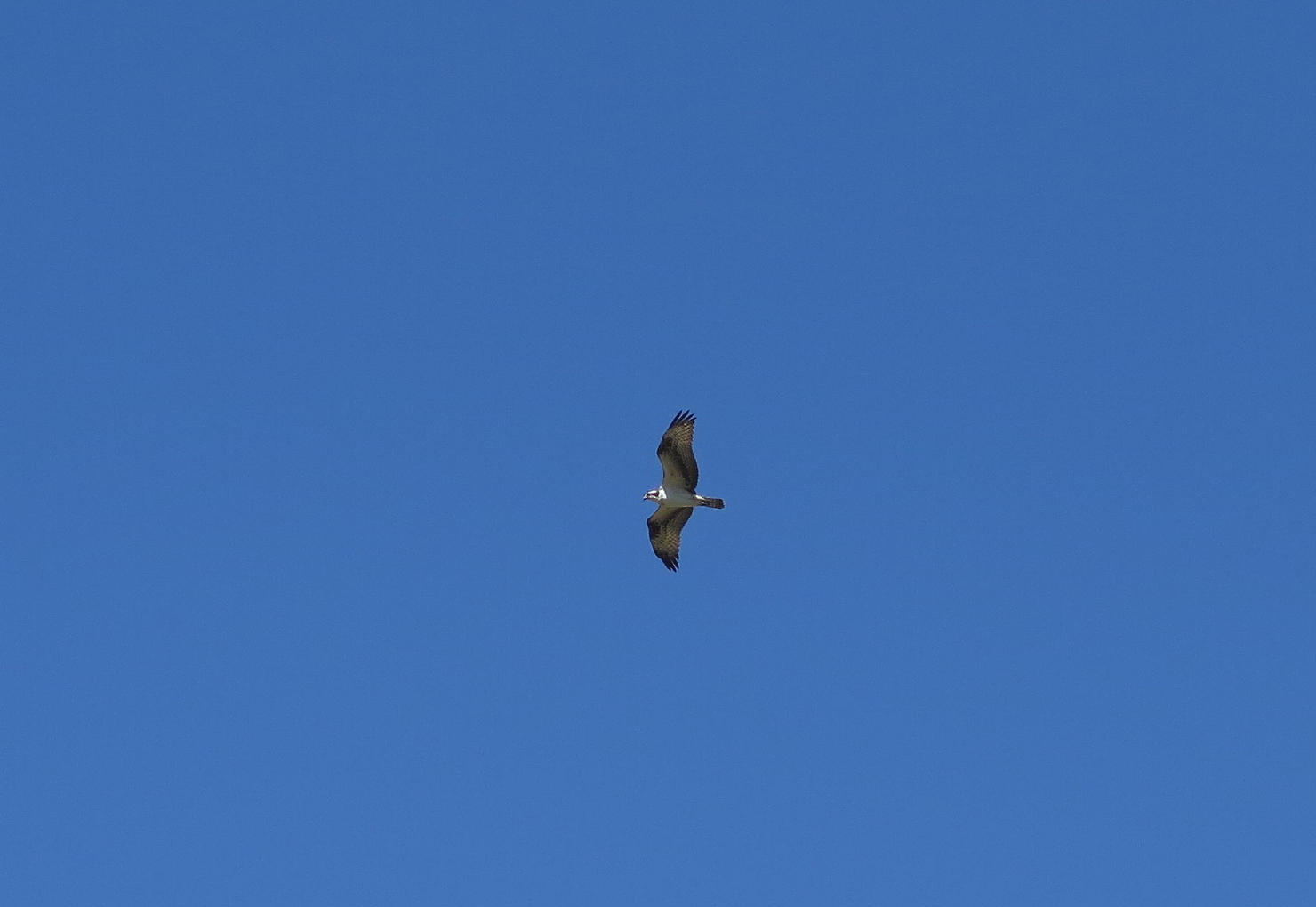
Linda and I talked |
| abut an Osprey overhead and a stone she had just found |
 |
see note 2 |
 |
 |
|
 |
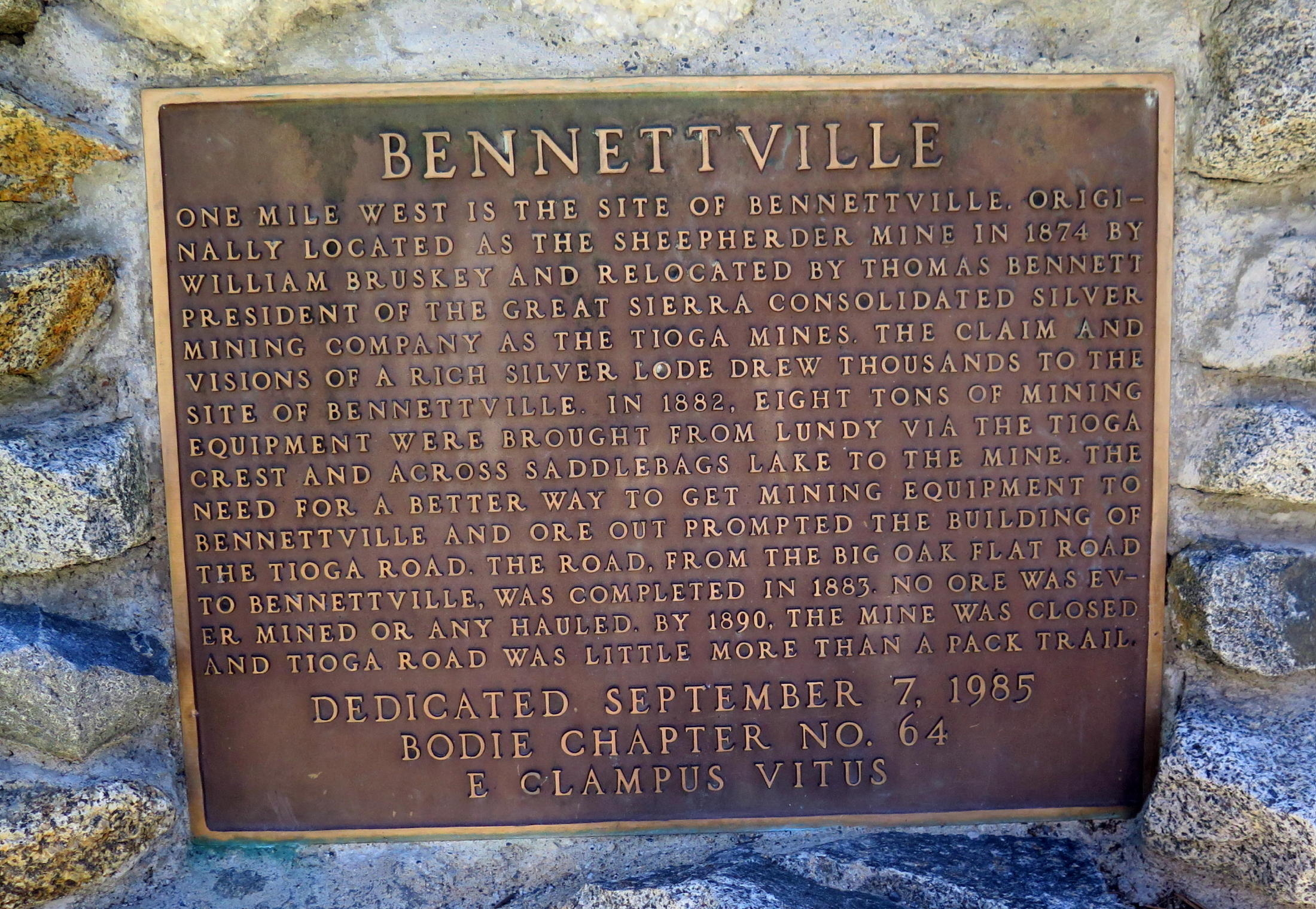 |
Bennettville |
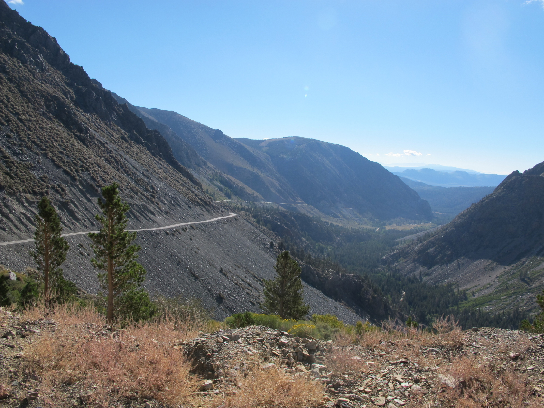 |
the old mining road (Hwy 120) |
note - Geno, Rick K. and Dick F. climbed Mt. Dana, at 13,061 ft., about a year before.
note 2 - on the start of the return walk, Linda became mystified because she had just found an interesting stone in a streambed, a rock with a distinct bird-flying mark. Then only minutes later an osprey fly over, a sign from above? Thirty minutes later she told me that pondering this helped her make her mind up on something. (see Epilogue)
We had an enjoyable hike up and back and must have gained 700 ft or so.
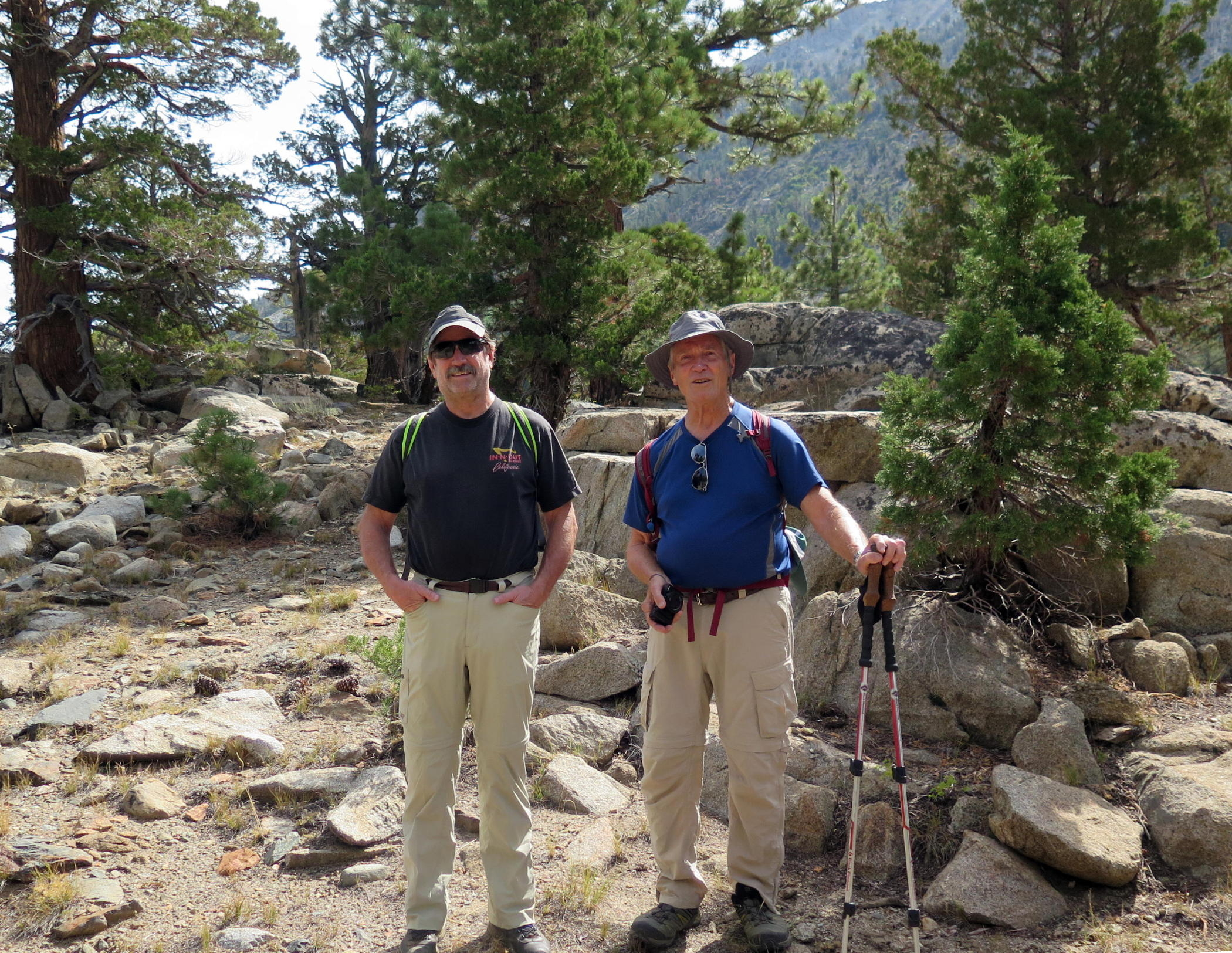
In attendance were: Rich & Linda, Chris Lewis & John, Patrick & Victoria & Elise, Rick & Julie, Lynda & Jerry, plus soloists Jean, Geno, Dick F., and me.
return to eastern sierra index
return to index
Epilogue - On the drive home north on 395, most drivers opted to take scenic Hwy 89 over Monitor Pass, a great drive ! About 20 minutes later, a number of us arrived at the only good breakfast stop in Markleeville, population 170 & a one-intersection town at elevation 5,500 ft. This place has a wonderfully remote feeling.
As the driving groups enjoyed coffee & breakfast, Linda and I compared her rock image to the camera photo. I was glad that she found it meaningful, and this was a good end to the trip.
 |
rock w/bird flying mark |
General note - only a few weeks later Rich and Linda and my wife and I would merge at Dublin, where we started our 16-day driving tour of parts of Scotland & England, see Oct. '19 UK Trip.