Fleming Meadow - June '26
return to index
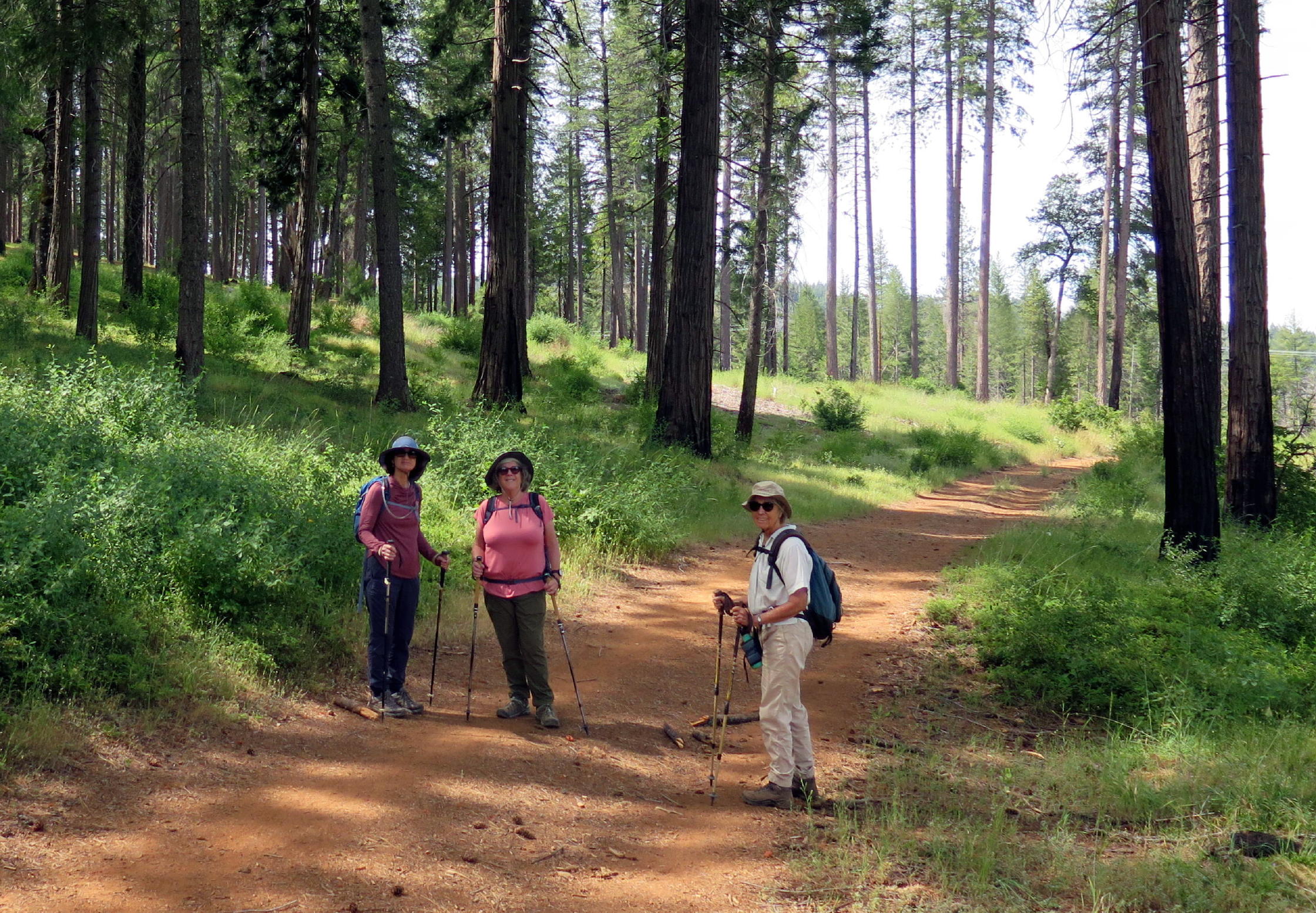
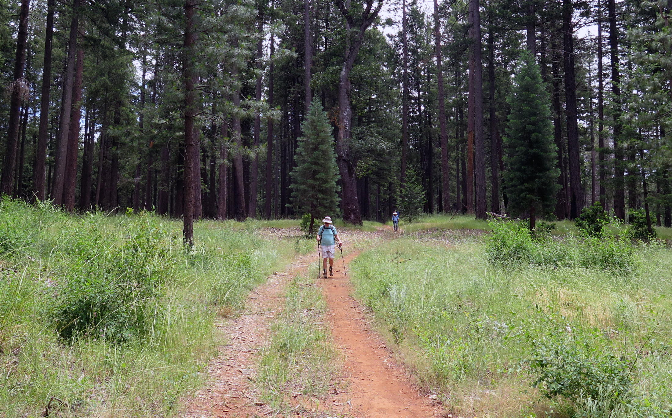
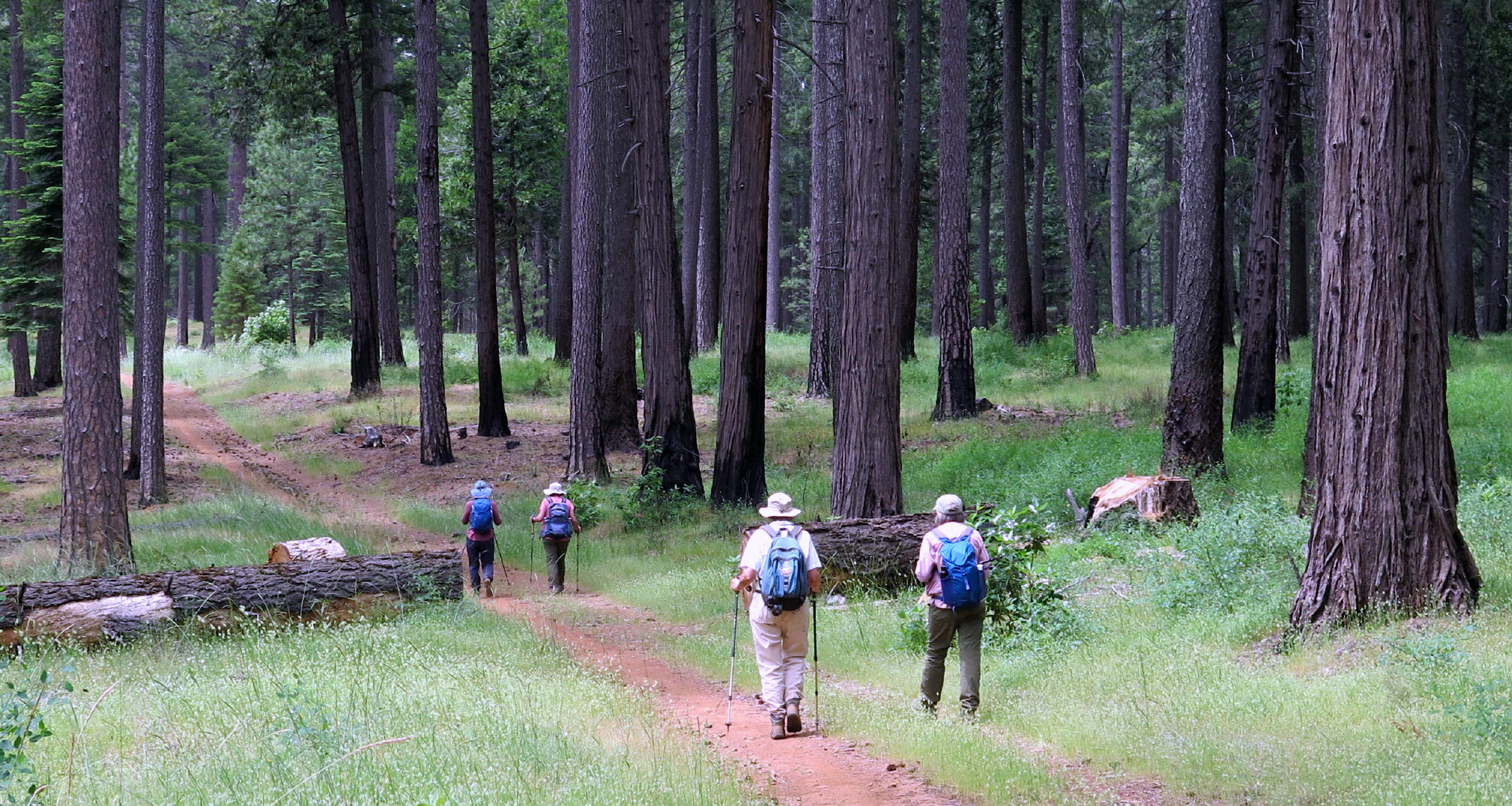
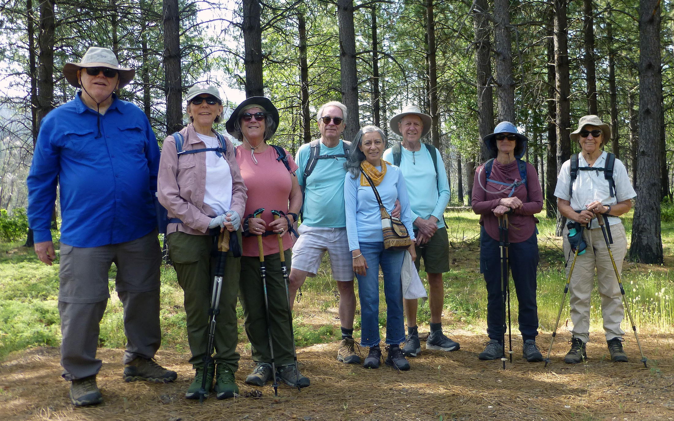
Eight of us had another visit to Fleming Meadow, on Mormon Emigrant Rd., not far from Pollock Pines and Sly Park. Many of us have walked the figure-8 loop trail a few times before, which is 5.3 miles and 740 ft of gain.
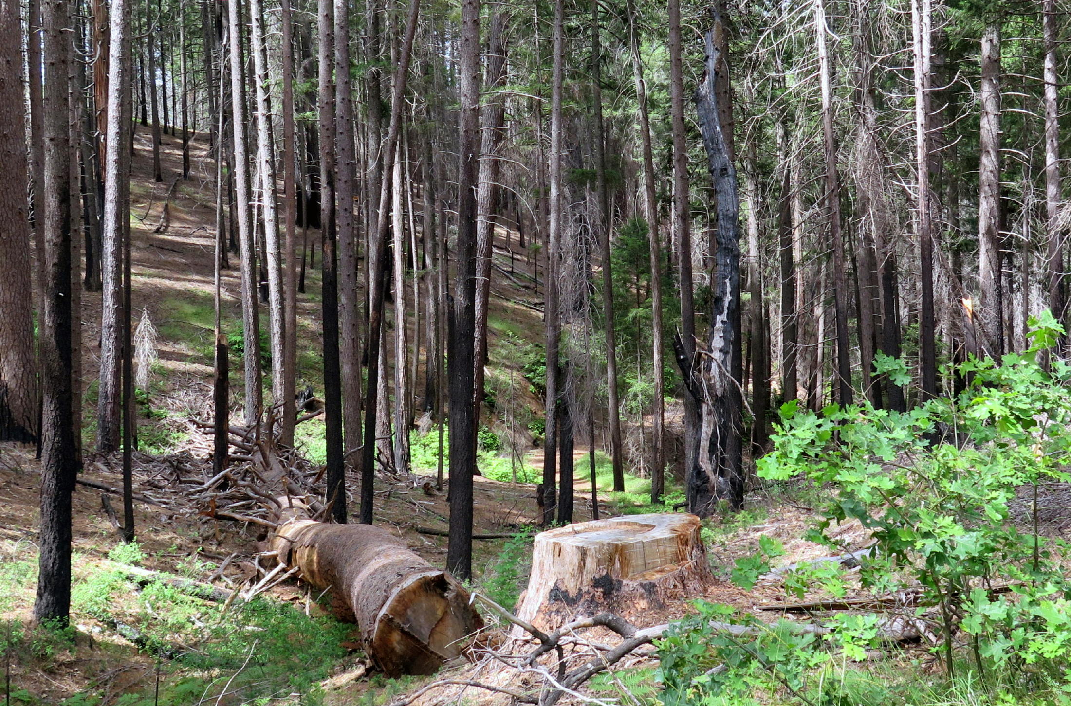
This time I wanted to try a side trail which leads down to Camp Creek & back, but the rangers here intentionally blocked the trail with numerous downed trees, becoming progressively harder to get through. We gave up after 15 minutes & returned to the loop trail. More on this below...
|
|
at the start |
|
the road not taken |
|
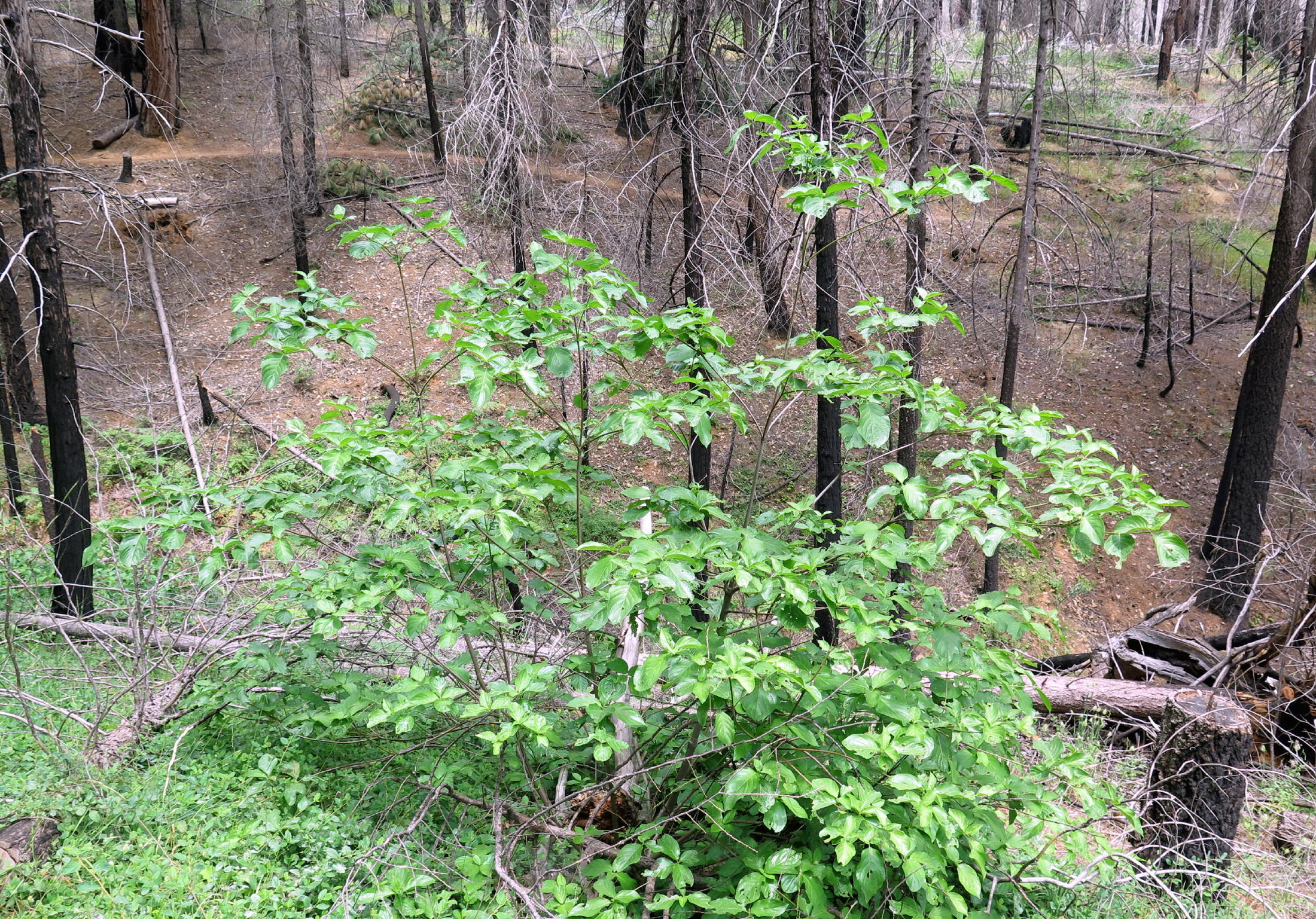
next generation trees |
|
|
|
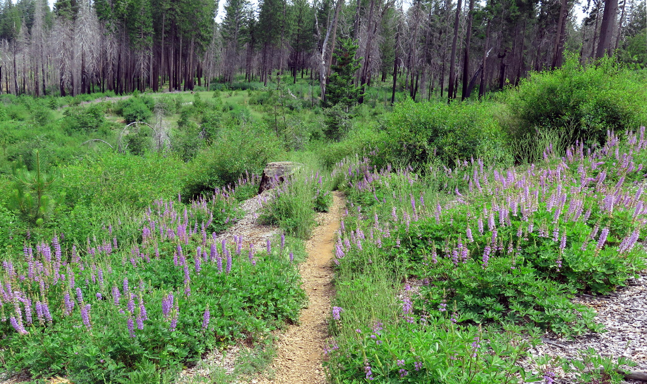
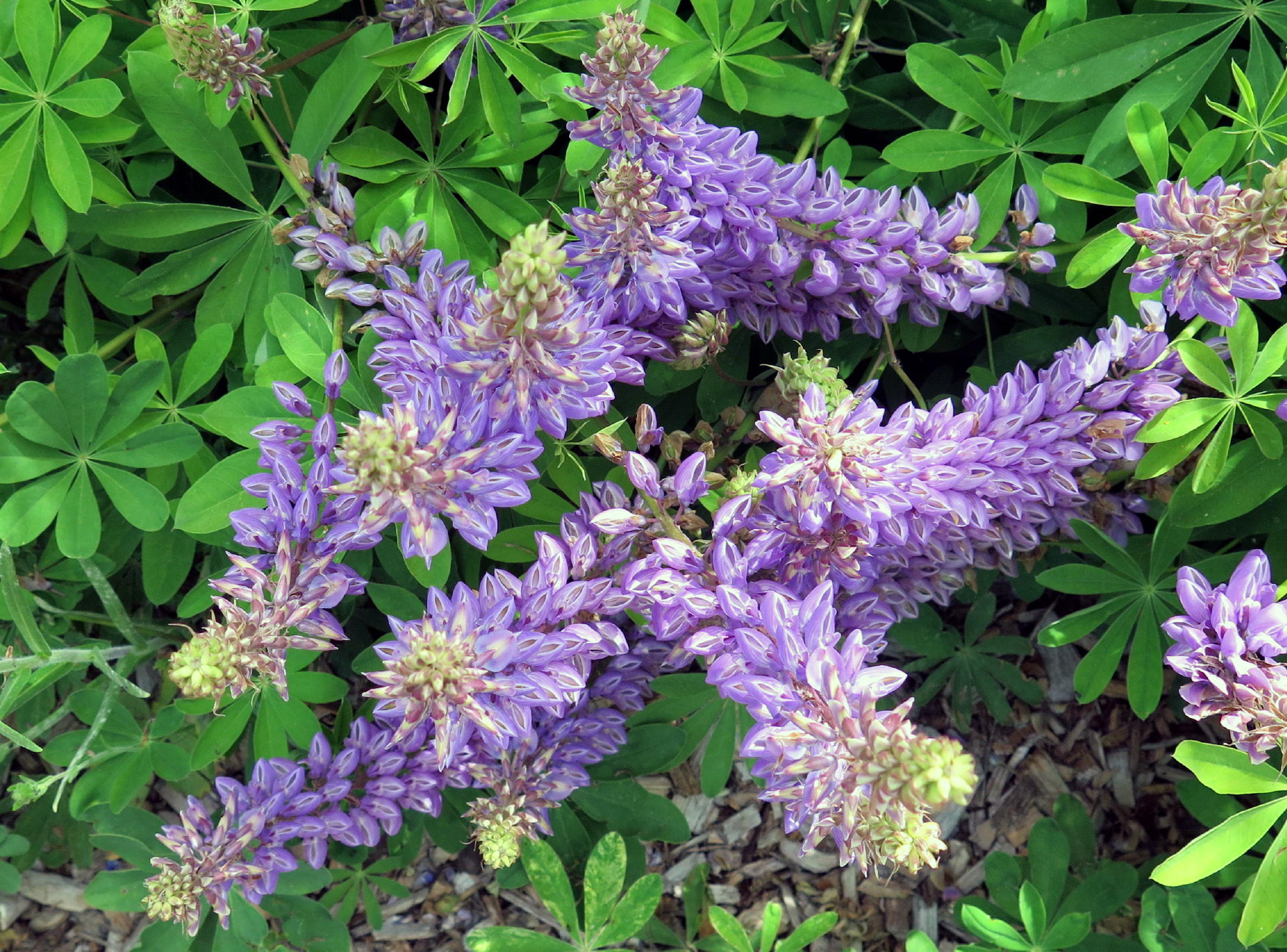
Bigleaf lupine |
|
||
|
|
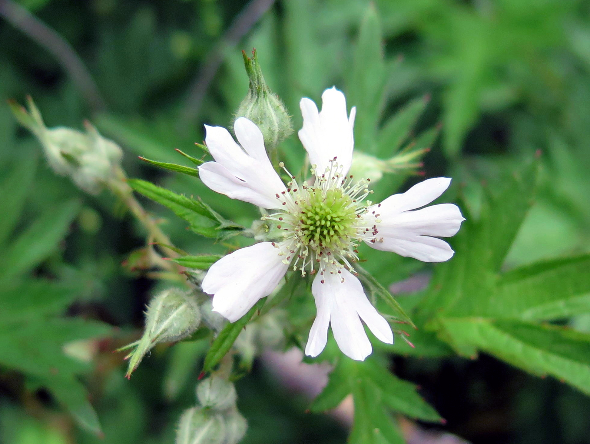
Cutleaf blackberry |
|
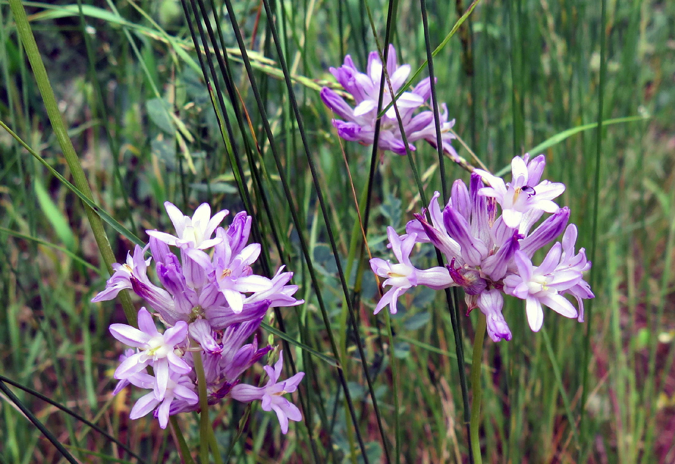
Blue-Dicks, see note |
|
Pacific dogwood |
|
|
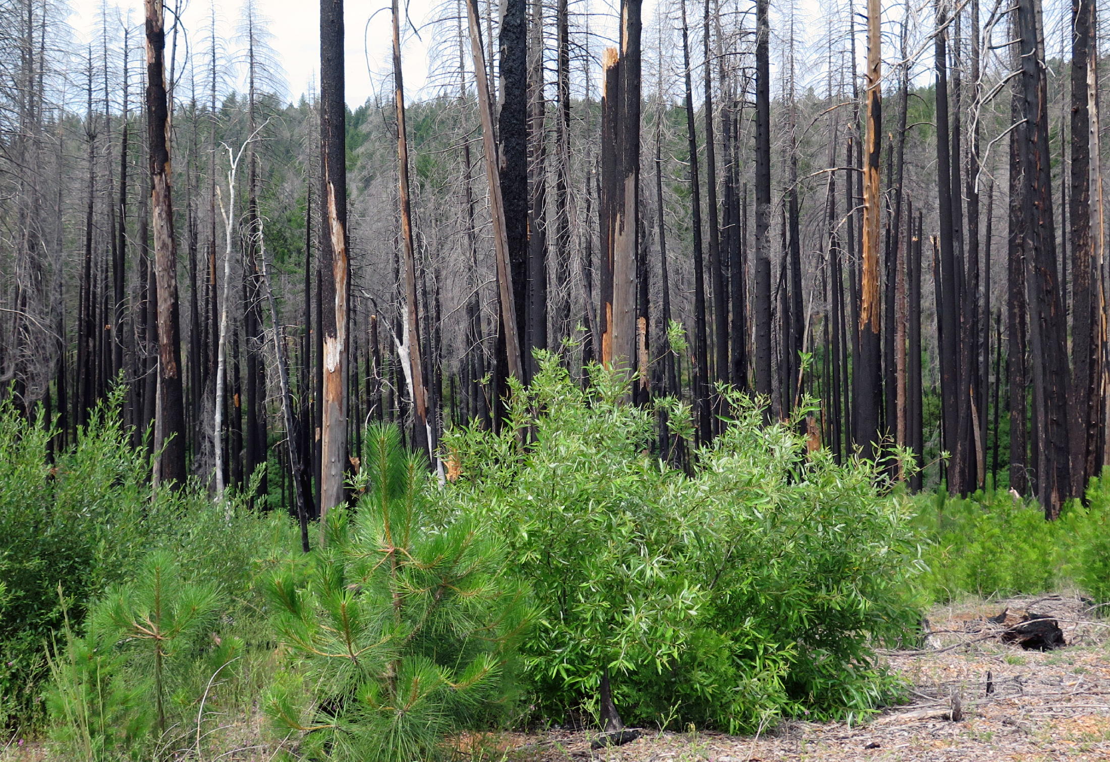
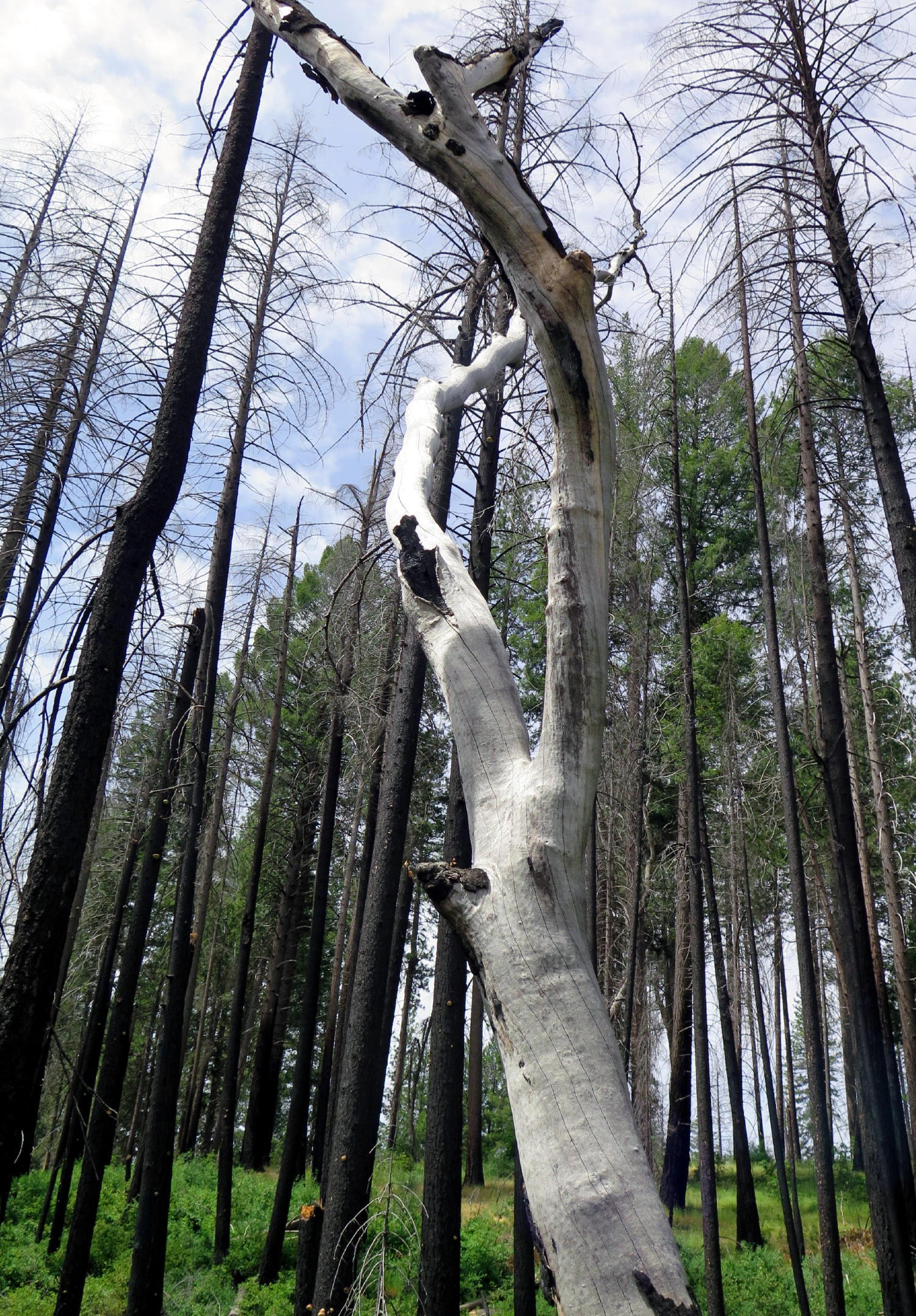
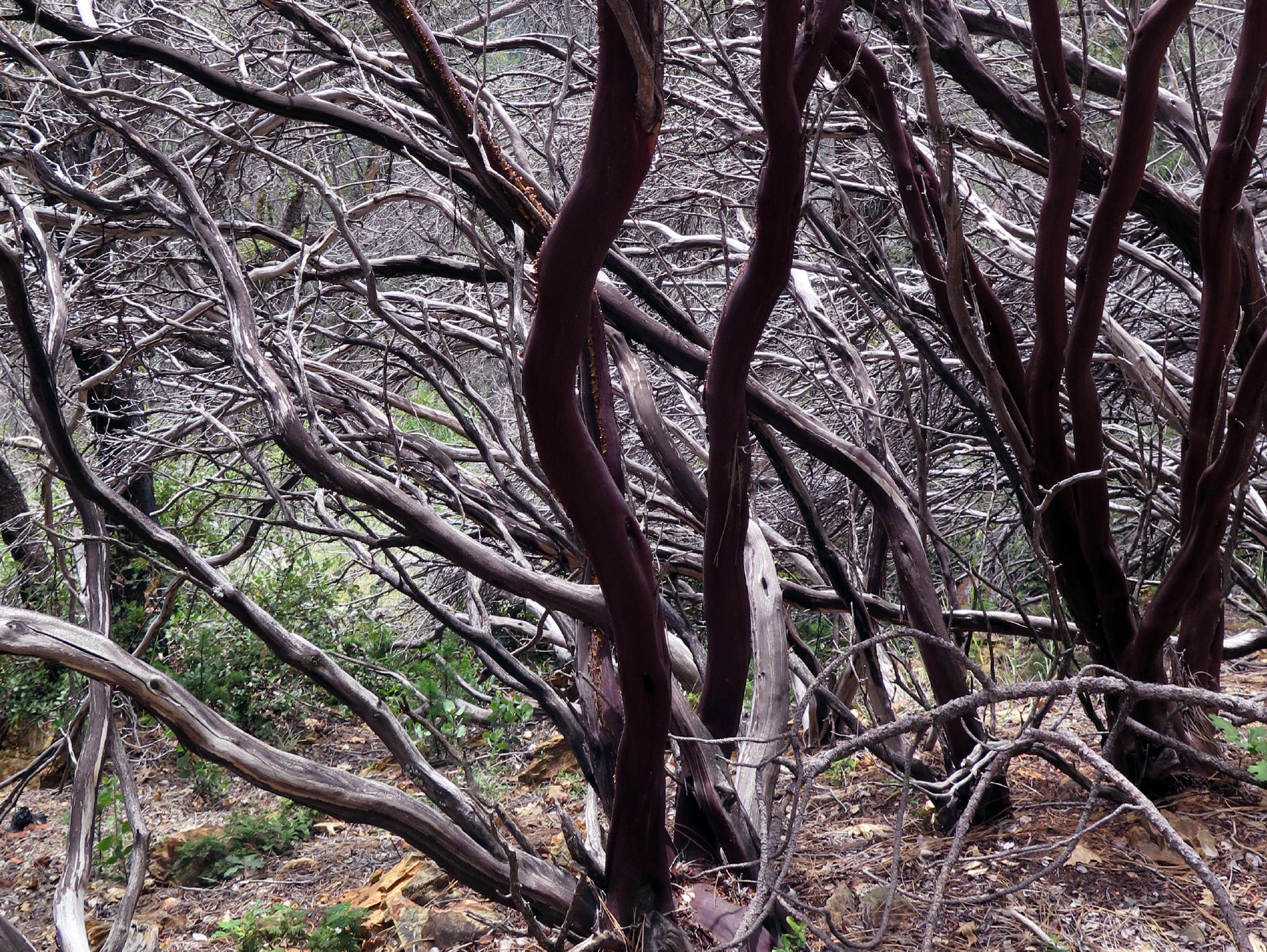
burnt Manzanita woods |
|
Max & Maryam | ||
|
|
Barbara, Marcia, Kathy, Jean |
|
note - ....are also known as Wild Hyacinth or Fork-toothed Ookow !
Attendees (see photo) were Frank, Jean, Marcia, Max, Maryam, Me, Barbara, and Kathy. Thanks, Frank, for the group photo !
The overall walk today was enjoyable with decent weather, but it was overcast & I took fewer photos. This is a 'woodsy' walk of 3 to 4 miles, with a few extended uphill sections. We must have gained a few hundred ft.
The Closed Trail - a few days (after Colo. Springs trip), I called the Eldorado National Forest, Placerville Ranger Station, to ask why a perfectly good walking trail had been blocked by trees, with no signage, and the clerical person said the Rangers had to block unauthorized vehicles from driving on the trail & accessing the creek, especially campers. She mentioned obvious tire tracks. When I replied that we saw no tire tracks, she said, 'well, that's what they told me'.
There is a second side trail that drops to the creek (which we did not take) and maybe that's where intrusions have occurred. My guess is that the destruction from the Caldor Fire (5 years back) probably lead to the Rangers being more protective, especially if campers really were building fires down by the creek. The walk would have been 3 miles, with 500 ft of loss/gain.
It was a year ago that we realized that Camp Creek soon becomes the North Fork of the Cosumnes River, which morphs into the Mokelume River at the Cosumnes River Preserve, and they soon merge into nearby Snodgrass Slough, a tidal backwater of the Sacramento River (last year we had walks at each of these places).
return to index