
Caples Creek - July '25
return to index
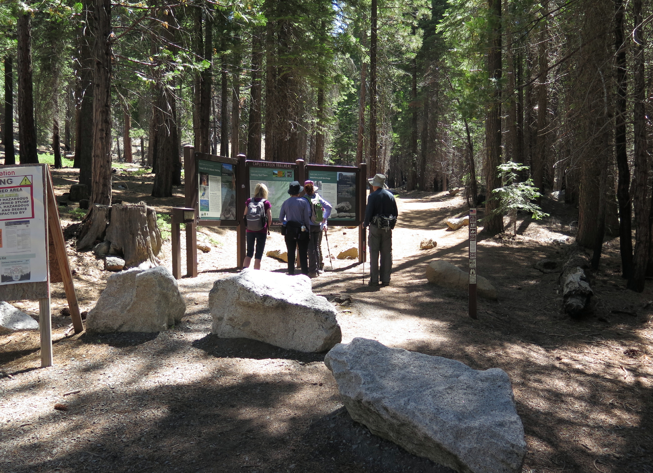
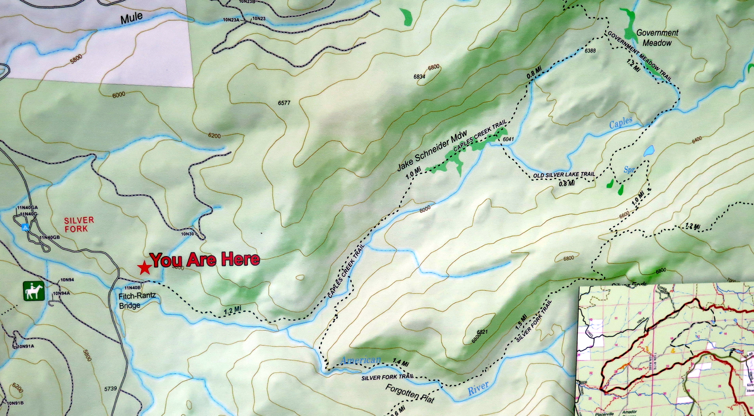
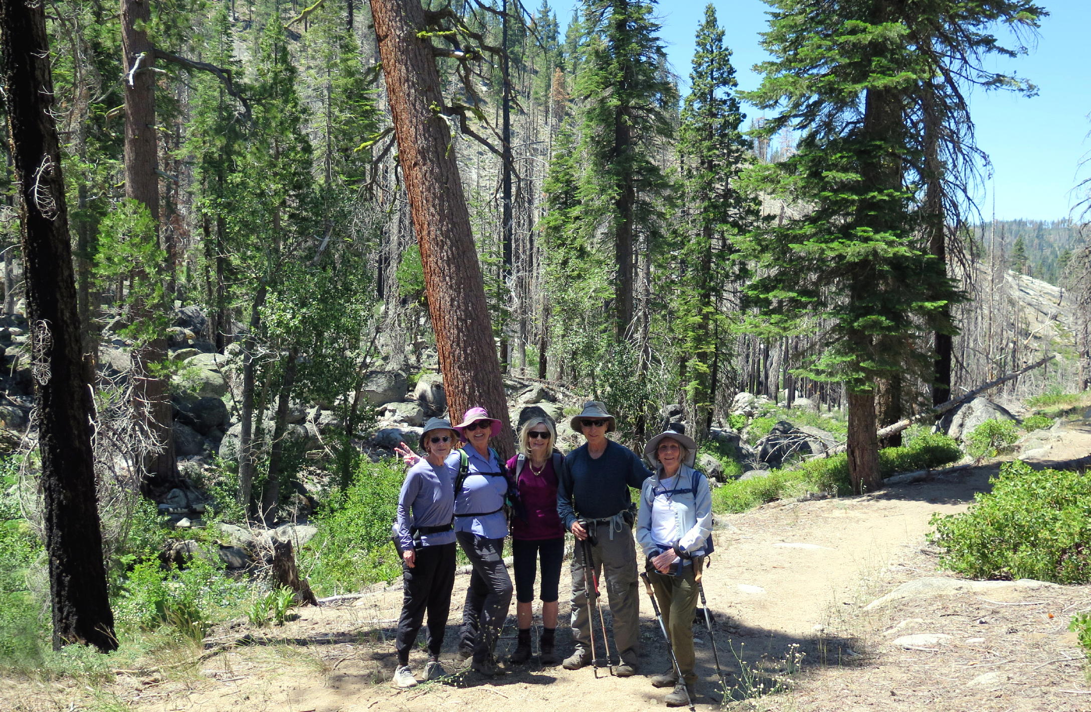
In early July, six of us drove east from Sacramento on hwy 50, past Placerville & on to Kyburz, where we took a right onto Silver Fork Rd., a curvy road heading south to the Caples Creek trailhead, near the Silver Fork campground.
Caples Creek consists of water from Caples and Silver Lake, both uphill on hwy 88 & not far from each other. The elevation of the trail was between 6,000 and 7,000 ft.
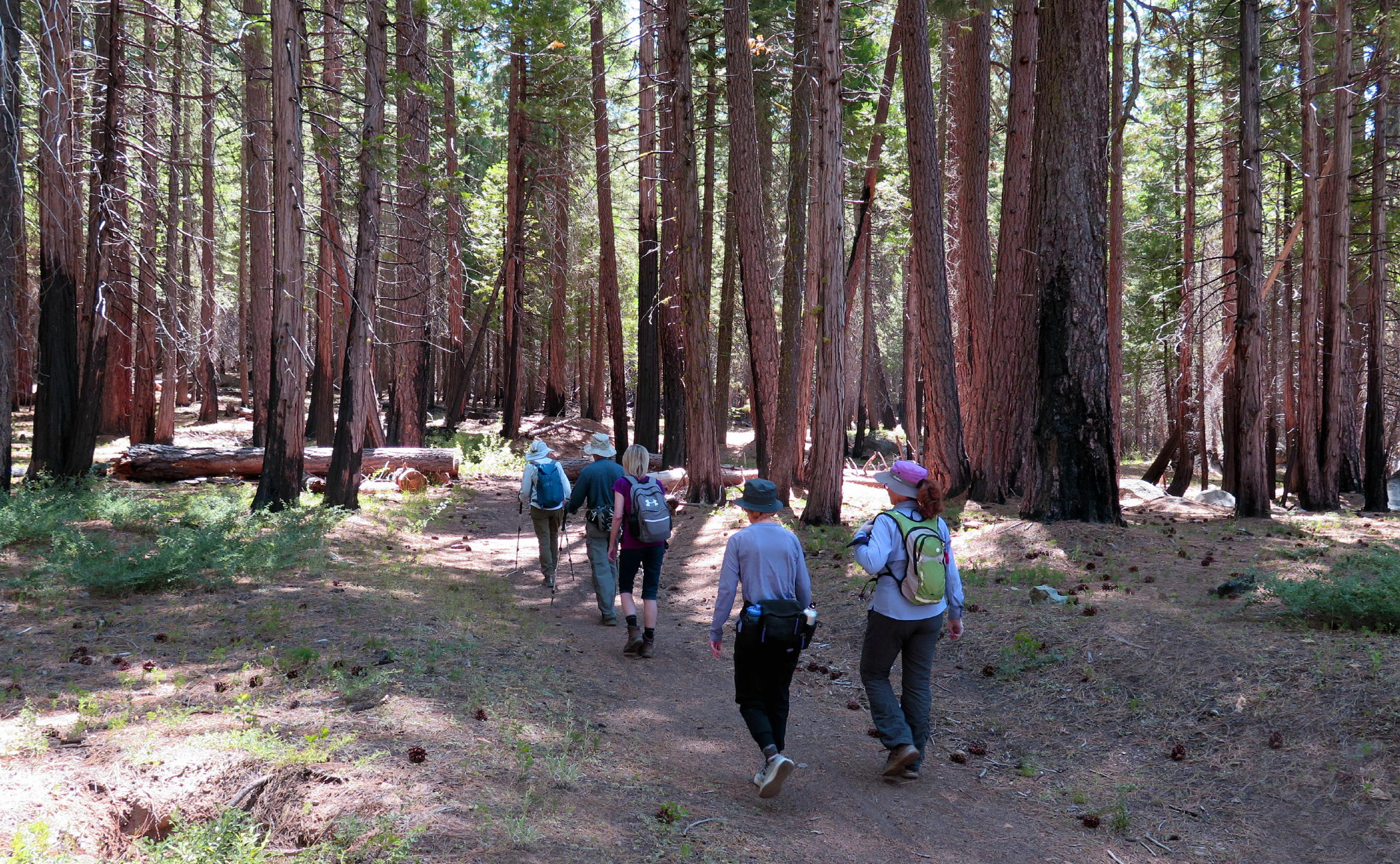
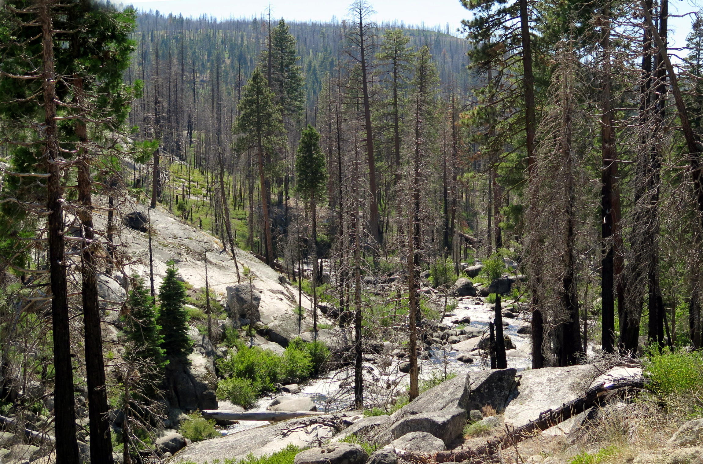
For much of the walk we were in undamaged woods, but we also walked through extensive burn areas from the '21 Caldor fire.
note - on a pc or laptop you can zoom into any part of a photo, but alas, not on a smartphone.
|
|
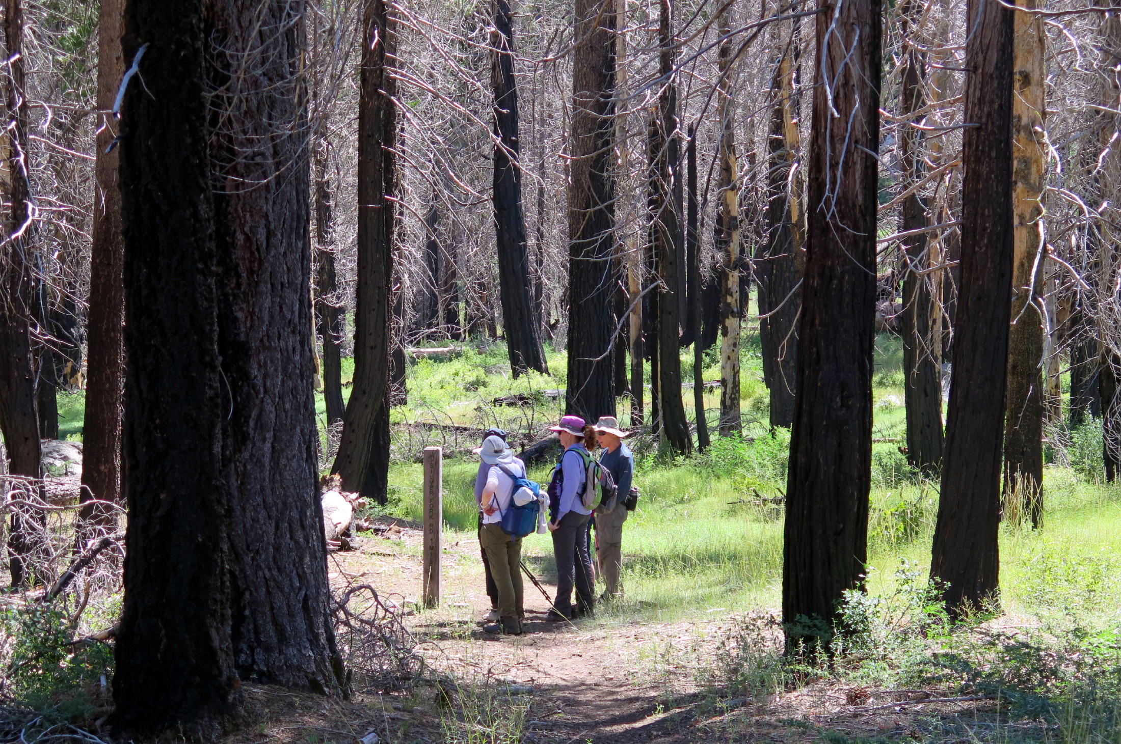
at the start |
|
we took the left part of the loop trail |
|
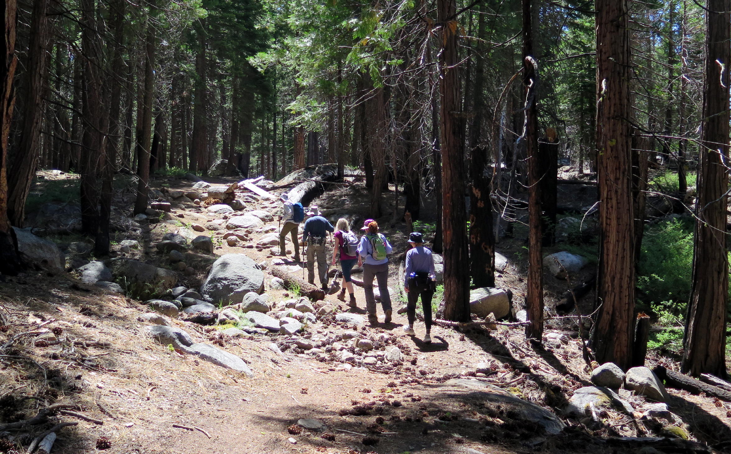
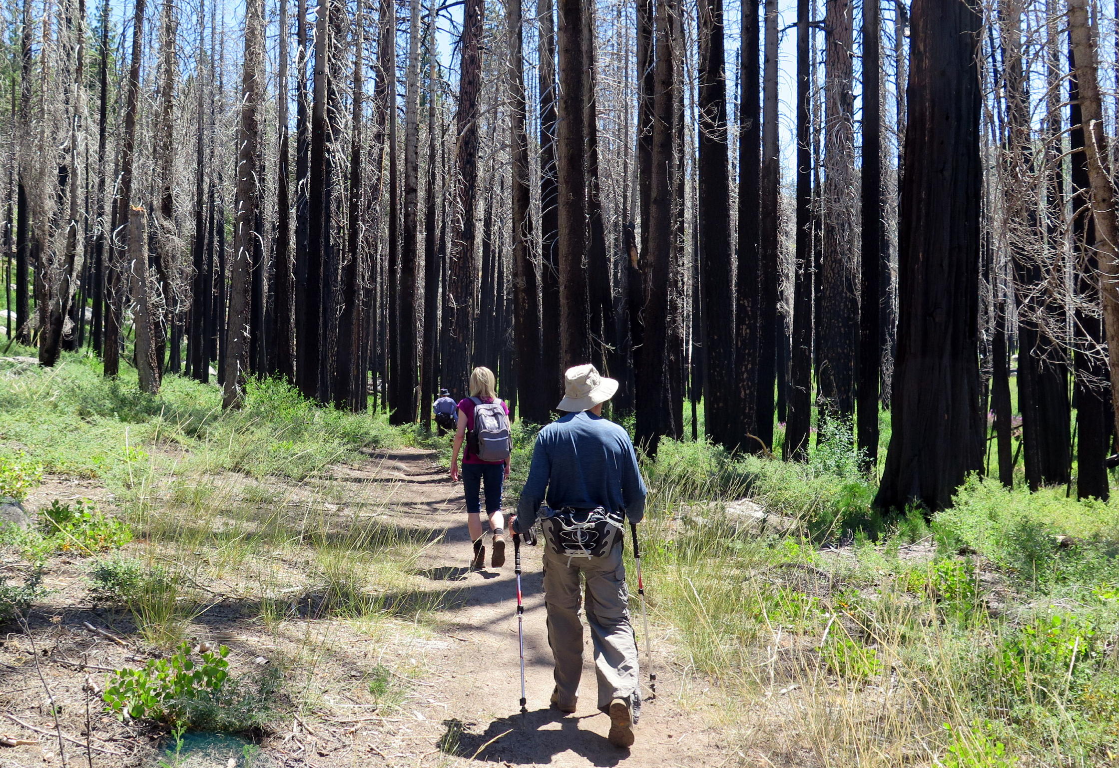
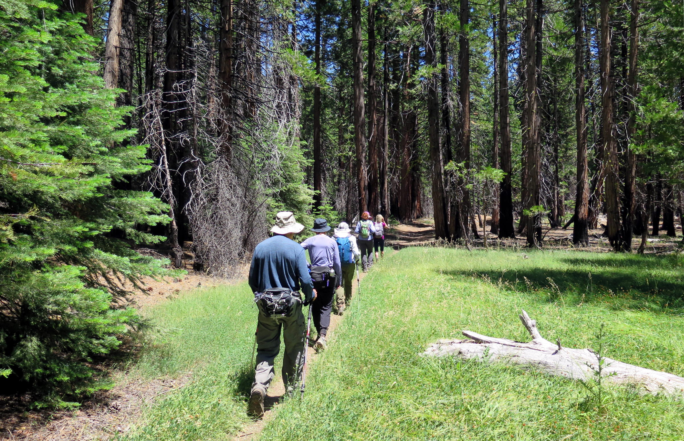
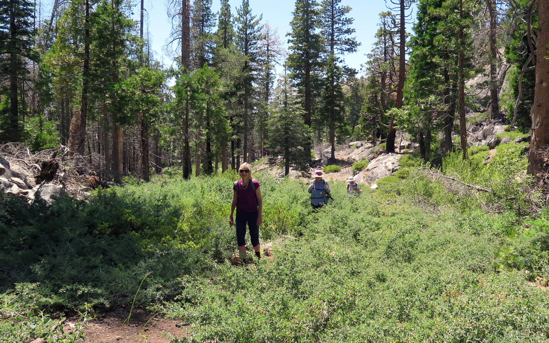
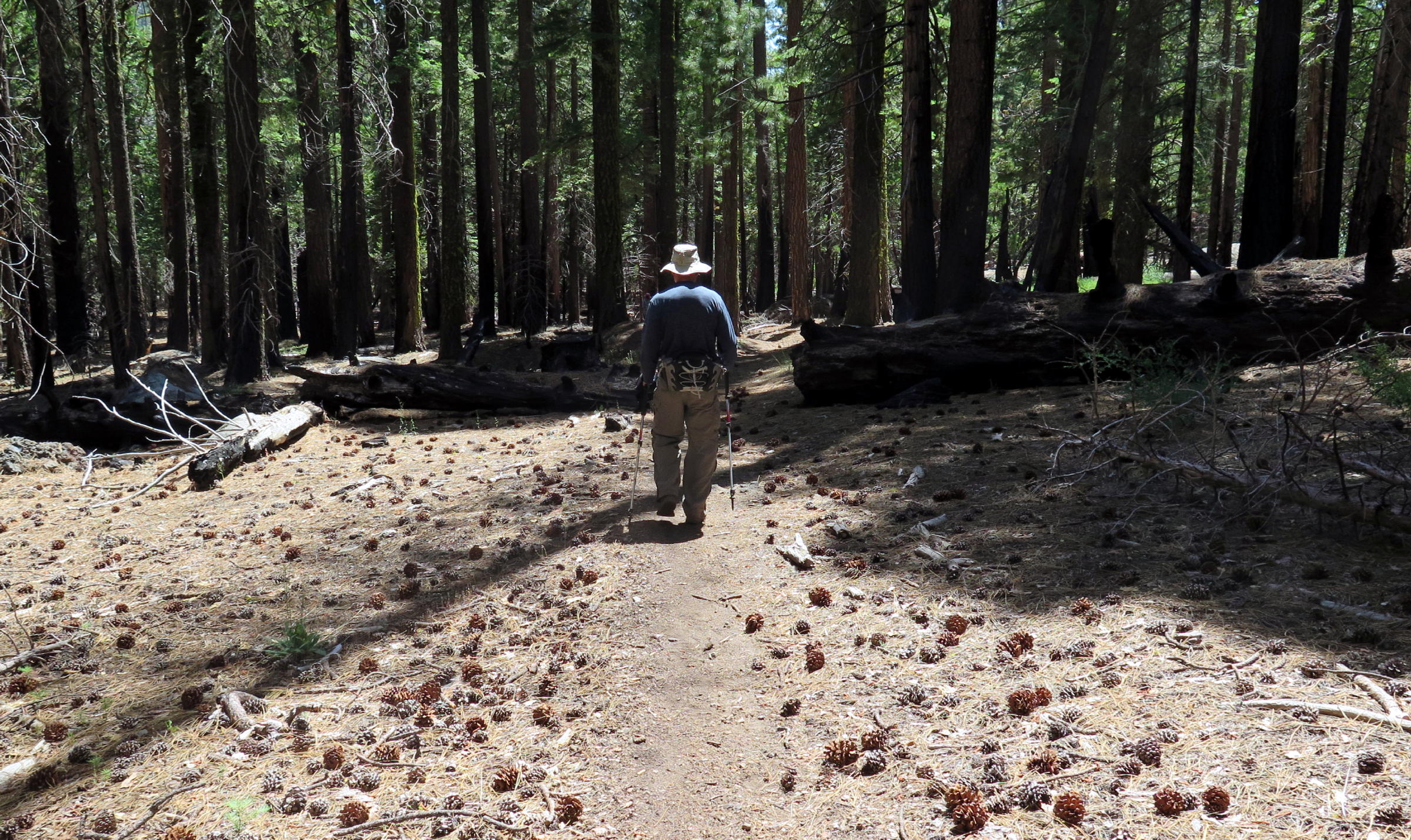
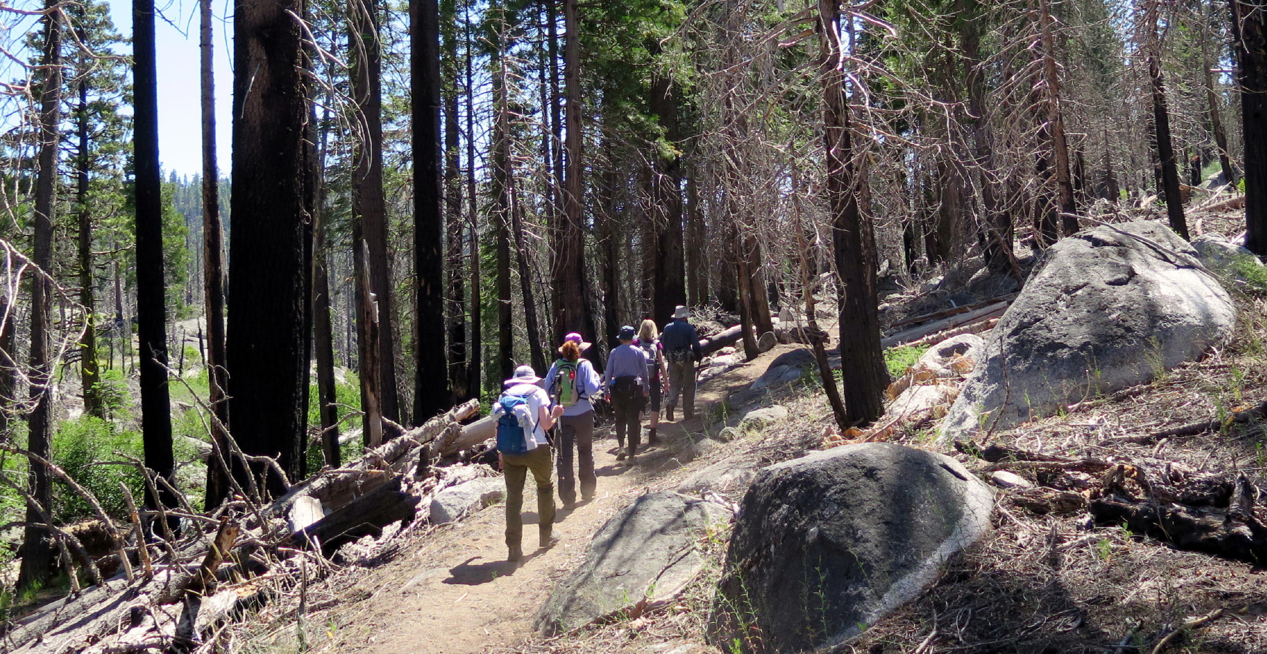
into the woods |
|
|
|
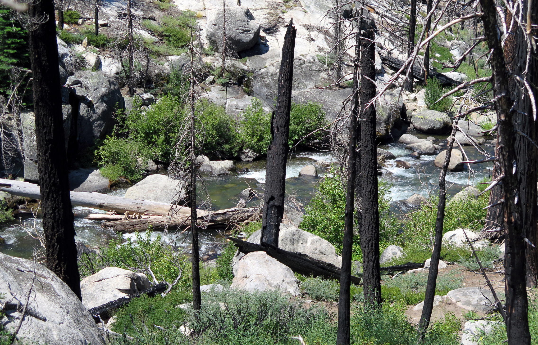
combined creeks |
|
||
|
|
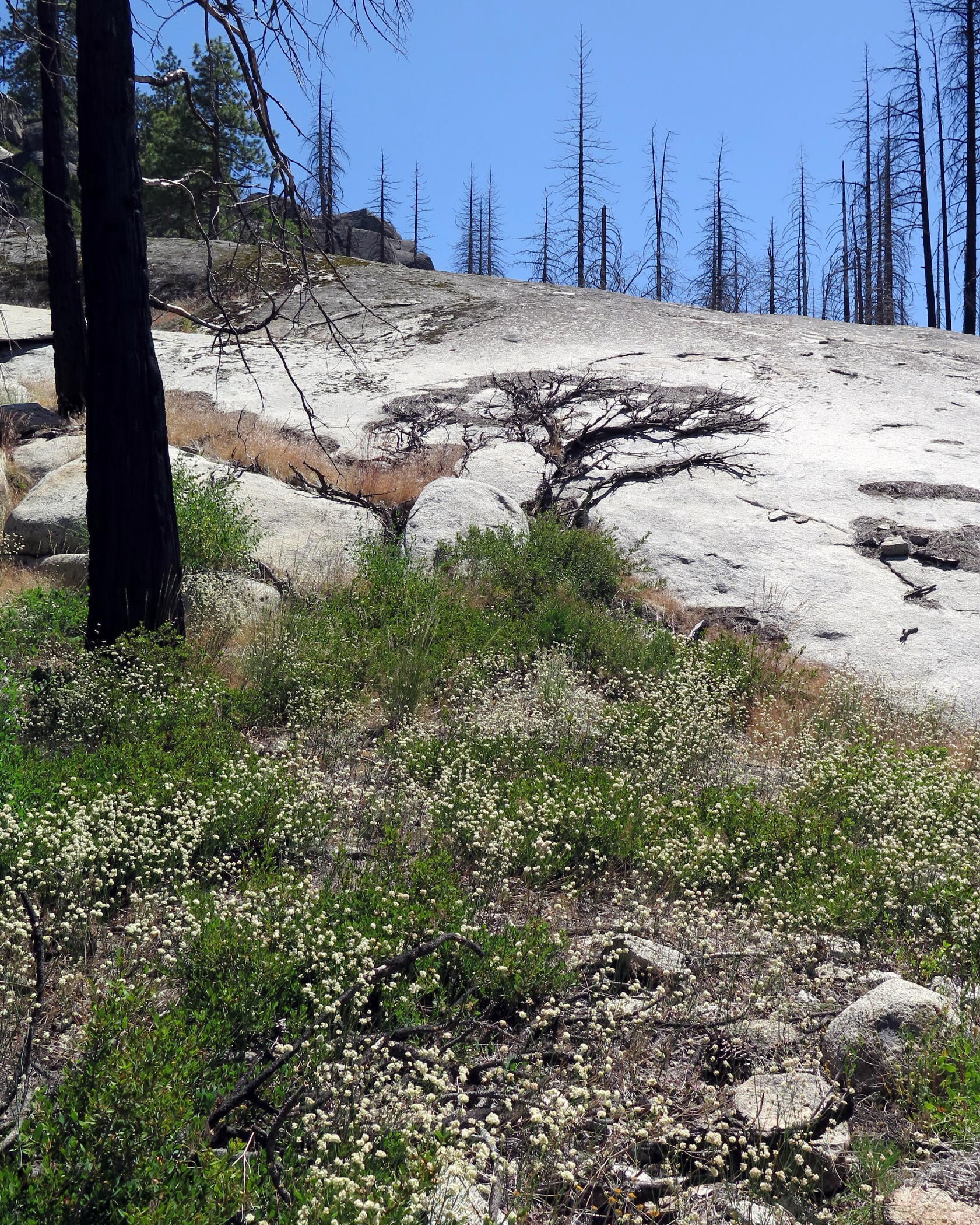
burn area |
|
good to see some granite |
|
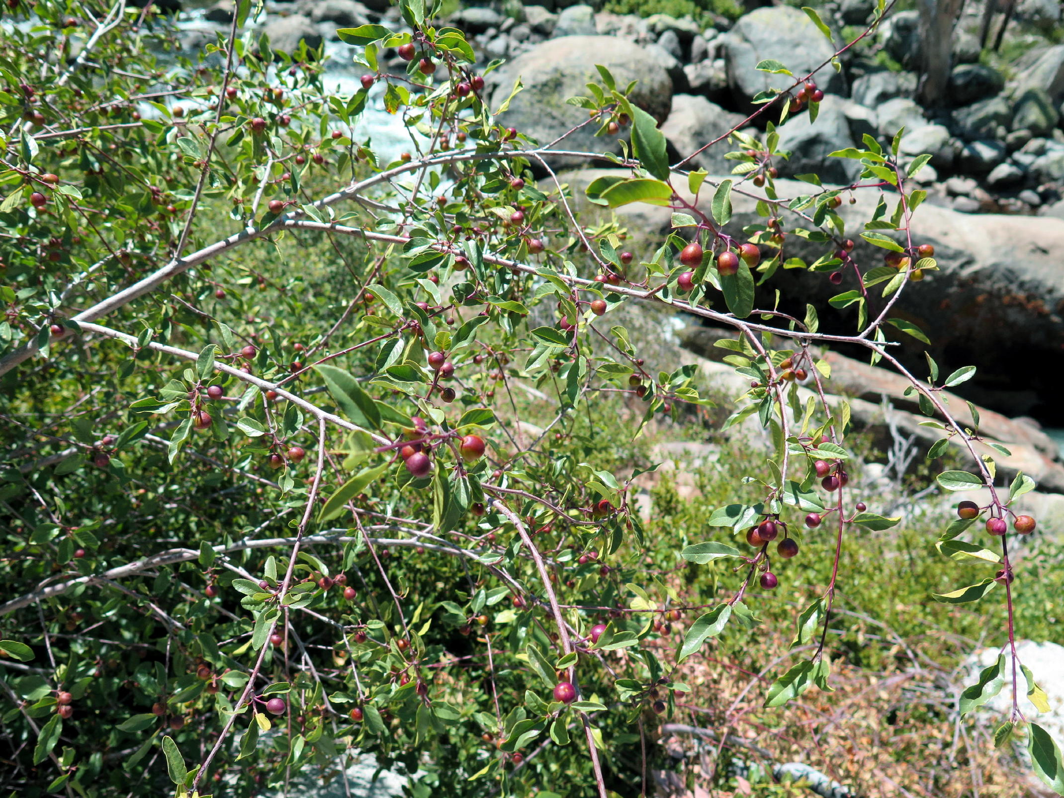
Calif. Coffeeberry |
|
|
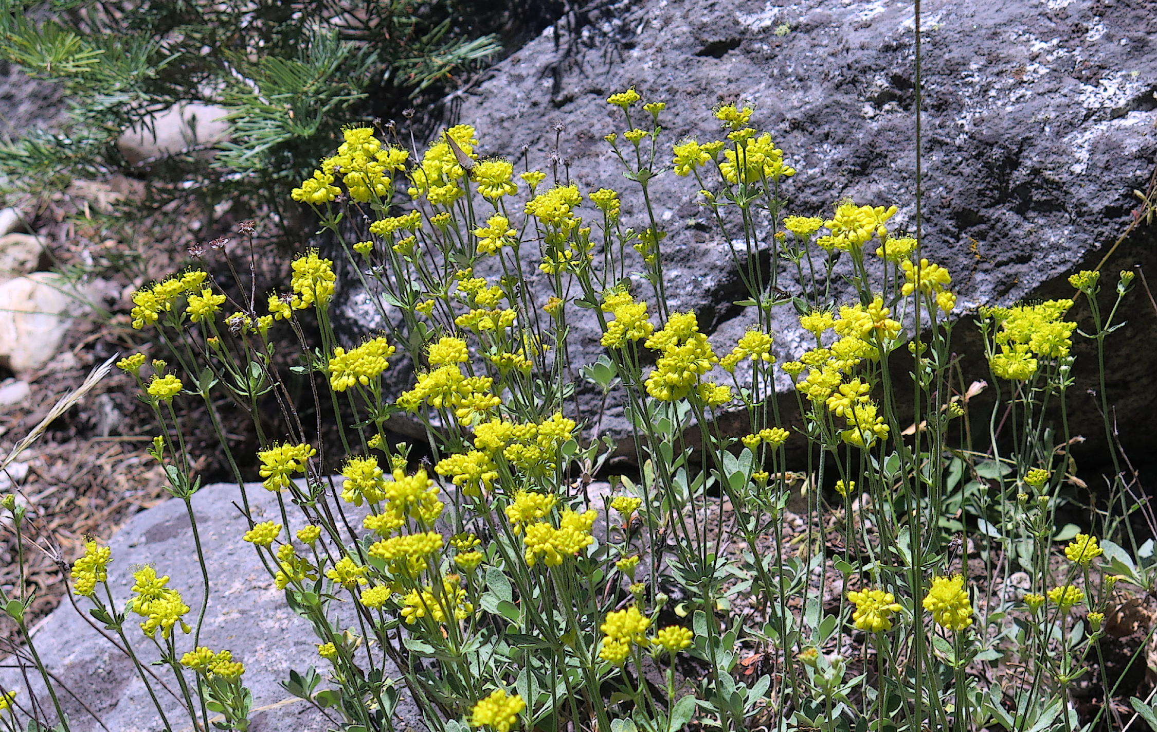
Sulfur Buckwheat |
|
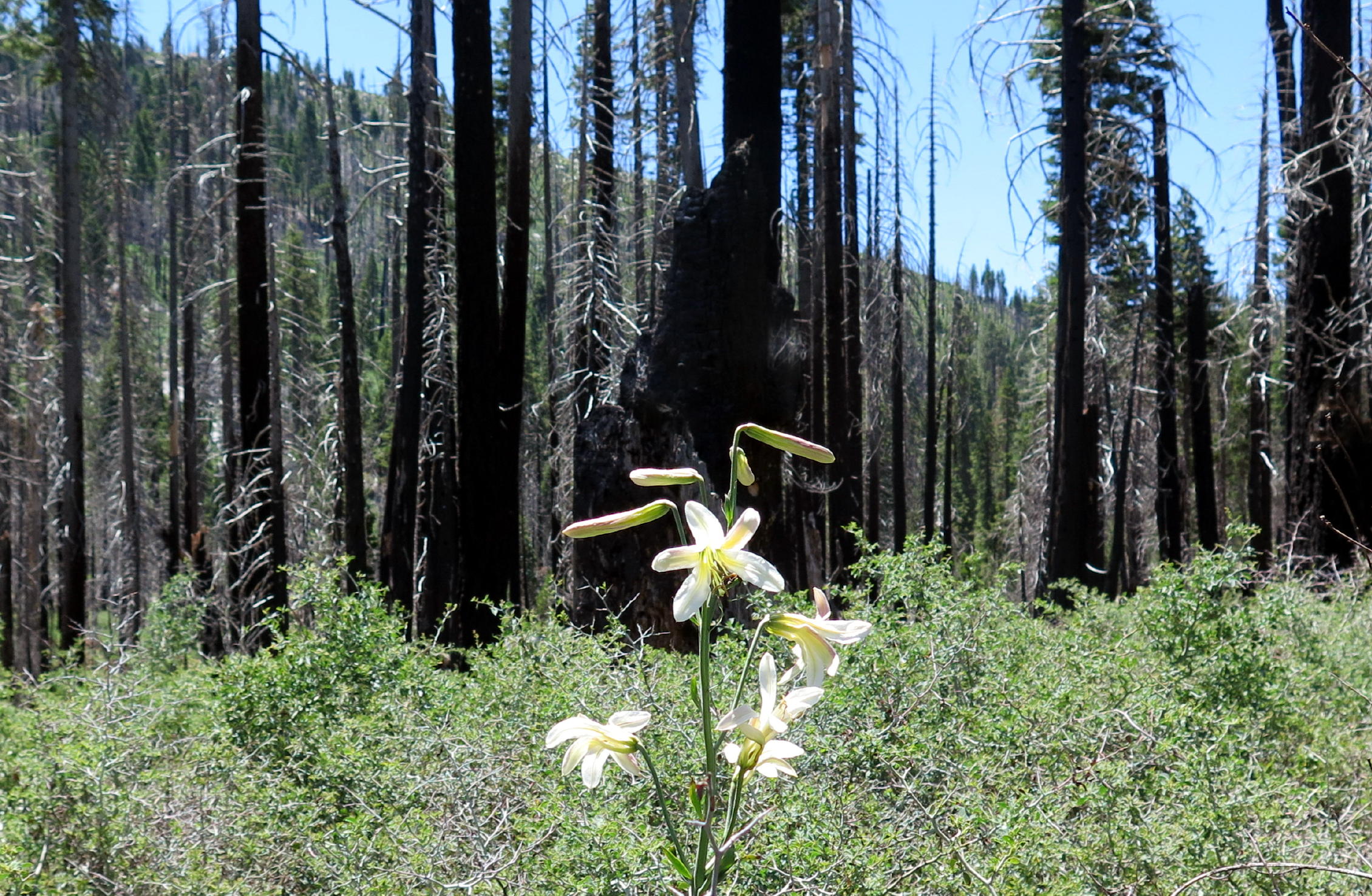
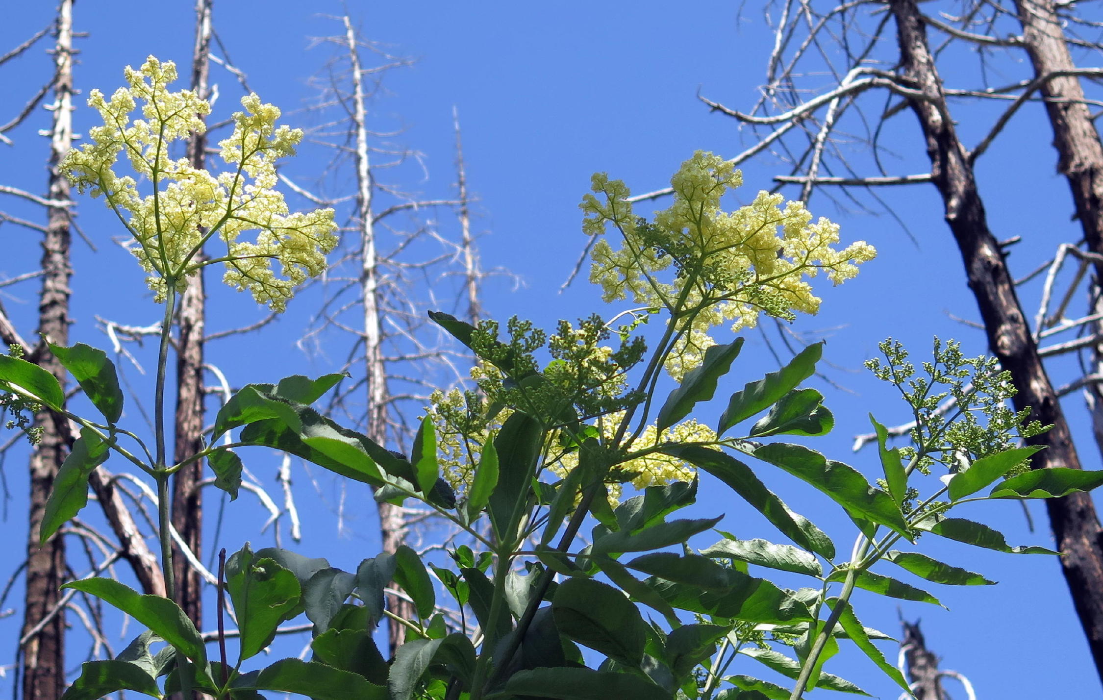
<Tiger Lily & Red Elderberry > |
|
|
|
|
|
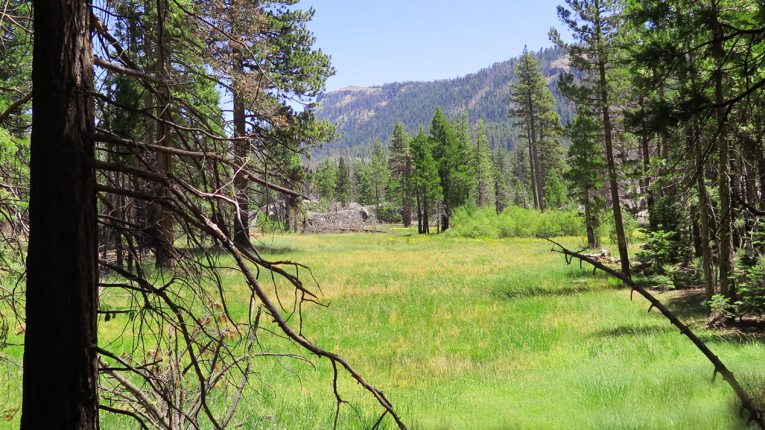
Jake Schneider Meadow |
|
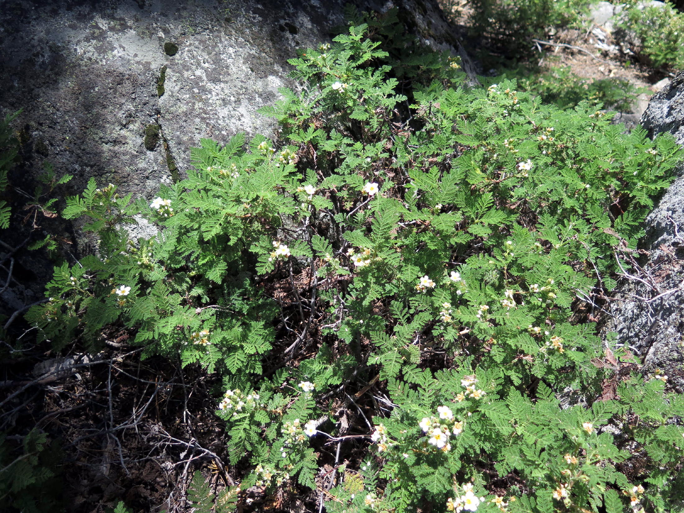
Mountain Misery, see note |
note - early explorers gave the plant this name because it exudes a sticky resin that adheres to clothing, and, the leaves produce a distinctly unpleasant odor when walked upon. It forms a dense low-lying mat & was just about everywhere.
After stopping for lunch in a shady spot, wee walked a little further, getting in an extended uphill section and then turning around at the high point of the hike, about a half-mile from the upper crossing.
 |
reaching the high point of the day |
 |
soon, heading back down |
 |
trail intersection |
 |
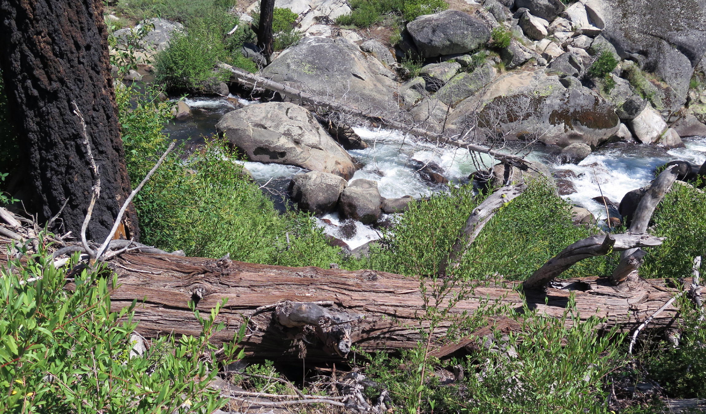 |
next to creek again |
 |
||
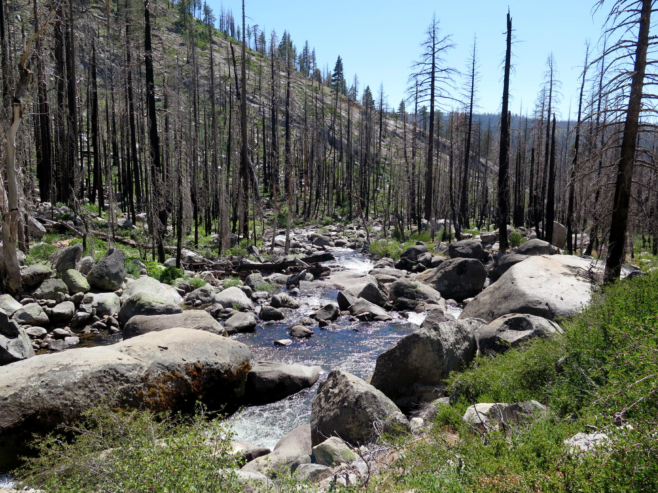 |
Caples Creek |
 |
This was a good walk, with some giant granite steps and other technical aspects, mostly minor. We walked approx. 6.4 miles and gained 800 ft., based on the AllTrails trail preview and map.
Plant names are from Picture This.
Postscript -
On the return drive, the group stopped in Pollock Pines to revisit the C&T Mexican restaurant, a family run operation. Many of the hikers had enjoyed this place before the Covid interruption. The restaurant survived as a breakfast only place for a long time and only recently added evening hours.
The food here was great !
return to index