Snodgrass Slough Trail & Cosumnes River Preserve - Jan. '26
return to index
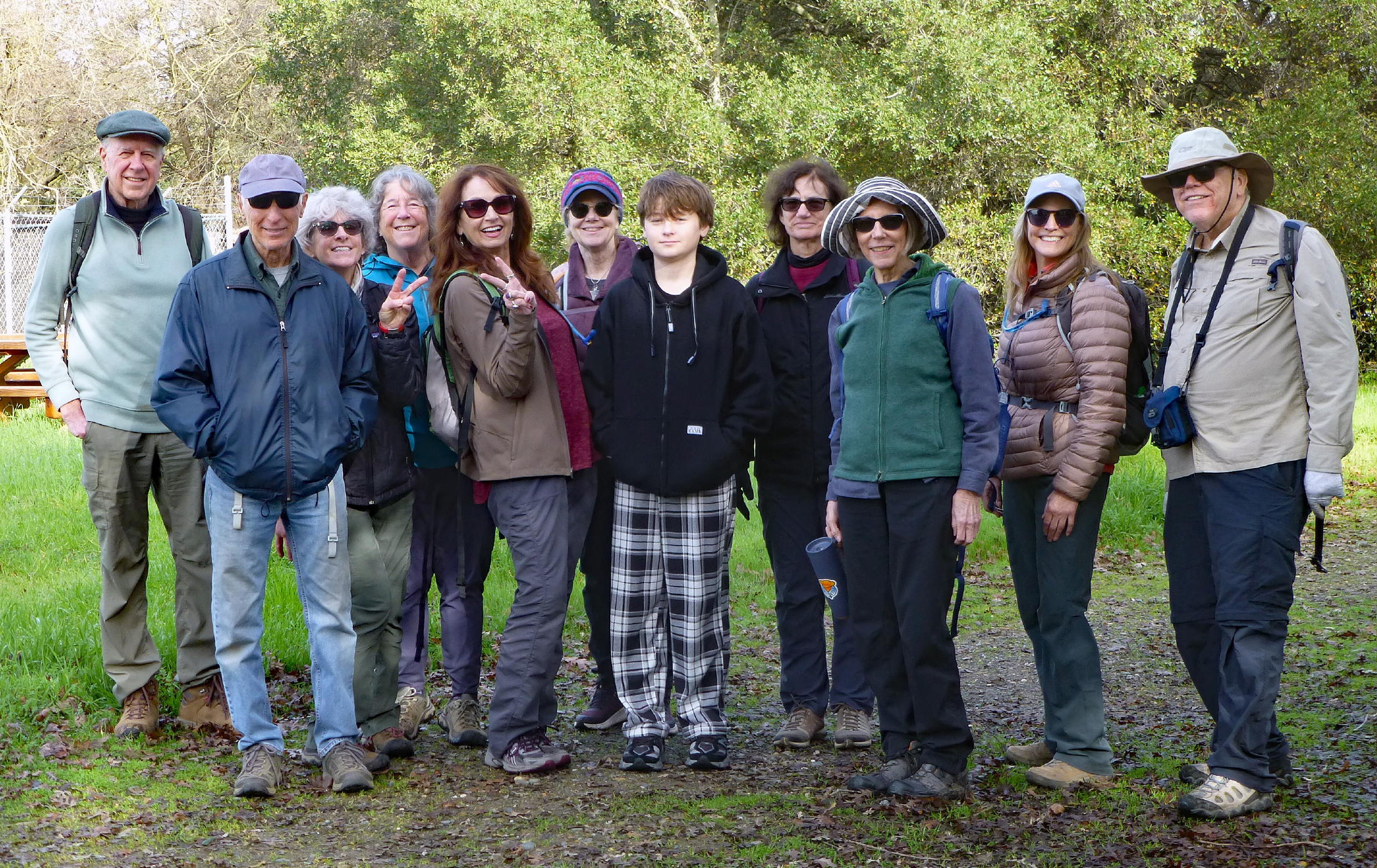
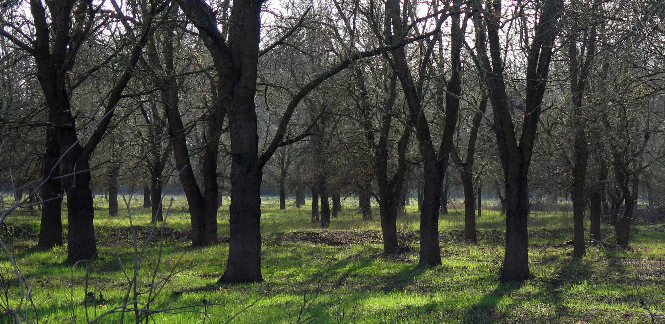
On Friday, January 2nd, eleven of us met for coffee at Rescate in Elk Grove (at I-5.), afterwards driving 15 miles south to Walnut Grove, for a walk on the Snodgrass Slough levees. Our first walk here was a year ago.
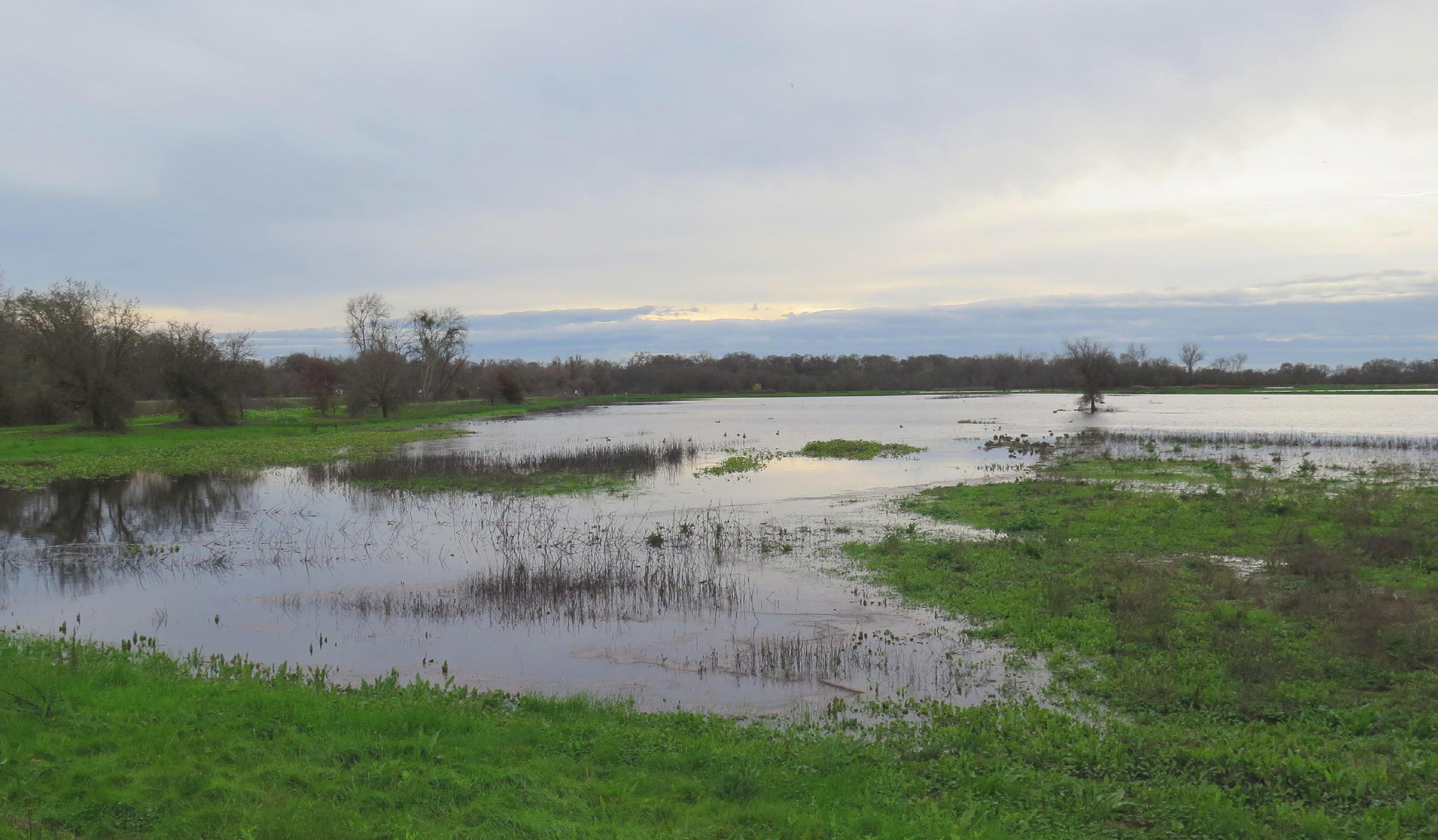
The extensive slough is tidal, fed by the Sacramento River at a Cross Channel Gate, at Locke. We parked near the gate structure, not especially photogenic. Due to a rainy storm season so far, the river was fairly high, as was the slough.
For the hikers it was a lucky break, having enough time for two walks in one day, in between storm systems.
note - on a pc or laptop you can zoom into any part of a photo, but alas, not on a smartphone.
|
|
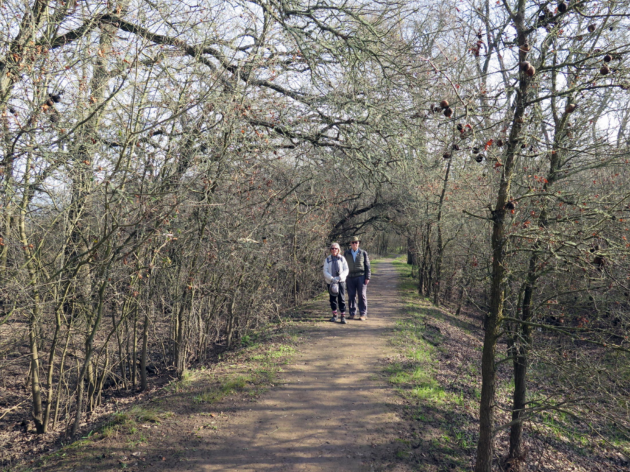
the group, see note 1 |
|
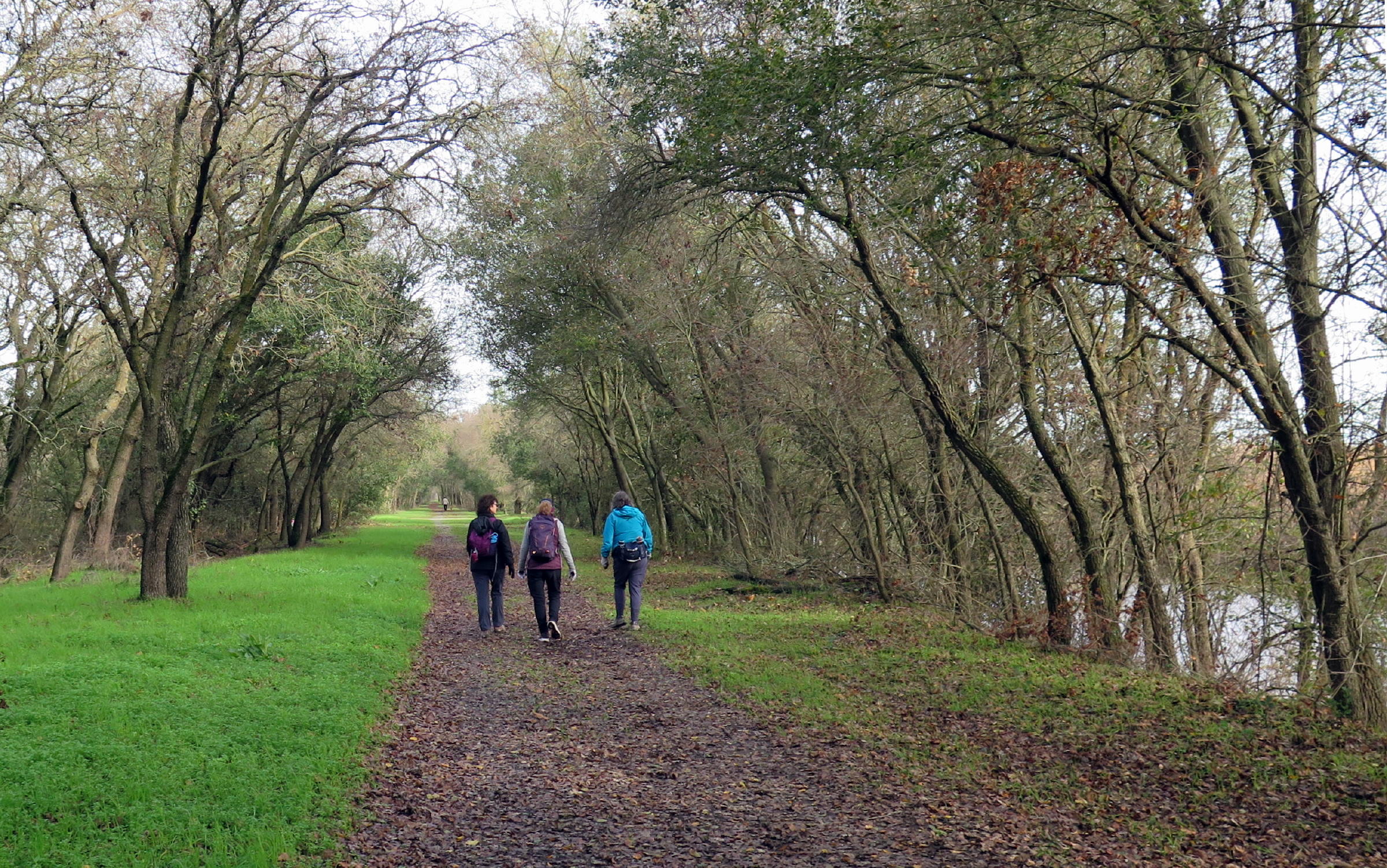
heading north |
|
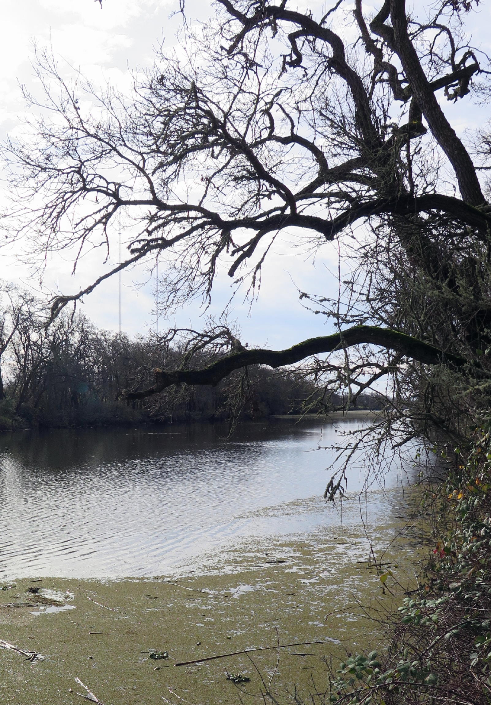
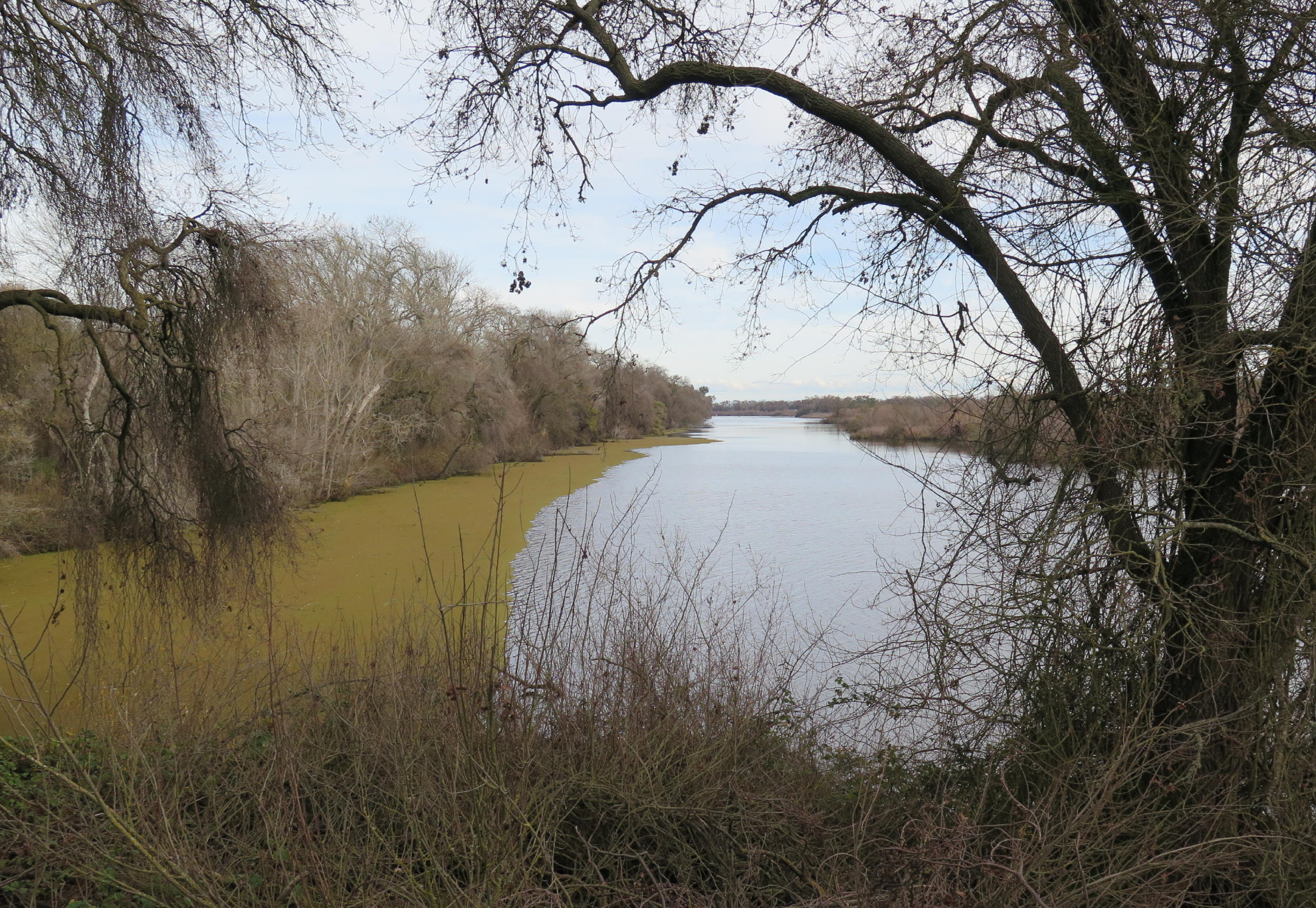
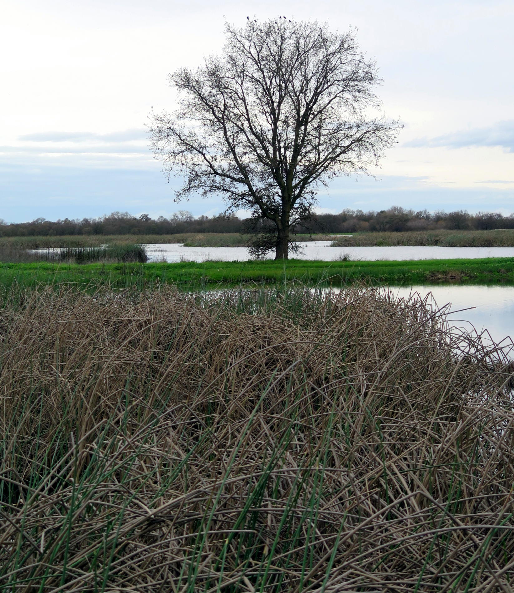
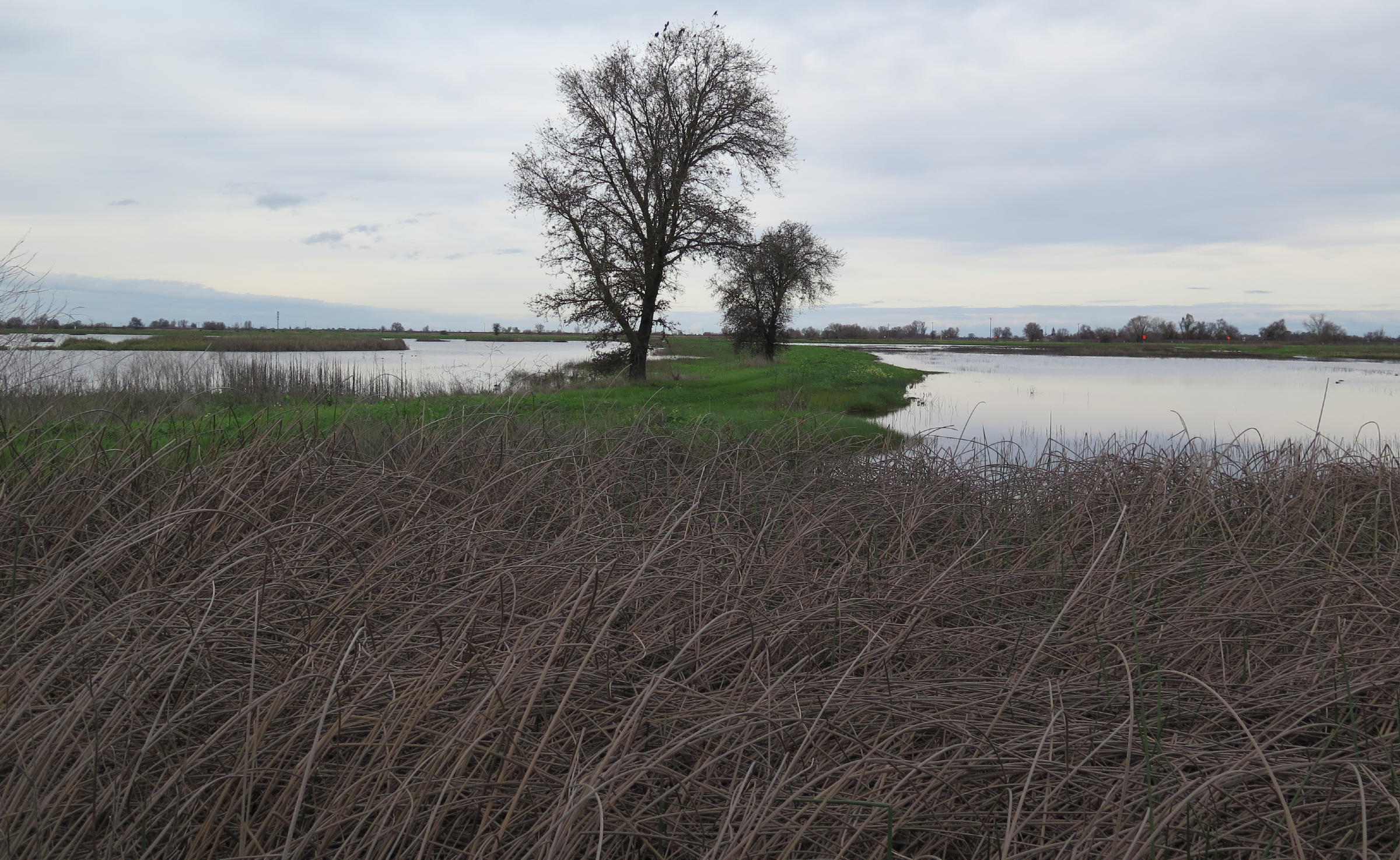
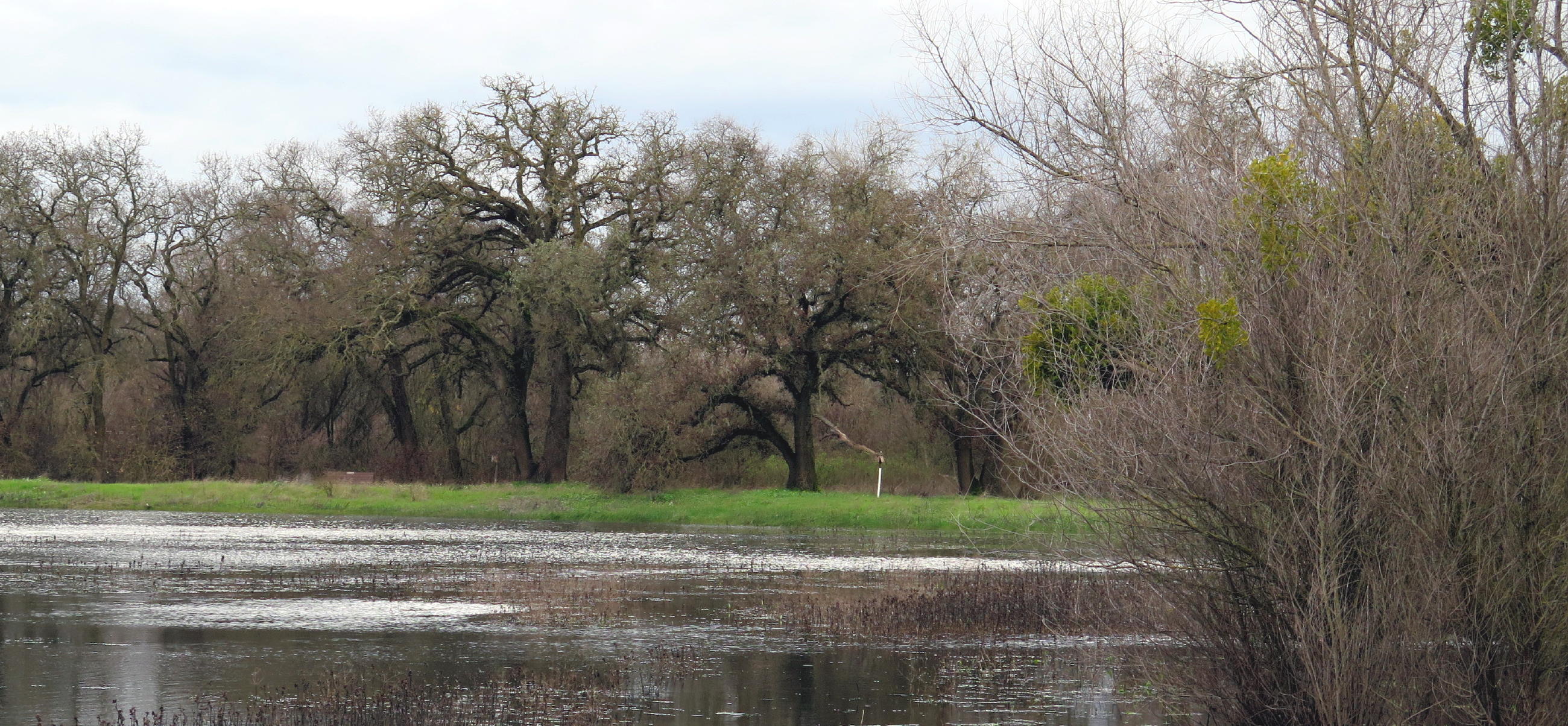
Snodgrass Slough |
|
|
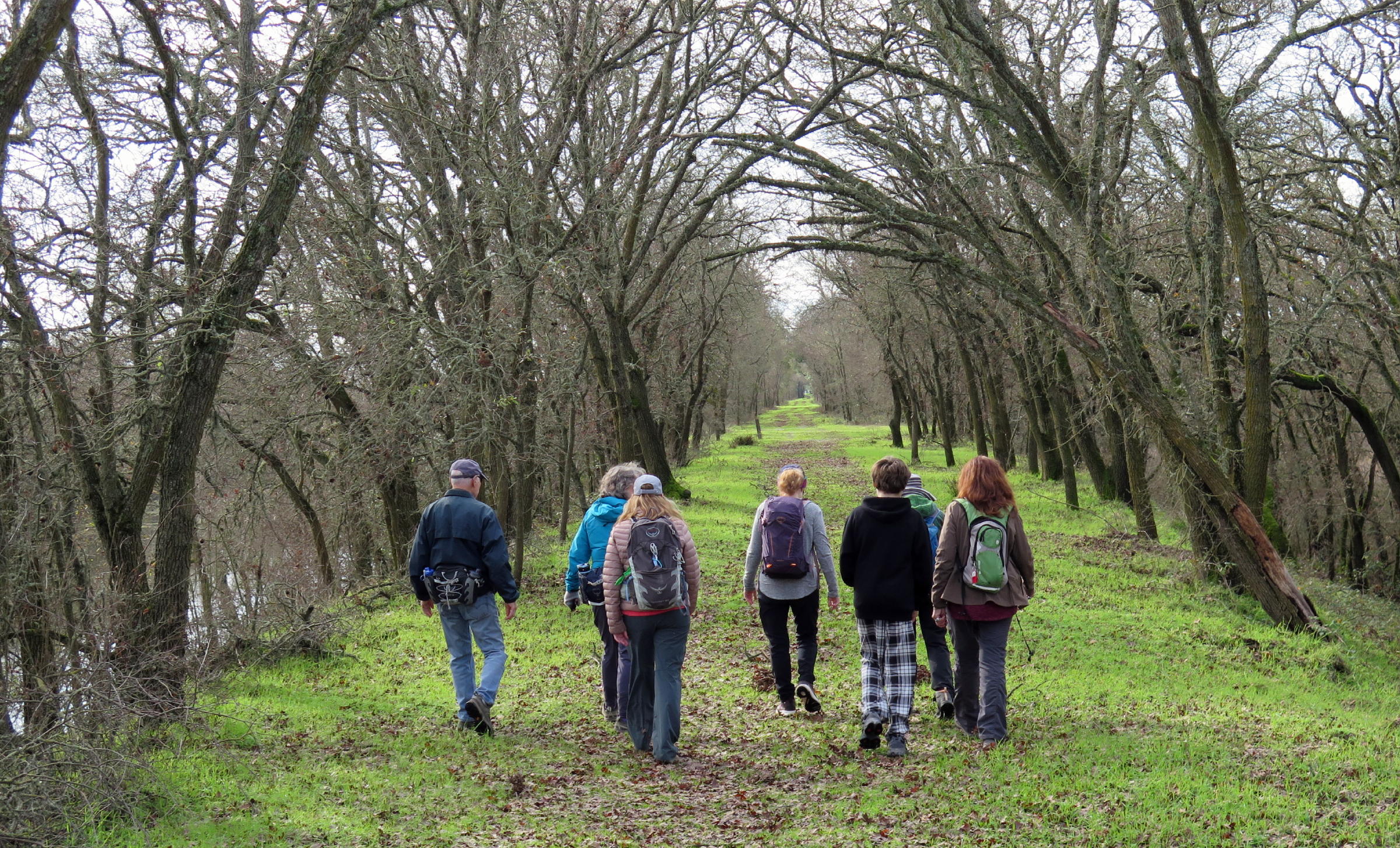
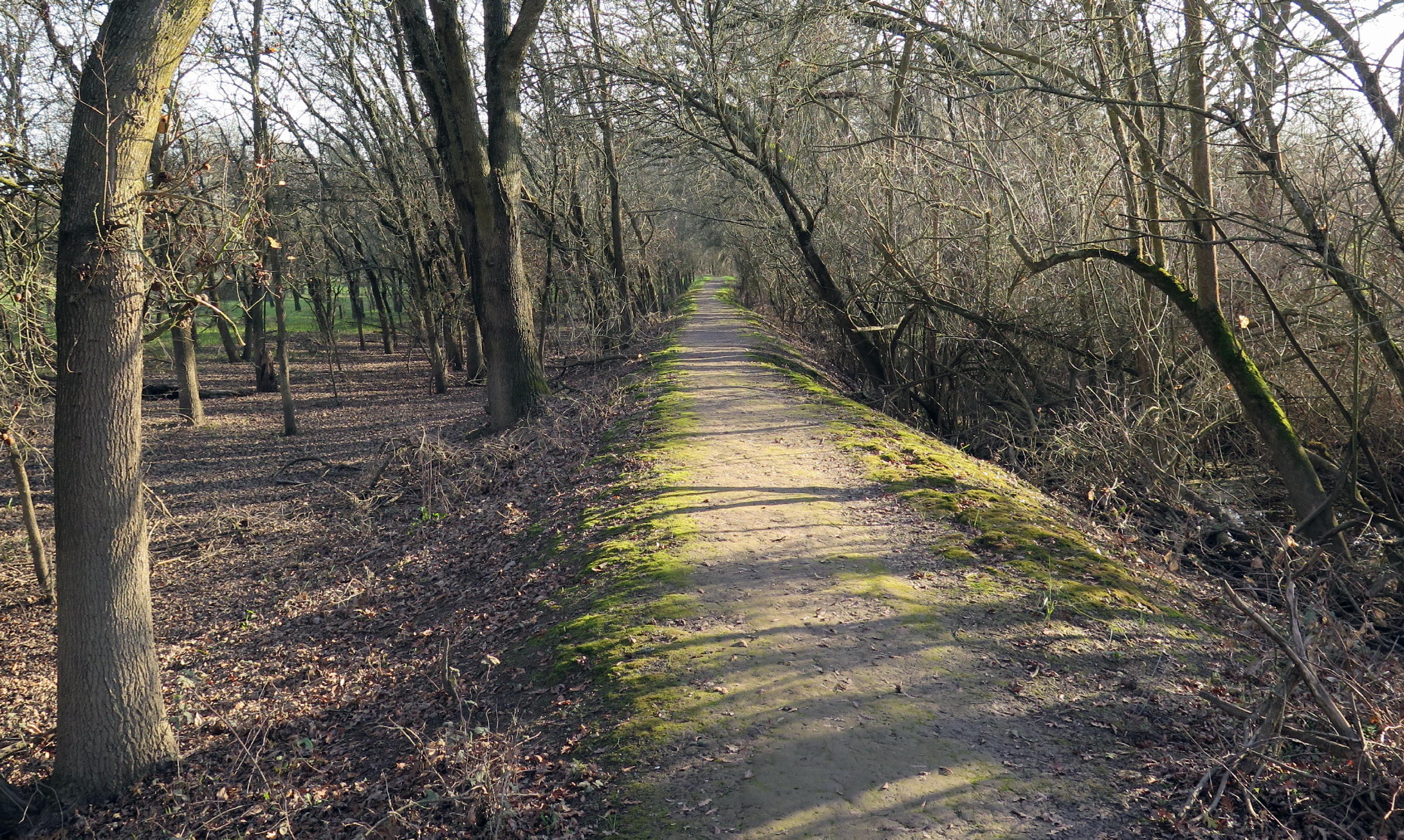
heading south |
|
|
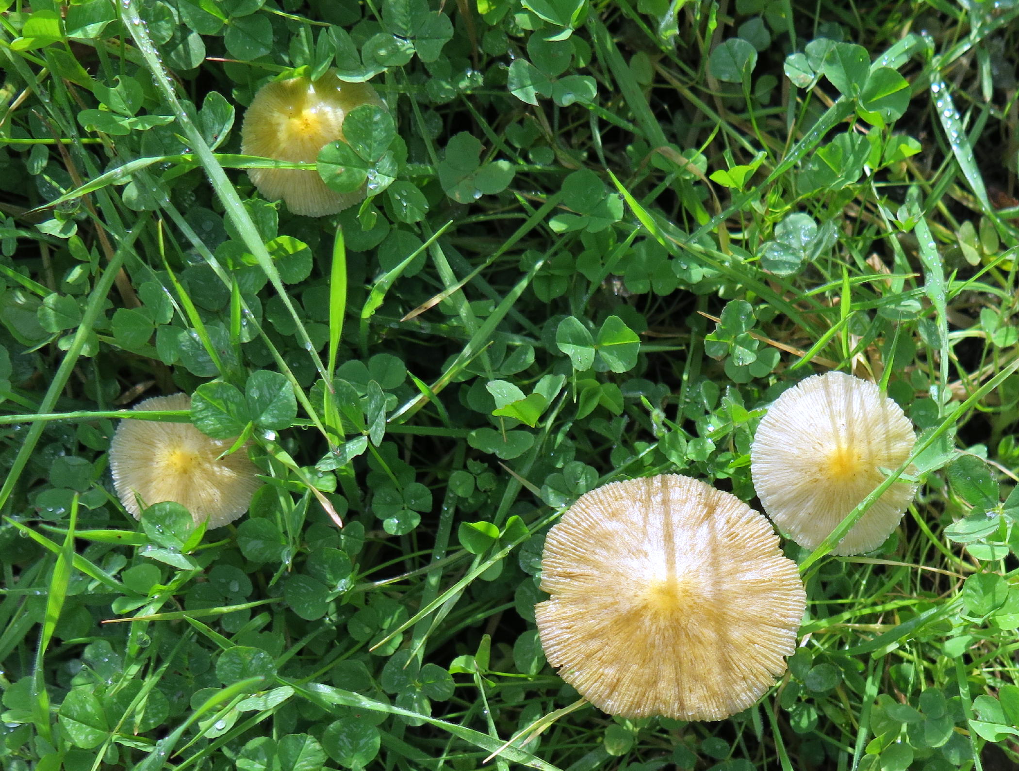
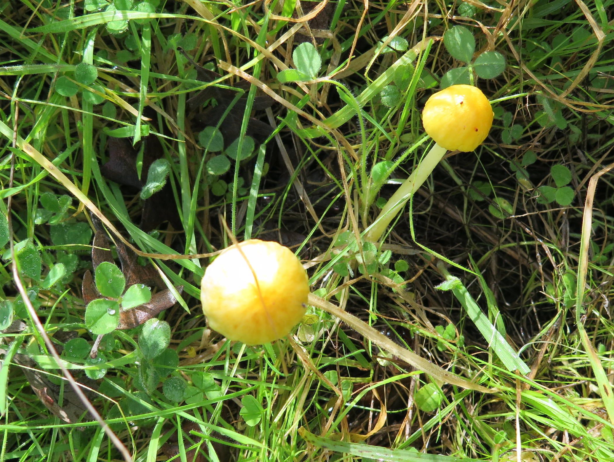
same mushroom, see note 2 | |
|
|
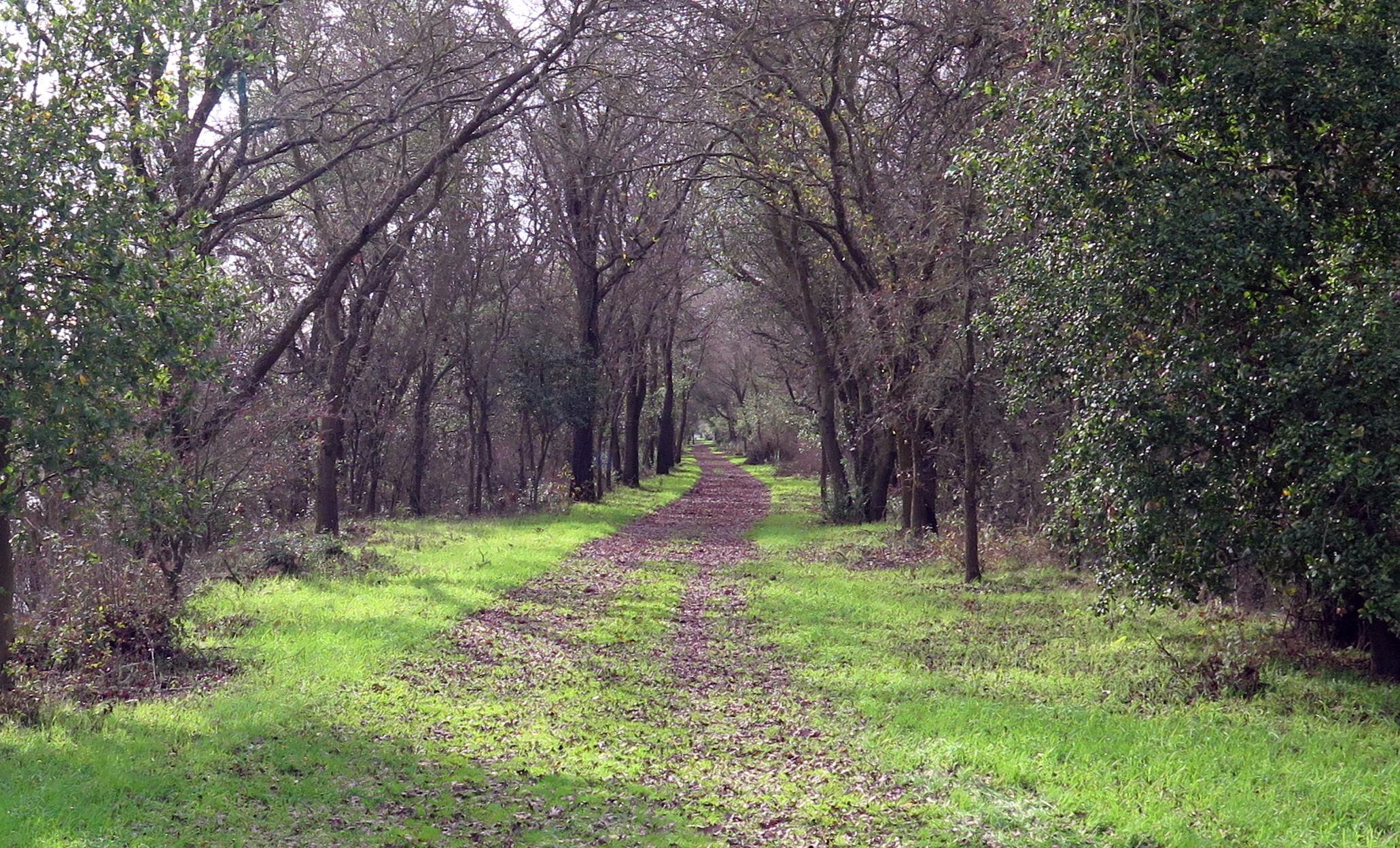
the way back (further south) |
|
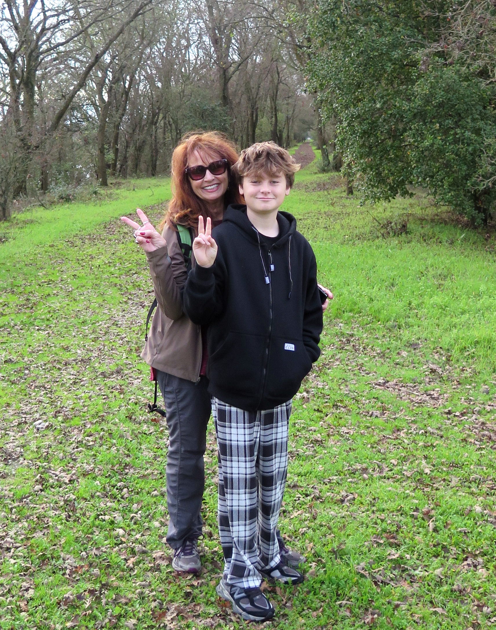
Linda and Dominic heading home early |
|
heading west |
|
|
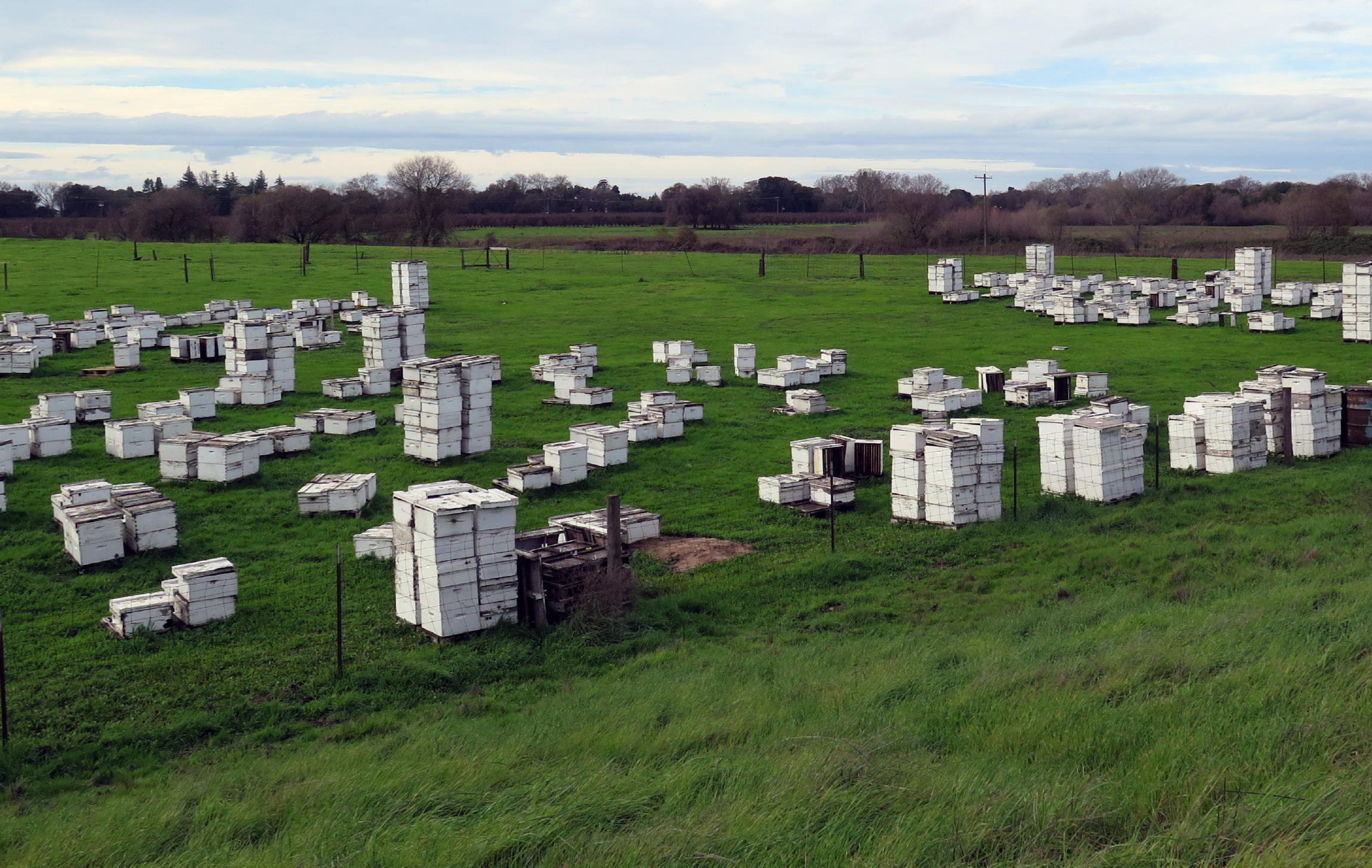
(dormant) bee boxes |
|
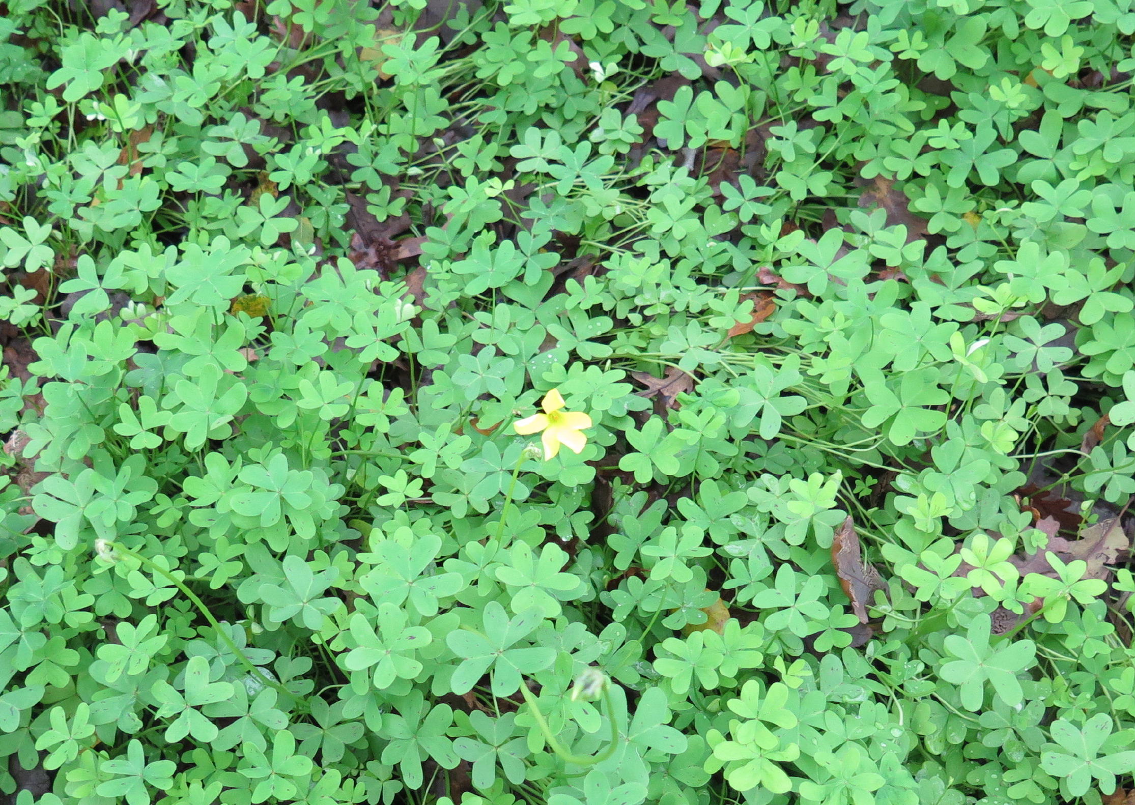
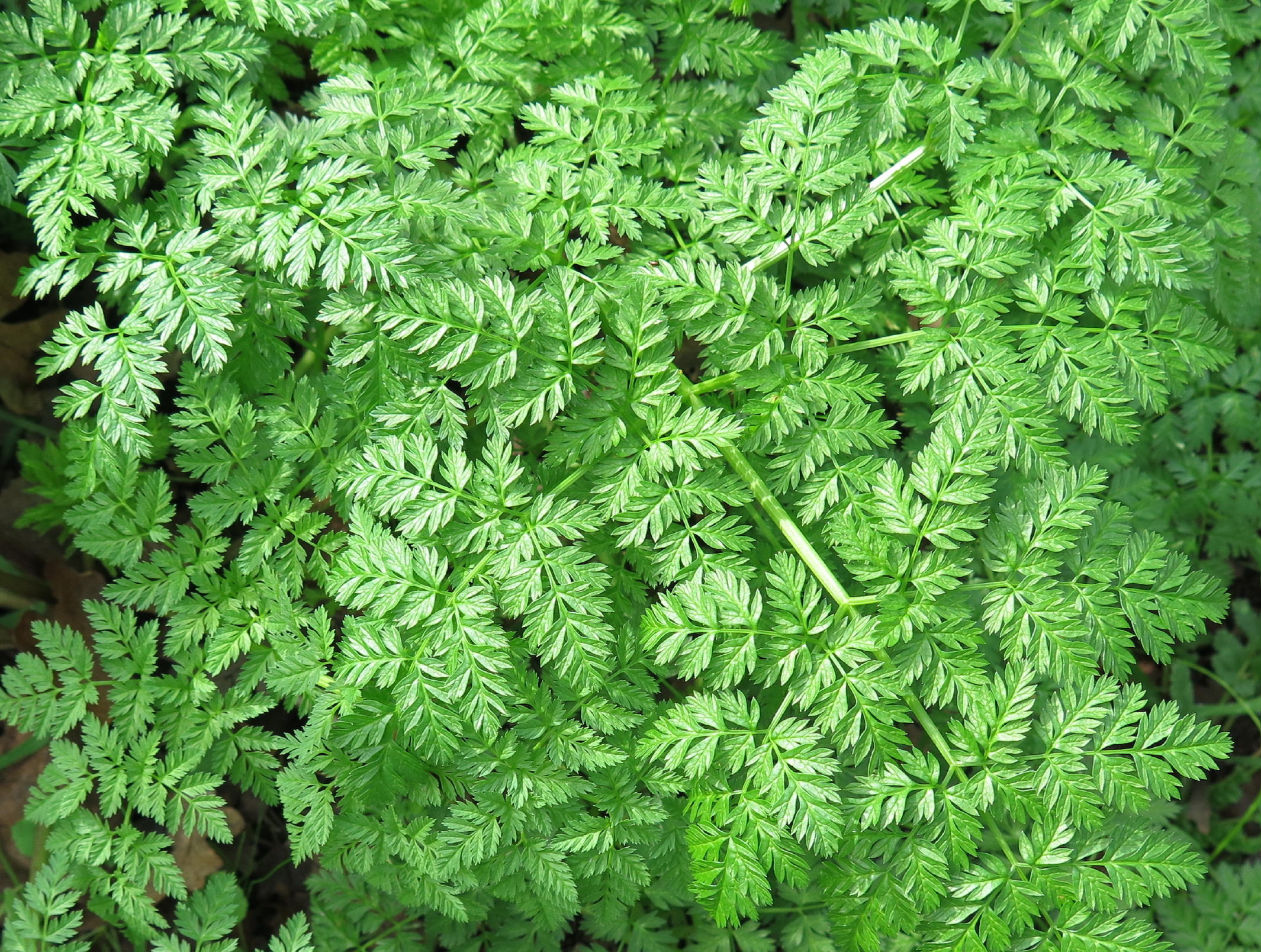
< Bermuda buttercup & poison hemlock > |
|
|
|
|
the slough, looking east |
|
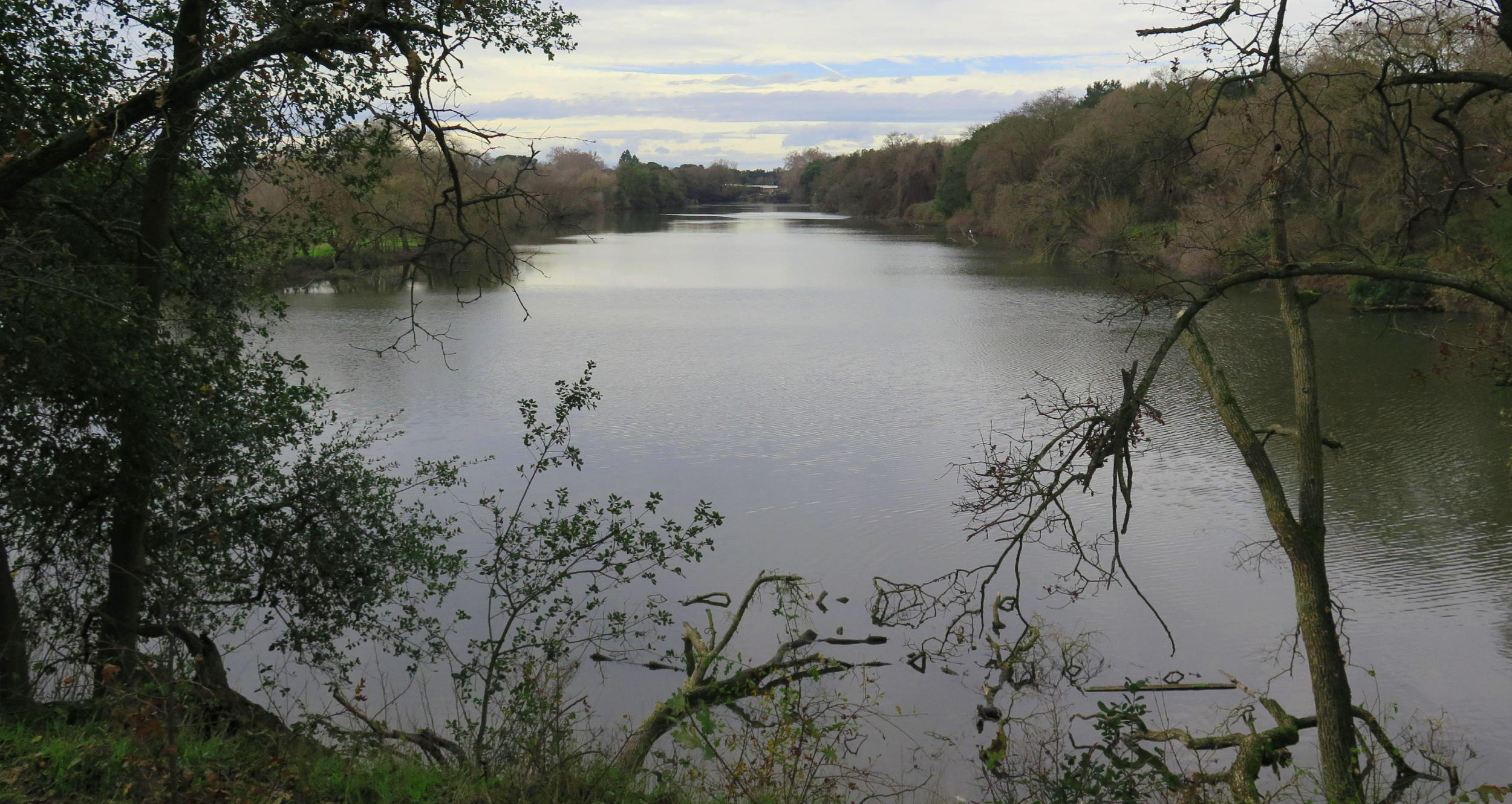
looking north, note 3 |
|
|
|
|
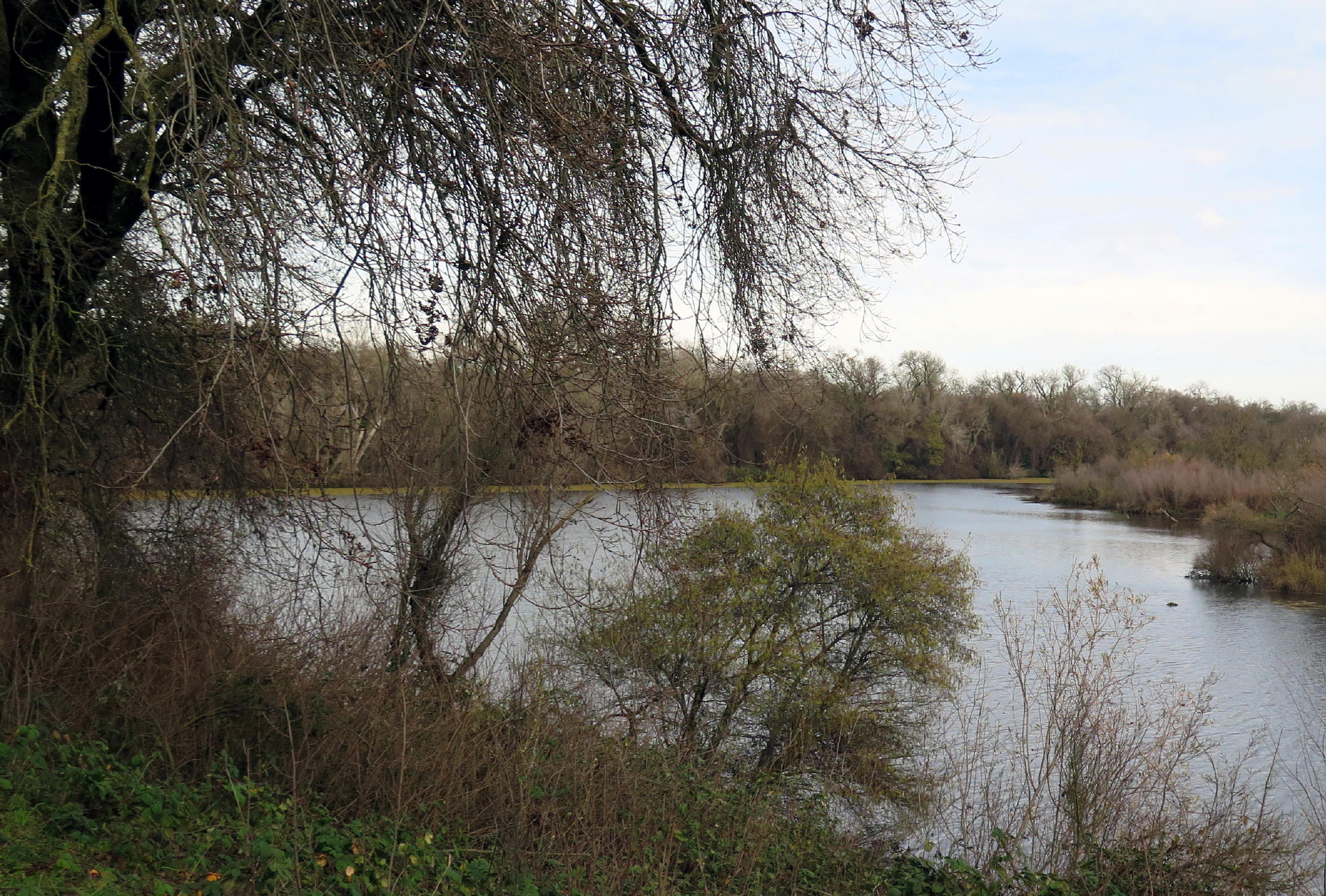
same area a year ago |
note 1 - R2L: Frank, Karen, Jean, Barb Go., Dominic, Cynthia, Linda, Marcia, Barb Gr., Rick, and me; photo provided by Frank.
note 2 - Bolbitaceae mushrooms are usually hallucinogenic, and some varieties are poisonous to eat, or even to touch ! (I wonder who figured that out?)
note 3 - At the top center of this photo the Twin Cities bridge can be seen, but we didn't get that far today. In Dec. 24 we crossed that road & walked another half mile north.
note 4- speaking of poison, Hemlock seeds & roots are always poisonous, but tender spring leaves are, too.
Cosumnes River Preserve, new to some of the group, was only a short drive away.
Being on the Pacific Flyway means this is a great place for bird watching in winter months. The highlight here are Sandhill Cranes, with a seven foot wing-span, often flying in low formations, making a unique high-pitched 'cackle', a great thing to see & hear (more Crane info below).
The only Cranes we saw were feeding in the fields along Desmond Rd., some distance from the main set of lakes.
 |
CRP, see note 1 |
 |
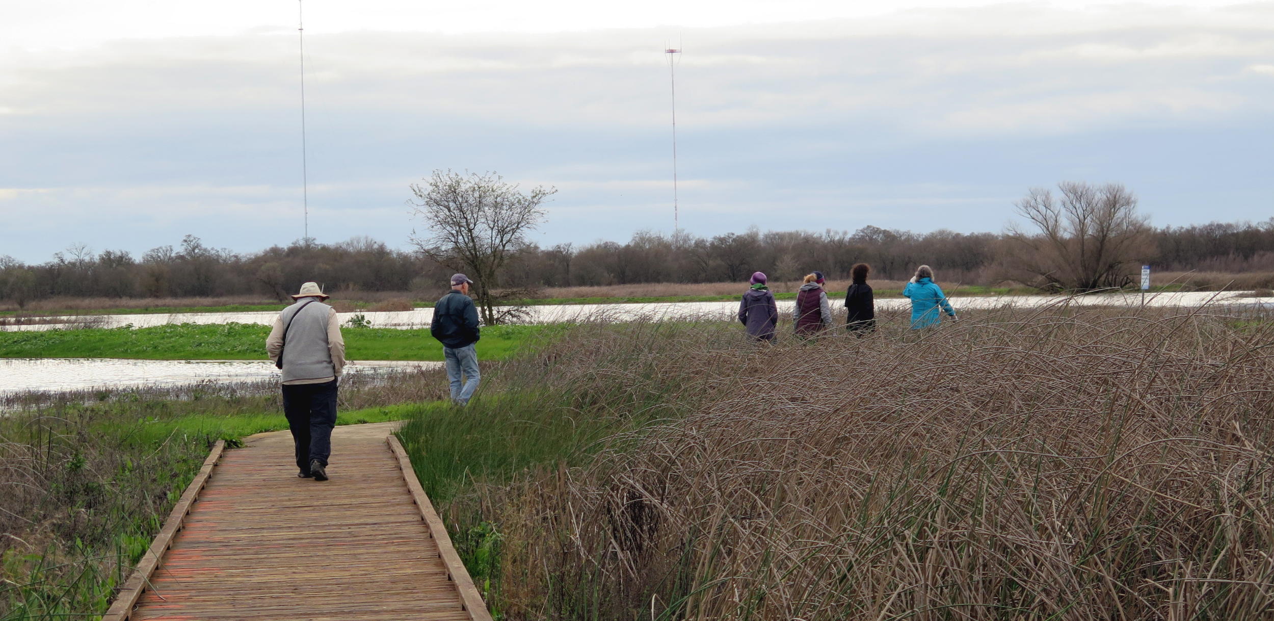 |
on the boardwalk, see note 2 | |
 |
 |
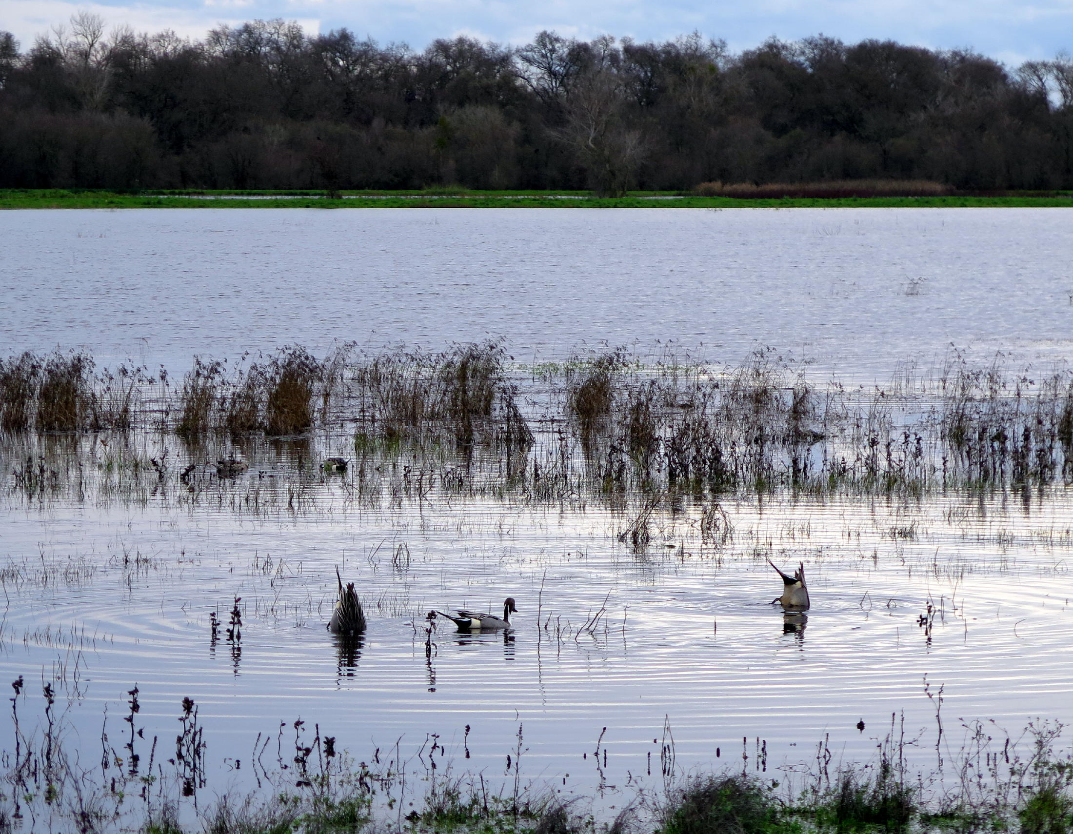
northern pintails feeding |
 |
||
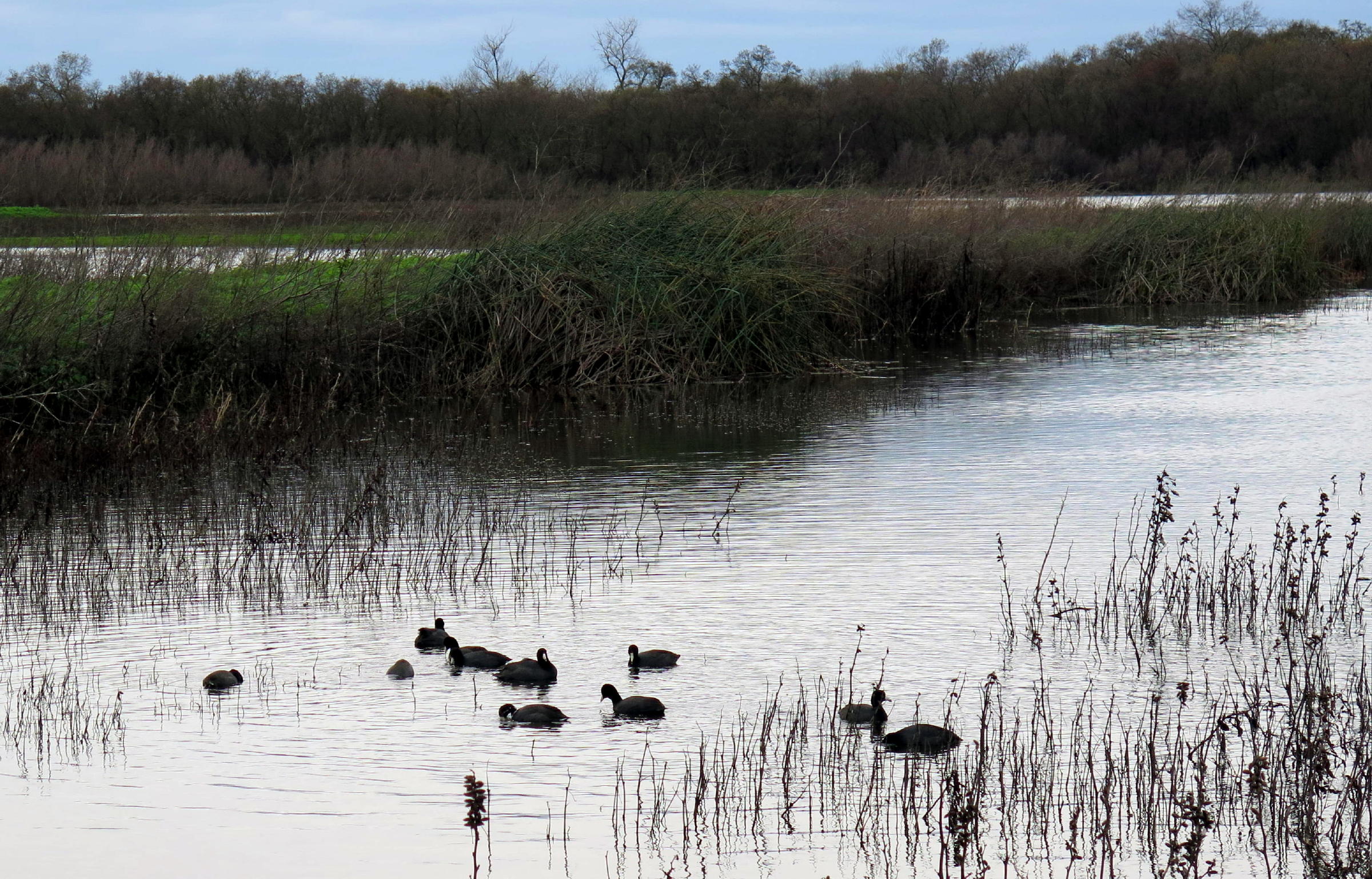 |
coots |
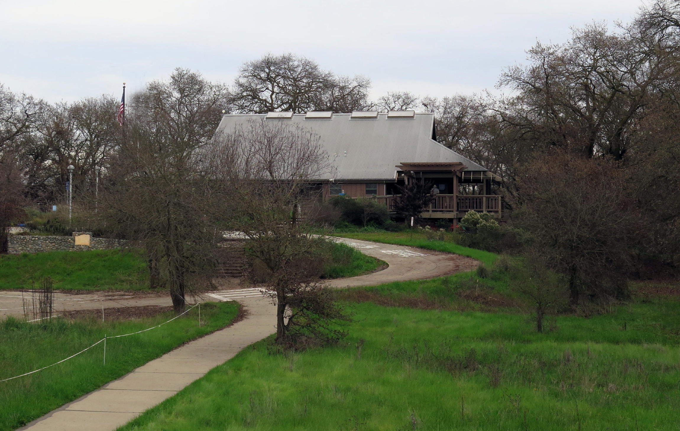 |
CRP Visitor Center |
 |
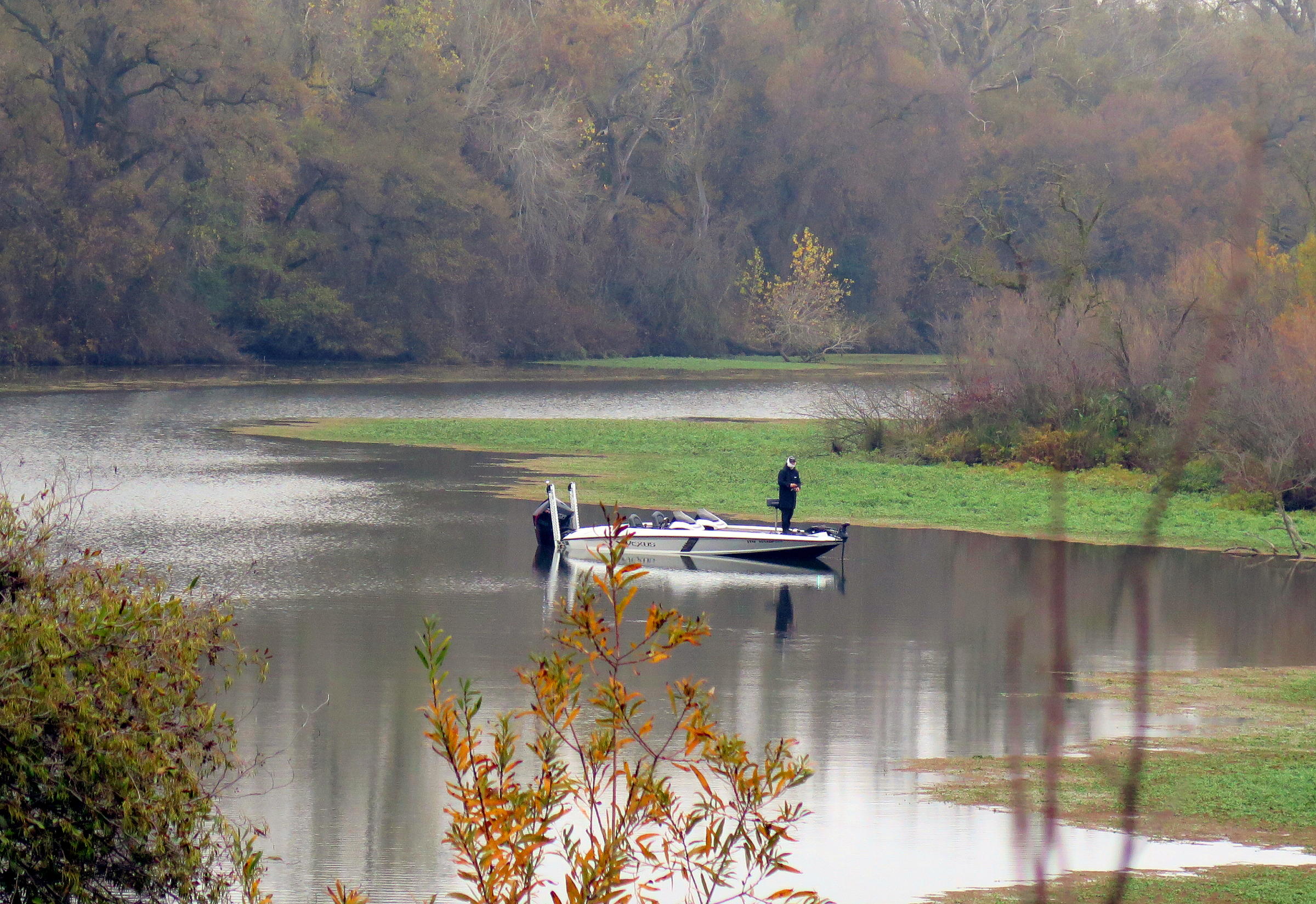
pond to the east of the visitor center |
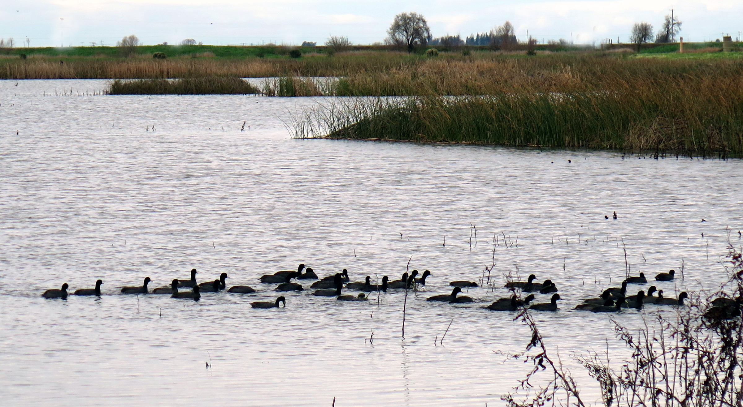 |
Coots on the move |
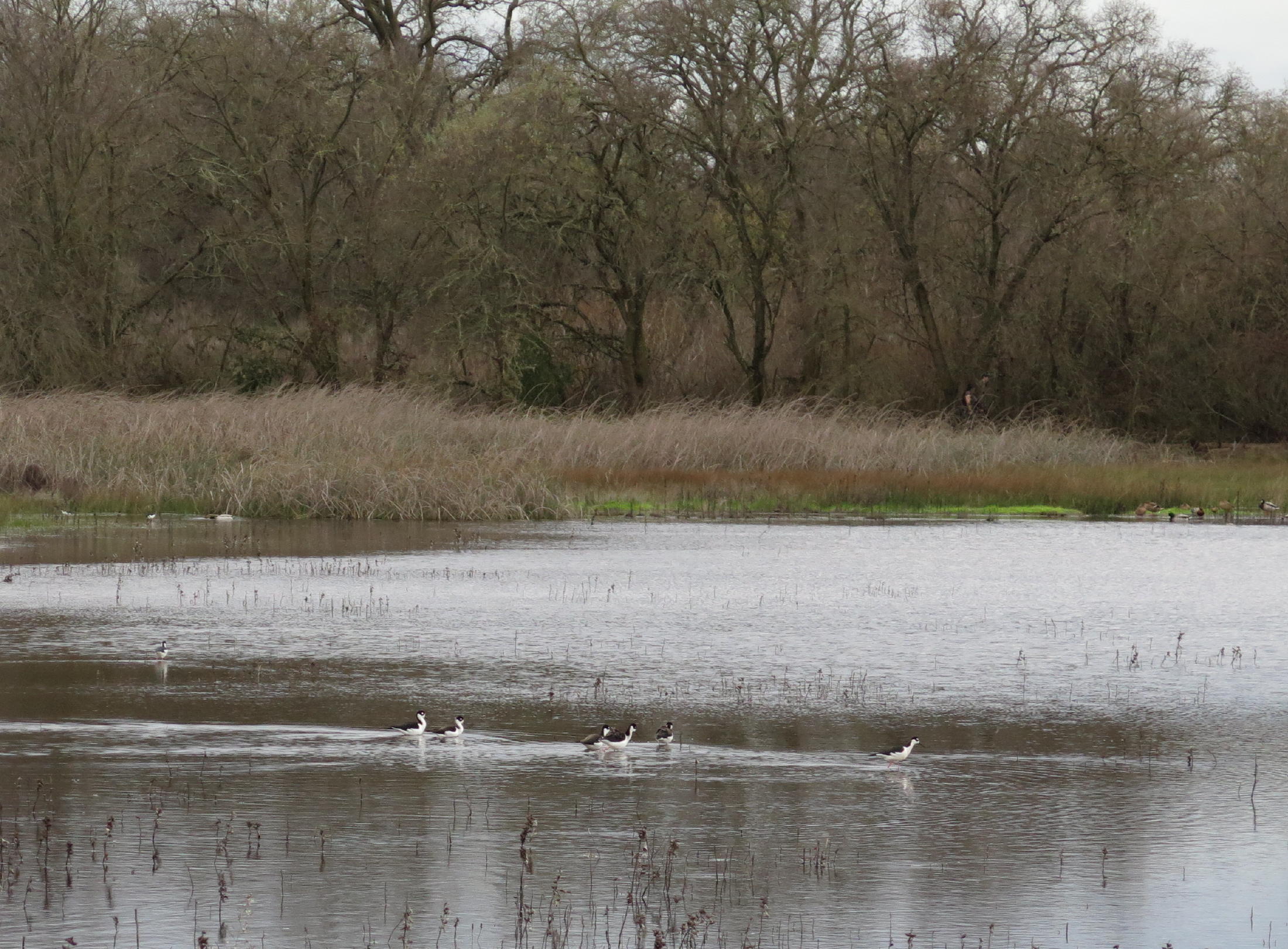 |
Black-necked Stilts |
note 1 - At the CRP, whenever we looked to the SW, we could see the next storm, parked out on the horizon.
note 2 - in the distance are two radio/TV towers, the tallest at 3,500 ft. high.
Plant ID by PictureThis.
We walked ~ 3.5 miles on the slough trail & another 1.5 at the CRP, so at least five miles for the day, with negligible elevation gain.
Return to Cosumnes River Preserve
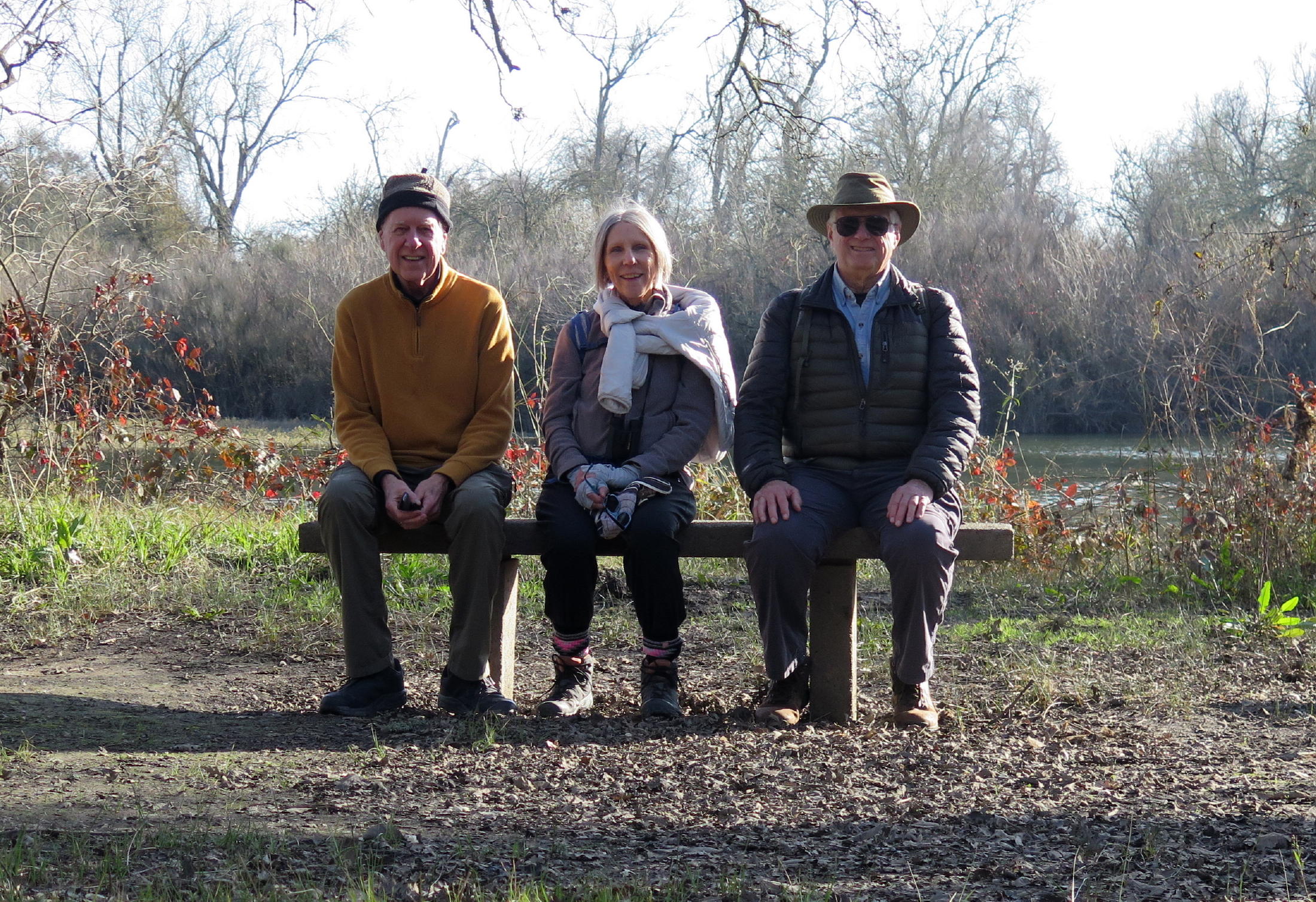
On Weds., Jan 28, Dave, Jean & I walked on the east side of the UPRR tracks and saw some attractive ponds & an open-space array of giant Oaks.
 |
eastern side |
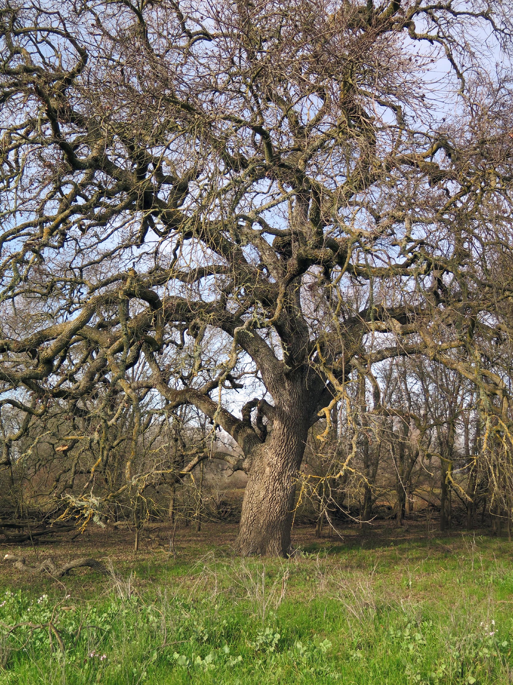 |
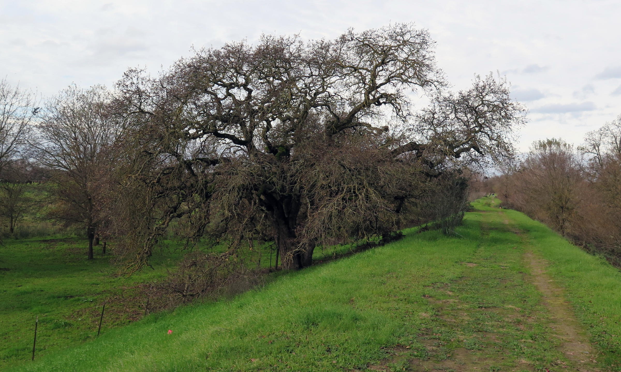
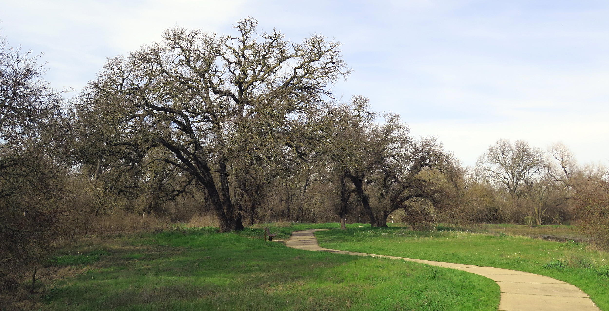
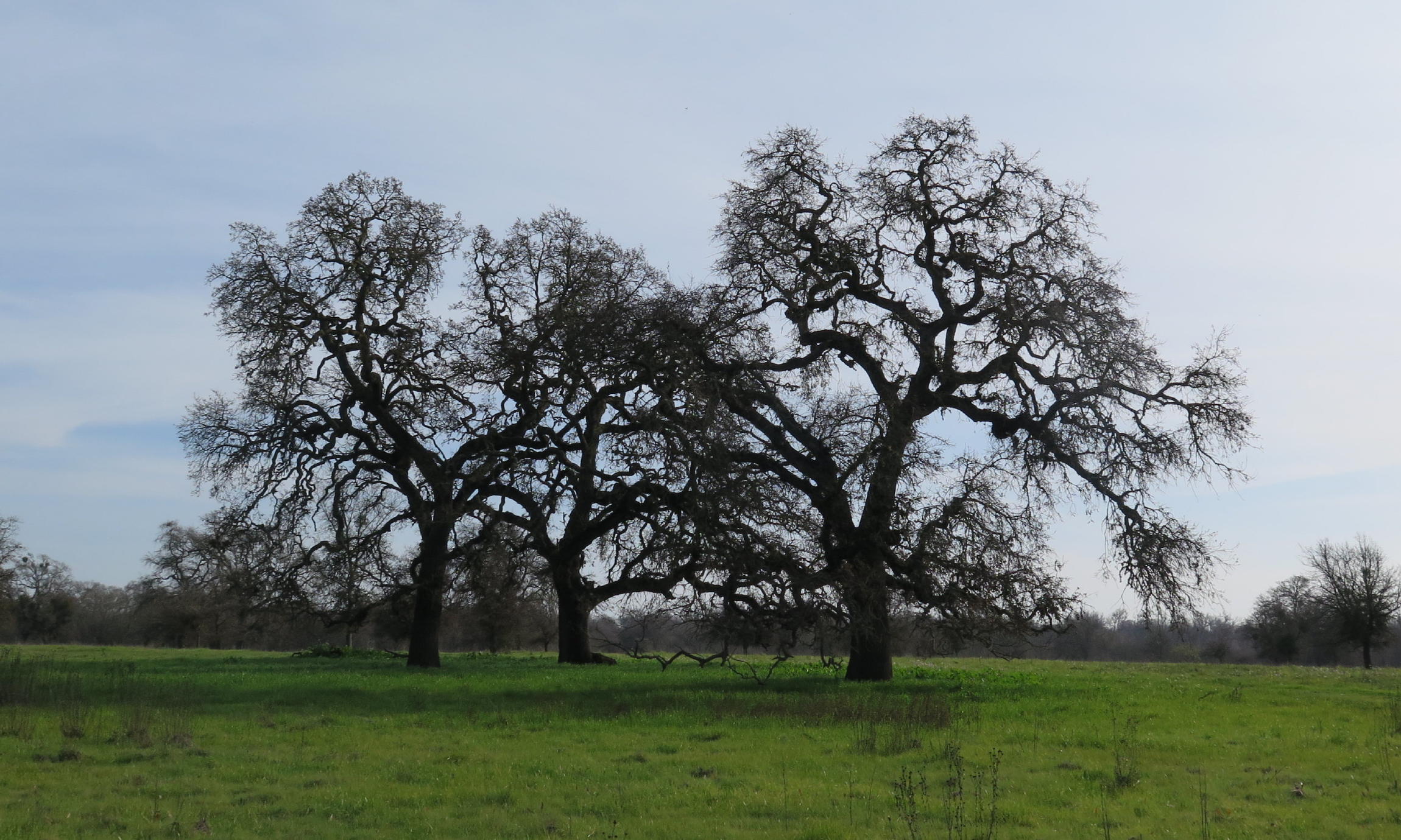
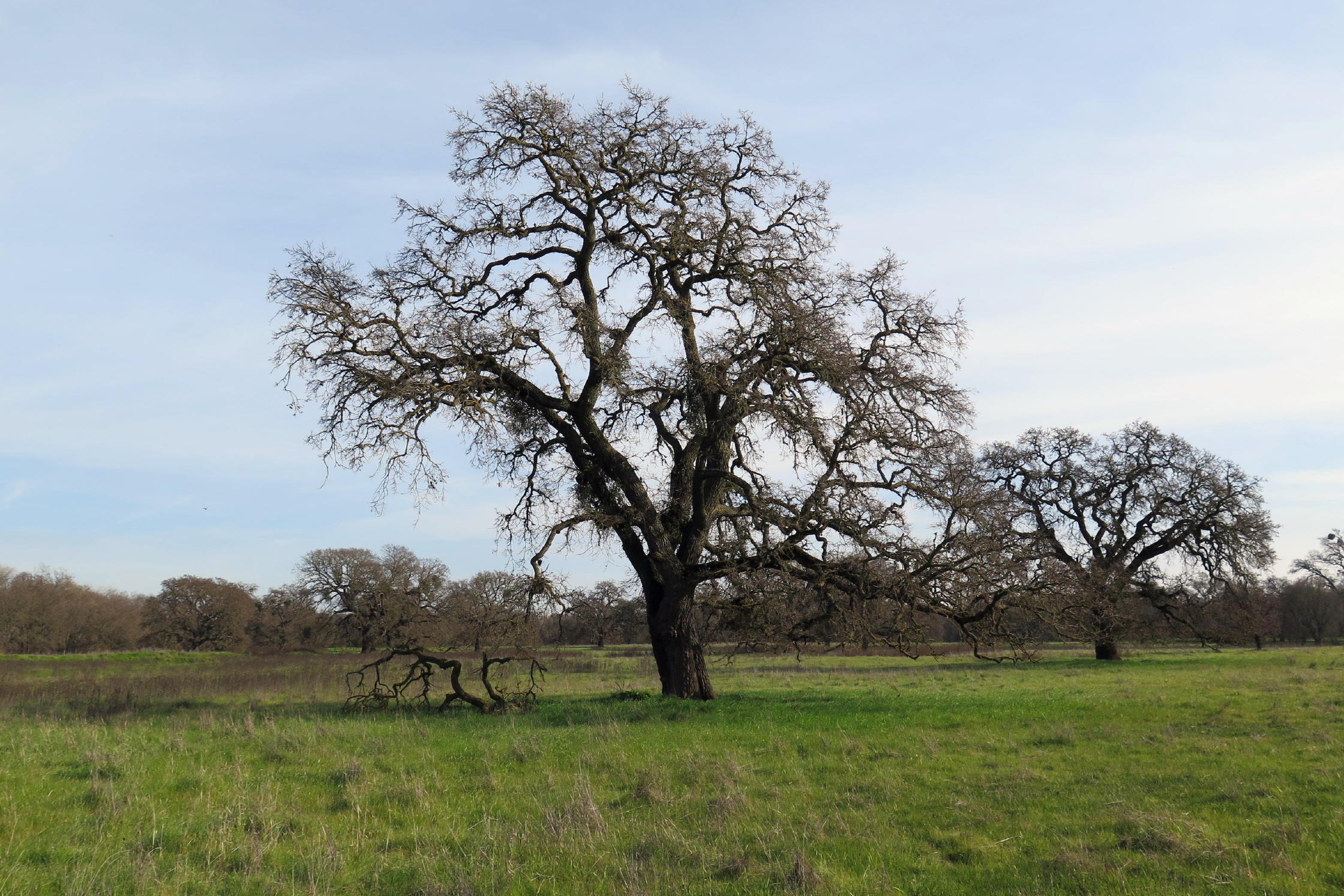
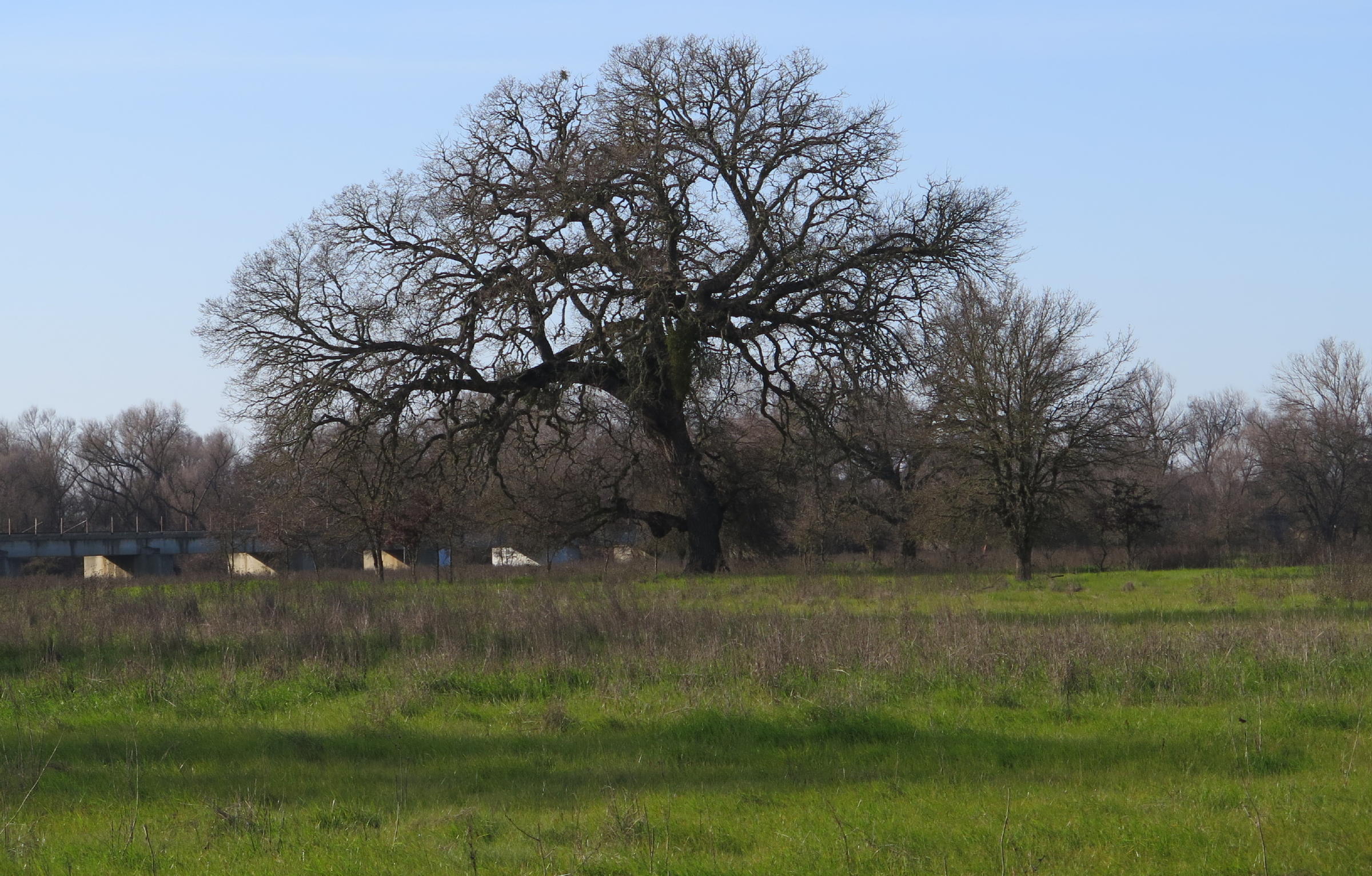
Valley Oak |
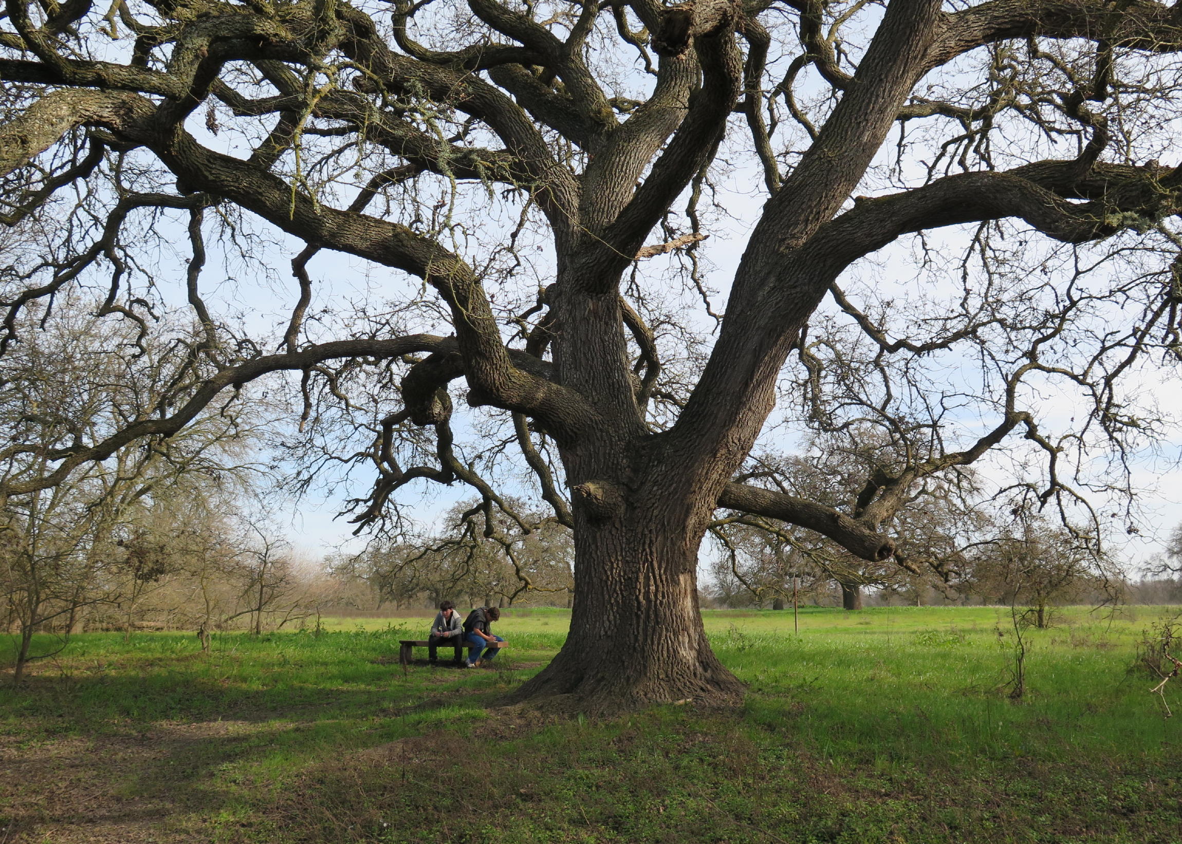 |
same tree |
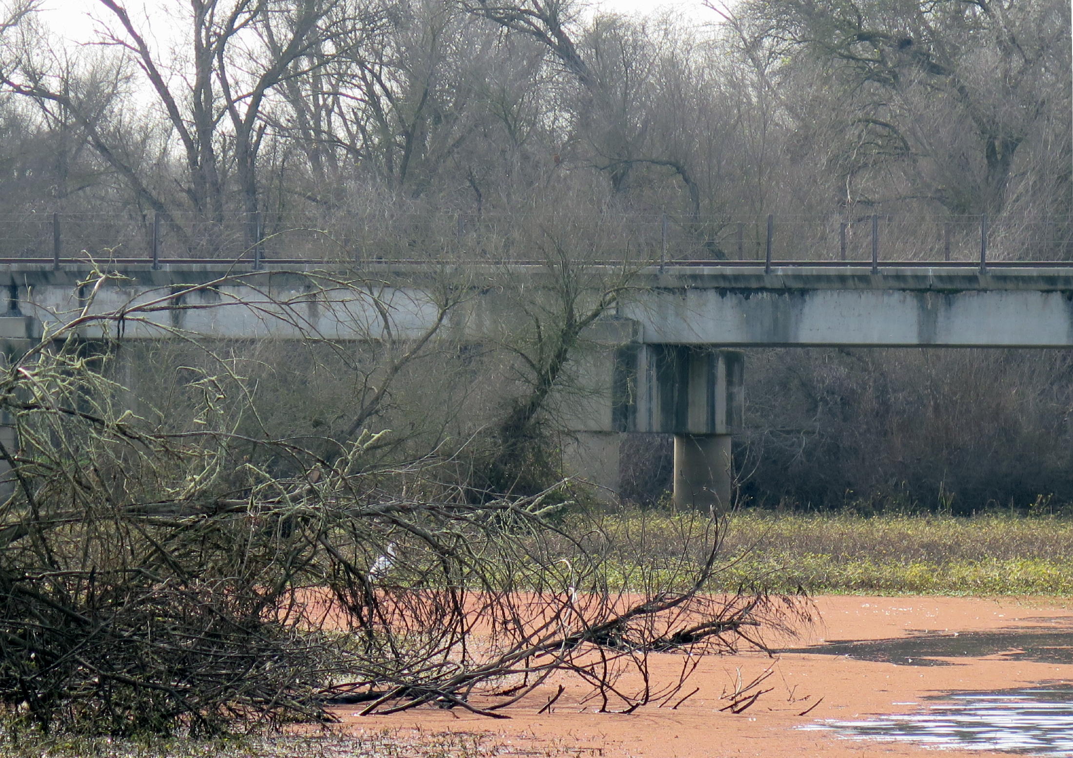 |
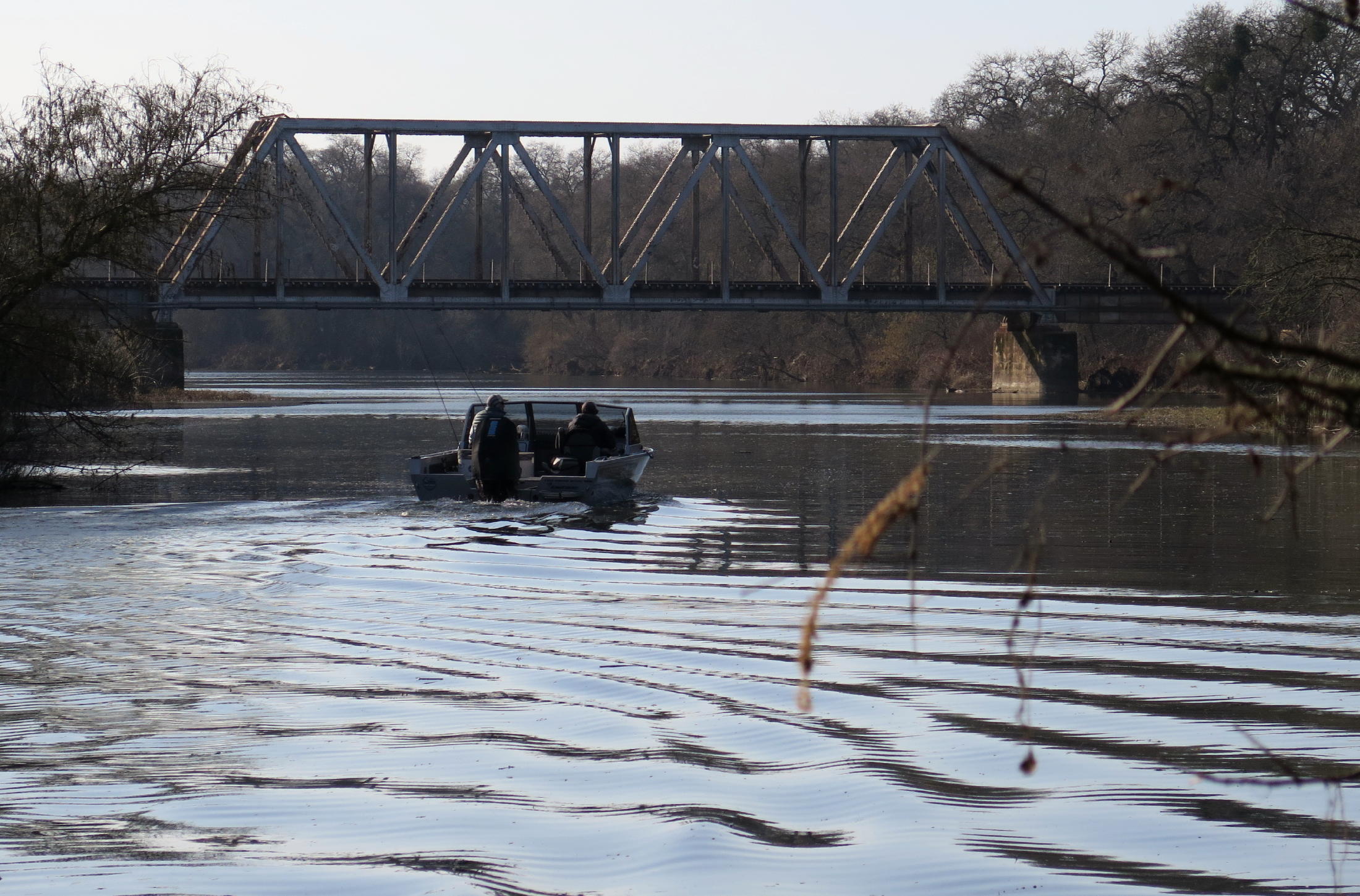
UPRR bridge (white egret behind branches on left) |
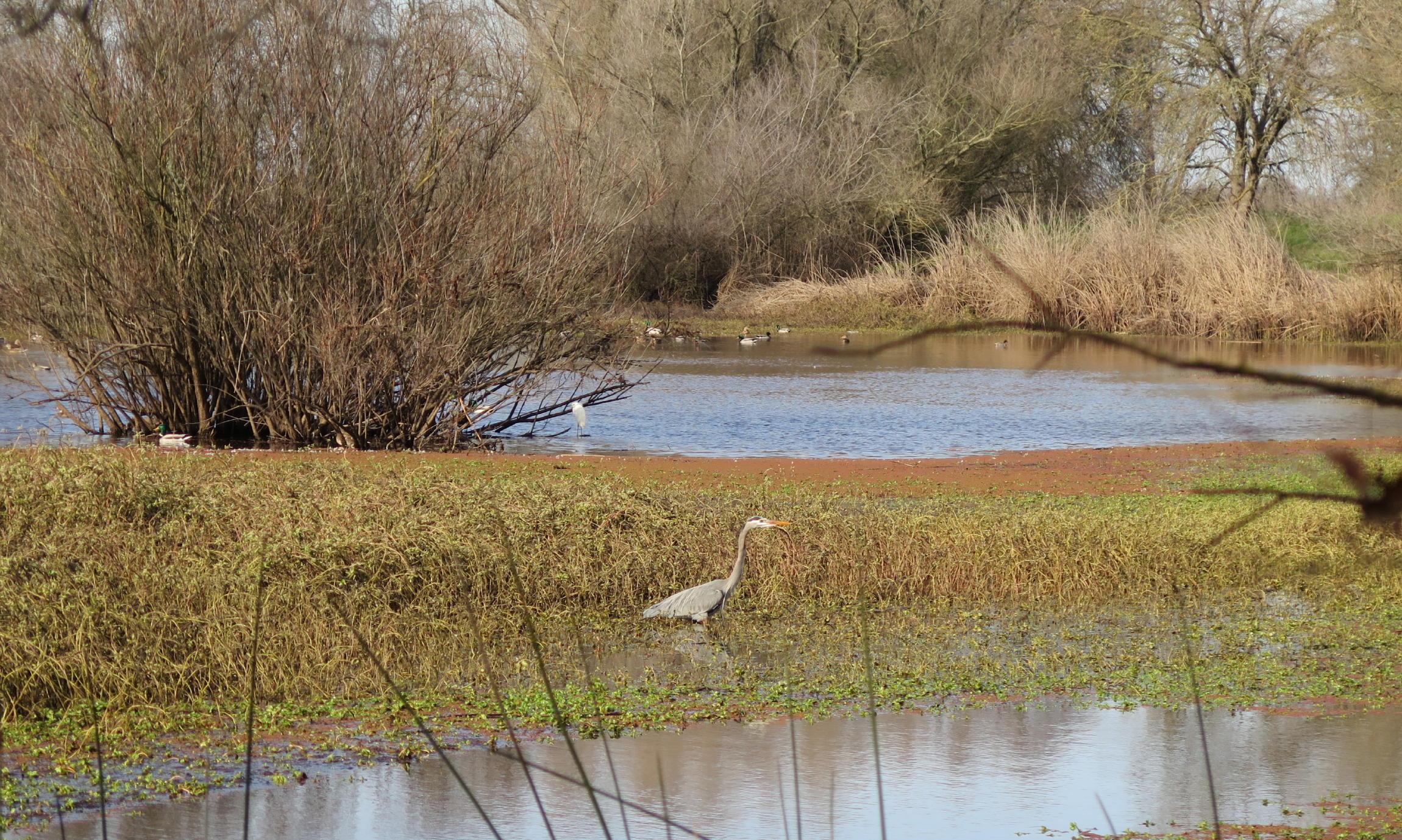 |
Blue Heron |
 |
|
 |
more big oaks |
 |
 |
||
 |
heading south to the River |
 |
< Cosumnes River behind us & UPRR bridge > |
 |
|
 |
heading back |
 |
January light |
 |
on the levees |
We got in about 3 more miles of walking around this interesting place. At times there were winds from the north, but we were all dressed for it.
return to index
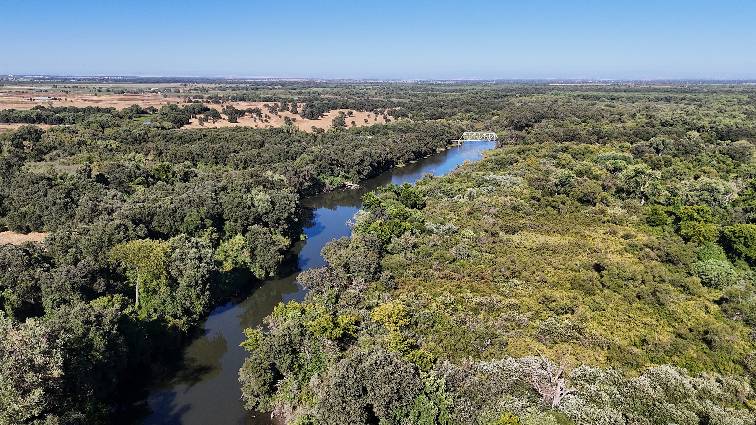 |
Cosumnes River at CRP image from Wikipedia |
The Cosumnes River has the smallest watershed in Ca., and, it vanishes just downstream of CRP, merging with the Mokelume River, which flows through Snodgrass Slough to the Sac River, via the diversion structure mentioned.
When the Sac River is in flood stage, due to excessive rains, the diversion structure is used to temporarily store water flowing backward into the Cosumnes River watershed.