
Cronan Ranch - Jan. '25
note - this page includes the NYD '25 walk in West Sac.
return to index
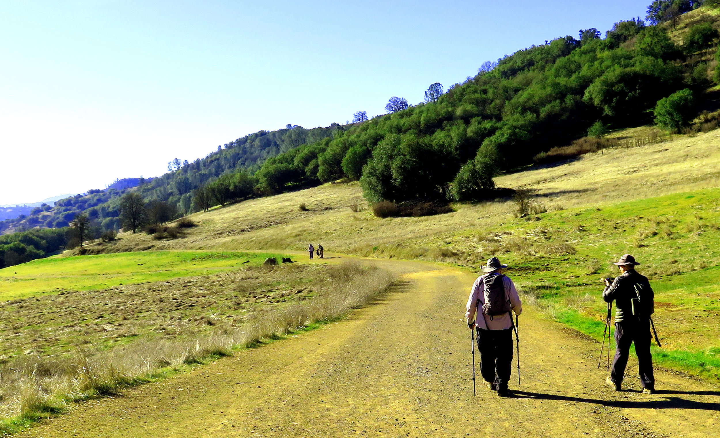
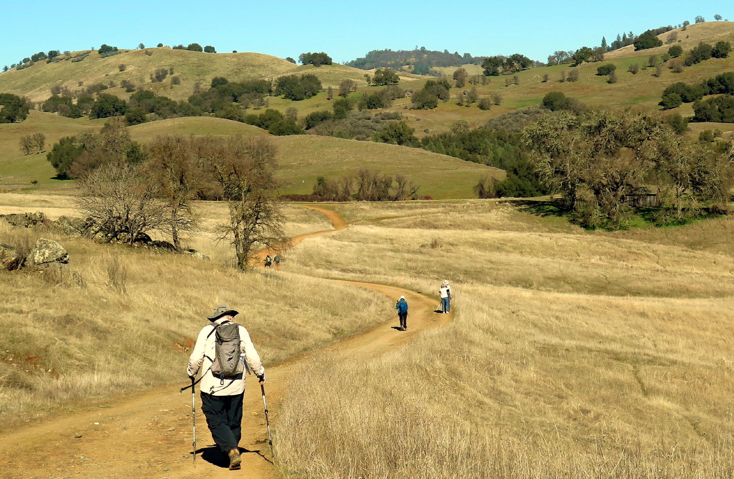
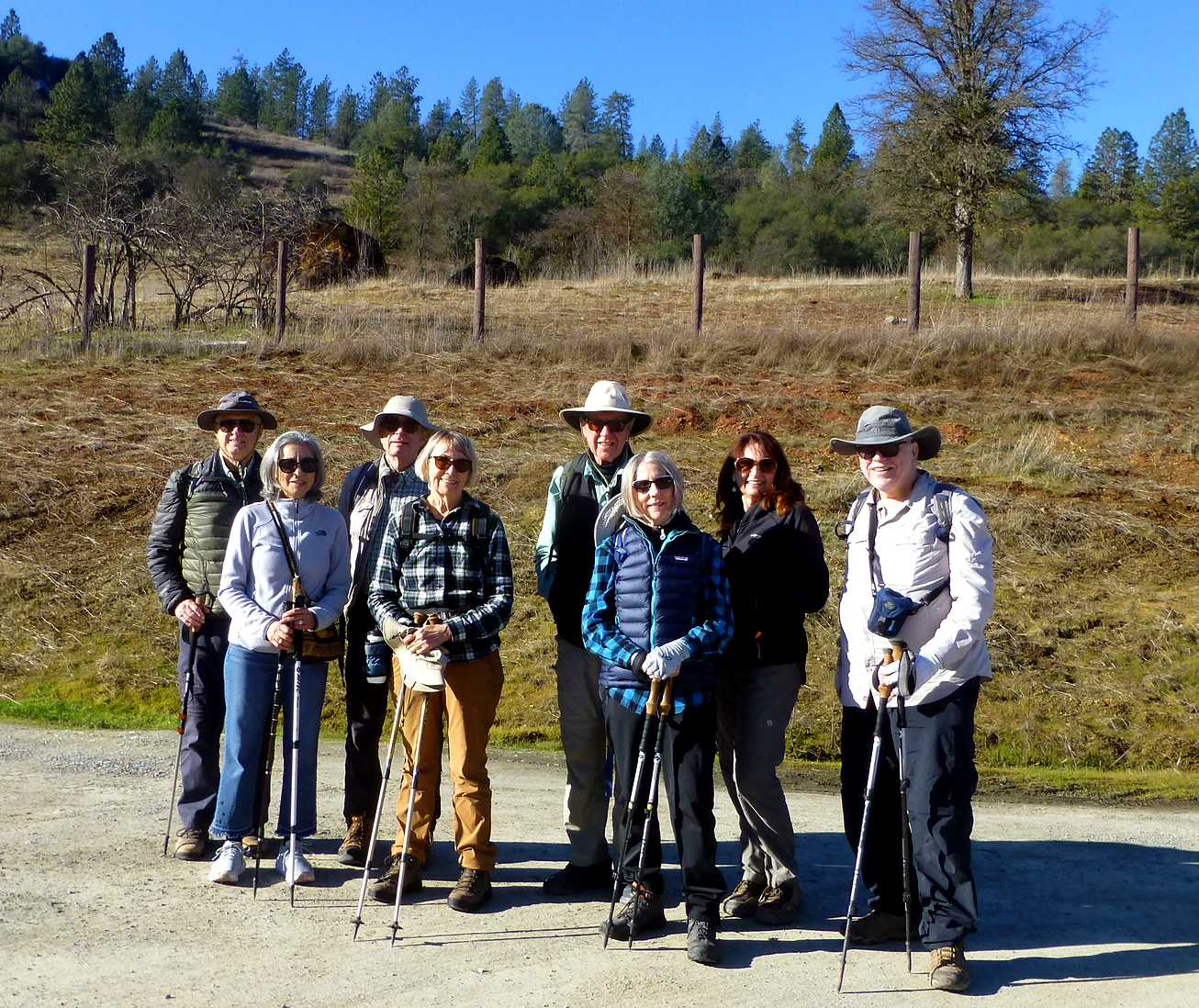
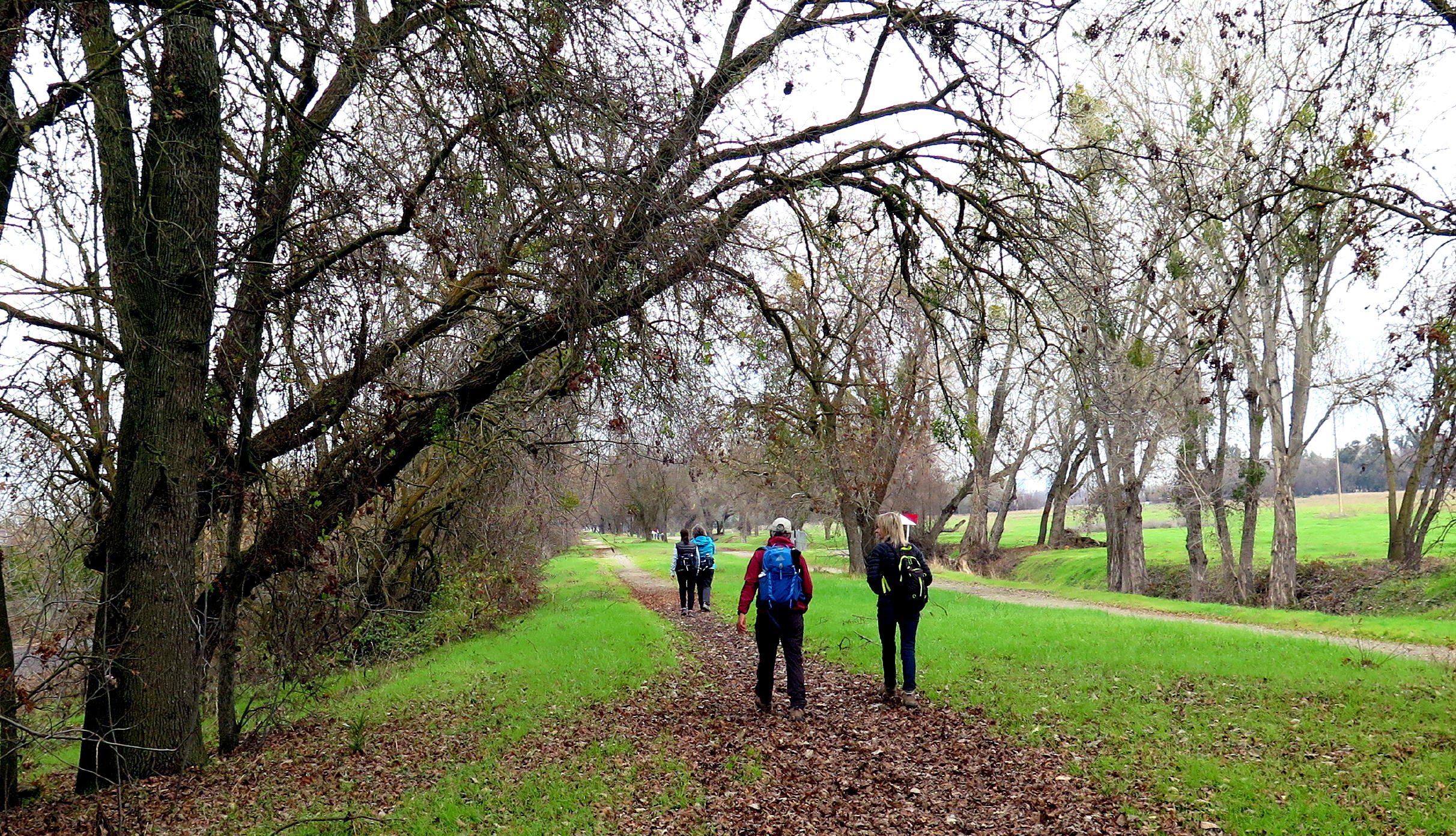
In mid-January, eight walkers had a mid-week visit to Cronan Ranch, where most have been before. The Park is a 90-minute drive from Sac. via Auburn & south on curvy hwy 49 to Pilot Hill.
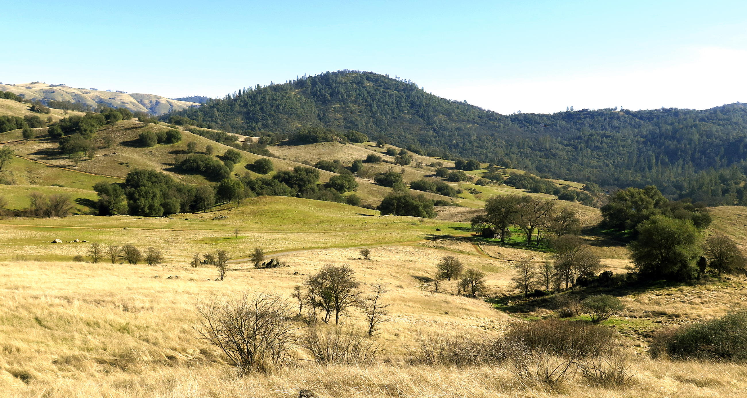
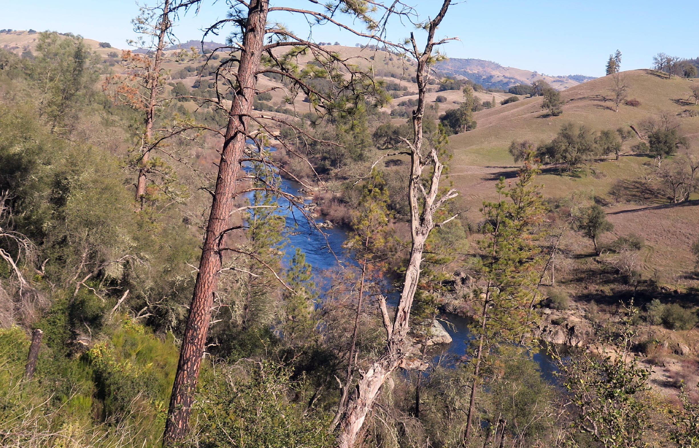
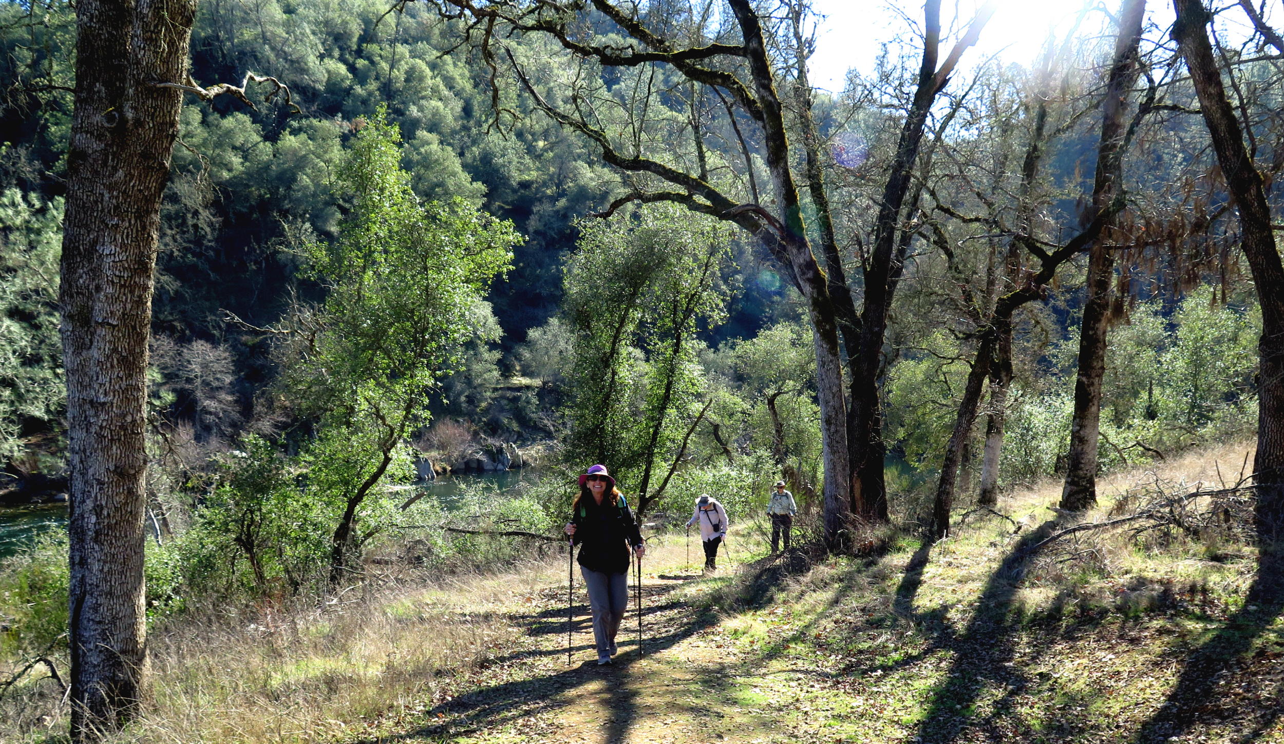
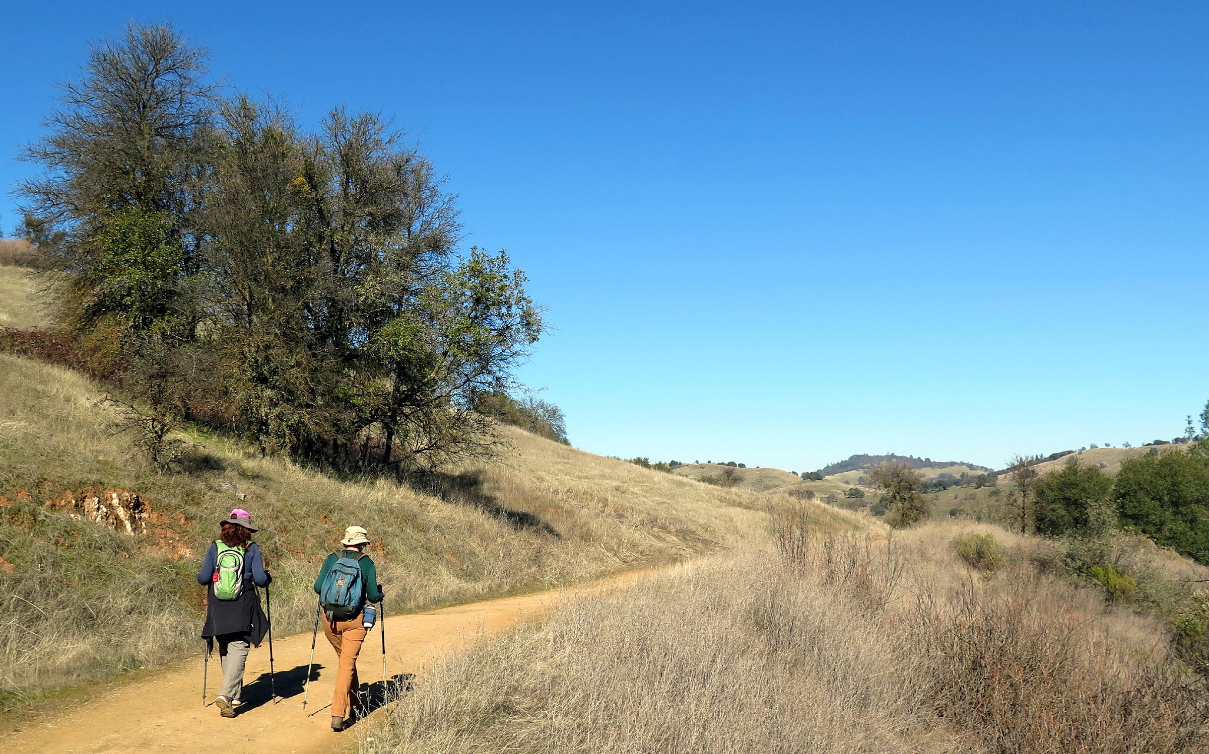
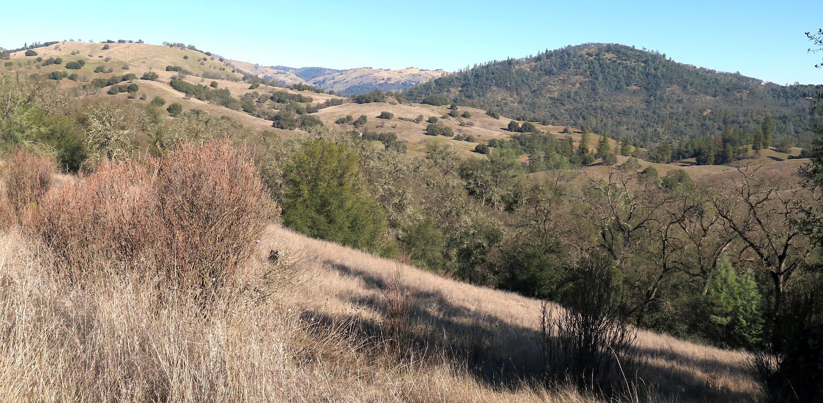
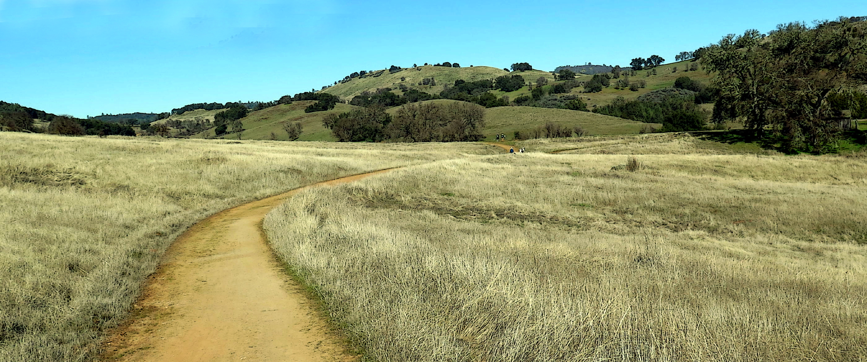
The attractive 1,400 acre property has rolling hills with oaks, and views of the South Fork of the American River.
We tried a new route, called West Ridge to Satan's Cesspool (on AllTrails).
|
|
south into winter sun |
|
Frank & Dave |
|
the property |
|
|
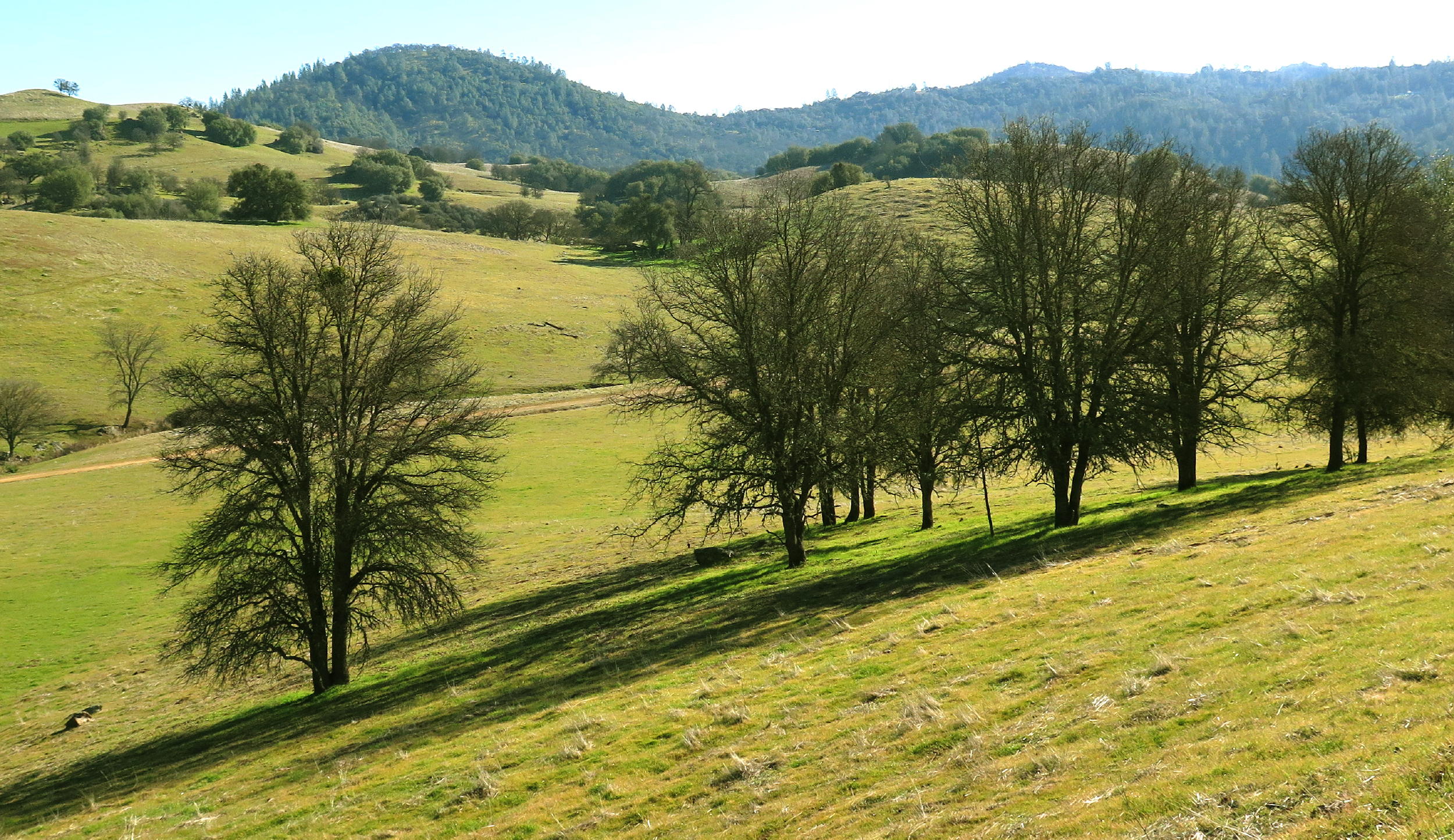
bare Oaks |
|
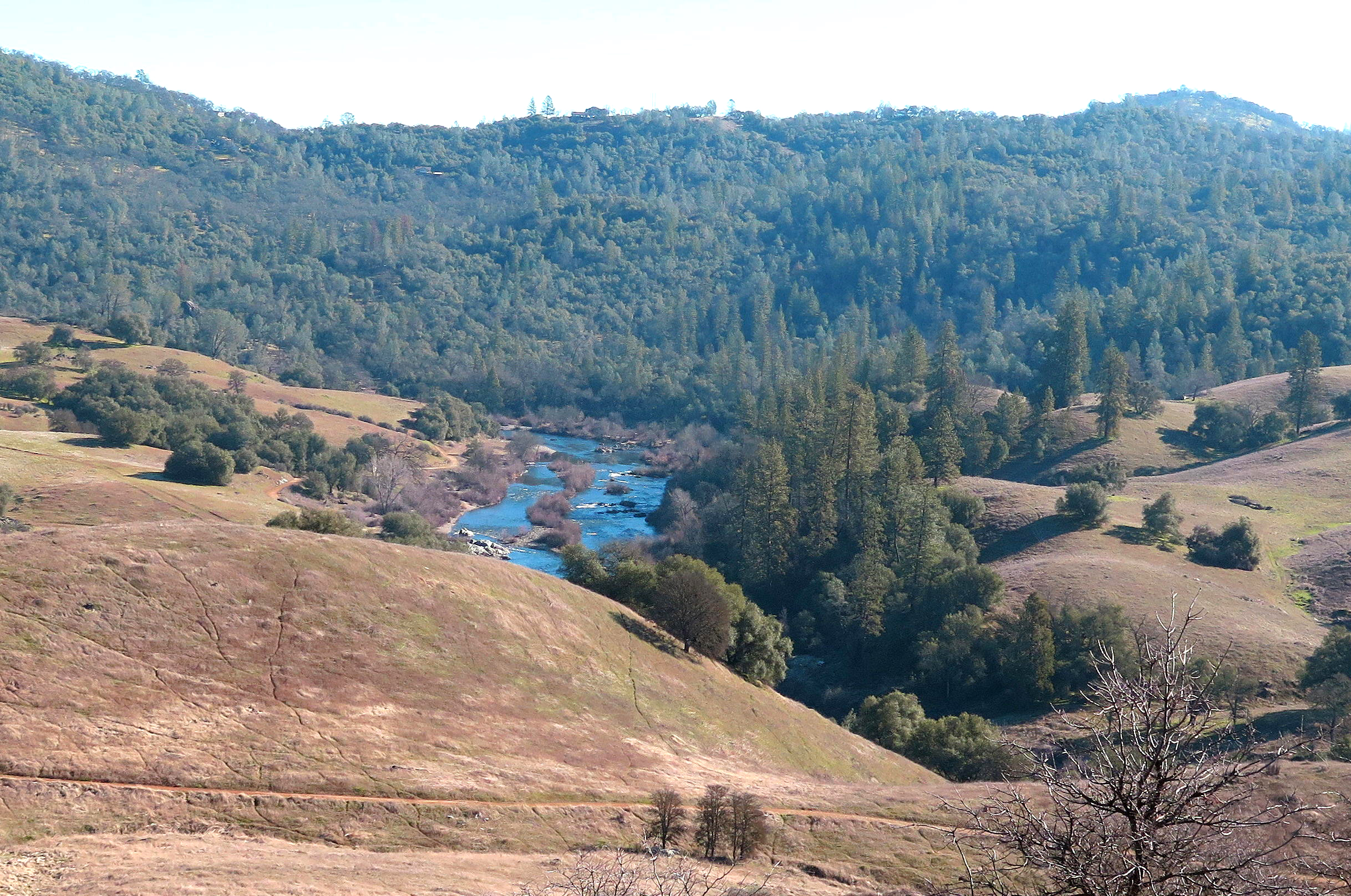
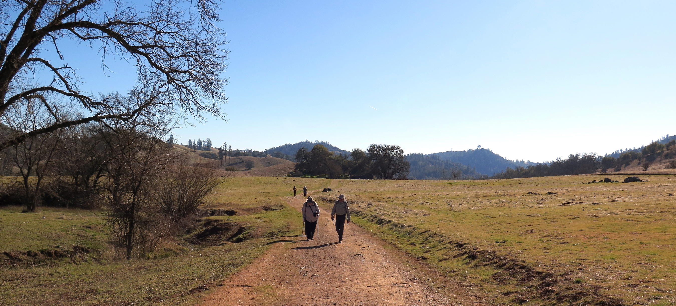
first view of the south fork |
|
|
|
|
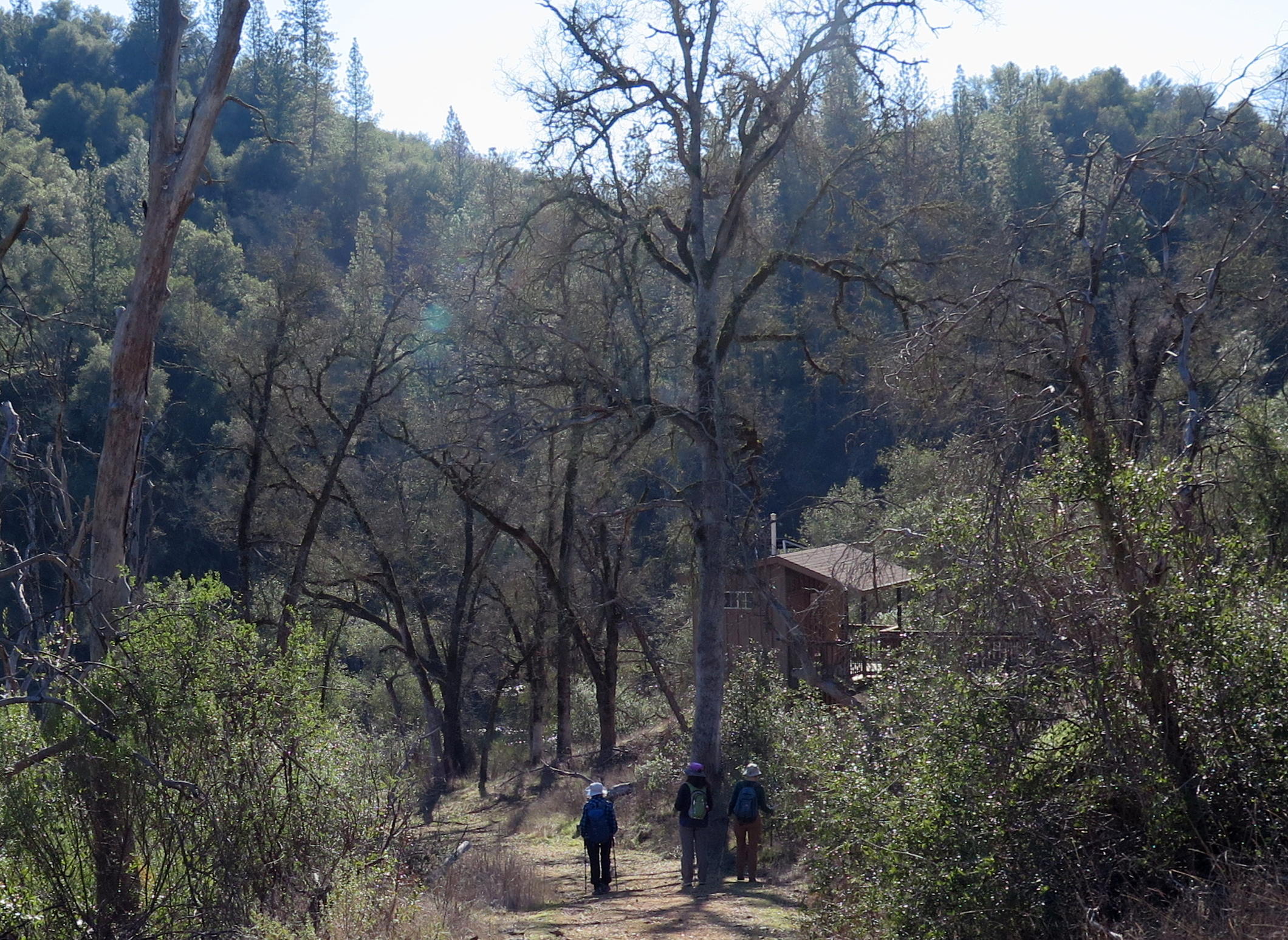
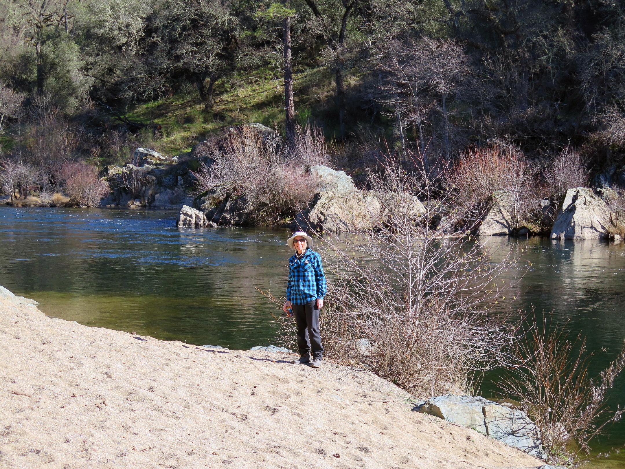
downhill to Pit Stop Beach, see note |
|
|
Jean | |
|
|
note - Pit Stop Beach (and two other riverside restrooms in the park) cater to the needs of summer rafters, who put in at Coloma, 6+ miles upstream, sometimes in big numbers, sometimes drinking a lot, and they need a pit stop, and a wide beach for a lunch stop.
My guess is that Cronan Ranch is funded by the Auburn State Recreation Area.
 |
start of the return walk |
 |
Linda... |
 |
,,,and Kathy |
 |
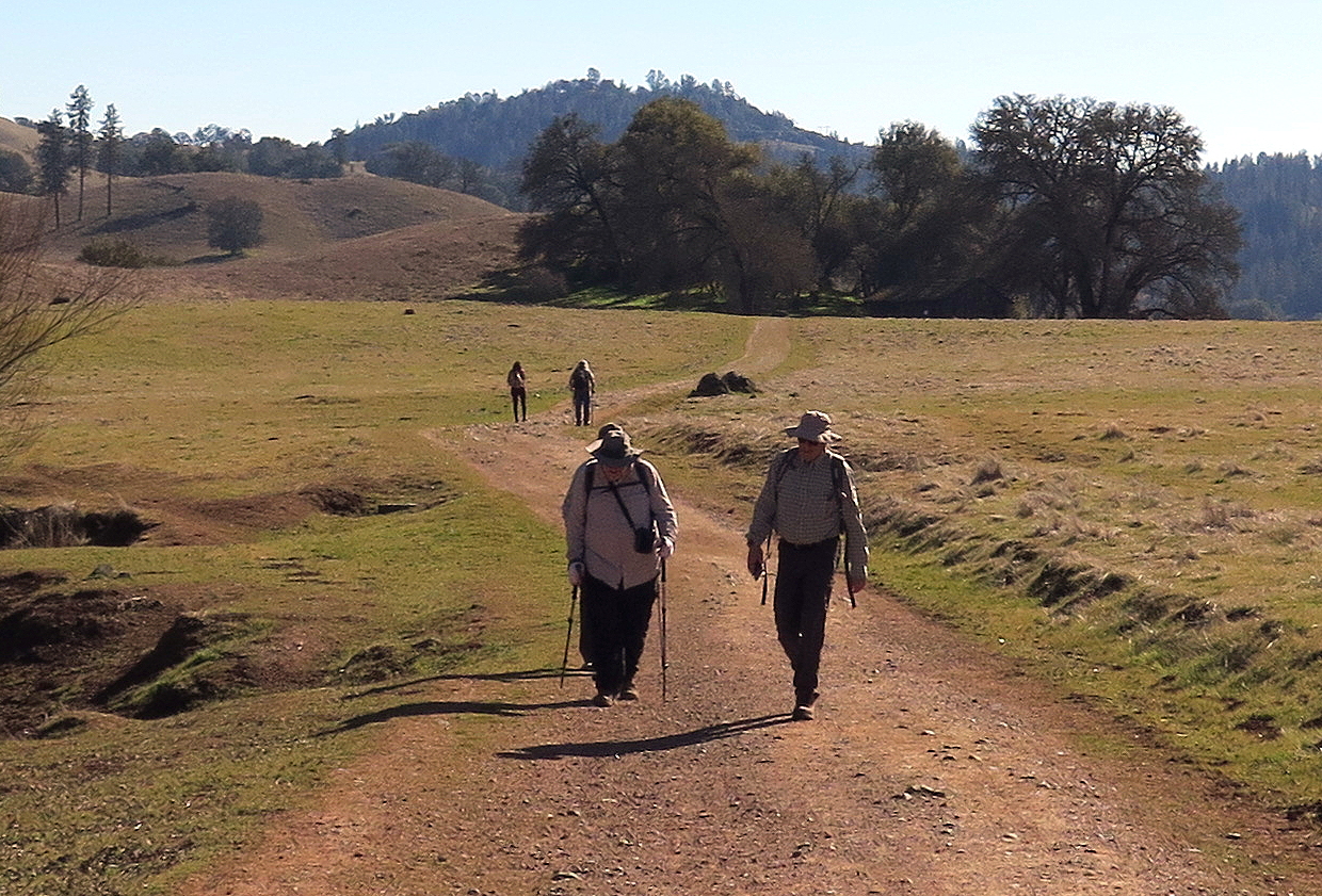
heading north w/ sun finally behind us |
 |
Dave |
 |
|
 |
 |
(neighbors) Kathy & Jean |
 |
great open space walk | |
 |
almost back |
 |
Dave & Frank |
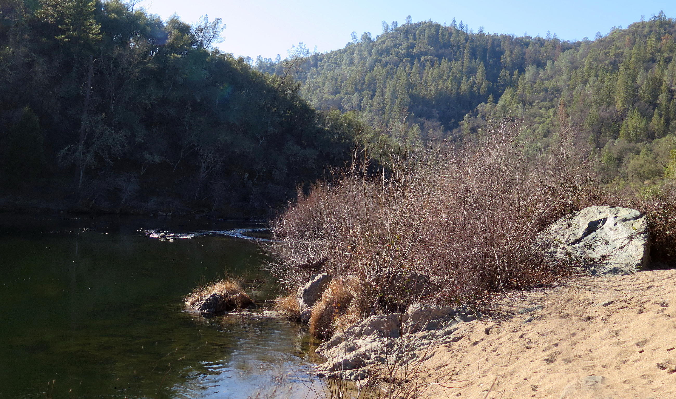
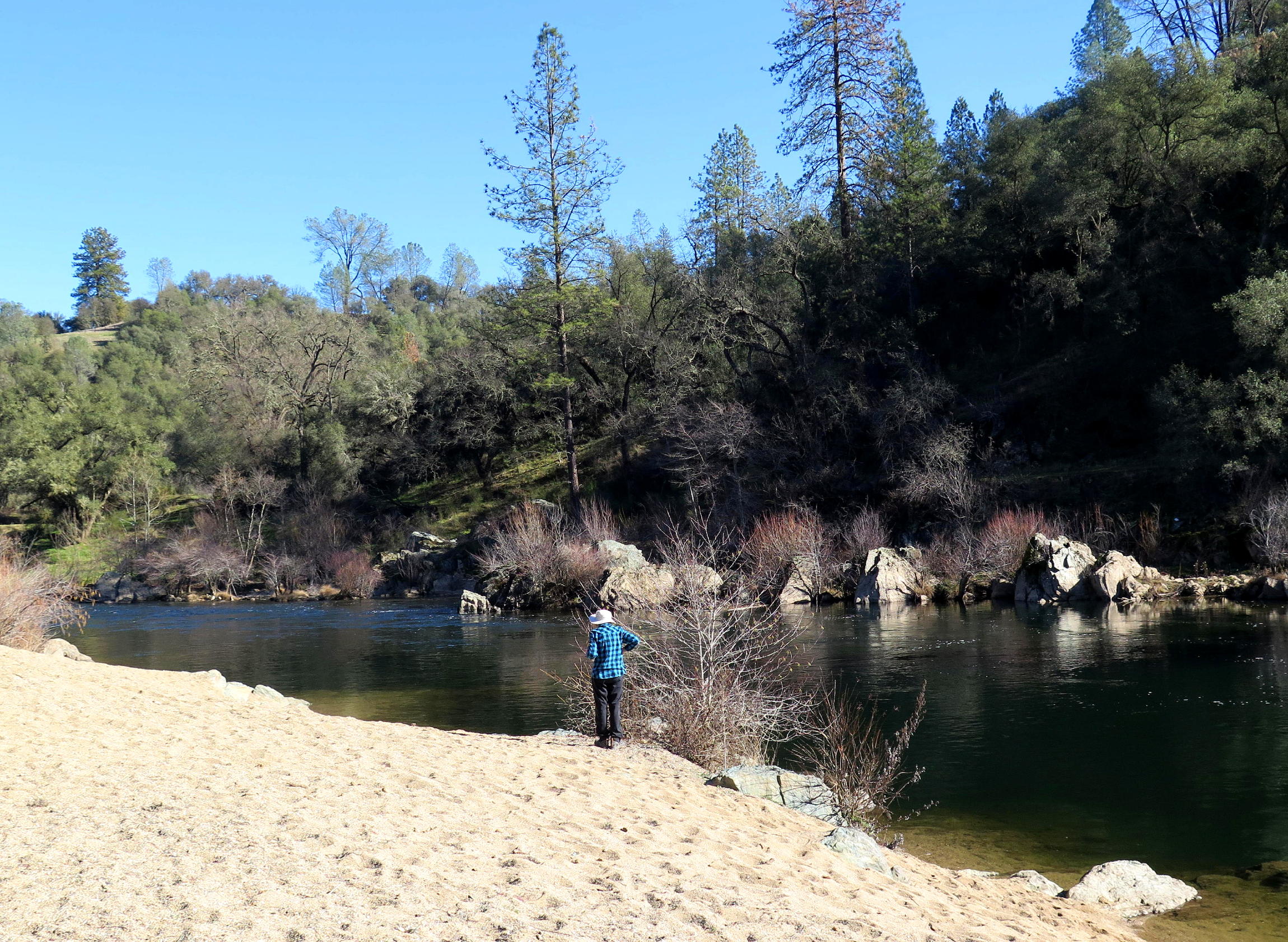
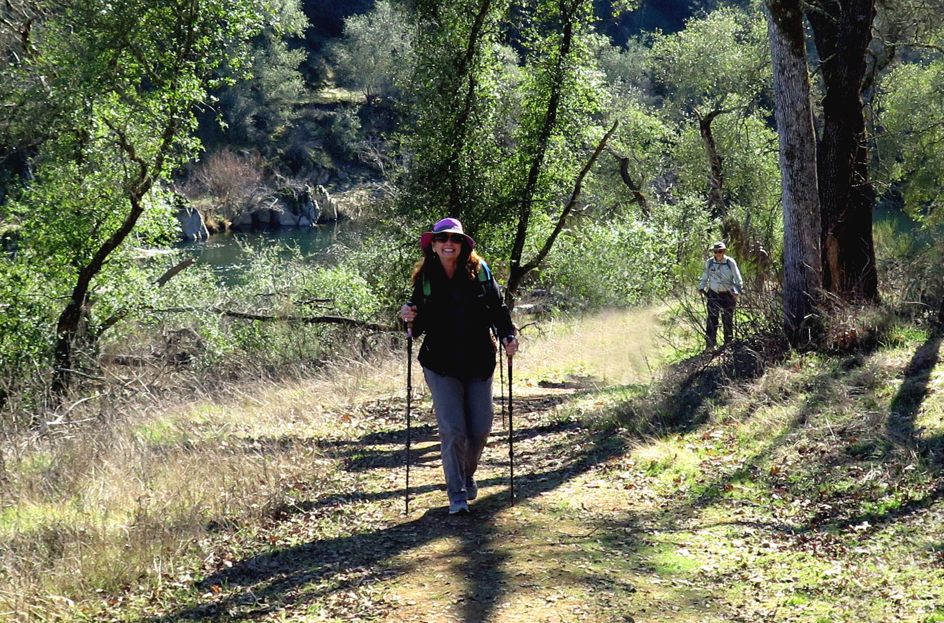
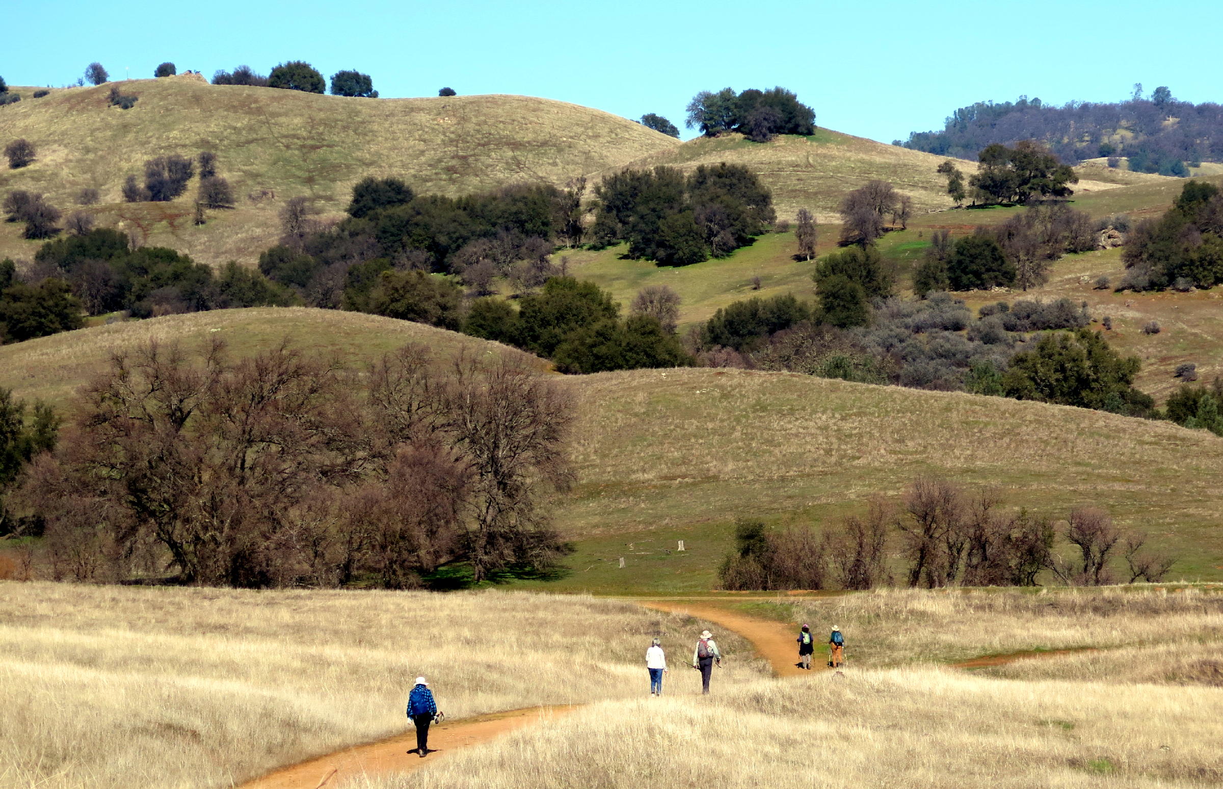
The West Ridge-Satan's Cesspool walk is 11.1 miles (round-trip) with 1,800+ ft. of gain. We walked about 6 miles, turning around after lunch at the pleasant beach. We avoided West Ridge altogether, coming & going, lowering elevation gain.
Instead we had long steady uphill grades on the out & back walk, making this a great workout for flat-landers.
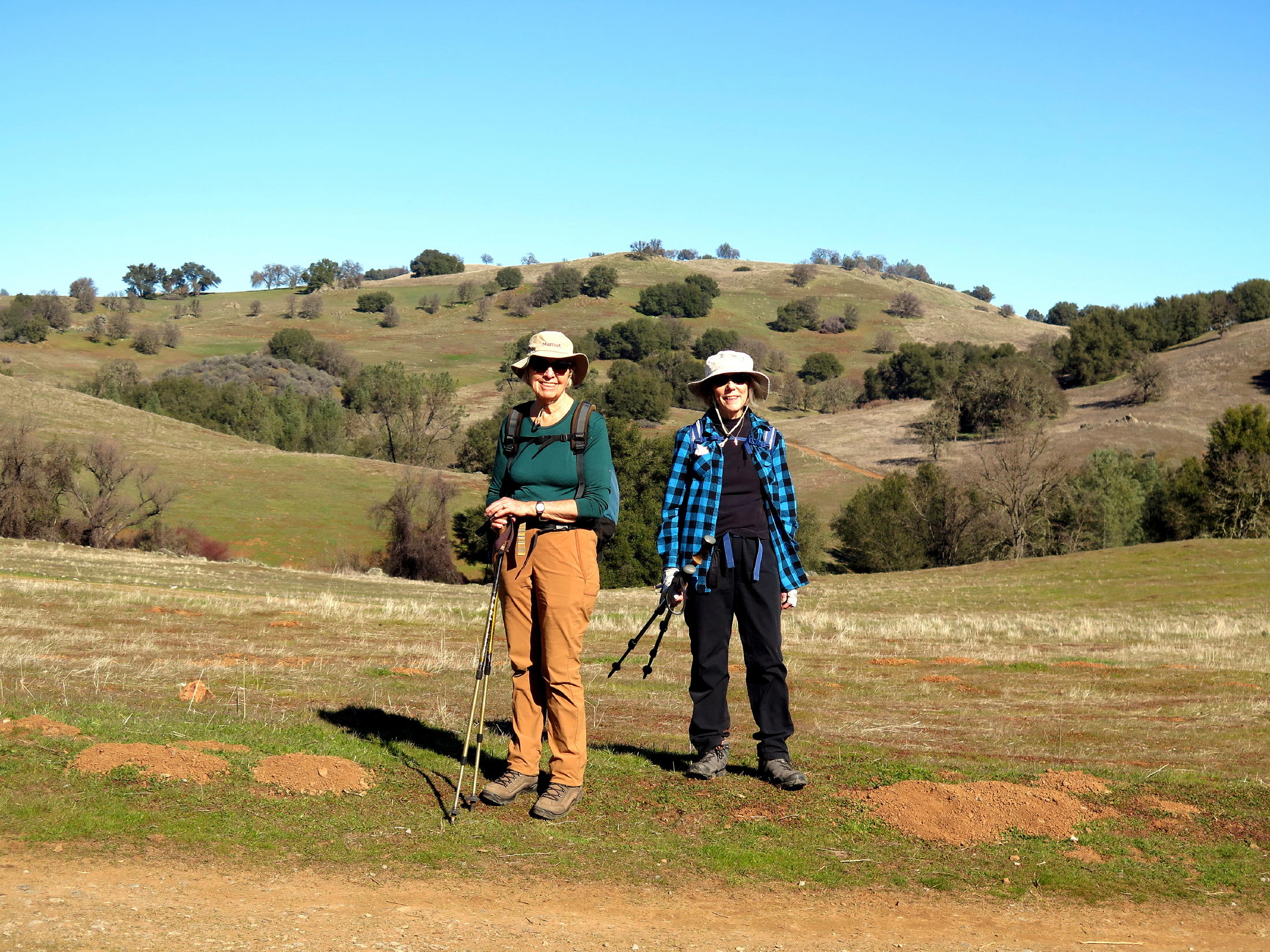
Frank's group photo:
 |
start of the walk |
return to index
NYD Walk
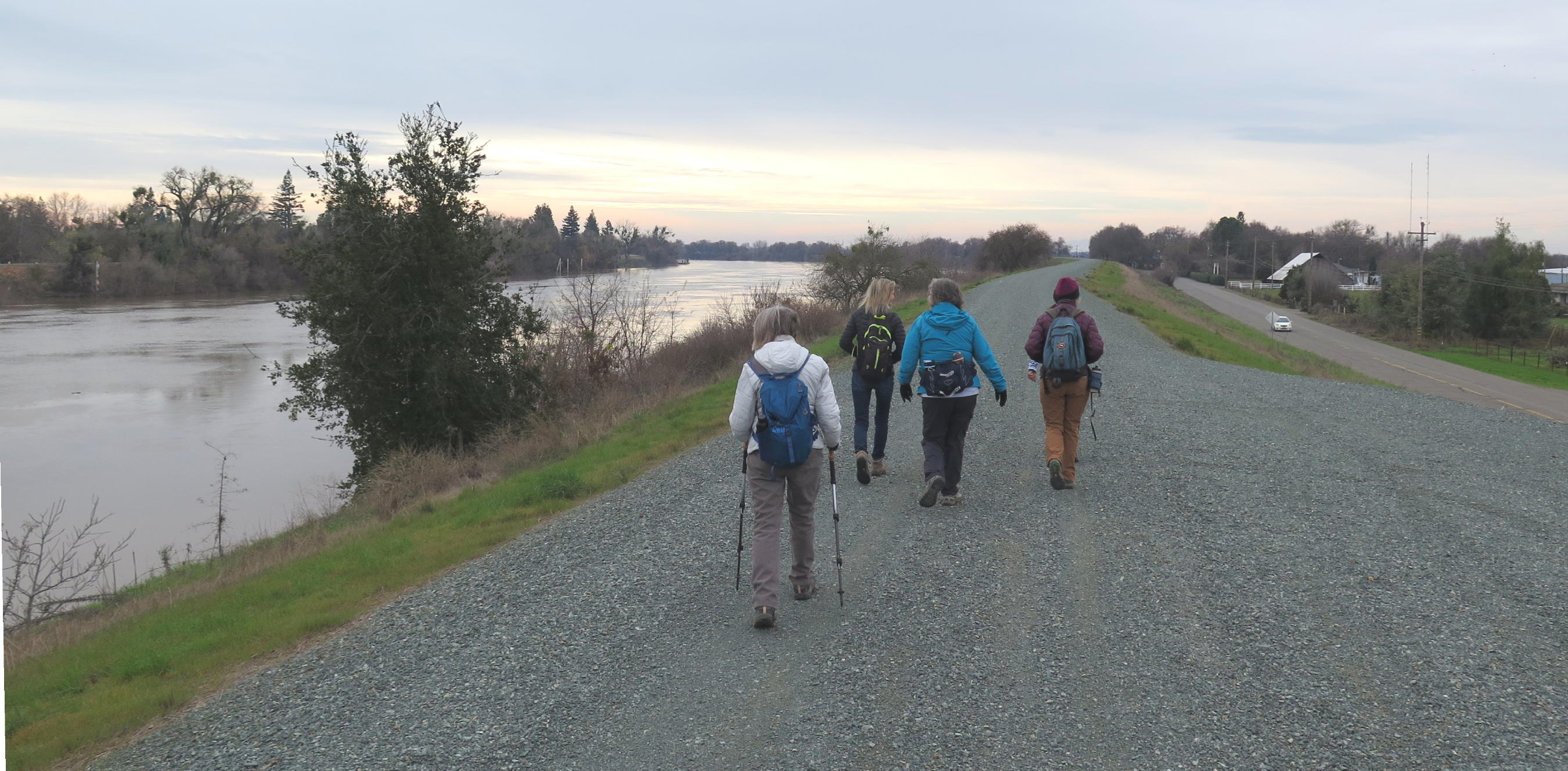
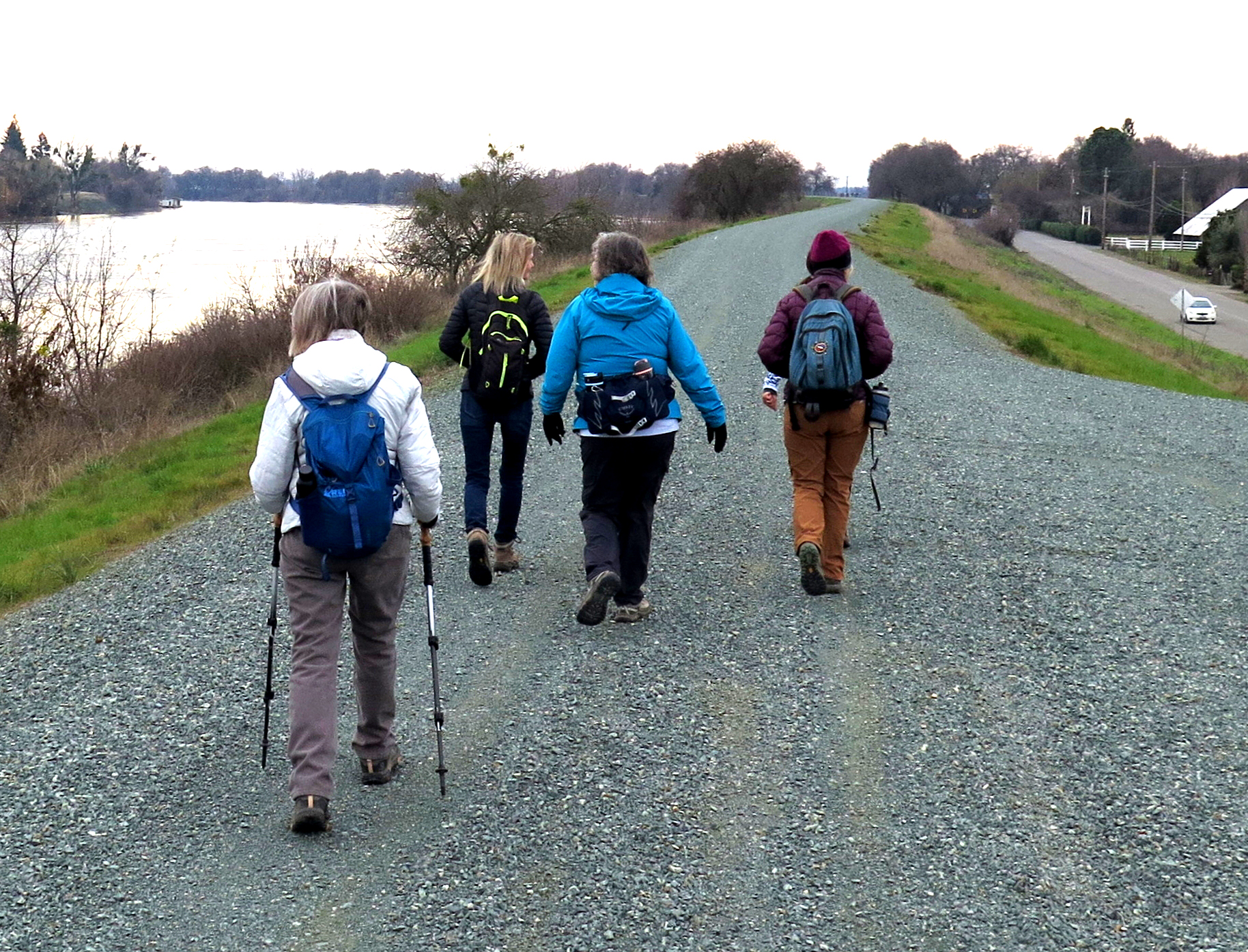
Ten of us met in West Sac to walk the Branch Line to Clarksburg trail (AllTrails) starting from the Nugget parking lot on Jefferson Blvd., heading straight south until reaching the banks of the Sacramento River, and back.
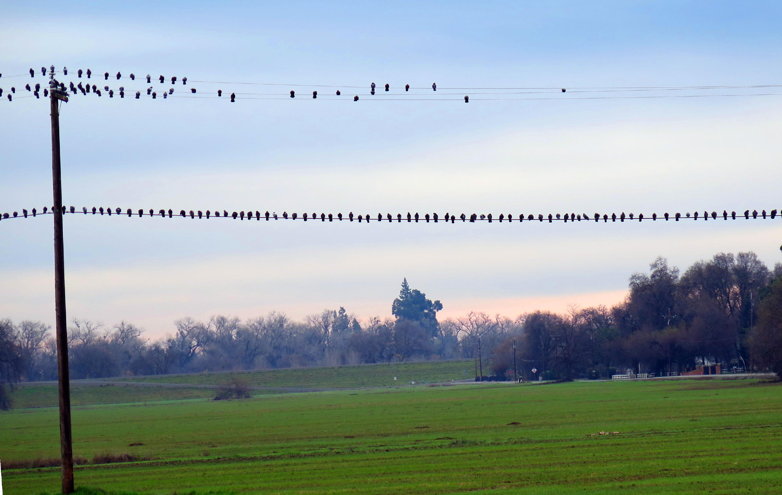
'Twas a cold, overcast morn & good to be out walking. The scenery went from urban subdivision to open space farmland. At the turnaround point, the Greenhaven area was across the River from us.
During the walk the group exchanged NY greetings with other walkers.
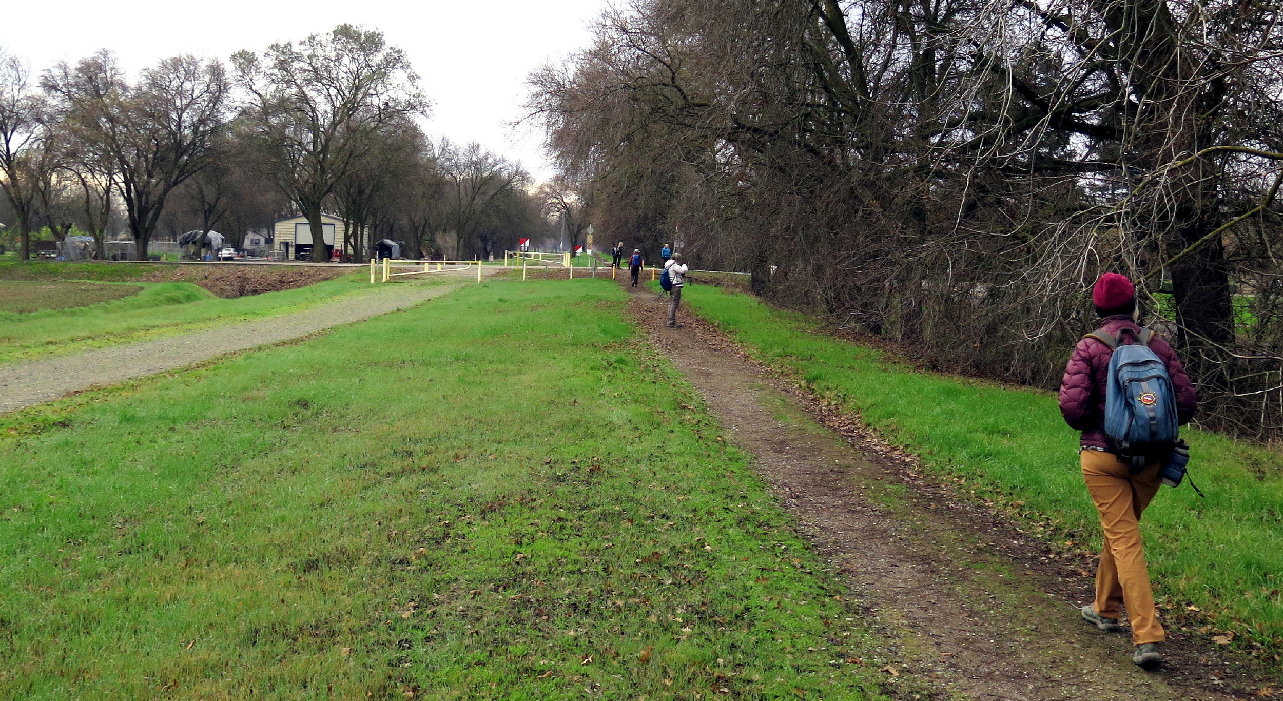 |
heading south |
 |
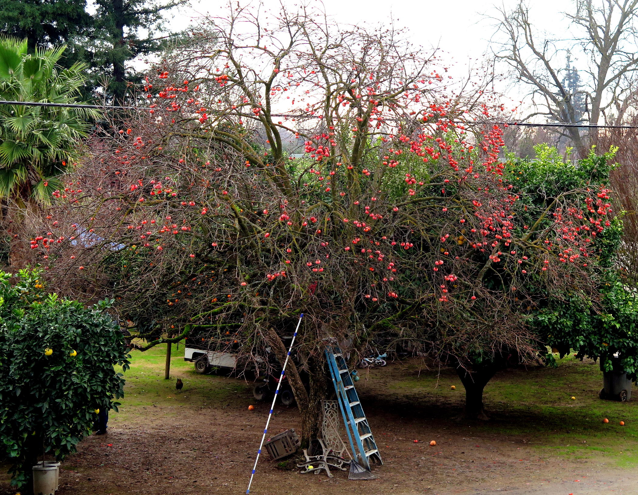 |
persimmons | |
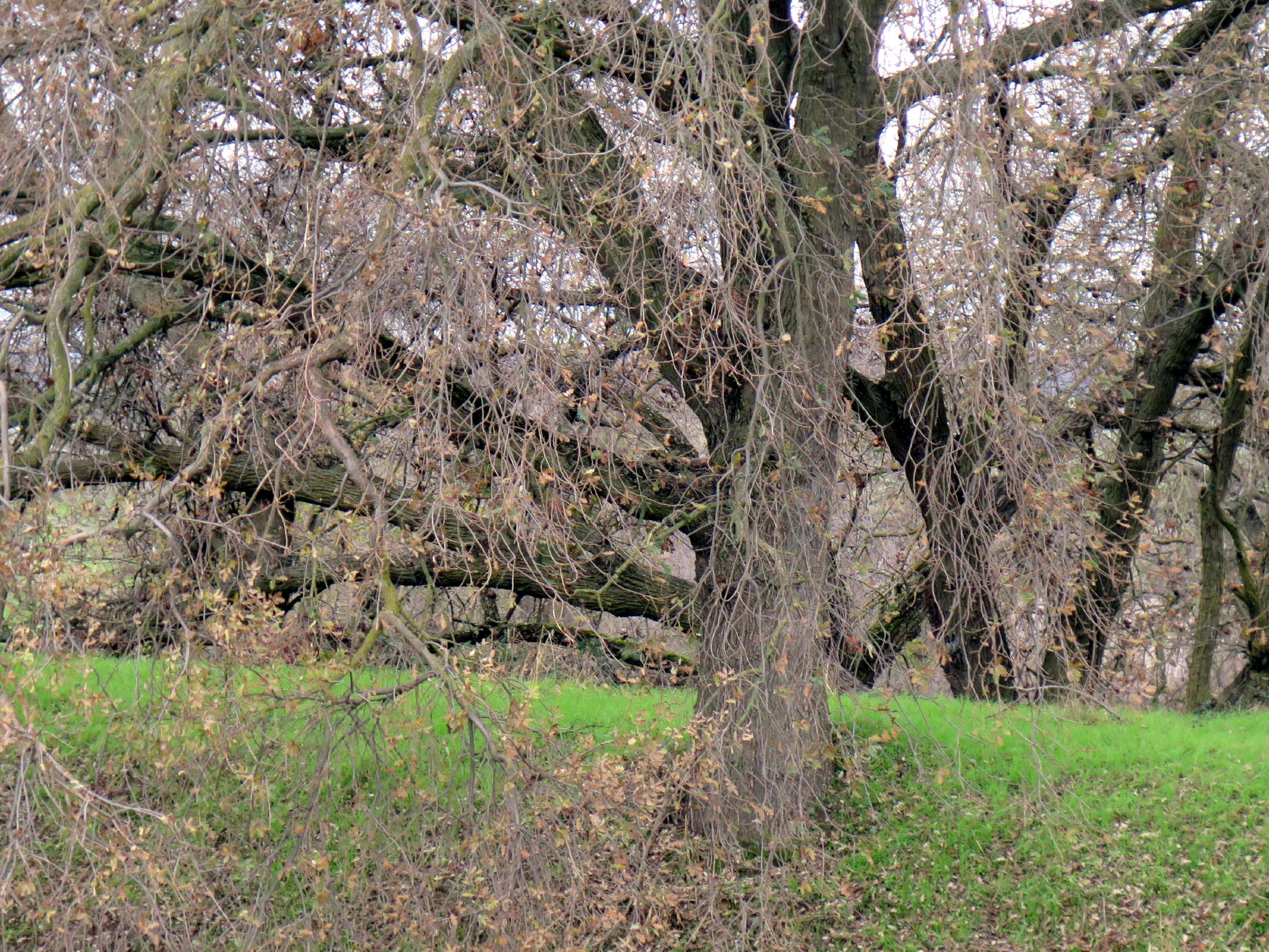 |
big Oaks |
 |
 |
||
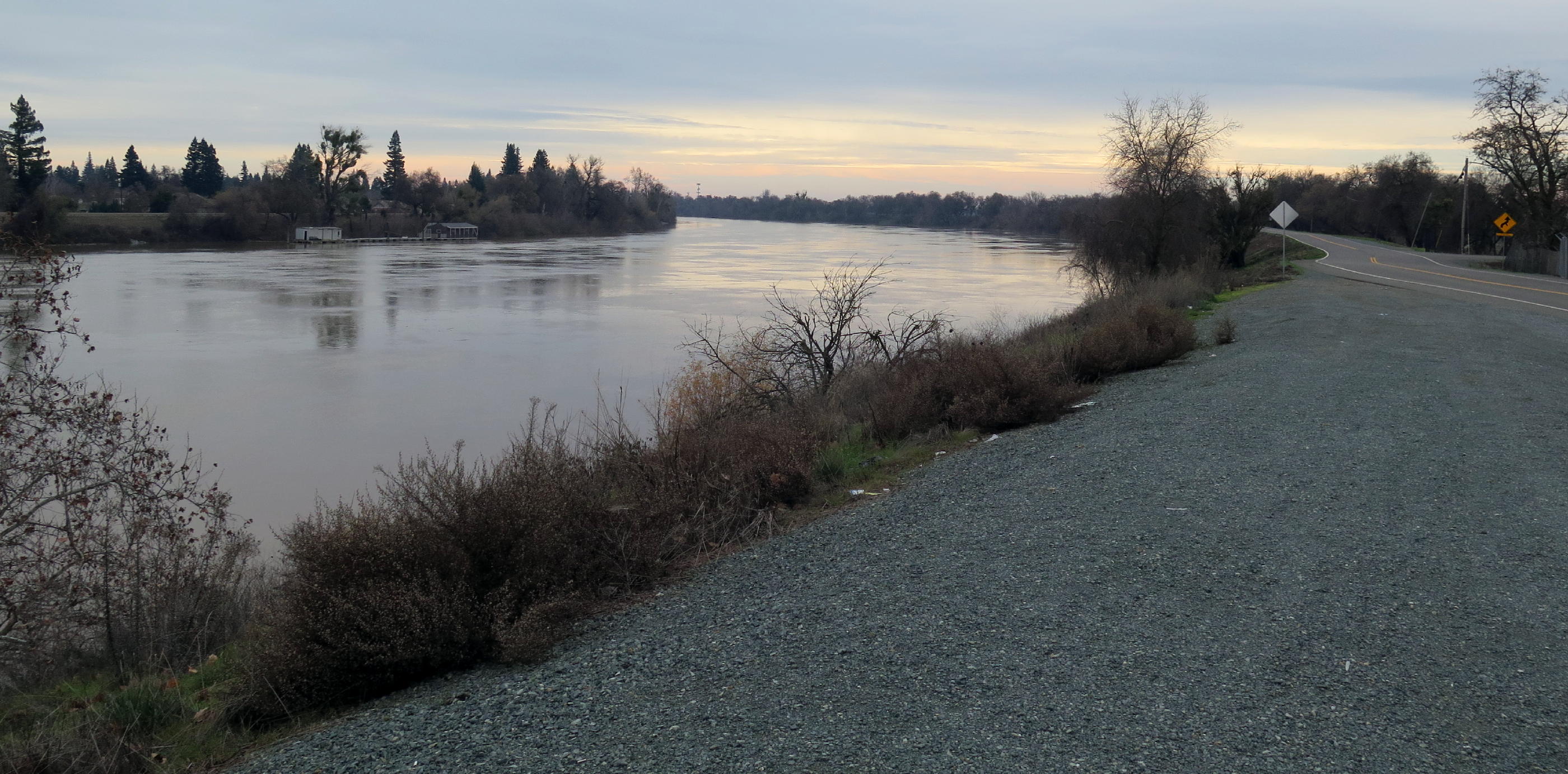 |
Sacramento River |
 |
heading north |
 |
It was an 8 mile round trip walk, and didn't seem to take long. Afterwards Diane and I enjoyed coffee with Surjit and Raj in Nugget.
T he hiking group has been going on New Year's Day hikes for maybe 5 or 6 years, and I'm pretty sure Rich B. started the trend. We realized years ago that NYD is a very low (freeway) traffic volume day = much easier drive.
Getting to West Sac was a minimal drive for all of us, a nice start to the hiking year.
return to index