
Pioneer Express Trail I - Feb. '25
return to index
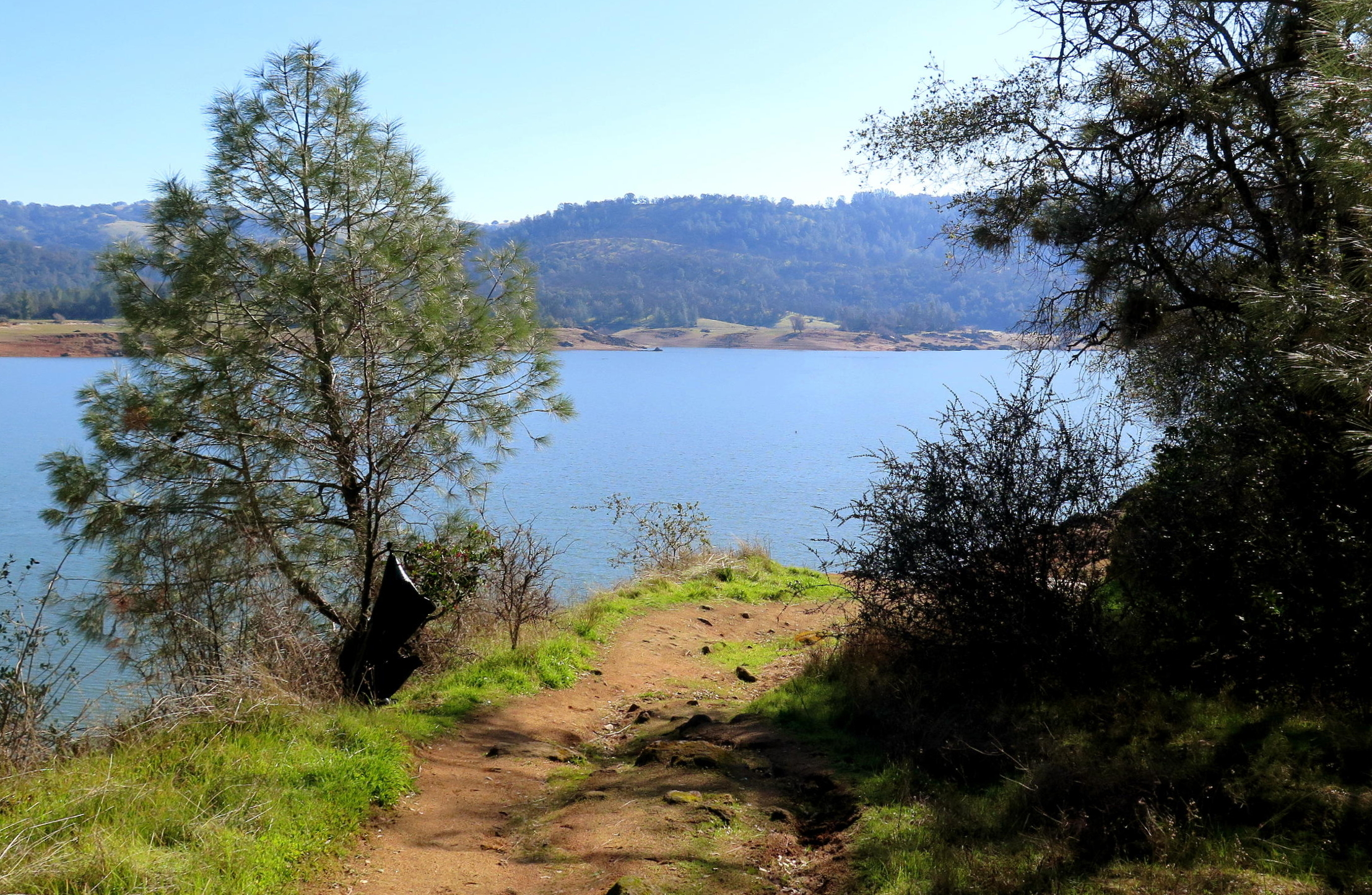
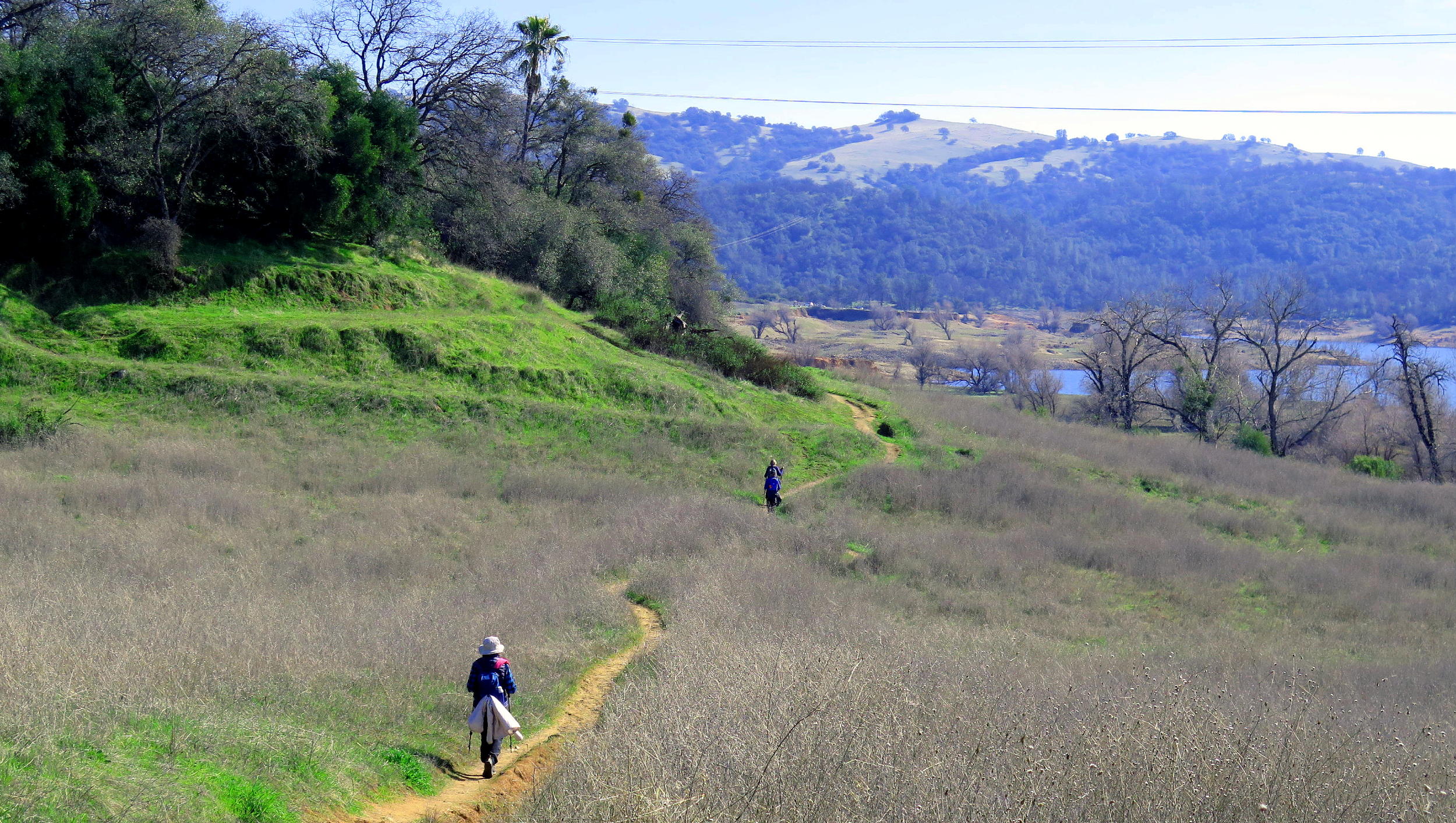
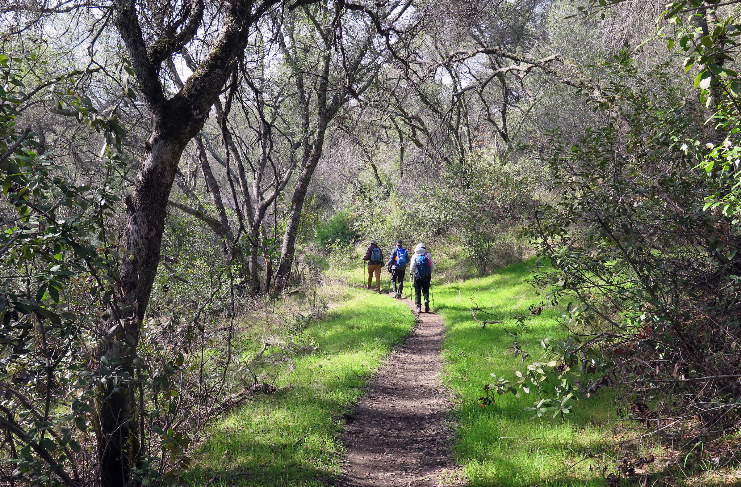
On a mid-week February day, five of us drove to the Granite Bay area to walk on part of the Pioneer Express Trail, on the west side of Folsom Lake. We parked in a neighborhood near Horseshoe Bar.
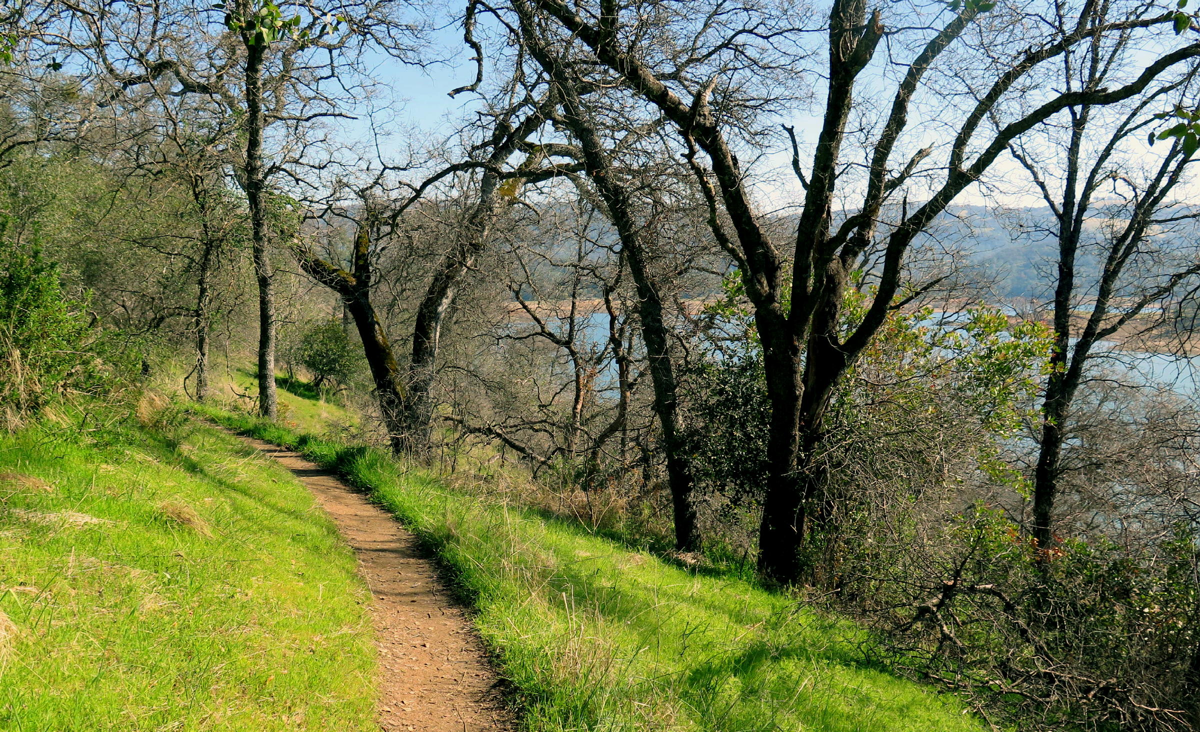
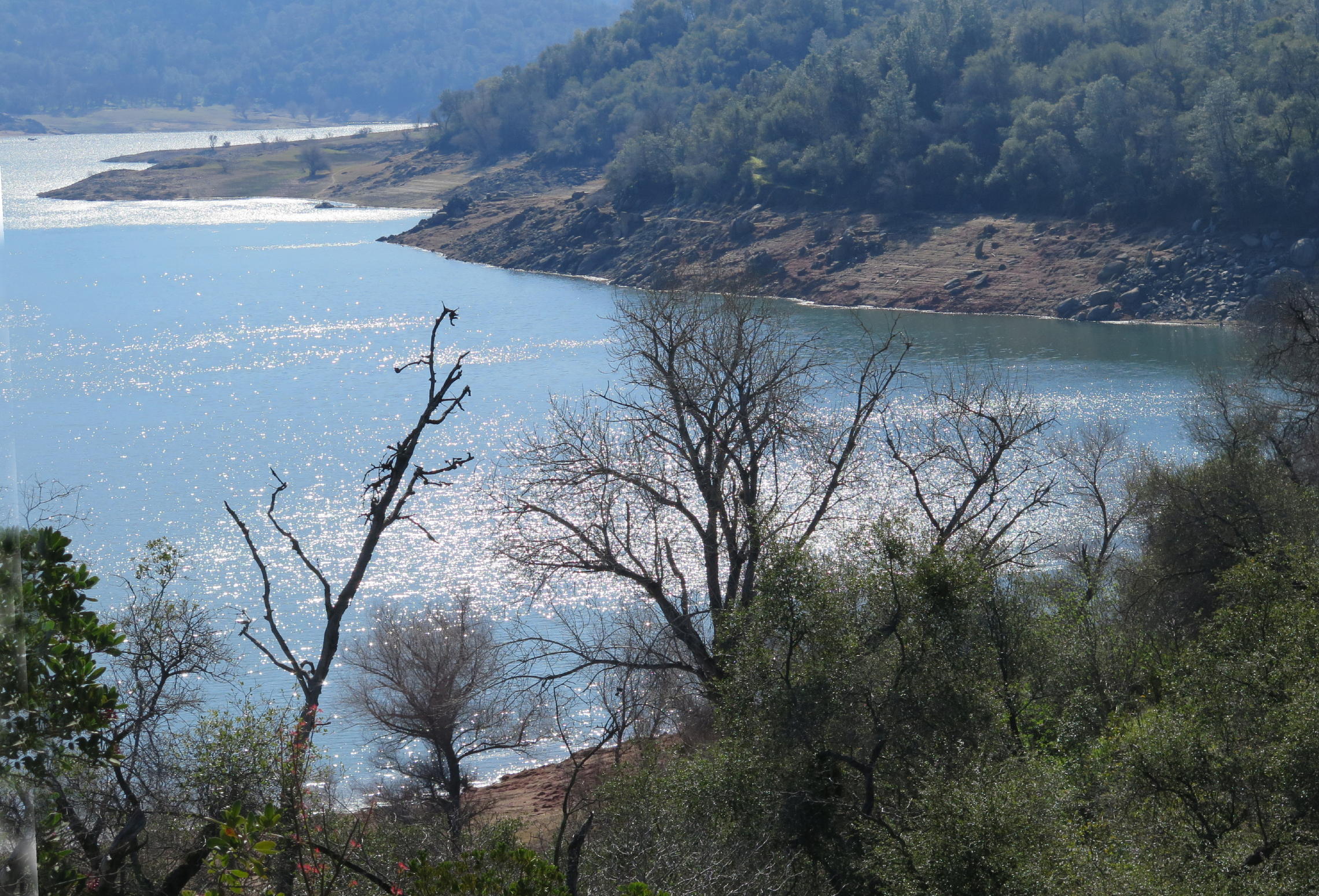
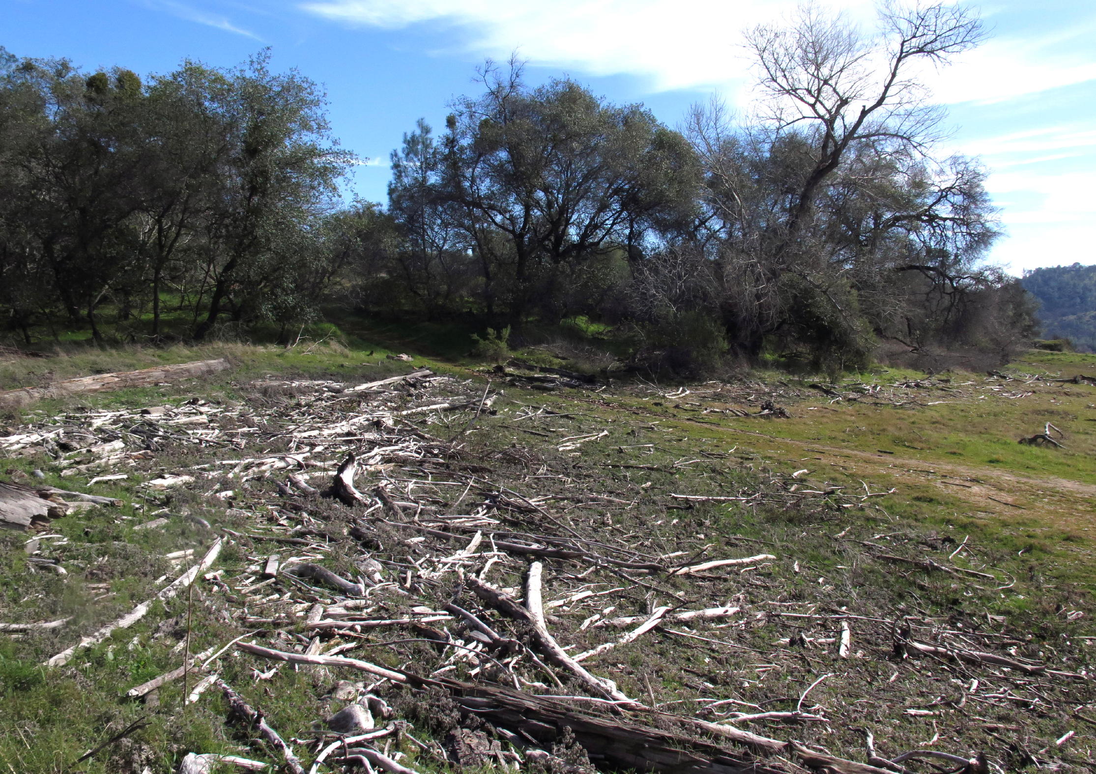
This area is where the north fork of the American River meets Folsom Lake. The walking trail was usually 50 - 100 ft. above the Lake's high water mark, and we were mostly in the woods.
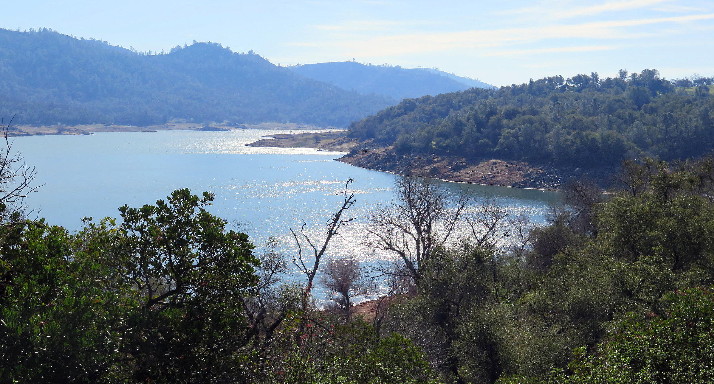
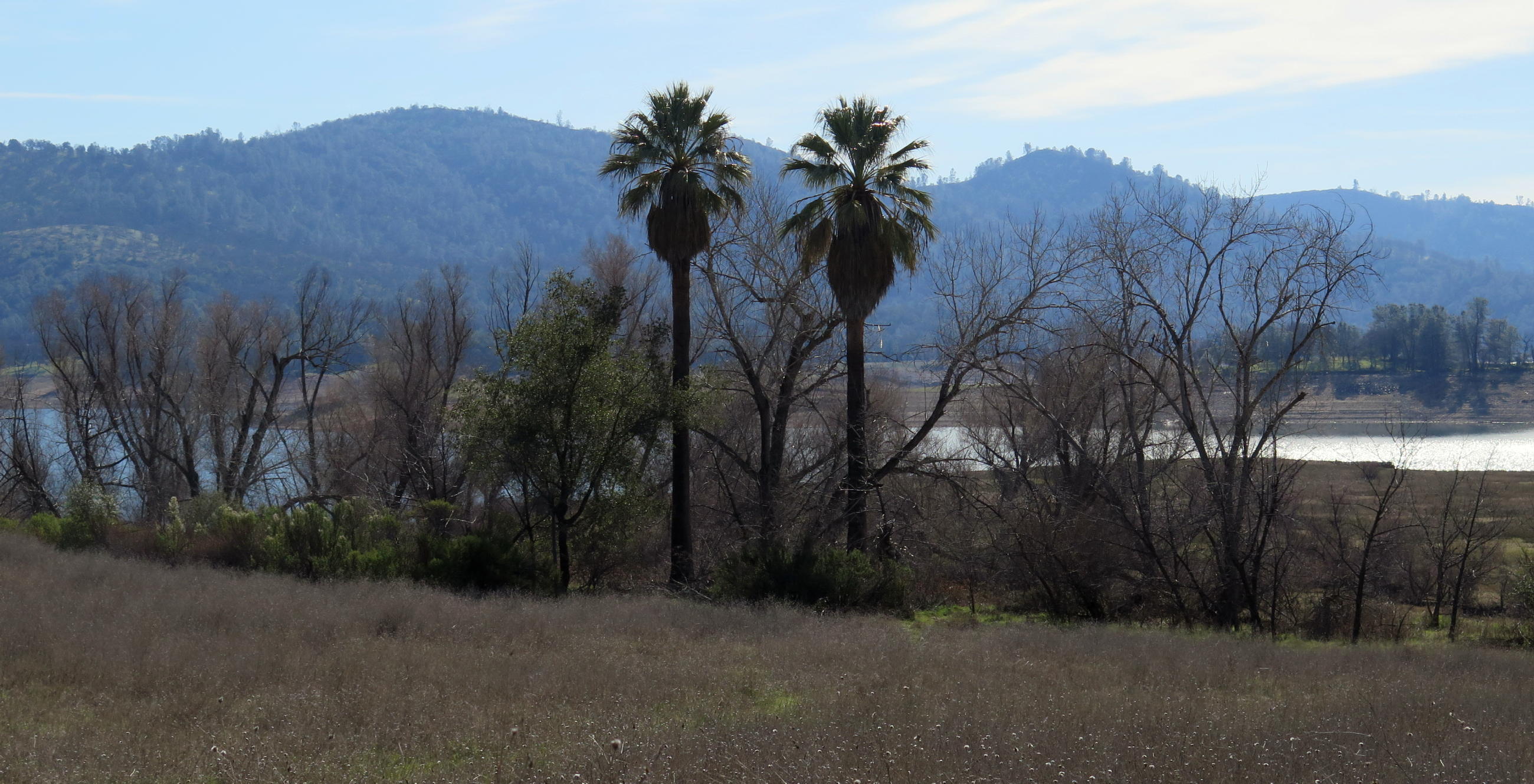
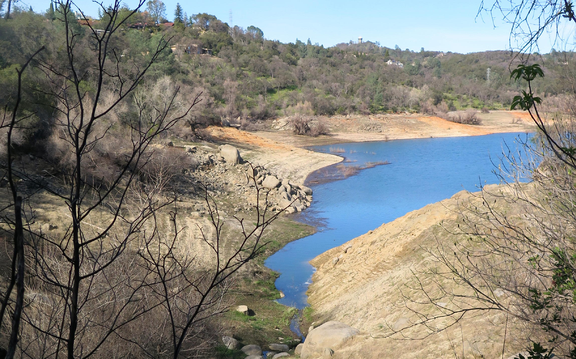
Lake elevation looked normal, with spare capacity for early summer snow-melt & runoff, which varies a lot; in the Sacramento area, great rain years and extended drought years alternate, and have for a very long time.
note - on a pc or laptop you can zoom in & and out, but not on a smartphone.
|
|
Folsom Lake/North Fork junction |
|
Soap plants |
|
|
|
|
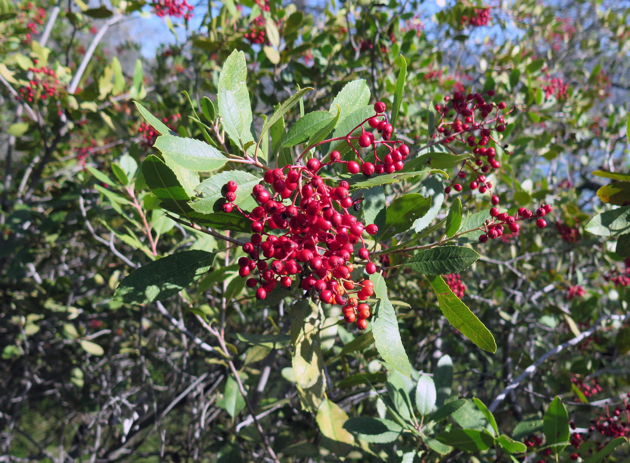
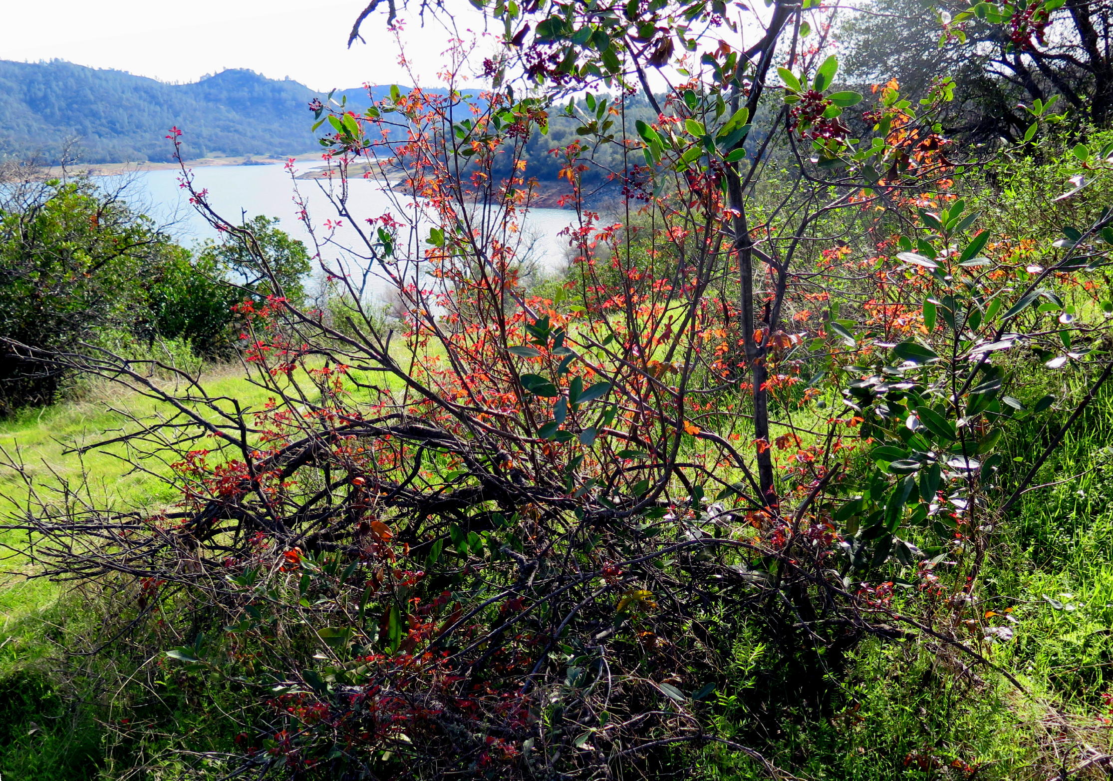
Toyon berries, see note |
|
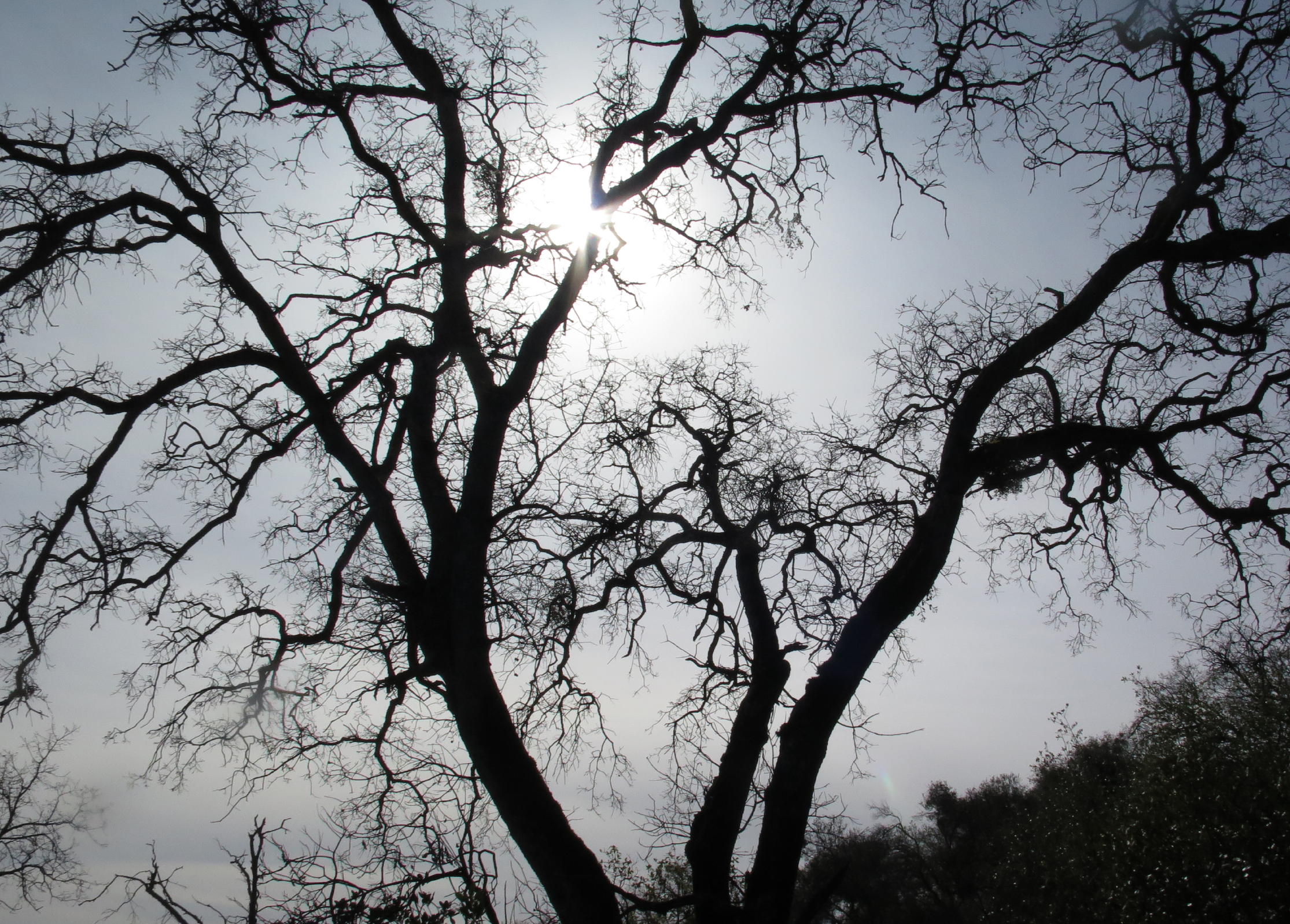
winter light |
|
|
|
|
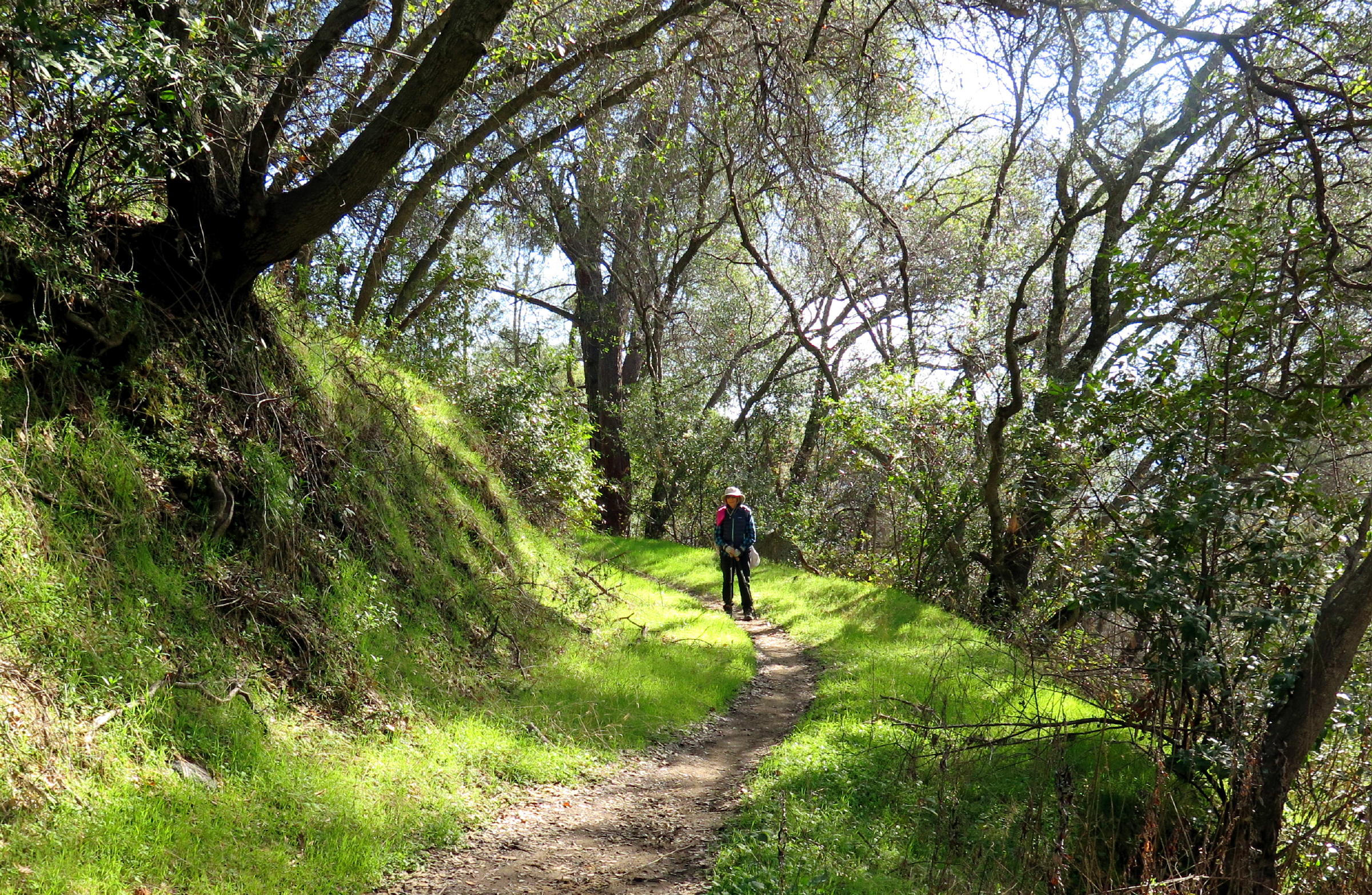
Jean |
|
|
Dave & soap plants | |
|
|
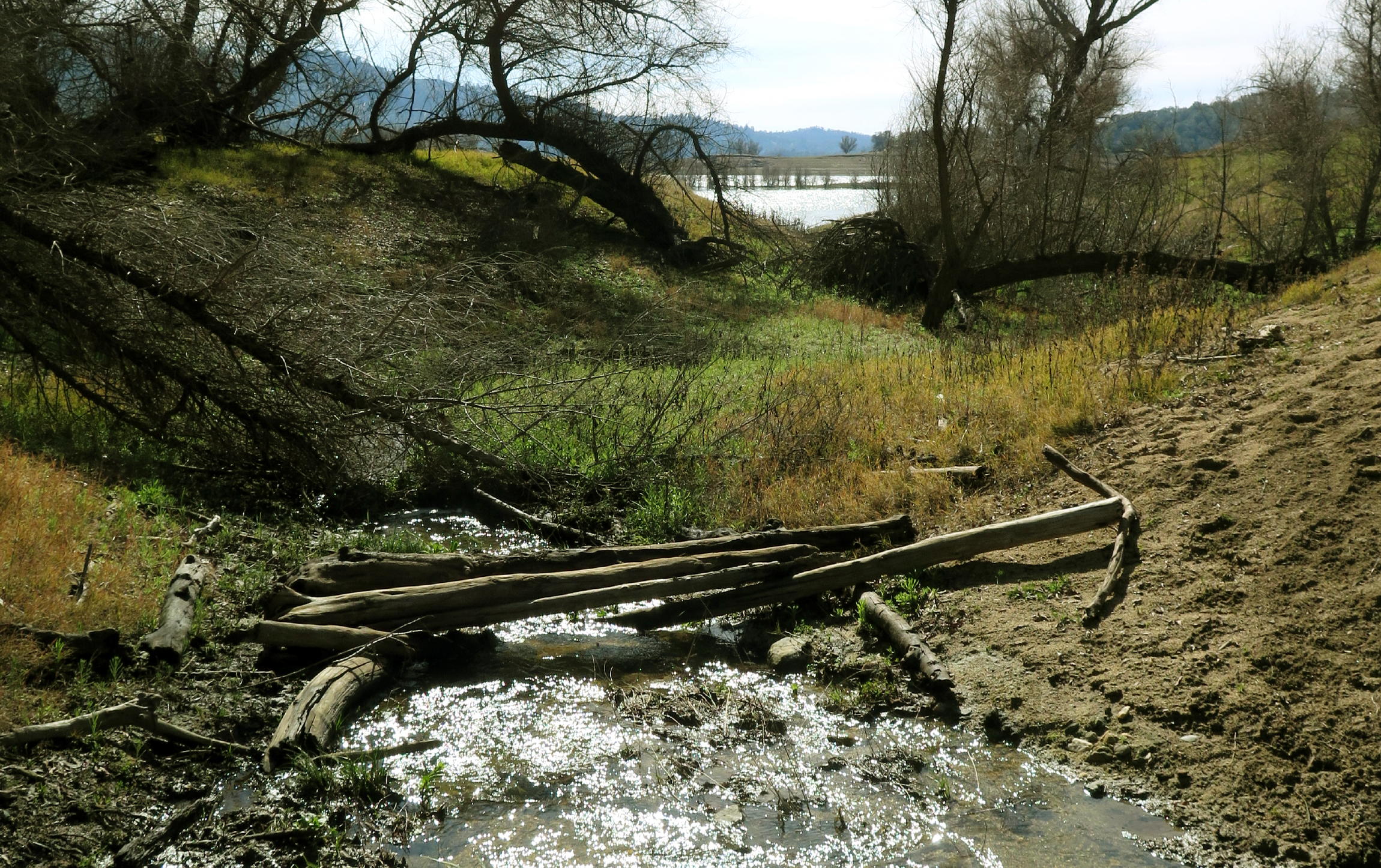
dropping to lake level |
|
impressive palms | ||
|
|
|
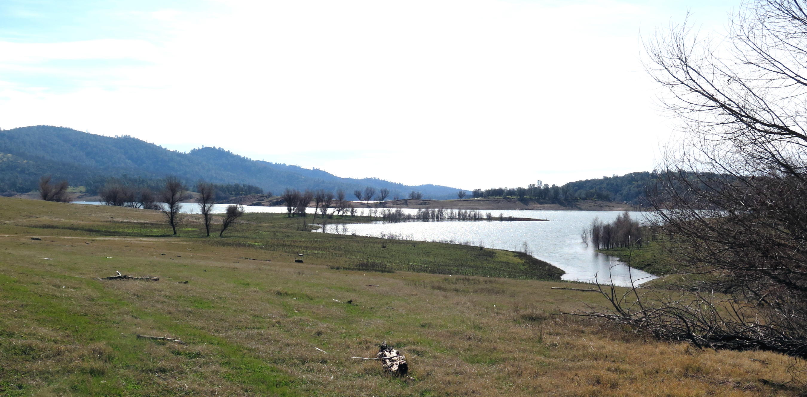
lunch view |
note - The berries show that last summer was too hot & dry.
We found a perfect beach-like setting for lunch, with boulders.
 |
high water mark |
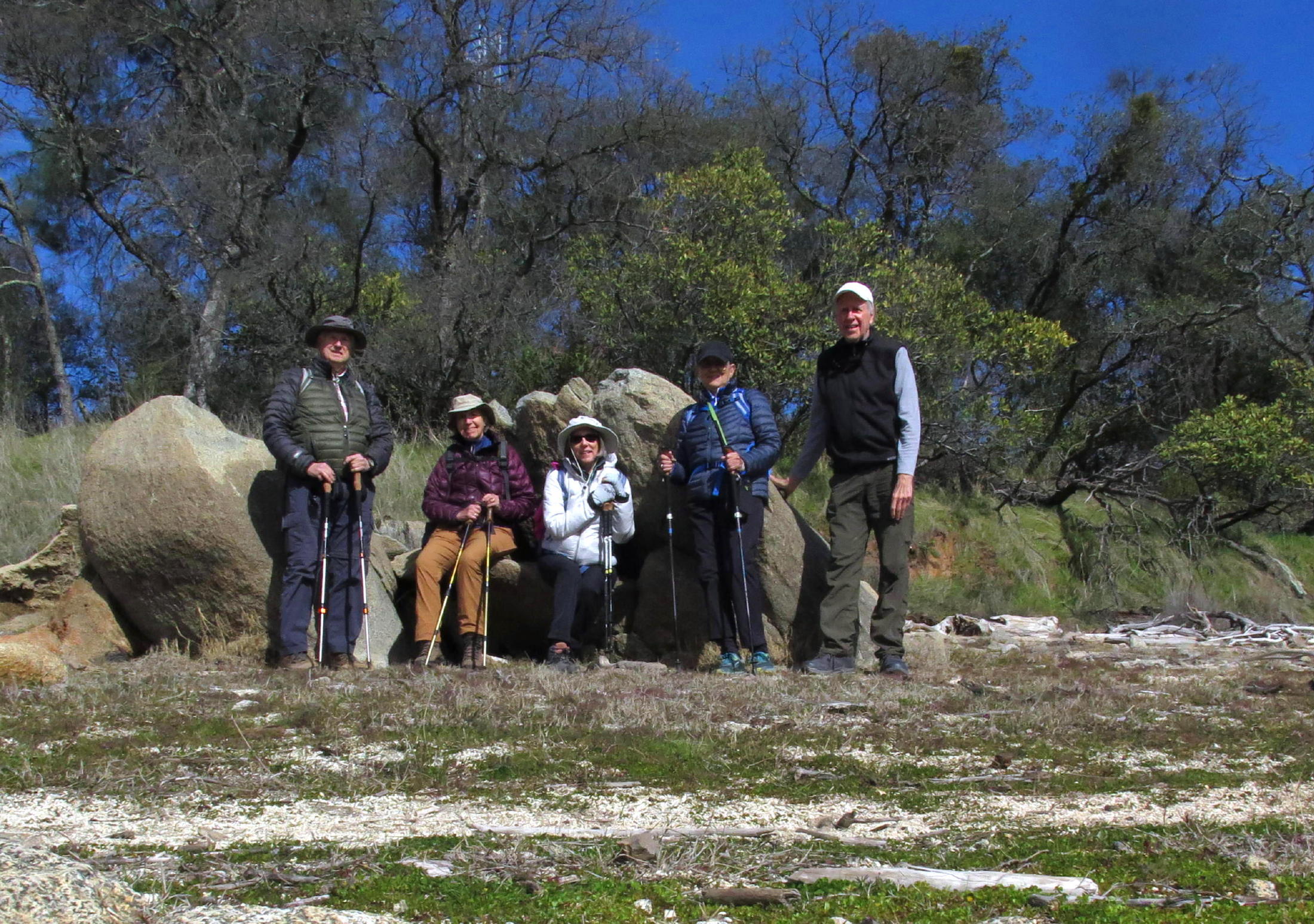 |
lunch spot |
 |
heading back |
 |
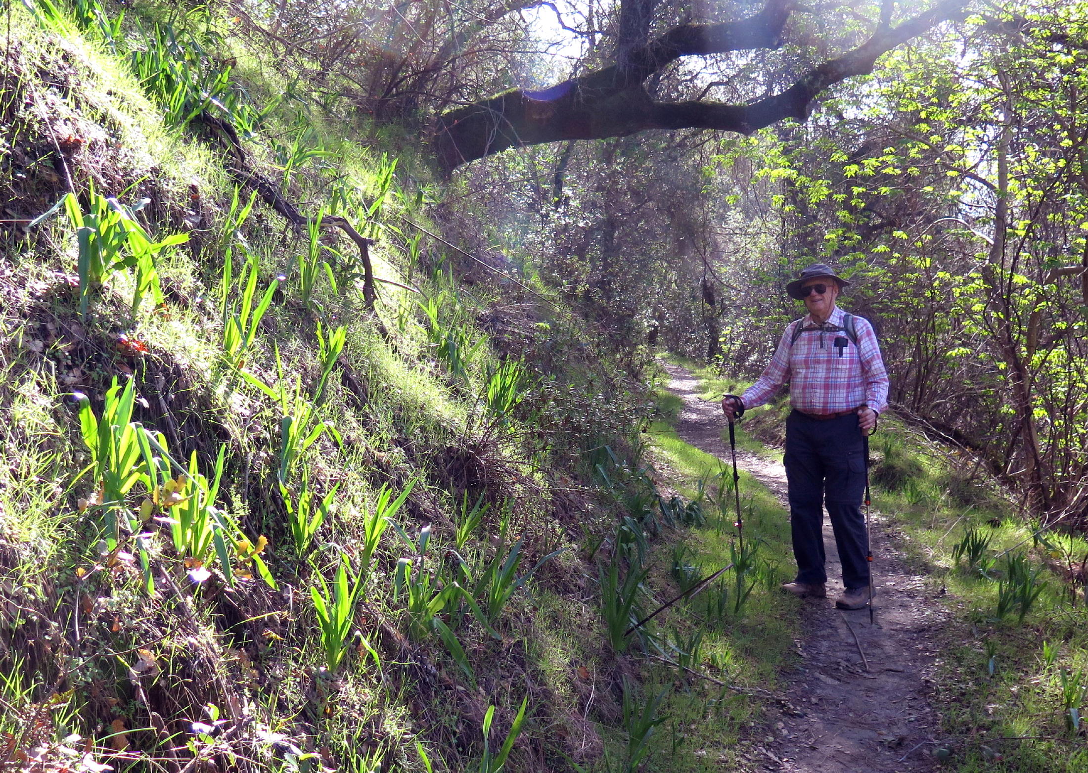
Dave |
 |
 |
||
 |
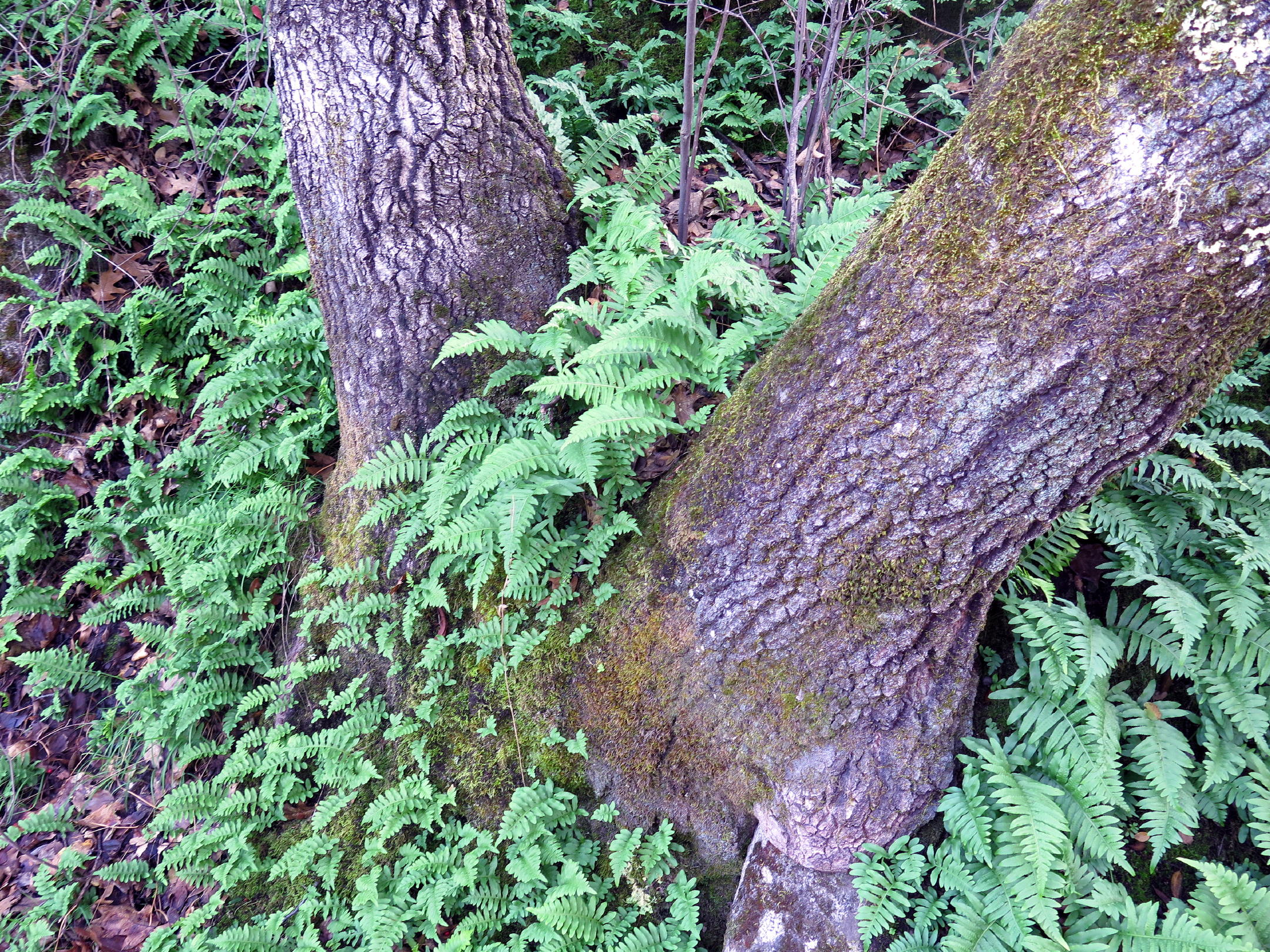
poison oak |
 |
almost back |
 |
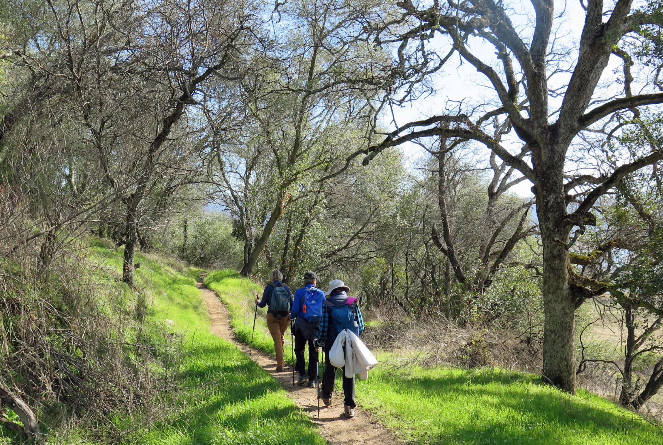
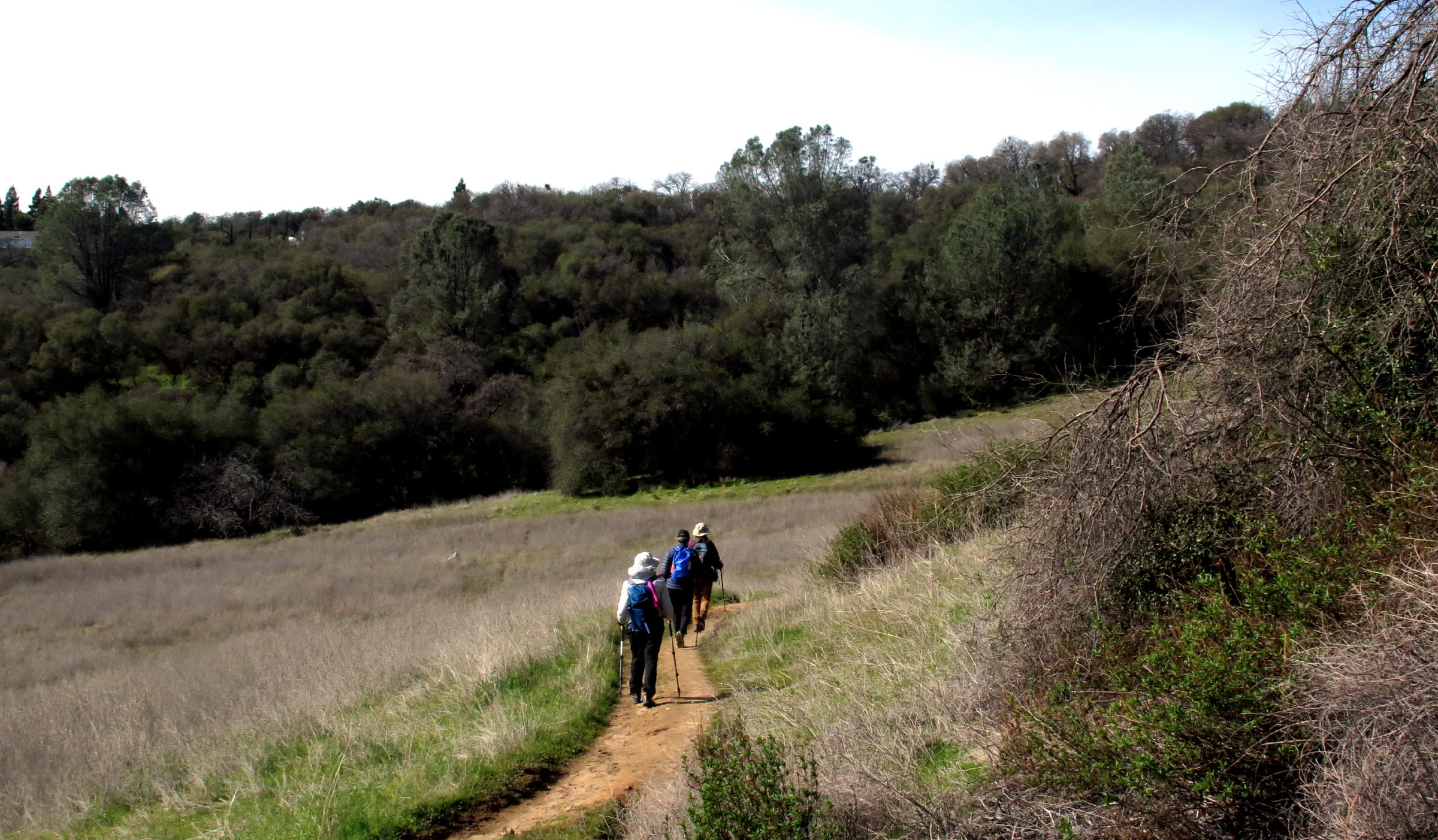
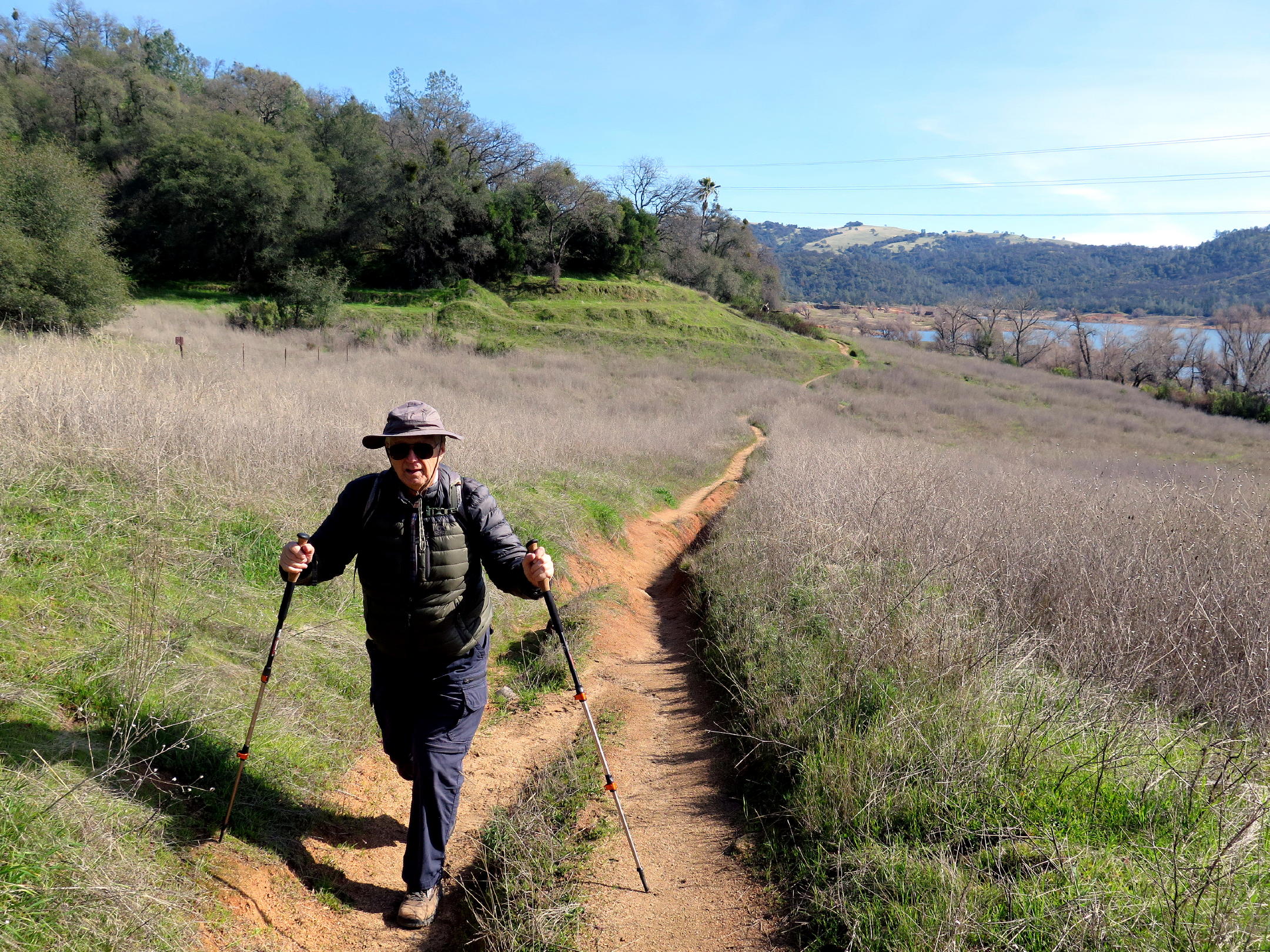
This was a scenic walk, about four miles total, with many grade changes & a variety of landscapes. It seemed like a good workout, on a perfect mid-winter's day, with little wind and our walking pace kept us warm.
This was my first time on the Pioneer Express trail, while many of the hikers said they had been here before, probably on one of Rich B's walks, some years ago.
return to index
Historic note - The original Pioneer Express Trail that took supplies from Sacramento to foothill gold mining towns (or camps), is now under Folsom Lake. Folsom Dam was built in 1955 and the State Recreational Area was established in 1957 and by 1960 was open to the public.