El Dorado Canal - August '26
return to index
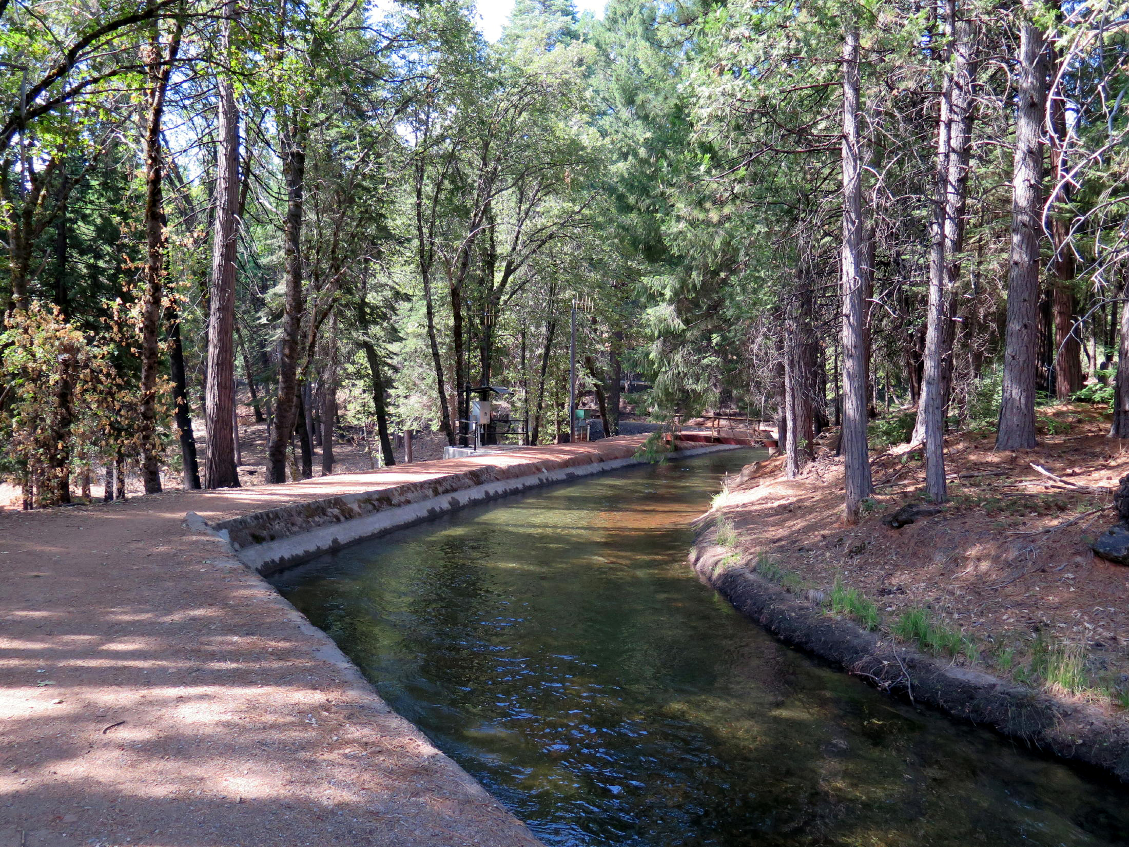
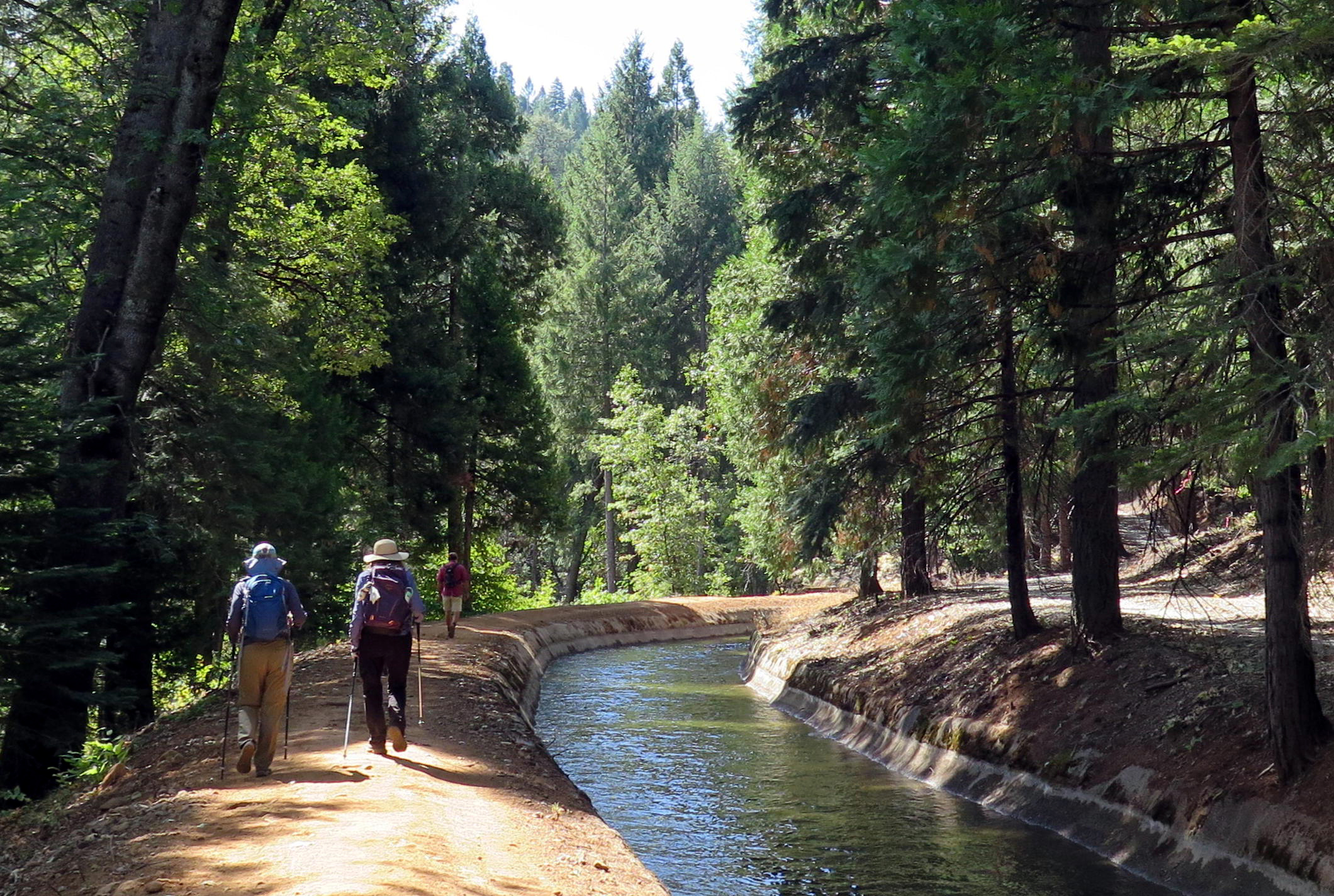
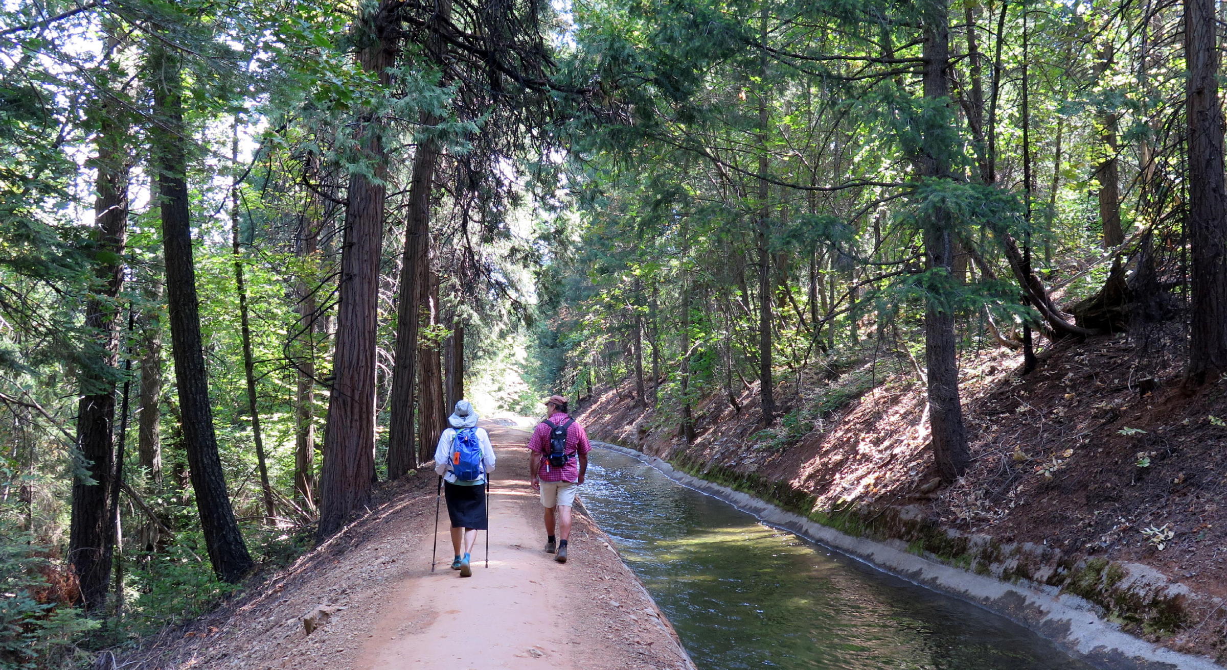
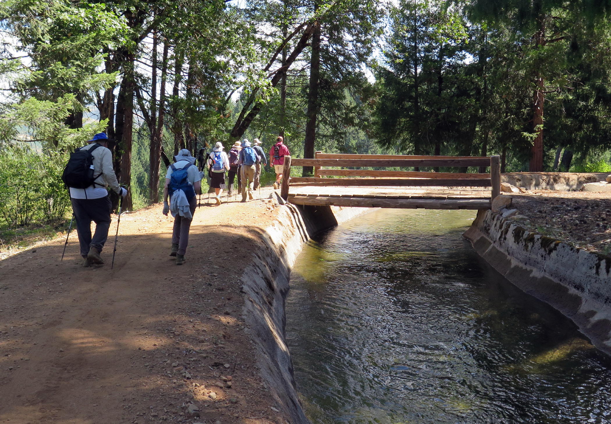
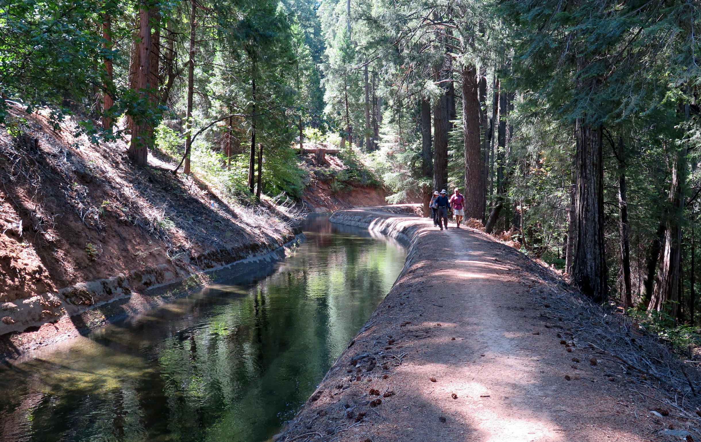
Eight of us drove east on highway 50 from Sacramento into the Sierra Nevada foothills, to the El Dorado Irrigation Ditch, located 4 miles east of Pollock Pines, Ca. There is a healthy looking woods here and no fire damage was evident.
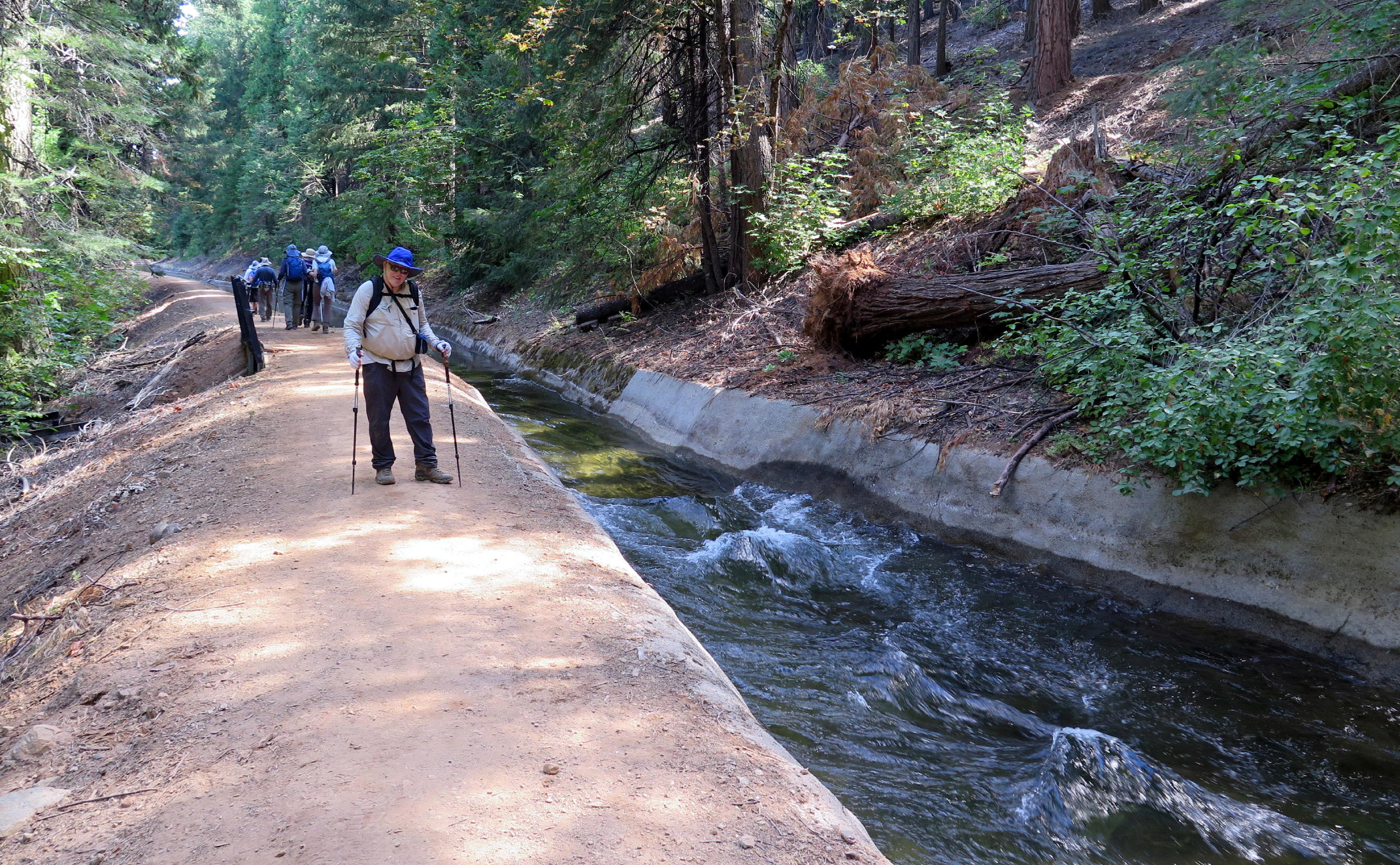
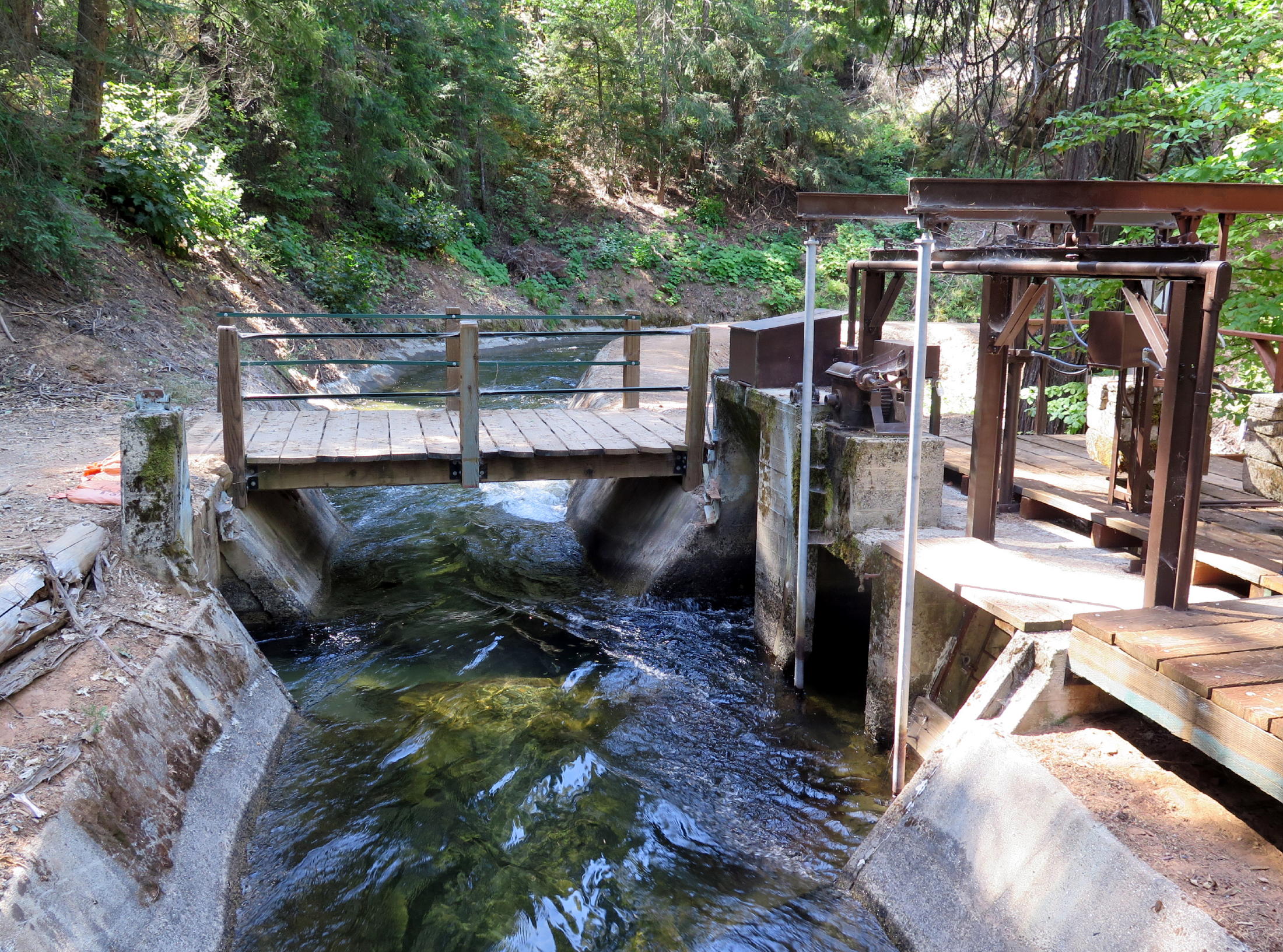
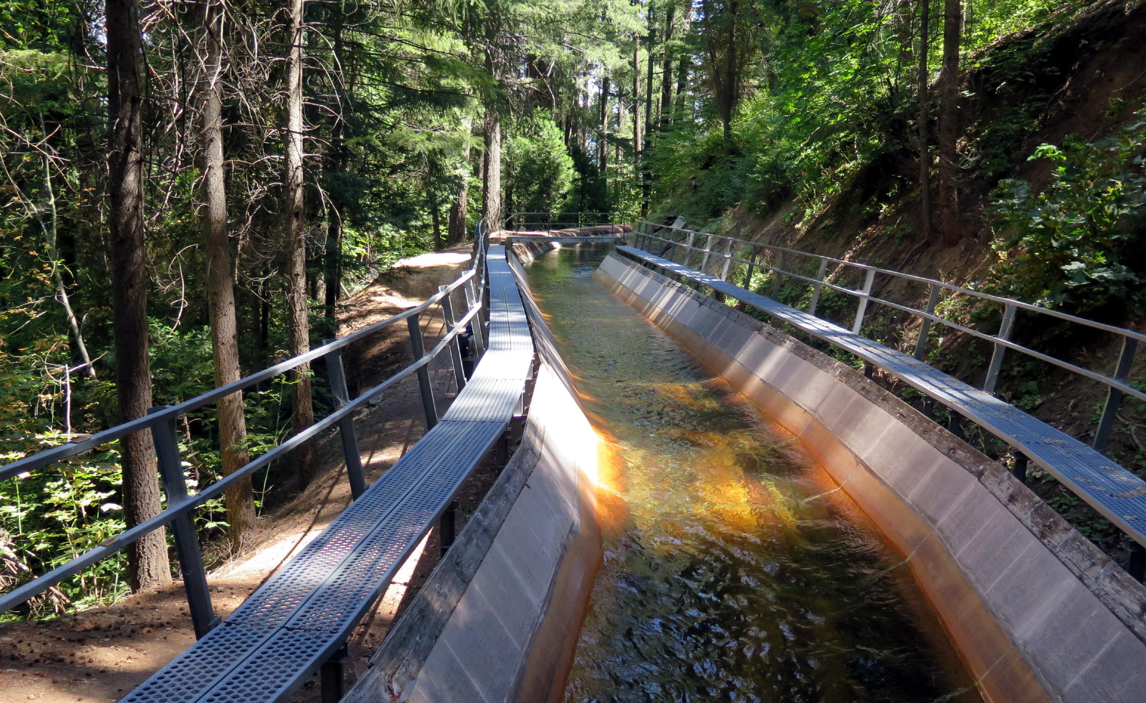
Because of the expected 'sameness' look of the ditch, I wasn't sure if I should take photos, but am glad I did, as it was an attractive woods and of course the light on the water changed a lot. It was pleasant to be next to fast-moving water, and we had cooling breezes for most of the day.
Note - The "El Dorado Ditch" is what google maps calls it, but on AllTrails it is the El Dorado Canal Trail, 11.8 miles long round trip & gaining 862 ft. Some morning joggers with Ca. FD logos who passed us said there's a lift station bringing water from the South Fork of the American River, at the far end.
|
|
near the car park |
|
Jean, Cynthia & Bob |
|
Donna & Bob |
|
|
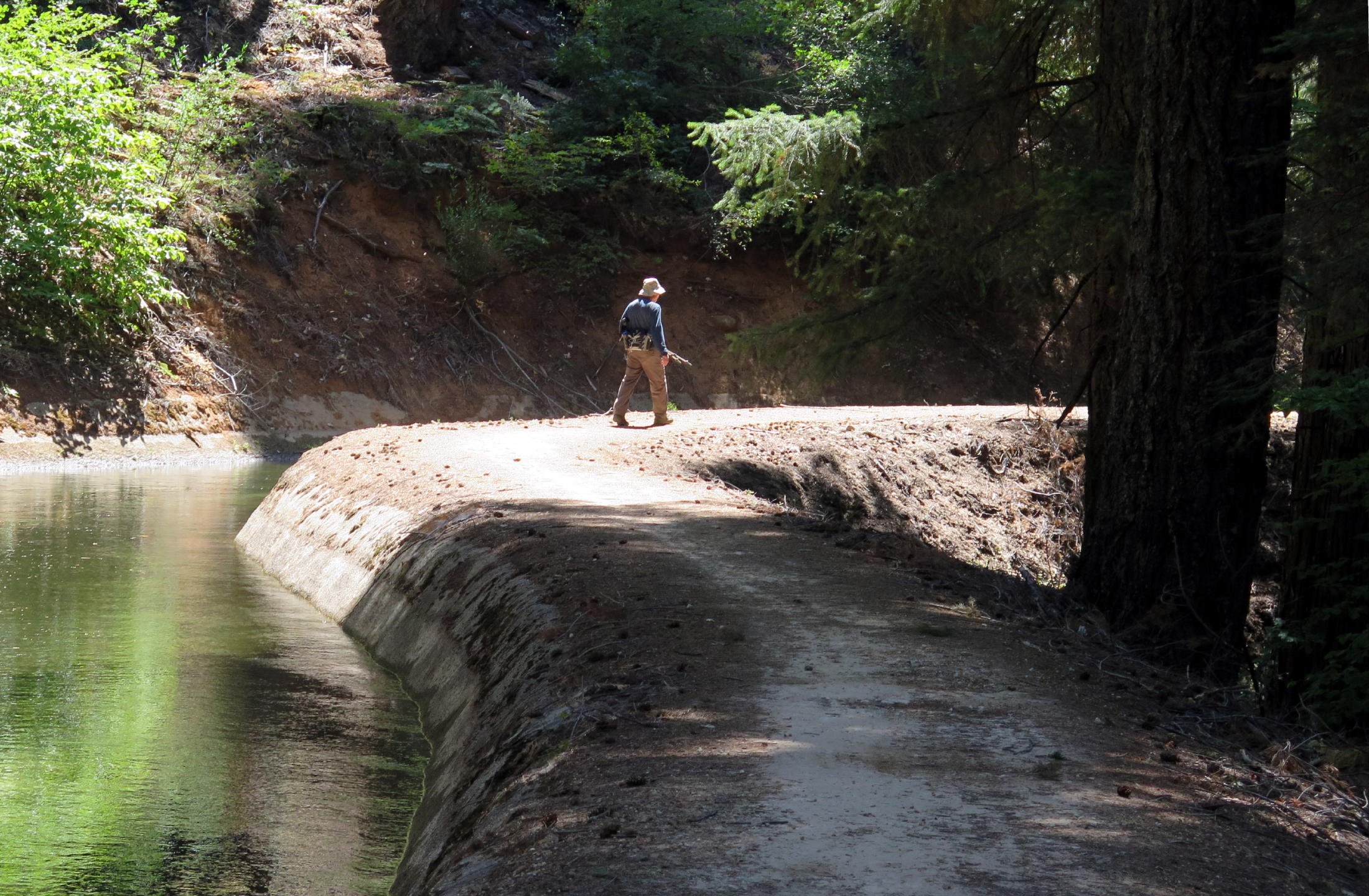
Frank |
|
flow meter? |
|
|
|
|
|
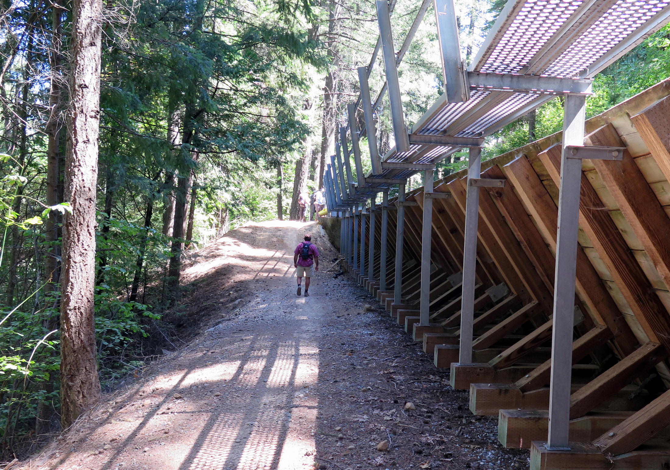
the flume... |
|
...at a creek crossing low spot | |
|
|
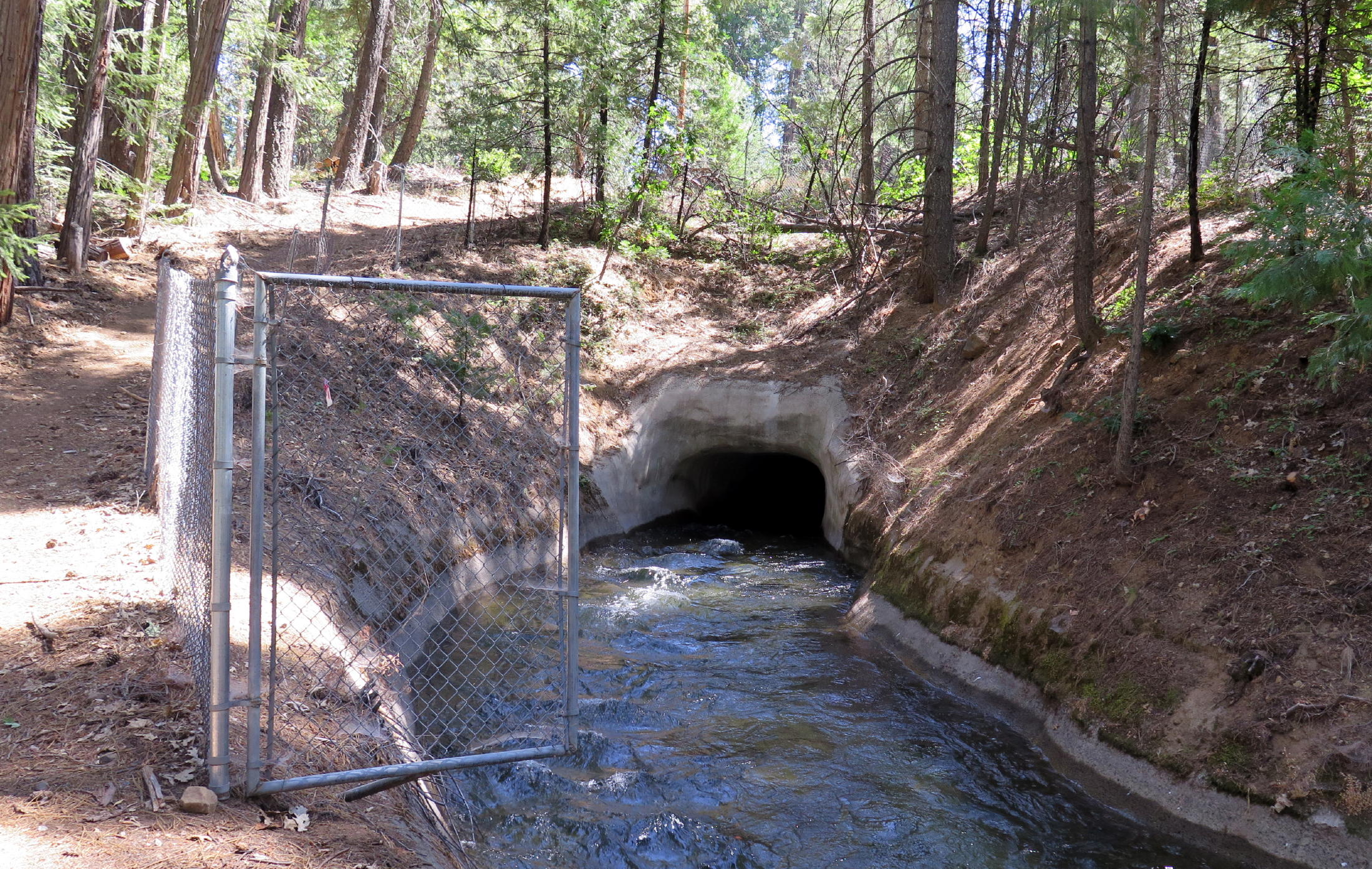
tunnel at road crossing |
|
at the turn around point | ||
|
|
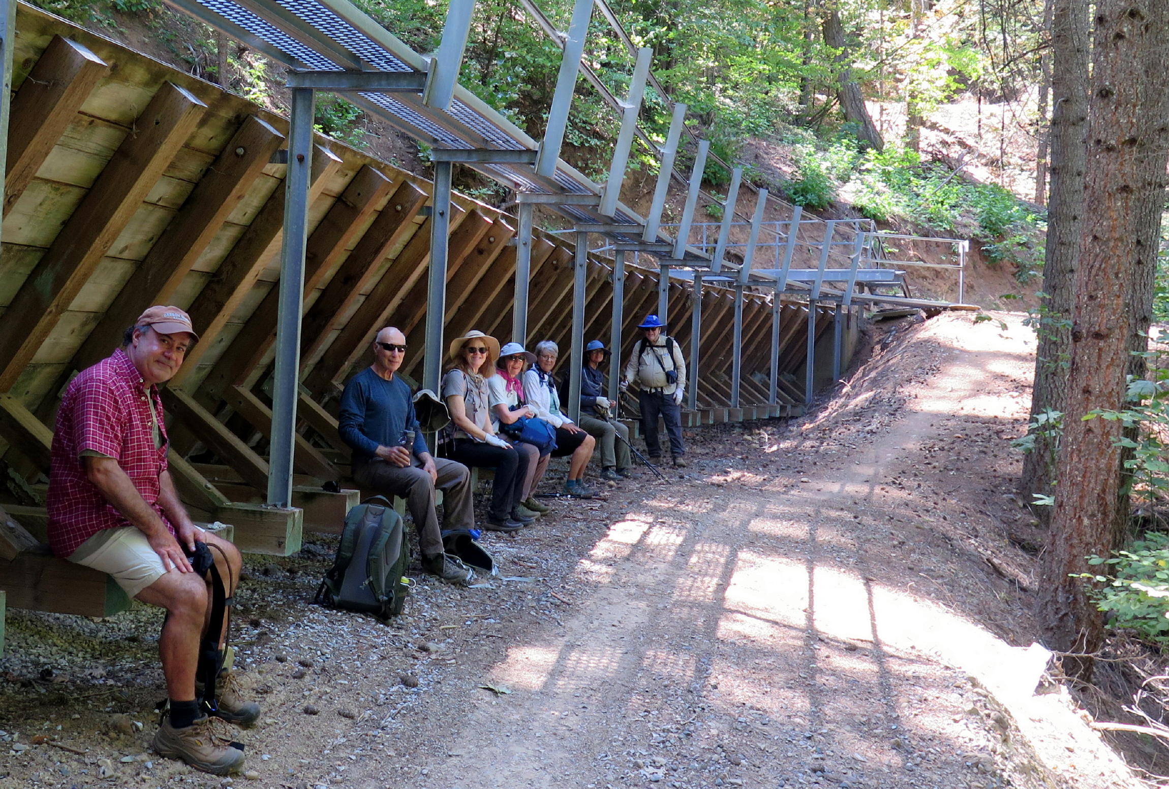
the flume provided decent lunch seating |
|
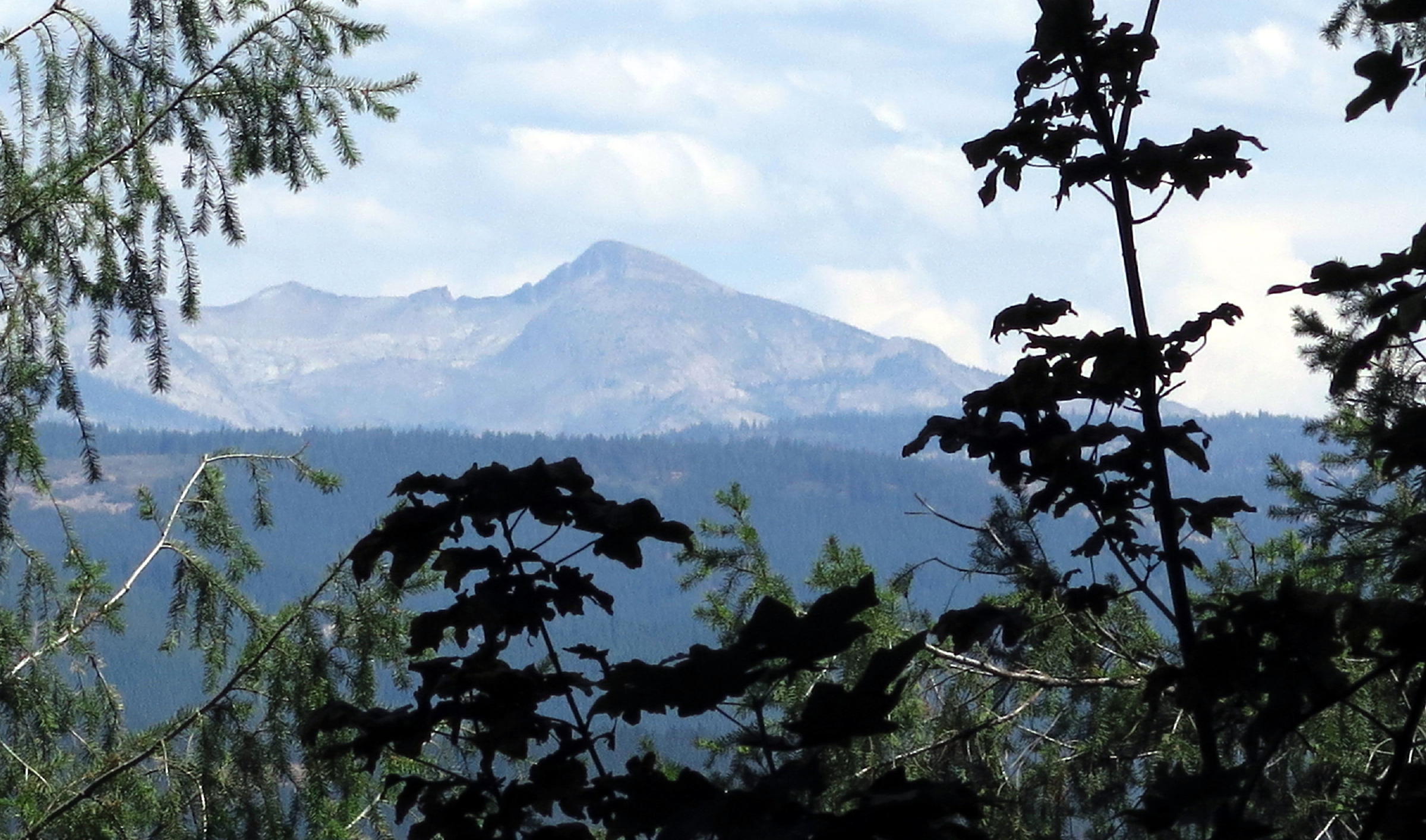
Pyramid Peak at 10,000 ft., see note |
|
Rick |
|
|
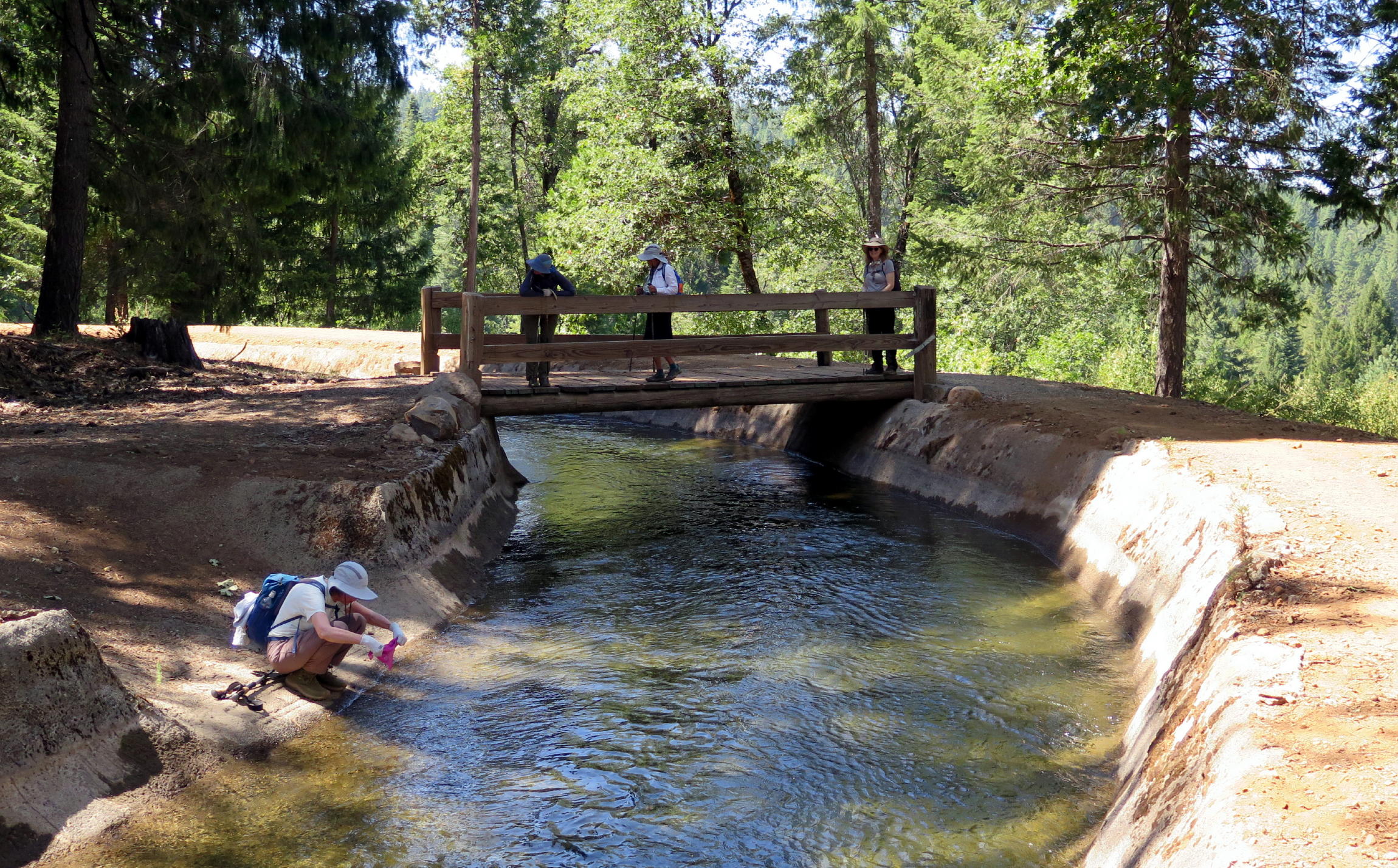
Jean sampling the chilly water |
|
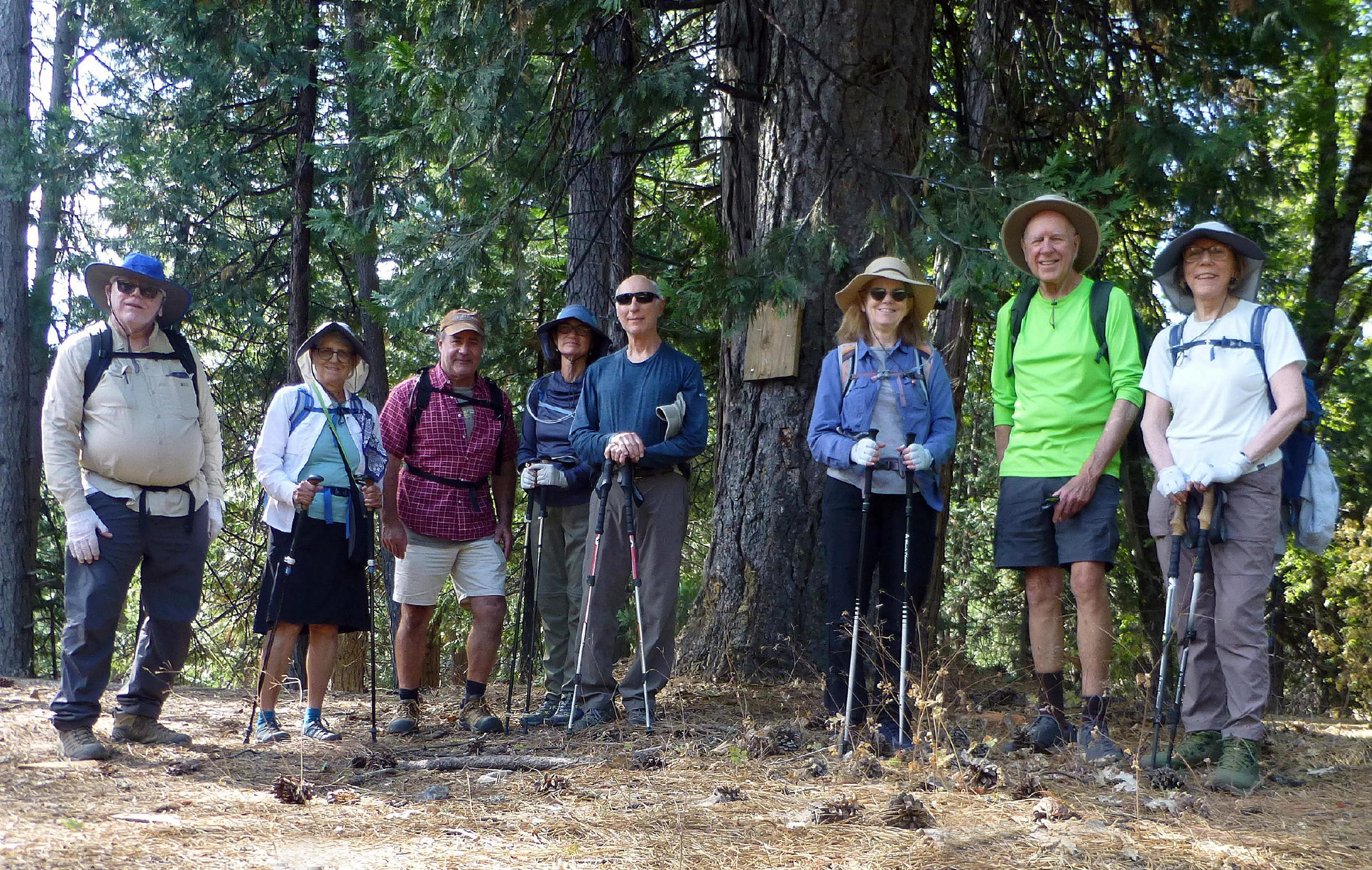
Frank's group photo at the start |
note - Pyramid is one of the most recognizable peaks in Desolation Wilderness.
The group consisted of (from left) Frank, Donna, Bob, Barbara, Rick, Cynthia, me, and Jean. Bob S., the new guy, is a former work-associate, and now a retiree-associate.
The canal walk was enjoyable & it was getting warmer near the end. We had an early start at Sunrise Blvd. & got home early. For some reason, there was minimal freeway traffic both ways. It was the first day of the school year, if that had anything to do with it.
return to index
Postscript - the original irrigation ditch was constructed to supply water for hydraulic mining operations during the 1850's gold rush. In 1925, when the El Dorado Water District (EID) was formed, it acquired the mining ditch network, and today this canal brings raw river water to a drinking water treatment plant nearby.