.jpg)
.jpg)
Rankin Park - August '25
return to index
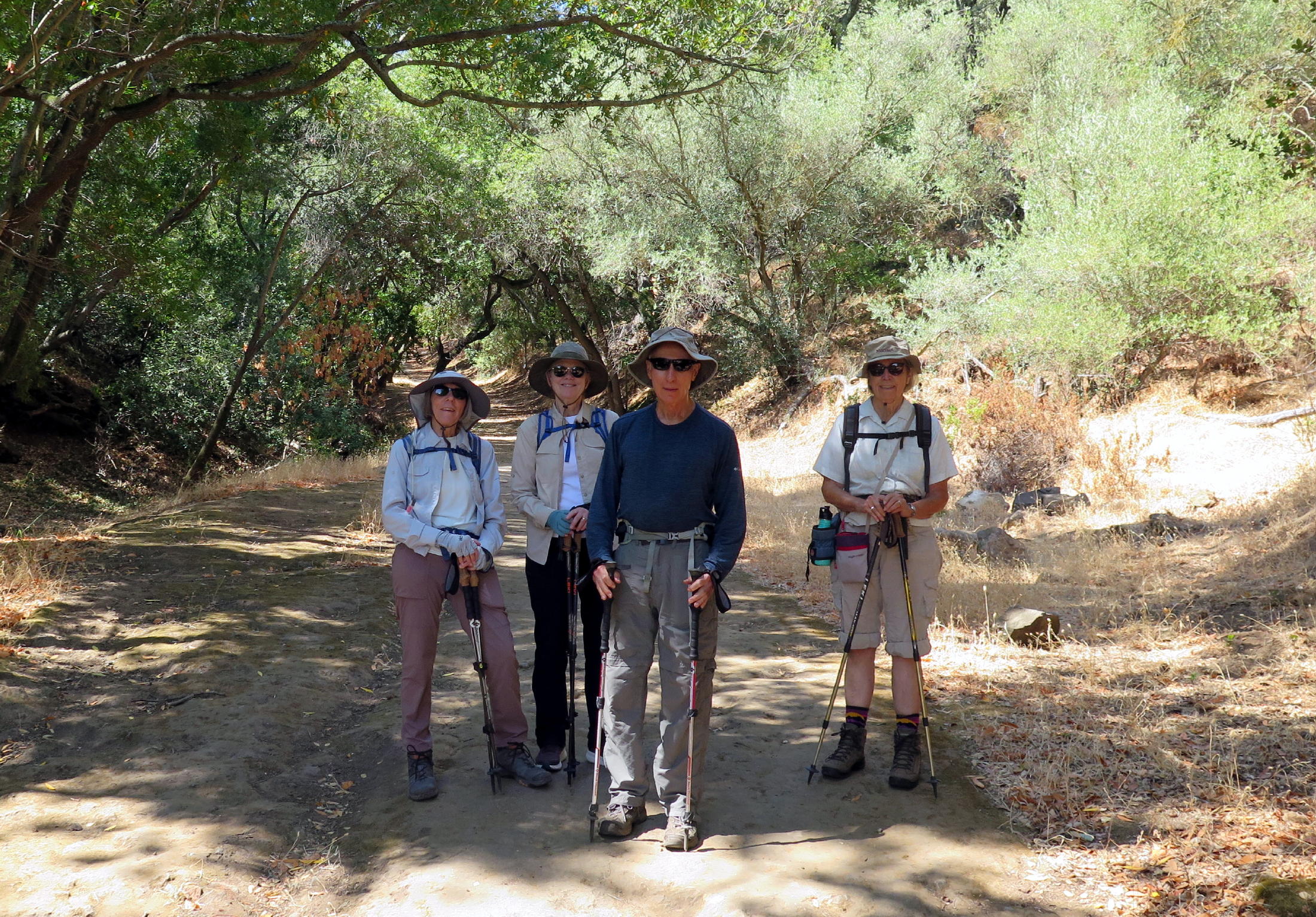
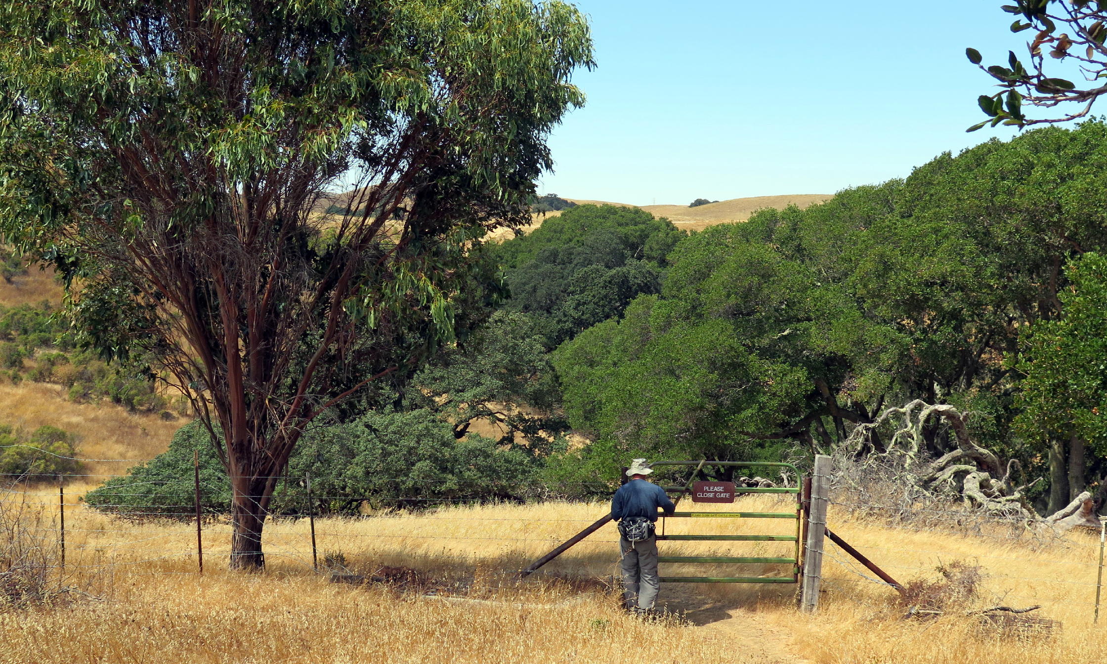
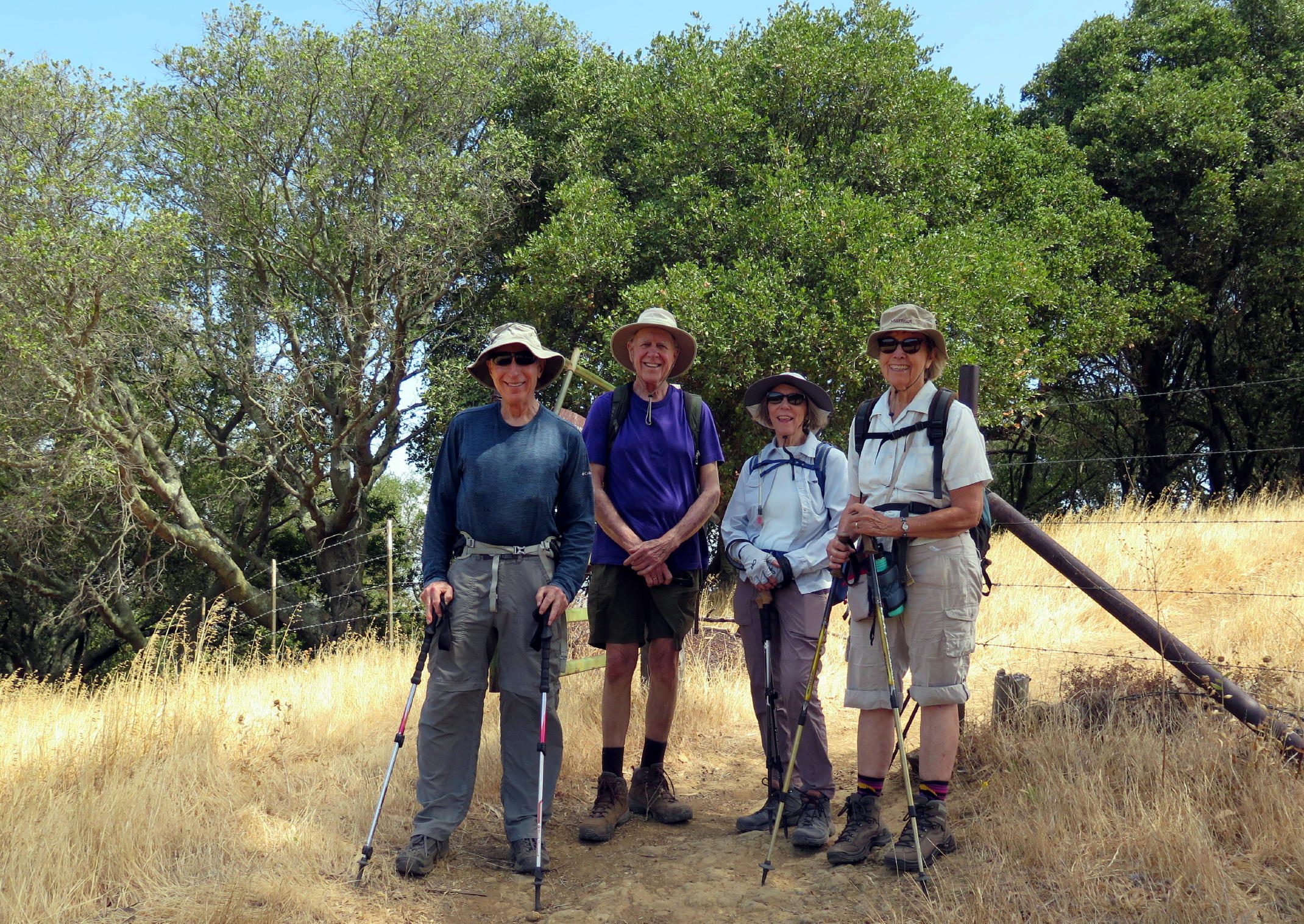
On the 3rd Tuesday in August, five of us drove to Martinez, to go for a walk at Rankin Park. Martinez is a city 'around the corner' from the Bay Area, but, being on the Carquinez Straits brings the cooler Bay Area climate.
On its website, the City calls itself "the Hidden Gem of the Bay Area", but, reaching the park from hwy. 680 means driving through a vast industrial landscape, because the old refinery is everywhere. It used to be more like Dante's inferno here, with hundreds of gas flares, thankfully now a thing of the past.
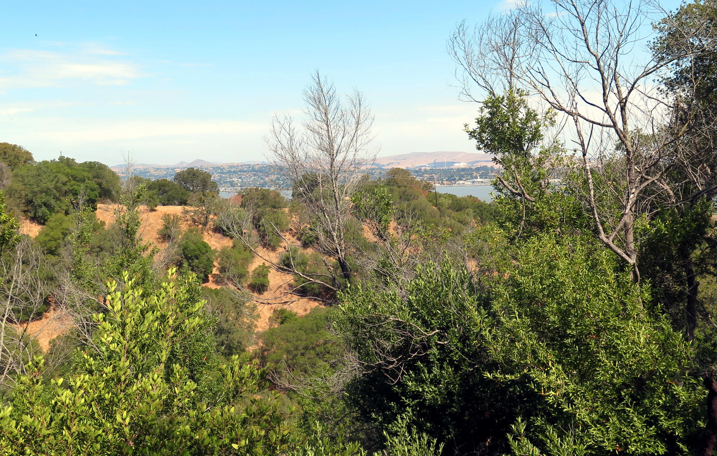
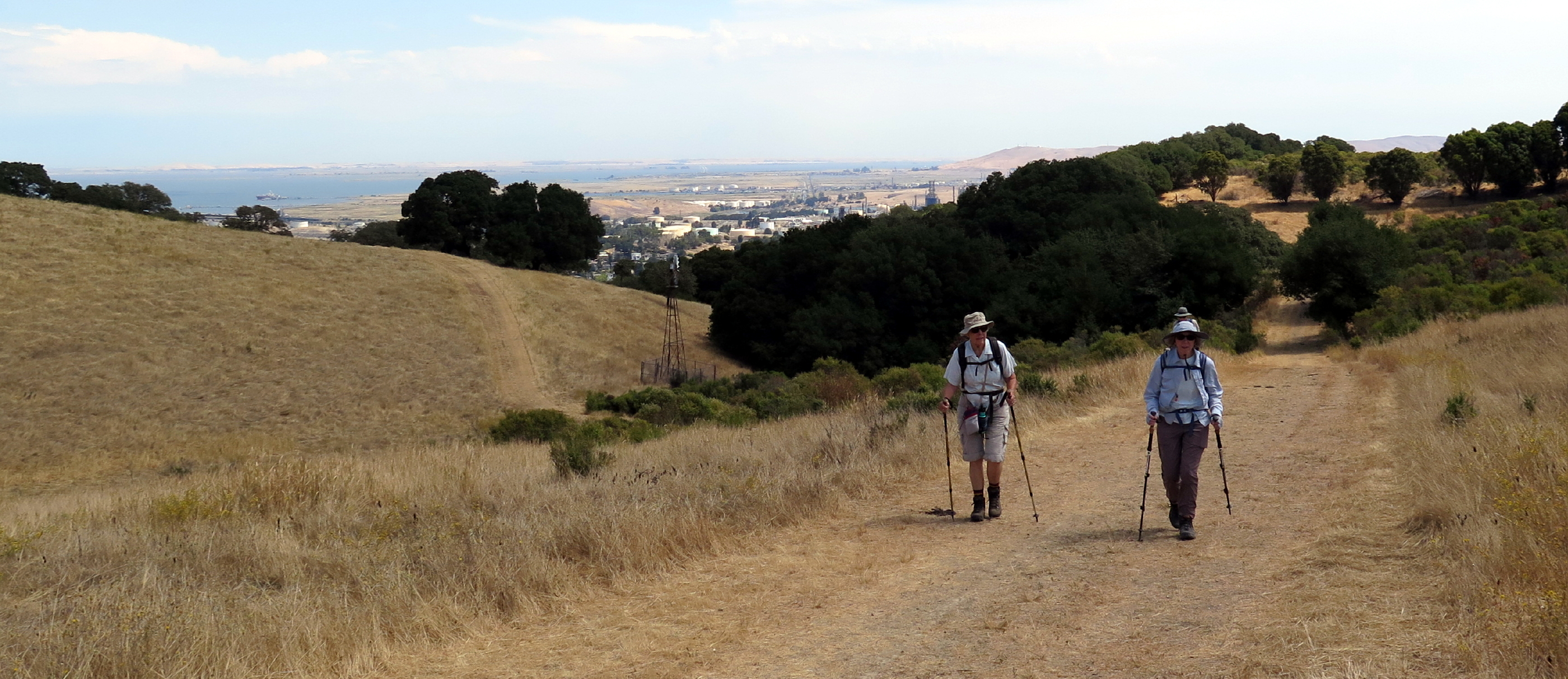
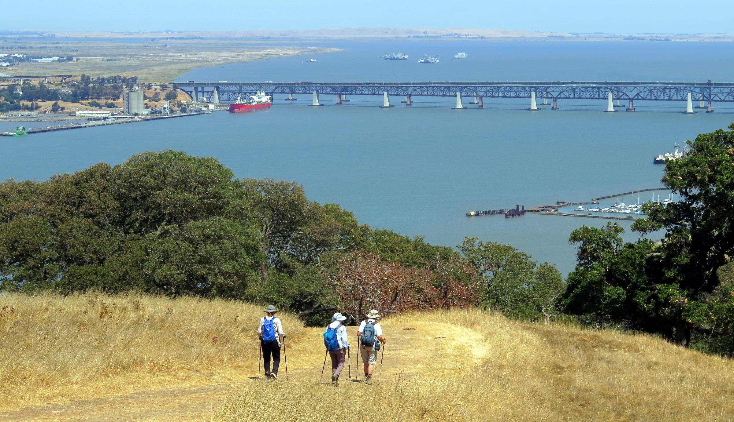
Rankin Park is an attractive city park, the area below meant for families with kids. For hikers, the park has spectacular hills above, with views of the Carquinez Straits.
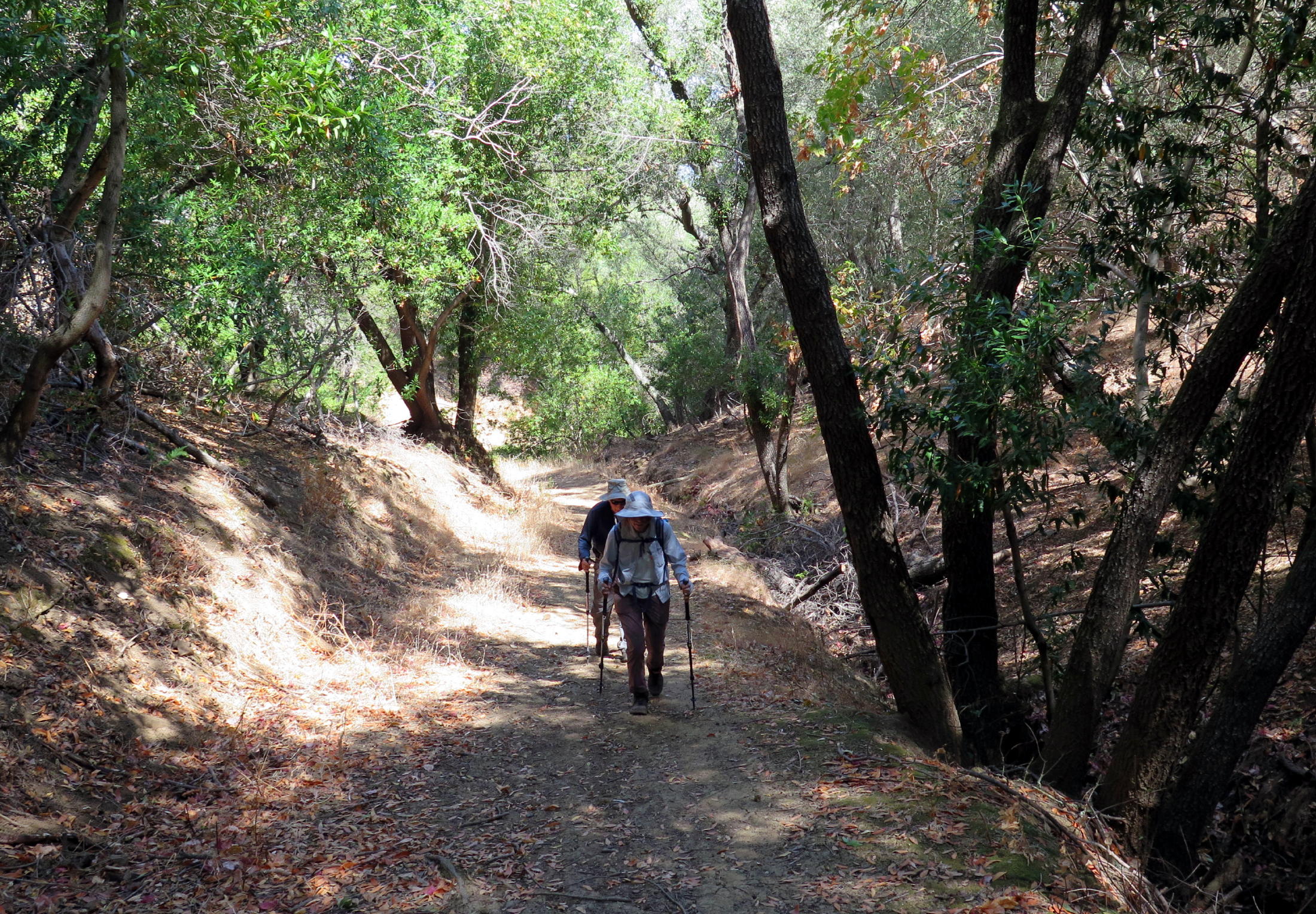
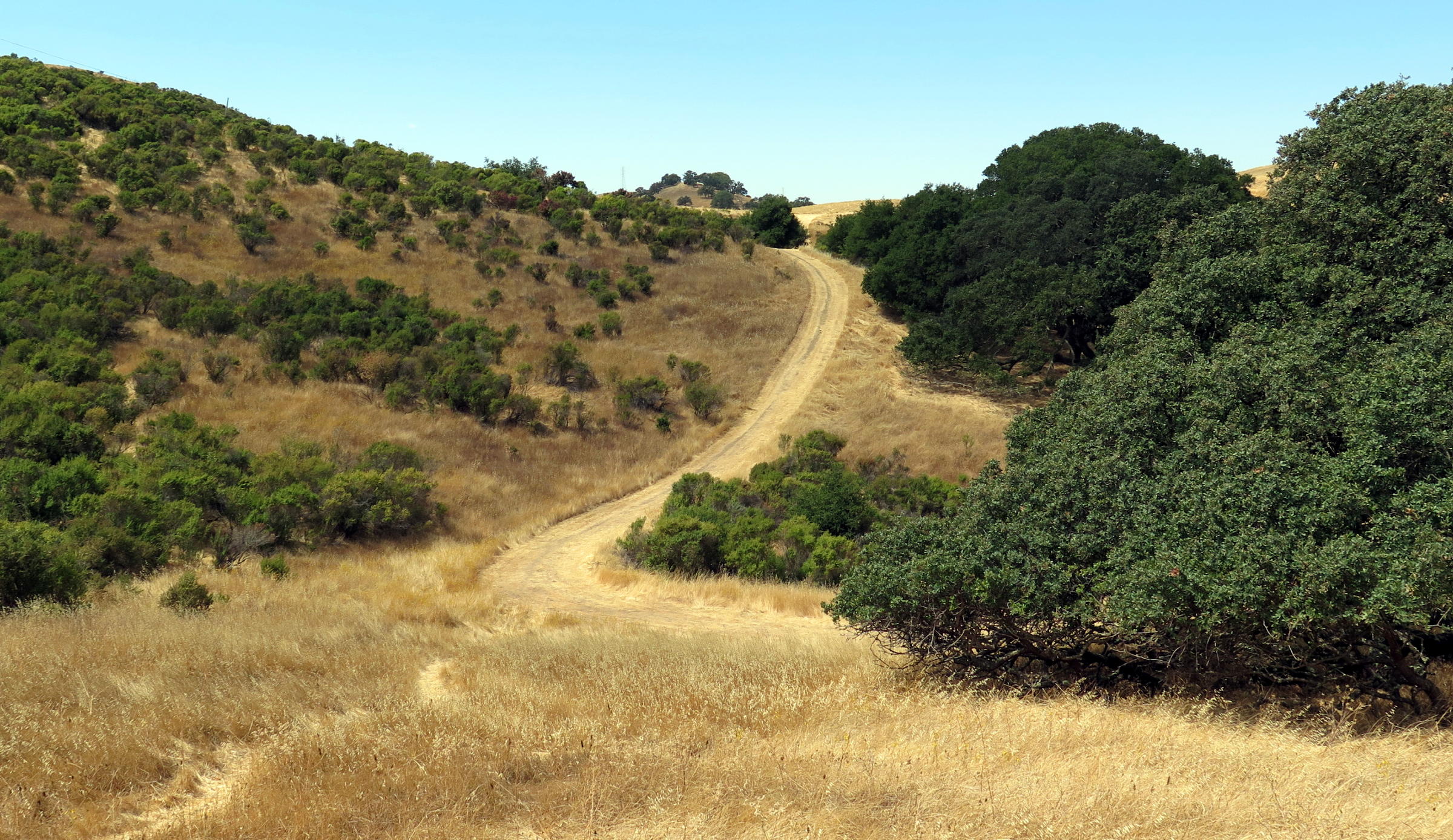
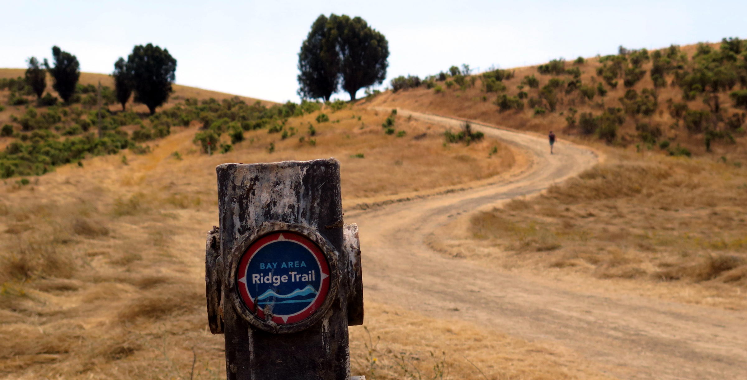
The trails here are amazingly steep, but we had the benefit of shade from Oaks and Bay Laurels on the way up, eventually emerging onto an exposed grassy ridge, with views.
note - on a pc or laptop you can zoom into any part of a photo, but alas, not on a smartphone.
|
|
at the start |
|
continuously steep for awhile |
|
on a lower ridge |
|
|
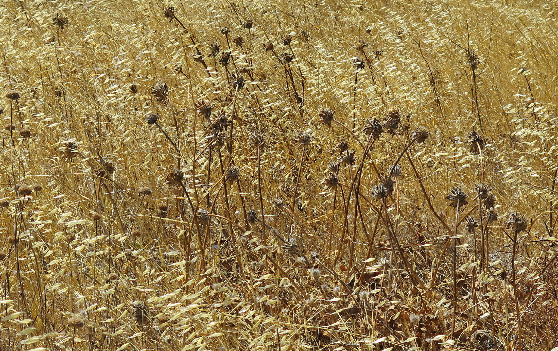
milk thistle |
|
|
||
|
|
|
approaching the ridge |
|
paying the price for good scenery | |
|
|
|
umm... |
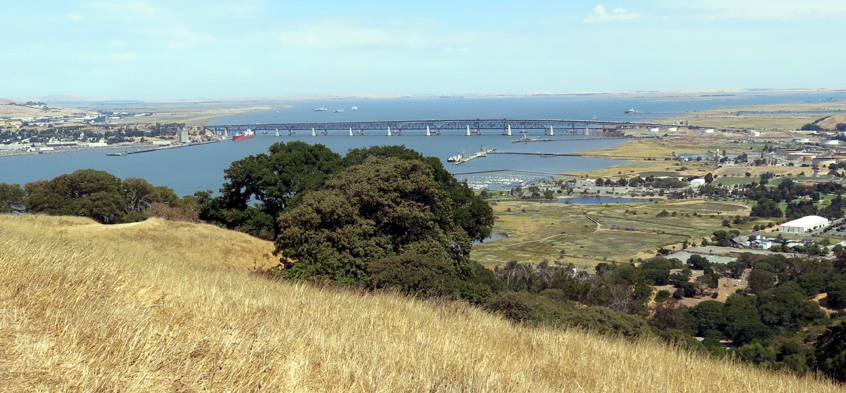
We had lunch at a high point, all of us fitting on a long bench, looking out over vast & watery scenery, but a high-voltage power pole was in the middle of the view.....which view includes the Carquinez Straits, which flows beneath the Benicia-Martinez Bridge, splitting into Grizzly Bay to the left and Suisun Bay to the right.
Suisun Bay is where the Sacramento & San Joachin Rivers merge, and, where towns like Pittsburgh & Antioch are located, completely hidden from our view.
 |
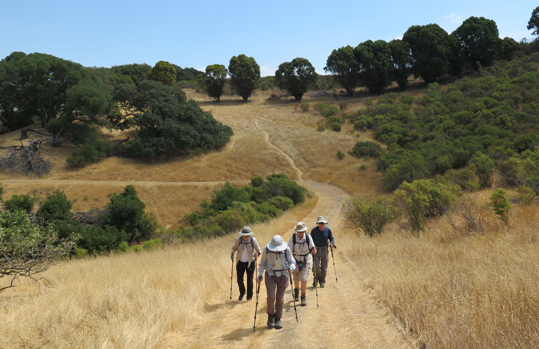
on the return walk |
 |
Benicia-Martinez Bridge |
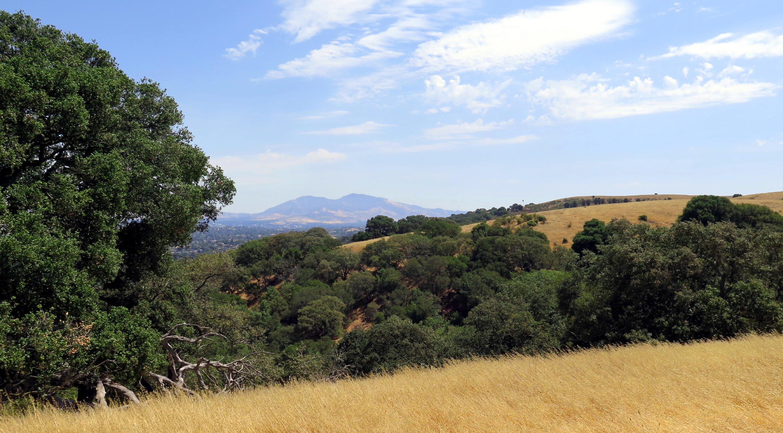 |
Mt. Diablo |
 |
heading downhill |
The return walk became a challenge when a secondary trail that we mistakenly took down from the ridge ran out, in a steep area. My phone & Kathy's (both using AllTrails) showed that the main trail was not far away, but we needed to lose some elevation.
We headed downhill on what I hoped was a hiker shortcut, but instead was a cow track, completely uneven & ankle-twisting. Then we had to get down a steeper section, through trees with dense branches. Almost every branch I grabbed for support was dead & broke off.
Once back on the main trail, we took a break, and then had a few more steep downhill (and uphill) sections to go to get back to the cars.
Postscript - I was impressed at how well everyone did, especially on the cow track/dense brush part on the return walk. At the car park we all agreed that it was worth it, to get off-trail & have to ad-lib a bit.
We walked 3 miles with at least 700 ft. of gain.
return to index